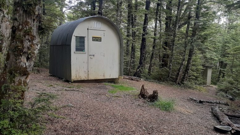
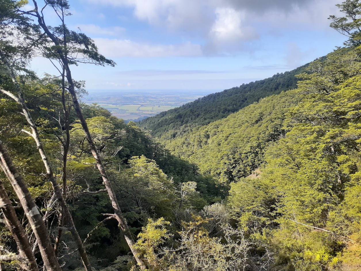
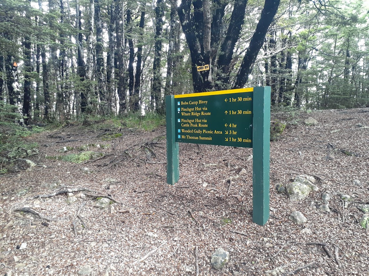
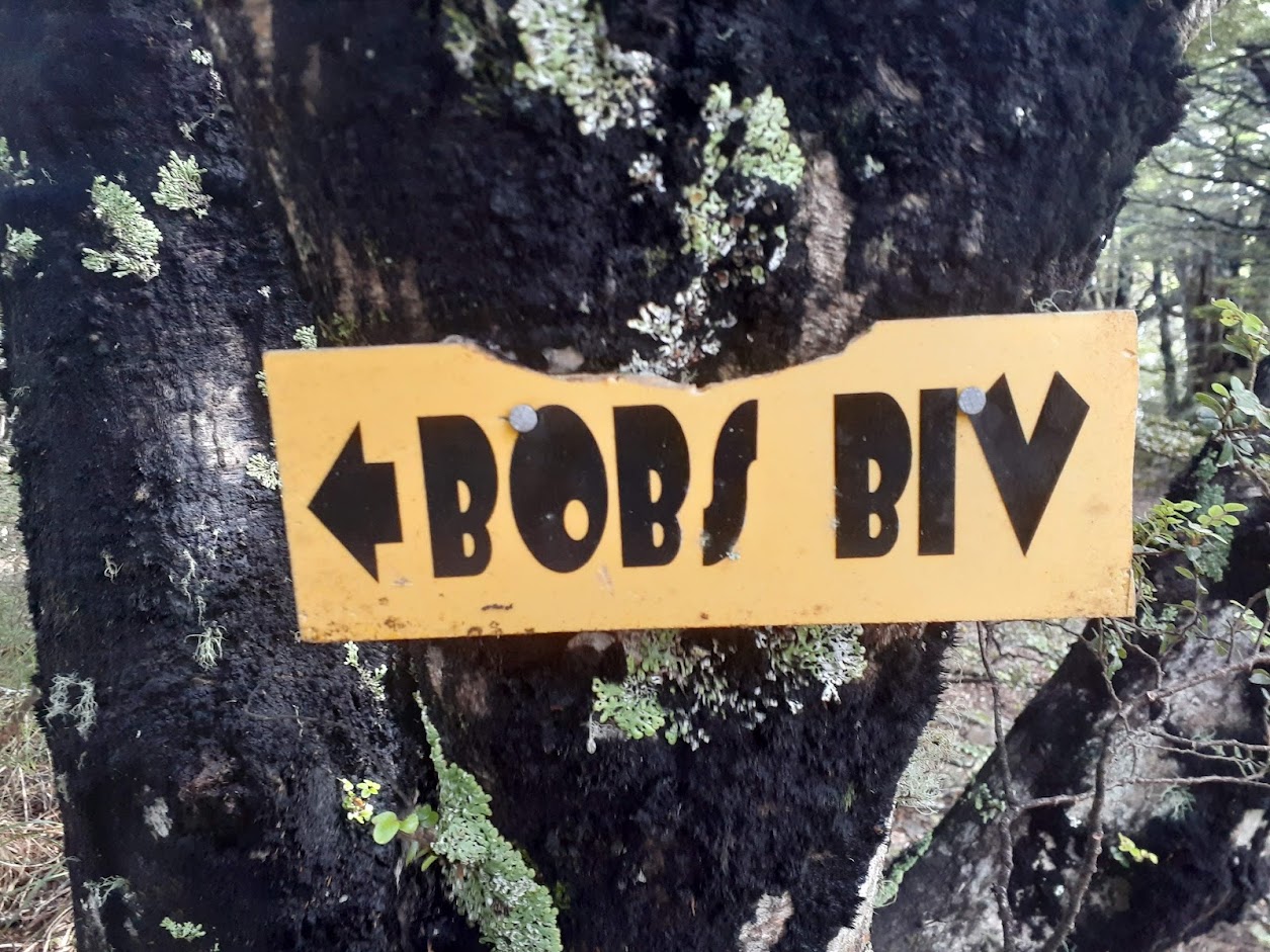
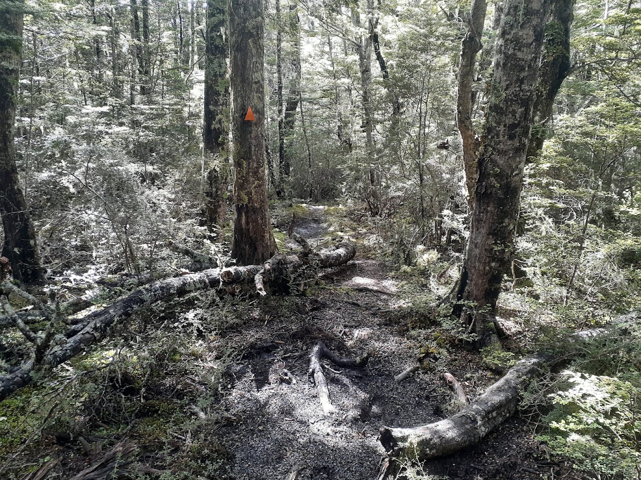
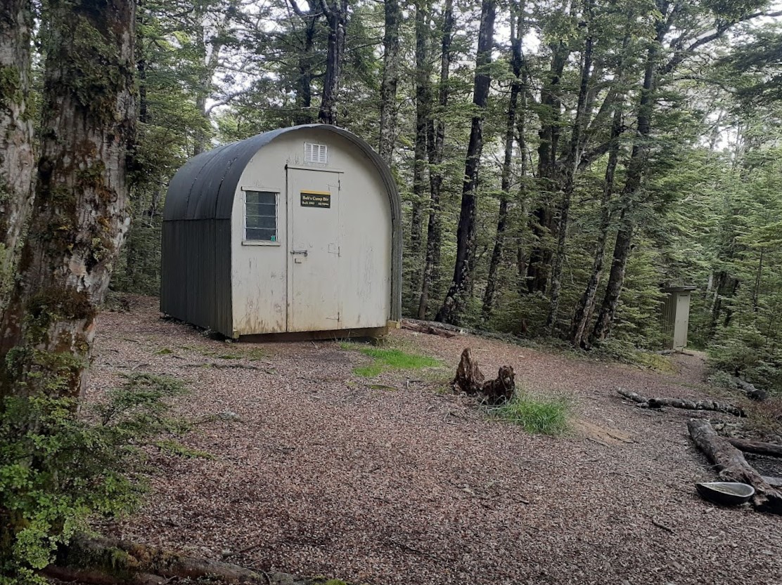
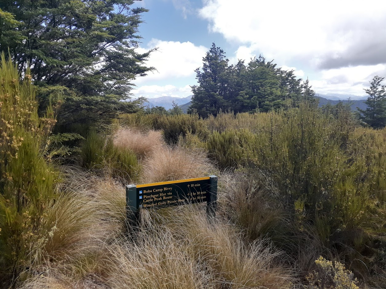
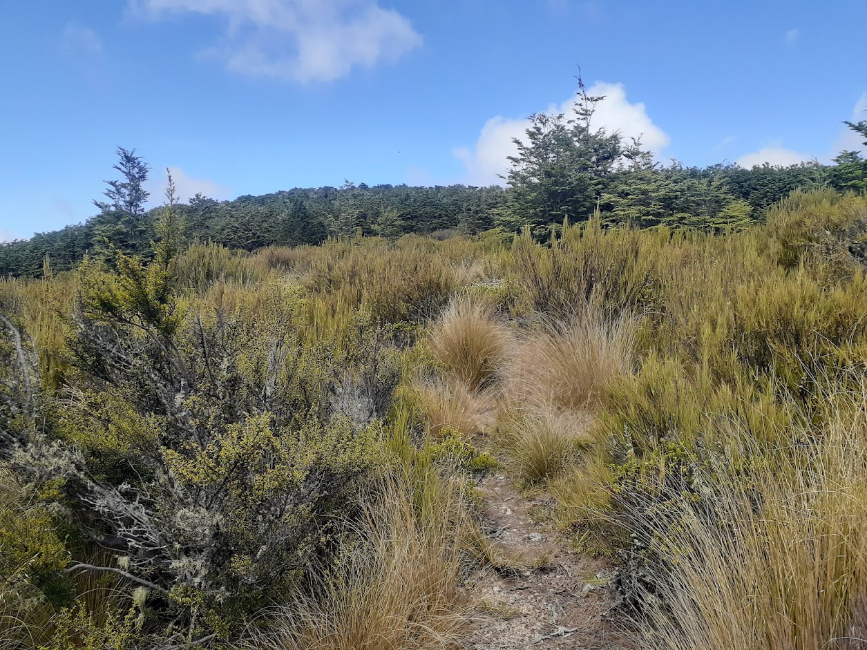
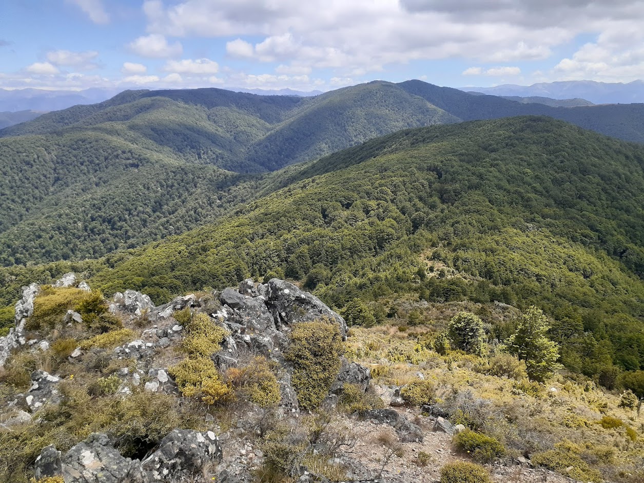
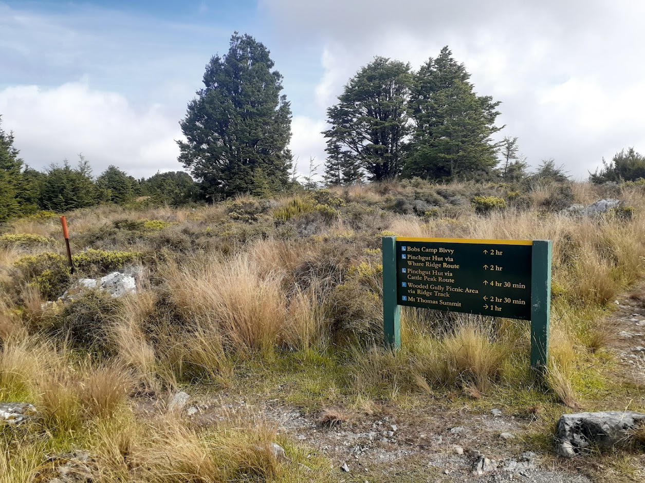
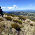
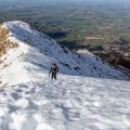
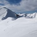
Third time’s lucky. After two unsuccessful attempts (the first time, the weather turned me back; the second time, an exhausted member of my party), I finally reached the biv. I left my car at the car park at Wooded Gully Campsite and headed to the tops via Wooden Gully Track. Once on the tops, it’s a beautiful track along the main ridgeline all the way via pt1043, pt953, and pt1046 to Bob’s Bivouac. It’s all well-marked and easy-going tramping; the only a little bit difficult part is the final descent to the biv from the main ridgeline, which was very muddy and wet. The actual biv is very charming, with some good camping spots nearby, although not very flat. I came back via Ridge Track, which is not as exciting as Wooden Gully Track but is quicker and a bit shorter.
Stats: 19.4 km, 6 h 35 min, 1400 m ascent
Participants: just me this time.
Photos

Map
Max elevation: 1048 m
Min elevation: 288 m
Be the first to comment on "Bob’s Bivouac"