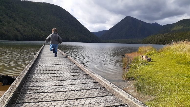
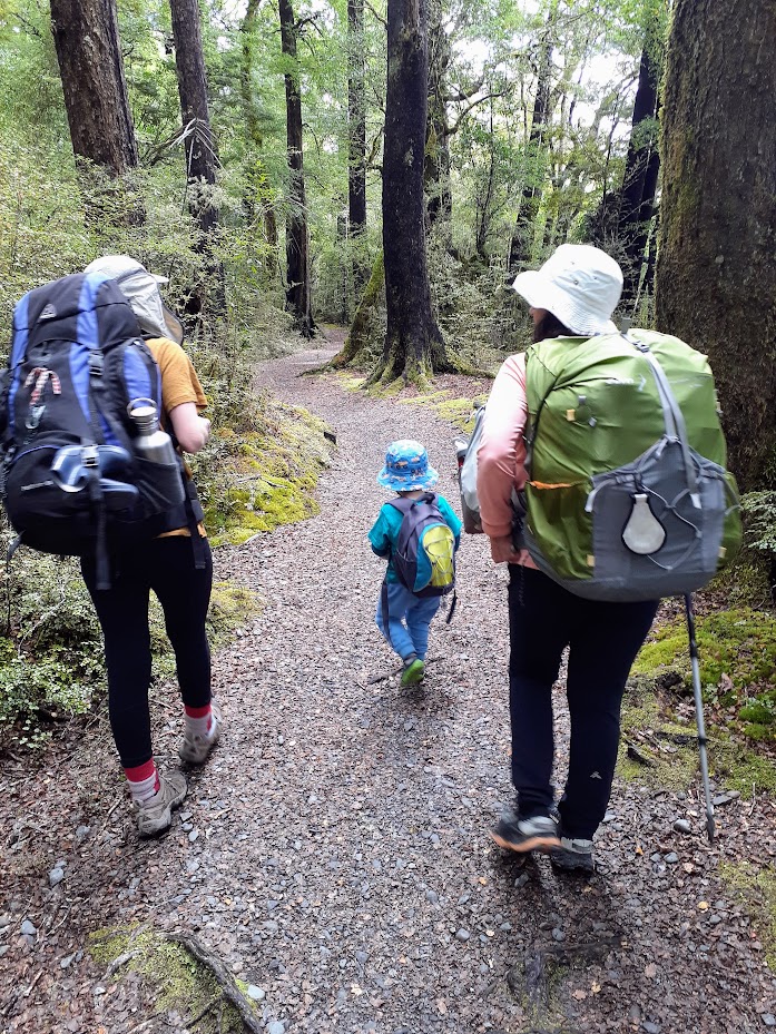
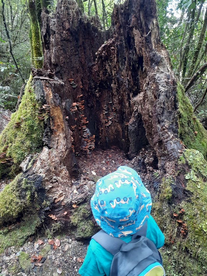
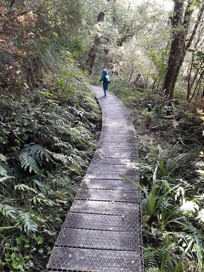
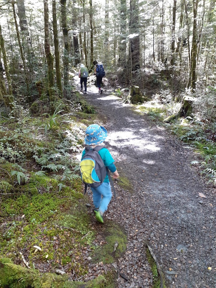
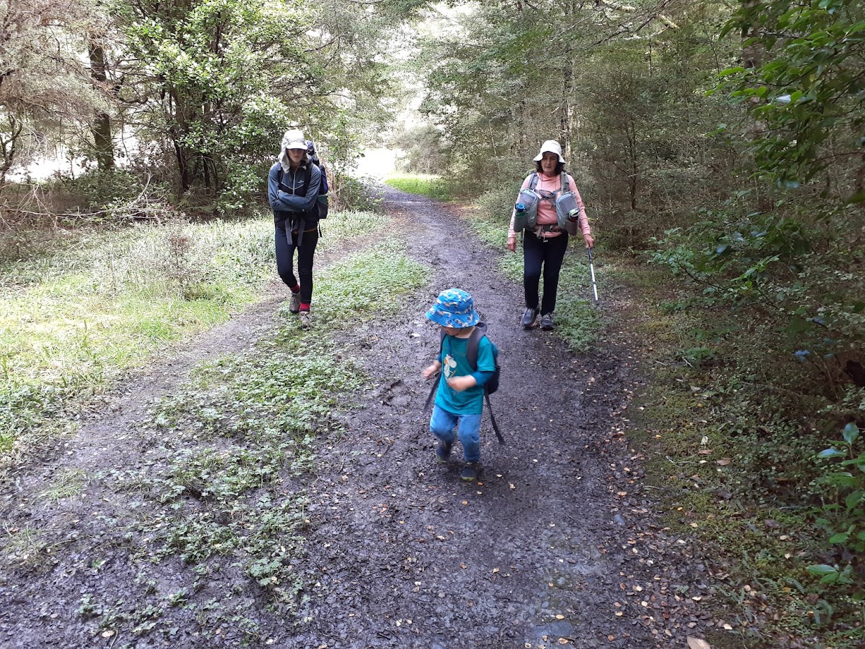
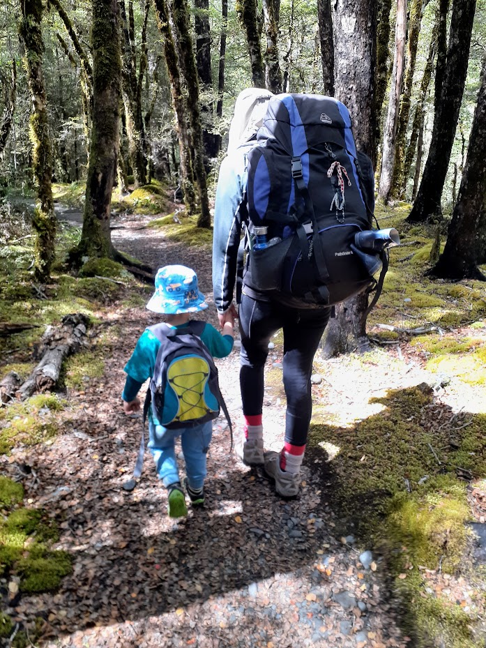
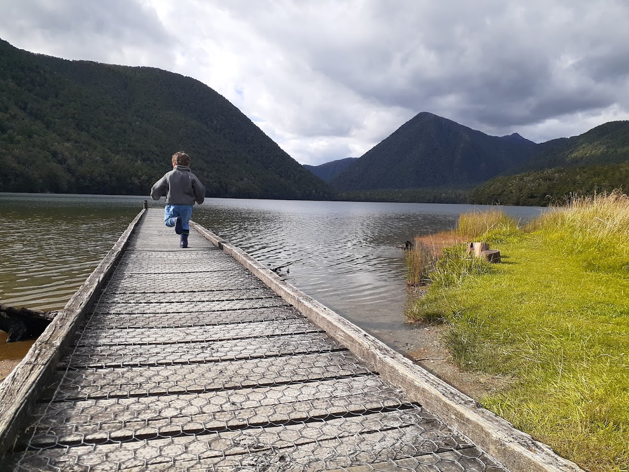
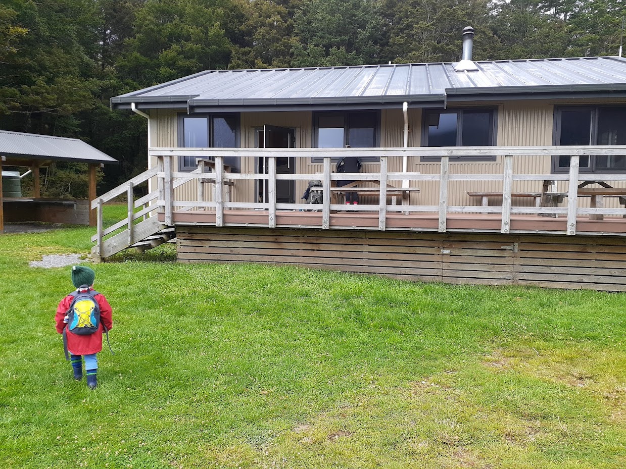
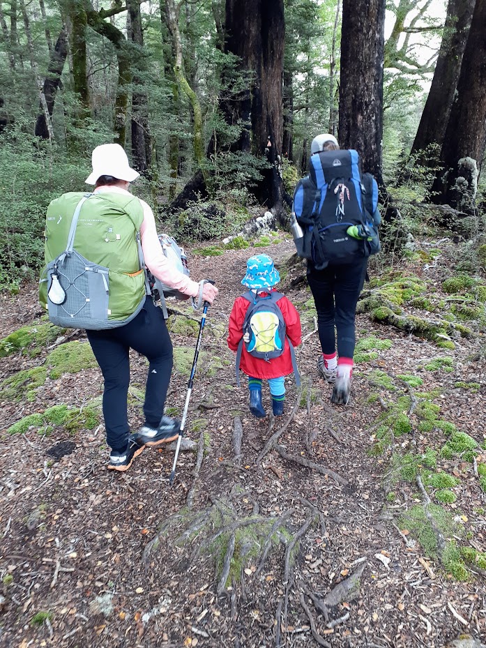
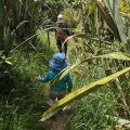
Finally, all the ducks lined up, and my little family took on a challenge: walking to Lake Daniell / Kōhanga Atawhai – Manson Nicholls Hut. It was me, my partner Anna, our 3-year-old son Elliot, and my freshly retired mother-in-law, Gill. It wasn’t much of a challenge for us adults, of course, but it was for our little one. The track isn’t technically difficult, just a bit long for tiny legs. It meanders along the Alfred River on the West Coast side of Lewis Pass. Elliot did pretty well, all things considered. He managed to walk about 5 km before I had to carry him for another 3 km. Games helped a lot—I pretended to be a bear chasing him (which was great fun with a 20 kg backpack as you can imagine), he hid behind trees to scare us, and we had to pretend to be genuinely frightened by his “sudden” appearances. Elliot also loves hanging from branches, so telling him there might be a branch suitable for hanging kept him going for a while too.
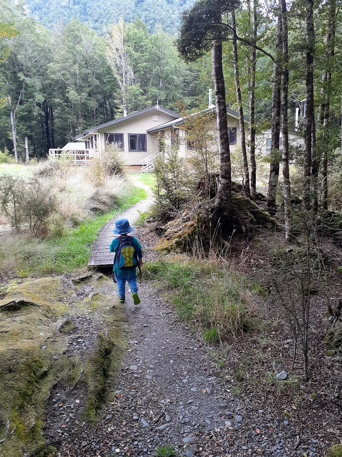
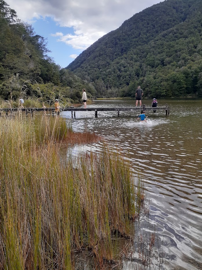
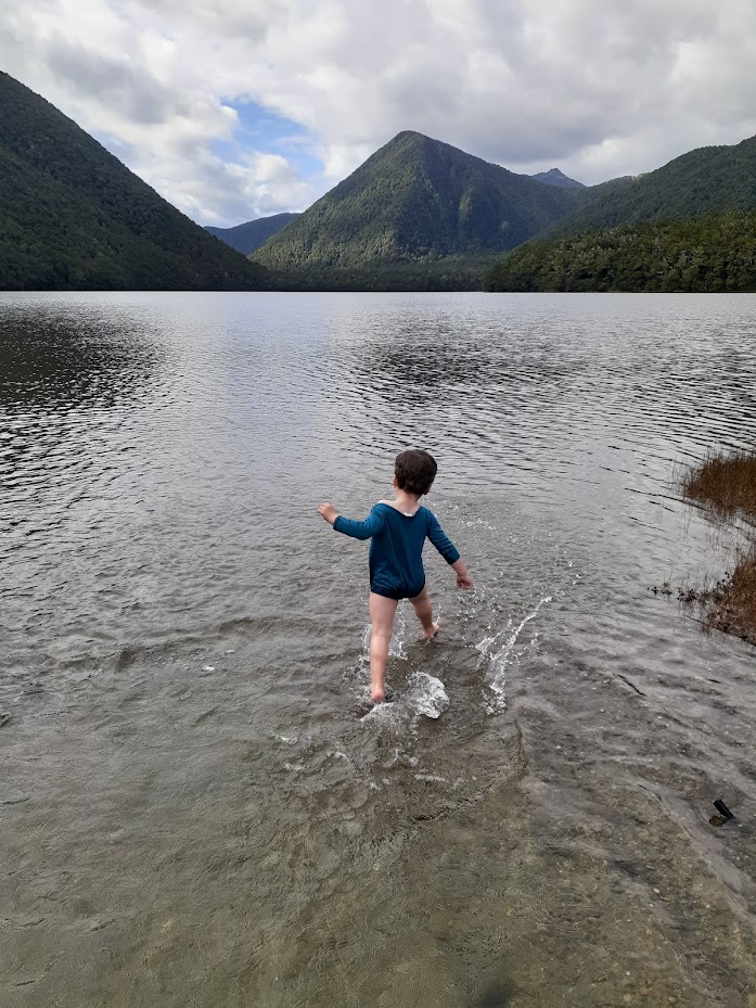
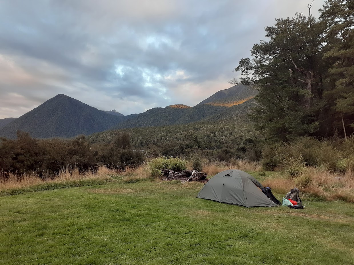
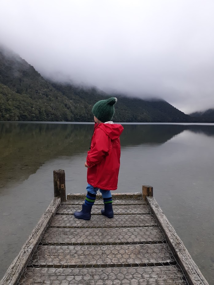
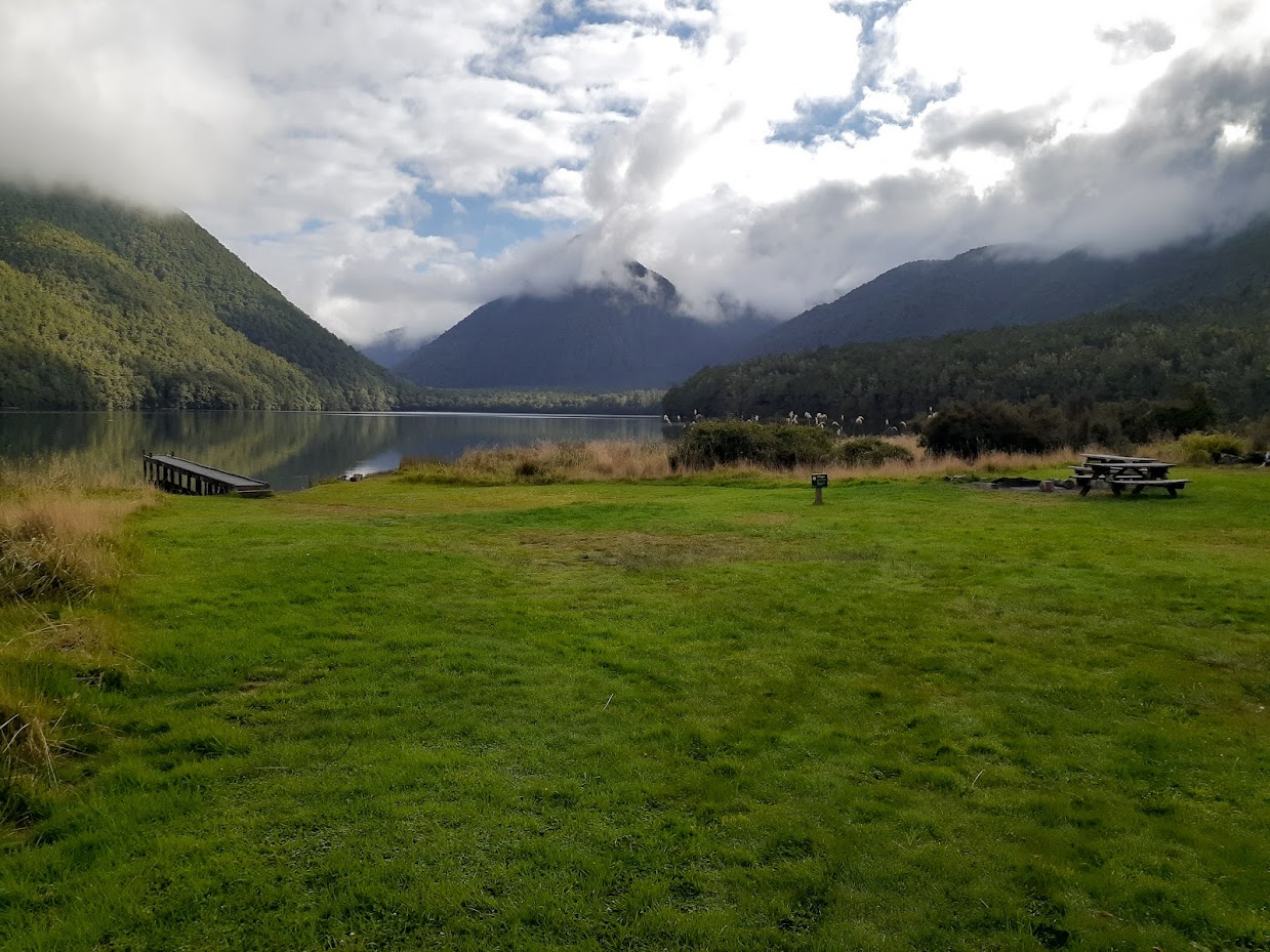
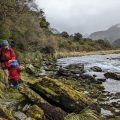
At the hut, there were only a few people. We pitched our tent anyway, but Gill stayed in the hut as she had a booking from us as her belated birthday present. It was a beautiful, memorable evening spent watching Elliot play in the water and observing the eels. Make no mistake—there are eels in Lake Daniells, but that didn’t stop Gill and me from going for a swim.
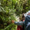
The next day, Elliot was tired, so I ended up carrying him a bit longer than on the first day. In retrospect, letting Elliot chase a frisbee around the hut for most of the morning wasn’t the most successful strategy for getting him to walk, but at least it kept him moving in the sandfly paradise. It was indeed a great tip, and I hope to come back next year with the same crew!
Stats:
IN: 8.2 km, 4 h 40 min, 320 m ascent
OUT: 8.2 km, 3 h 40 min, 180 m ascent
Participants: Michal Klajban (leader, scribe, GPX, photos), Anna, Elliot, Gill
Tramped on 25-26th February 2024.
Photos
Maps
Lake Daniels IN
Max elevation: 562 m
Min elevation: 450 m
Lake Daniels OUT
Max elevation: 576 m
Min elevation: 434 m
Be the first to comment on "Lake Daniell with 3 years old"