Jacob, my old university friend from Brno, Czechia, came over to stay with us in Christchurch for a week, so we went to celebrate it on a tramp. We did Mt. Bruce more than a year ago, but this time we had the luxury of time. Due to an unfavourable weather forecast, we chose Worsley Biv, which we decided to approach via East Hawdon Biv.
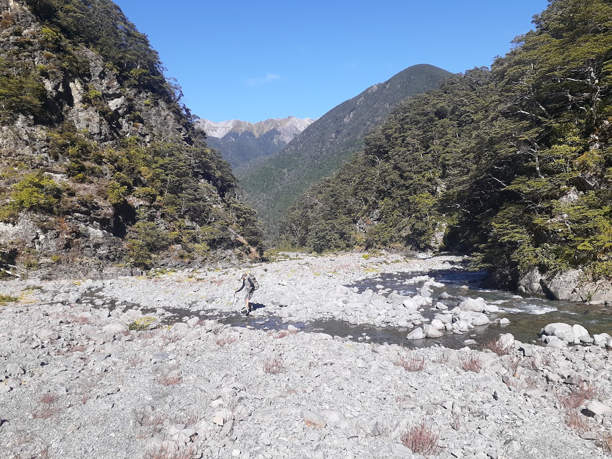
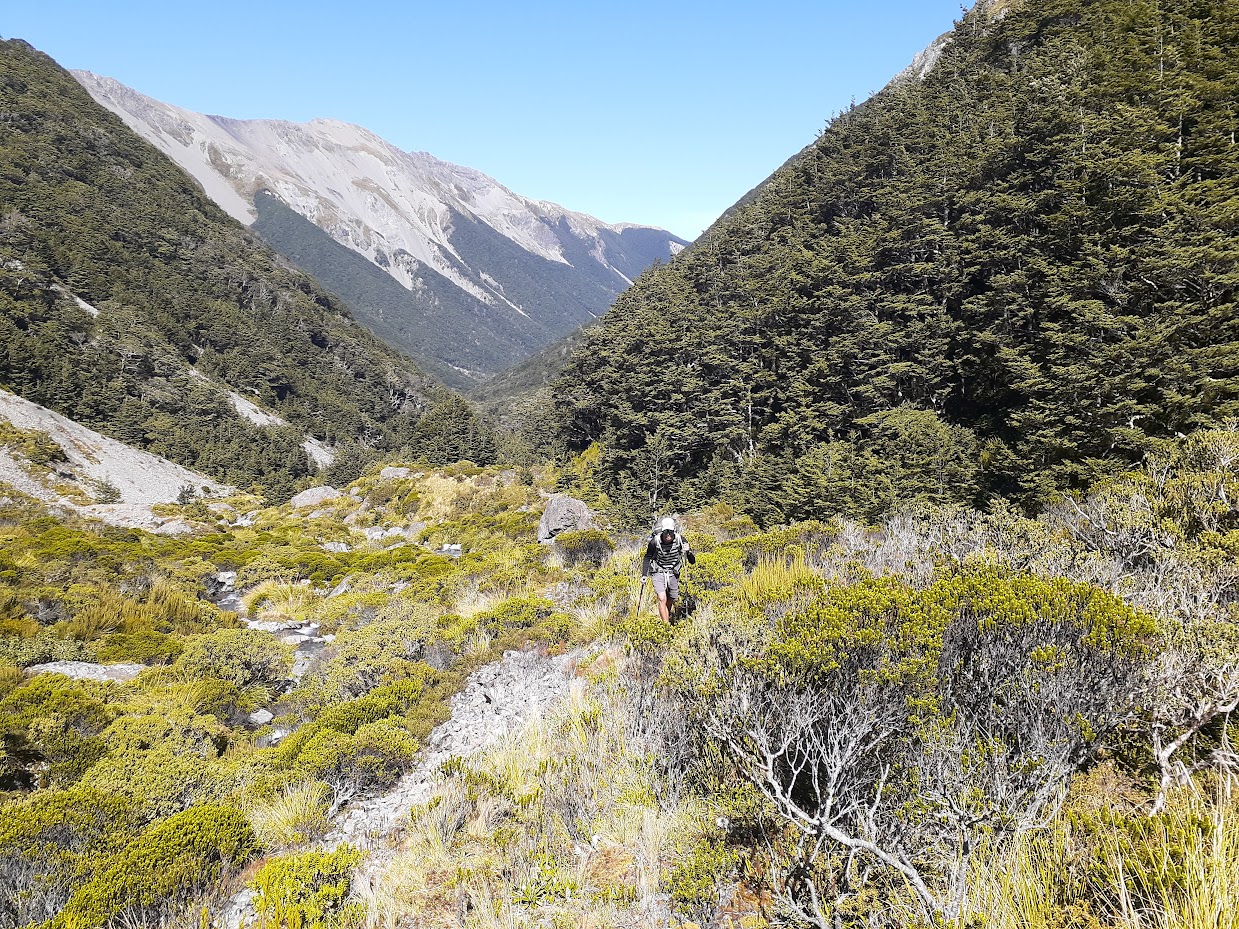
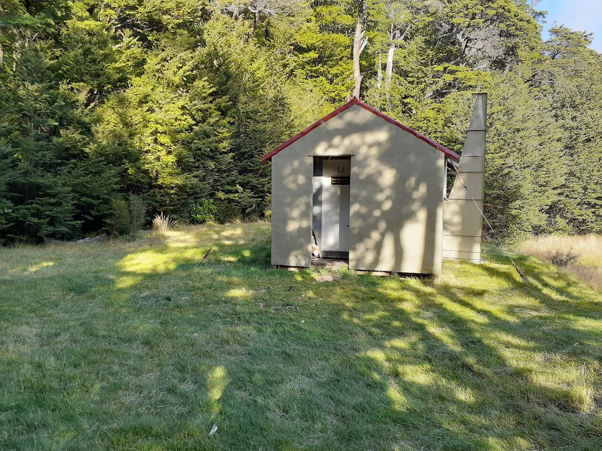
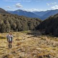
The track to East Hawdon Biv is not too bad. It’s a mixture of riverbed “free for all” travel and short stretches of tracks of various maintenance levels. Sometimes it’s pretty good and obvious; other times it’s overgrown, and you just need to pay attention where to go. But overall, it’s good to follow; just keep an eye out for an occasional cruise tape. We reached East Hawdon Biv in about 3 hours and 30 minutes from Hawdon Shelter. We weren’t rushing or anything, and even took a wee break. East Hawdon Biv is very nice, with not much space for tents due to a lot of scrubby vegetation around.
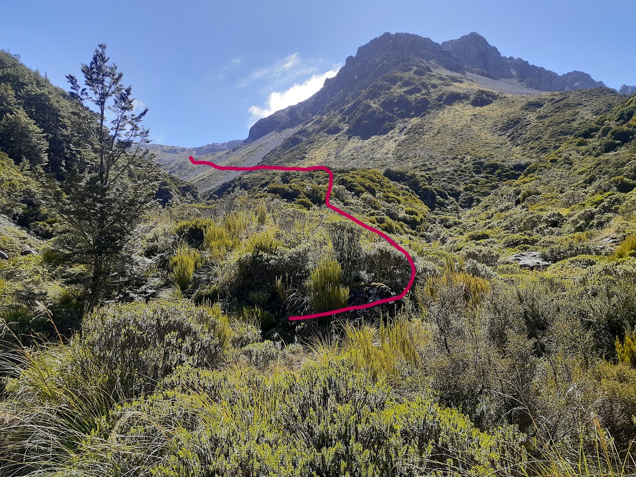
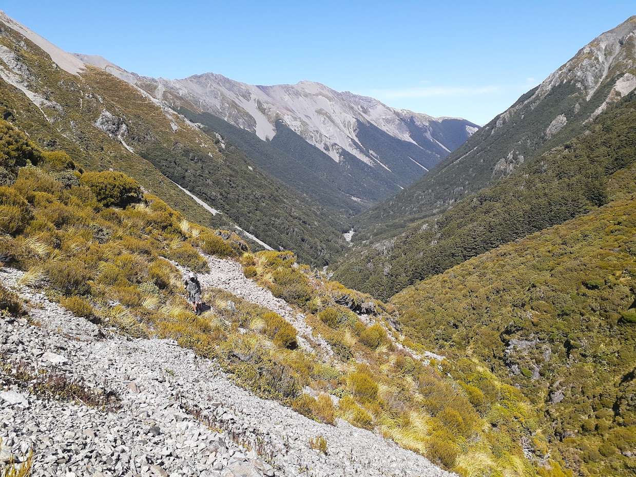
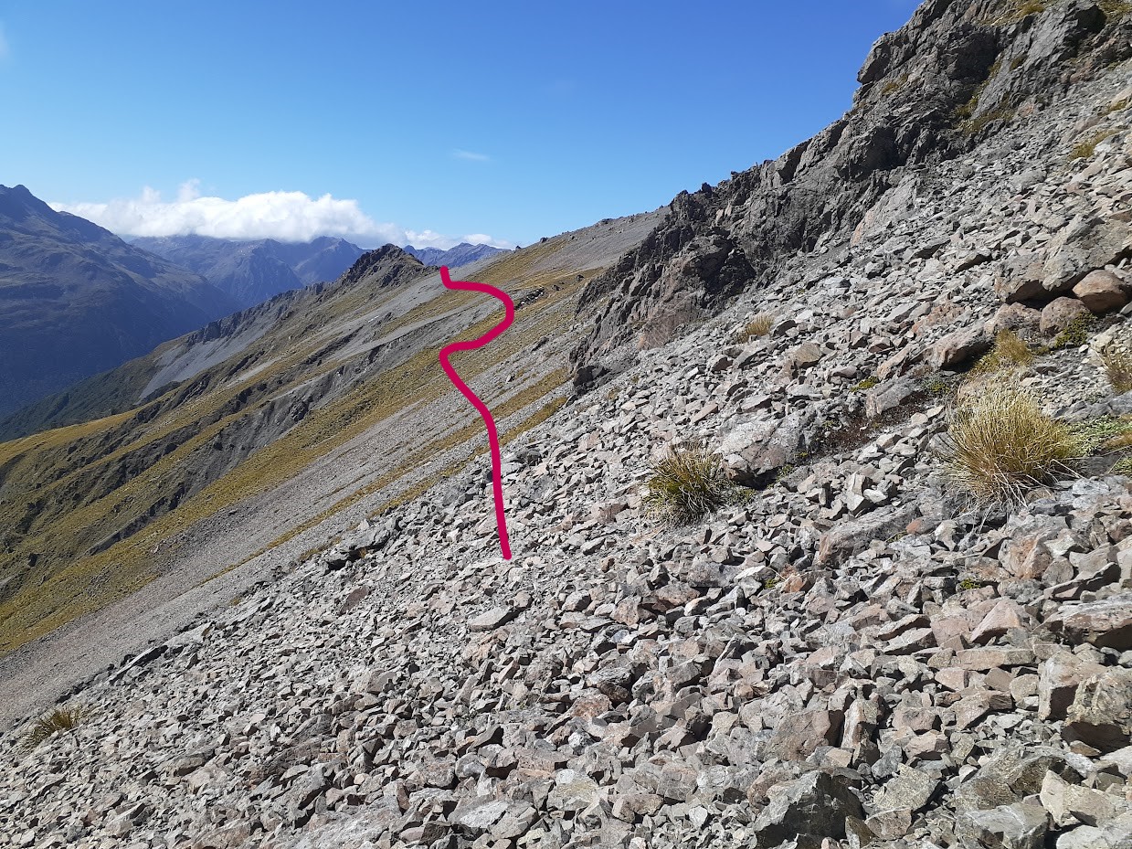
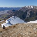
From East Hawdon Biv, the track continues along a spur starting at the confluence of a creek flowing from Smooth Peak and a creek flowing from between Mt. Valiant and point 1732. It’s pretty obvious and marked with an occasional cairn. The track gradually disappears and turns into a mixture of deer tracks and off-track travel. It slides across a few stripes of scrub and scree slopes. The scrubby stripes are quite annoying to get through, but eventually, we reached a series of bluffs and waterfalls, and the only way from there is up on a grassy slope, straight to a plateau sitting SE from point 1684. We continued to the NW and skirted point 1684 from its W side. It’s pretty obvious where to go; it looks like the easiest way up. In the fog, just follow my GPX, as I can imagine it can get tricky very quickly. I wouldn’t try to access the main ridge right away, it looks too steep and crumbly, skirting along pt1684 is easy.
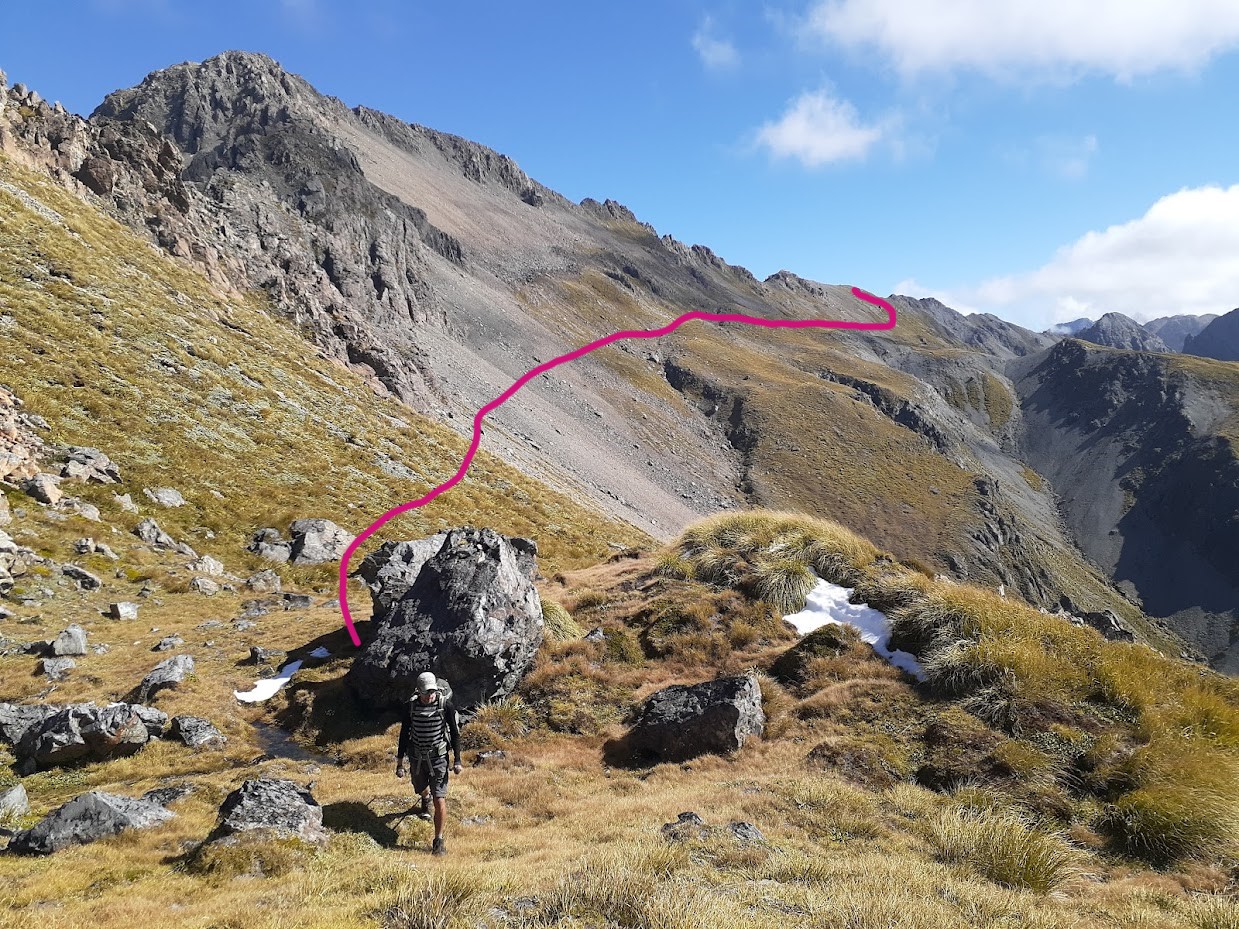
From the main ridge, we dropped to the other side on a massive tussocky bench at around the 1600 contour, which allowed us to skirt the whole Mt. Valiant ridge, which looked quite scary (exposed, steep, and crumbly). The bench led us back to the ridge about 1 km NE from Mt. Valiant. The ridge from there is quite pleasant to follow. In the hut book at Worsley Biv, I’ve read of someone dropping along the scree from point 1494 down to Trudge Stream, but we opted for heading down through the bush N of point 1494. It was actually quite unpleasant, with a lot of hidden bluffs in the bush. We even climbed back up a few times to avoid big drop-offs. It’s not too bad, just keep an eye on your surroundings and constantly check what’s below you before you commit to the next stretch of bush. Once in Trudge Stream, it was just a weekend stroll to Worsley Biv.
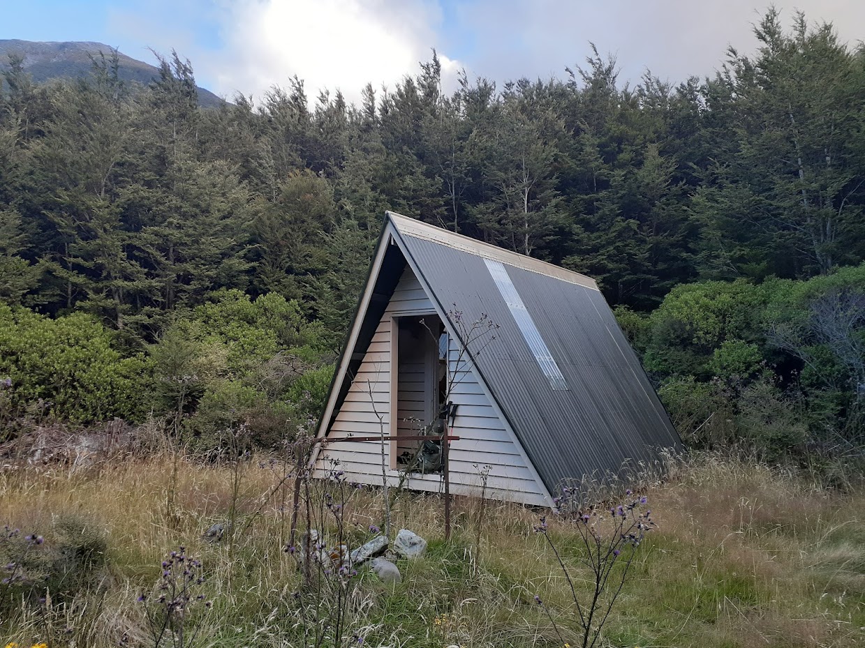
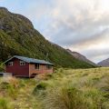
Worsley Biv is very cute. I tend to camp rather than use huts, but this time I gladly accepted a bunk bed in a clean, dry biv. The next morning, we woke up early and headed to Poulter Hut, from where we stayed on the track to Casey Hut and Andrews Shelter. We had to walk out early because Jacob managed to lose his car key, so we wanted to allow enough time to sort it out. After trying to get into the car with a fence wire and sticks, we accepted defeat, called AA, and went to get some sleep in the CTC club hut. AA guy came over the next morning, got into the car in 10 minutes, and off we went to get a Sheffield pie.
Rough stats:
Hawdon Shelter – East Hawdon Biv – Worsley Biv – See NZ Topo Map
25 km, 9h 30min, 1800 m ascent
Worsley Biv – Poulter Hut – Trust / Poulter Hut – Casey Saddle – Andrews Shelter – Hawdon Shelter – See NZ Topo Map
31 km, 9h 50min, 770 m ascent
Participants: Michal Klajban, Jakub Frys
Tramped on 8-9th March 2024.
Photos
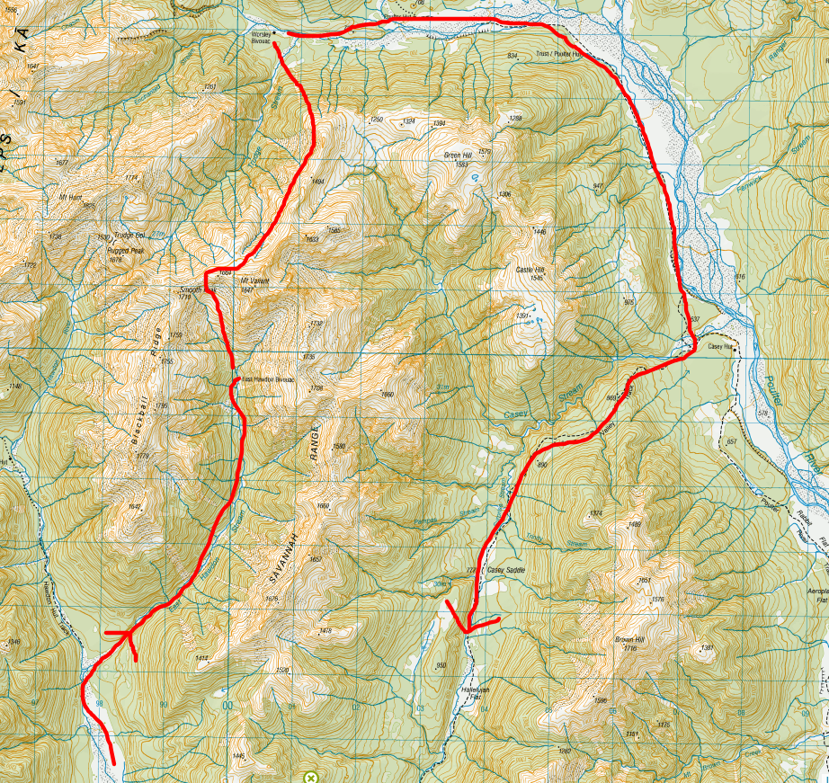
Route taken (more or less, refer to my GPX) 
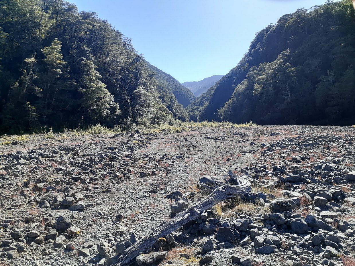
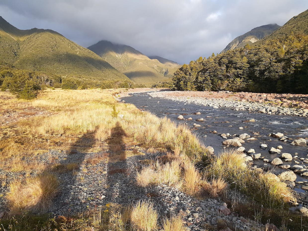
East Hawdon Stream 
East Hawdon Stream 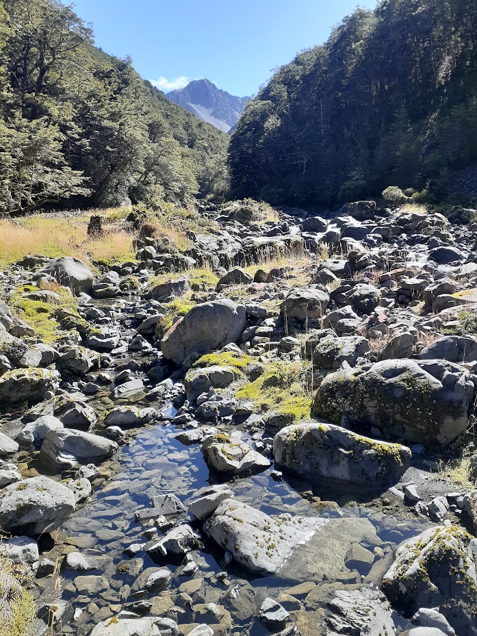
East Hawdon Stream 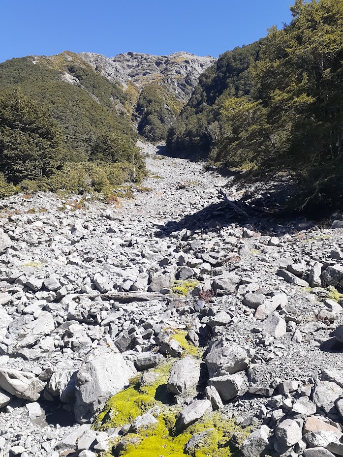
Blackball Ridge scree 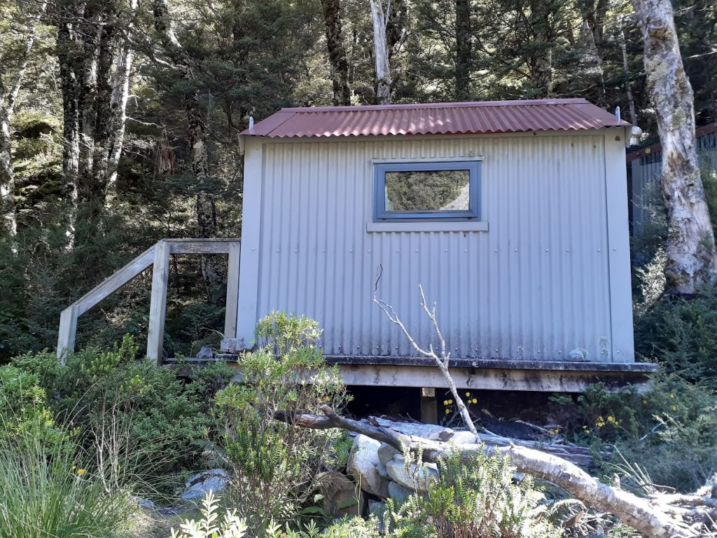
East Hawdon Biv 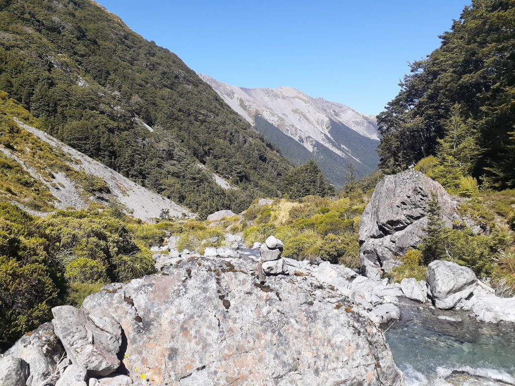
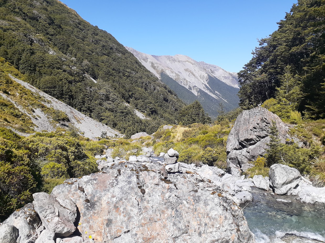
Creek’s confluence from which a route to Mt Valiant starts 
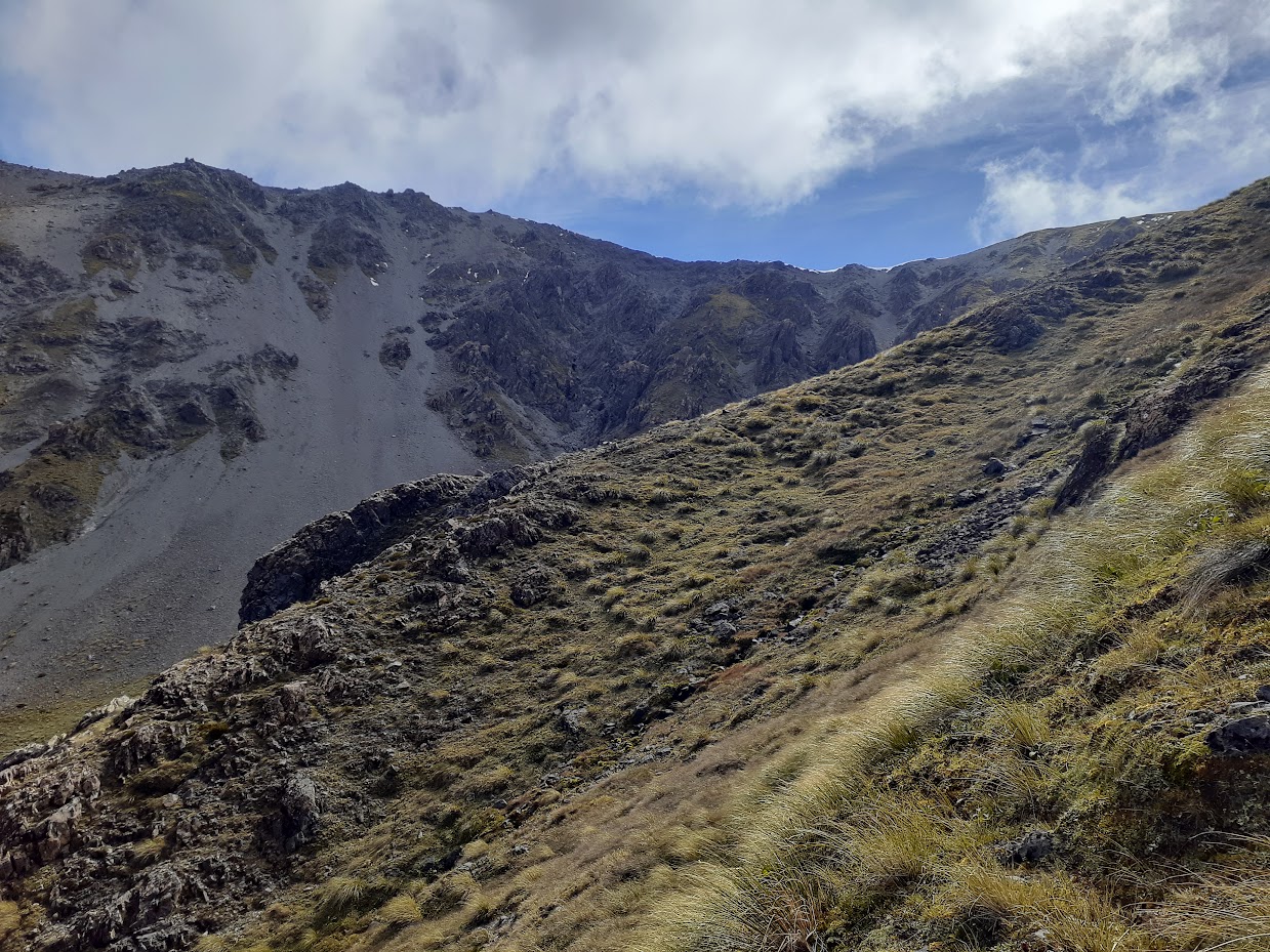
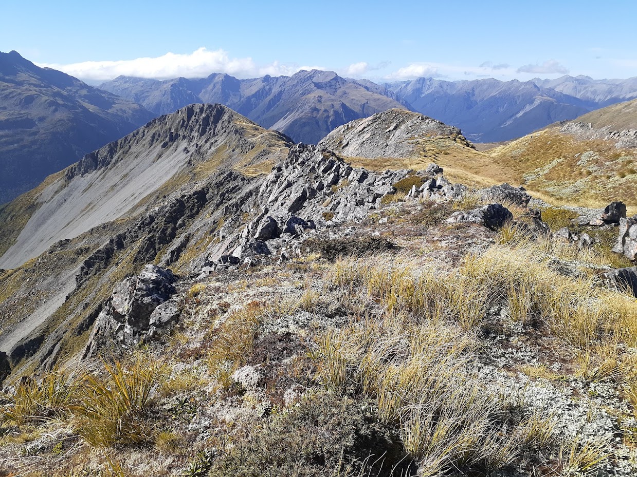
Beta for Mt Valiant approach 

Approaching Mt Valiant – view to East Hawdon Valley 
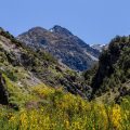
Smooth ridges of Smooth Peak 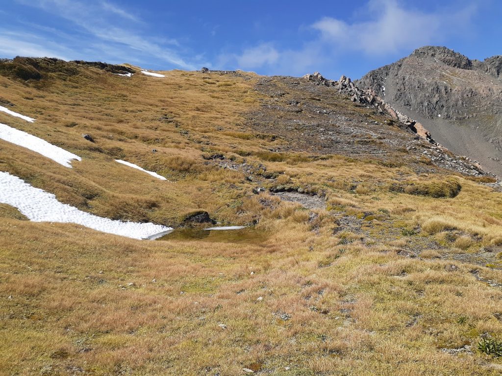
Ridges along the tops can be smooth actually 
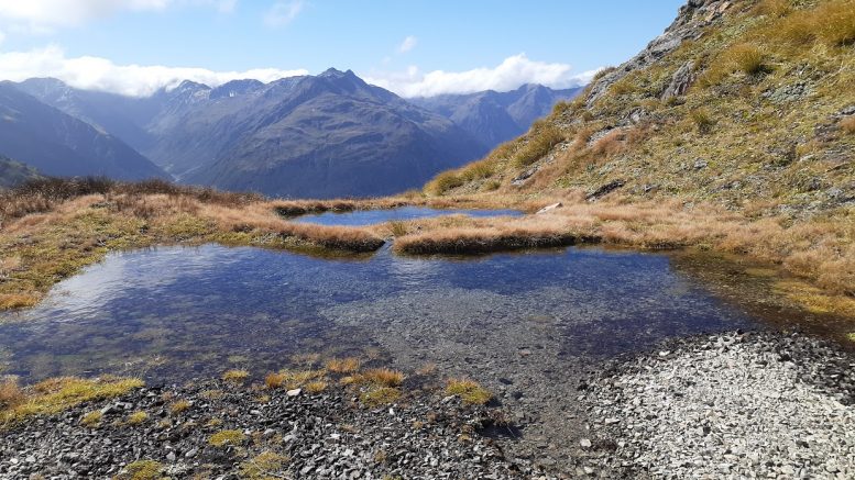
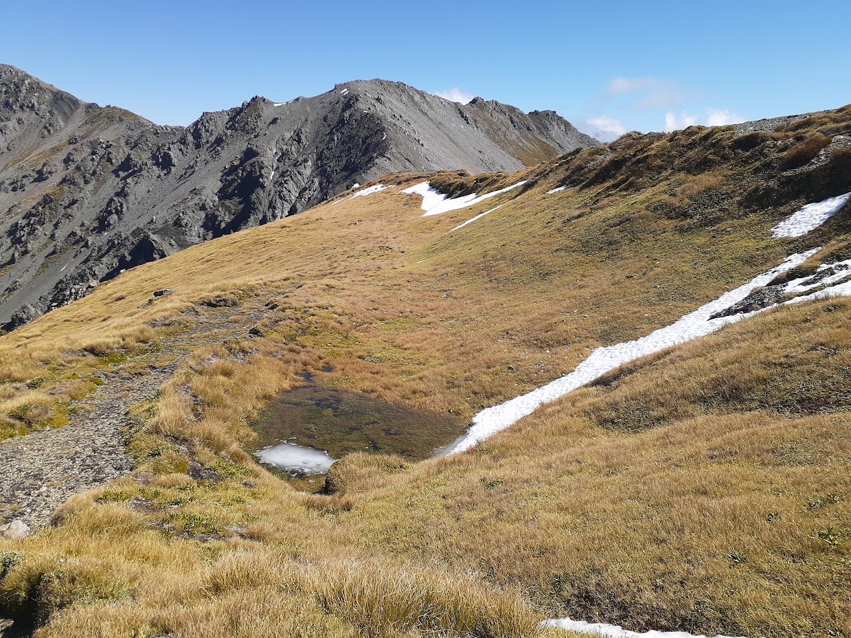
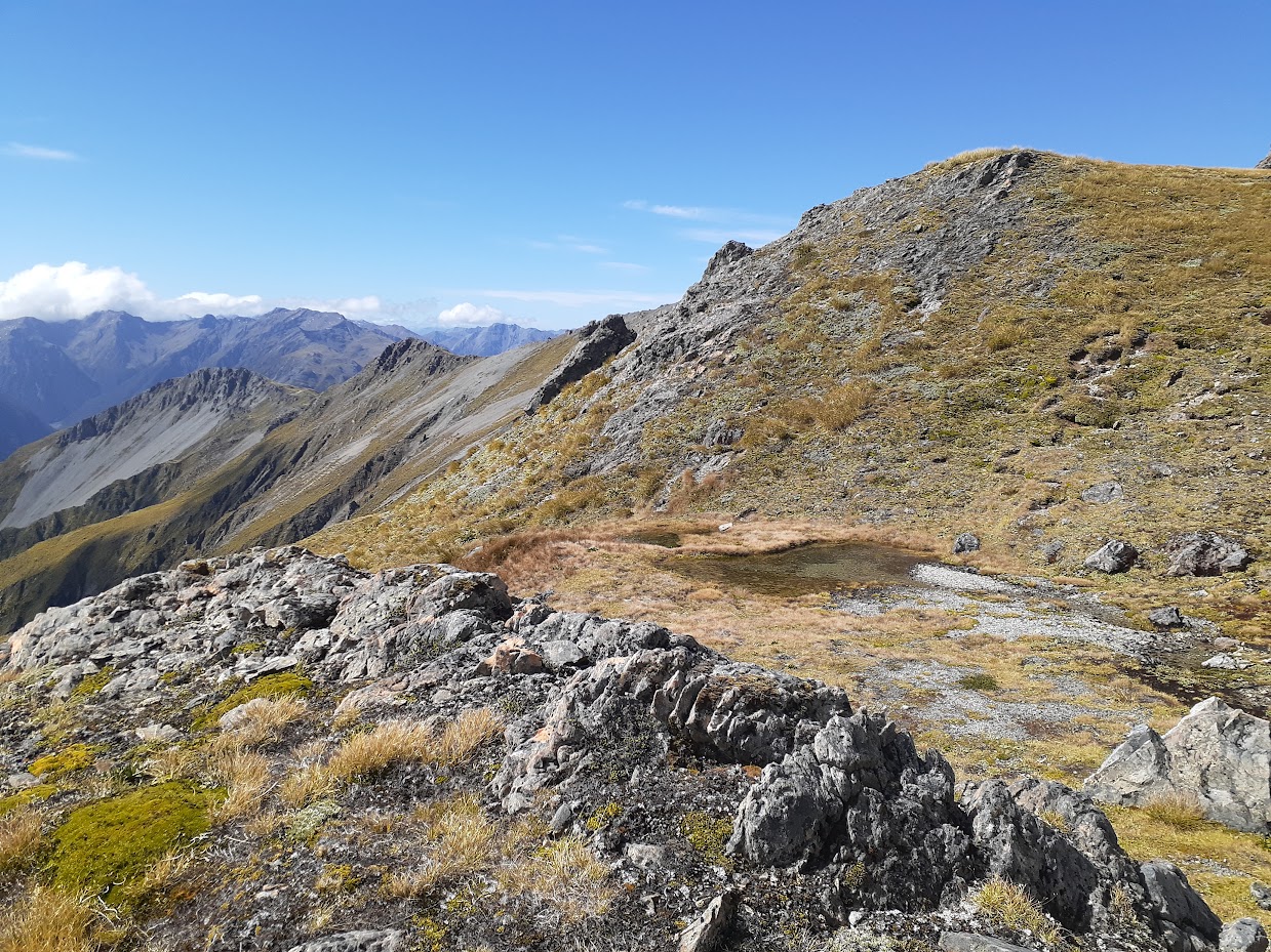
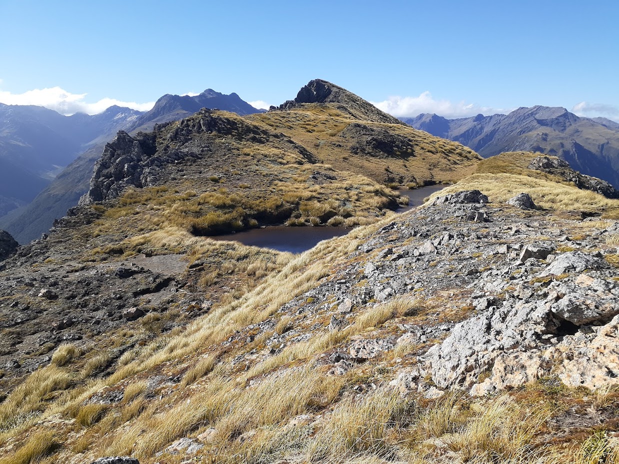
There is a few tarns along the tops 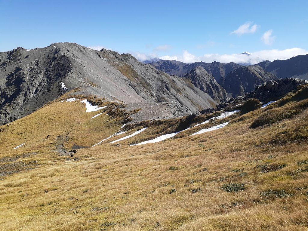
Perfect camping spot, isn’t it? It’s right when you come on the ridge next to pt1684 
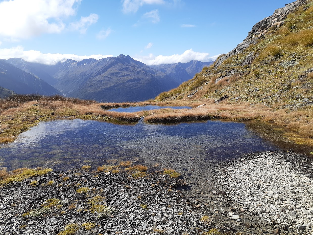
More tarns along on the benches below Mt Valiant 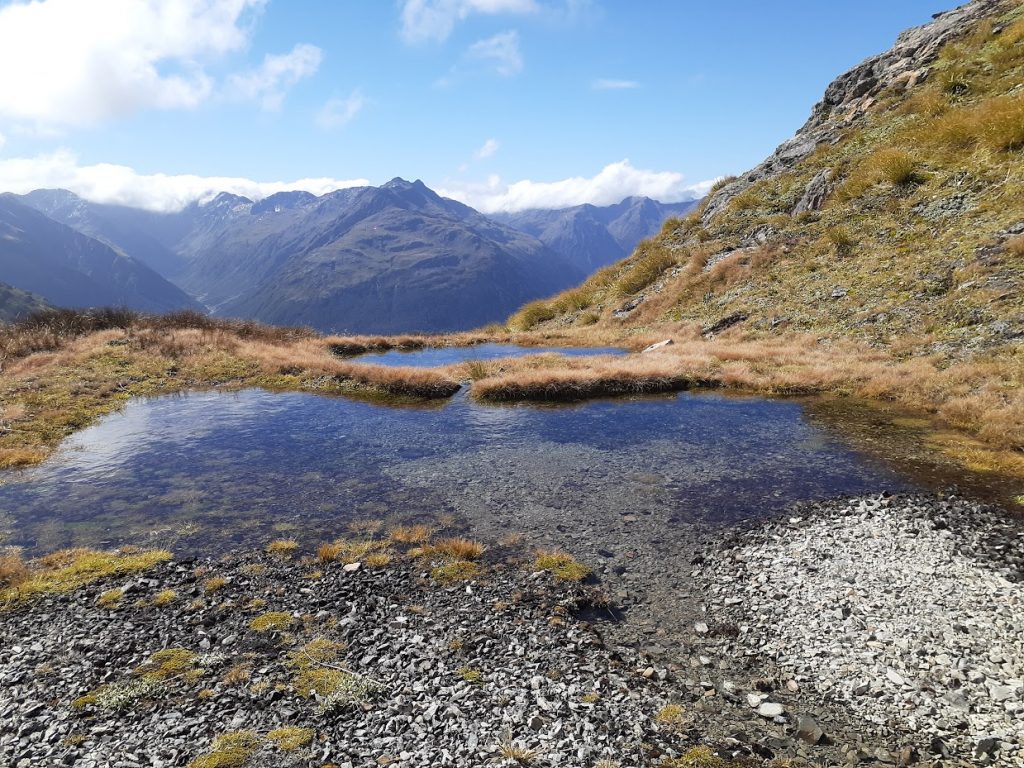
Decent sized tarn with running water – see NZ Topo map, there are 2 creeks N of Mt Valiant 
Beta of sliding around Mt Valiant 
Beta of sliding around Mt Valiant 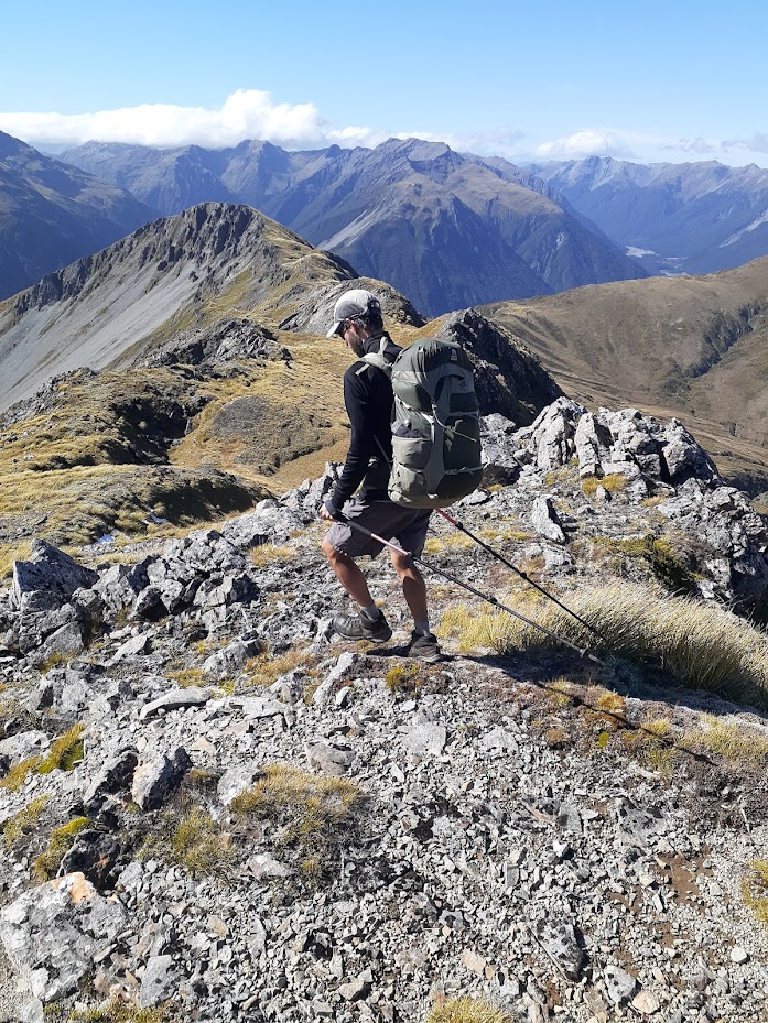
Frysak along the tops 
Tops 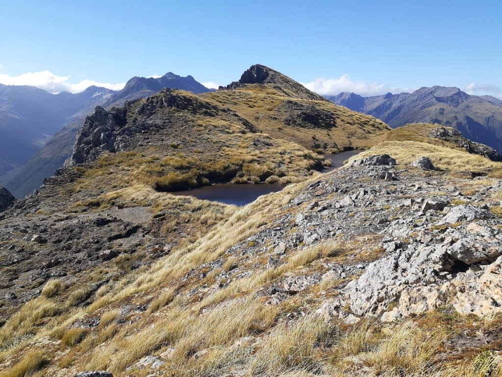
Tops – more tarns! 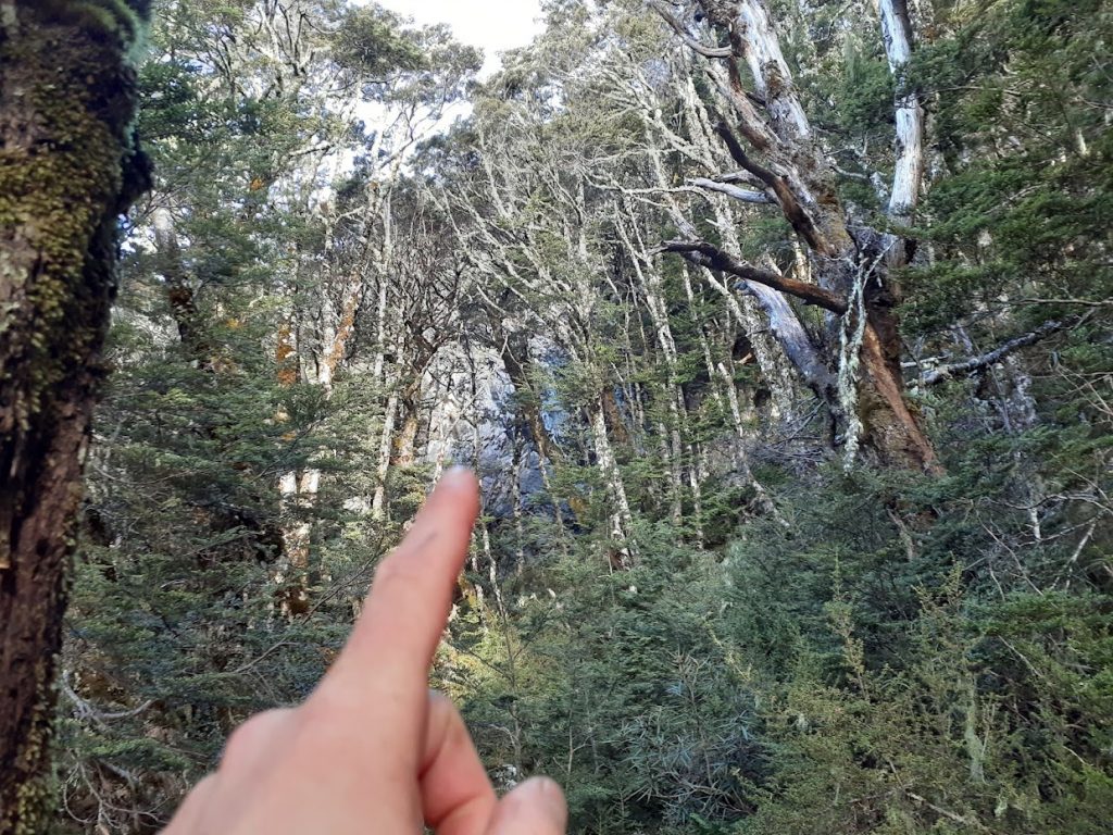
In the bush, bluffs like this one are waiting for you 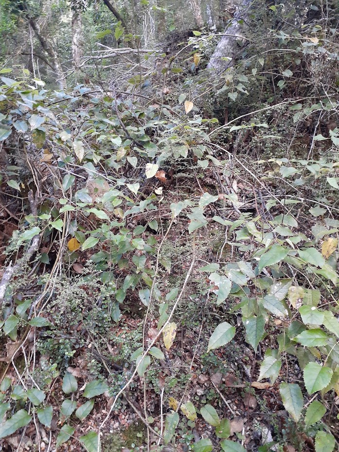
…together with old friend – bush lawyer! 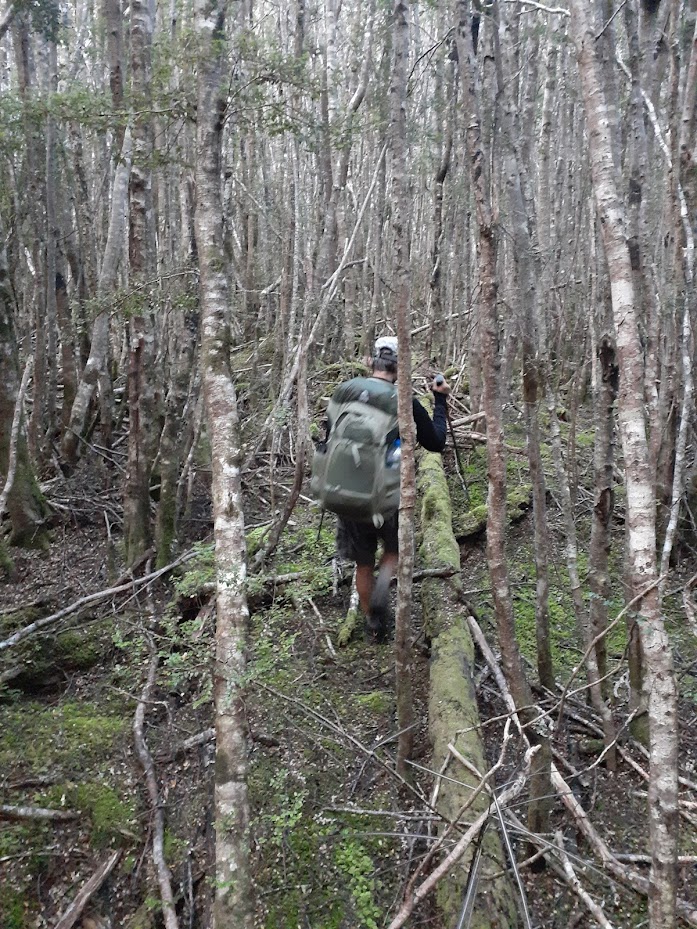
Close to Trudge Stream the forest finally opens up 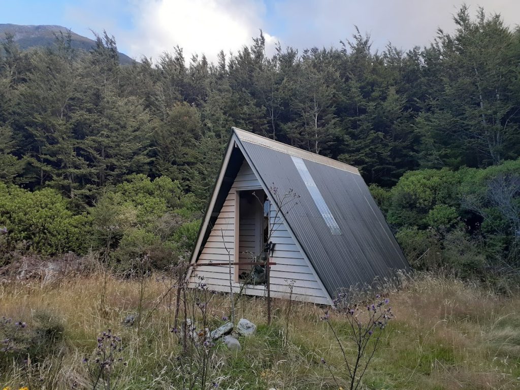
Worsley Biv 
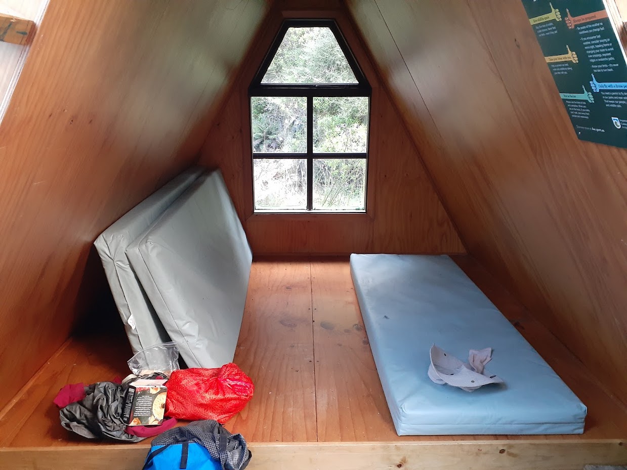
Inside of Worsley Biv 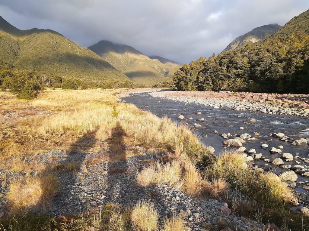
Morning at Poulter River 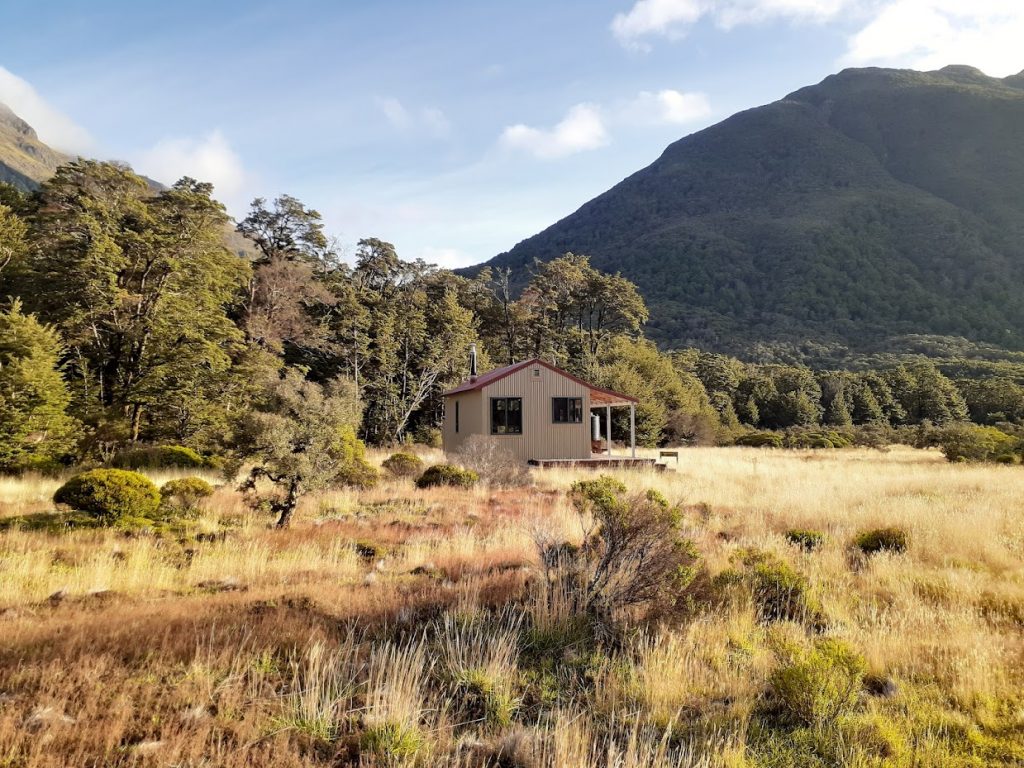
Poulter hut 
Trust – Poulter hut 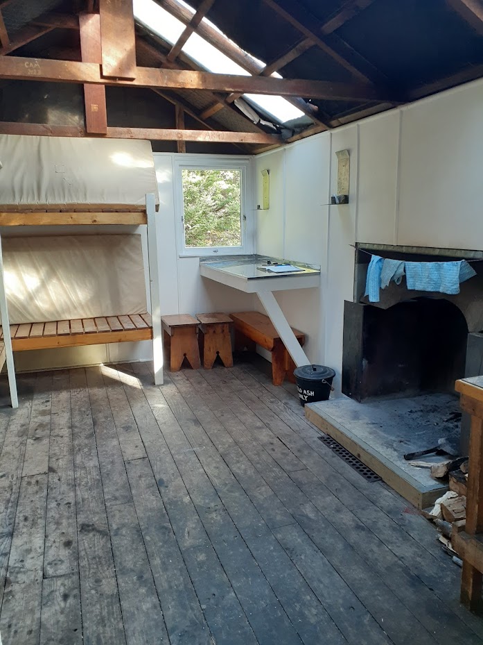
Trust – Poulter hut 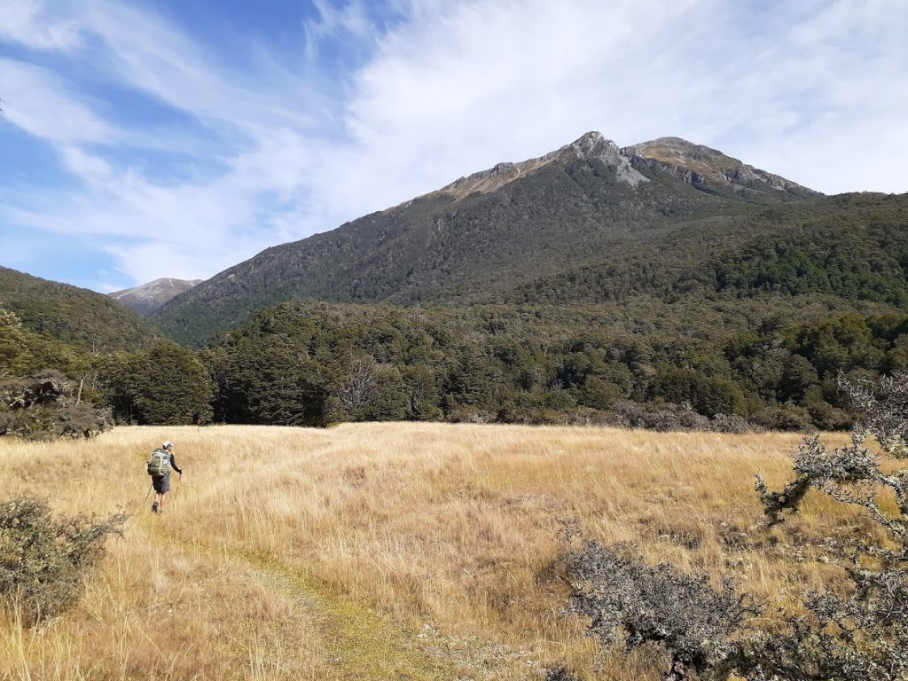
Heading towards Casey Saddle 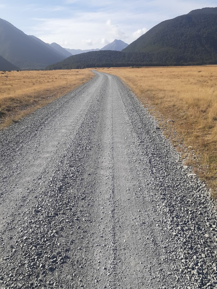
The last stretch of the weekend was on a gravel


Maps
Max elevation: 1668 m
Min elevation: 570 m
Max elevation: 880 m
Min elevation: 515 m
Be the first to comment on "Worsley Biv from East Hawdon Biv (over Mt Valiant, Savannah Range)"