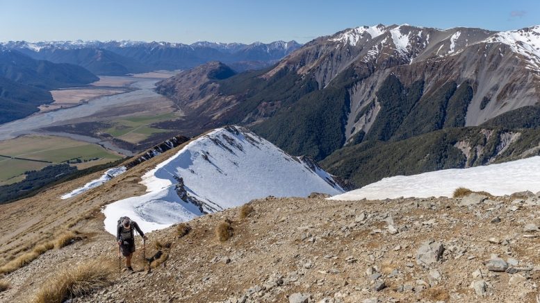
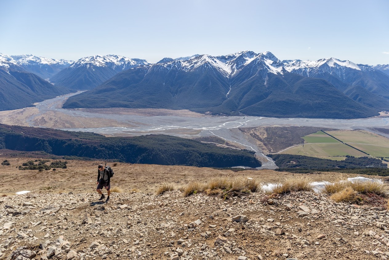
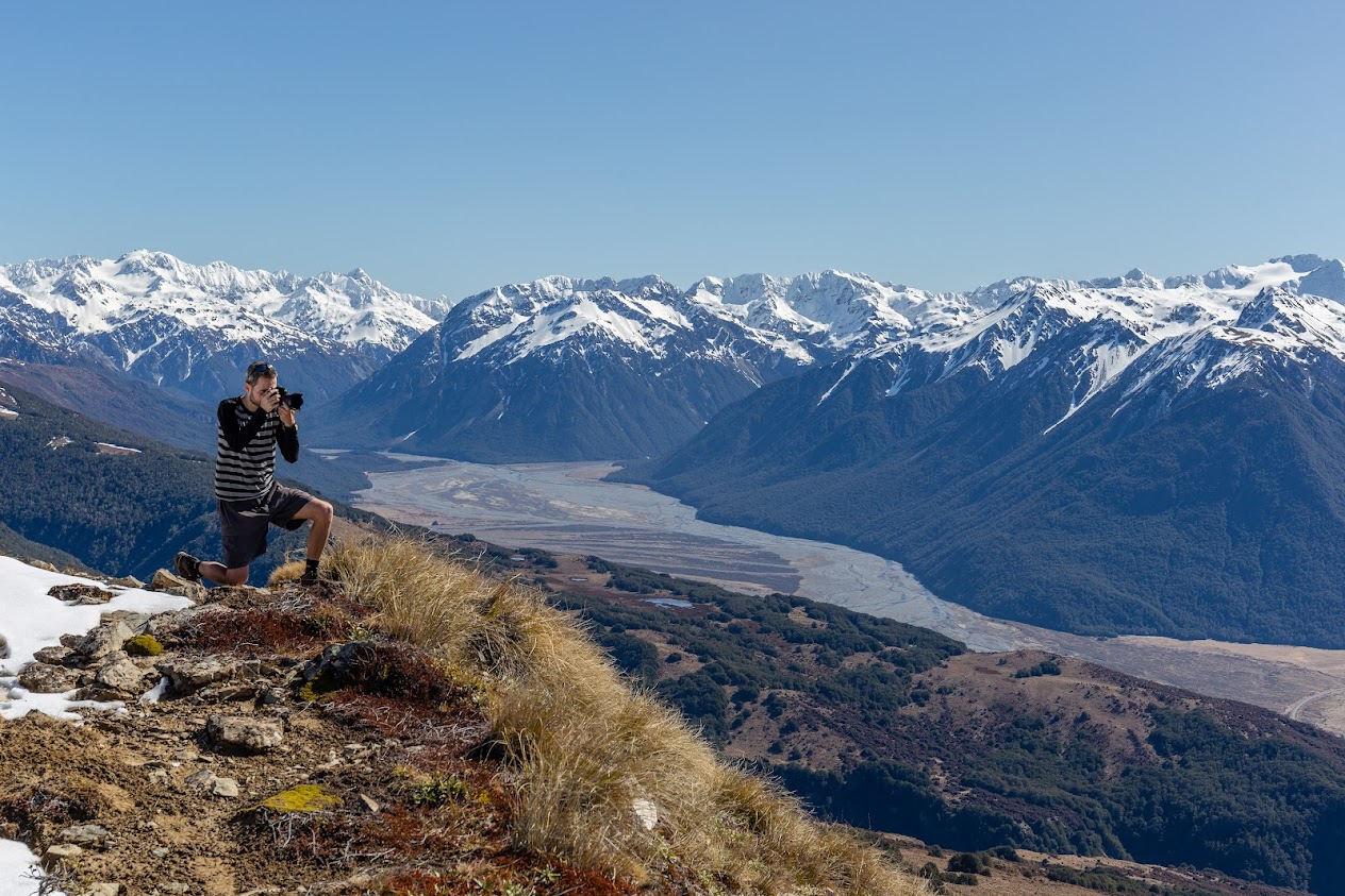
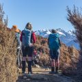
My friend Frysak came to visit Aotearoa for a year. My son, partner, and I were hosting him in Christchurch during his first week and soon I thought it was about time to take him on a tramp. So off we went up to Mt Bruce on which top I’ve actually never stood on before.
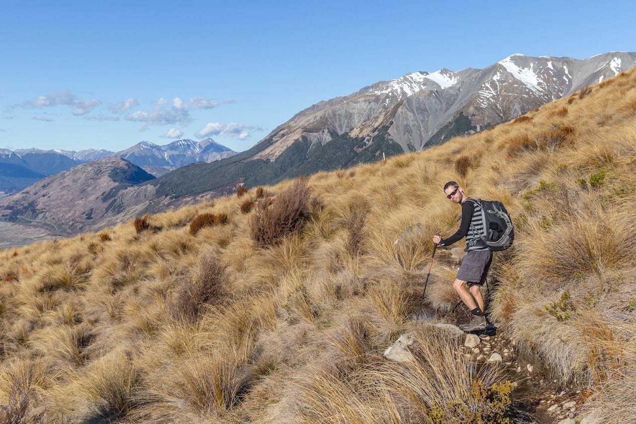
- From the Wilderness Lodge carpark, we followed Cass Lagoon Track. When we felt like it, we bombed up to the tussocky slope. It doesn’t really matter at which point to go up, the whole northern slope looks more or less the same. To avoid somewhat hard-going tussock, it’d make sense to go up from the highest point of the track just before Lagoon Saddle (around 1250m). We weren’t this patient and climbed up somewhere from 1170, not far behind the pine forest.
- Going up was okay, just annoying slippery tussocks. I can see how this slope gets insanely hot in the summer, it was super hot at the beginning of September with snow still present on the tops!
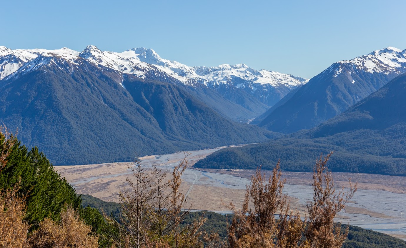
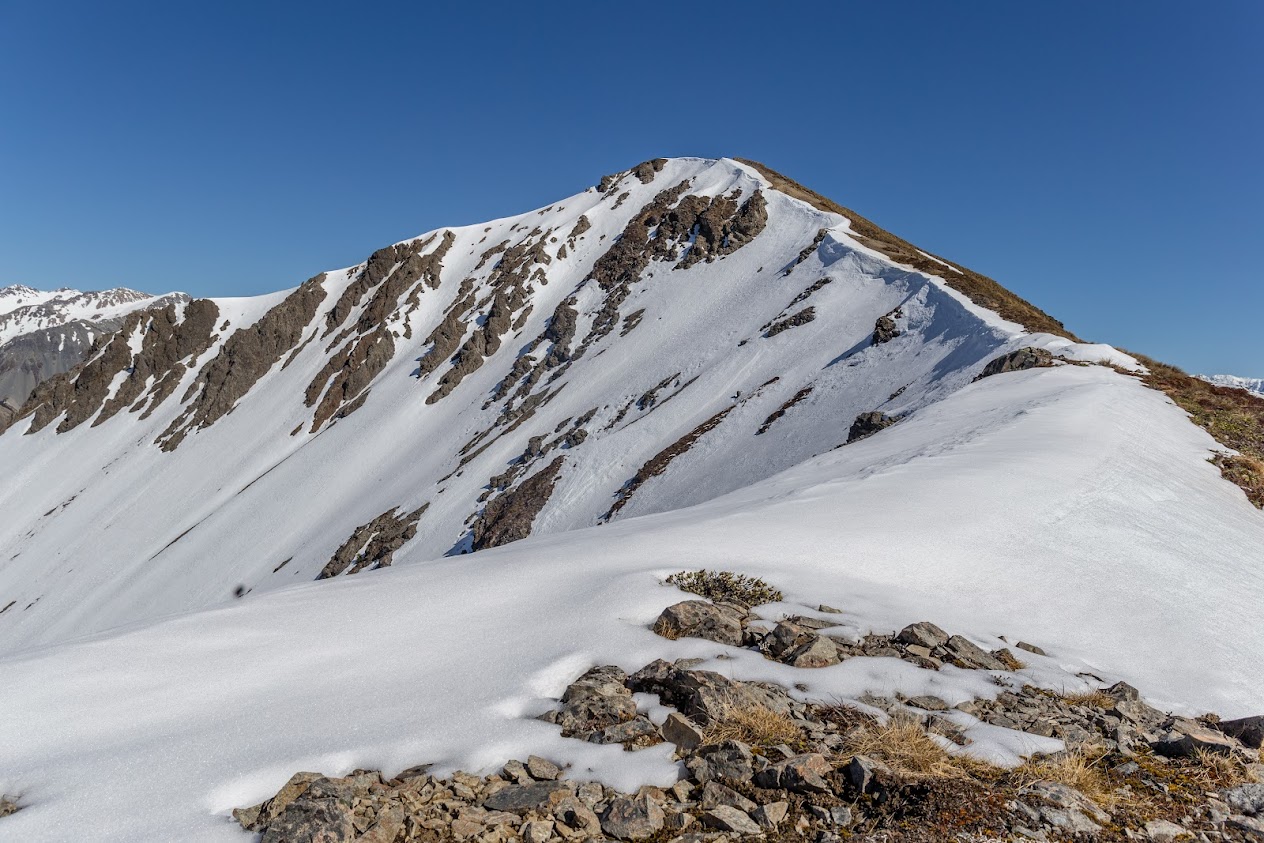
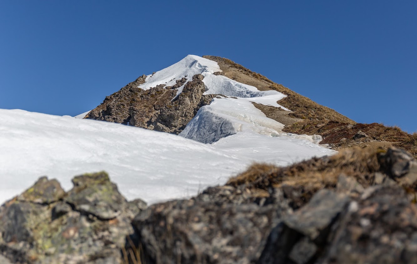
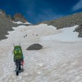
- We reached the top fairly quickly. The plan was to walk out via Broad Stream, however, snow on the southern slopes of Mt Bruce prevented us from doing so. Frysak didn’t have snow gear so I didn’t take any either as I thought it should be OK. Oh well, it wasn’t. A steep snow field with an icy crust on top is not exactly what you want to cross in trainers.
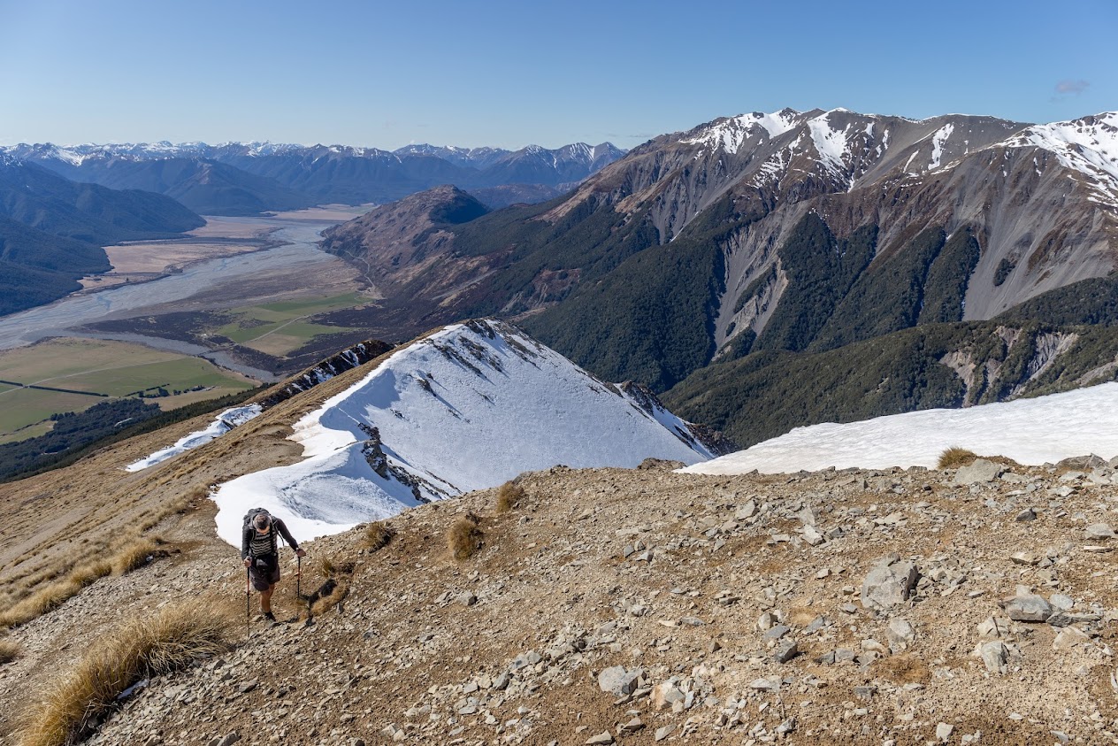
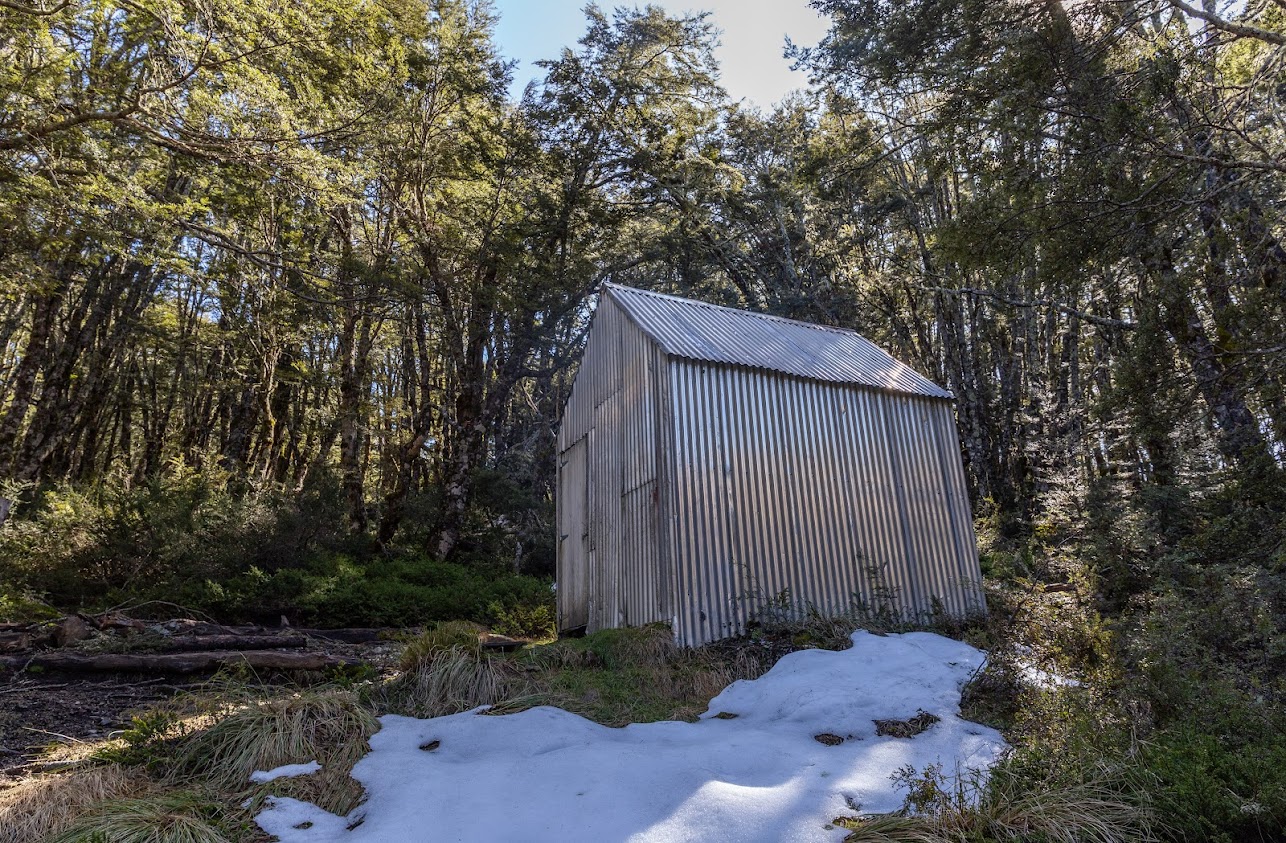
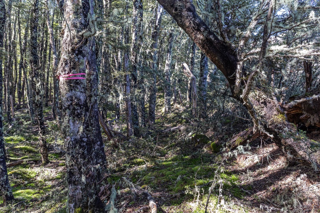
- From the top, we dropped down to check out A-Frame hut and Lagoon Saddle Hut. We followed the DOC track towards West Harper Hut for about a kilometer and then turned northeast along the ridge. My plan was to get around the snow field on the southern side of Mt Bruce. But I messed up. I got deceived by this marked track that we found. On the ridge, there was a track marked with pink tape that we followed but it took us way about the creek that drains the Western slopes between Mt Bruce and pt1672. Great track but we, unfortunately, didn’t go around the snow field at all and ended up – again – on the edge of it. If we just stayed in the creek, we’d have been able to go around the snowfield and there was no snow on the other side. But this way we ended up close to the summit again so we dropped down to Lagoon Saddle and walked back to the cars along the track that we came from.
- Still a great day out!
Tramped on 10th September 2022.
Rough stats: 15 km, 1600m up, 7h 20 min
Photos


Map
Total distance: 16040 m
Max elevation: 1640 m
Min elevation: 628 m
Download file: GPX-hikingisgood-com-nz-2022-Mt-Bruce-exploration.gpx
Max elevation: 1640 m
Min elevation: 628 m
Be the first to comment on "Mt Bruce exploration journey"