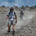
There were six of us. We started off in a decent-sized car park on the left side after a bridge over the Rolleston / Ōtira River confluence. There is a good gravel road leading a bit further to a railway bridge over the Rolleston River, but there is a locked gate. After a short walk along the gravel road, we followed the Rolleston River bed for about 2 kilometres. Occasionally, we encountered a vaguely marked track that allowed us to avoid big boulders and small waterfalls. Eventually, we arrived at the bottom of a steep scree slope on the true right of Rolleston River (our left. Initially, it climbs about 200 vertical metres out of the river and then starts traversing the northern bushy slopes of Mt. Philistine. Along that climb, Carmela wanted to bail, but we convinced her to continue. My backpack was packed, but the others found some free space and kindly carried part of her load.
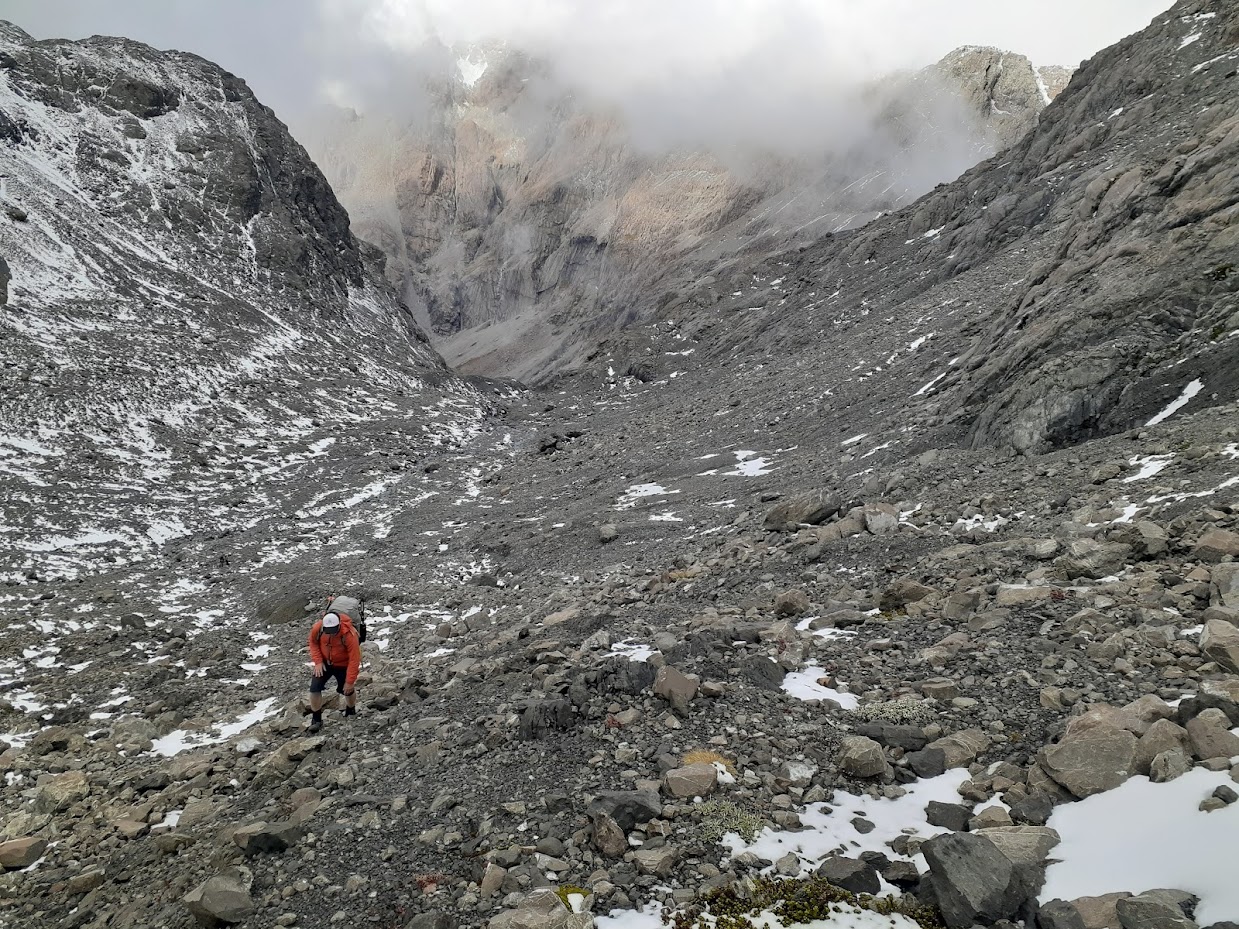
About an hour later, the track entered the Rolleston River. We had lunch there and debated where to go next. The Department of Conservation (DOC) description (archived version here) was quite clear: “sidle above the Rolleston River across areas of extremely steep scree, tussock and scrub”. It wasn’t very straightforward where to climb up, so after some trial and error, we found an okay route up along a very steep scree. Another two guys, whom we met along the way, decided to stay in the river bed, and we hadn’t seen them since. Later on, I found out that it’s possible to stay in the river bed, but there are some challenging sections with huge boulders to climb, which could be difficult with a backpack. It’s a “trail running” route on Wild Things (archive version here).
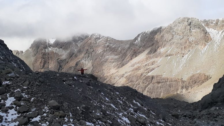
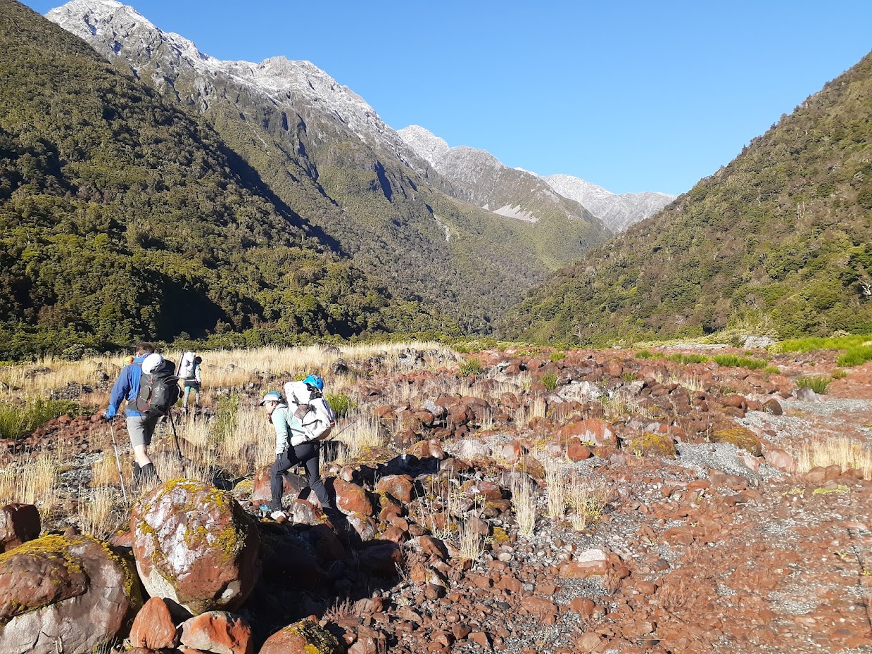
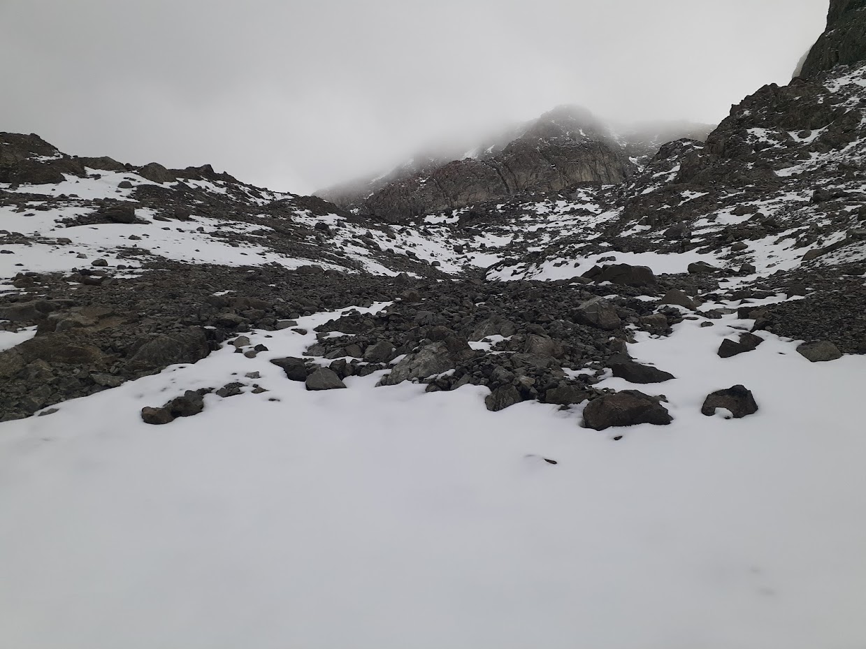
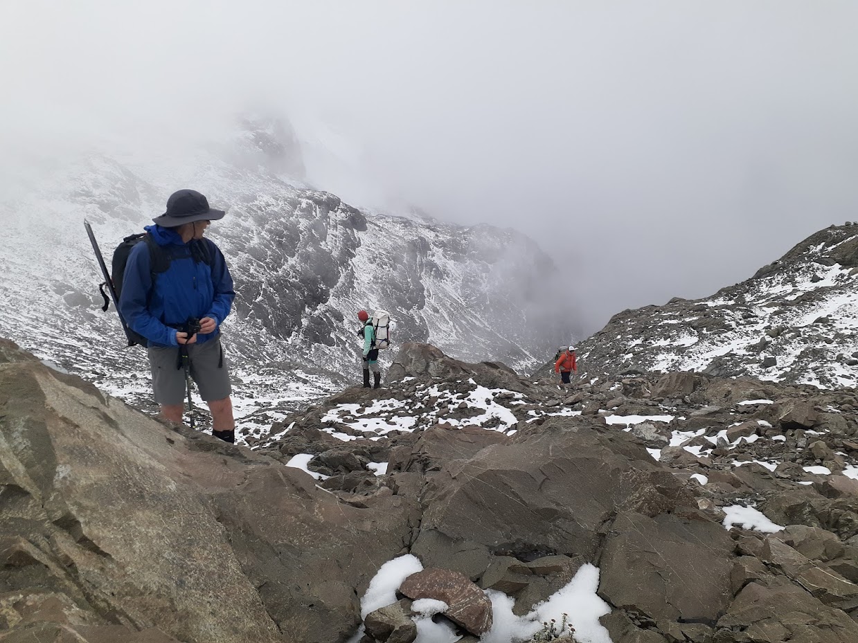
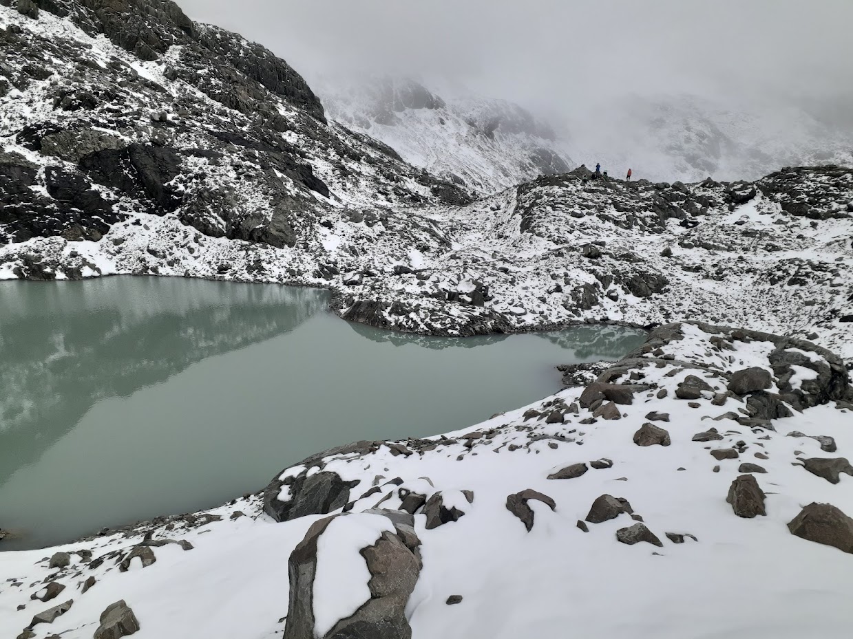
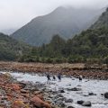
The next 2 kilometres were okay, just slow. In the end, we decided to descend to the Rolleston River, which was pretty bluffy, so take care if you follow my GPX route. Apparently, we could have stayed higher and crossed the last set of waterfalls higher, but it didn’t look good from where we were. Once back in the Rolleston River after the gorges, it was much more straightforward. A mixture of scree slopes, tussocks, and boulder fields led us to our crossing point between points 1845 and 2005. From there, we followed the DOC route description linked above, and it was not too bad, though I can see how people in fog can get lost here. The navigation would also be easier if we were going from Waimakariri Falls hut. The route is actually marked with rock cairns, but they’re quite sparse. There are two sets of bluffs, each navigated from the left when heading to Waimakariri Falls Hut from the col. You can follow my GPX here; it’s good.
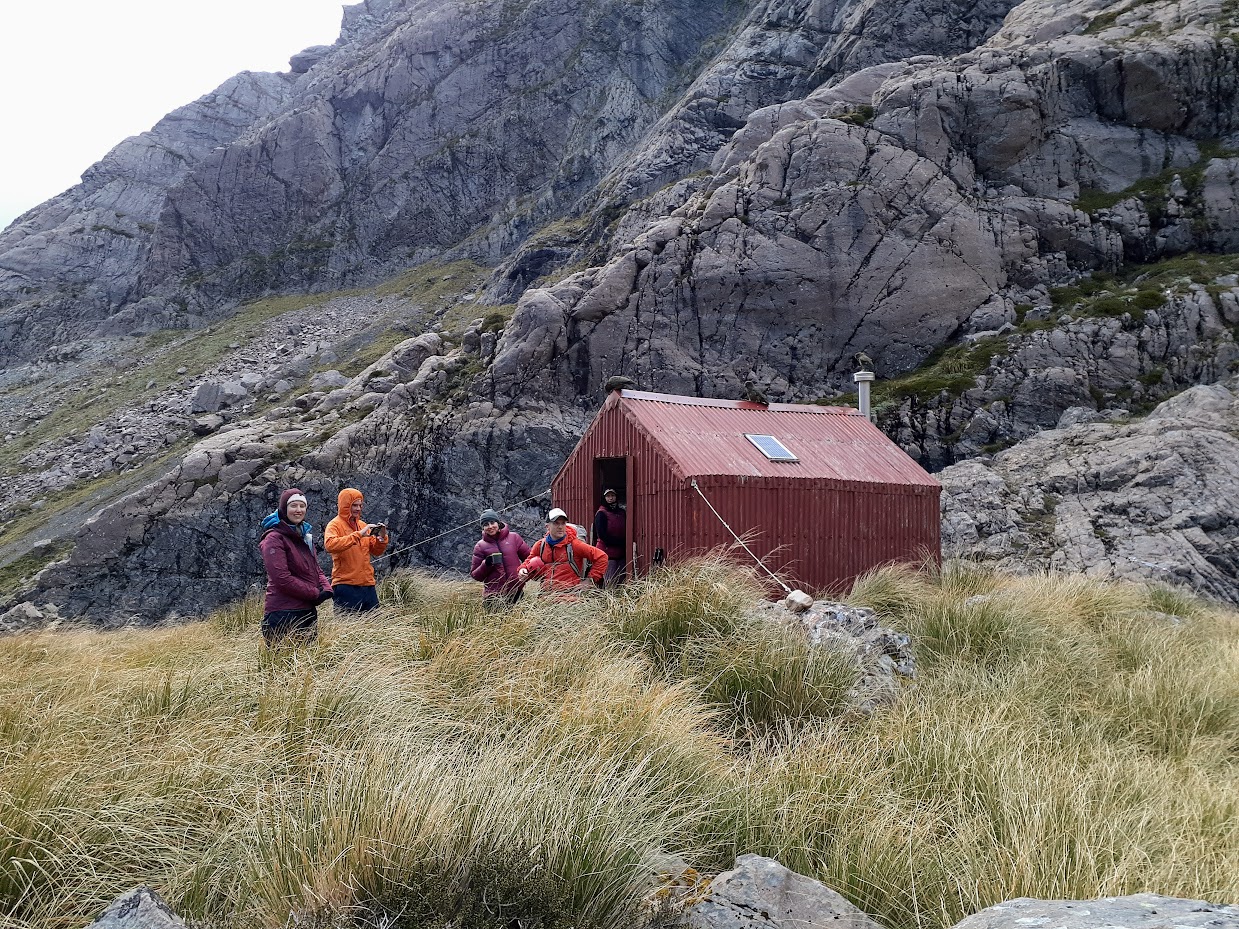
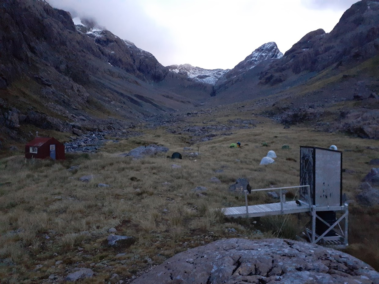
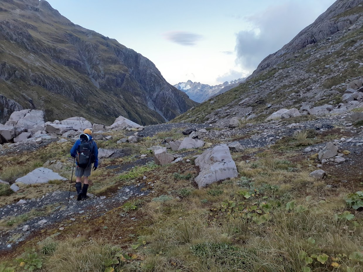
It took us ten hours to get to Waimakariri Falls Hut, where we caught up with another CTC group led by Captain Hannah. I counted a circus of 14 kea, which is the largest I’ve seen so far. I think there were a few more. They did cause some serious trouble, actually, chewing on a lot of gear and making holes in two tents. We chatted with the other group about the club, life, and mountains and went to bed early. In the early morning, Geoff and I left at 7 AM to get to SH7 as soon as possible to hitch back and retrieve our cars. Waimak route is significantly easier; it mostly goes along well-marked tracks or in the river bed. It took us less than six hours to get to Klondyke Corner, from where we hitched back to Otira, retrieved our cars, picked up the rest of the group at Klondyke, and off we went to have some beers at the Darfield Hotel.
Stats:
Otira – Waimakariri Col – Waimakariri Falls
17 km, 10 h, 1700 m ascent
Waimakariri Falls – Klondyke corner
23 km, 5 h 45 min, 140 m ascent (2h 30 min from Waimakariri Falls hut to Carrington hut)
Participants: Michal Klajban (leader, scribe, GPX, photos), Emma Rogers, Mark Nicholls, Geoffrey Cornelis, Phillip Wallis, Carmela Terrobias
Tramped on 16-17th March 2024.
Photos
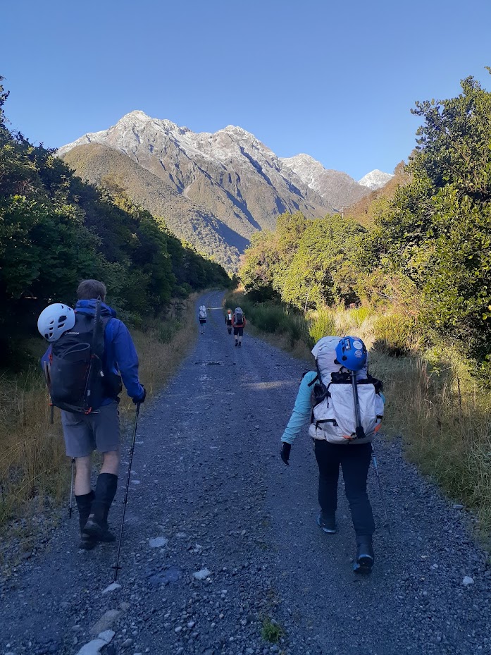
Railway road 
Rolleston River route 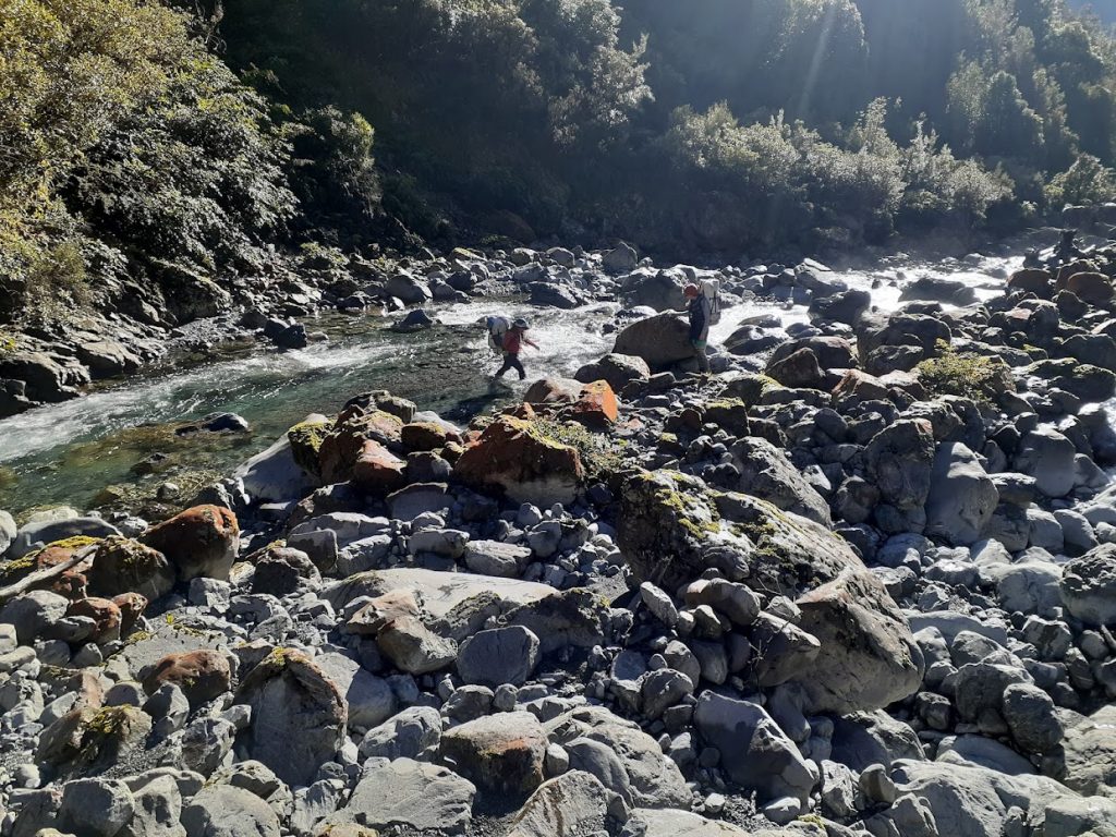
Rolleston River route 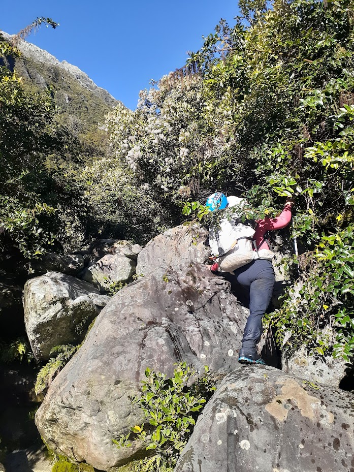
Carmela on Rolleston River route 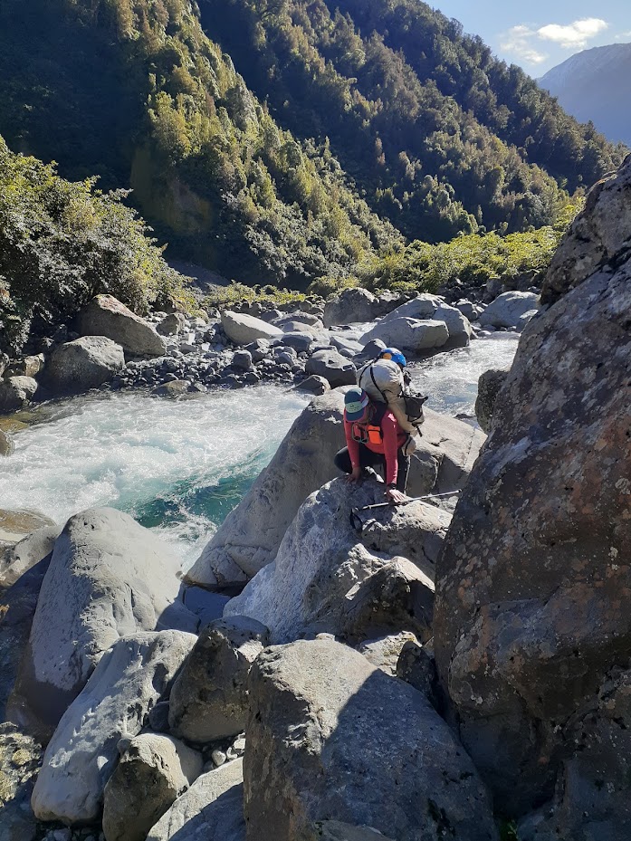
Carmela on Rolleston River route 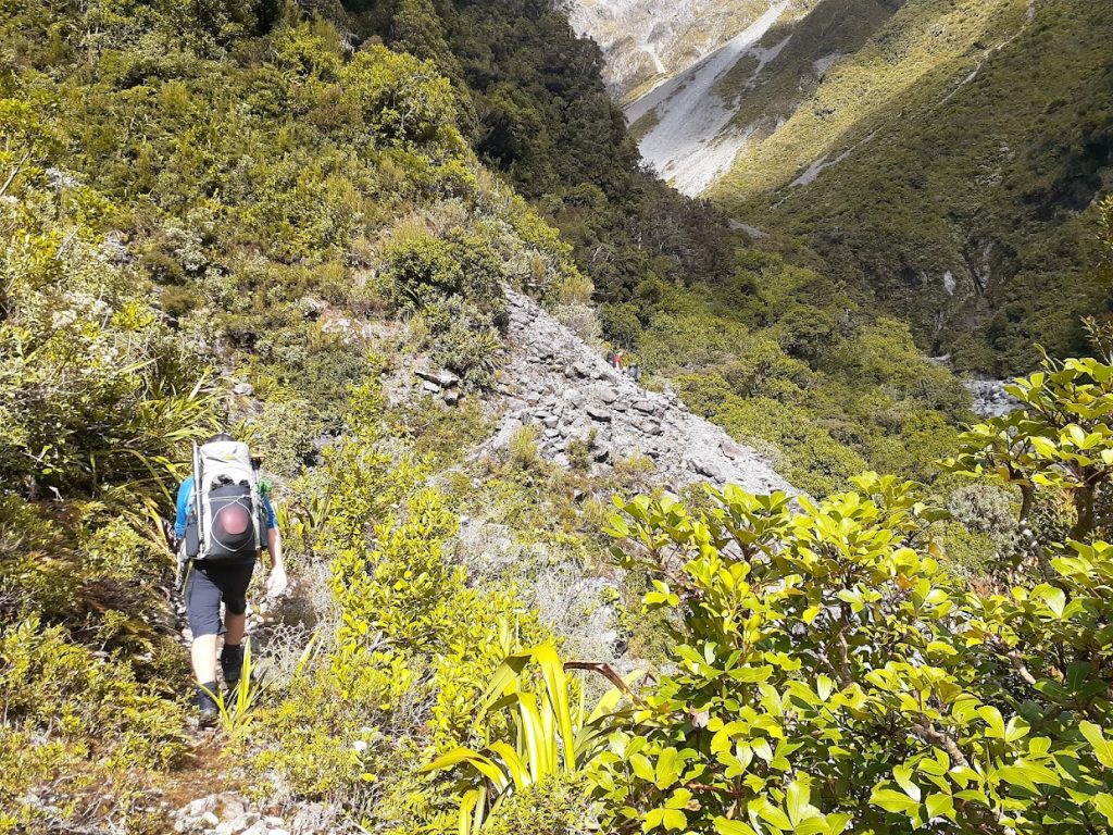
Mark on Rolleston River route 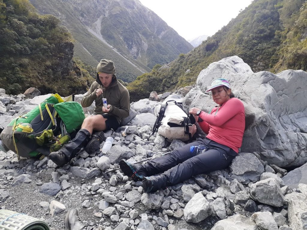
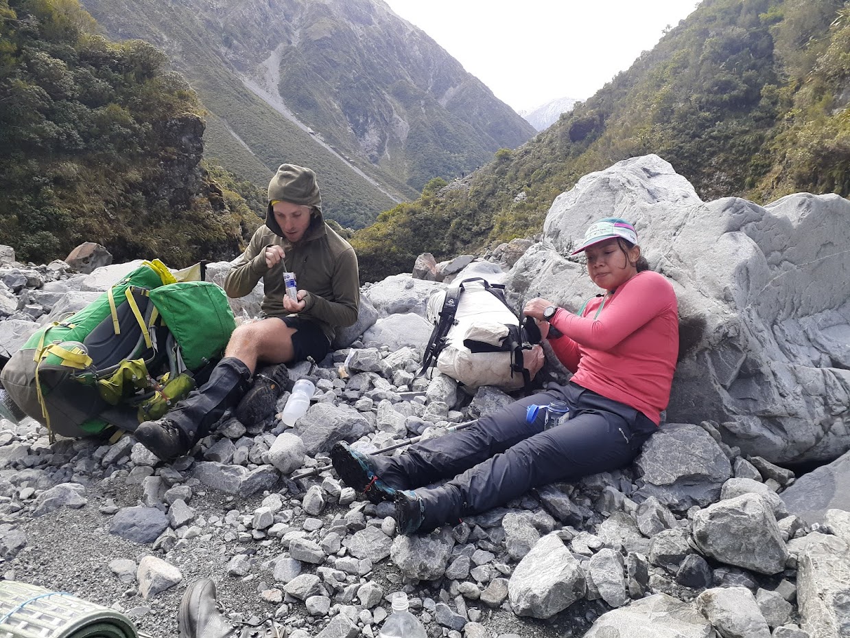
Phill and Carmela resting 
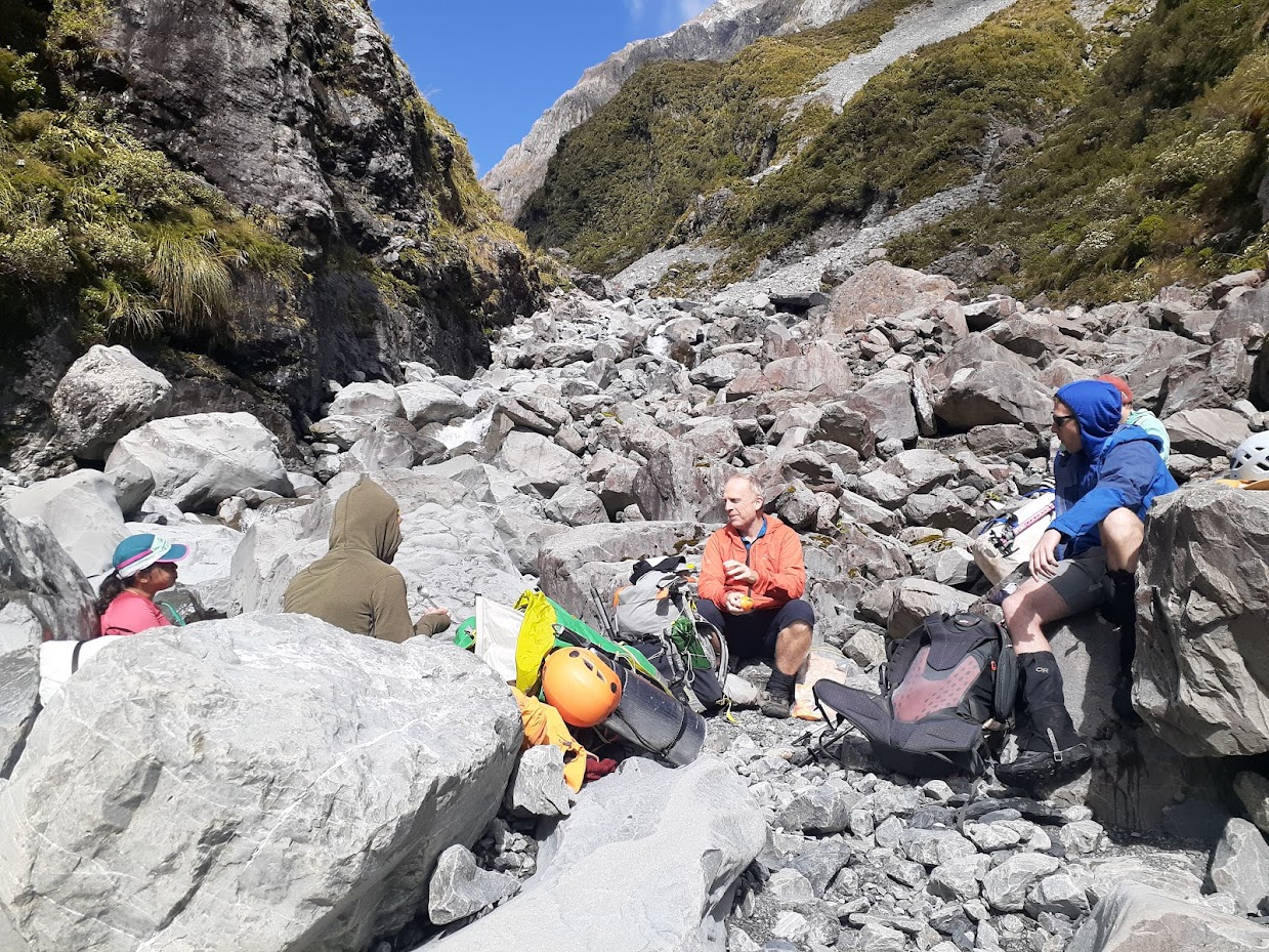
Mark resting 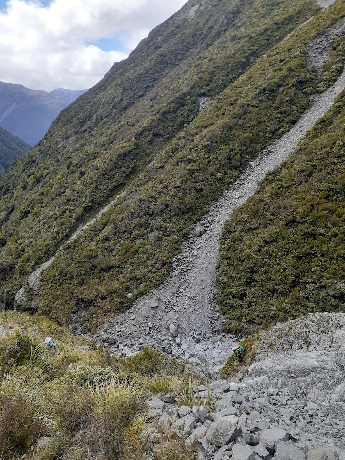
Phill (right) showing how NOT to use a helmet 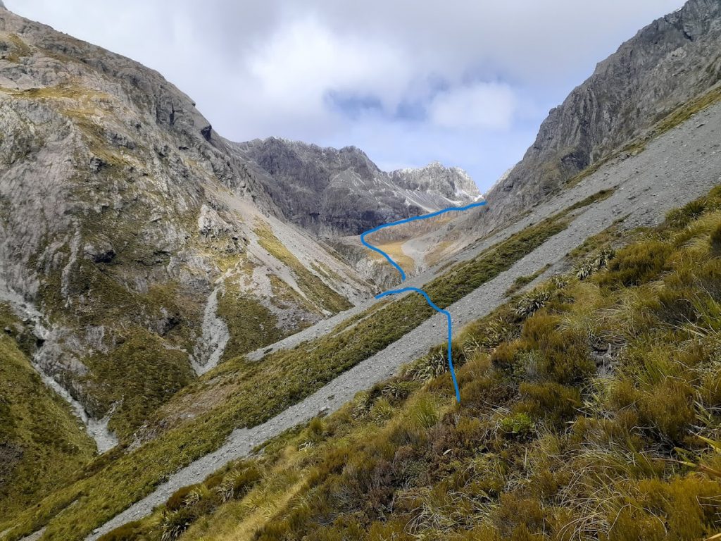
The route, more or less 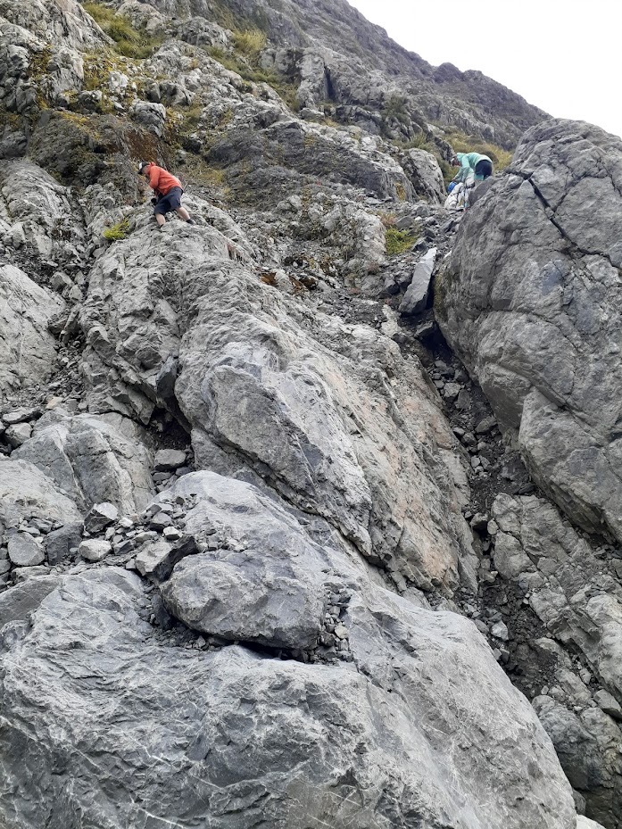
Here we decided to drop to Rolleston River. Not a great descent but we got kind of bluffed out 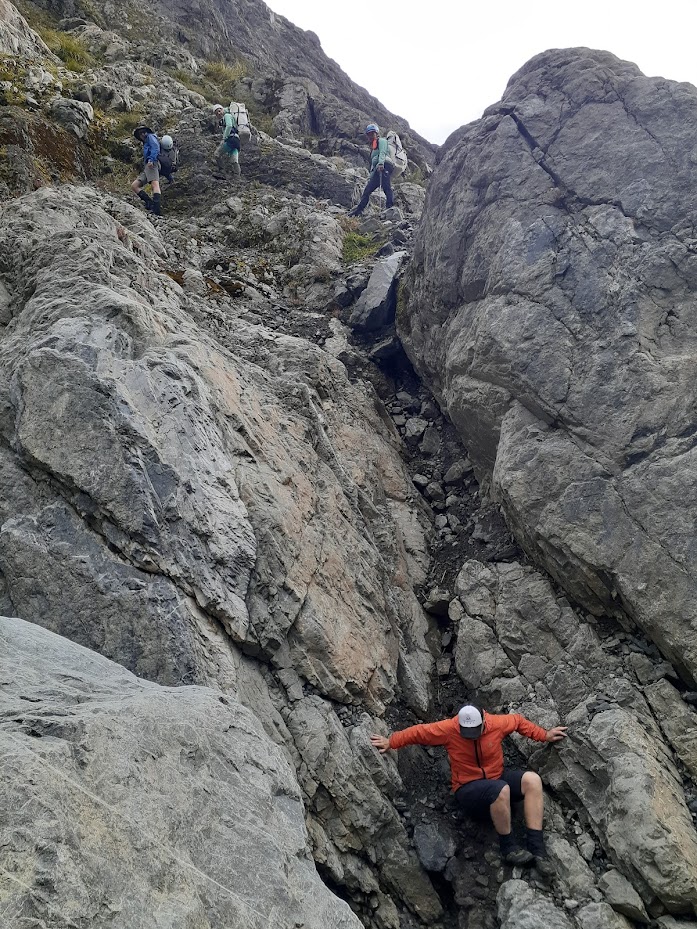
Note that Mark returned and dropped in this chimney 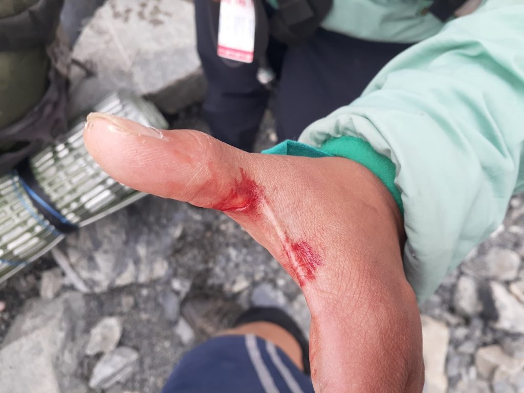
Carmela vs speargrass: 0:1 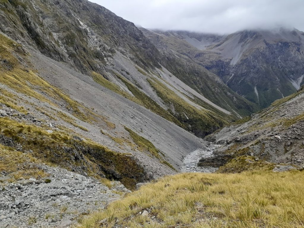
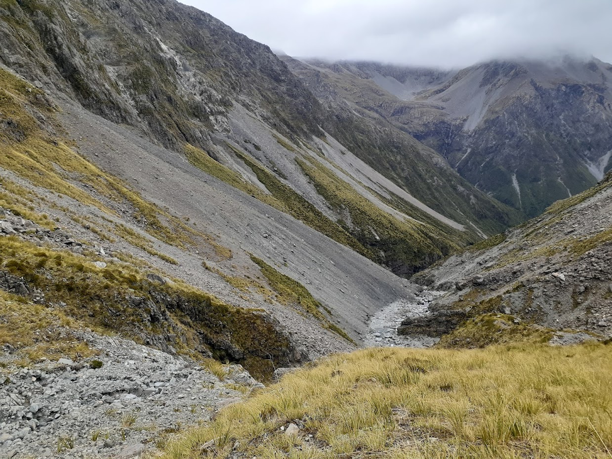
View of Rolleston River 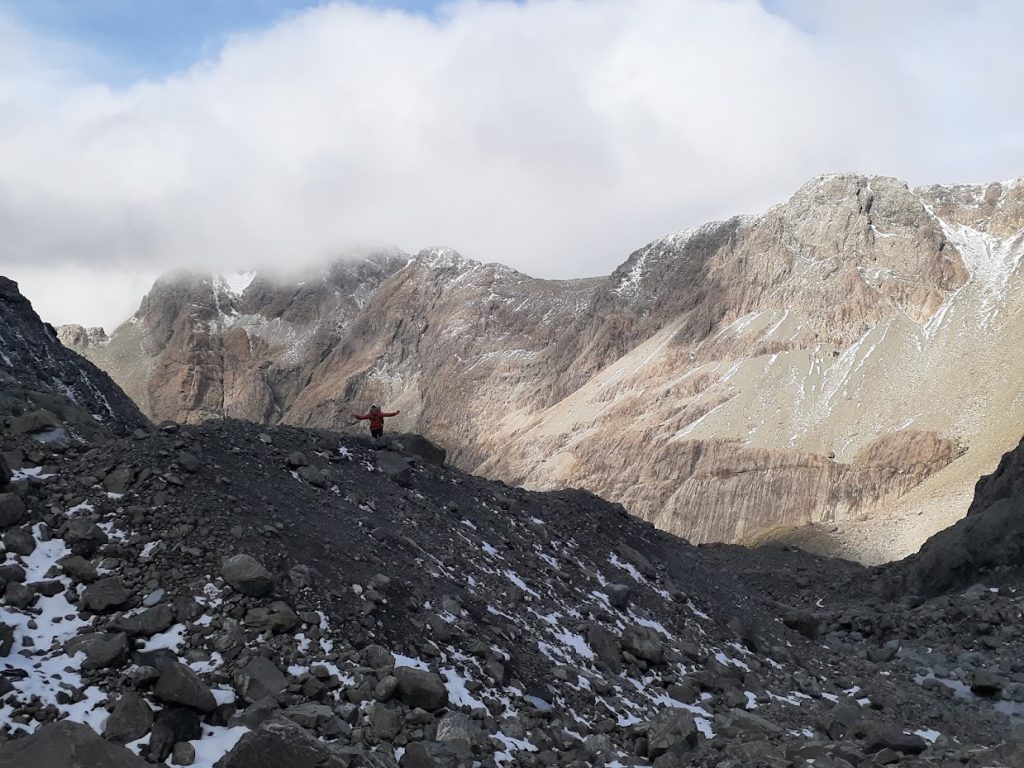
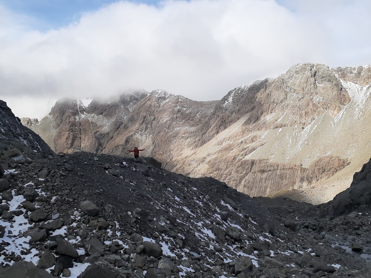
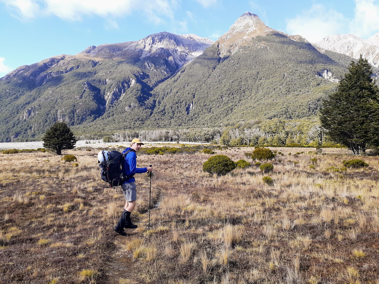
Mark happy to be above Rolleston River finally 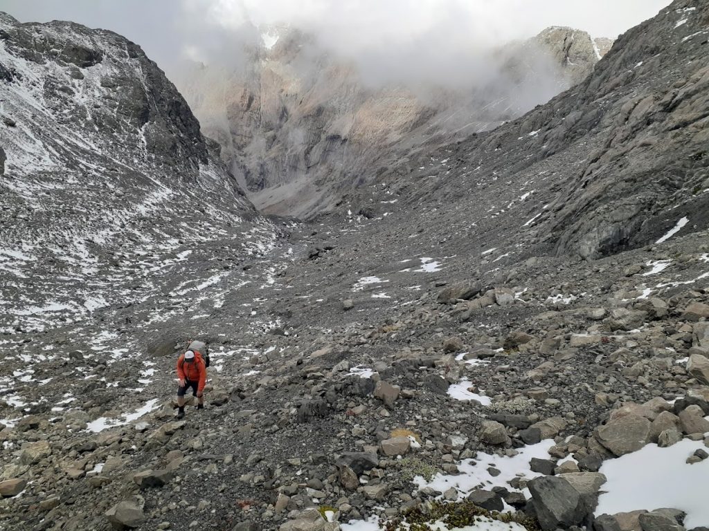
Mark climbing to the saddle 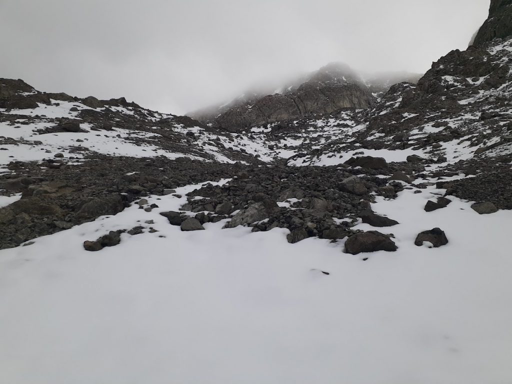
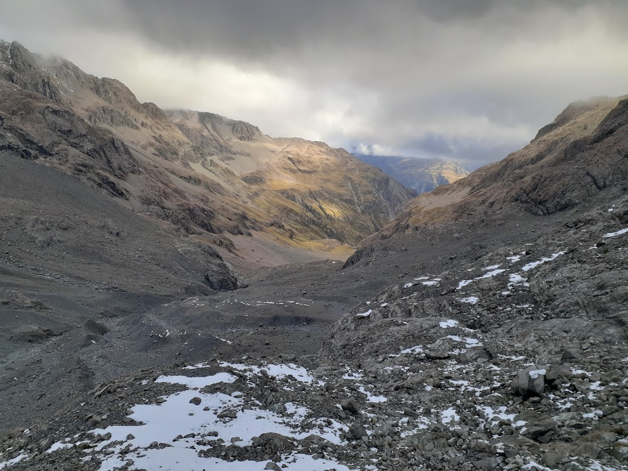
Between pt1845 and pt2005 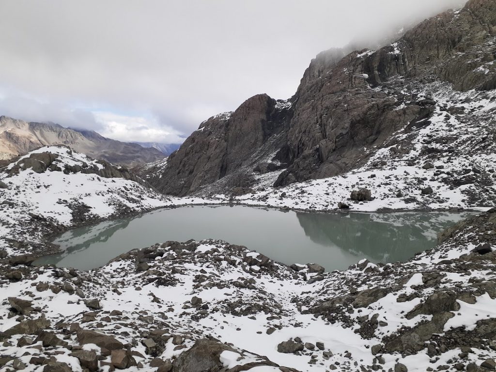
Between pt1845 and pt2005 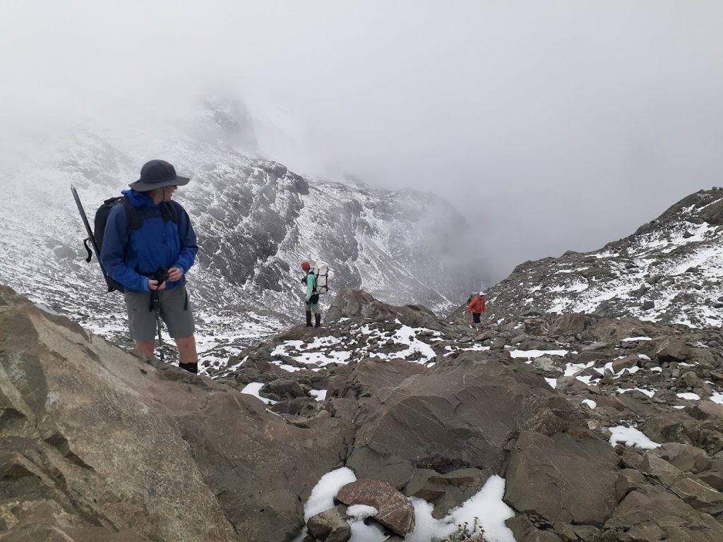
Between pt1845 and pt2005 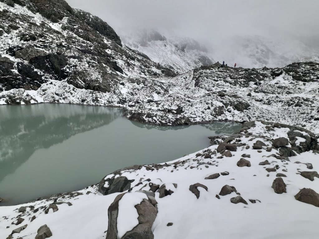
A tarn between pt1845 and pt2005 
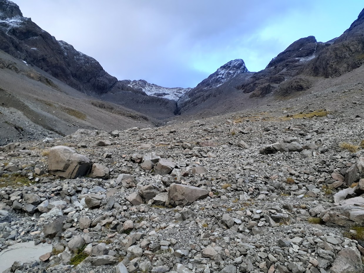
View of Waimakariri Falls hut – finally! However two sets of bluffs were ahead 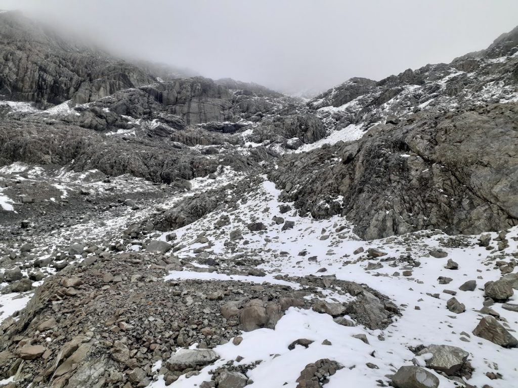
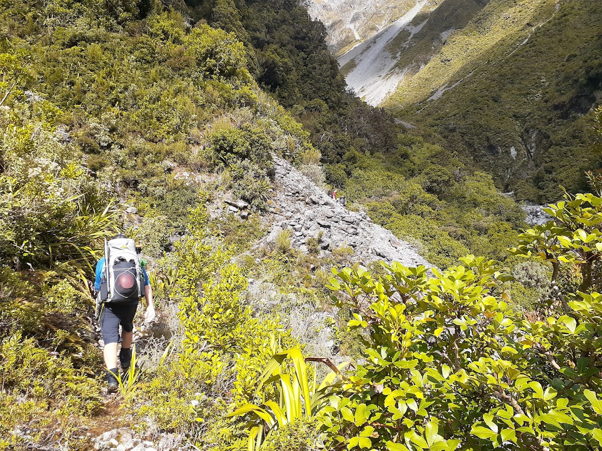
Upper bluffs. Follow rock cairns here 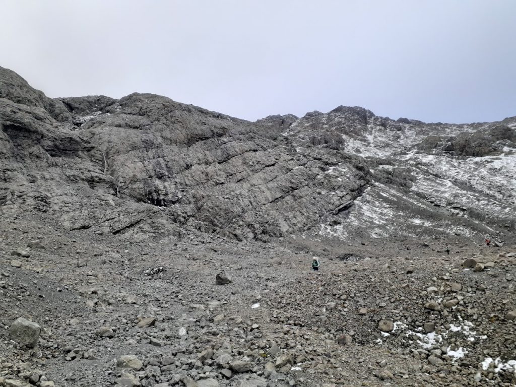
Lower bluffs. Also follow rock cairns 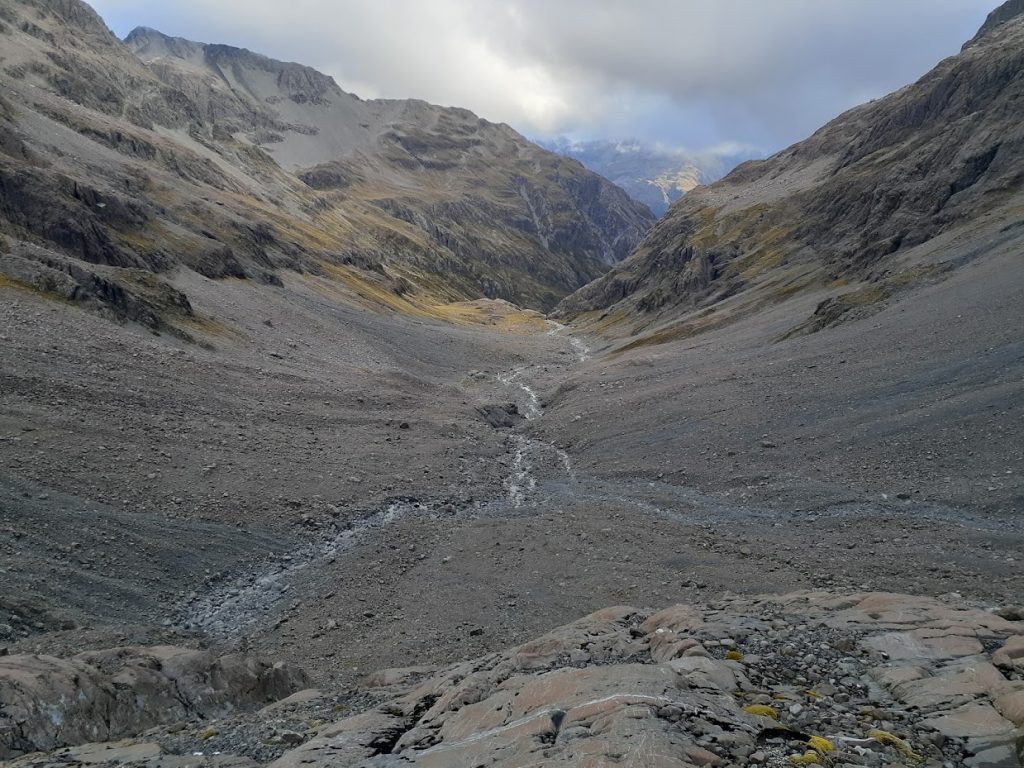
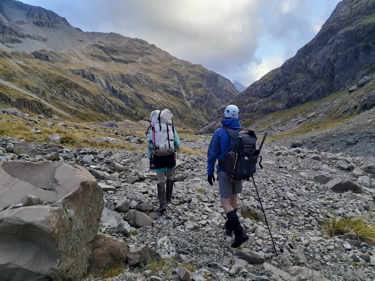
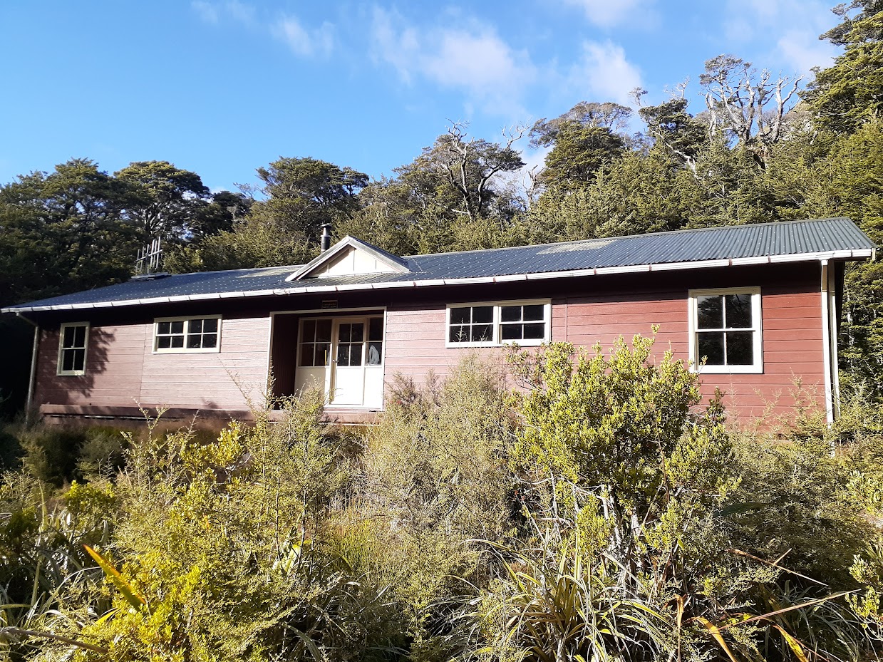
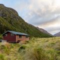
Waimakariri Falls hut is close! 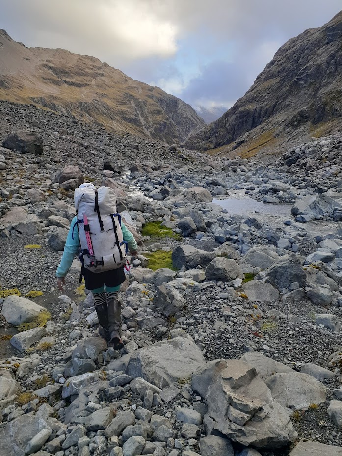
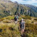
Emma heading to the hut 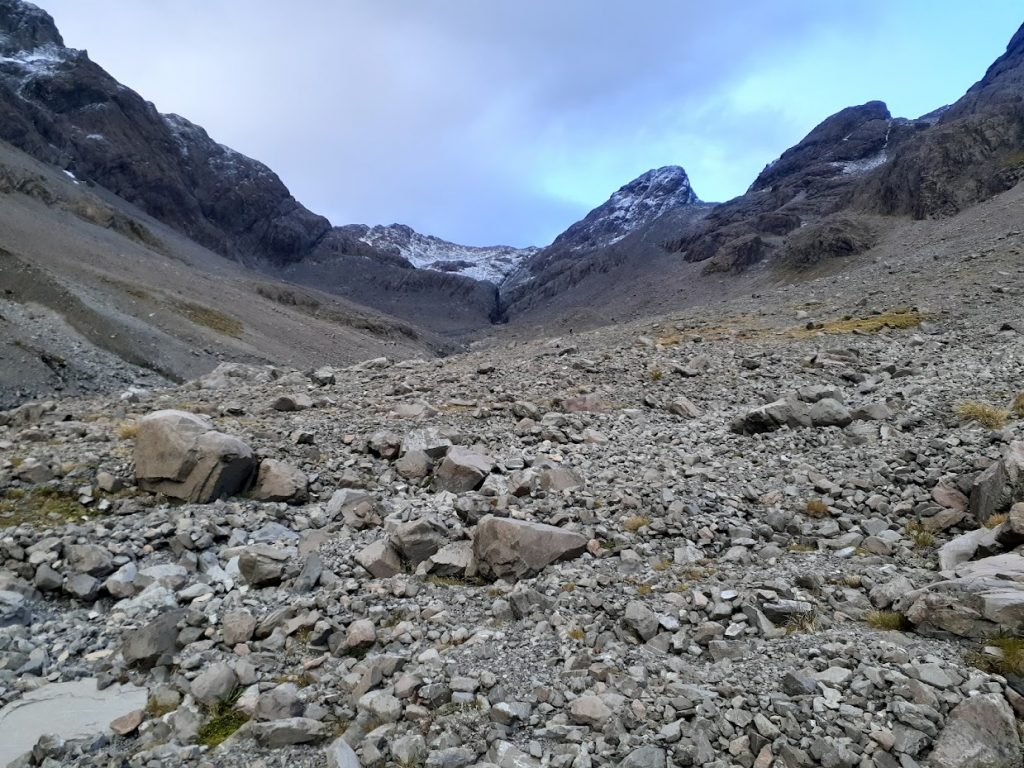
Waimakariri gorge above Waimakariri Falls hut 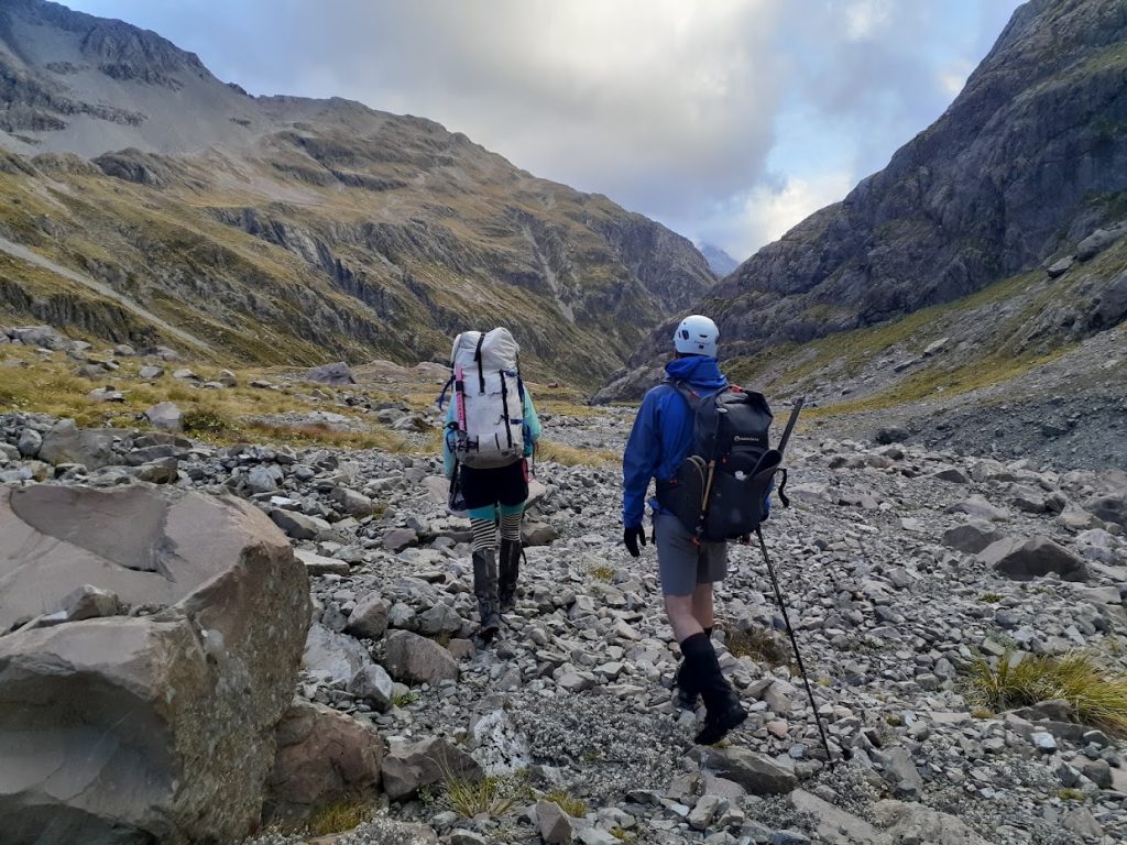
Emma and Geoff heading to the hut 
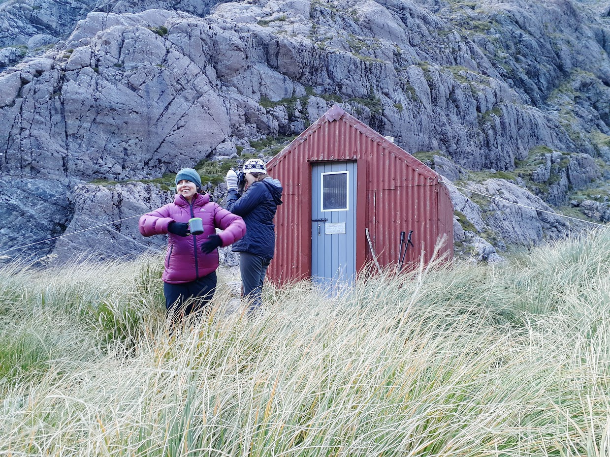
It took us “only” 10 hours to get to Waimakariri Falls Hut 
Captain Hannah posing 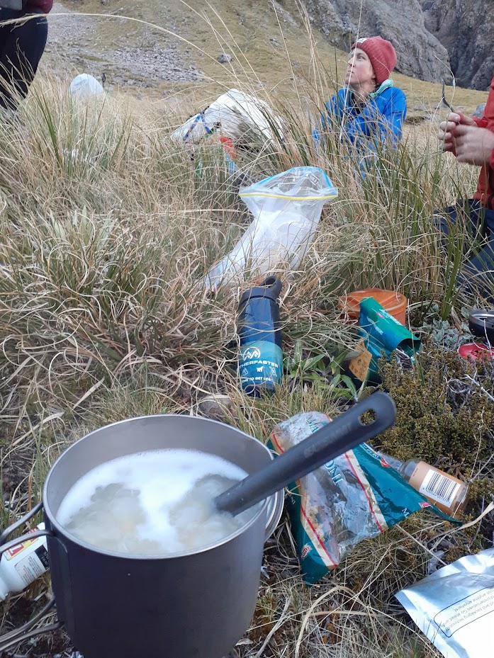
Dinner time 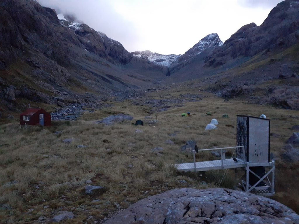
Evening with a bunch of kea 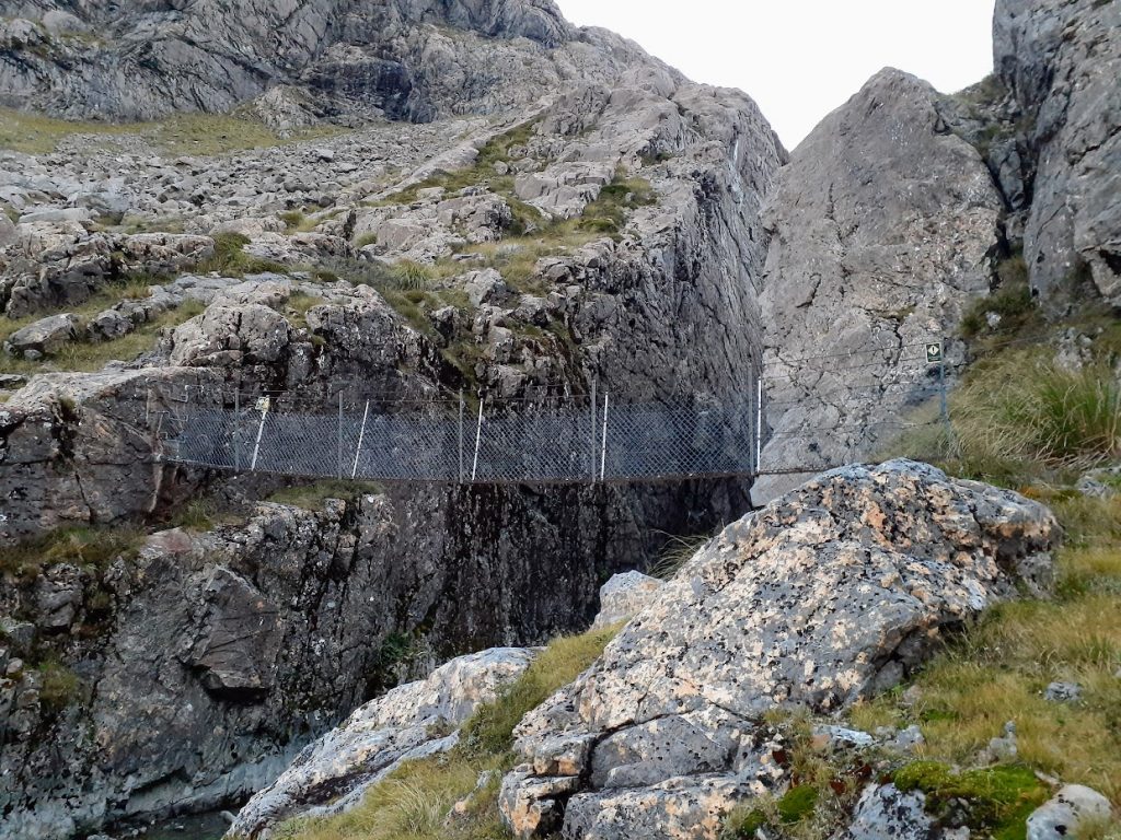
Waimakariri Falls bridge 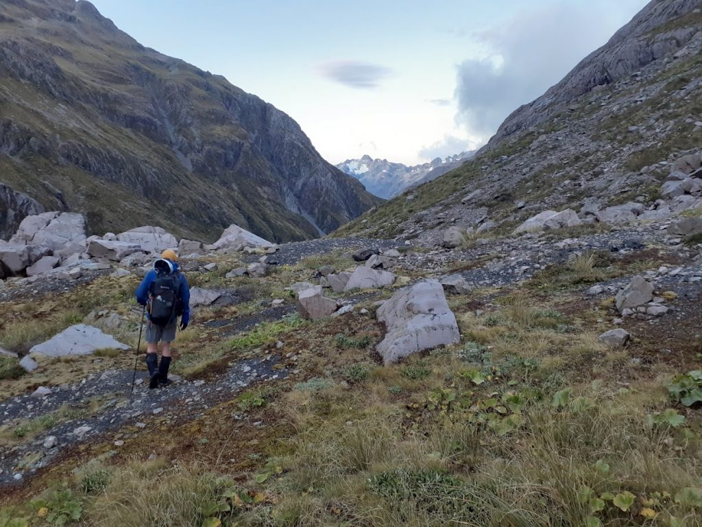
Geoff heading down 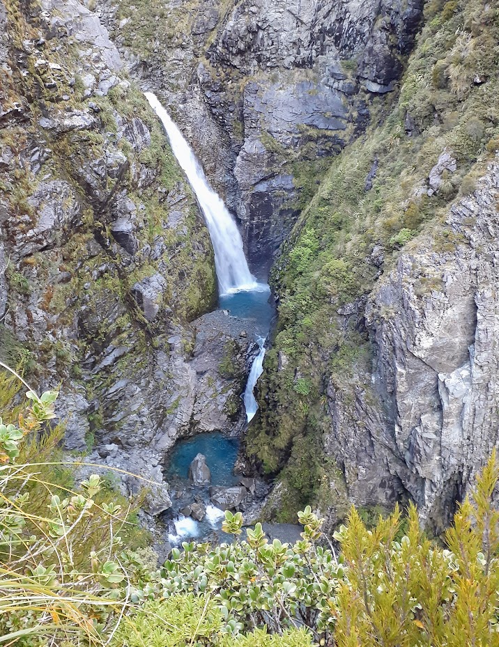
Waimakariri Falls. Pretty and intimidating 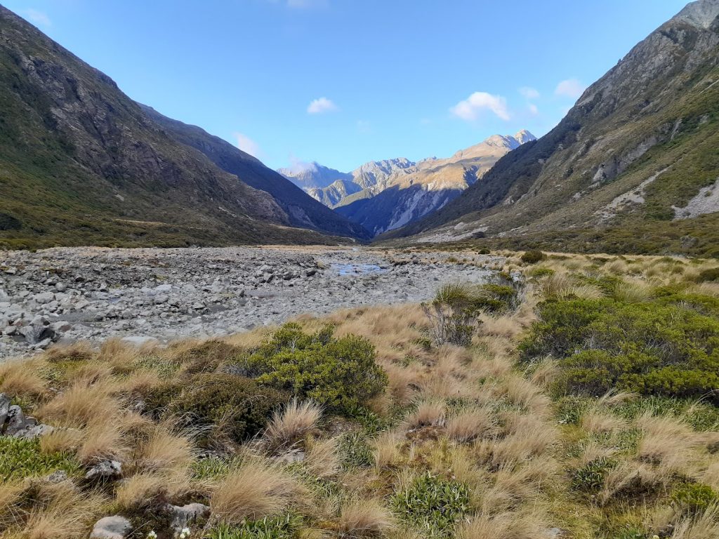
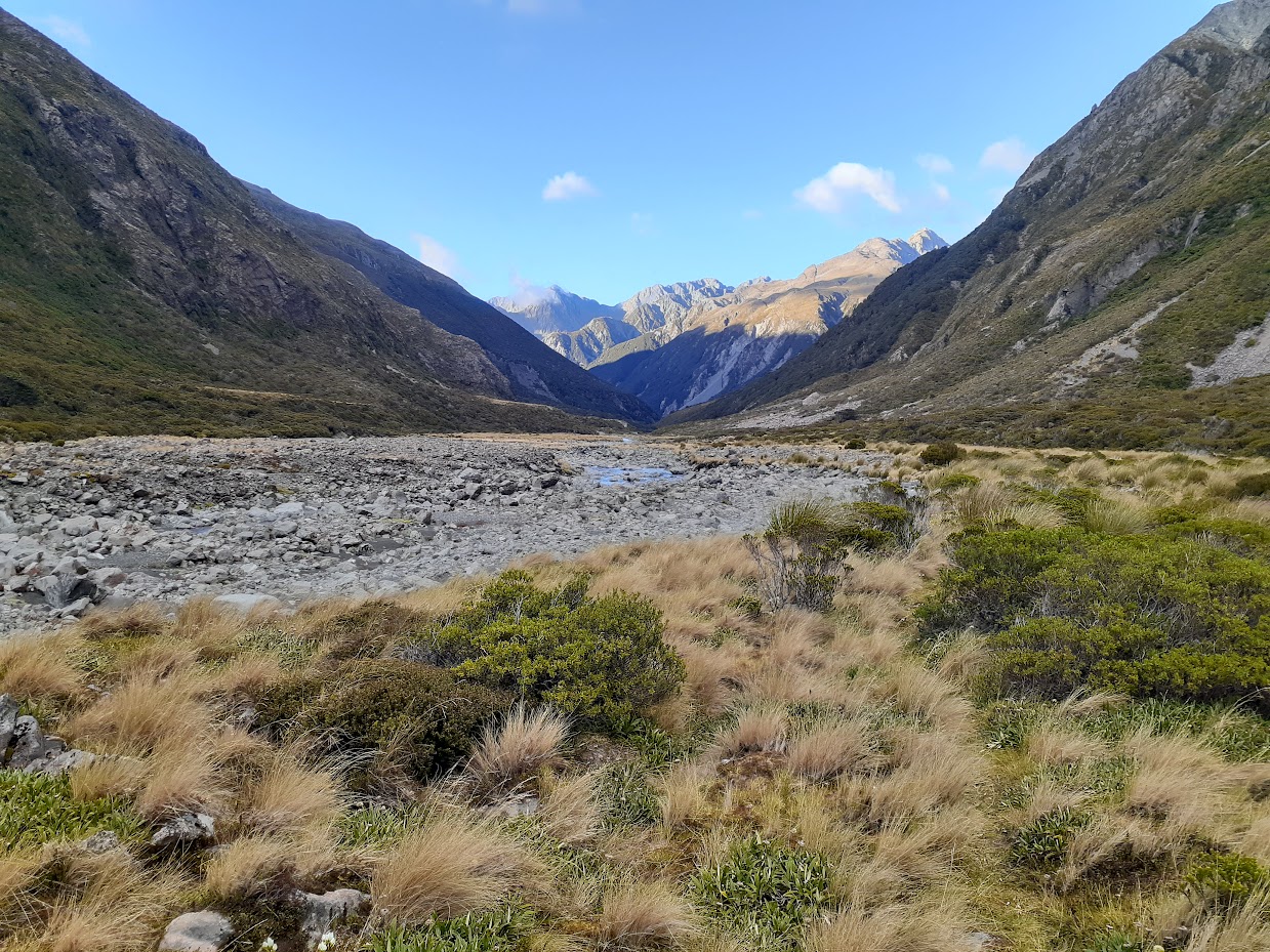
Waimakariri River 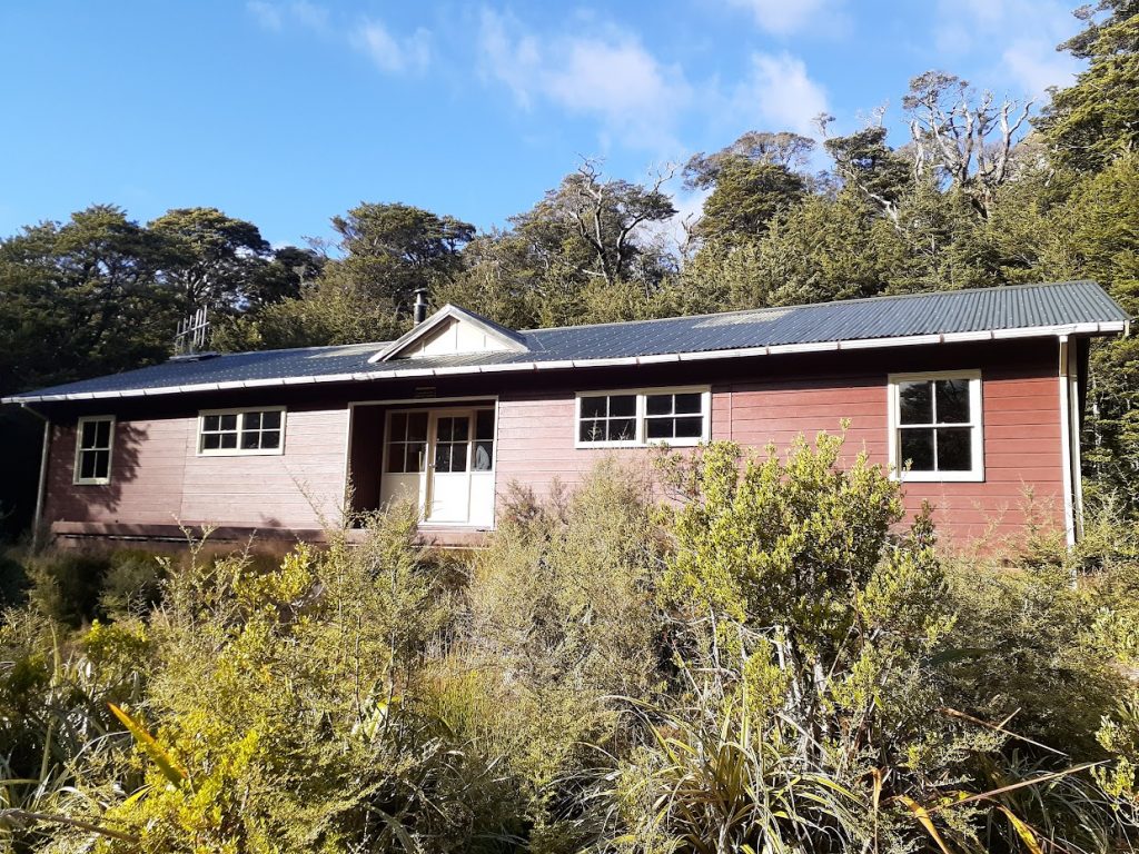
Carrington hut 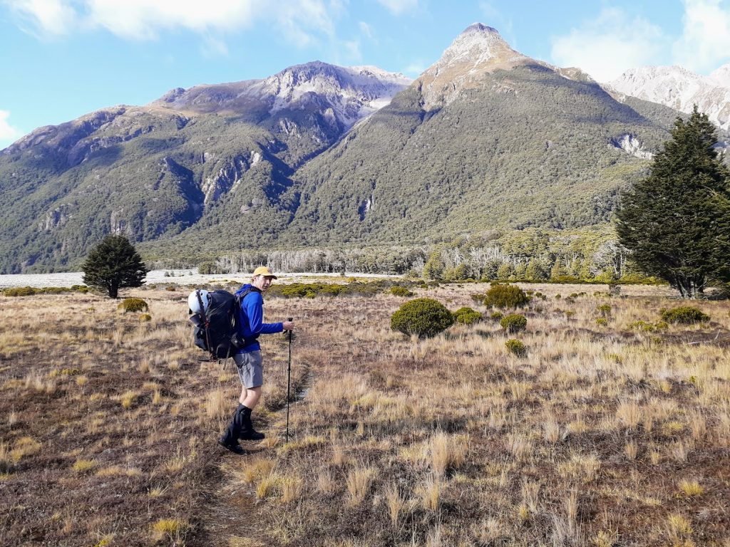
Geoff heading back to Klondyke 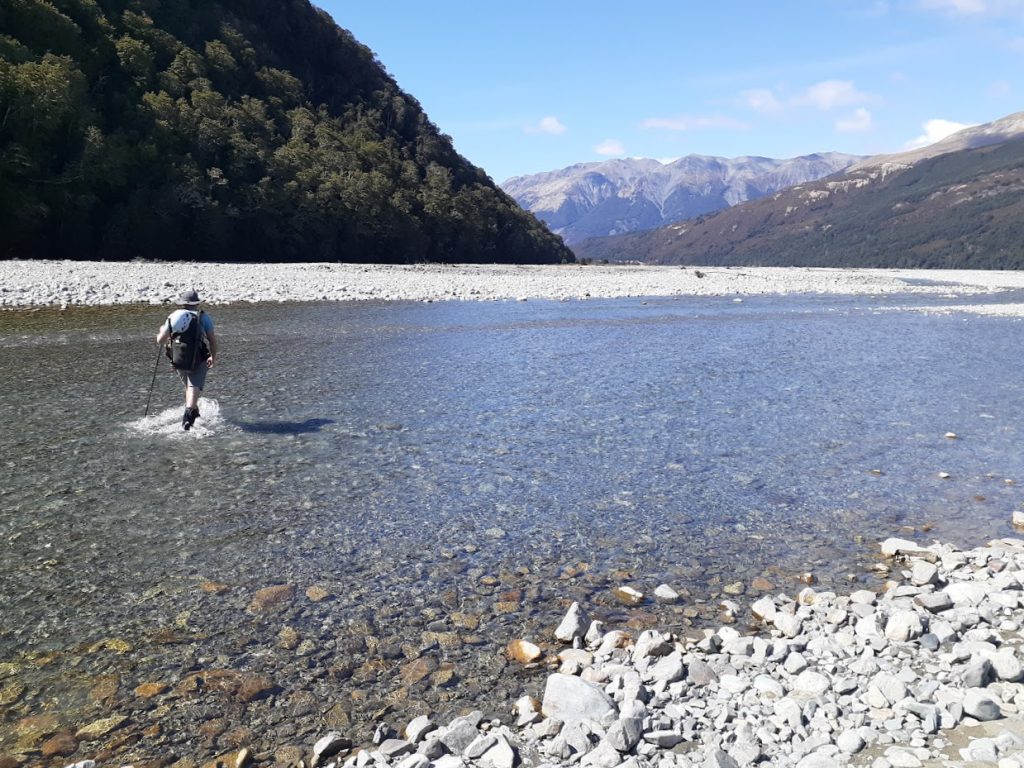
Last river crossing before arriving at Klondyke corner


Maps
Max elevation: 1796 m
Min elevation: 447 m
Max elevation: 1288 m
Min elevation: 637 m
Be the first to comment on "Waimakariri Falls Hut via Waimakariri Col"