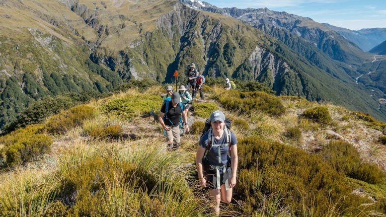
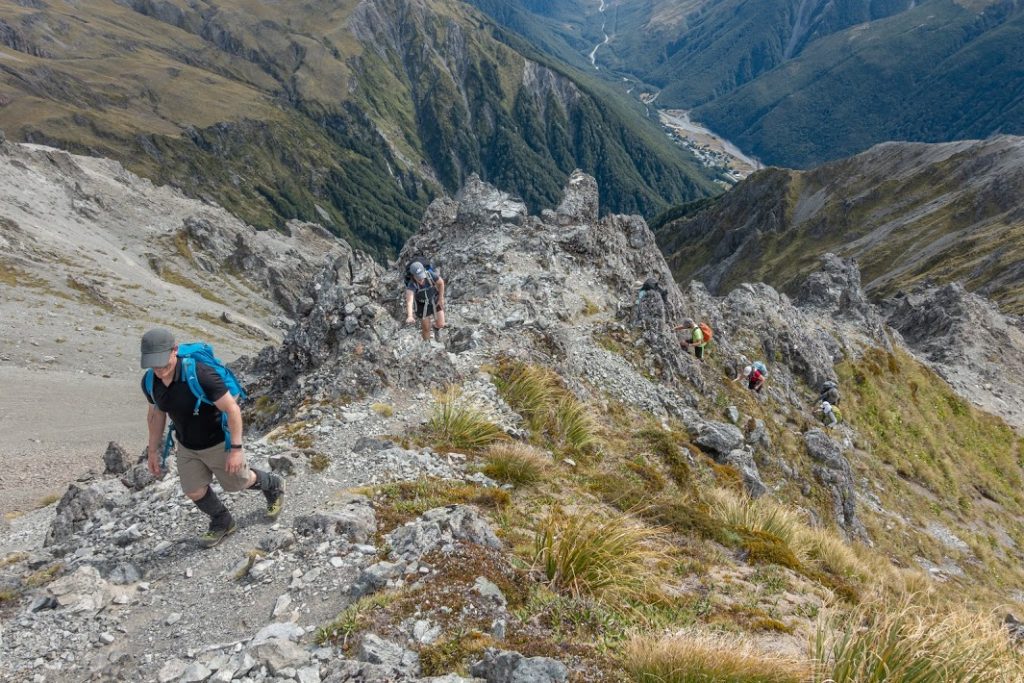
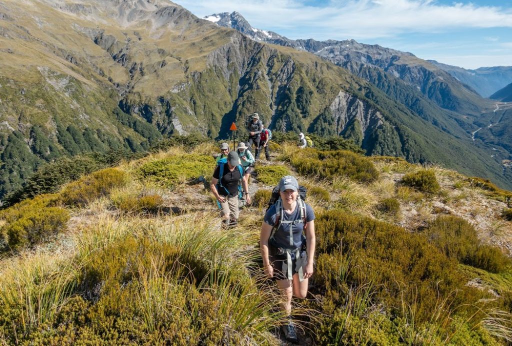
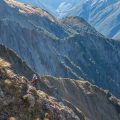
9 early birds met at Z Russley at 7am from where we drove to Arthur’s Pass Village. We parked at a wee car park at the end of Mount Bealey Road and off we went to battle a steep hill. Somewhere in the middle of this initial steep and bushy part most of us appreciated the early start as the sun was already up, shining harshly on our sweaty backs. This track was vaguely marked but easy to follow. We took a decent break on the bushline and started ascending on an unmarked but well-trodden track. Occasional rock cairns showed us the way. At pt1760 we met Lea, a prospective member who didn’t manage to get to the trip as there were limited numbers but he decided to go up anyway. Great to see so much enthusiasm!
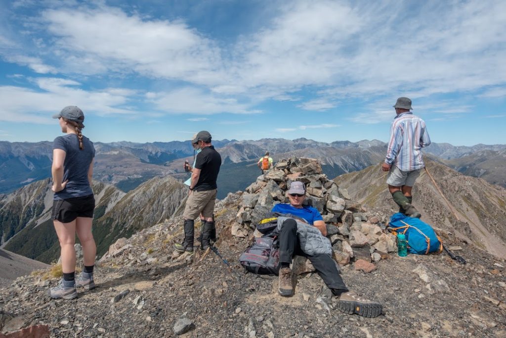
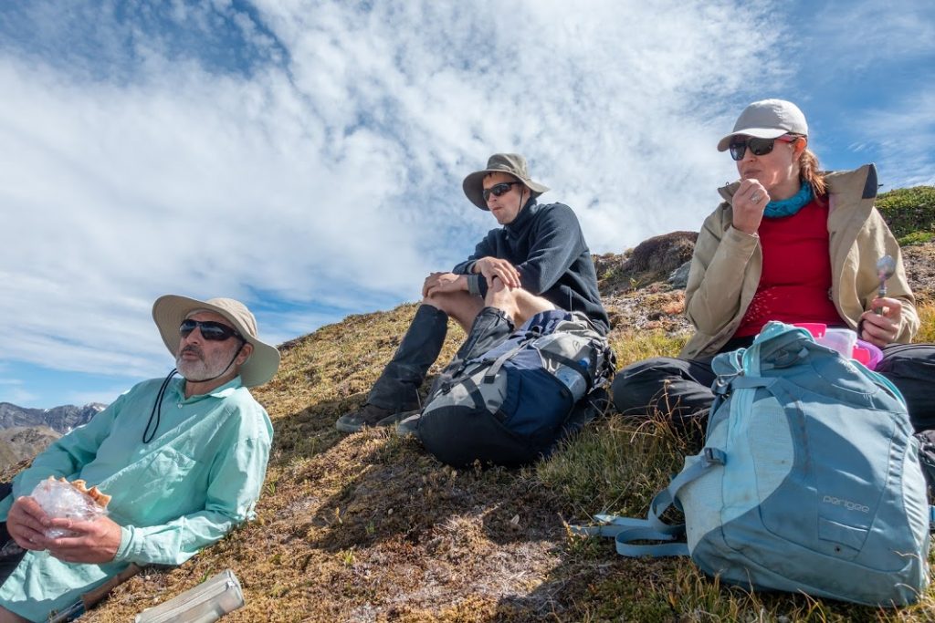
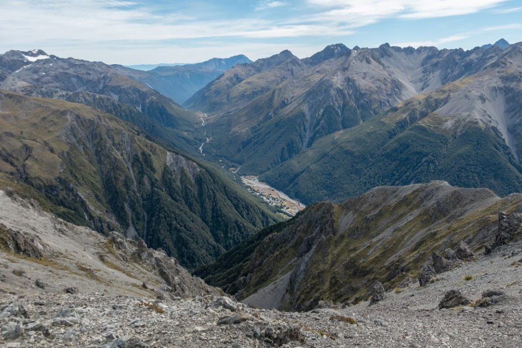
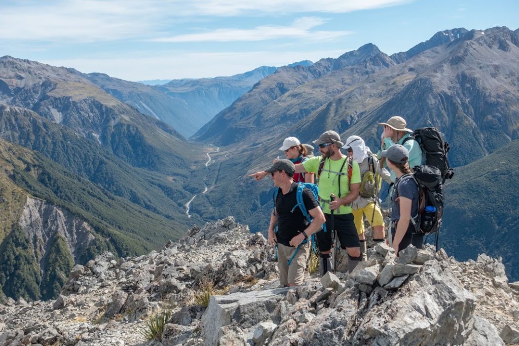
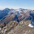
We took a lunch break and most of the participants left their packs there and went up to Mt Bealey without packs. From Mt Bealey, we got really good views over the whole national park. What a lucky man I am to live so close to such a beauty! On the way back we took a scree from pt1760. Kate and James decided to go back the same way.
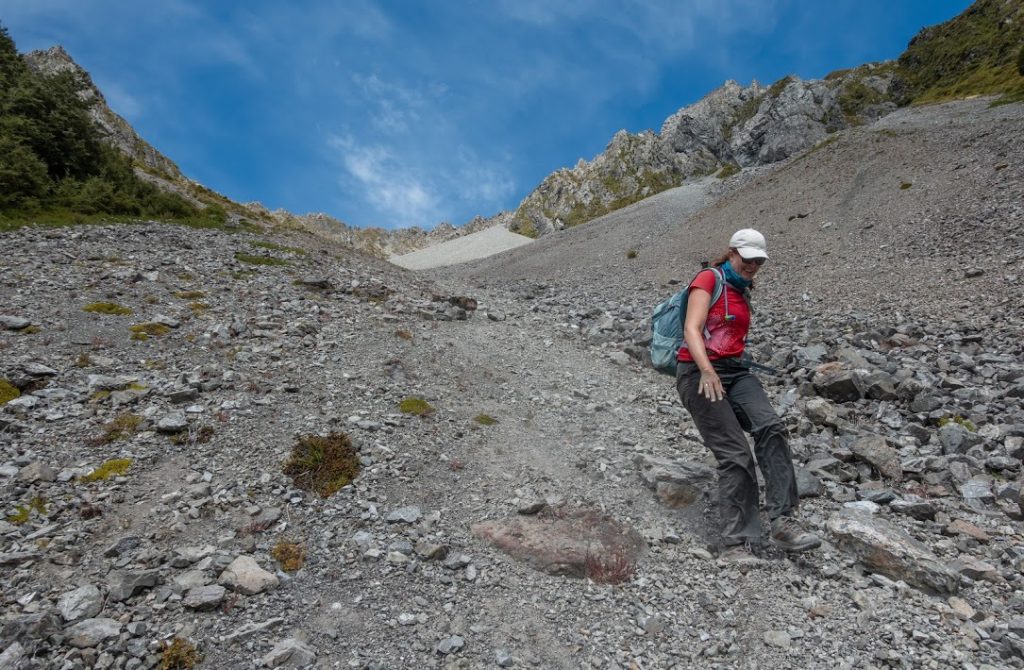
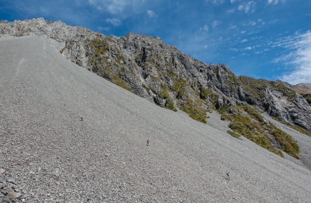
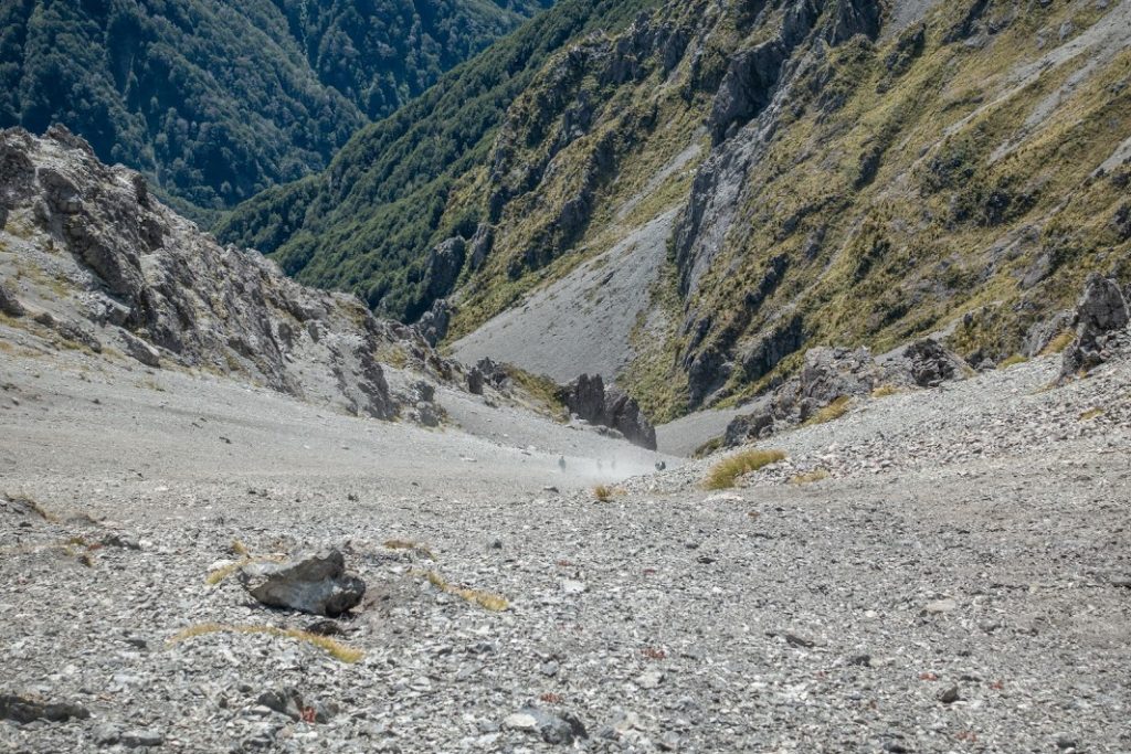
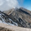
The scree slope was quite steep so we divided into 2 groups. The first group led by Alan went down, all members close to each other to mitigate the risk of getting hit by rolling rocks. 10 minutes later my group followed. The scree was really good between 1700m and cca 1400m contour. After that, the size of gravel increased to the state that it was not good for scree running at all. Facing that, you could either keep diverting to the slopes on the TL where the scree was looking OK or take a well visible track on the slope in TR at around 1300m contour. I took the TR option and it was quite pleasant actually.
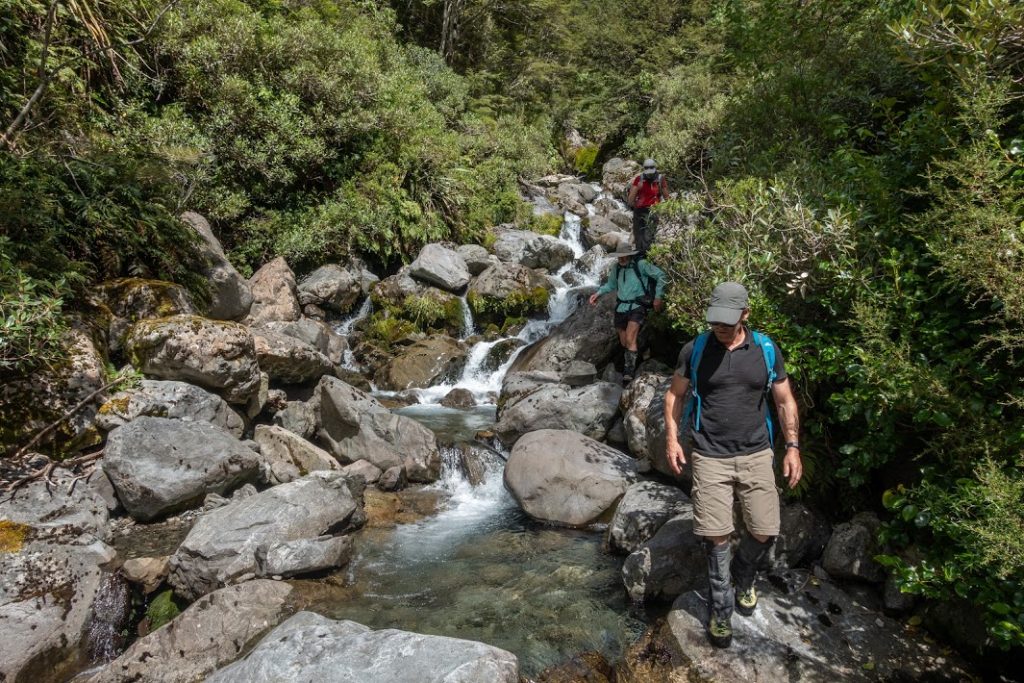
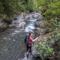
We took another shortish break and after that, we finally went down to Rough Creek. The progress was quite slow. The creek had some huge boulders we had to climb and slide across. I had a lot of fun there and I’m sure that the rest of the group too! There are a few rock cairns showing where it’s better to take a shortcut through the bush. Alan, Lea and myself had a couple of dips which were super refreshing during this hot day! It took us perhaps 1.5h to get back to our cars.
Overall it was a great tramp, thanks everyone for coming over.
Rough stats: 7 km, 1200m up, 6h 30min
Tramped on 21st February 2021
Participants: Michal Klajban (leader, scribe, photos, GPX), Daniel Cordes, Grant Barrie, Shana Dooley, Byron Harvey, Eilish Maddock, James Atlas, Alan Ross, Kate Taylor


Map
Max elevation: 1838 m
Min elevation: 743 m
Be the first to comment on "Mt Bealey loop via Rough Creek"