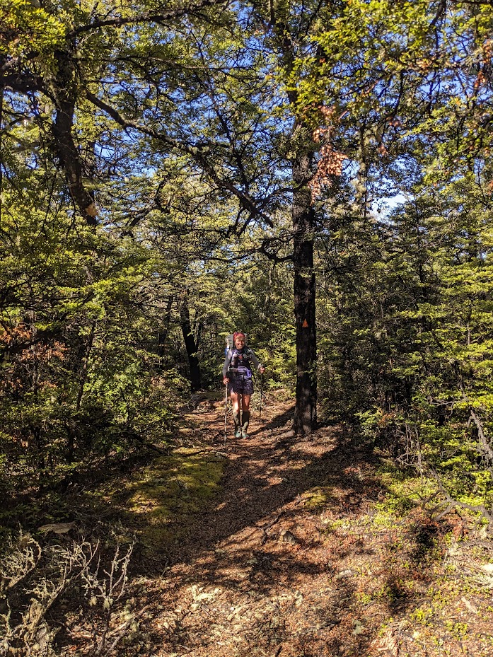
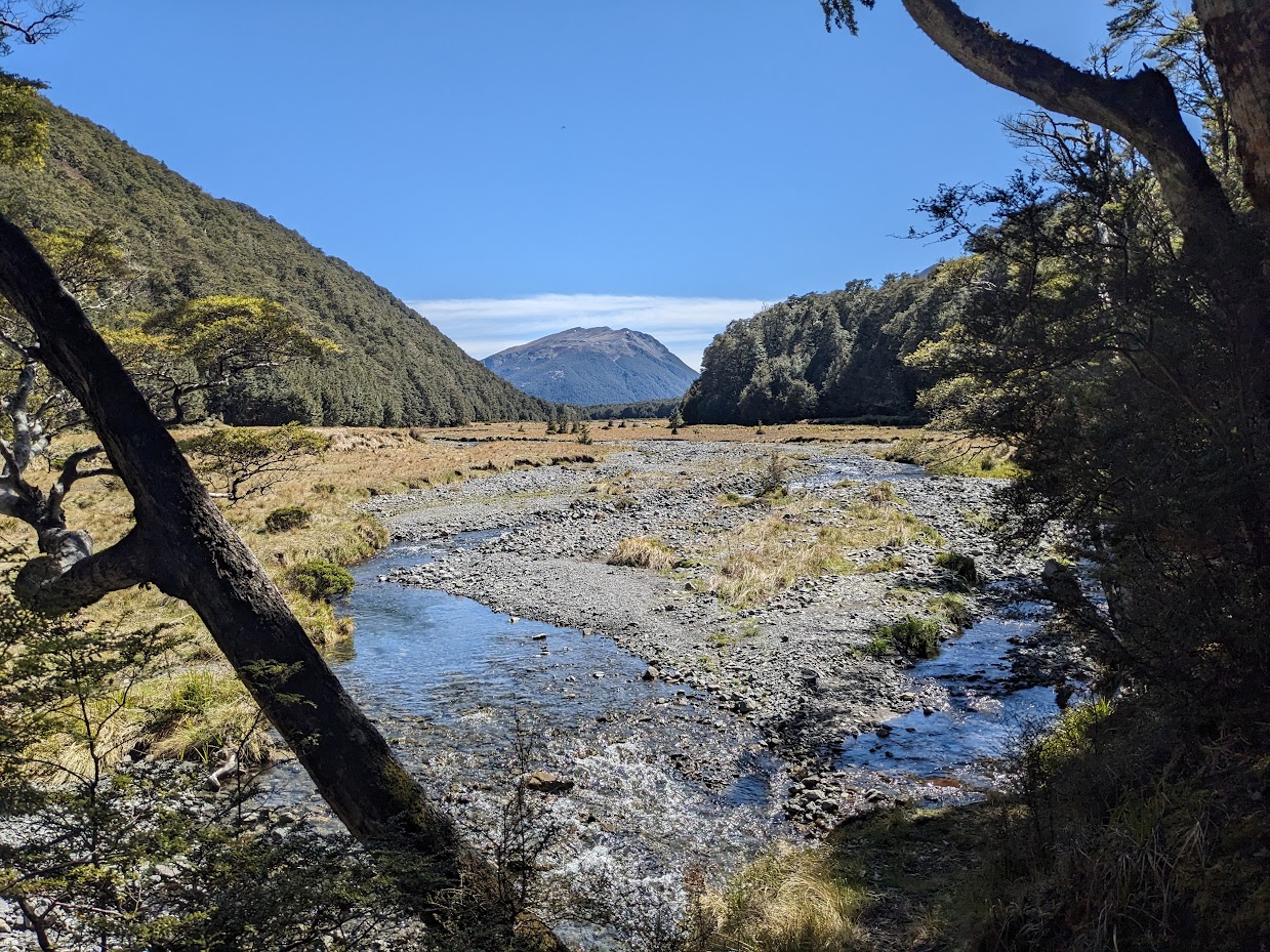
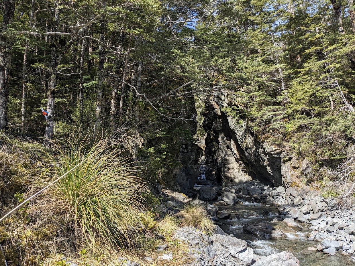
I was “lucky” enough that Emma got injured so I could actually keep up with her on a trip that turned out to be a bit longer than I anticipated. We started off at Andrews Shelter, from where we plodded to Casey Hut. After feeding ourselves and the local sandflies, we continued along the Poulter River towards Fenwick Stream. About 400 m up the stream, I realised that I hadn’t taken any water. Not knowing if there would be any water further up, we went back to Poulter River, got water, and continued further. Soon enough (as Emma predicted), we found water at Fenwick Stream. The stream is quite big, but the water seems to flow underground at its lower parts. The start of Ranger Biv track is on the TR of Fenwick stream where a big gorge is. The track to Ranger Biv was very nice, quite top-notch actually. Well marked and cut.
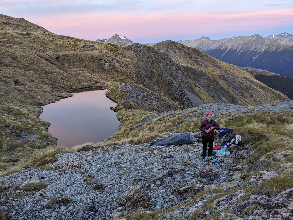
If I had been by myself, I’d probably have stayed at Ranger Biv, but Emma convinced me to keep going to a tarn behind pt1666. The tops are well accessible, just a bit scrubby at places, which slowed us down a bit. Finally, after almost 11 hours, we reached the tarn, which was truly fantastic with many good tent spots. Emma claimed a bench close to the tarn; I claimed one a bit further up. We took some photos and went to bed early.
The following morning, we got up early, climbed back onto the ridge, and headed towards pt1713. Pt1740 looked bluffy, so we slid along it to pt1640. We continued along the gentle, tussocky tops to Forest Peak, from where we took its south ridge down. The travel was pretty good, and we even found signs of an old track. In the lower parts, we dropped into the creek a little too early, I think, and it might have been better to stay on higher ground. If you follow my GPX, from between the 700-750 contour, try to stay on higher ground and don’t drop into the creek. As you can see on my GPX, we soon had to climb back up into the slopes because the creek has a series of uncrossable waterfalls.
Once back at the Poulter River, we crossed it and followed the track to the Turnbull Biv exit to bag Turnbull Biv. This route is unmarked all the way to the gorge where marking starts. The gorge is quite hard to see, actually; it’s kind of hidden, and we didn’t see it until we were right in front of it. The gorge had a decent amount of windfall, and the bottom parts of the access track were washed away, so it took us a while to find it. Once we climbed onto the north bench of the gorge, it was just a wee flat stroll to the biv. It’s a very nice-looking hideaway with endless tenting spots (and also wasps and sandflies). On the way back to the Casey-Binser track, we actually struggled a bit to cross the Poulter River. The water levels were surely a bit higher than expected, and we walked about a kilometre downstream until we found a suitable spot for crossing.
Once on the track, we got our wings back and crossed Binser Saddle in no time (at least compared to the slow-going river travel… it was still a 12-hour day). It was an amazing day out. I really enjoy long days like that, and Emma is an amazing, easy-going companion who pushed me both to the tops and to Turnbull Biv, for which I’m grateful. Thanks, Emma!
Stats:
Andrews Shelter – Casey hut – Ranger biv – a tarn on Poulter Range – See NZ Topo Map
26.6 km, 10h 45min, 1700 m ascent
A tarn on Poulter Range – Forest Peak – Poulter River – Turnbull biv – Binser Saddle – See NZ Topo Map
33.8 km, 12 h, 1300 m ascent
Participants: Michal Klajban, Emma Rogers
Tramped on 18-19th November 2023.
Photos
Heading towards Casey Saddle 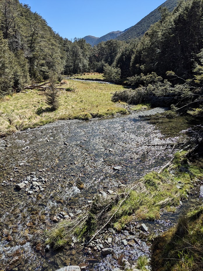
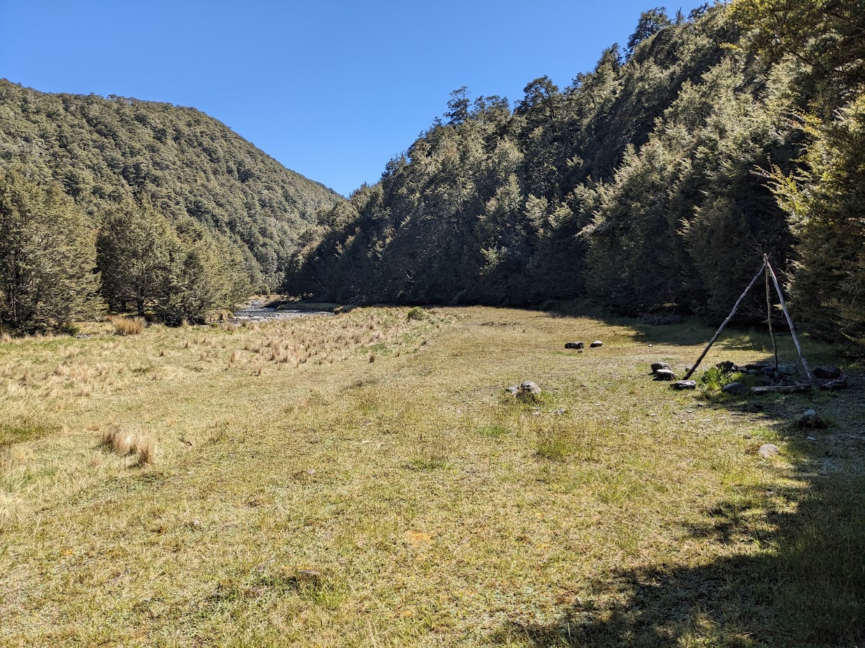
Hallelujah Flat 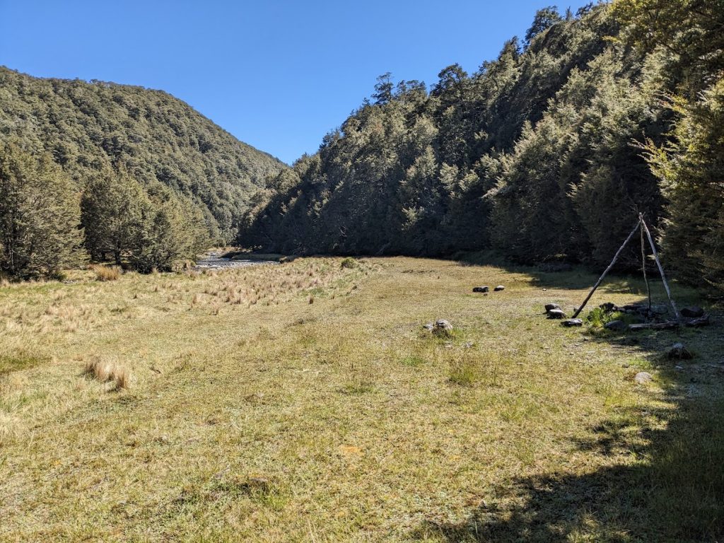
Campsite at Hallelujah Flat 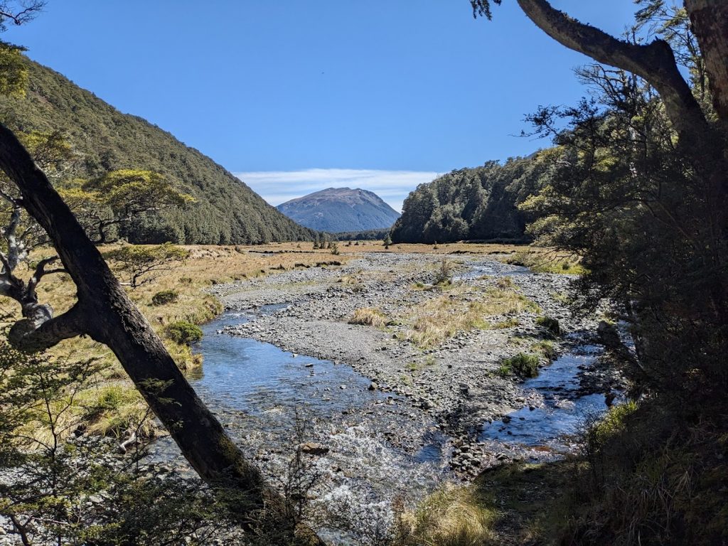
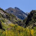
Castle Hill 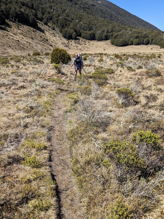
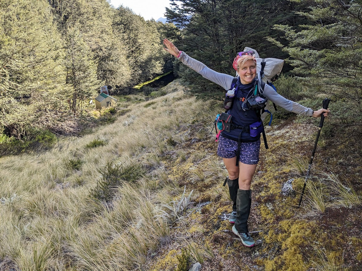
Happy Emma 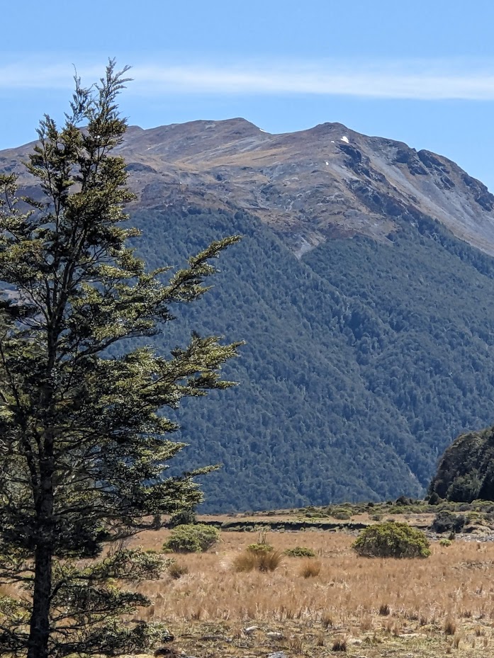
Castle Hill 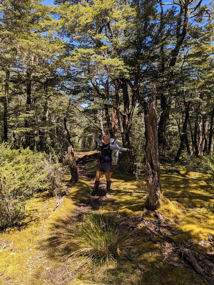
Another happy Emma 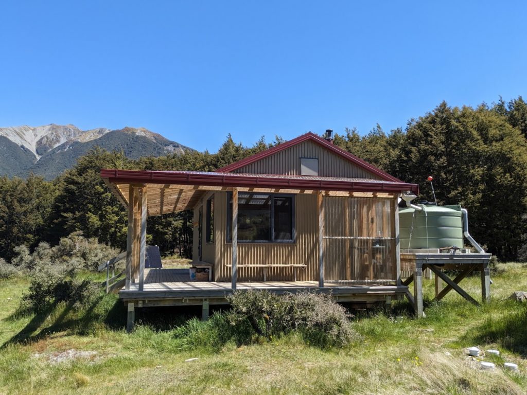
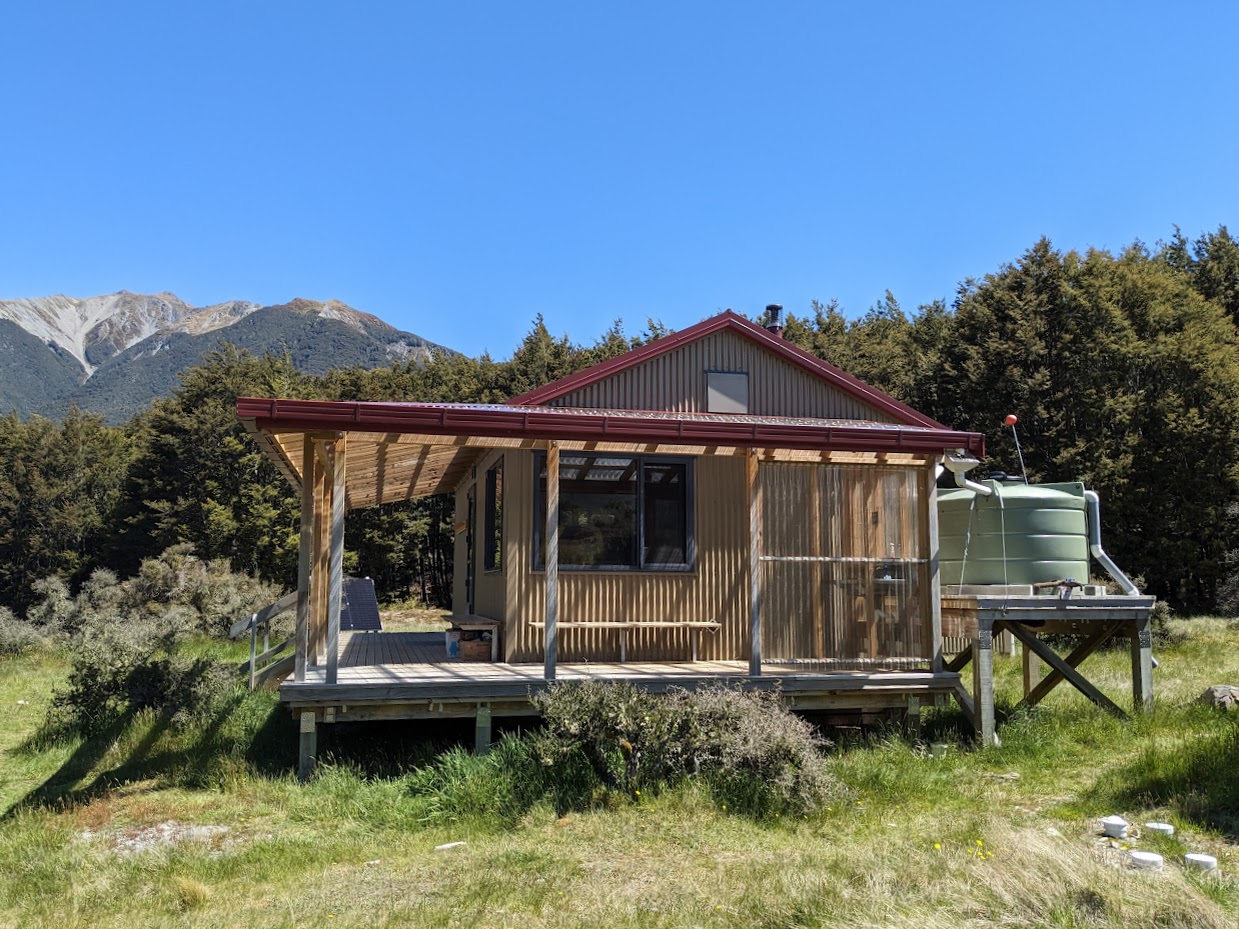
Casey Hut 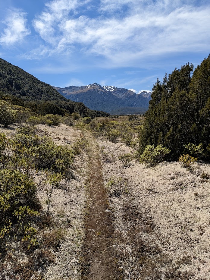
Coral Lichen (Pulchrocladia retipora) 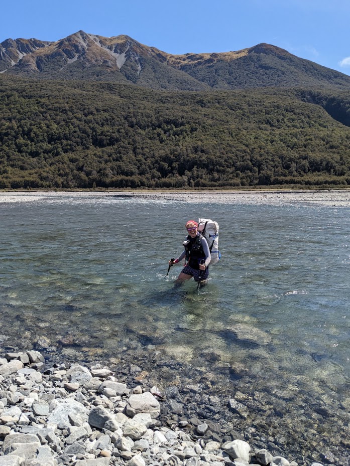
Emma posing during Poulter River crossing 
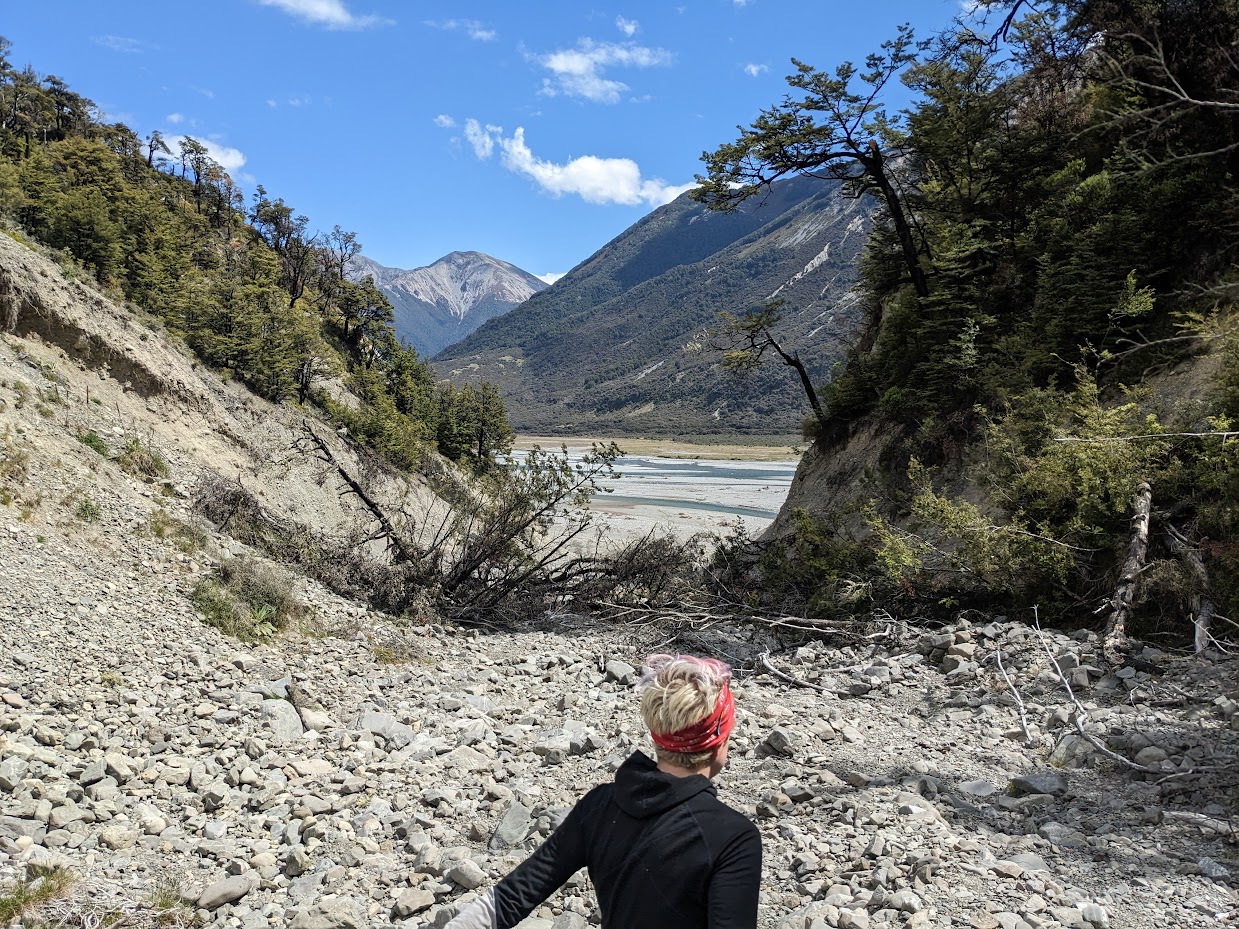
Gorge at Fenwick Stream where Ranger biv track starts on its TR 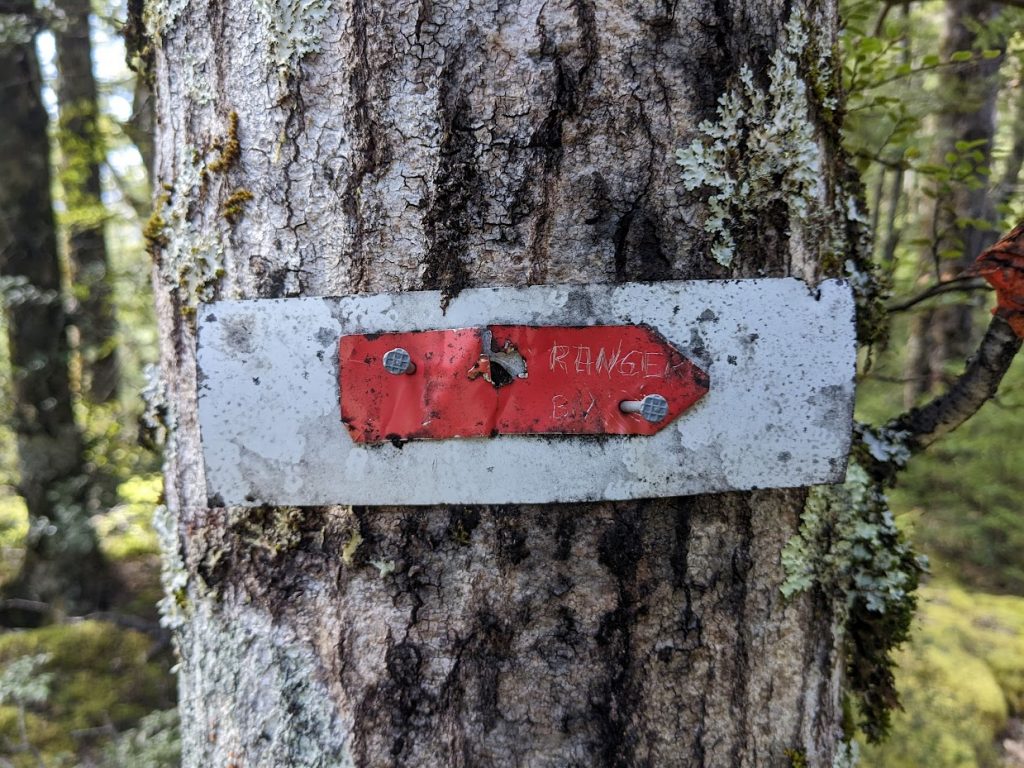
Permolat marker 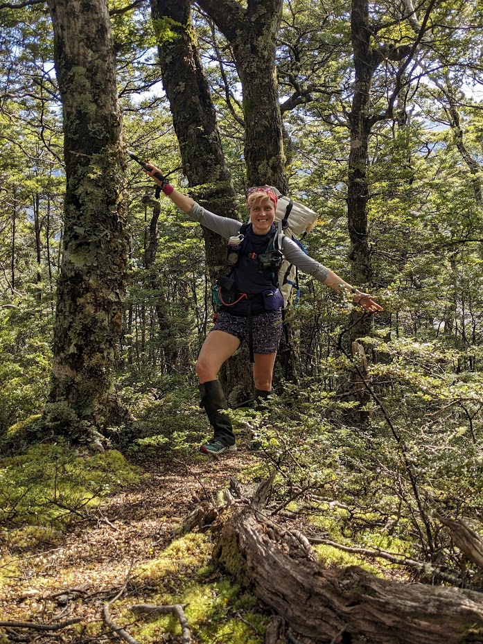
Emma – guess what, posing 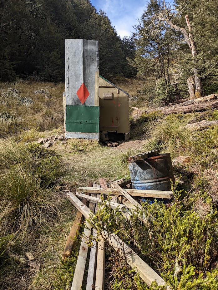
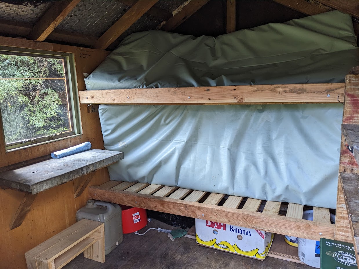
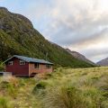
Range biv 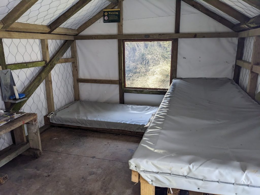
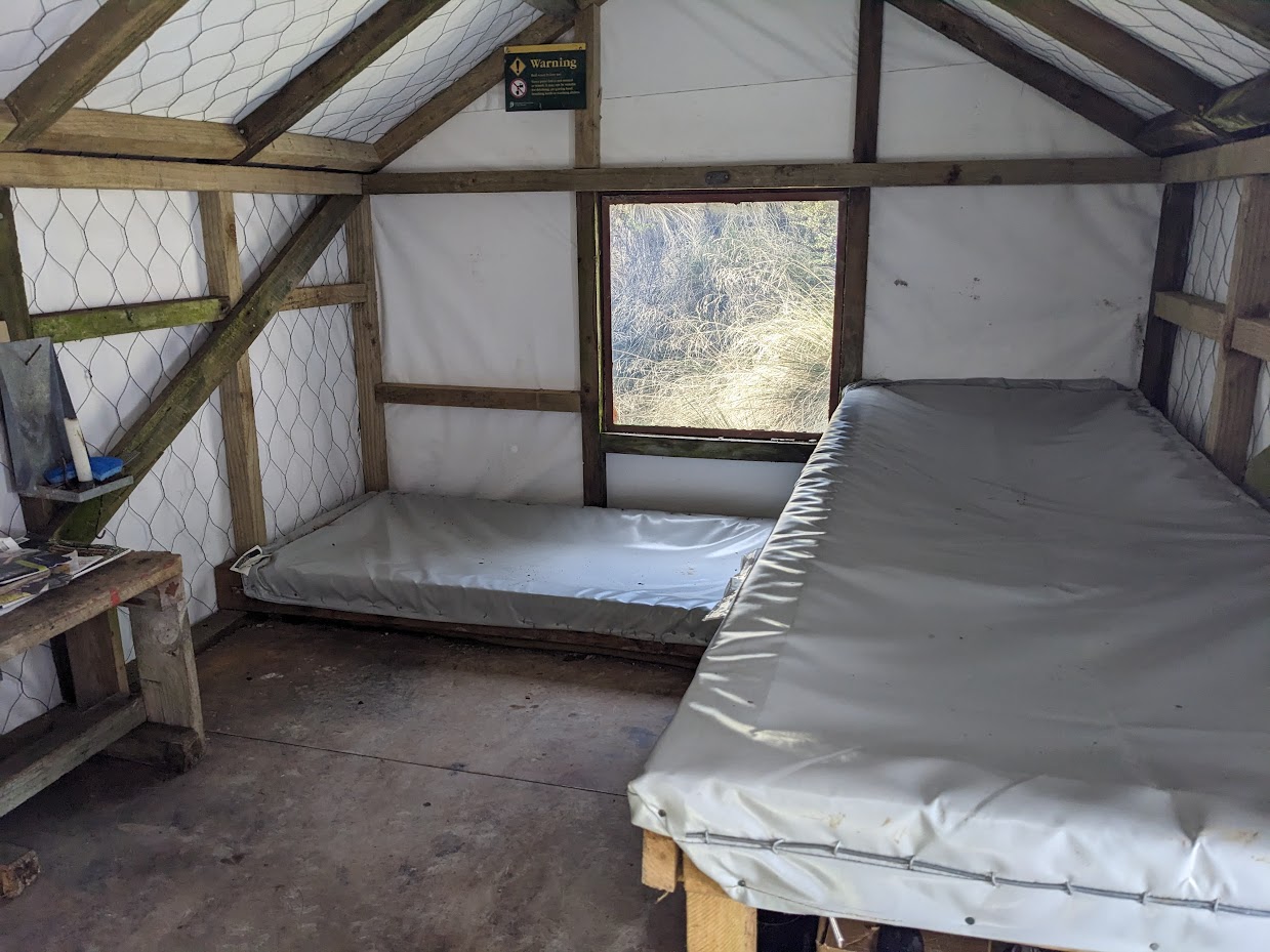
Range biv inside 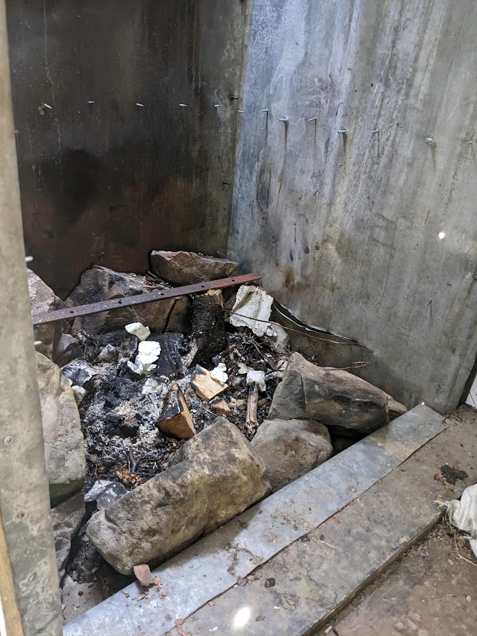
Range biv has got an open fire inside 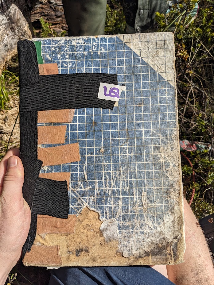
And ond old hut book 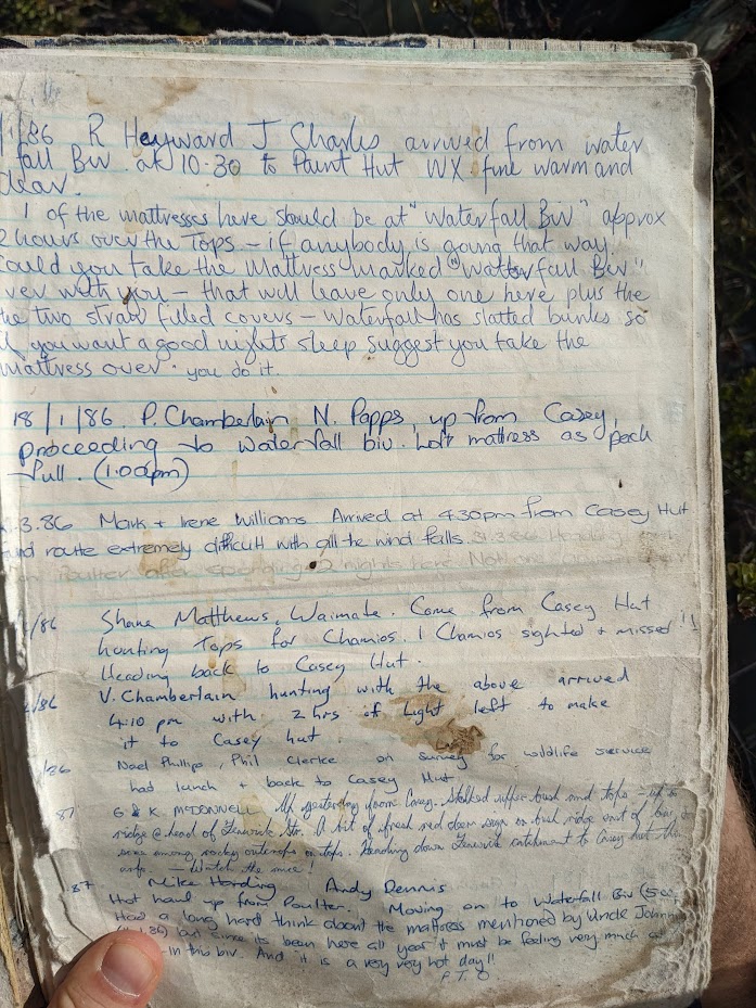
from 1986. Before I was born even 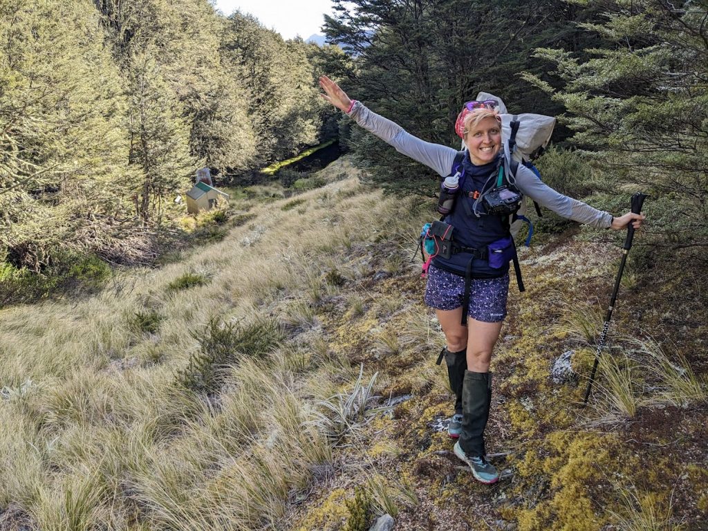
Emma with Ranger Biv 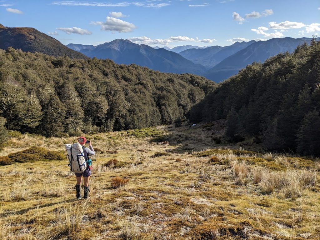
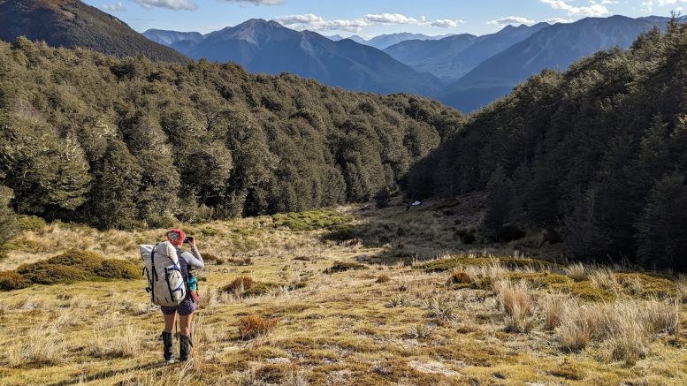
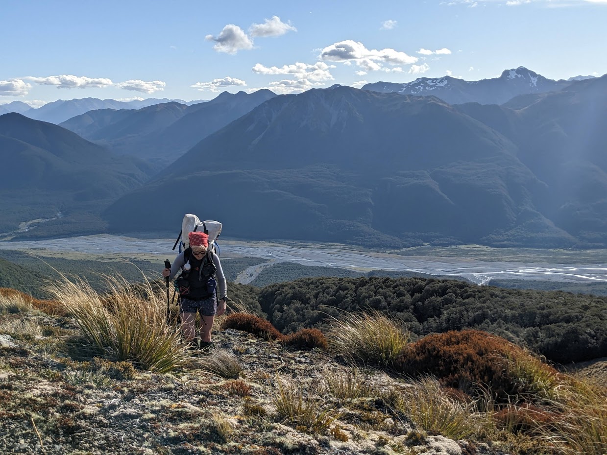
Heading to the tops 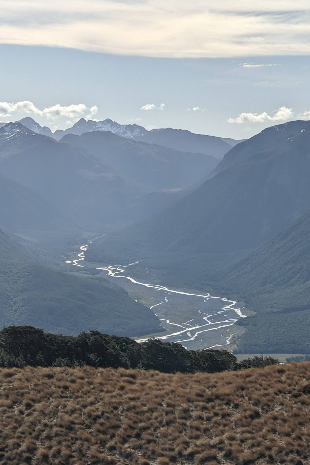
Scenic sunset above Poulter River 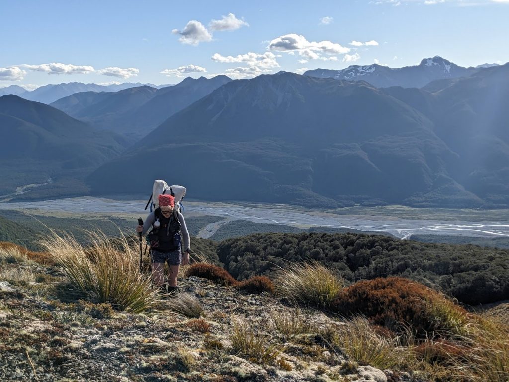
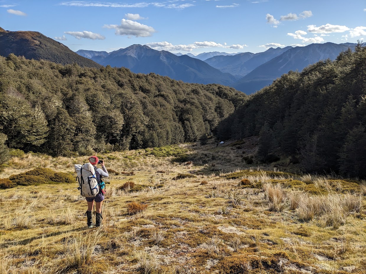
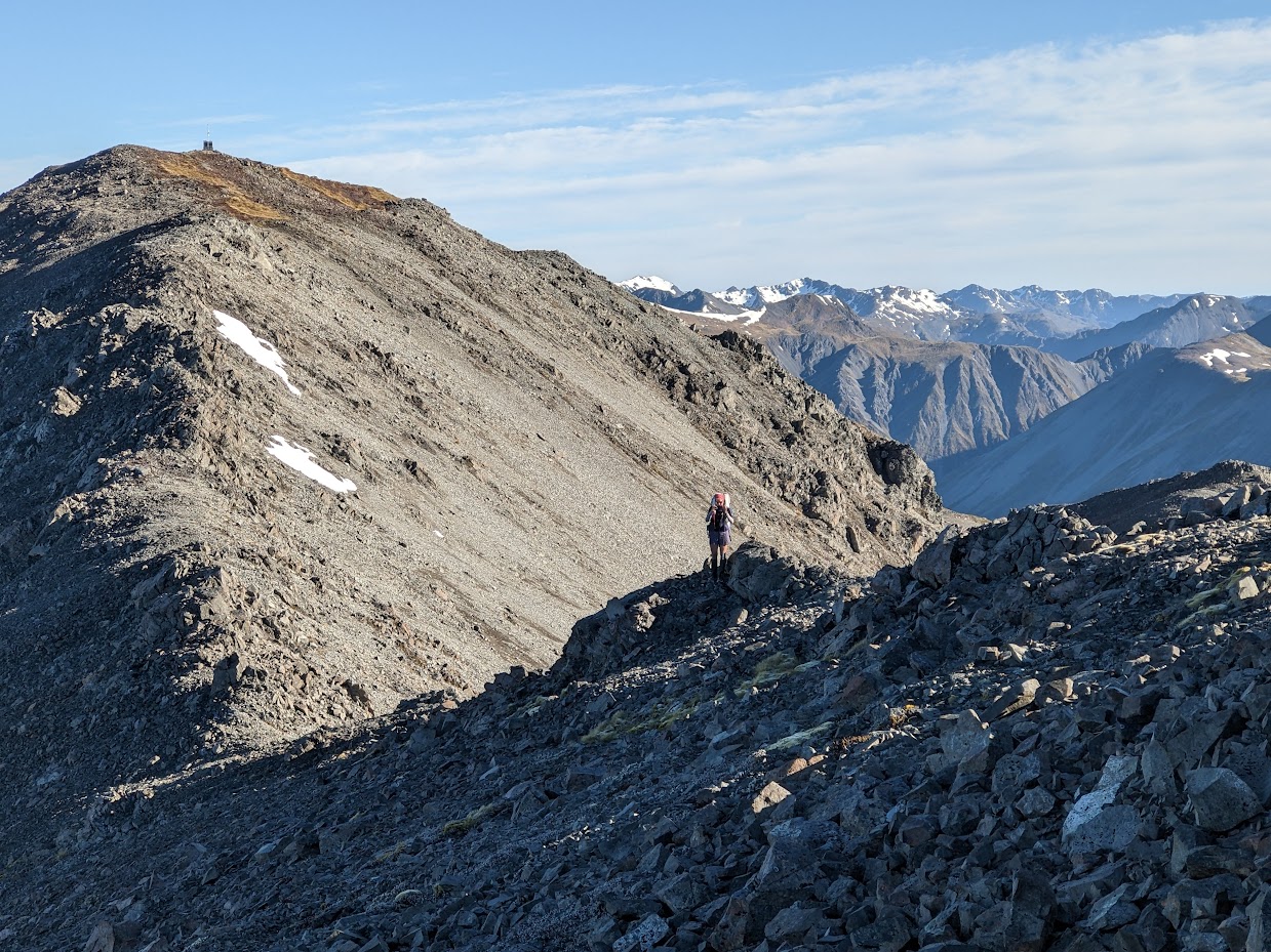
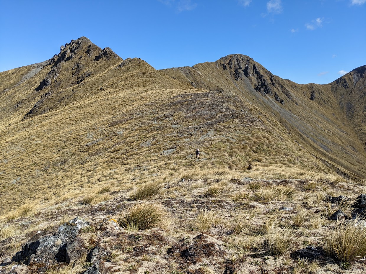
Travelling along Poulter Range is quite straightforward 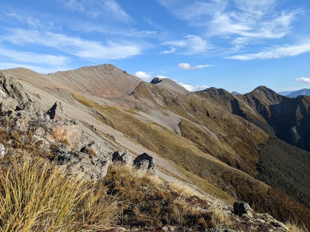
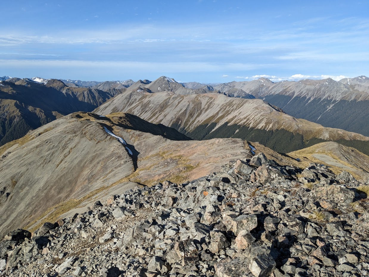
Poulter Range tops 
Poulter Range tops 
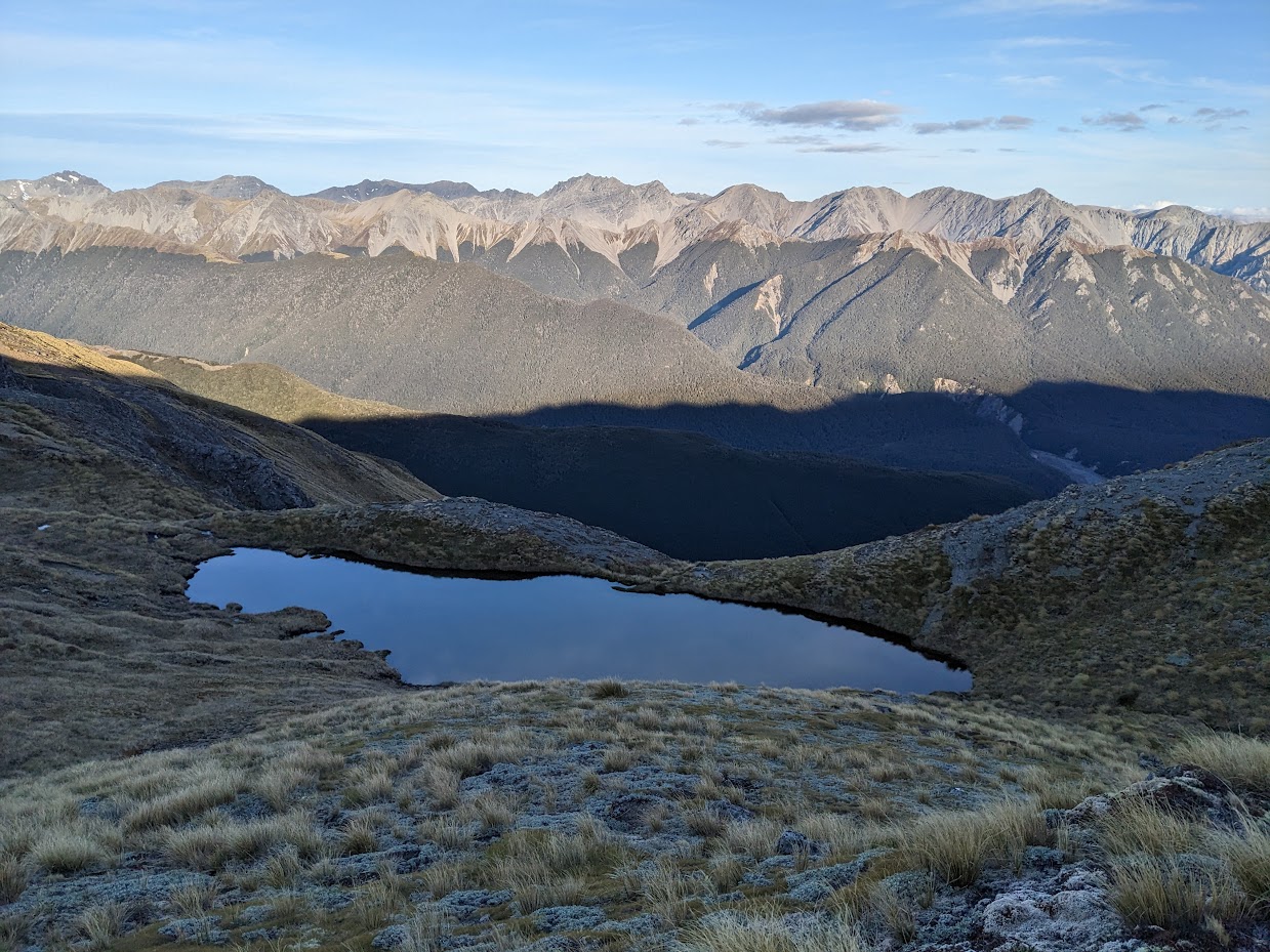
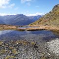
Tarn East of pt1666 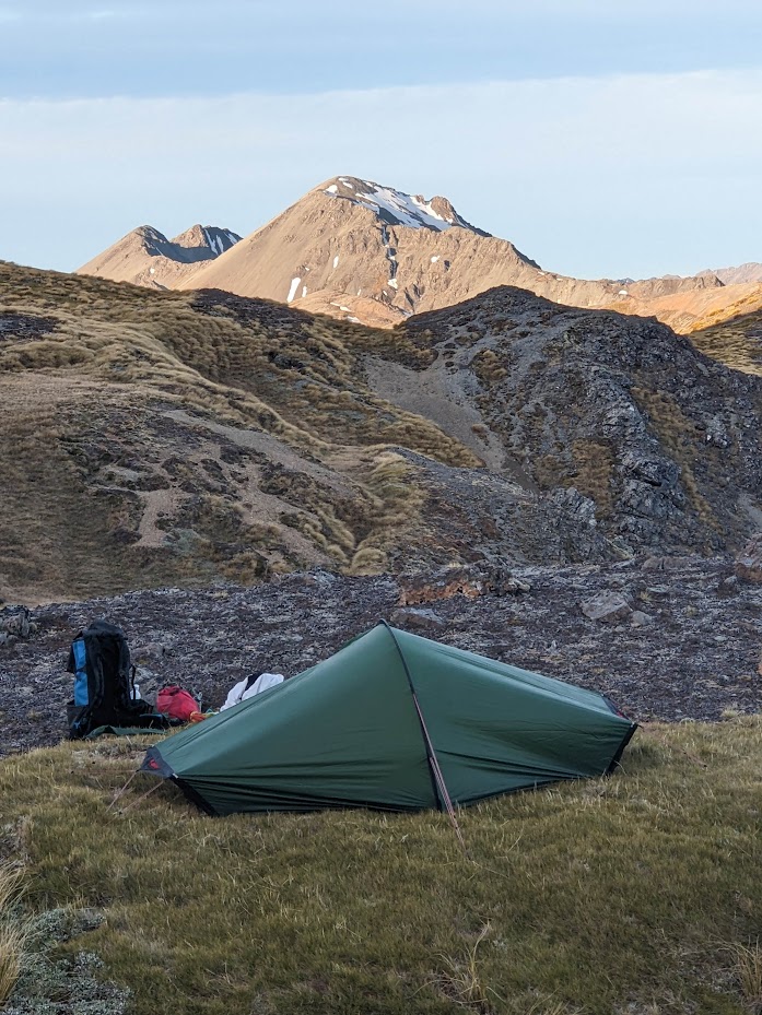
My tent 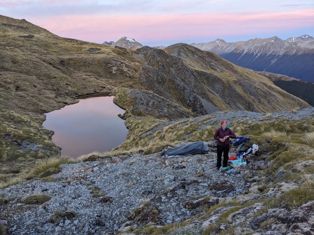
Emma’s at her happy place. Tarn during sunset 
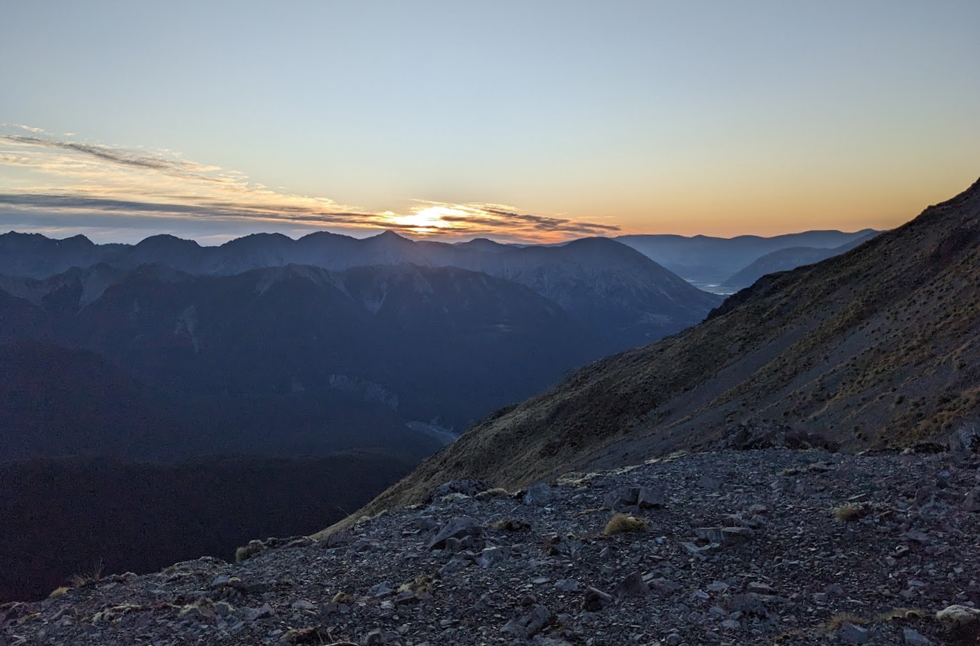
Susnet over Cox River Valley 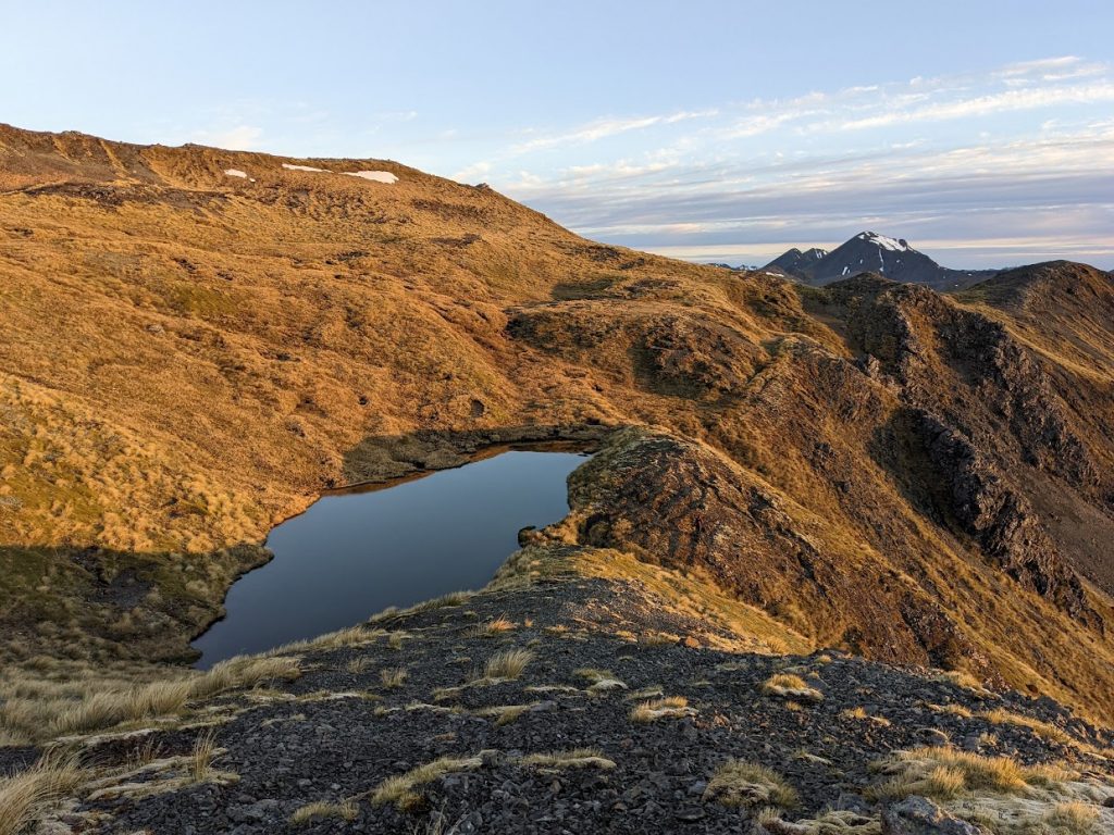
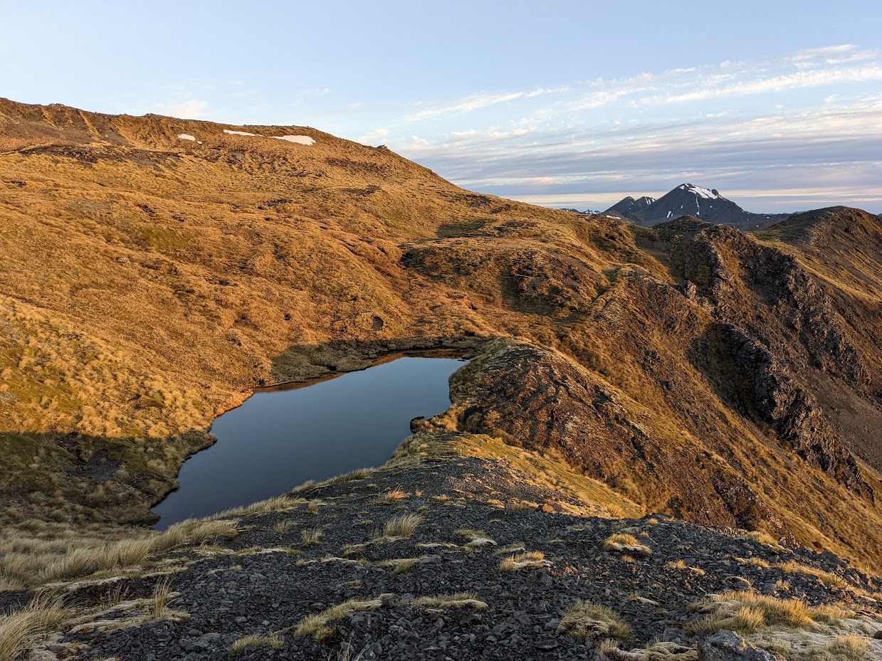
Tarn during sunrise 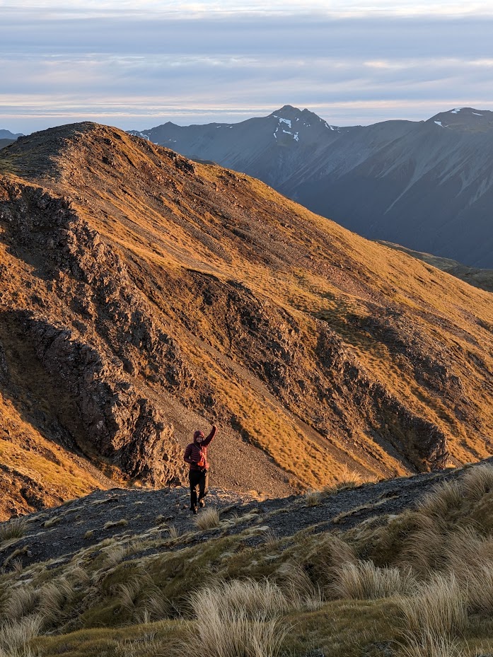
Emma during sunrise 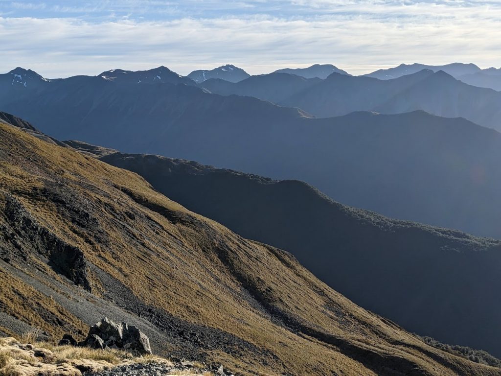
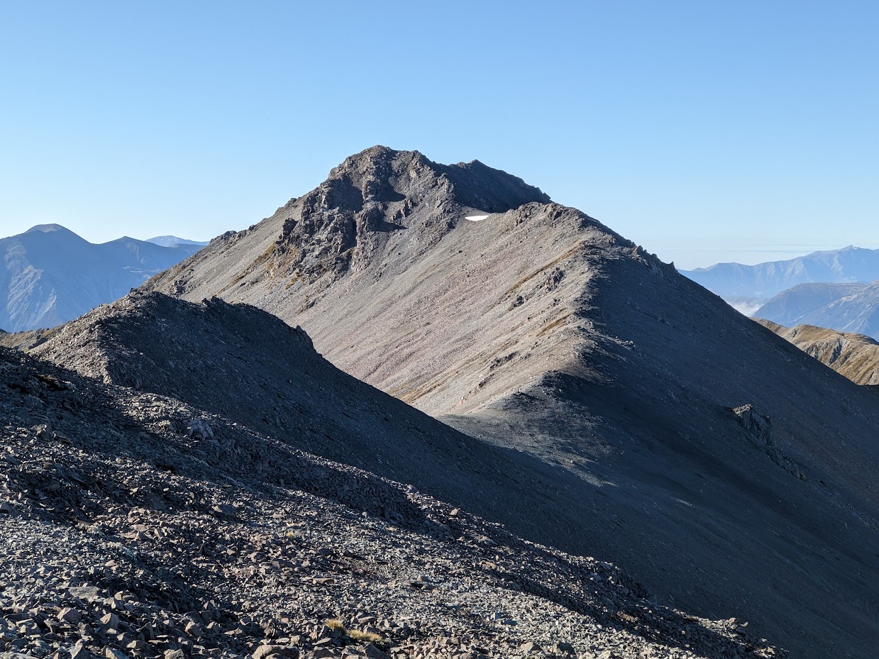
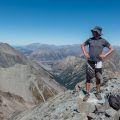
Tops 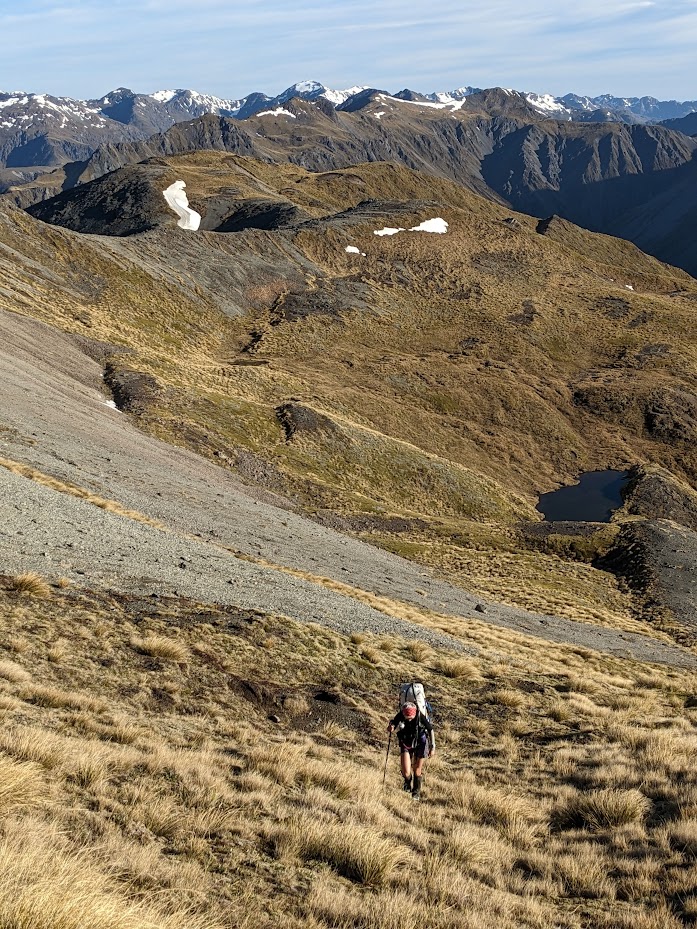
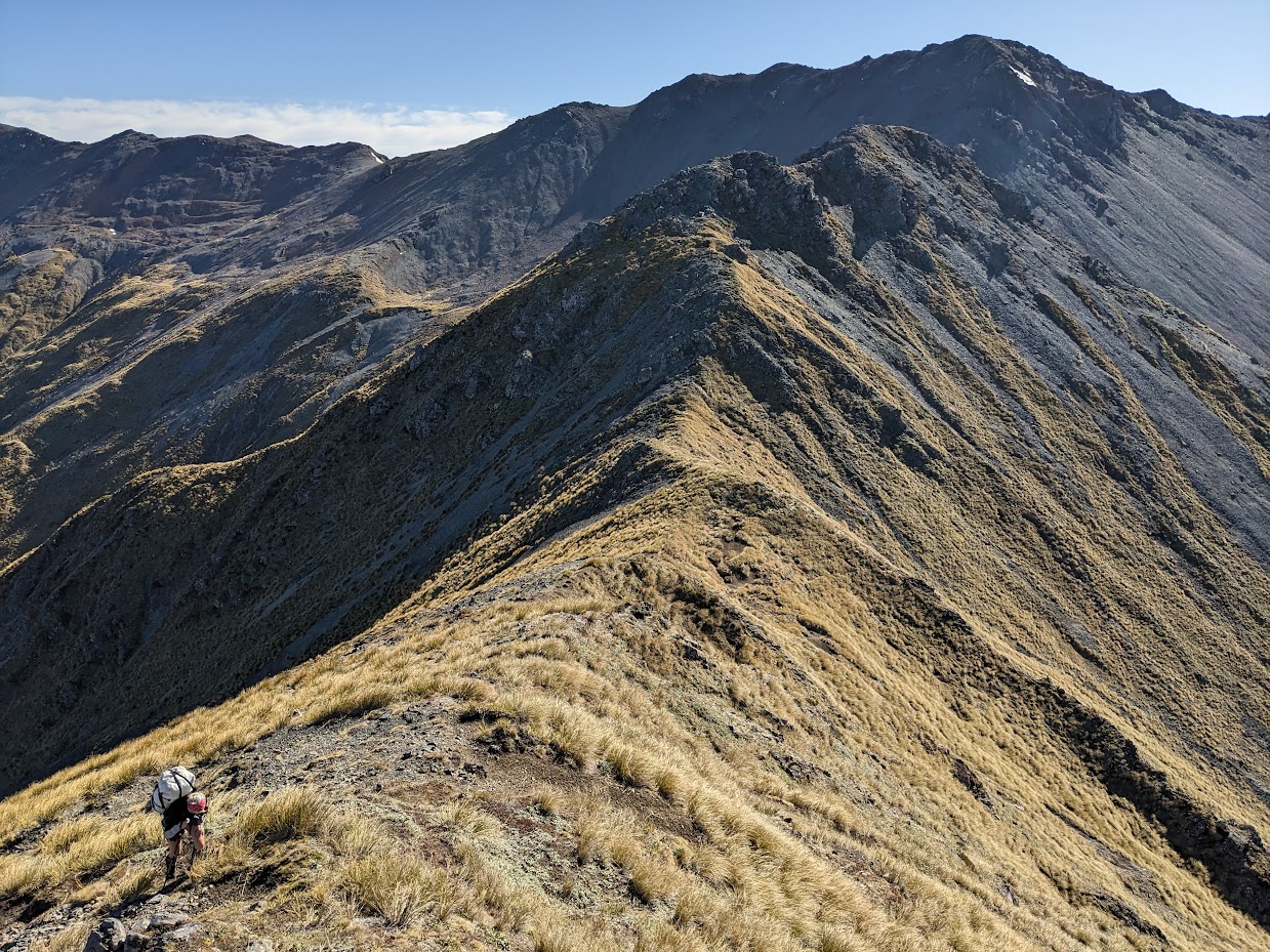
Heading back to Poulter Range tops 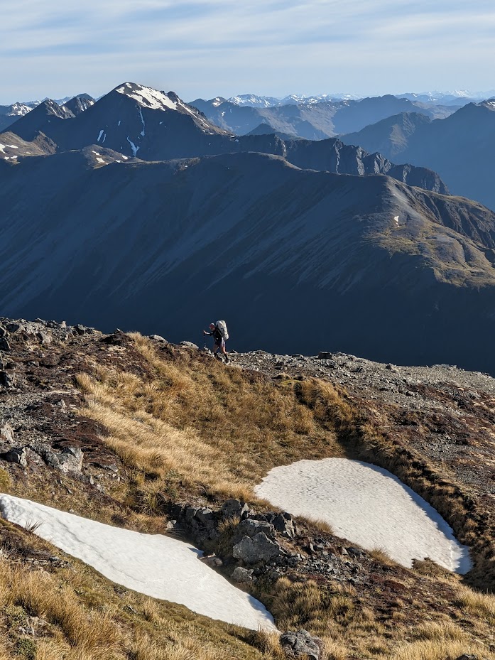
Along Poulter Range tops 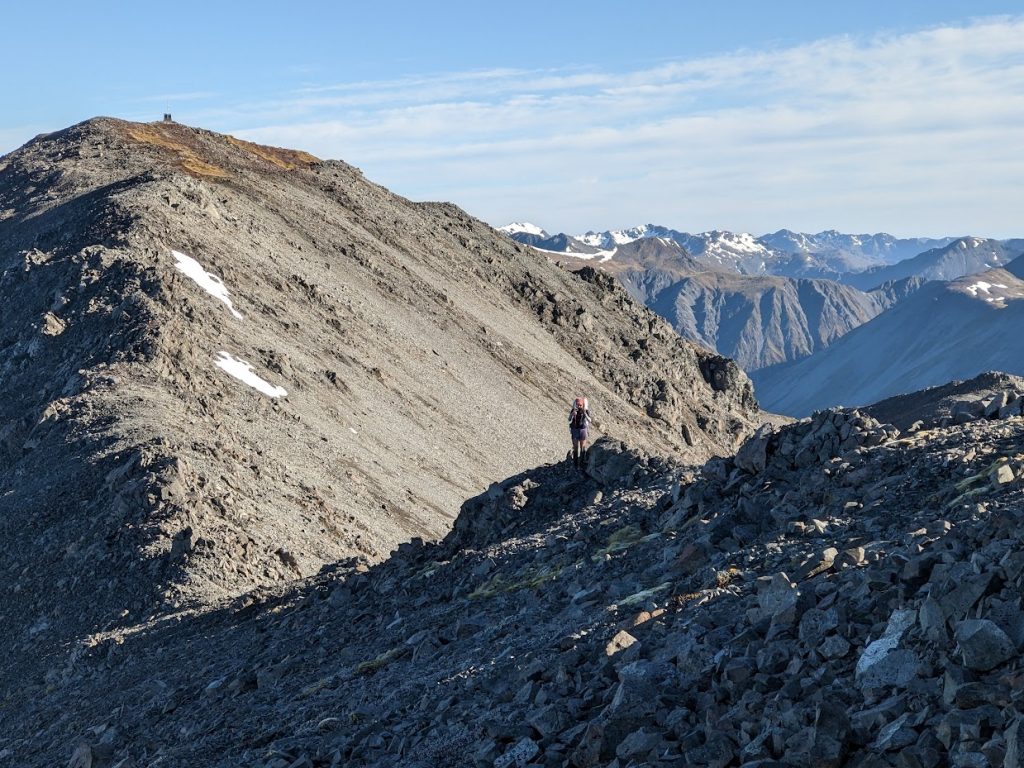
Along Poulter Range tops 
Along Poulter Range tops 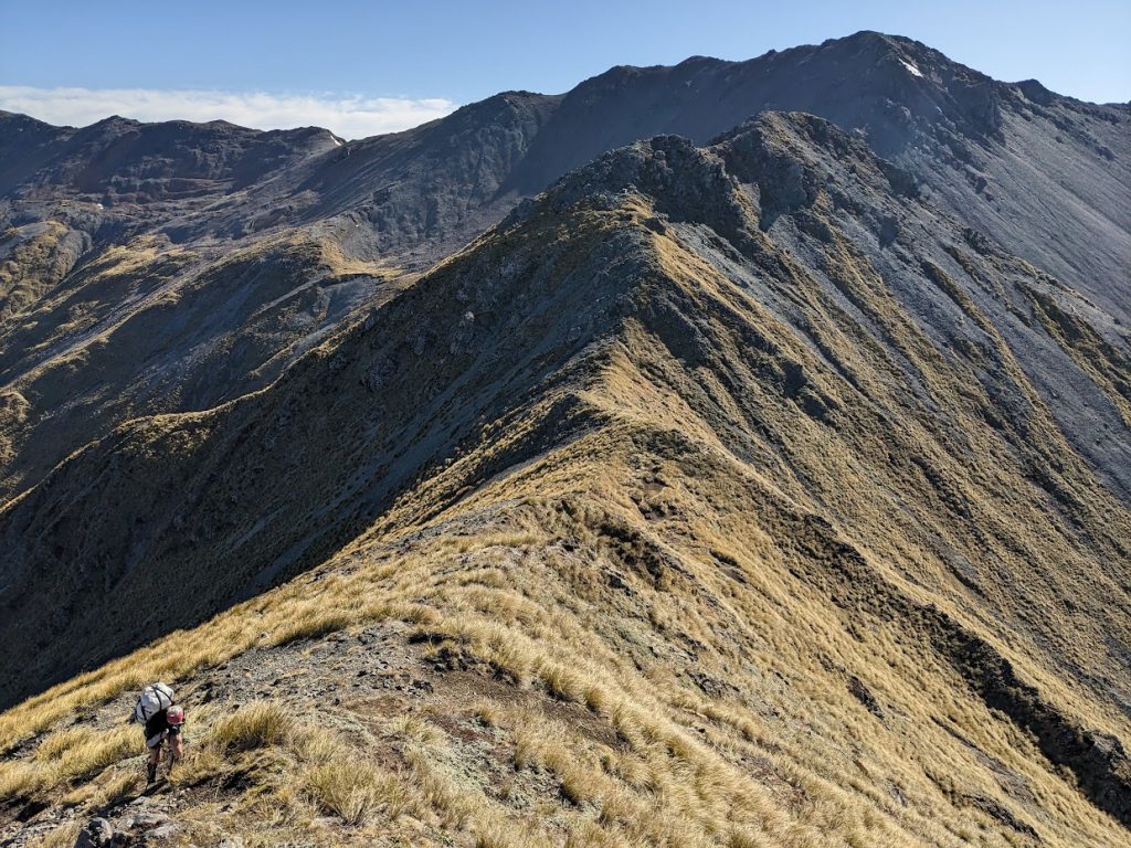
Along Poulter Range tops 
Along Poulter Range tops 
Along Poulter Range tops 
Along Poulter Range tops 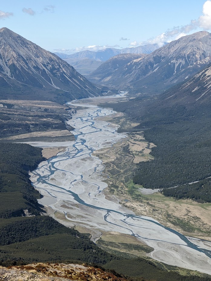
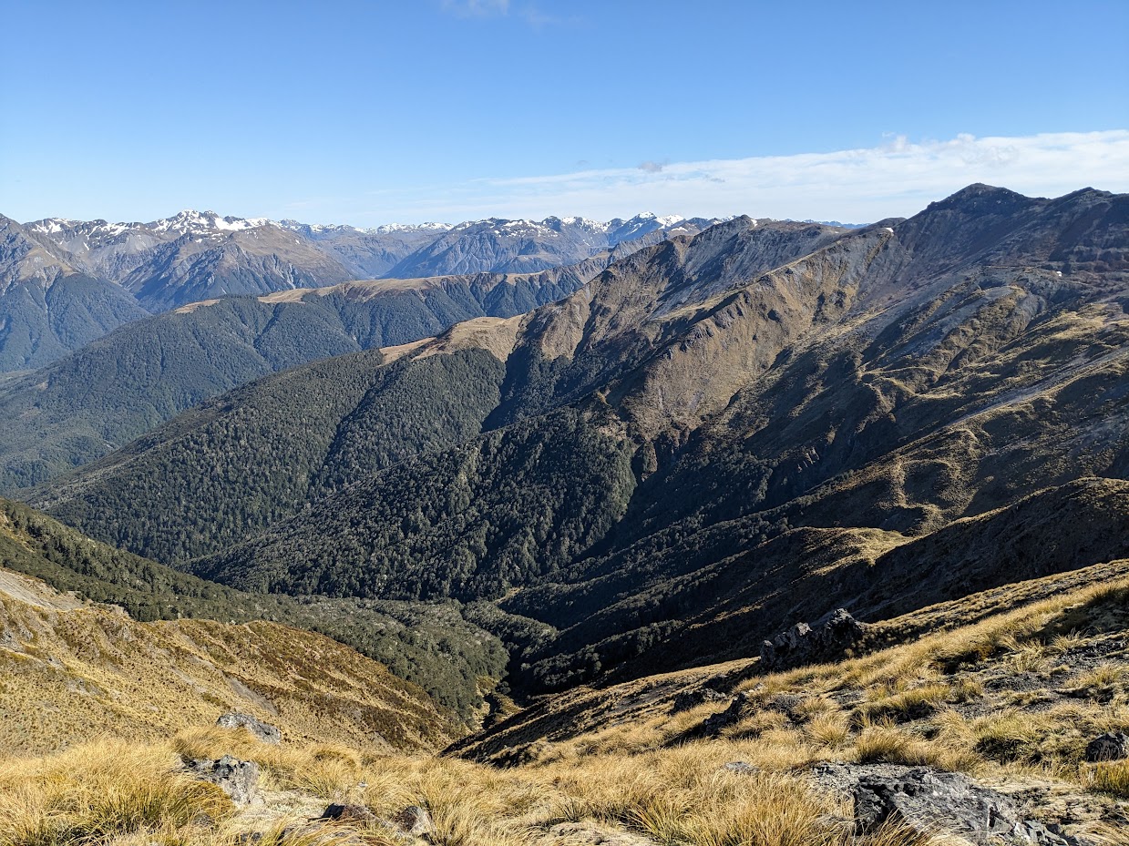
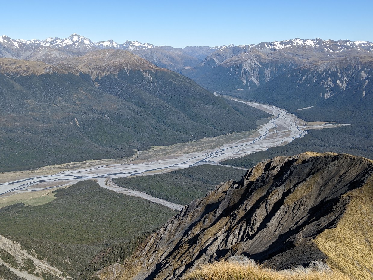
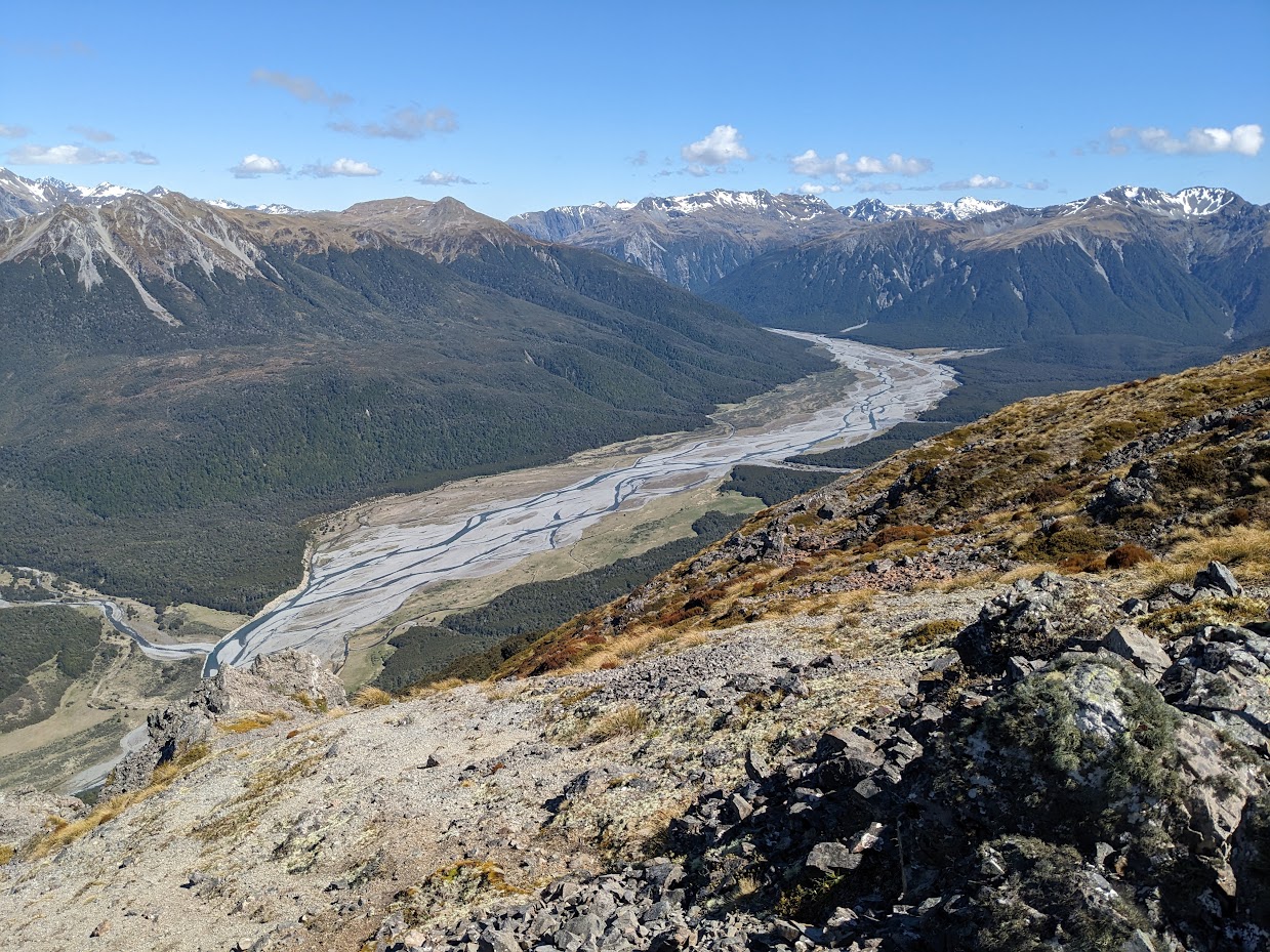
Poulter River from Forest Peak 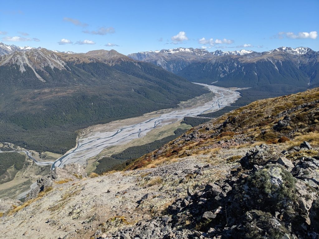
Poulter River from Forest Peak 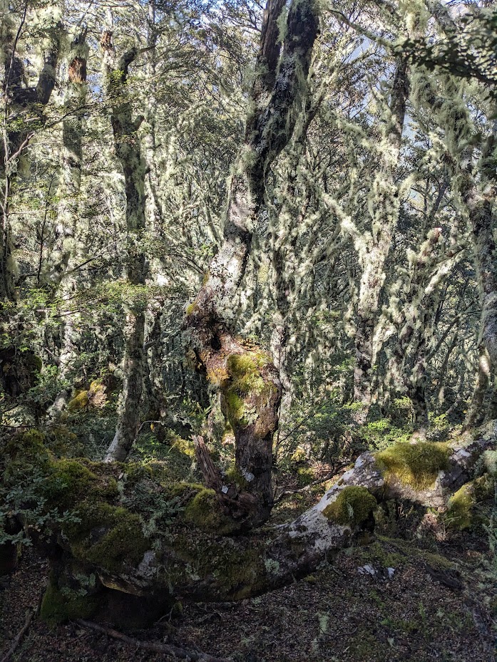
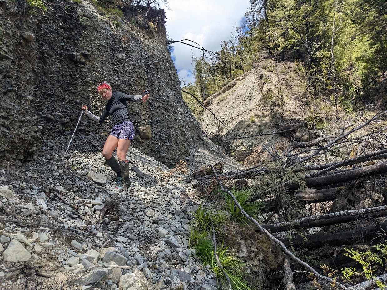
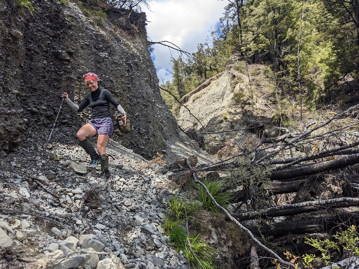
Bushbash down from Forest Peak 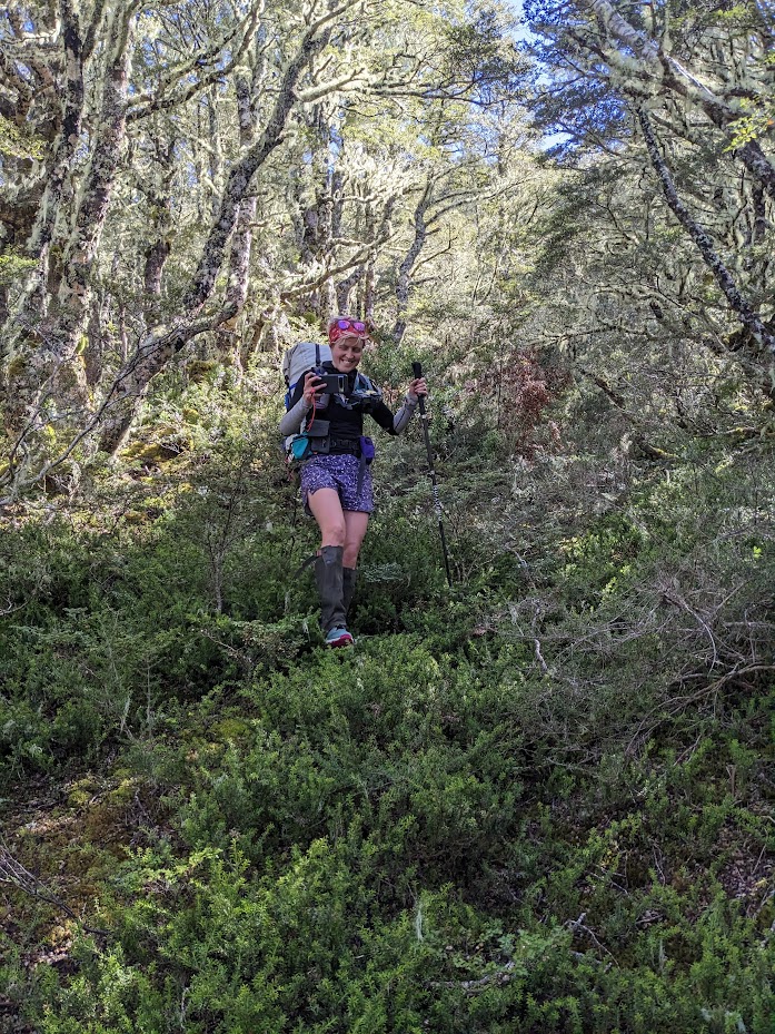
Bushbash down from Forest Peak 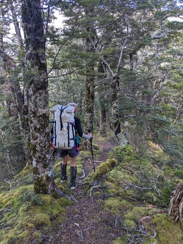
Bushbash down from Forest Peak – pretty good at times! 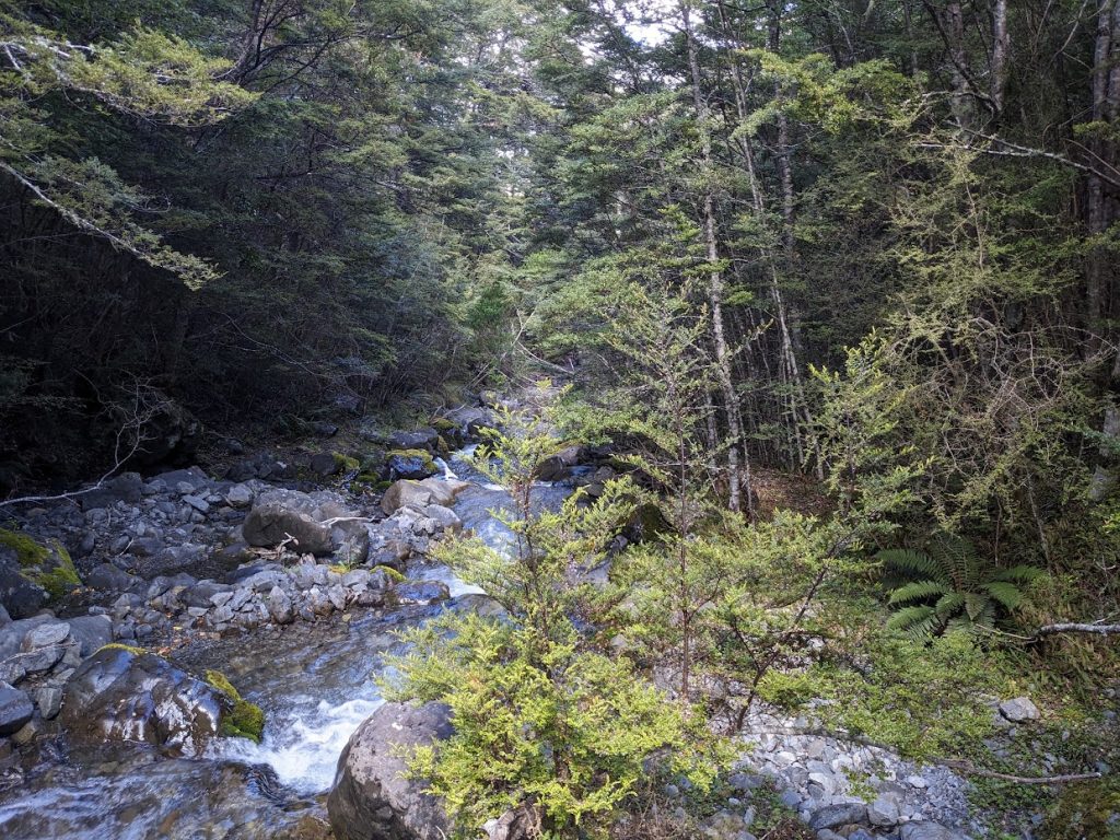
Bottom creek 
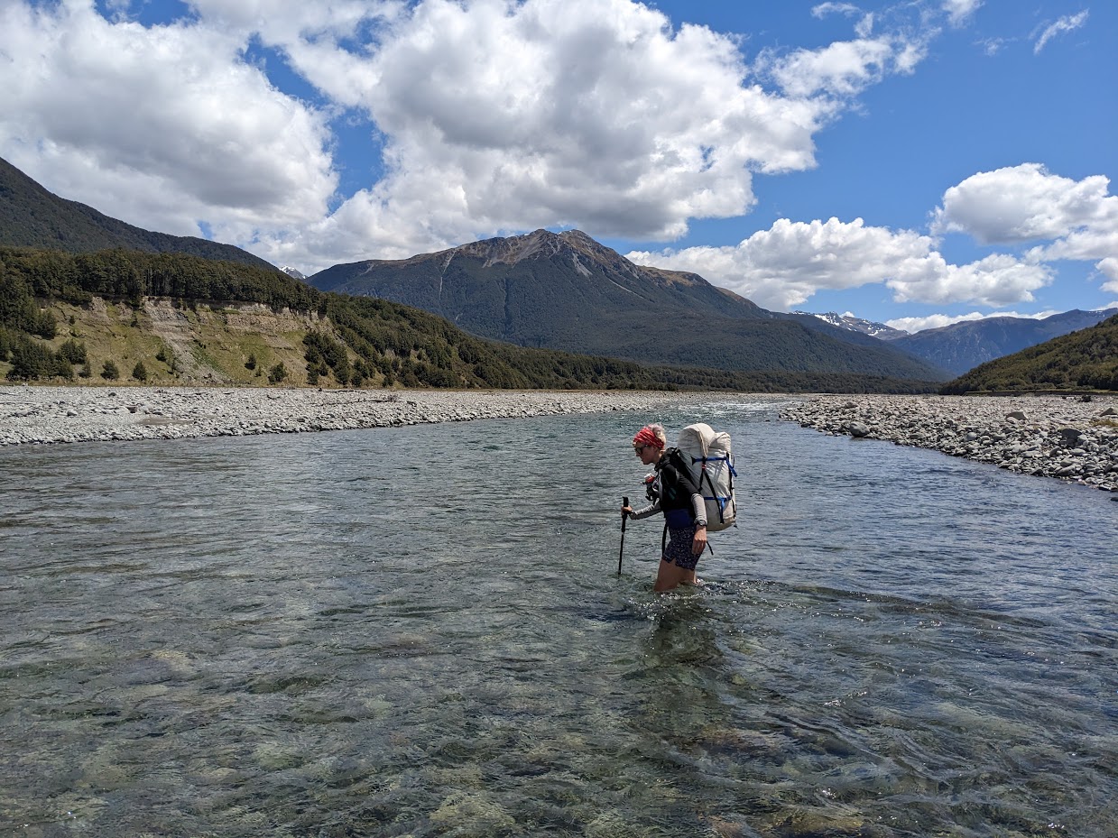
Crossing Poulter river again 
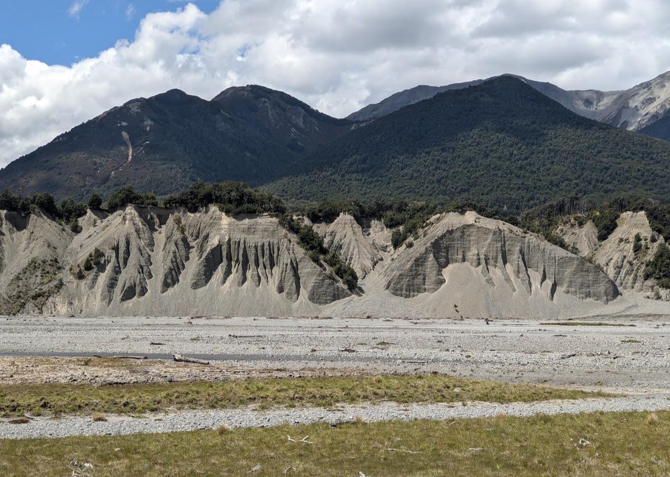
Some impressive rock sediment formations. Turnbull biv is on the top bench 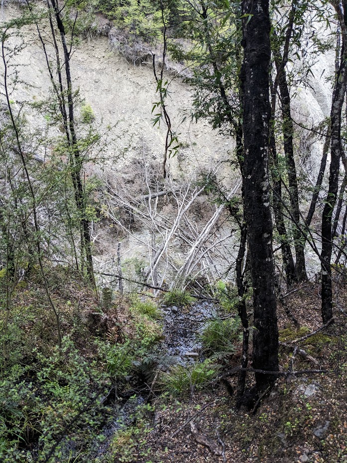
The bottom track to Turnbull biv was washed out when we were there 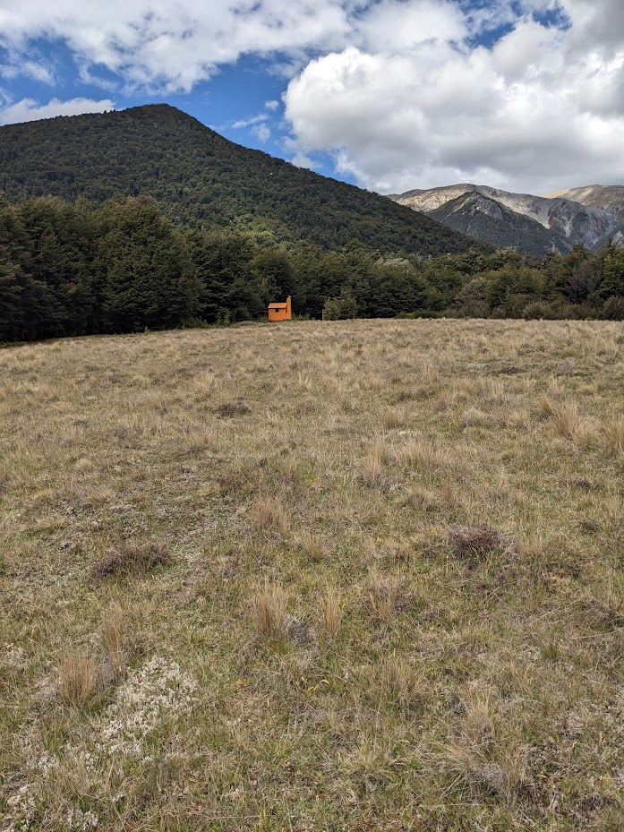
Turnbull biv 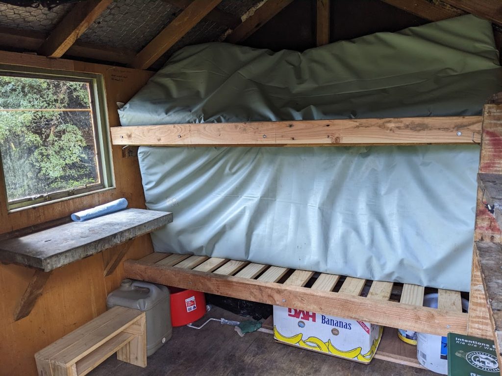
Turnbull biv 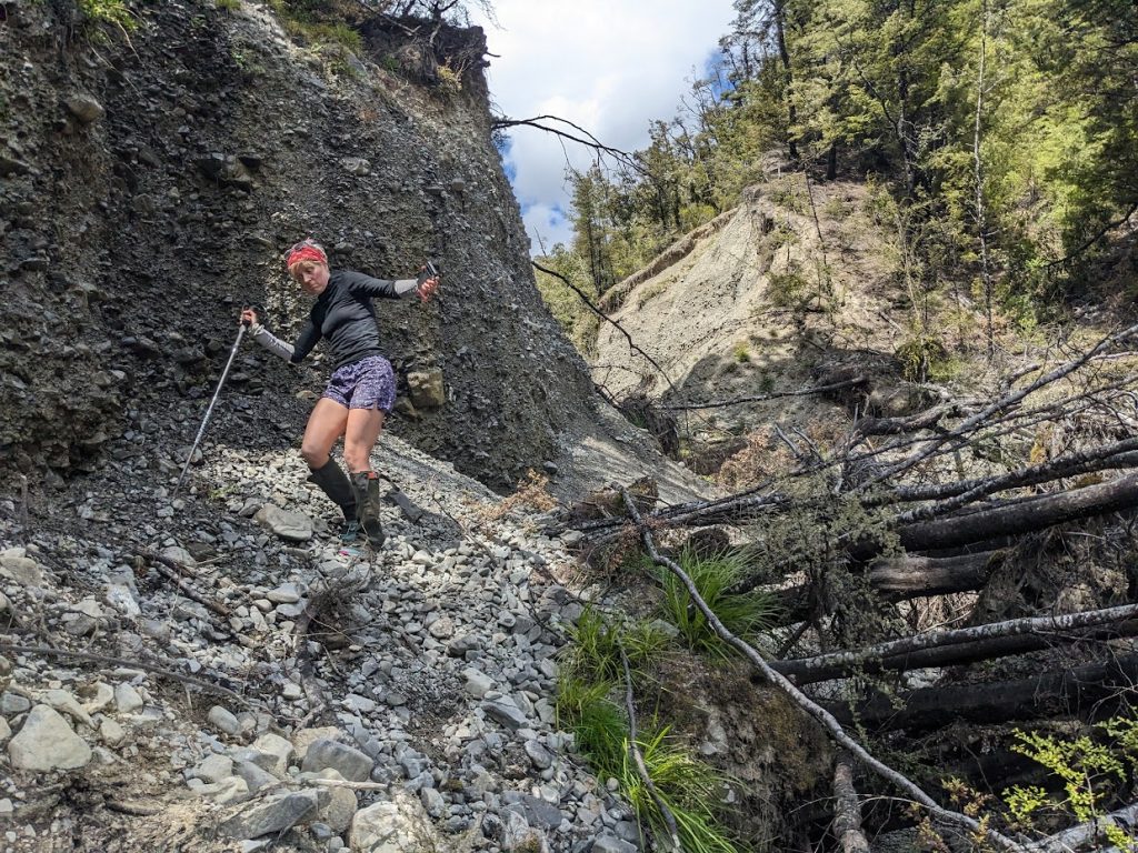
Emma uncertain 
Emma certain 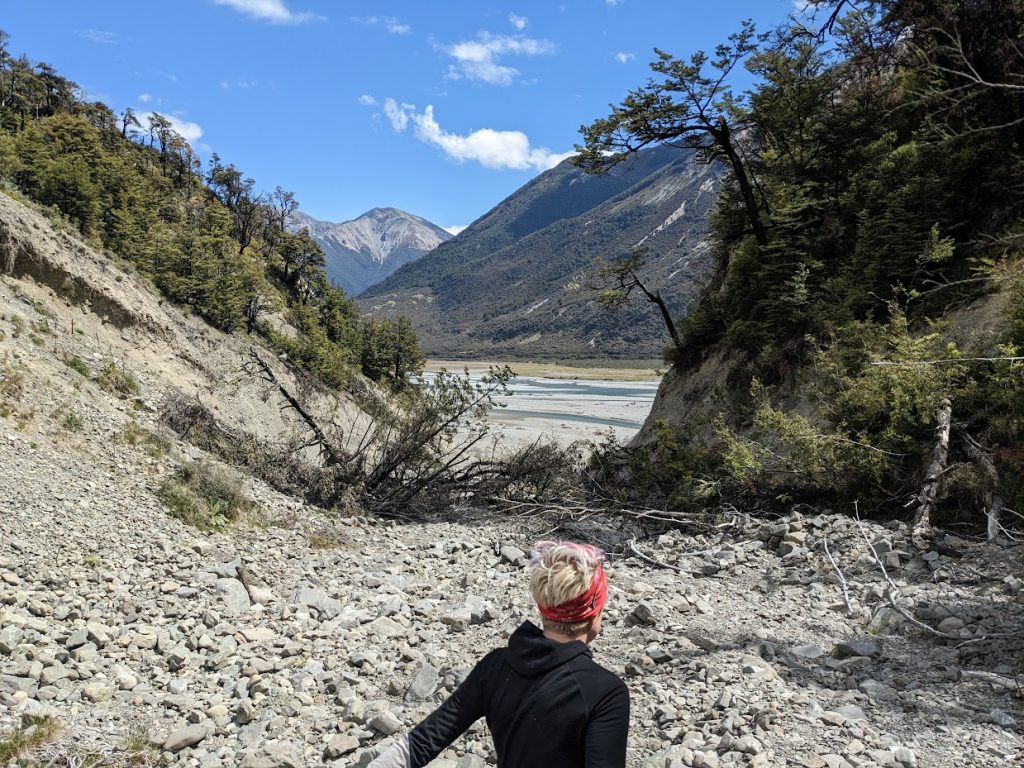
Gorge providing access to Turnbull biv 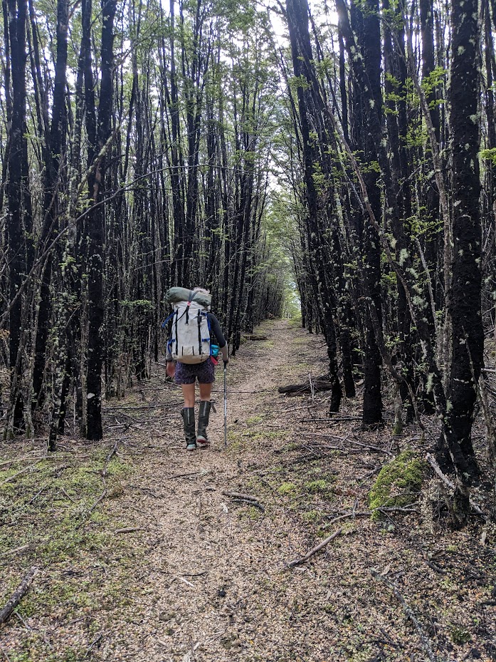
At Binser saddle 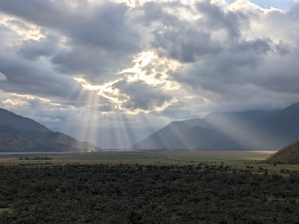
Sun rays 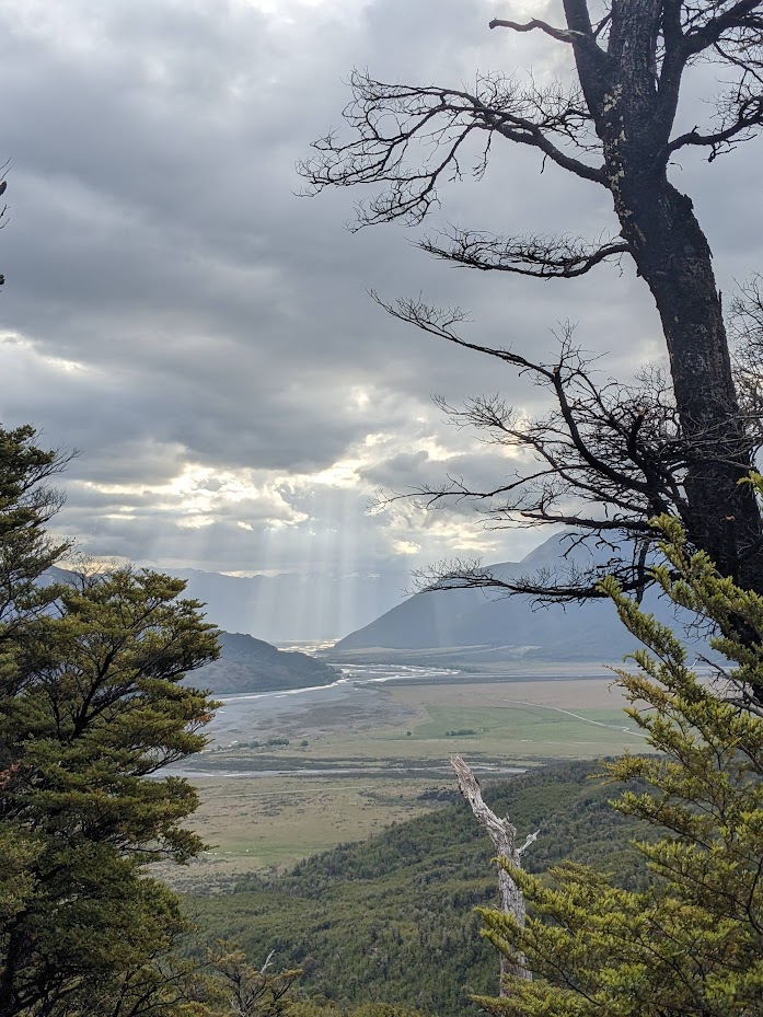
Sunset over Waimak 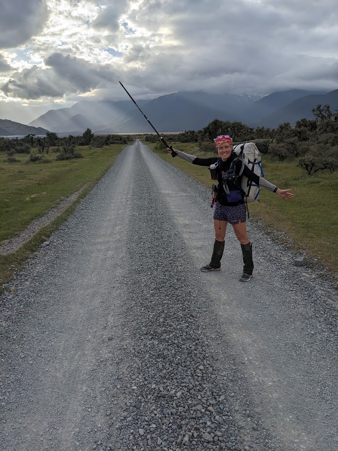
Almost back in the car!


Maps
Max elevation: 1669 m
Min elevation: 541 m
Max elevation: 1720 m
Min elevation: 504 m
Be the first to comment on "Ranger Biv and across Poulter Range, Forest Peak and Turnbull Biv"