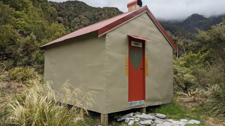
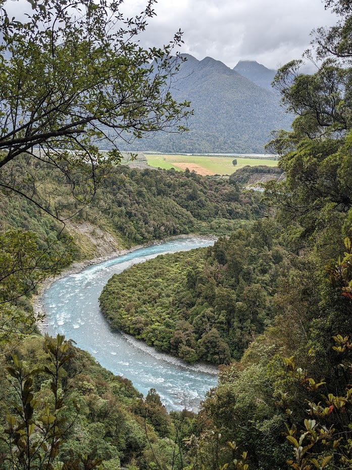
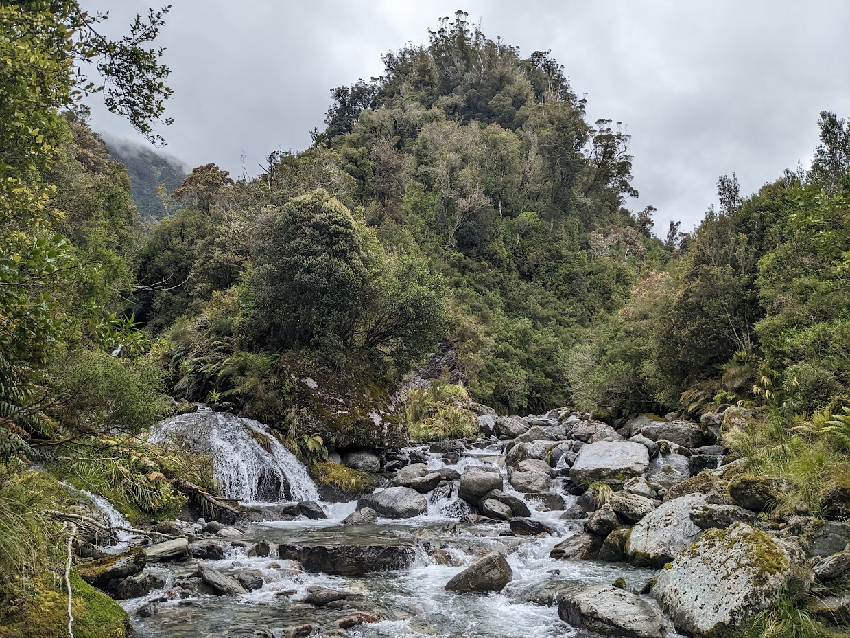
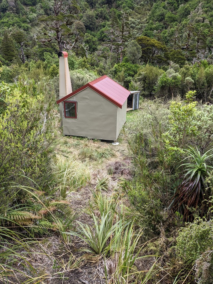
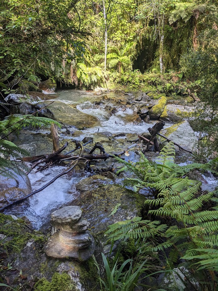
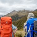
Rocky Creek and Griffin Creek have a great advantage: they provide the West Coast tramping experience without the need to drive too far from Christchurch. The track to Rocky Creek biv starts at a small car park at BU20 6923 6501 / -42.756253, 171.401918. It follows the Taipo River, then crosses a saddle and drops down to Rocky Creek. It’s generally easy to follow, though I did get lost a couple of times, mainly just before the Rocky Creek bivouac when I was following the wrong creek. The Rocky Creek bivouac is a very cute little biv with not much space around for tenting.
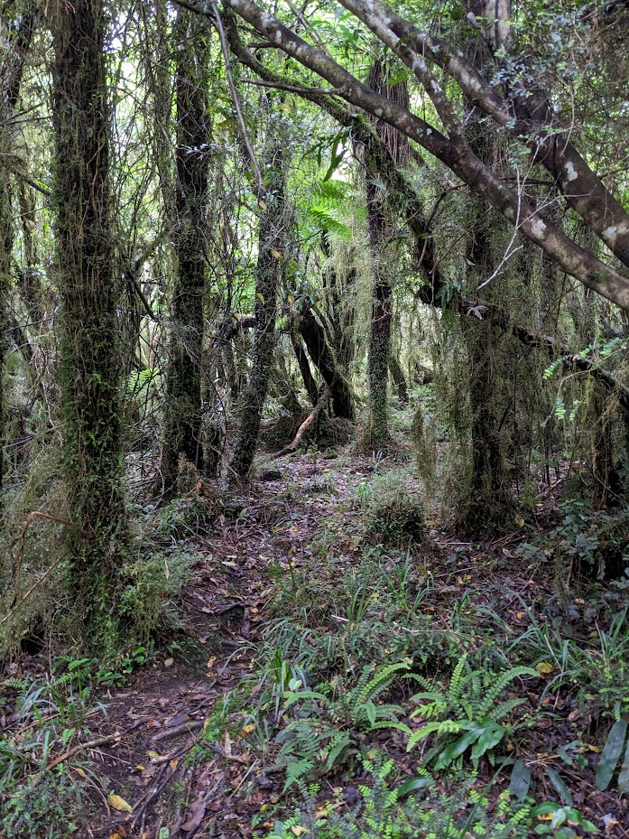
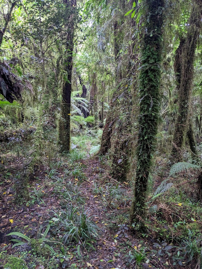
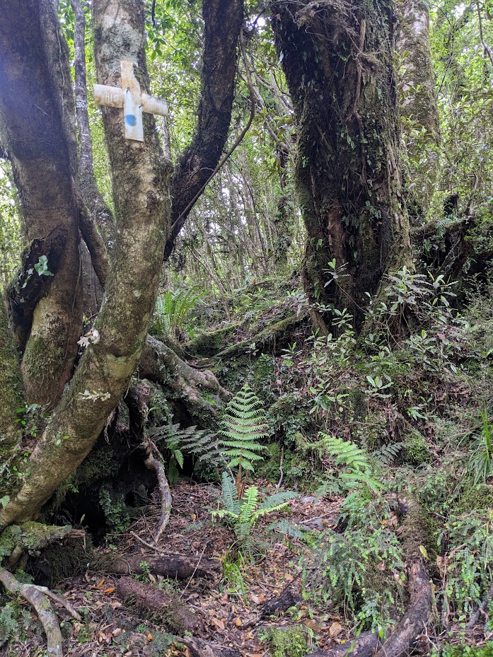
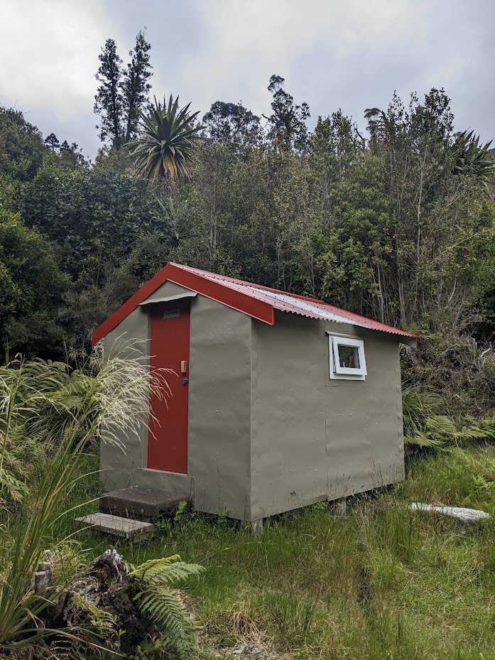
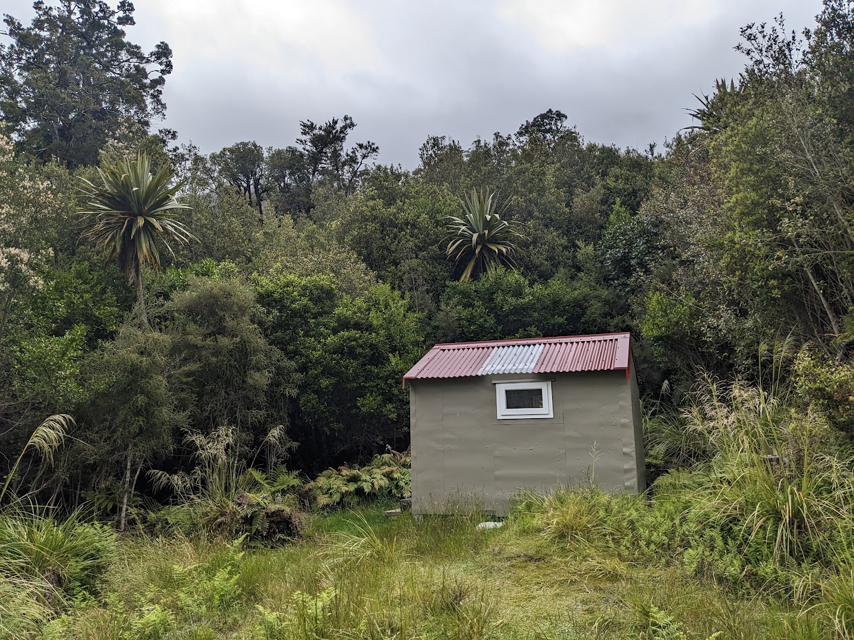
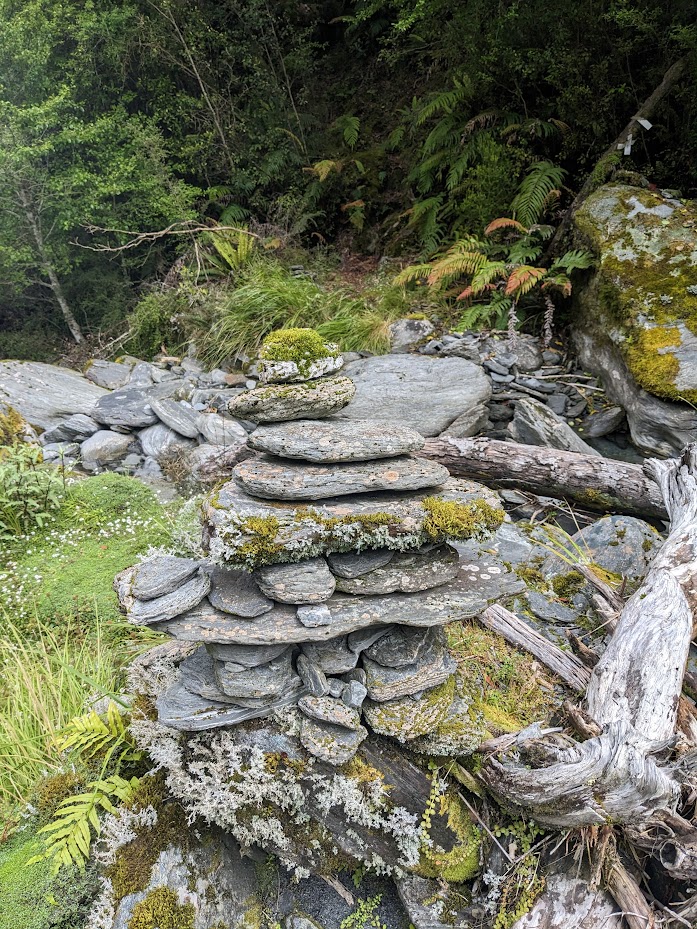
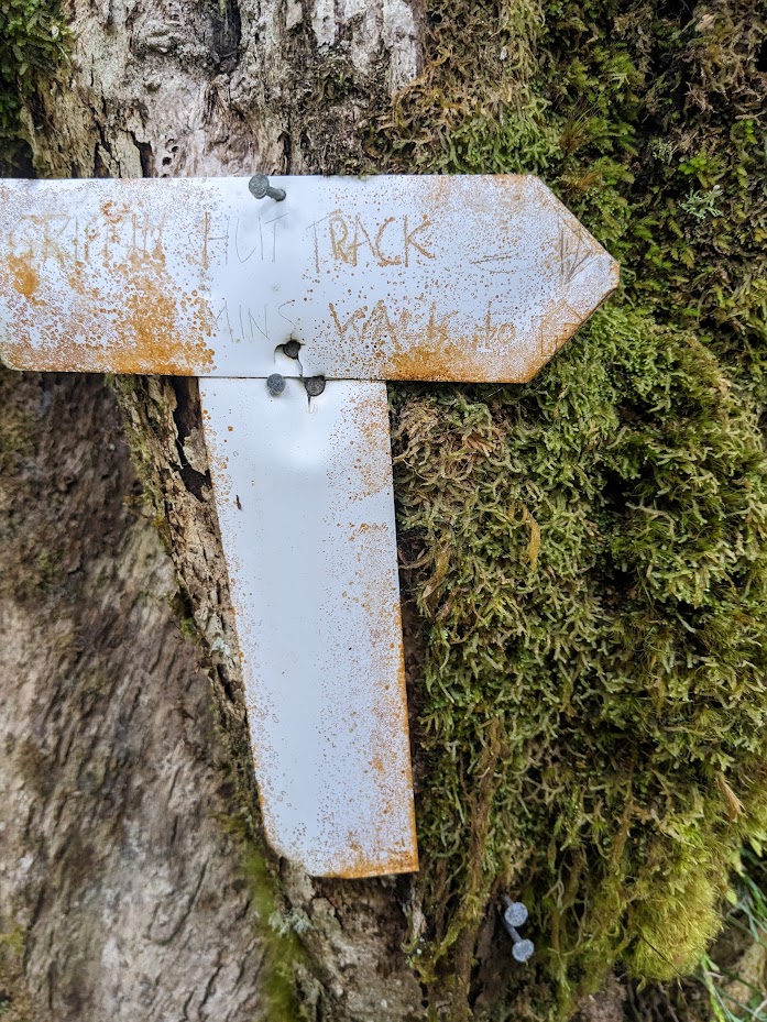
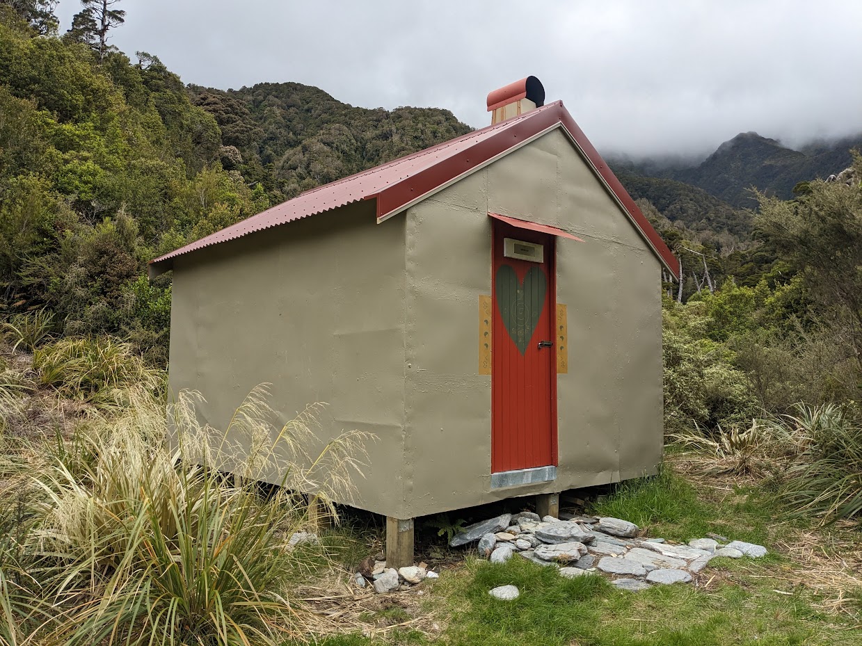
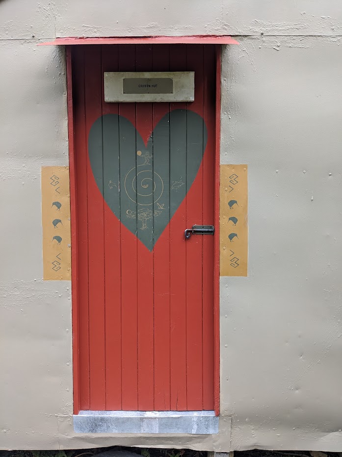
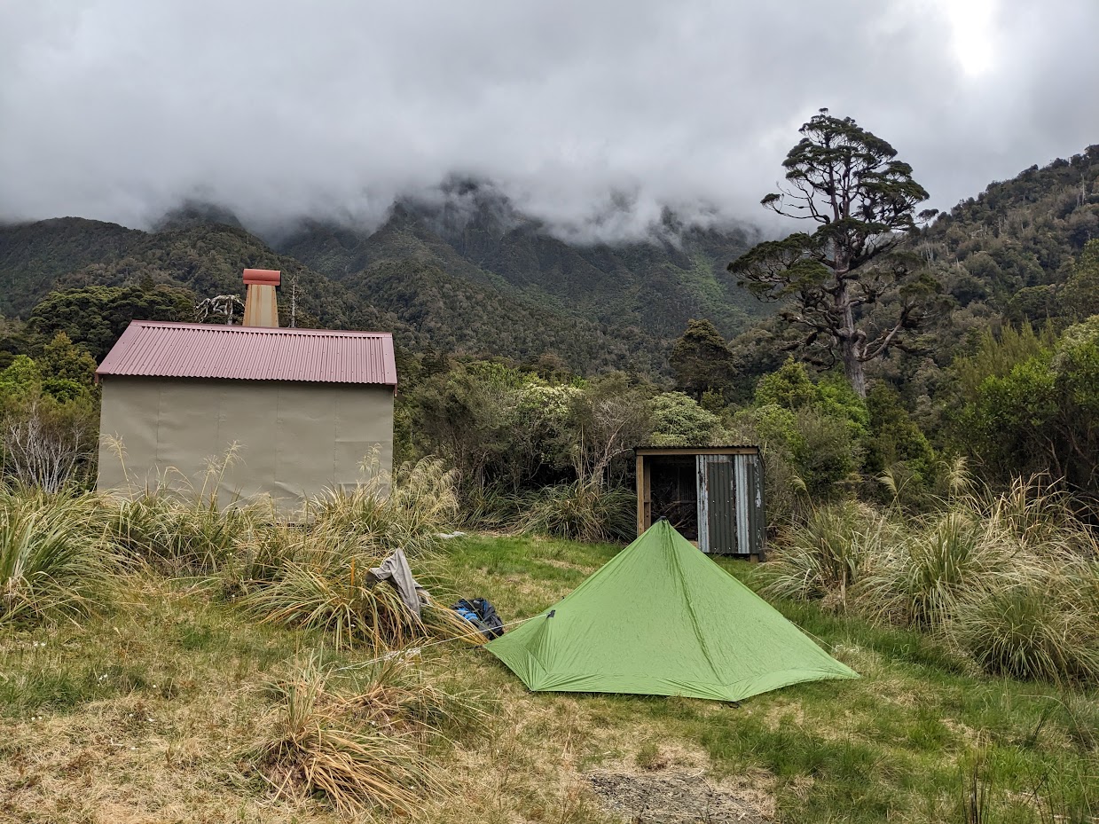
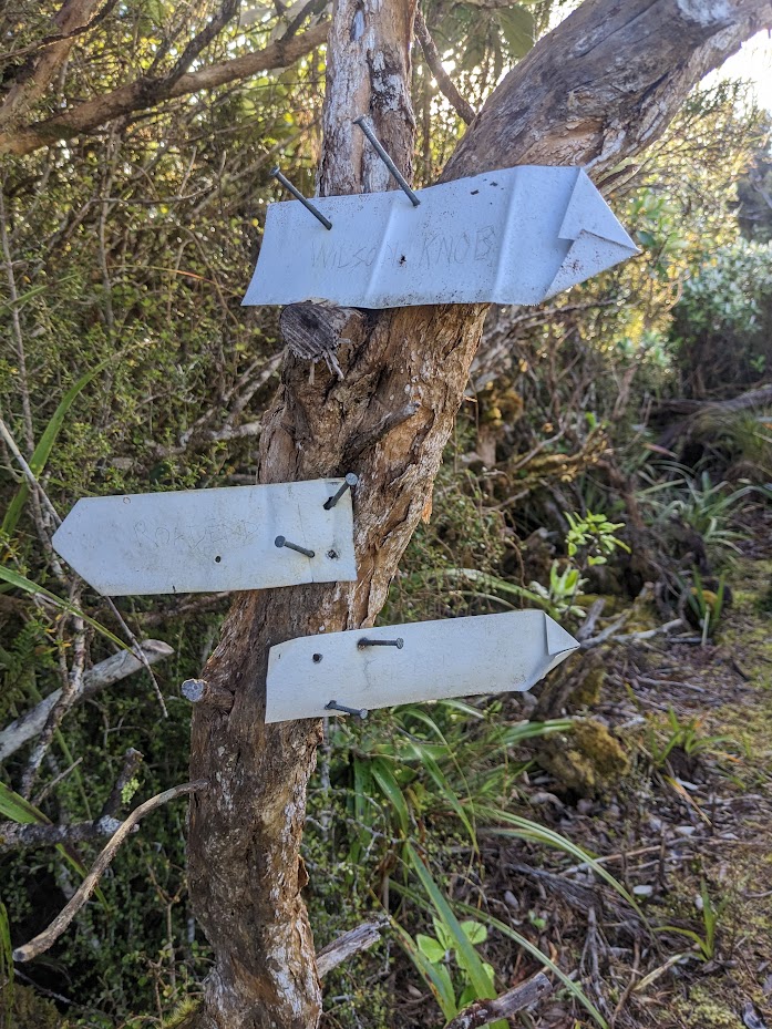
The track across the saddle to Griffin Creek is only poorly marked and cut. I did have my hand saw with me and cut bits here and there but it was like a drop in the ocean. I didn’t take my cruise tape with me so sometimes it felt pointless to cut a track without marking it. Oh well… lesson learnt. There are some occasional rock cairns that helped to navigate through the bush, but I did wonder about ten times where to go next. It’s not too bad, though, as the bush is pretty open and I didn’t actually have to bush-bash. Once in Griffin Creek, the track opens up, and from there, it’s like walking along a highway to Griffin Creek biv. To my surprise, I met a family there – a couple and two kids, maybe about 5 and 8 years. They had fired up a bush bath, which is located in a creek 2 minutes from the hut. I was very impressed by the kids!
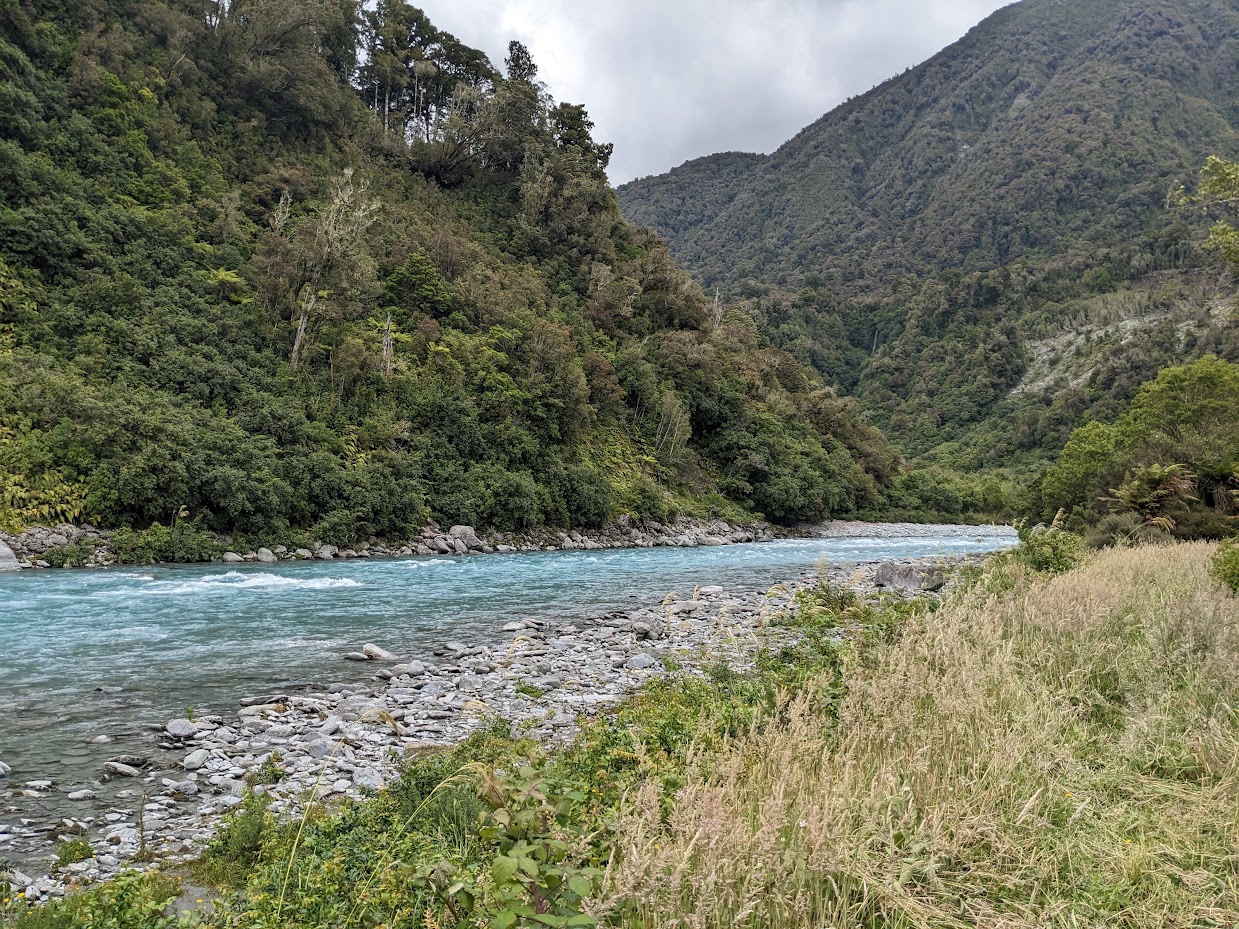
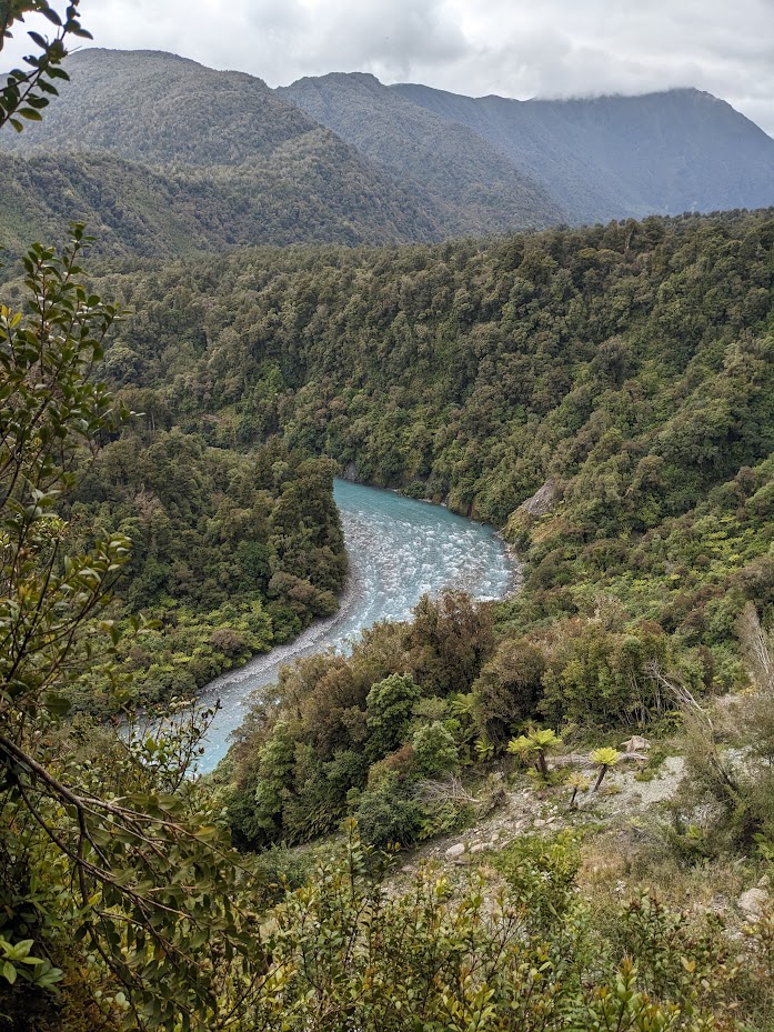
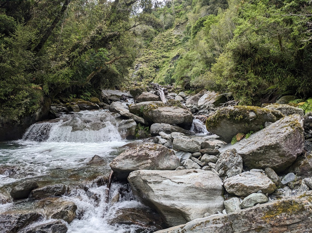
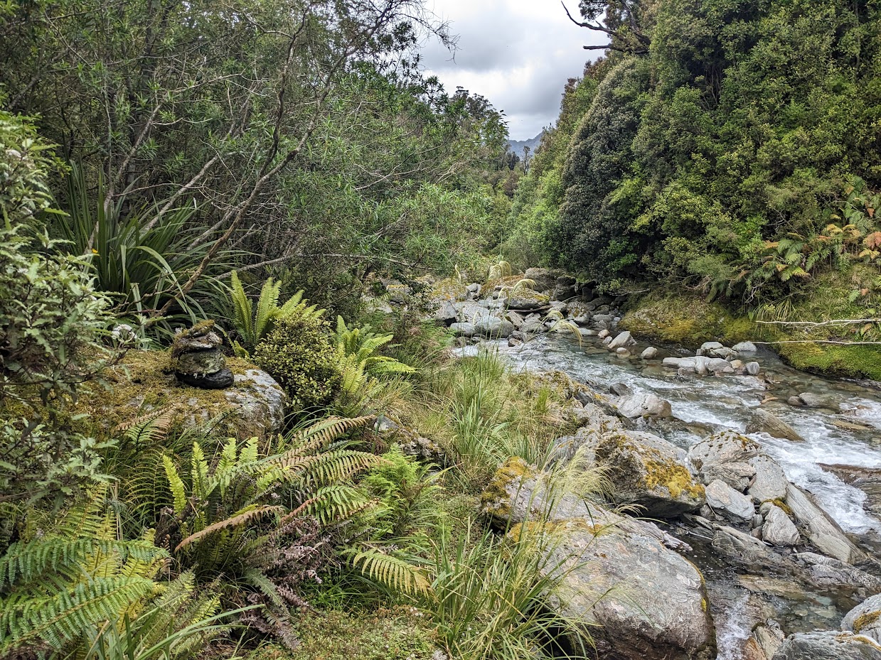
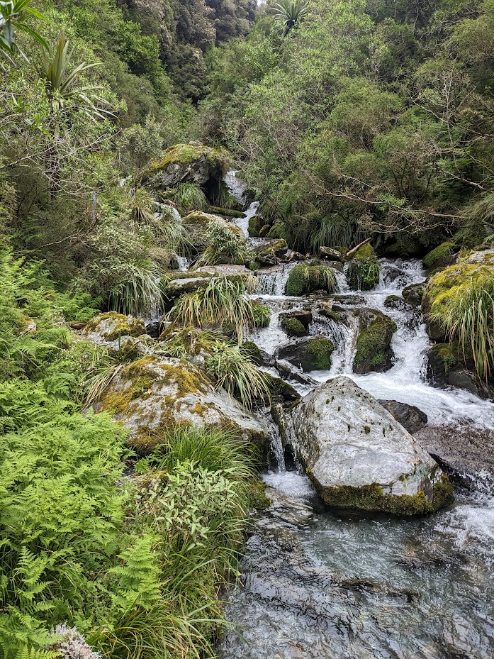
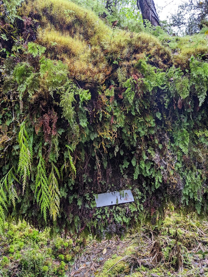
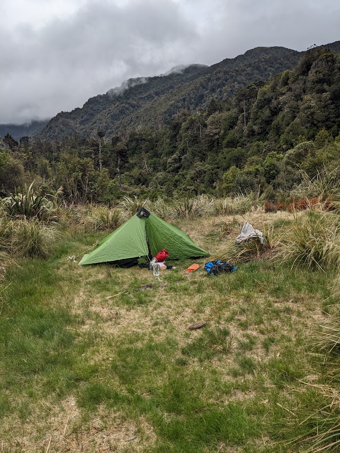
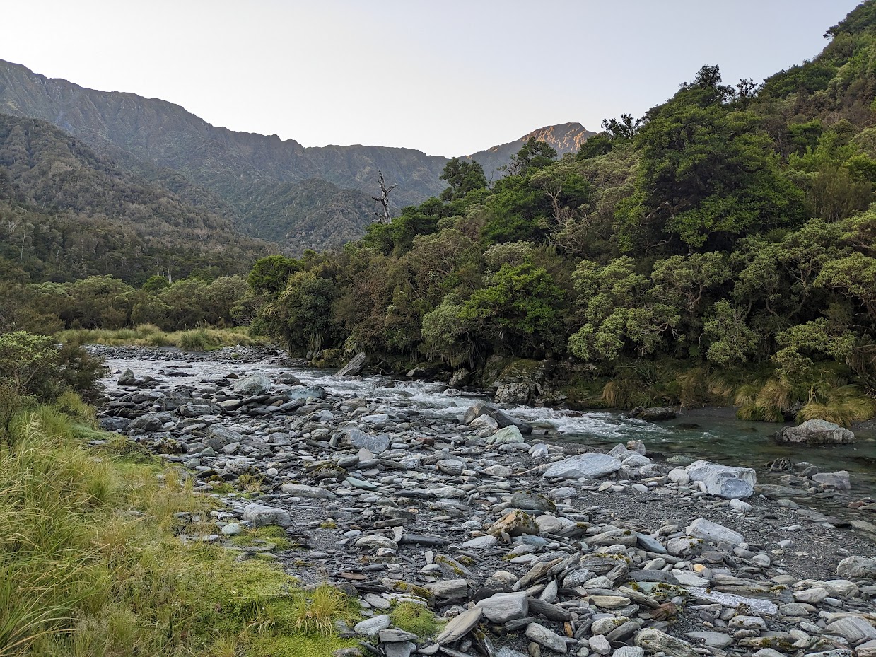
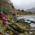
I pitched my tent right by the hut, and the following morning, I set off early and followed Griffin Creek. Apparently, the track veers off the creek a couple of times and goes through the bush. Perhaps it does; I’m not sure, as I just stayed in the creek bed until a well-marked point where the track led me up to pt974. It’s very steep at times. From pt974, the track is a piece of cake, very wide and easy to follow. I did cut an occasional branch or vine, but that was just about perfecting the track rather than anything else.
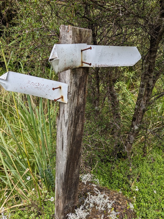
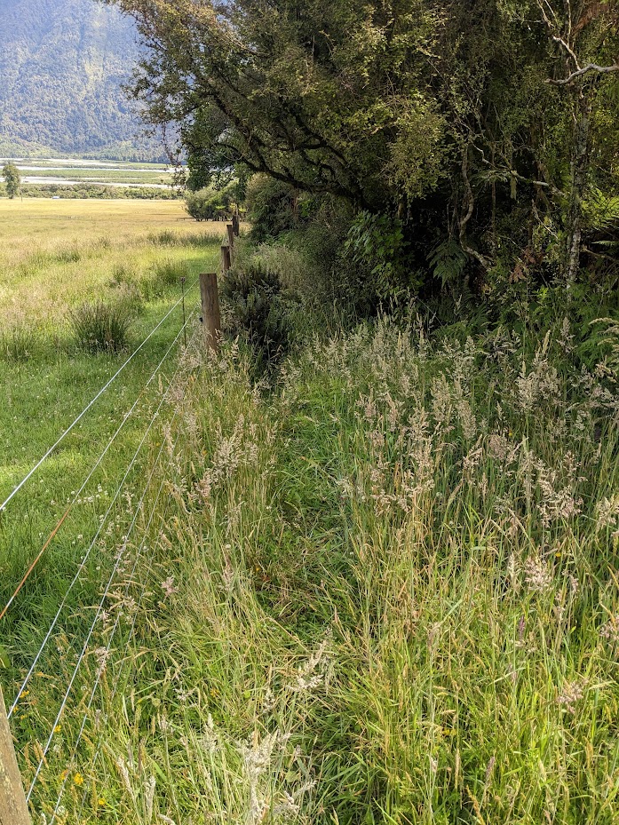
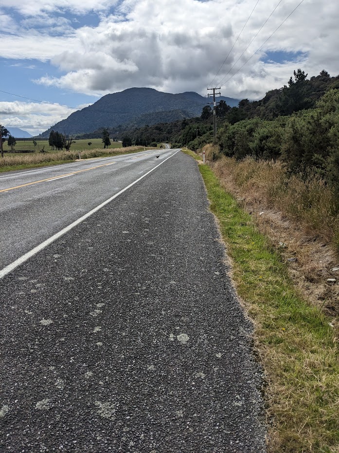
It was a pretty good, quick trip. Apparently, the Peninsula Tramping Club and Peter Umbers and his brother, whom I met at Rocky Creek, have done more work on the track, so it should be even better than it already is. Oh, and the track is not a full loop so SH73 needs to be followed for about 3 km. Nothing dramatic.
Stats:
SH7 – Rocky Creek biv – Griffin Creek biv
11.7 km, 8 h 15 min (includes track maintenance), 1000 m ascent
Griffin Creek biv – SH73 via Griffin Creek
10.3 km, 5 h 10 min, 430 m ascent
Participants: just me
Tramped on 2-3th January 2023.
Photos
Map – SH7 – Rocky Creek biv – Griffin Creek biv
Max elevation: 908 m
Min elevation: 137 m
Map – SH7 – Griffin Creek biv – SH73 via Griffin Creek
Max elevation: 967 m
Min elevation: 108 m
Be the first to comment on "Rocky Creek biv to Griffin Creek biv"