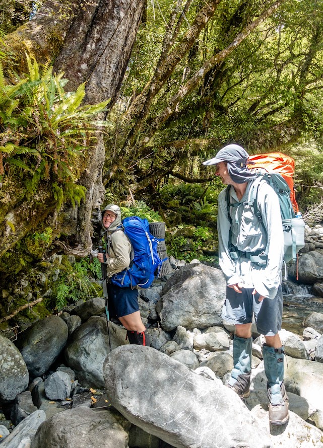
- This was a trip done by me, Mary Ogburn and Josh Sokolov-Pearson
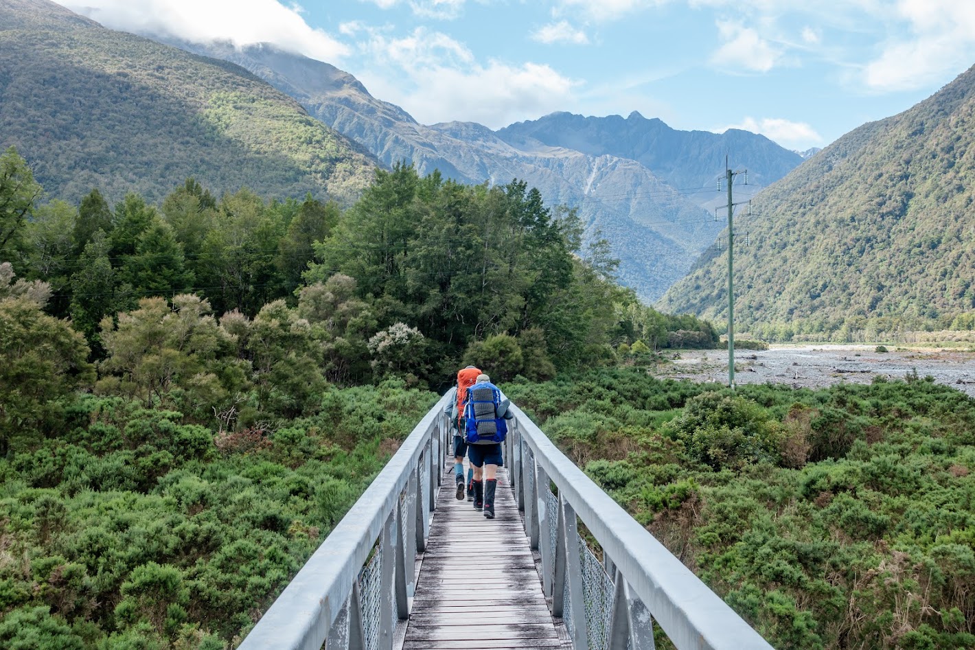
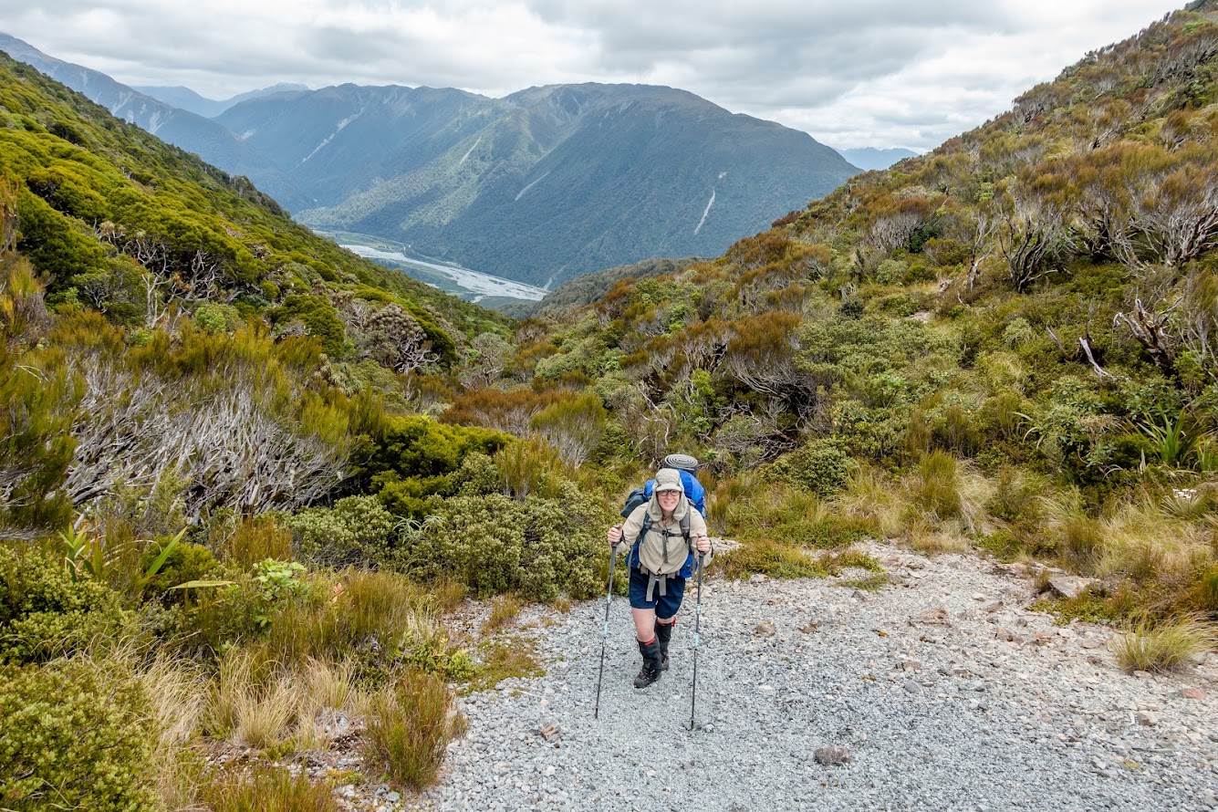
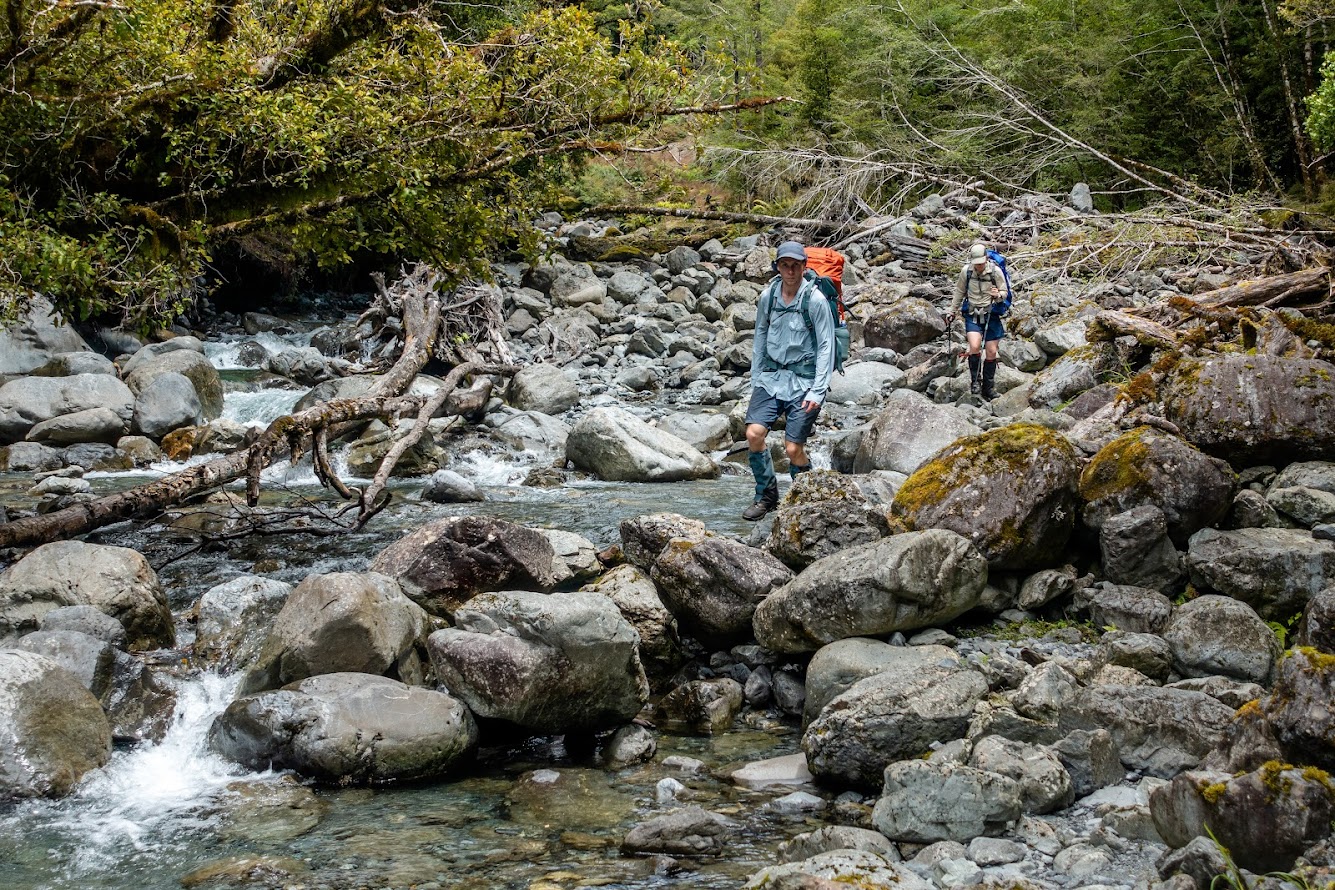
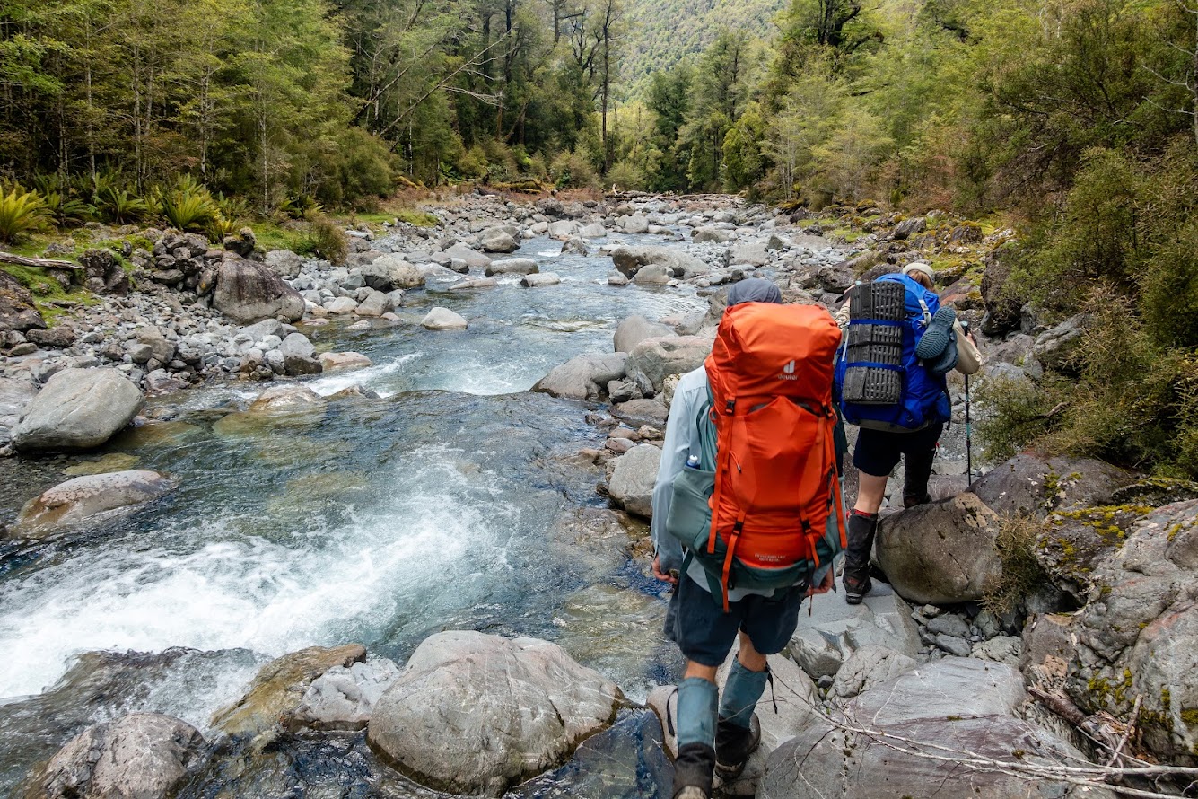
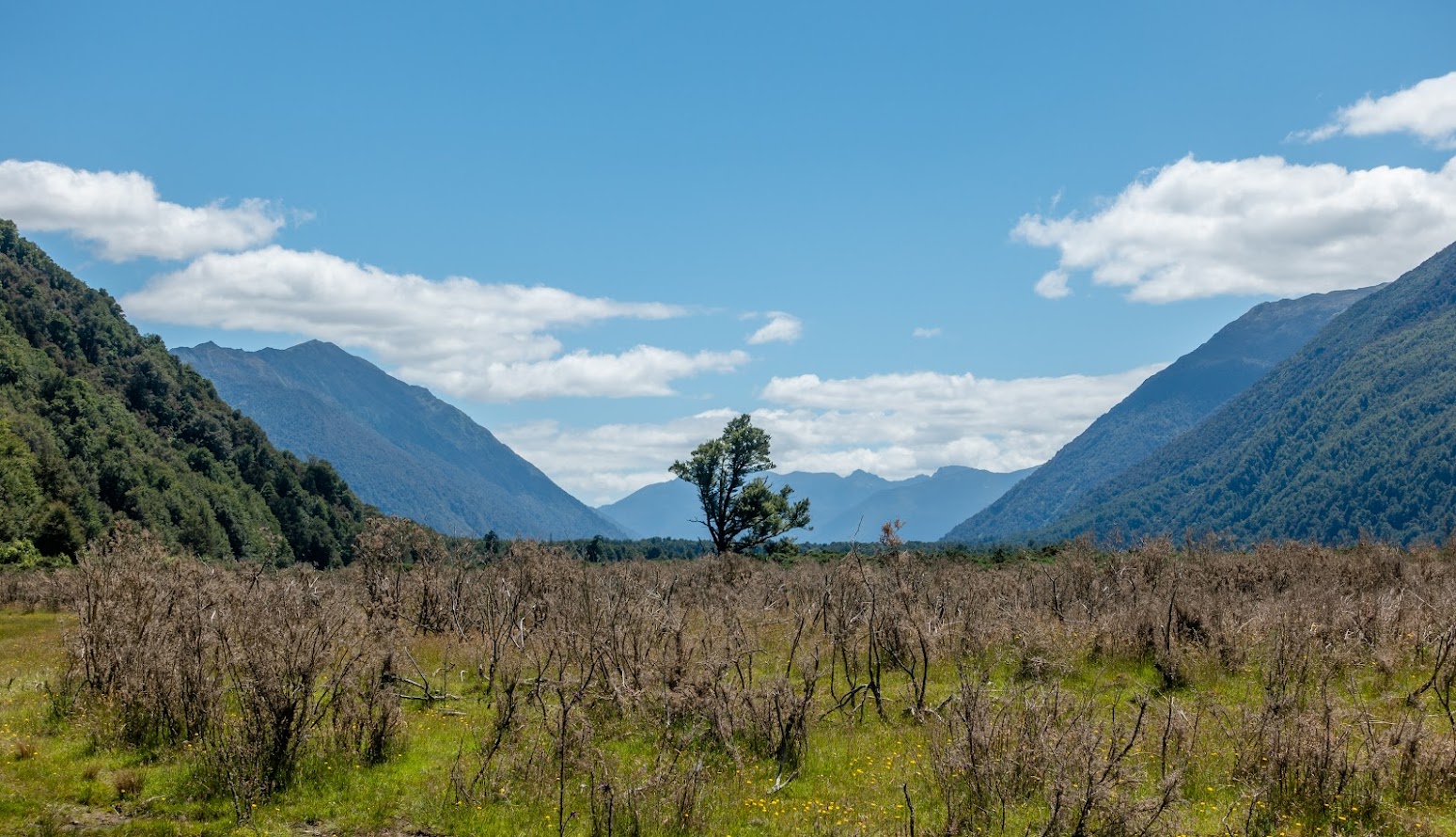
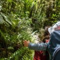
- We started at a wee carpark by Morrison Footbridge across Ōtira River. From there, we followed Te Araroa Trail for about 500m. Once at Paratu Stream, we went up the stream.
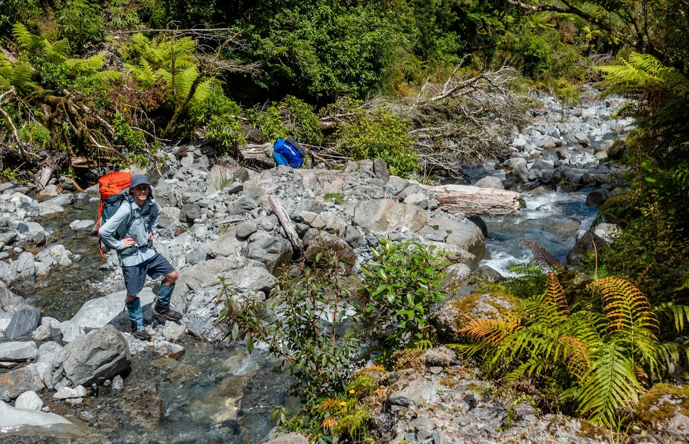
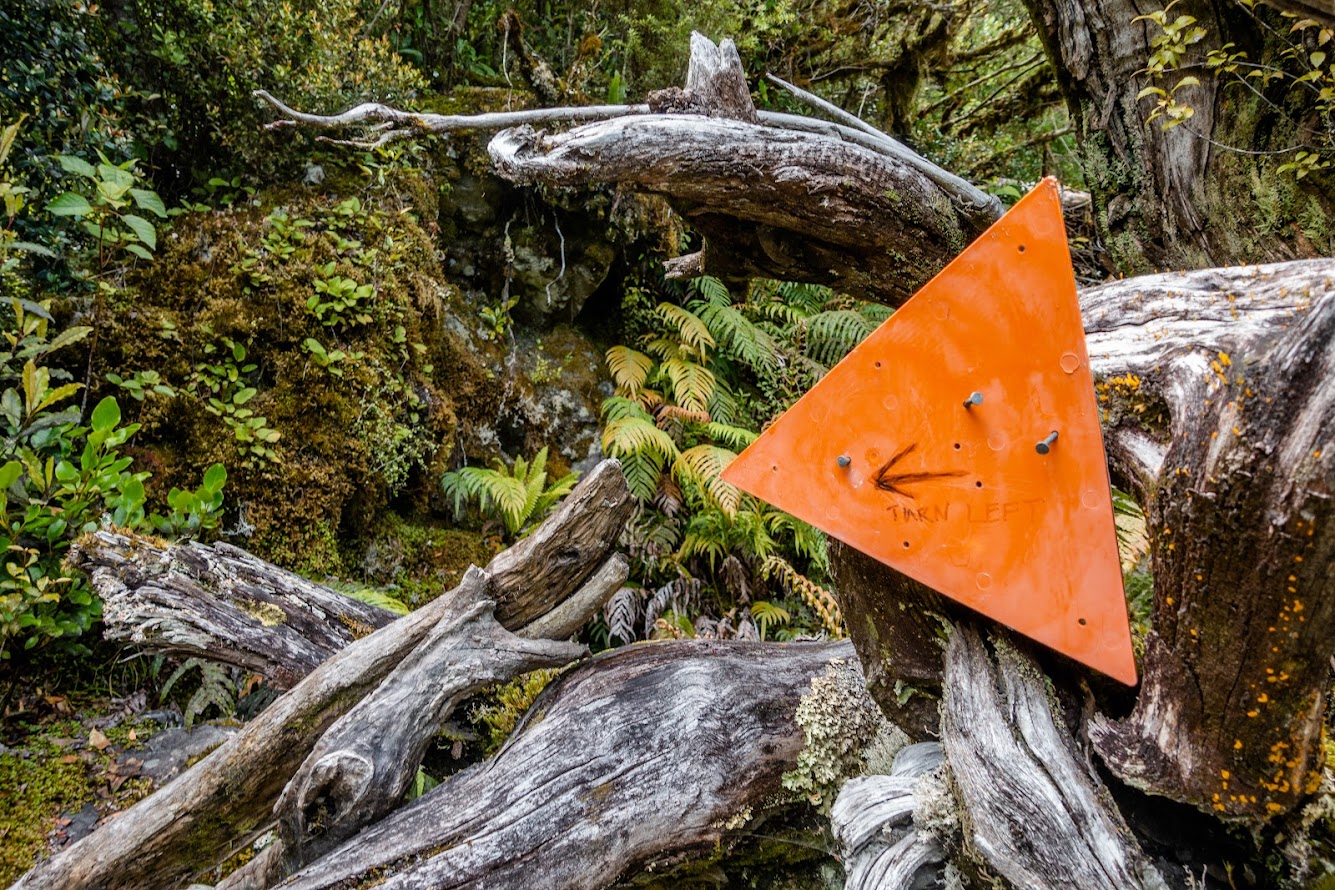
- The track up the stream is reasonably easy to follow. Apart from a couple of orange triangles at places where the creek forks, it’s very straightforward.
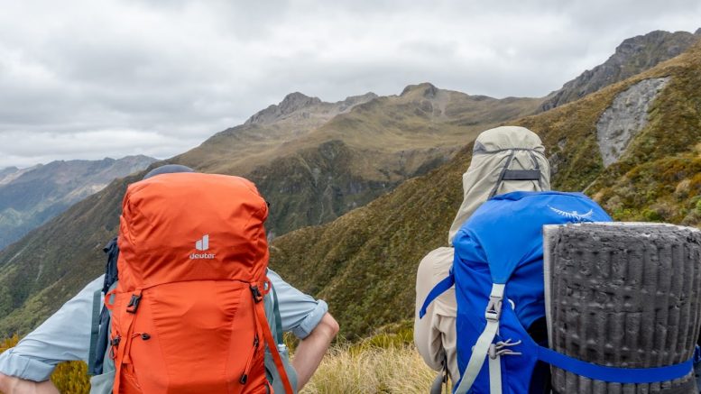
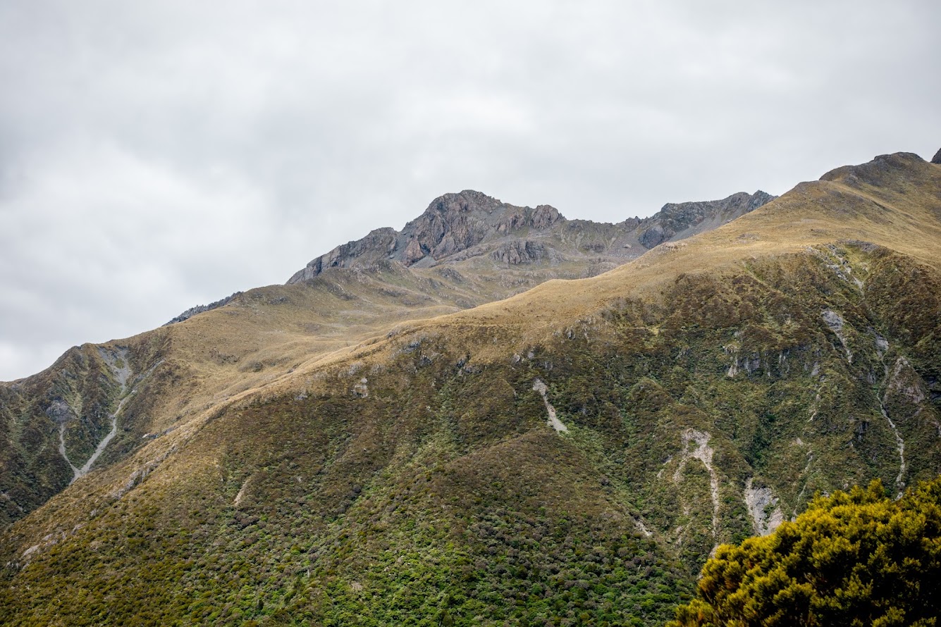
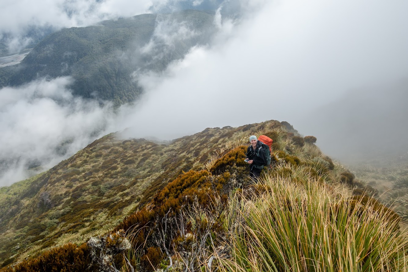
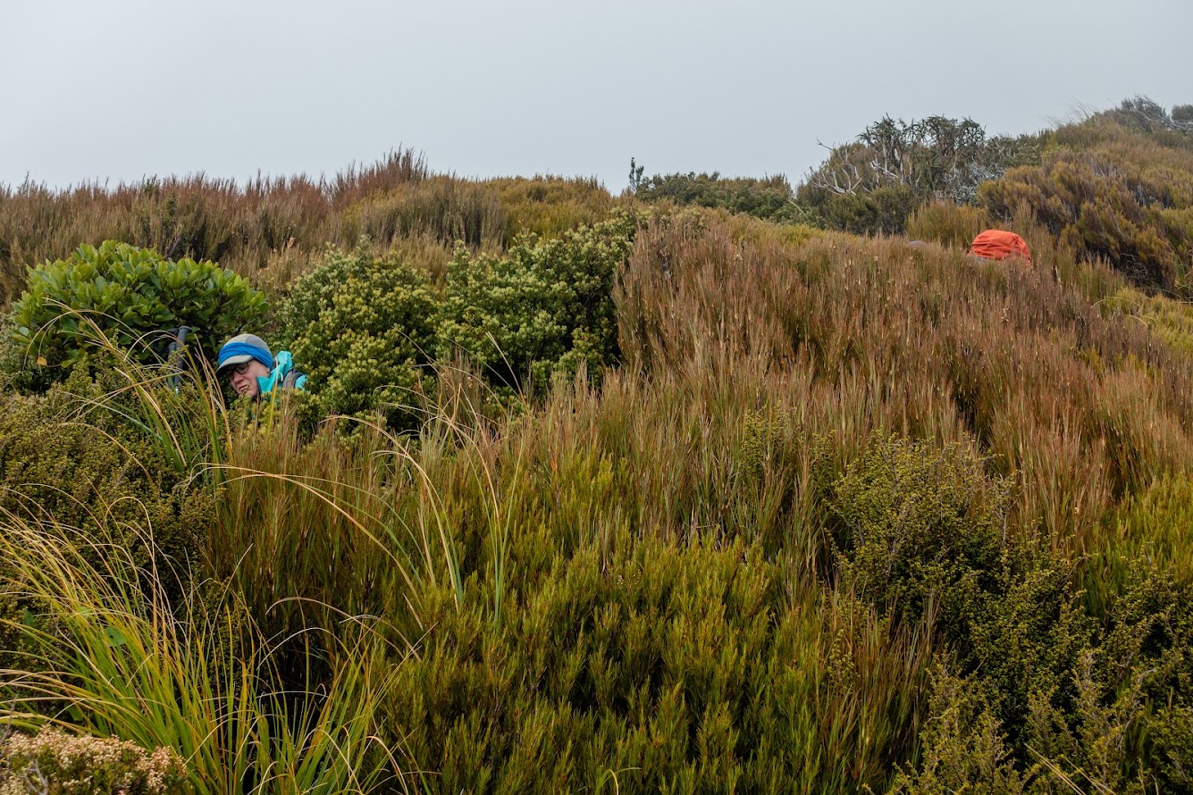
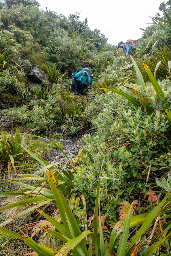
- From Whaharoa Saddle there is a track heading towards pt1364. It’s in good condition. Once above the bushline, we skirted along the easter basin of pt1364 towards the western ridge of pt1592. We came upon a knob and drop down to the next basin from where we kept traversing between contours 1300-1400 to Pfeifer Biv. The route is straightforward in good visibility, in clouds it’d be essential to have GPS as it wouldn’t be clear at what point to drop from the ridge to the next basin. There are some horrendously looking bluffs around.
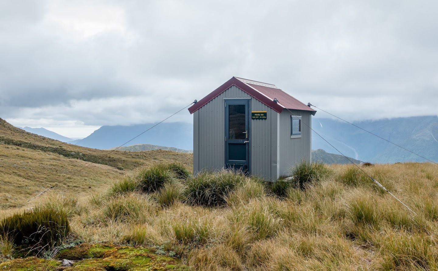
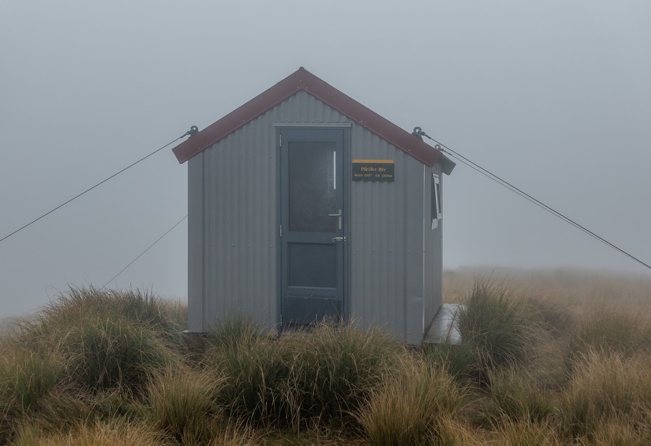
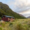
- Once at Pfeifer Biv, we cooked dinner and shared a New Year’s beer and some chocolate. The biv was built only in 2007 but it’s already pretty moldy with a lot of moisture being sucked up from the floor. In the evening it started drizzling and pretty much every wall was wet to about 40 cm from the floor.
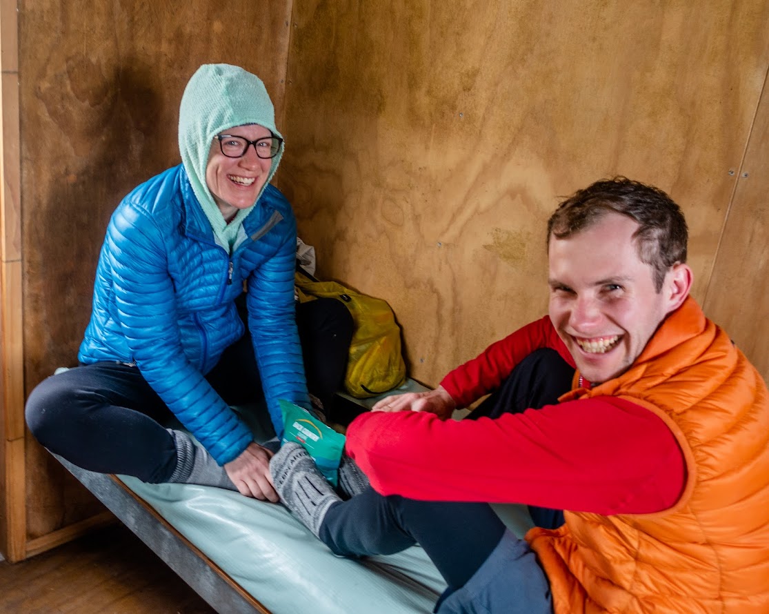
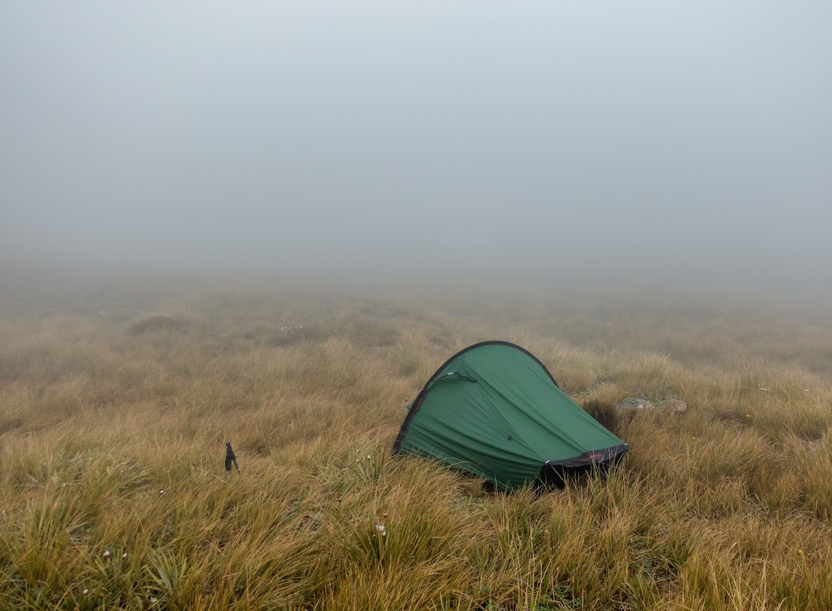
- I pitched a tent not too far from the hut, Mary and Josh pitched theirs too. After the drizzle turned into rain, their tent started leaking so they bailed and ended up in the hut. I was pretty comfy in my tent.
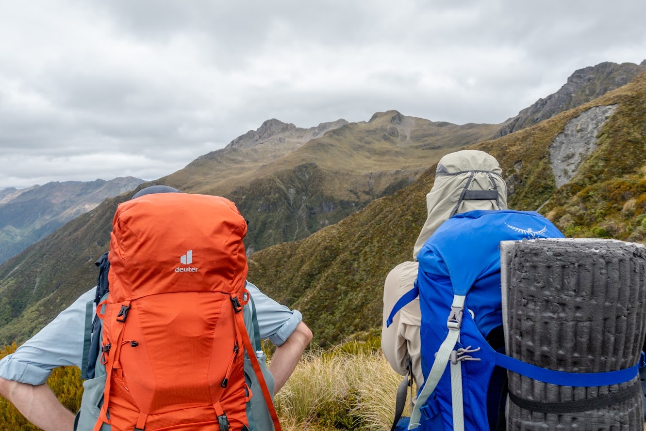
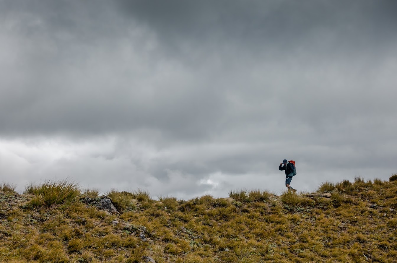
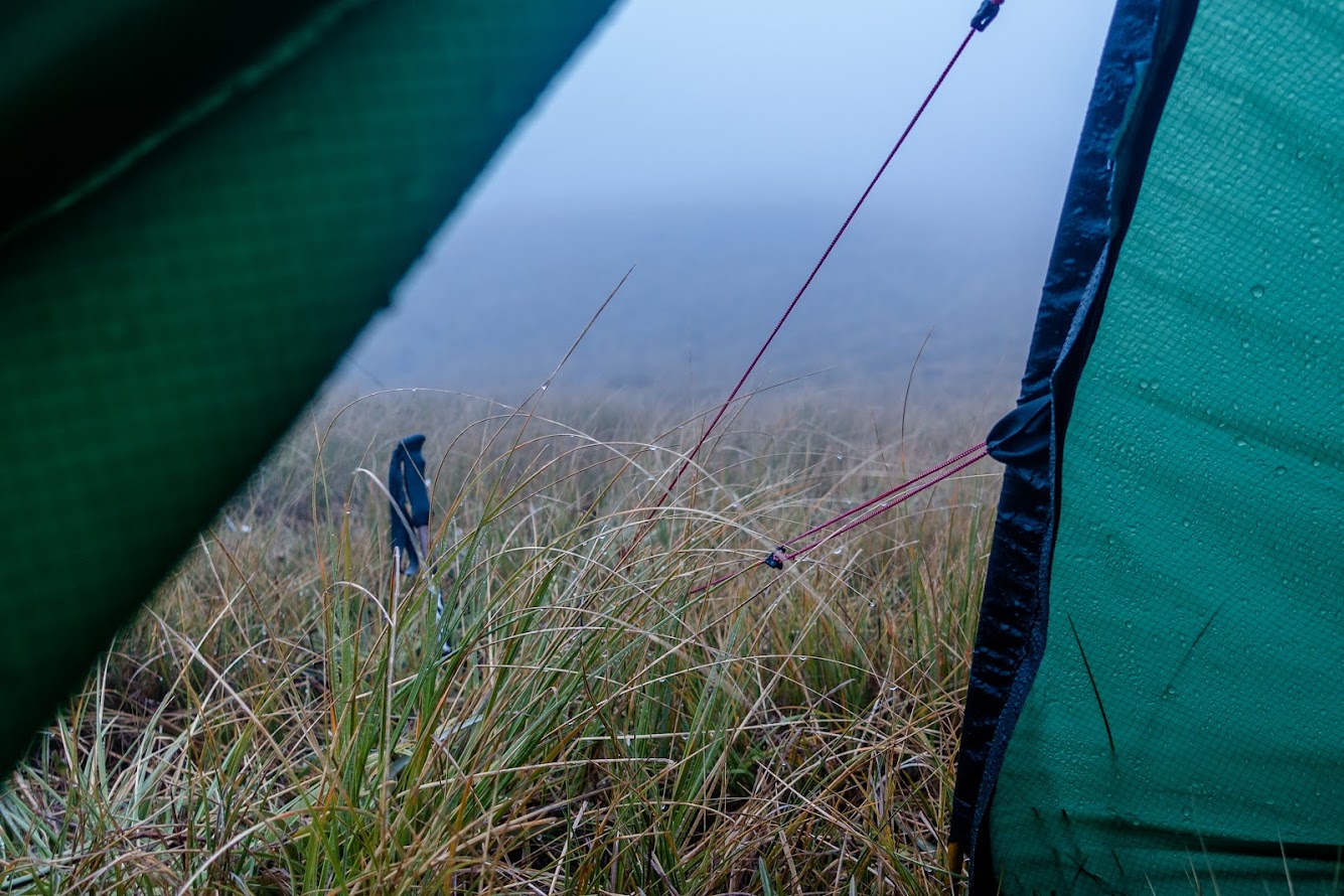
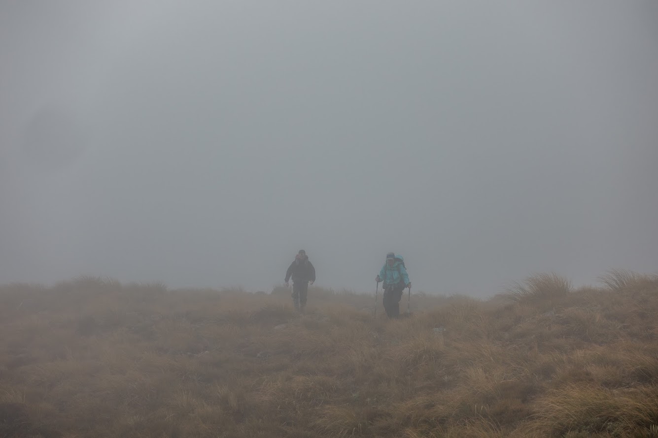
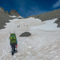
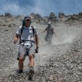
- The following morning we woke up to whiteout conditions. The visibility was changing from 20-100m. We ditched our plans of scrambling up to Mt Pfeifer and made up a plan to descend to Pfeifer Creek and Lake Kaurapataka Track.
- We started skirting along 1300 m contour towards a scree that we knew we needed to take. Most of the time, the visibility was not more than 50 m. We had 2 phones with NZ topo maps and GPX track and still had to backtrack a couple of times as we took the wrong basin. The terrain is quite rugged and it’s really easy to take the wrong ridge and end up on a bluff. In good visibility, it shouldn’t be a problem to navigate through the area but in whiteout conditions, I wouldn’t recommend traveling here unless you have a good GPX track and great navigation and judging skills.
- At one point the clouds disappeared and we finally saw our scree. We knew we had to take a side creek on the TR of the scree that would lead us to it. We truly did take a side creek but I’m pretty sure now that it wasn’t the right one. We should have traversed for another 100-200 m east – there is another side creek which seemed to be much nicer. Our side creek was still okay though with a lot of tall vegetation to hold on to while descending on the scree.
- Once on the main scree slope, we had reasonably good scree run all the way down to the bush and even further. There are a lot of boulders waiting to be dislodged and send down so good care is needed while descending this way.
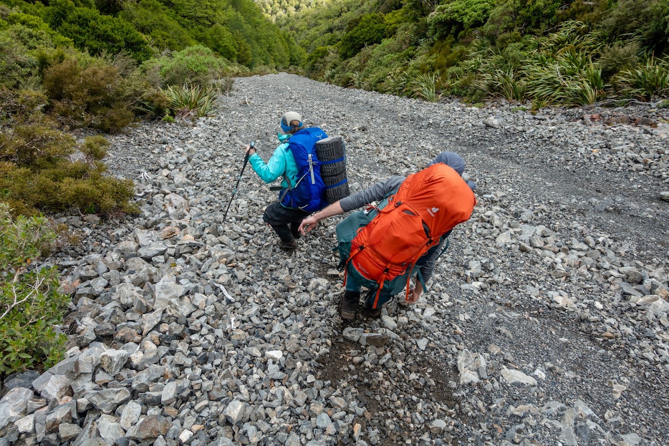
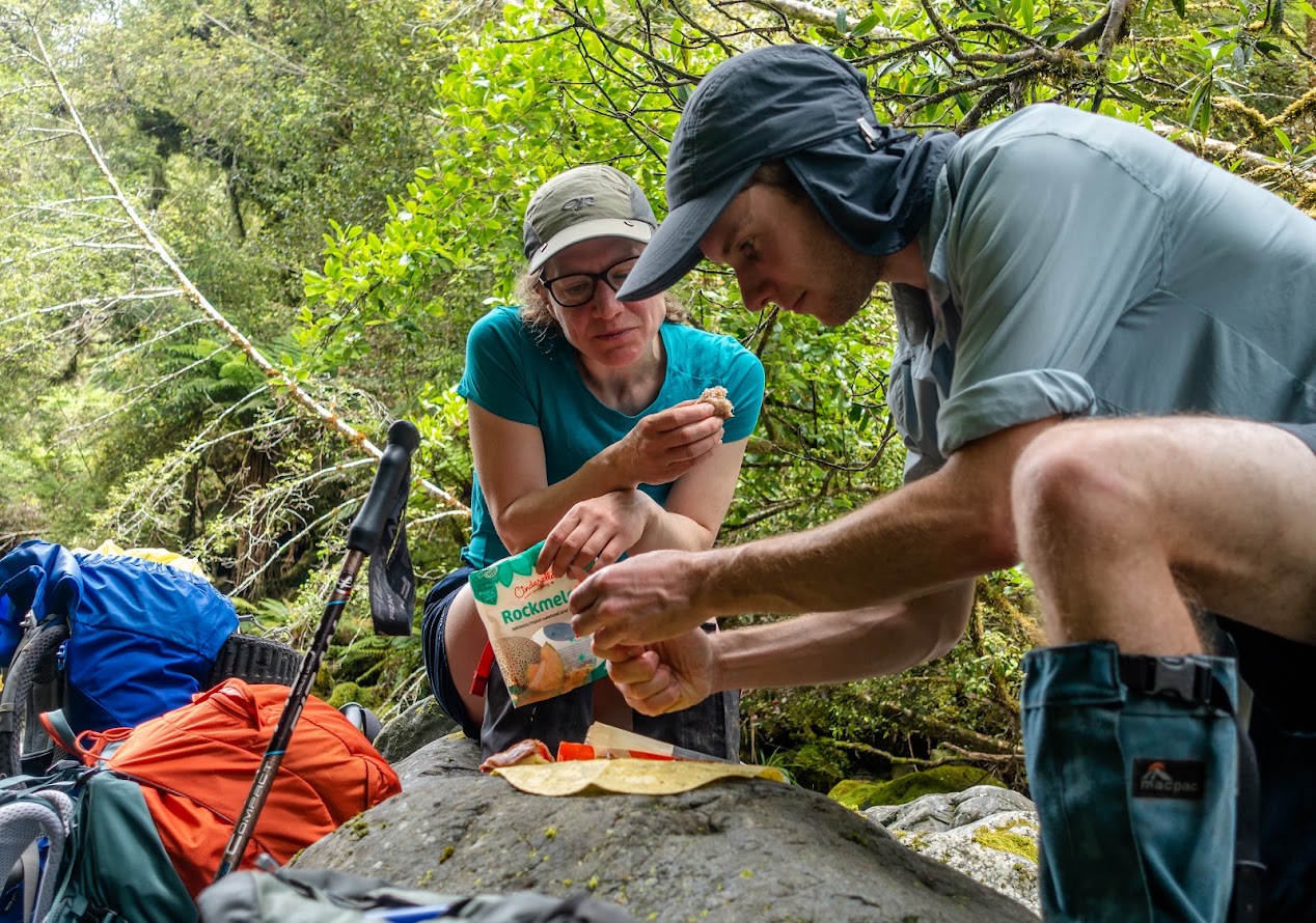
- Once in Pfeifer Creek, we had lunch and followed the creek to the Lake Kaurapatak Track. It’s easy to follow and we managed to get to the track with dry feet. We only had to cross a couple of times or so. I reckon it’d be possible to stay on either side of the creek and combine bushbashing with river bed travel to get to the track.
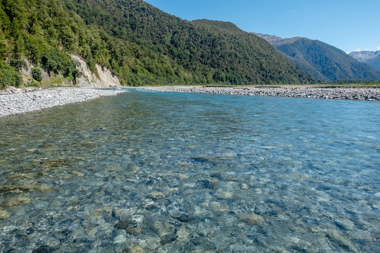
- From the crossroad with the track, we flew on a marked track to Te Araroa Trail. At Ōtira River, Mary decided that she had enough so she and Josh crossed the river and went to wait at the carpark by SH73. I stayed on the track to get the car – at one point it felt like a too big mission to follow the track so I jumped into the river and made my way across the river bed back to Morrison Footbridge. There were some nesting oystercatchers that were not happy about my presence.
- It was a pretty good way to spend New Year! If anybody will read this and download the GPX track, please remember that our descending route to the scree wasn’t the best choice.
Tramped on 31st December 2021-1st January 2022.
Rough stats:
- To Pfeifer Biv via Waharoa Saddle: 9 km, 6h (chilled pace), 1300m up
- Pfeifer biv to Morrison Footbridge via Pfeifer Creek: 13 km, 7,5 h (chilled pace), 100m up


Maps
Total distance: 9640 m
Max elevation: 1489 m
Min elevation: 285 m
Download file: GPX-hikingisgood-com-nz-2022-Pfeifer-Biv-via-Waharoa-Saddle.gpx
Max elevation: 1489 m
Min elevation: 285 m
Total distance: 13707 m
Max elevation: 1347 m
Min elevation: 234 m
Download file: GPX-hikingisgood-com-nz-2022-Pfeifer-Biv-via-Pfeifer-Creek.gpx
Max elevation: 1347 m
Min elevation: 234 m
Leave a comment