| Walk Facts | |
|---|---|
| Distance | 17 km |
| Ascent | 1560 m |
| Estimated time | 8 hours |
| The following report from | 4th May, 2019 |
| Map | See the online map below (with GPX download) Open the track at NZ Topo Maps |
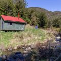
Pinnacles Hut is a fairly popular hut in the central Canterbury. Its convenient location makes it a popular destination for Christchurchians who want to escape busy city life. It was one of the May weekends when Anna and decided to check the hut out.
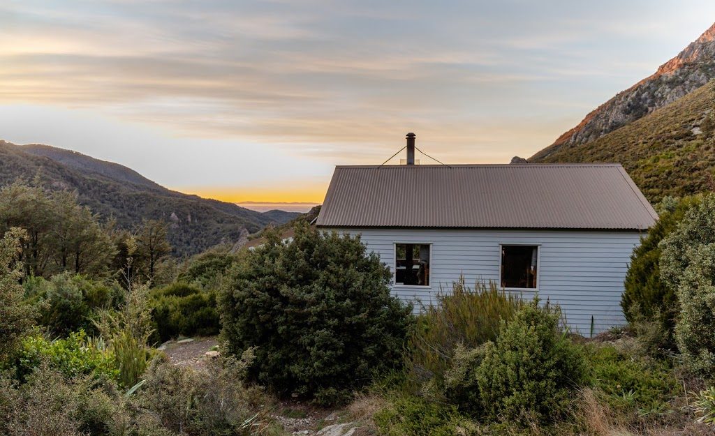
Mornings at Pinnacles Hut are lovely!
We started off at Sharplin Falls car park on Friday night. That’s where you want to start too if you want to come by the shortest possible way. It took us 3 hours of quite an easy going pace to get to the hut. Though I have to say that the track to Pinnacles Hut Track is not the easiest track I’ve done – there are quite a few river crossings and many ups and downs which I didn’t expect as I’ve heard the hut is “family friendly”. At the hut, we met two American girls that were climbing in the area. They were reasonably frightened by seeing two trampers arriving at 9 pm but soon we were sharing stories and biscuits.
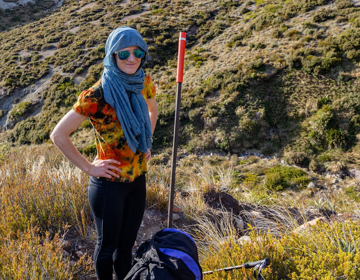
Anna ready for a climb
The day after, we really wanted to get up to Mt Somers. Anna hiked up there in the winter many years ago. She took the shortest possible way: right up into the steep northern side of the mountain. This time we decided to take a more gentle approach. We continued hiking along Mt Somers Walkway towards Woolshed Creek Hut. About an hour later, we reached a saddle between Mt Somers and Winterslow Range. This is the highest point of the hike between Pinnacles Hut and Woolshed Creek Hut. The saddle is at 1170m above the sea level. From there, we turned sharply south right towards the top of Mt Somers (see our GPX below).

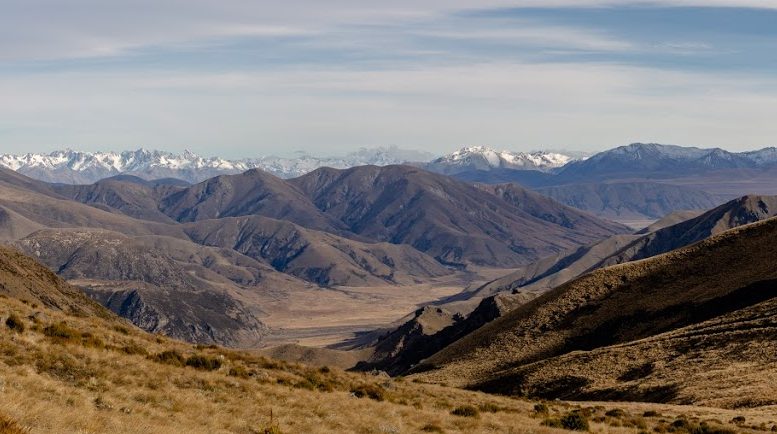
Another view from around
The trail is not marked and it’s important that you know what you’re doing if you decide to go this way. It was steep at times and some parts required scrambling. In general, I’d advise staying on the right side of the ridge but don’t go too far down to the stream valley on your right. The part close to the top is very steep and it didn’t look very stable.

View towards Winterslow Range
About an hour later and around 500m of the elevation gain, we came to Mt Somers plateau. It’s surprisingly flat up there with many great spots to camp if you’re keen to. On the plateau, a few rock cairns led our steps all the way to the top of Mt Somers.
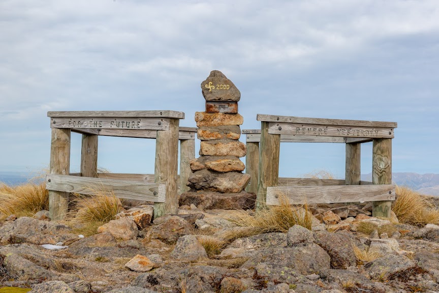
Top of Mt Somers. Hurray!
From Mt Somers, it’s a very straightforward and a steep way down. I renamed it no “knees crusher route”. It’s really steep there and the terrain is not screed enough to slide. Hiking poles and taking it slowly is a really good idea here. When we met with Mt Somers Walkway again, it was a quite a pleasant tramp back to the car through the bush. I really enjoy this tramp, especially Pinnacles Hut. I actually liked it so much that I’m going to volunteer there as a warden during the summer. It should be fun!
Map
Max elevation: 1665 m
Min elevation: 469 m



Good looking route Michal. A friend and I are looking to do this weekend after next if you’re keen to join in??
Hi George, I’d have been keen but I was climbing to Mt Torlesse over the weekend 🙂