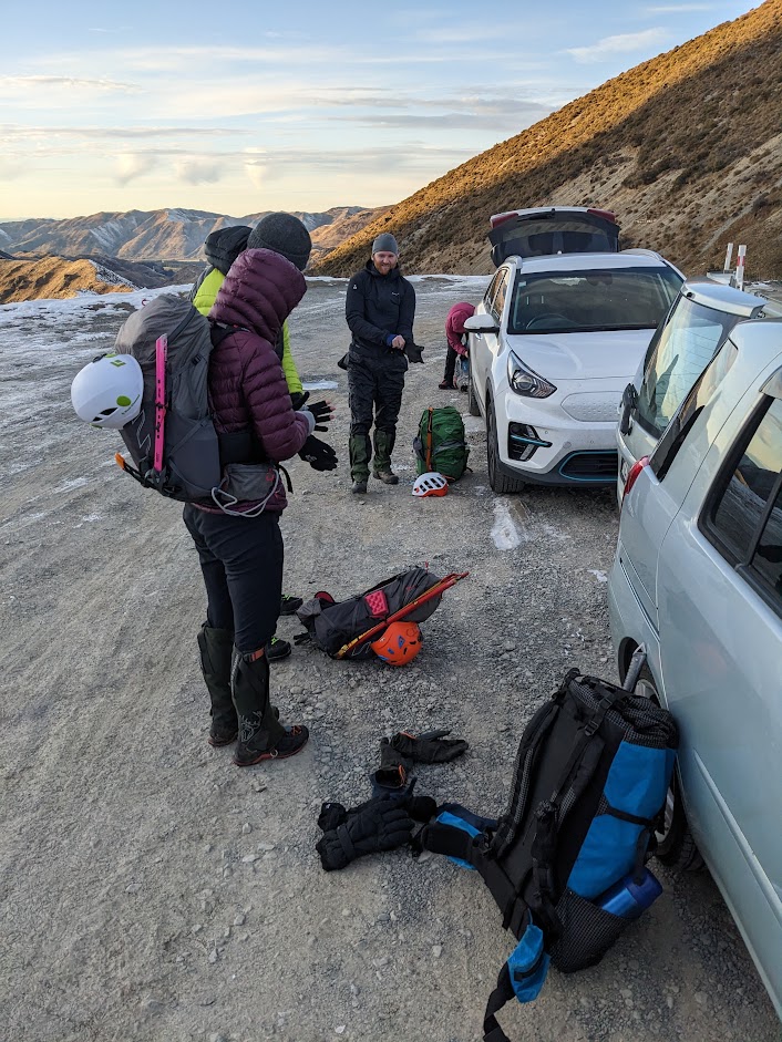
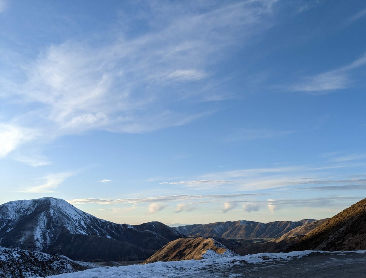
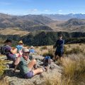
Funny enough, I’ve just realised now, as I’m writing this, that I led a trip up to Castle Hill Peak in January. Oh well, one can’t visit there too frequently; the convenience is just too tempting. The trip was rescheduled from Sunday to Saturday, causing quite a few folks to drop out, leaving only six of us in the end. We deviated from the original plan of starting at Dry Stream and instead opted – quite conveniently – to commence from Porters Pass.
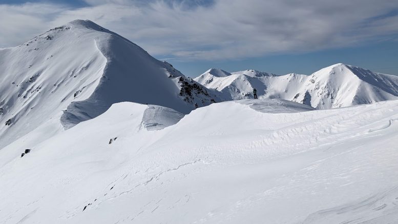
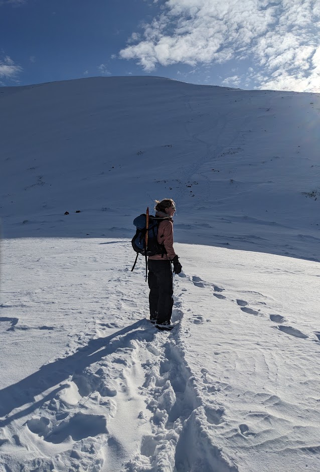
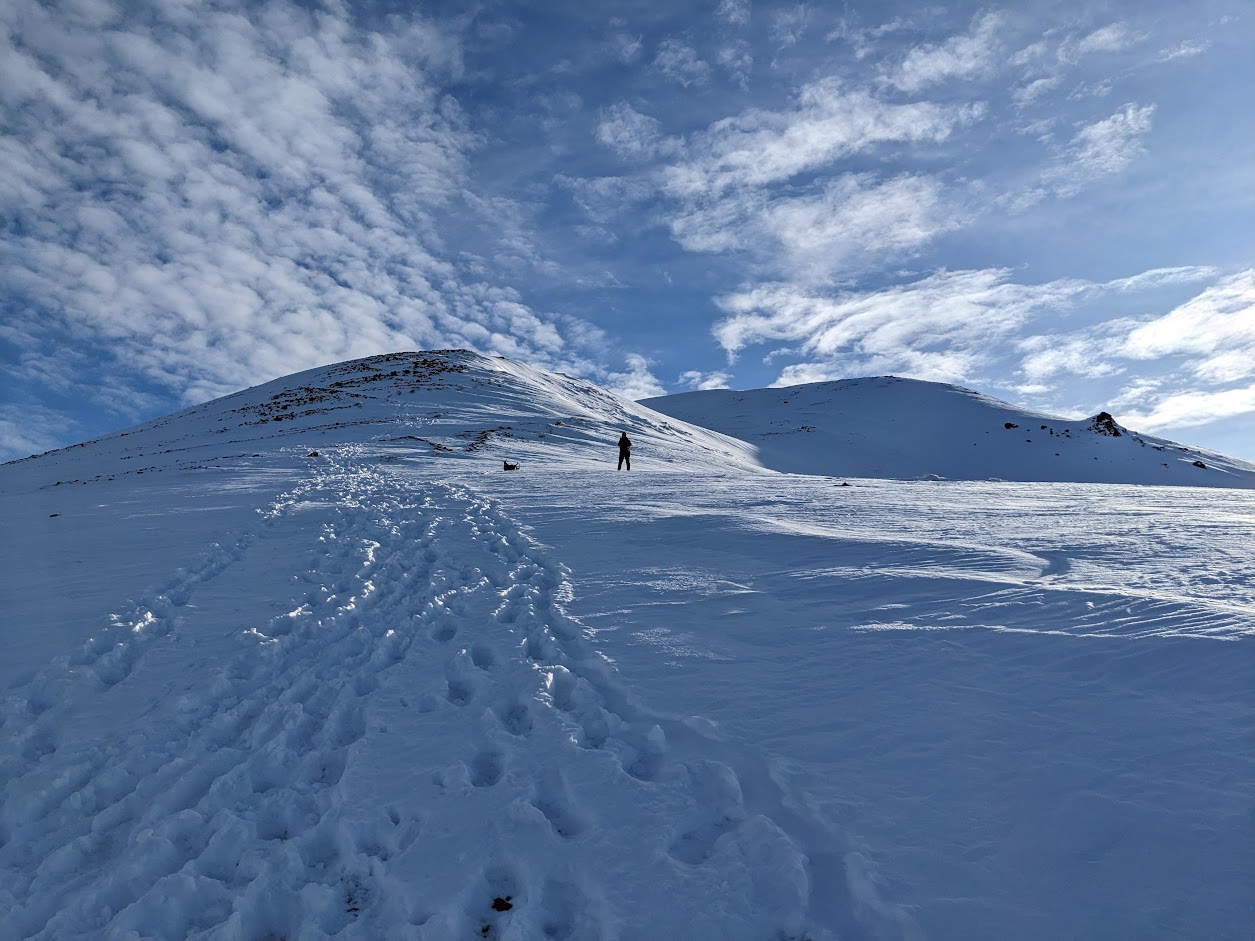
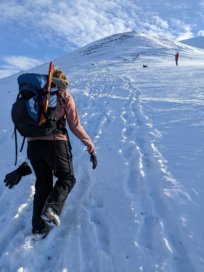
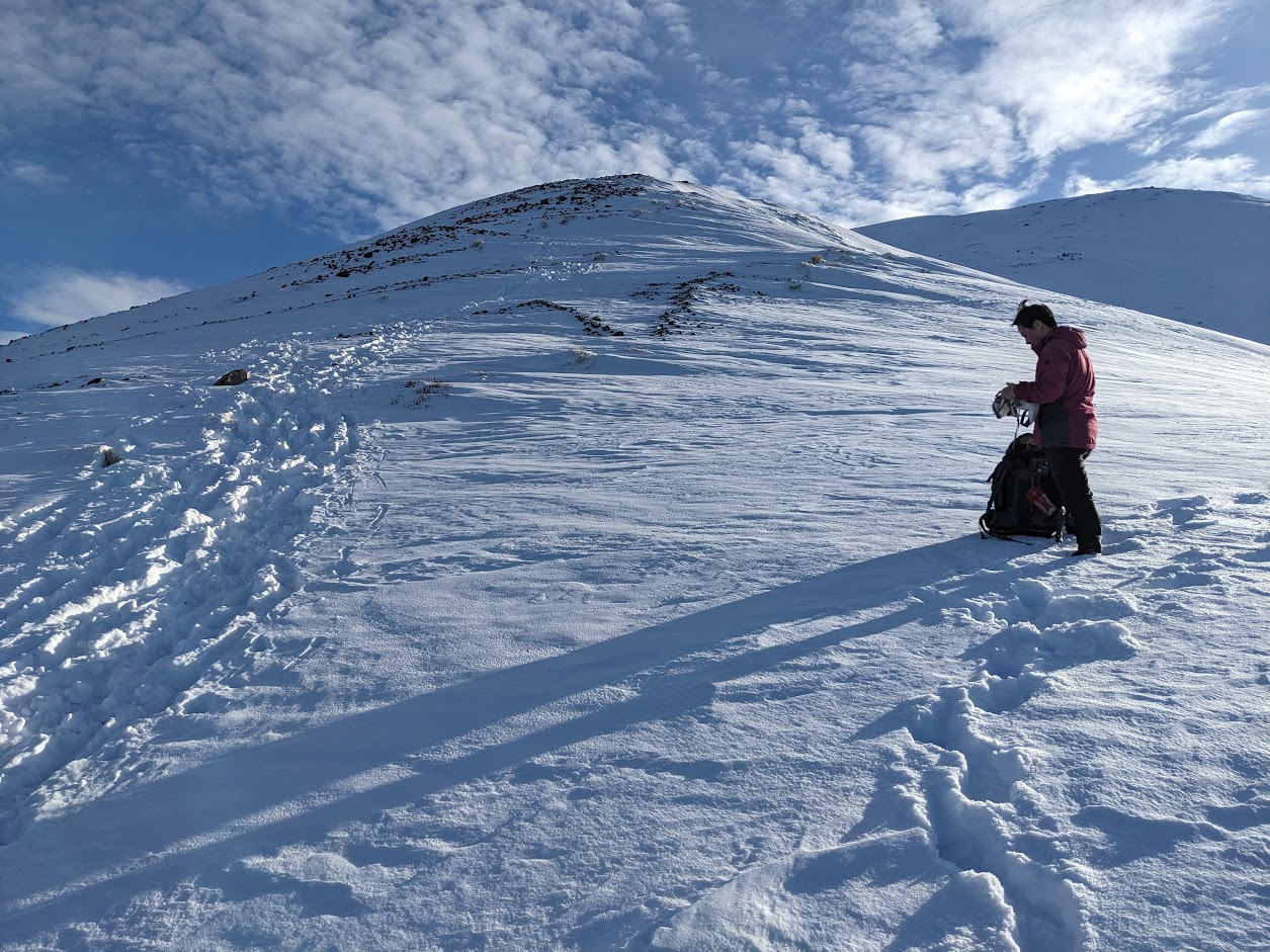
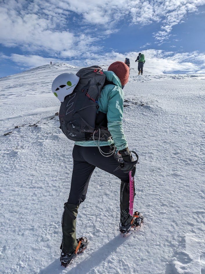
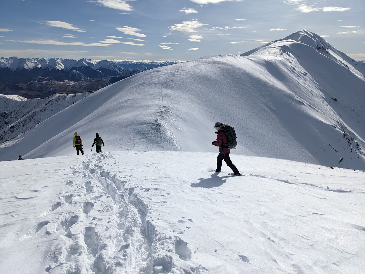
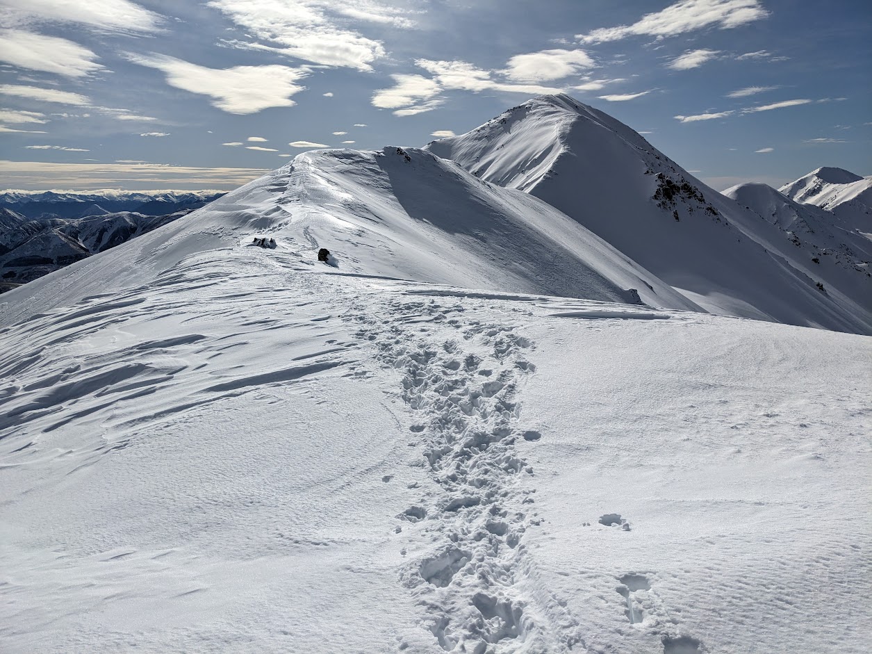
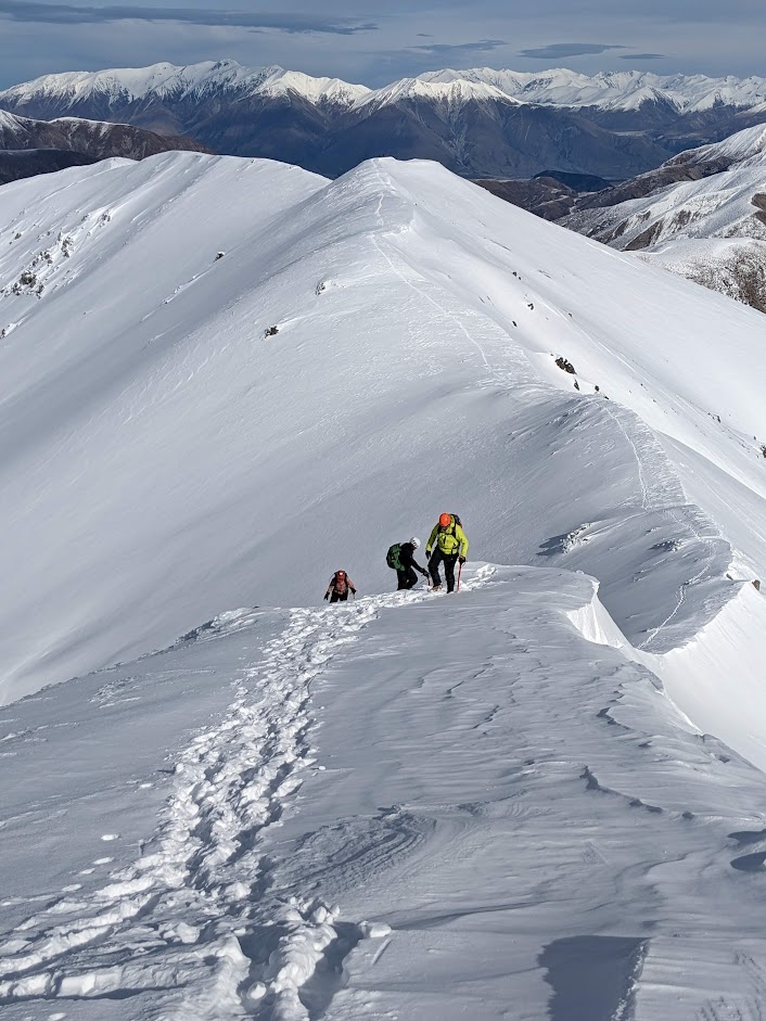
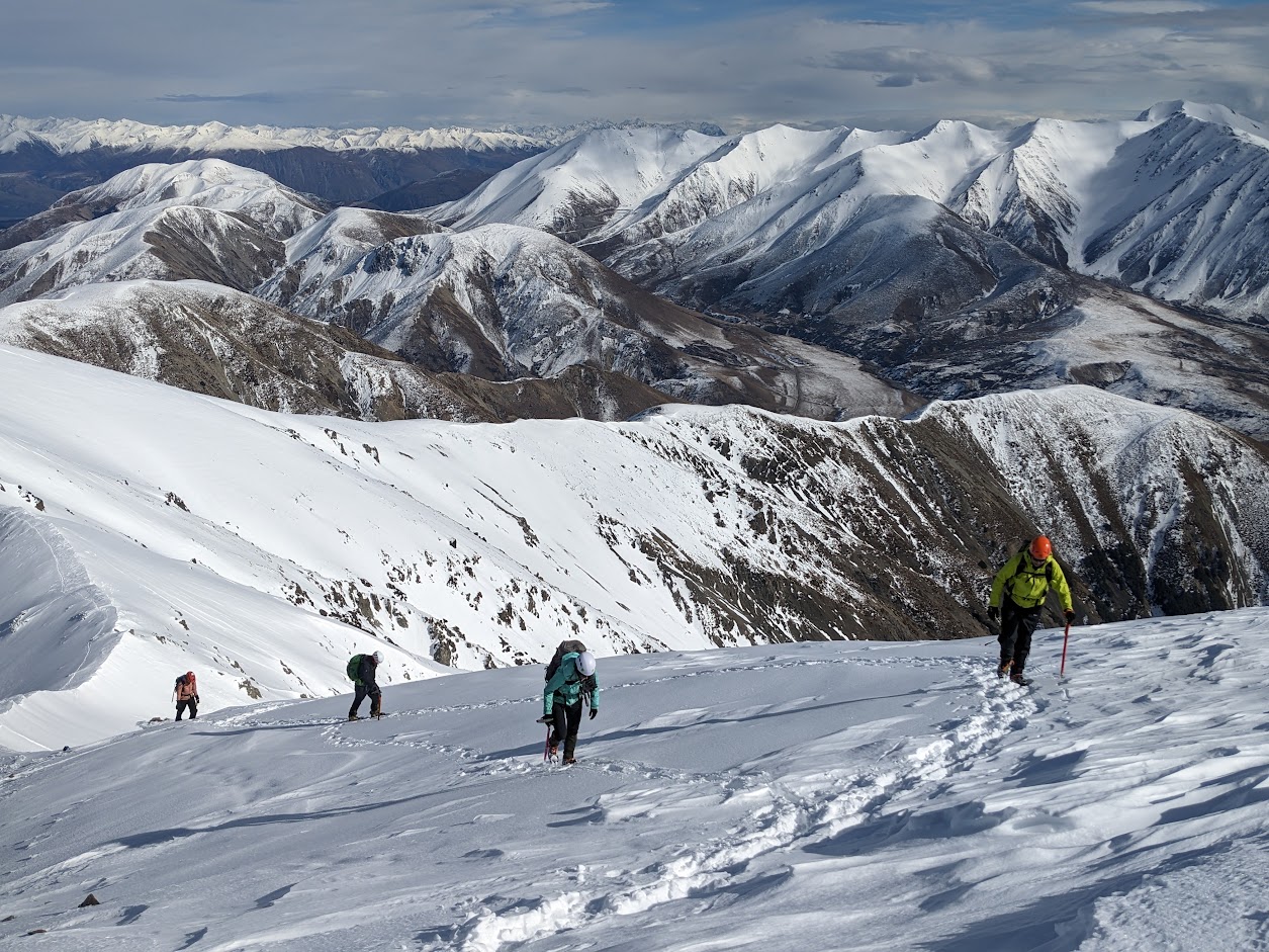
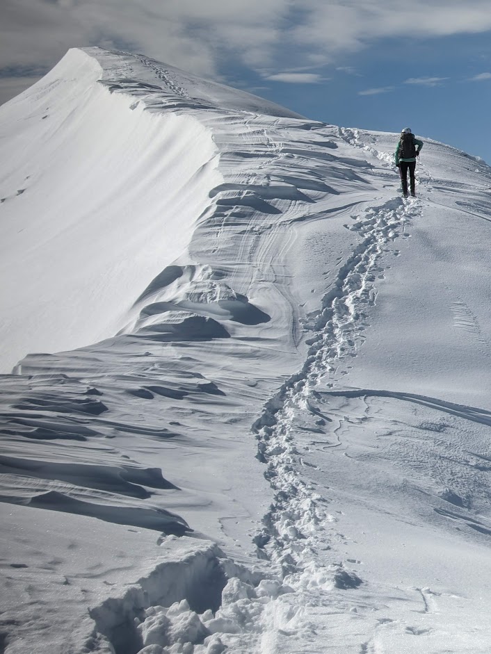
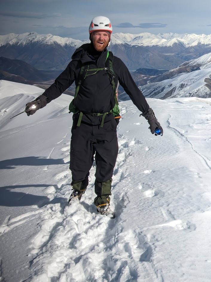
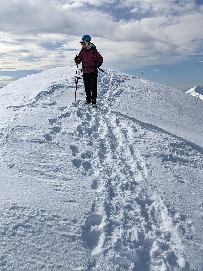
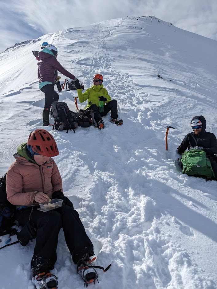
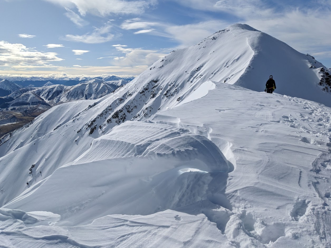
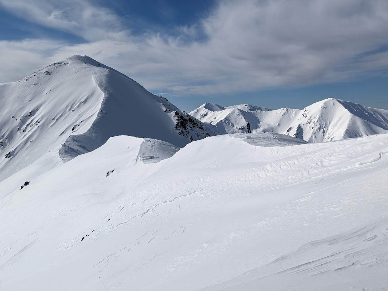
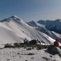
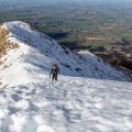
The arduous ascent to Foggy Peak was surprisingly swift, and just before reaching the summit, we put on our crampons. The ridge after Foggy Peak was brilliant to walk on, and except for the wind that progressively intensified, the conditions were nearly perfect. The final stretch to Castle Hill Peak from the 1800 contour onwards presented a steep incline, accompanied by snow cornices to our left. Upon reaching the summit, the wind intensified significantly, prompting us to swiftly descend and have lunch on a steep slope not far from the top.
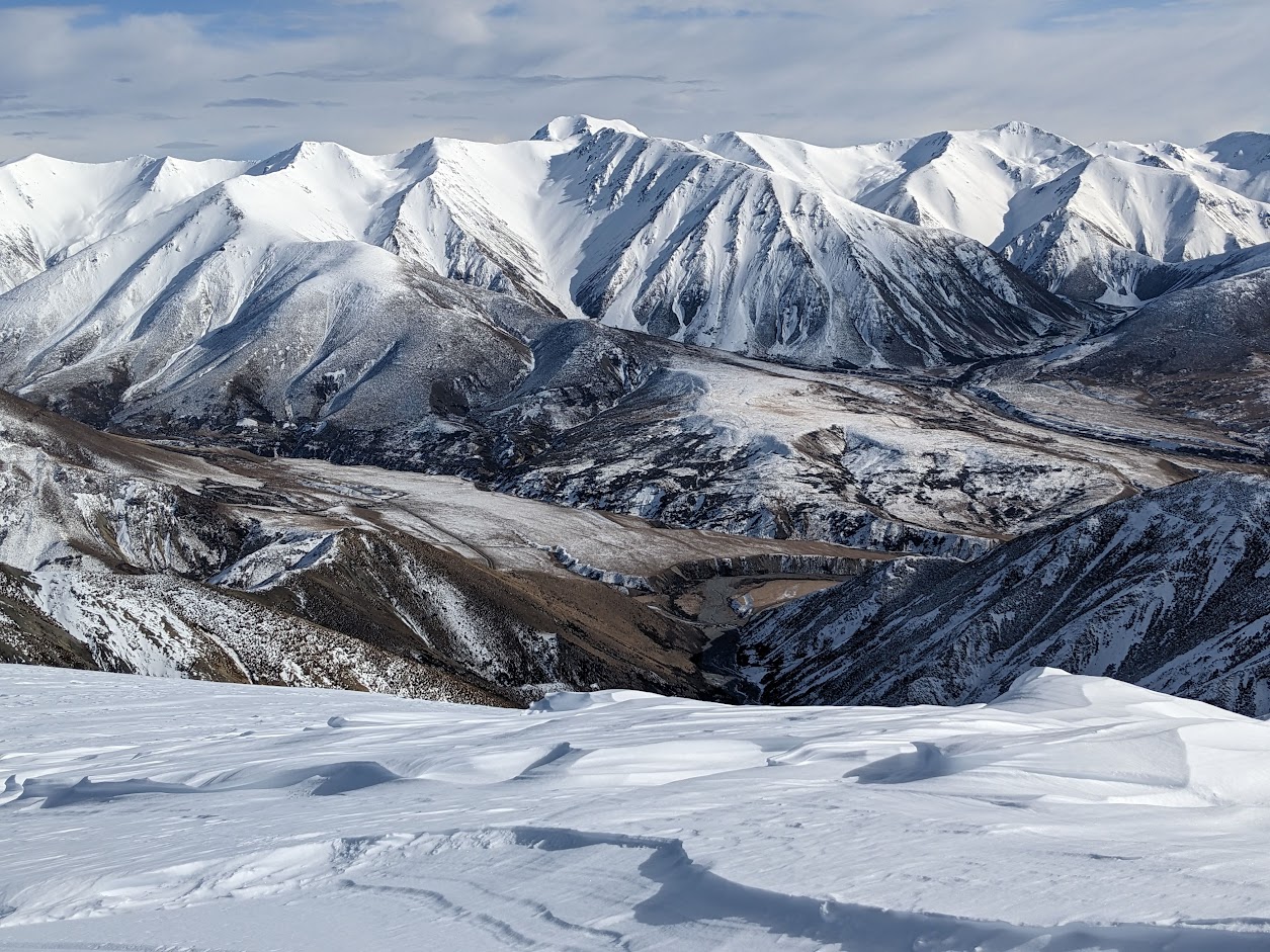
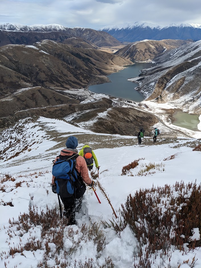
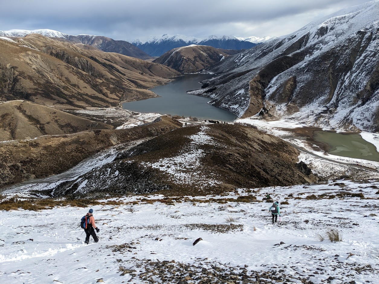
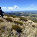
During our descent, we collectively decided to break away from the routine of descending via Foggy Peak and instead opt for a descent across pt1536. With a hint of adventure, we turn East before reaching Foggy Peak, navigating through matagouri, tussocks, and broom until we arrived at pt1536. After a brief discussion, we agreed that the most efficient route down was the prominent West ridge that eventually turned South, guiding us all the way to the base of the ranges. Surprisingly pleasant descent, I must say. Naomi and I managed to hitch a ride back to Porters Pass, from where I returned in a car to pick up the remainder of the CTC crew. The refreshments at the Darfield pub were a welcome treat.
Stats: 14.5 km, 7h 30min, 1350 m ascent
Participants: Michal Klajban (leader, scribe, GPX), Xiaoqiu Jiang, Alan Chapman, Benjamin Still, Naomi Wells, Emma Rogers
Tramped on 12th August 2023.
Jiang’s video: https://youtu.be/4c0WuaRHCNQ
The route taken on the NZ Topo Maps.
Photos


Map
Max elevation: 2011 m
Min elevation: 841 m
Be the first to comment on "Castle Hill Peak winter ascent"