It’s been less than a couple of years since I did the Mt Somers Loop track in a day. I remembered that when I did it in 2021, it turned out to be harder than I originally thought. So I put the trip up on the CTC website, wrote the description, and guess what? It turned out to be harder than I originally thought. My brain is very picky when it comes to storing memories, as it only remembers the good bits. It would be good to warn all my future trip participants that my trips are usually harder than the description says. Anyway, let’s briefly sum up the day.
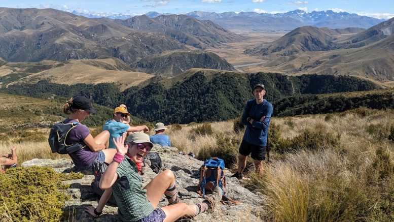
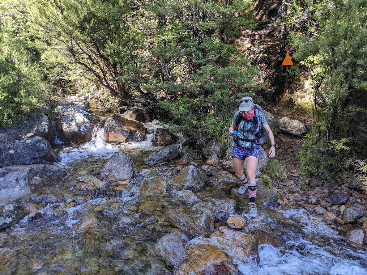
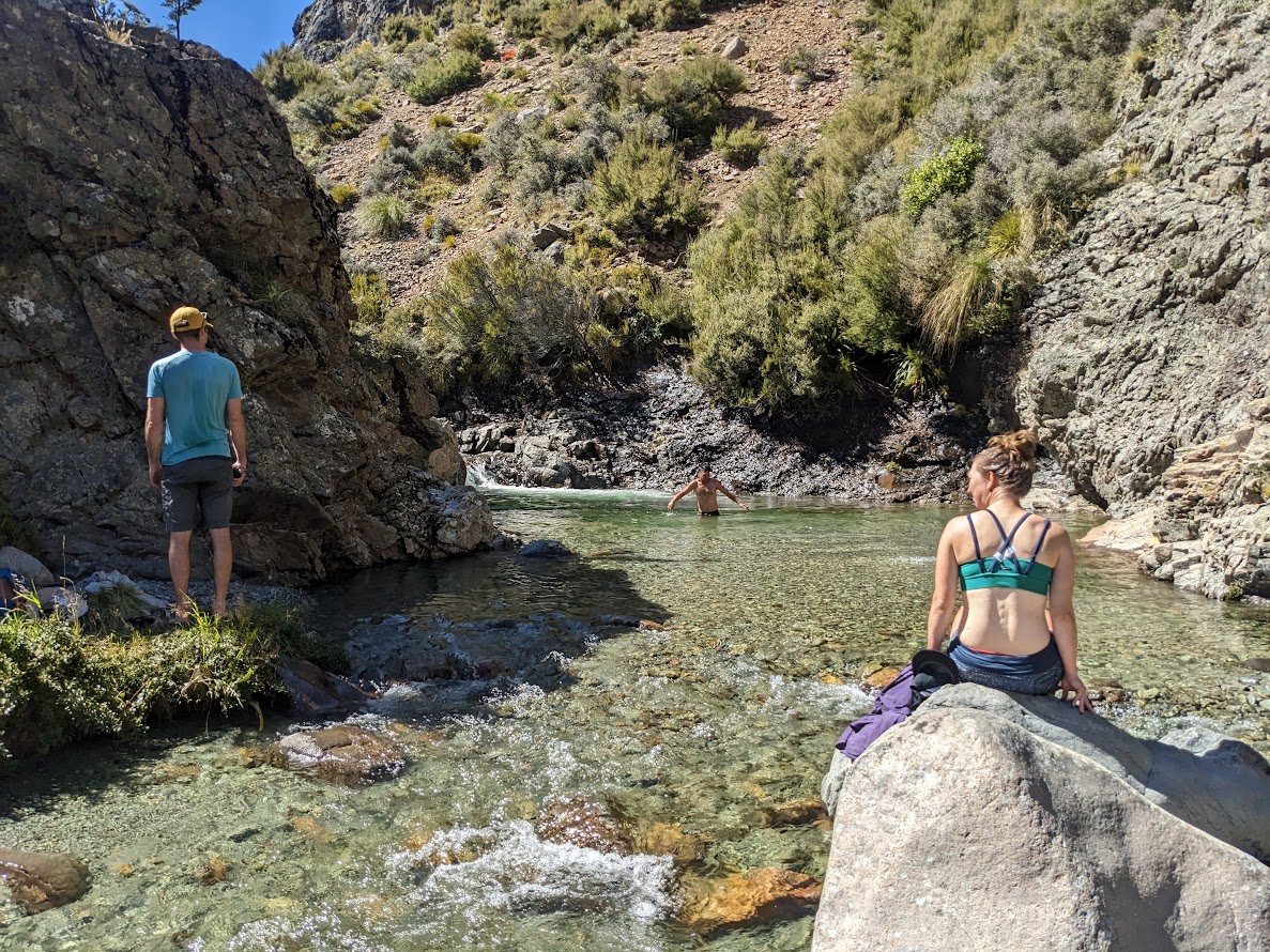
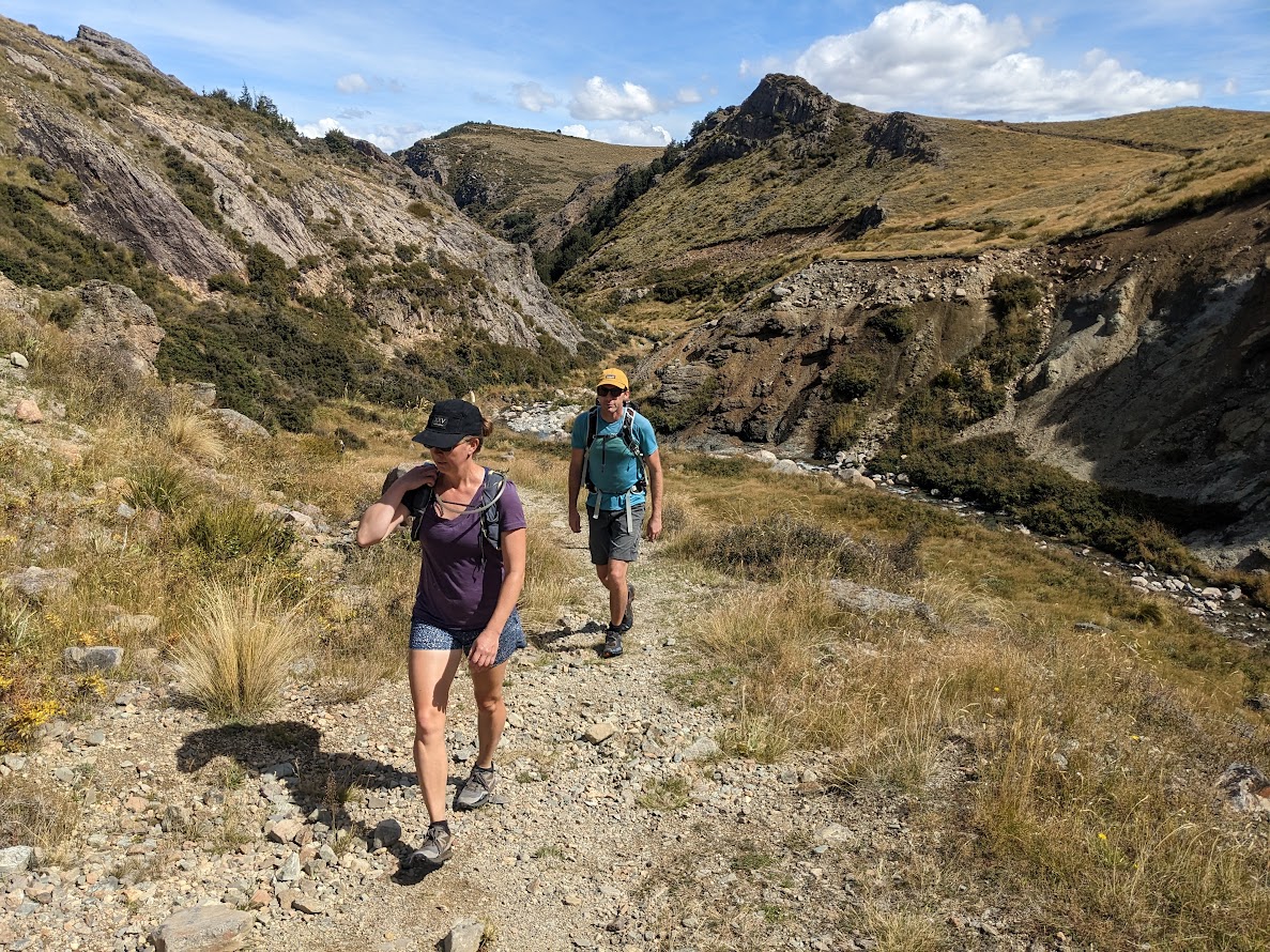
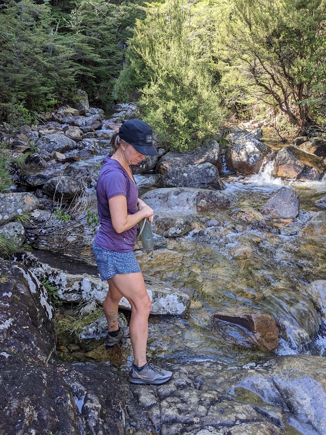
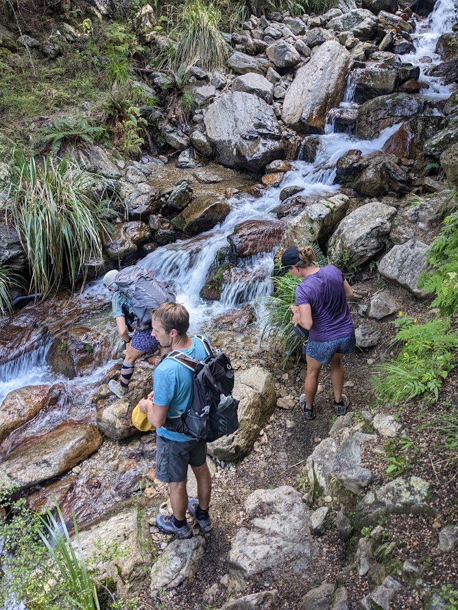
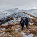
There were seven of us. We left Z Russley at about 7 AM and went straight to Sharpin Falls carpark. We started walking at 8:30 AM and slogged up to Staveley Hill, where we took the first break. The sun was already pretty strong. We continued along the Mt Somers Loop track, which had surprisingly many ups and downs. The final slog to the bus stop required some refreshments before we descended down to Morgan Stream. We couldn’t resist having a dip in the blue pool about 50m east of the bridge.
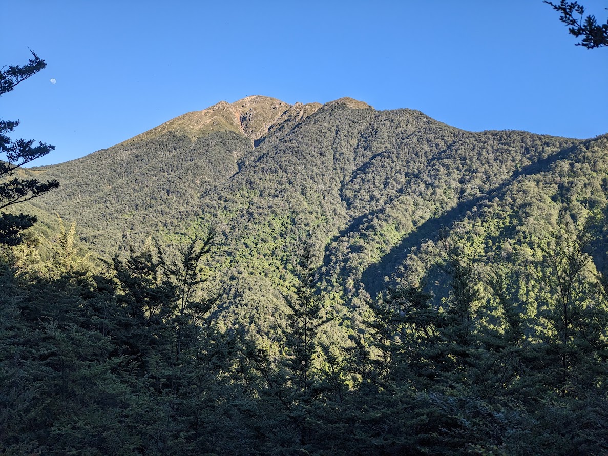
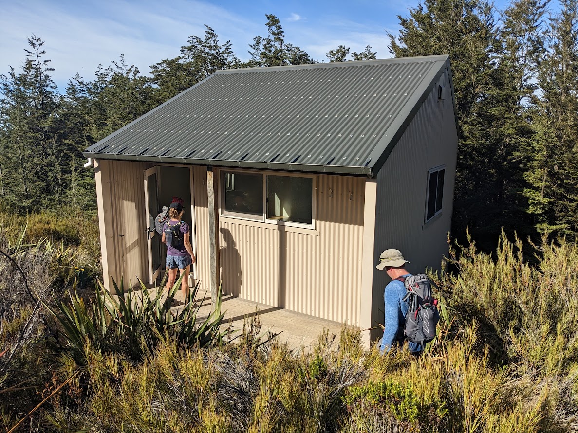
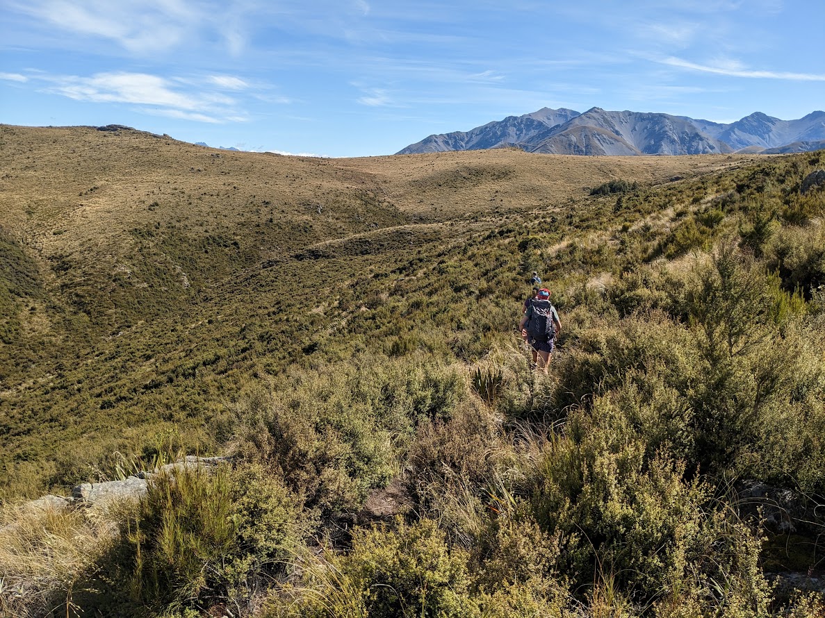
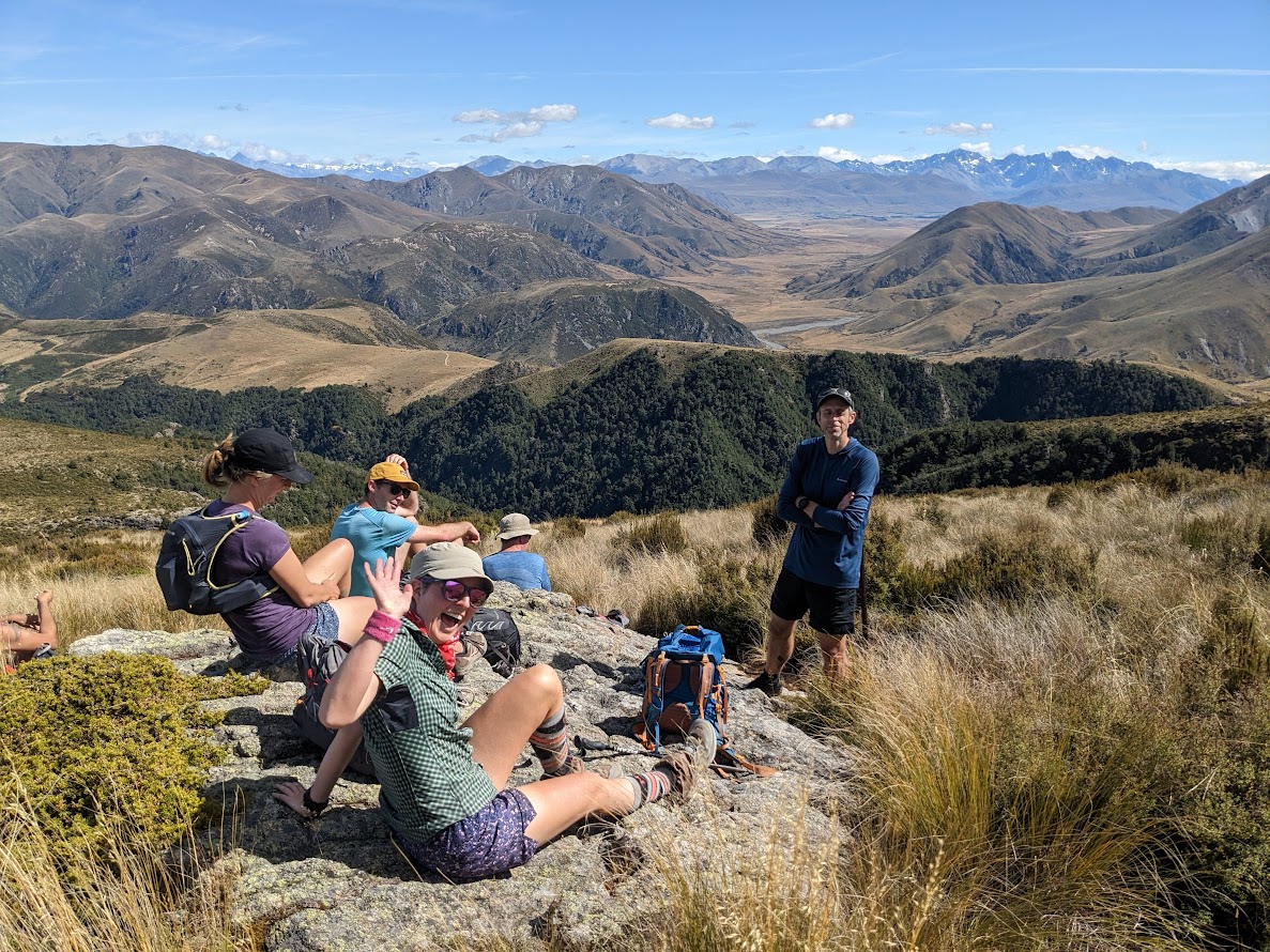
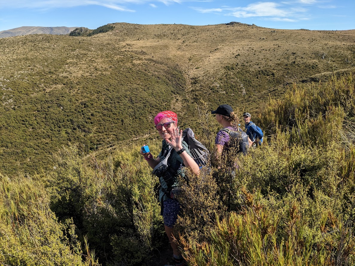
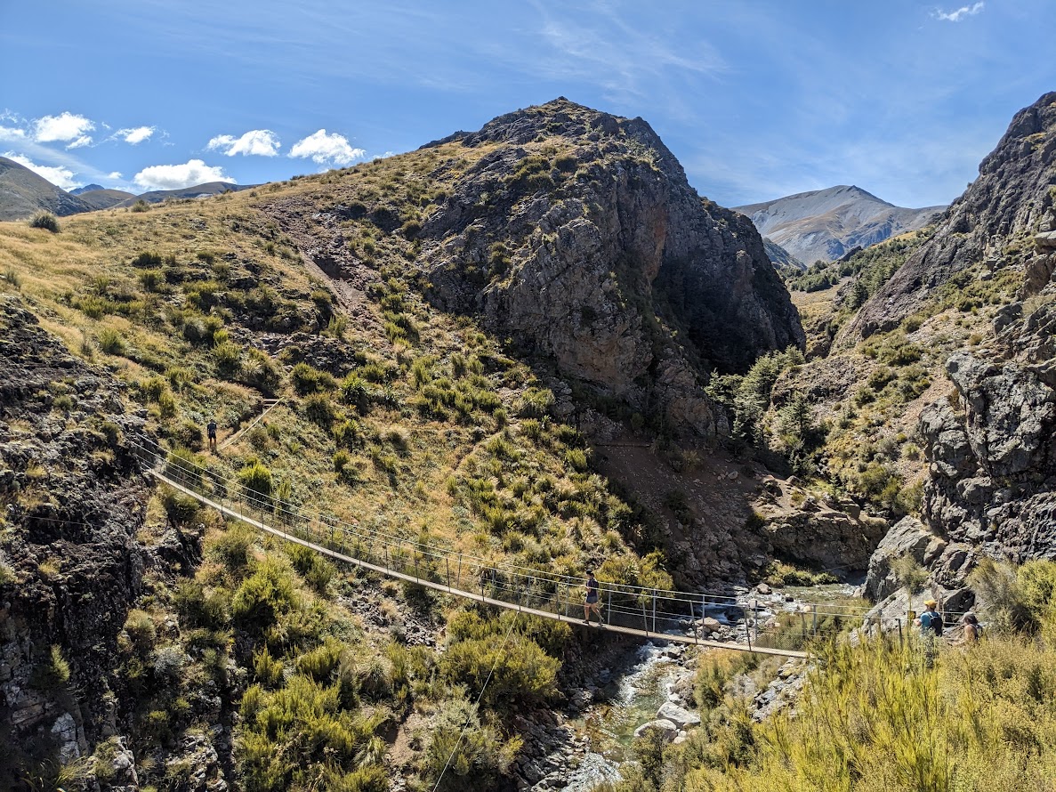
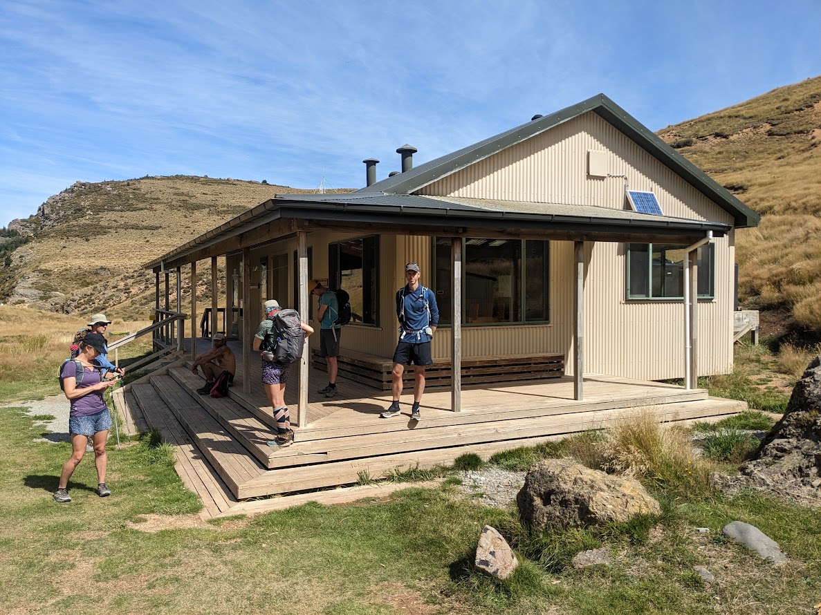
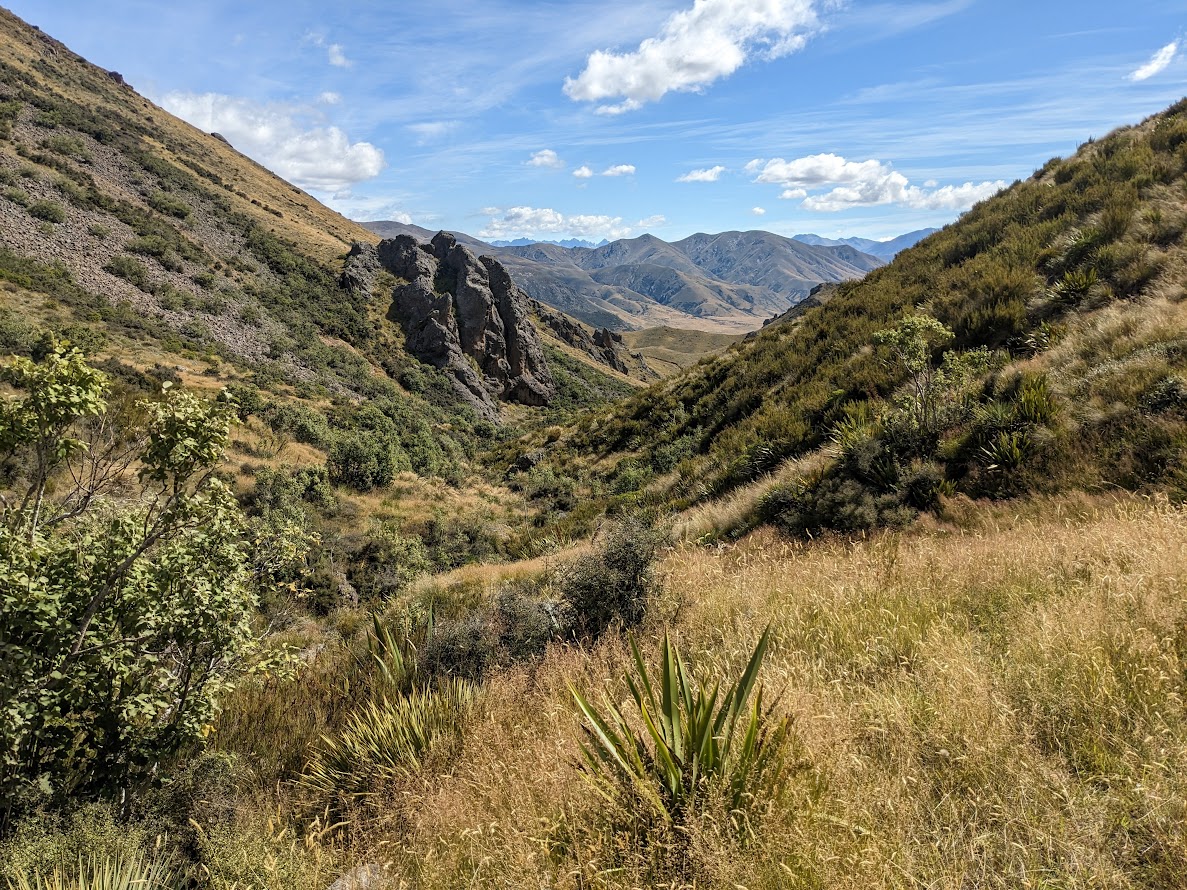
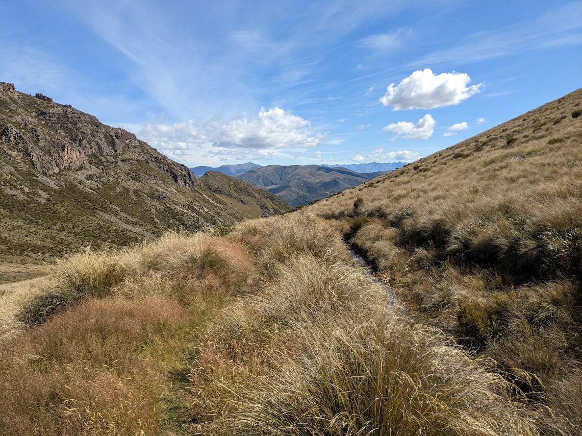
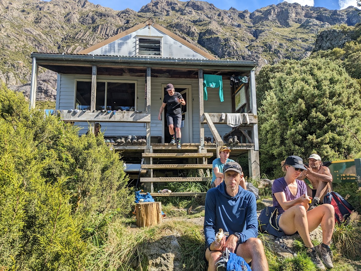
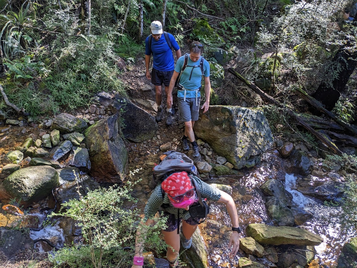
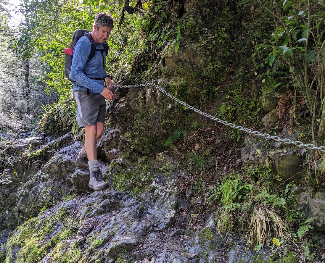
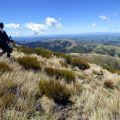
After a decent break at Woolshed Creek Hut, we continued towards the saddle at 1180m. This part was quite long and hot, but had some increasingly interesting views with lovely sparse vegetation and rocky gorges. At Pinnacles Hut, we took our final longish break and prepared for the last battle – Pinnacles Hut Track. The track seemed to be better than last time when we came across a lot of slips. It’s been all fixed up now, though nobody built a tunnel through Duke Knob, which is this circa 140m last hill before the carpark. Simon had a beautiful comment on social media about the nature of the trip: “Dear god please make it stop” edition.
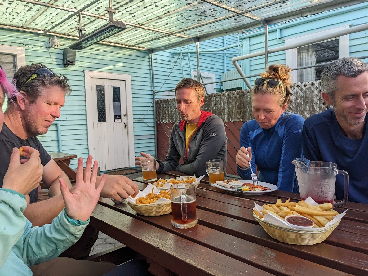
It was a pretty good day out with a quick, mobile party. Good company too.
Stats: 27 km, 9h 30min (includes some decent breaks), 1900m ascent
Participants: Michal Klajban (leader, scribe, GPX), Chris McHarg, Benjamin Still, Simon Barr, Emma Rogers, Geoffrey Cornelis, Naomi Wells
Tramped on 11th March, 2023.
Photos


Map
Max elevation: 1183 m
Min elevation: 462 m

Be the first to comment on "Mt Somers Loop Track as a day trip"