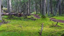
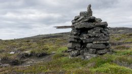
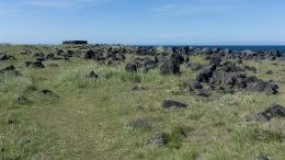
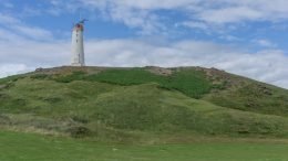
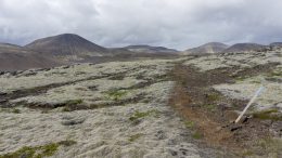
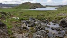
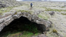
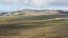
On the Upplandsleden Trail from Knutby to Gimo

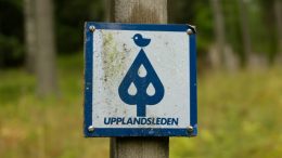
After seeing the lovely Norra Lunsens and walking a few kilometres along the Upplandsleden Trail, I decided to give this long distance hike a try for a bit longer. Upplandsleden is about 448km long and winds alongside Uppsala, the capital of Uppsala County in southern Sweden.


Exploring hiking trails in Norra Lunsens

Norra Lunsens is a nature reserve south of Uppsala, Sweden. It’s easily accessible by public transport (eg. bus stop Fjällfinas Kåta) and kind of a must for every hiker visiting the city.


Why Rock Stacking Hurts the Wilderness

People have been marking their trails by stacking rock into piles for thousands of years. The reason is simple: it’s the easiest accessible material and it can last for ages, literally. Even now you can meet rock cairns all over the world from Himalayas to Iceland, and they genuinely can help people with navigation through wilderness.


Coastal hike in Snæfellsjökull National Park: the longest coastal trail in Iceland?

Snæfellsjökull National Park is a great place to go hiking in Iceland. It’s very close to Reykjavík, at the far end of Snæfellsnes peninsula, and it’s an area which definitely deserves a detailed exploration and there are many hikes you can do. Of course, the most prominent one is to the top of Snæfellsjökull, the 700,000 year old stratovolcano where Journey to the Center of the Earth by Jules Verne takes place.


Happiness in hiking

Sometimes, when I hike, I experience true happiness in its simplest, plainest form. It’s not in the past with somebody else or in the future in a different place. It’s there, with me, my old hiking boots, a cool breeze, an oak’s shadow, a rusty wooden knife and a ripe avocado.


Reykjavegur, stage 6: Djúpavatn – Grindavík

The shortest stage of the trail is still very dry and volcanic but gets a bit busier thanks to a nearby main road. At the end of the stage it’s possible to make a detour to the famous hot pools, Blue Lagoon, or the city of Grindavík with a supermarket. There isn’t any water on the trail itself. Very vaguely marked.


Reykjavegur, stage 5: Djúpavatn – Brattháls

The fifth stage starts by crossing a colorful volcanic range. An easy grassy part is followed by an extensive mossy lava field. Only vaguely marked overall, and the initial range not marked at all(!). There are tiny streams in the grassy part but no water at the end(!).


Reykjavegur, stage 4: Kaldársel – Djúpavatn

First part is forested but after the quarry it gets volcanic again. Marking is sometimes confusing, especially around the quarry. Water only at the start (a small river flowing out of the reservoir) and the end (a tiny stream going to the lake Djúpavatn).