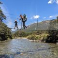
We were craving adventure after spending so many weeks in lockdown! The first weekend showed promising weather, so Sebastian, Anna, and I drove to Boyle Village. We parked our car at a St James car park, crossed the bridge over Boyle River, and chose a vaguely marked trail that would lead us into the bush.
Anna was a few months pregnant, and we anticipated that this would be her last trip with a backpack. Despite that, she managed to drag it up to the bush line. From there, I decided to go ahead to the ridgeline at 1500m, leave my backpack there, and return to take hers.
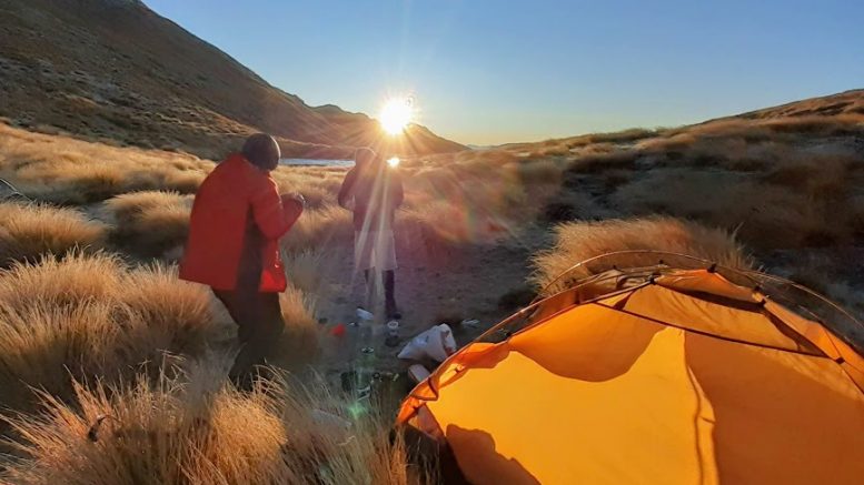
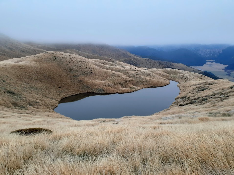
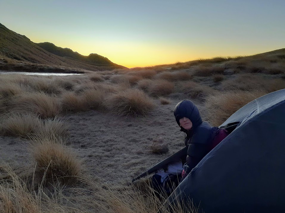
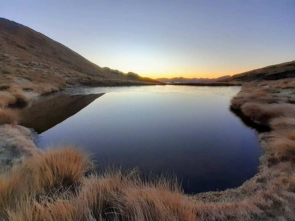
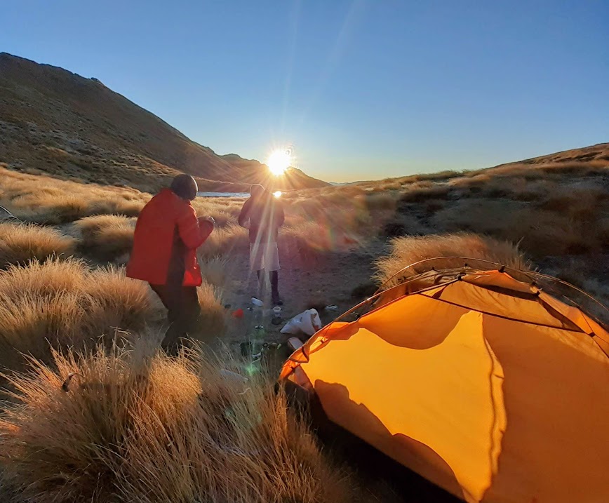
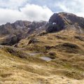
We discovered an amazing camping spot by one of the tarns at 1500m, the second tarn along according to NZ Topo maps. The evening turned pretty chilly, so we didn’t stay outside our sleeping bags for too long. In the morning, it was a bit nippy. Condensation on our tents had frozen, our water bottles had icicles inside, and there was about 3 cm of ice on the tarn. We broke through the ice, collected some water, brewed a lot of tea, and then followed the ridge line toward Mt. Faust.
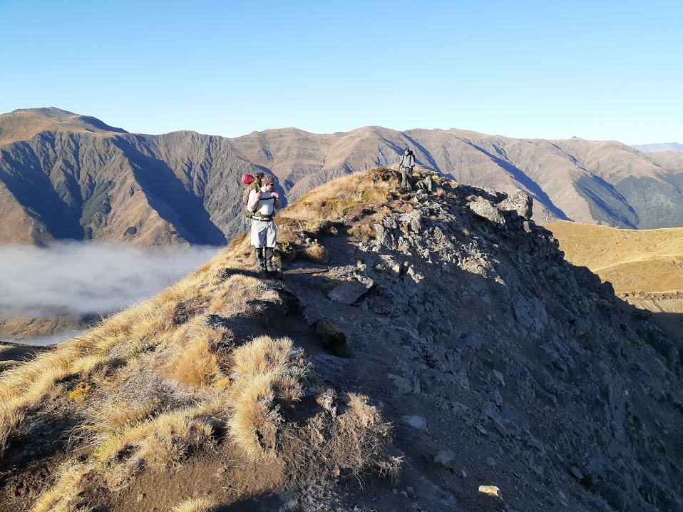
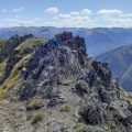
The ridge was sharp with steep drop-offs on both sides for most of it, and the muddy sections without tussock to provide traction were quite slippery and potentially dangerous to traverse in windy conditions.
Somewhere before point 1712, we descended to the tarns under Mt. Faust. To avoid some bluffs, you have to loop around a bit, making it impossible to drop directly from the top ridge onto the ridge leading down to the river. However, there was no clear trail to guide us from the tarns to the ridge. So, we slid across the hillside, which was steep in places and included a short scramble across a small boulder field.
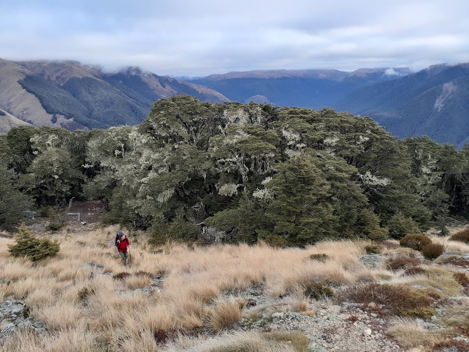
Once we reached the ridge, it became relatively easy to follow down to the bush line. The trail through the bush was quite overgrown in places, with many fallen trees and branches. Sebastian tried to clear it up a bit, but it really needed a motivated tramper with a saw and a spare weekend. After some bush bashing, we finally made it to the river valley, from where we followed the St. James Walkway back to our cars. In comparison to the bush bashing on the ridge, this part of the St. James Walkway felt very fast and resembled a Sunday morning stroll!
Tramped on 16-17th May 2020. The estimated walking time was 8h 10 minutes. The length was 20 km with a 1300 m ascent.
Map
Max elevation: 1720 m
Min elevation: 573 m
Be the first to comment on "Camping at Mt Faust, Lewis Pass"