- We left Christchurch at 7 AM. It’s about 2.5h drive to Deer Valley campsite. Next time, I would consider leaving even earlier.
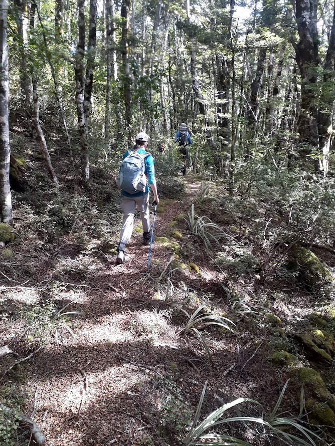
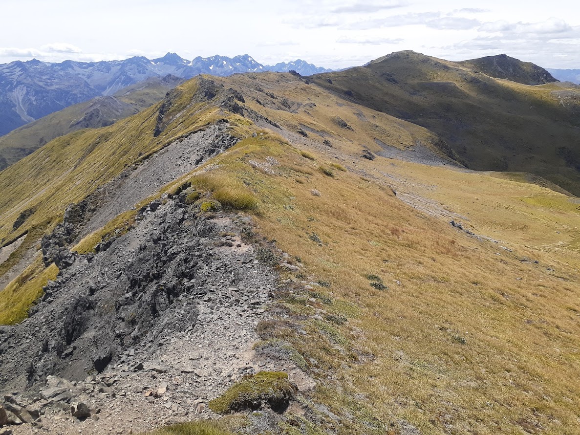
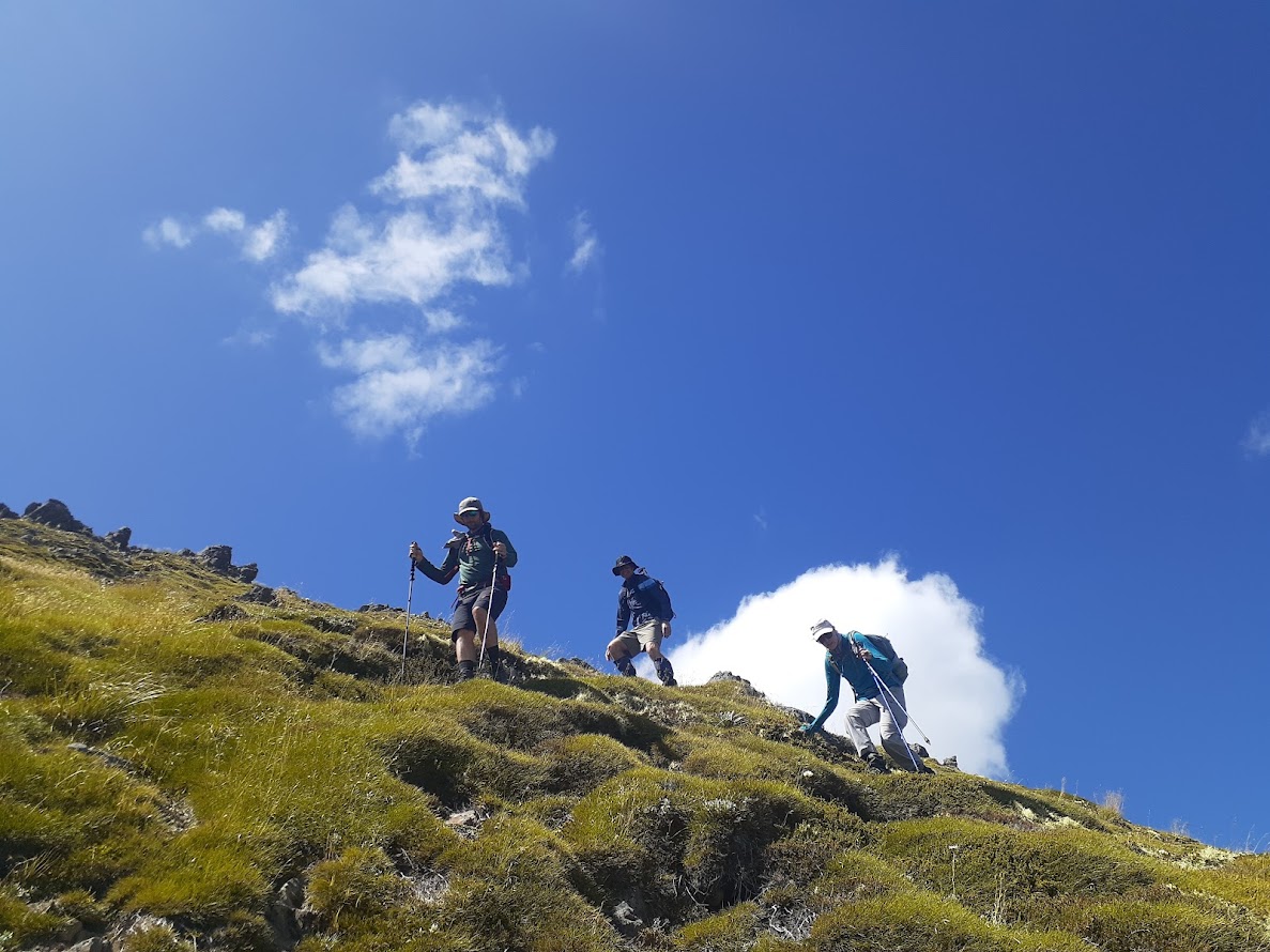
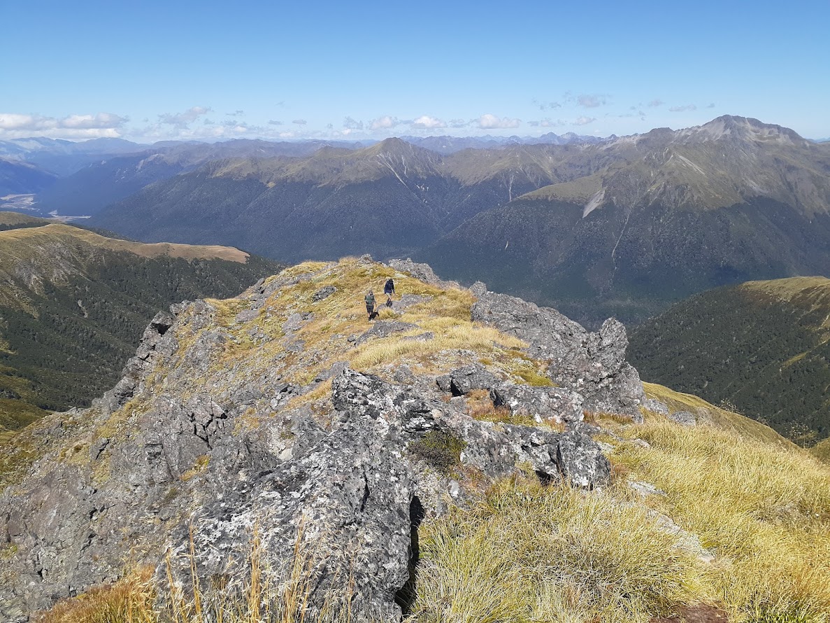
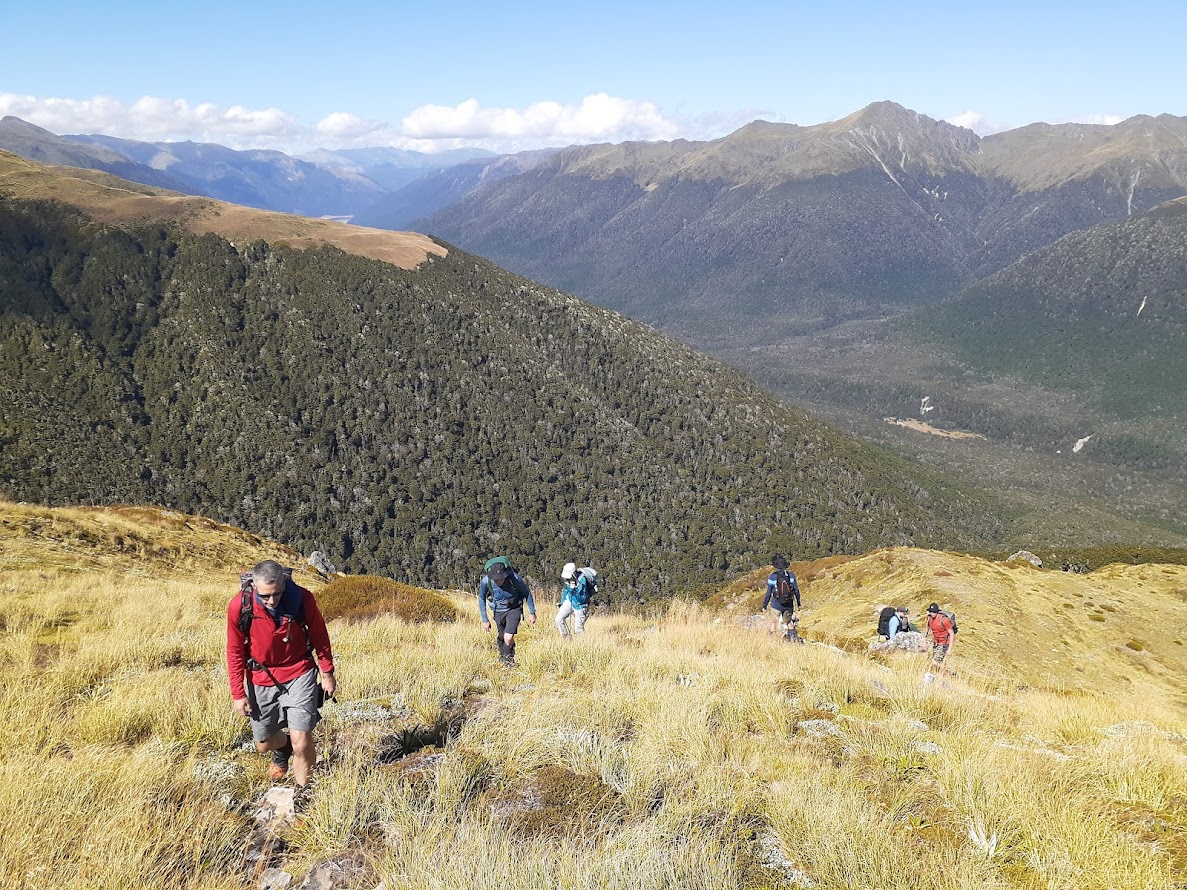
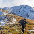
- Foleys Track up to Trovatore is in pretty good shape. There are no markers above the bushline, but in good weather conditions, the ridge is easy to follow all the way to the top.
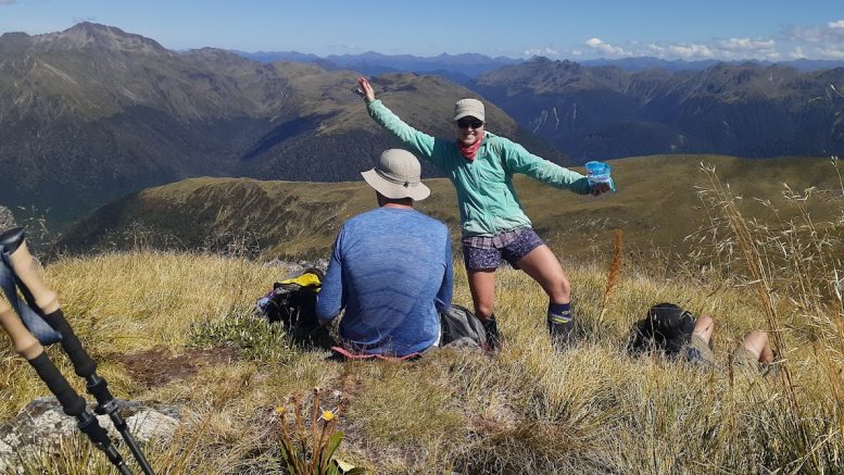
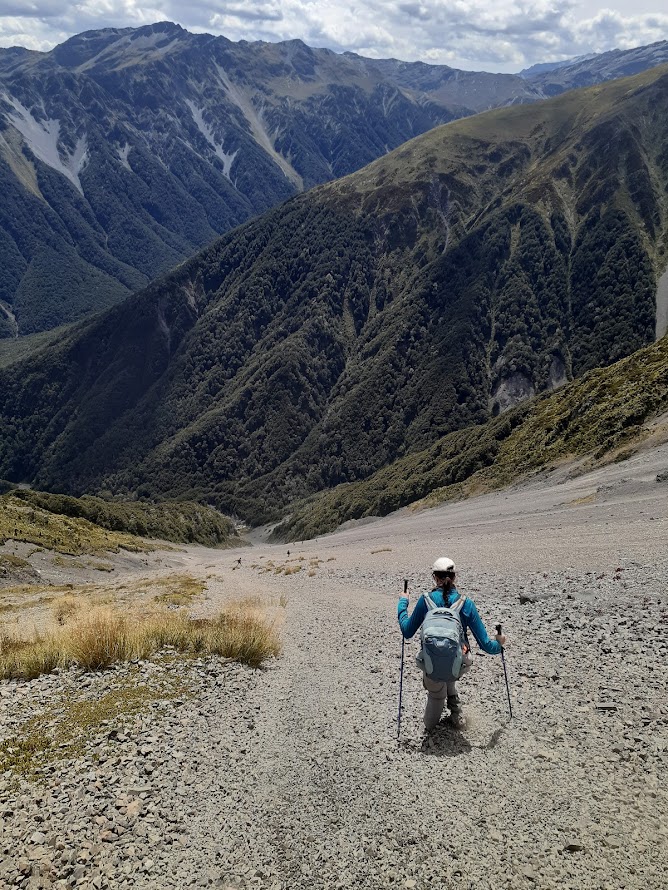
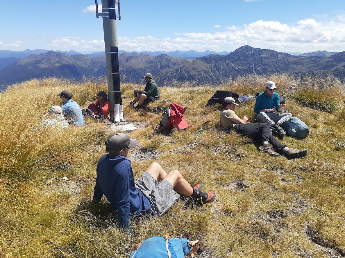
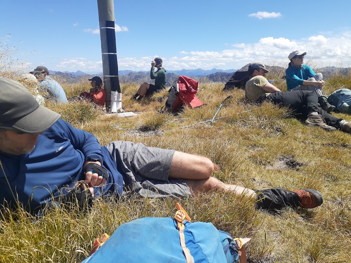
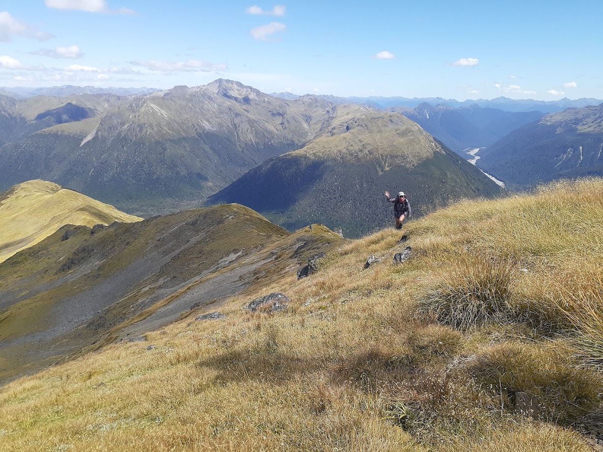
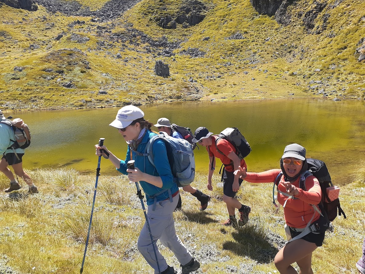
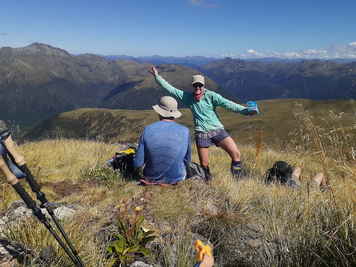
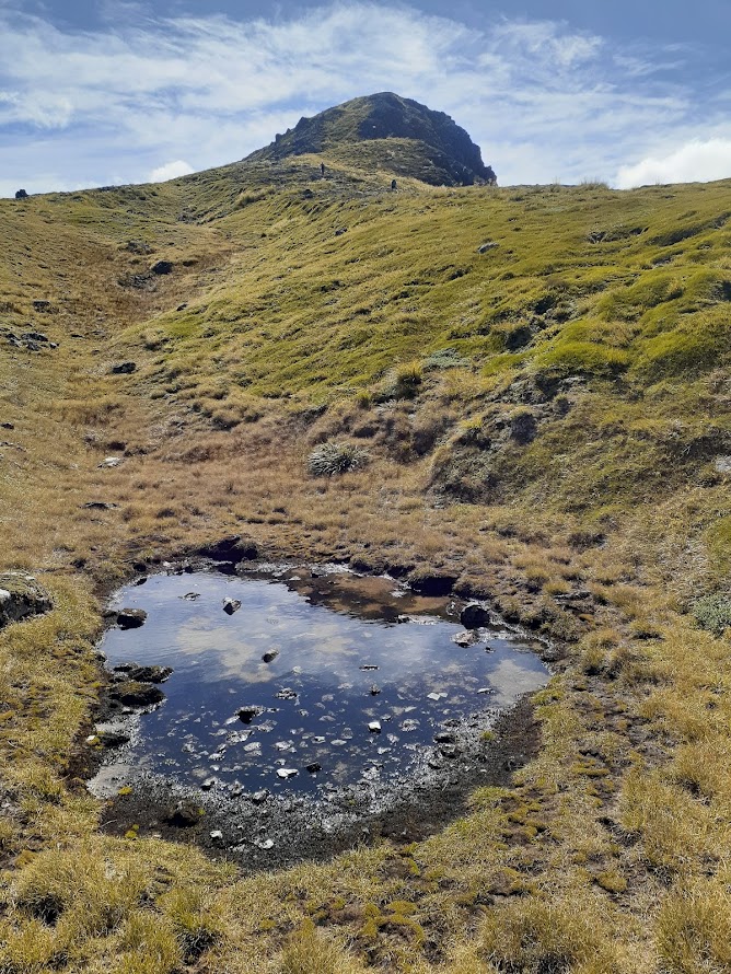
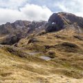
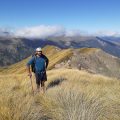
- On the top, we took a good break and started descending down to the tarn at around 1510 m contour. The descent to the tarn is on a steep tussocky slope and could be problematic during wet conditions. From the tarns, it’s a straightforward route to the top. On the top, we had second lunch and continued along the ridges.
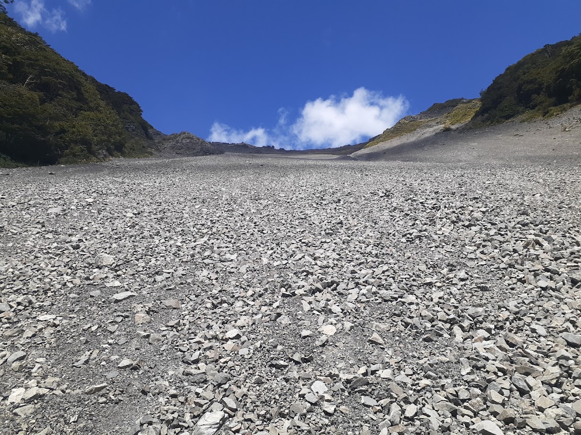
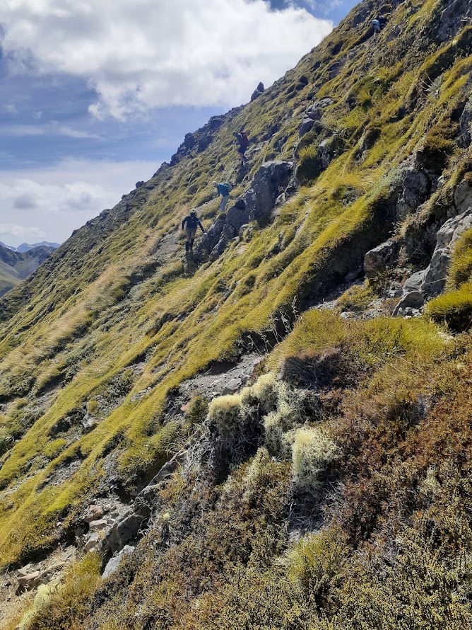
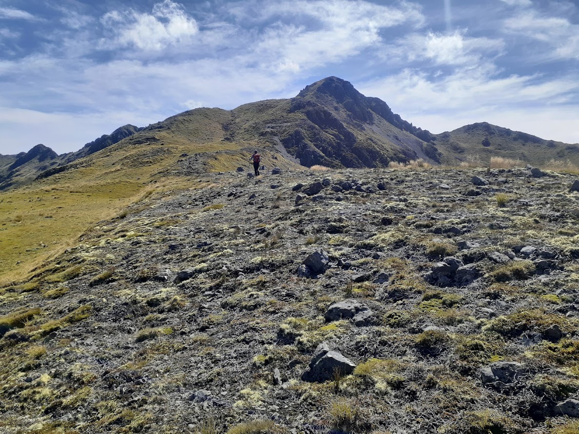
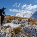
- To get down to the stream that flows from Henry Saddle, we decided to take a long scree NW of pt1755. The scree looks better than it is, and it’s only good in the middle of it. We found it quite tricky to get there and ended up splitting into 3-4 small groups, each group taking a different approach. My group continued along the tussocks on the TL of the scree to about 1580m contour before traversing to the middle of the scree slope. Another group traversed to the mid section on the top of the scree and Byron just went straight down. Once in the middle of the scree, it’s actually pretty good travelling. We reached the bottom of the scree at 3 PM.
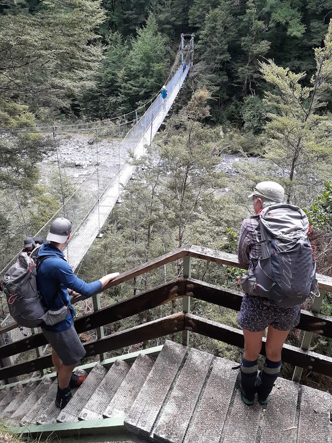
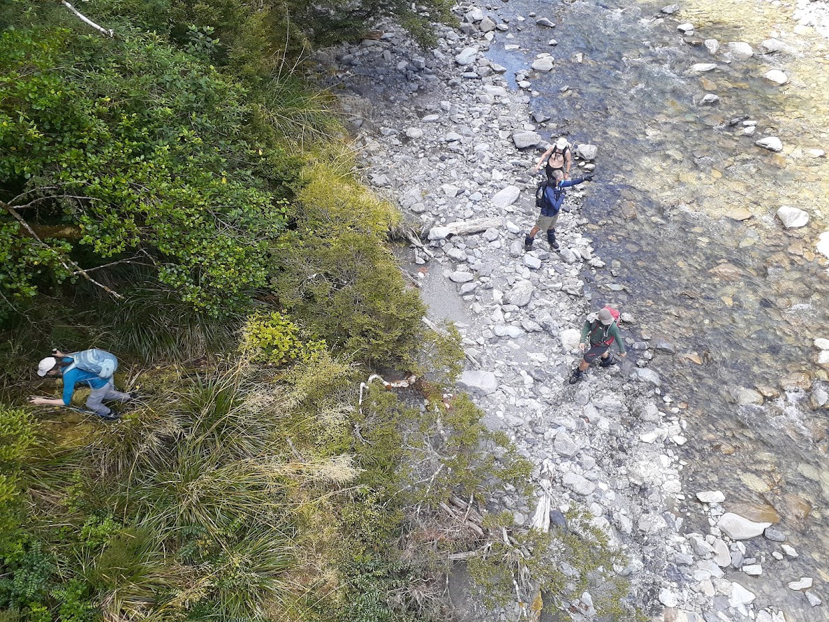
- Once down in the stream, it’s just a lot of boulder hopping in the river bed. When we joined Maruia River, after a while we came across a bridge that is part of St James Walkway. The track that leads to the bridge is right under the bridge on the TR of the river. Apparently, it’s possible to scramble on the TL too but it didn’t look that nice.
- When we got to the St James Walkay track, we quickly reached St James carpark. It took a while to pick up a vague track behind the toilet that took us down to Deer Valley Campsite which we reached by 5 PM.
Rough stats: 17 km, 7h 20min, 1500 m ascent
Participants: Michal Klajban (leader, scribe, GPX), Emma Rogers, Chris McHarg, Alexander MacDonald, Jimmy Philpott, Benjamin Still, Adnan Yaqub, Mudassar Shahzad, Shana Dooley, Sam Garmonsway, Carmela Torbias, Alan Ross, Mark Anderson, Byron Harvey, Hamish Bennett
The route taken on NZ Topo Map.
Tramped on 12th February 2023.
Photos


Map
Total distance: 17393 m
Max elevation: 1773 m
Min elevation: 704 m
Download file: GPX-hikingisgood-com-nz-2023-Travers-To-Trovatore.gpx
Max elevation: 1773 m
Min elevation: 704 m
Be the first to comment on "Travers Peak to Trovatore in Lewis Pass"