Another 2 peaks in a day! I did it as a CTC trip as I committed this year to lead a trip a month. Main points from the trip (I have a baby you know, I can’t write novels anymore):
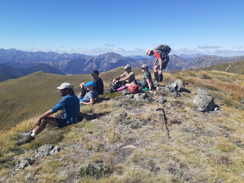
- There were exactly 10 of us. We took only 2 cars so it was a cheap trip!
- We reached the bush line in 1h 30min after leaving the carpark which was a phenomenal exercise.
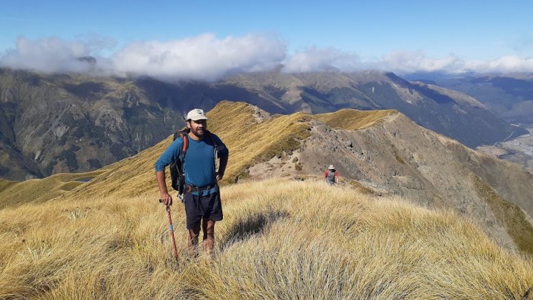
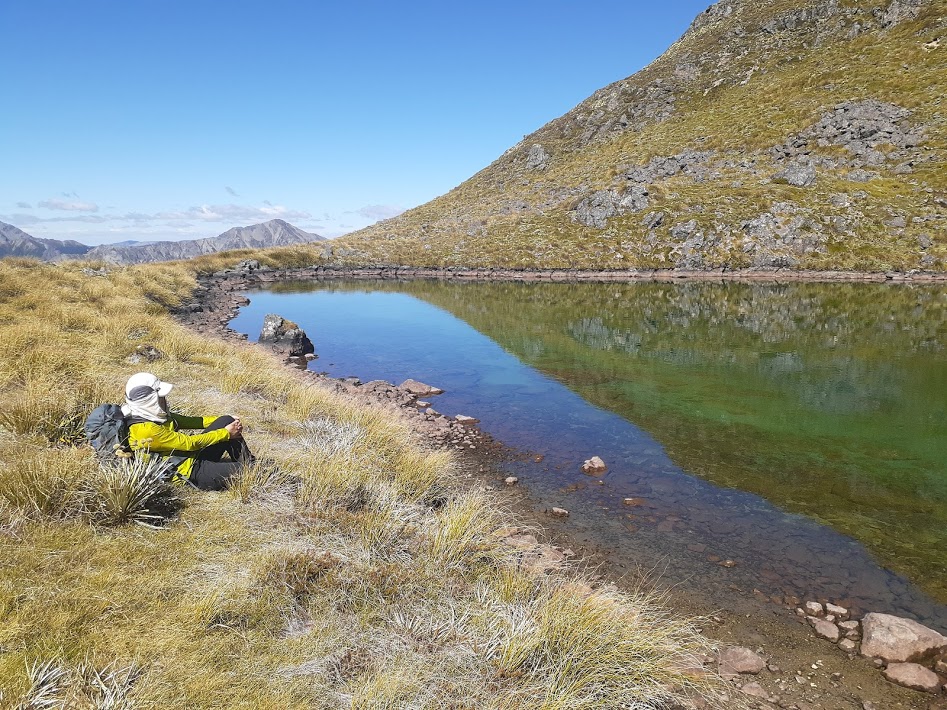
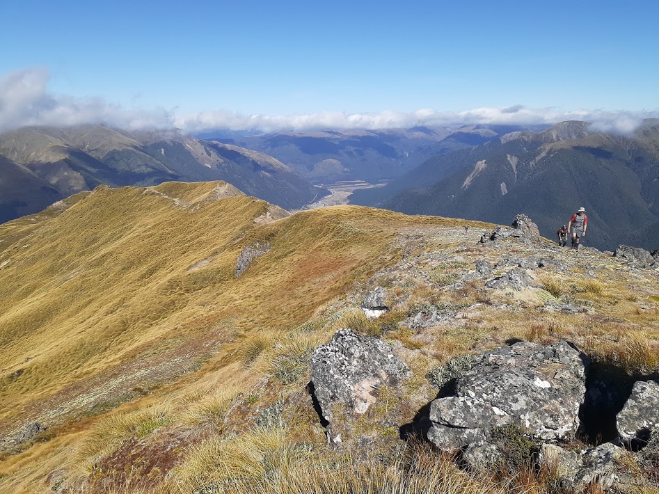
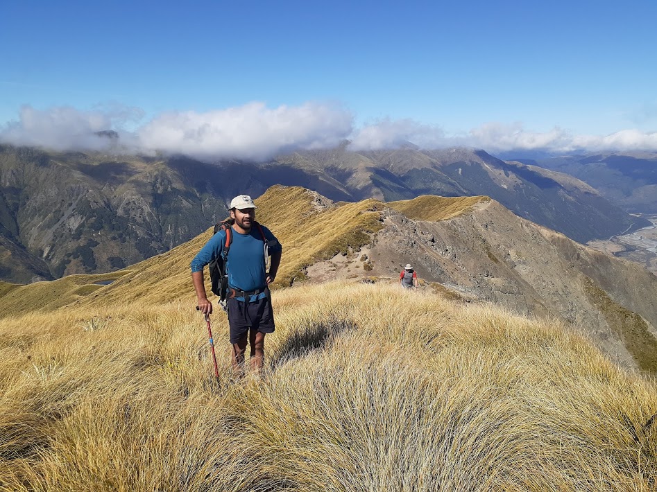
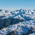
- The ridge to Mt Faust is just so lovely as the tarns under Faust.
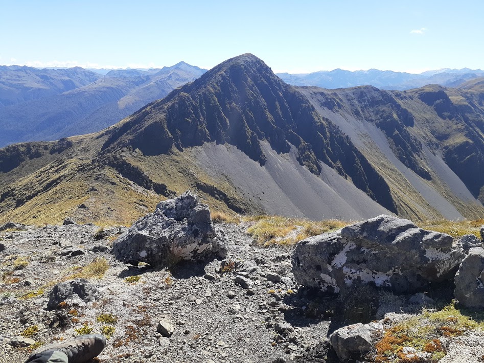
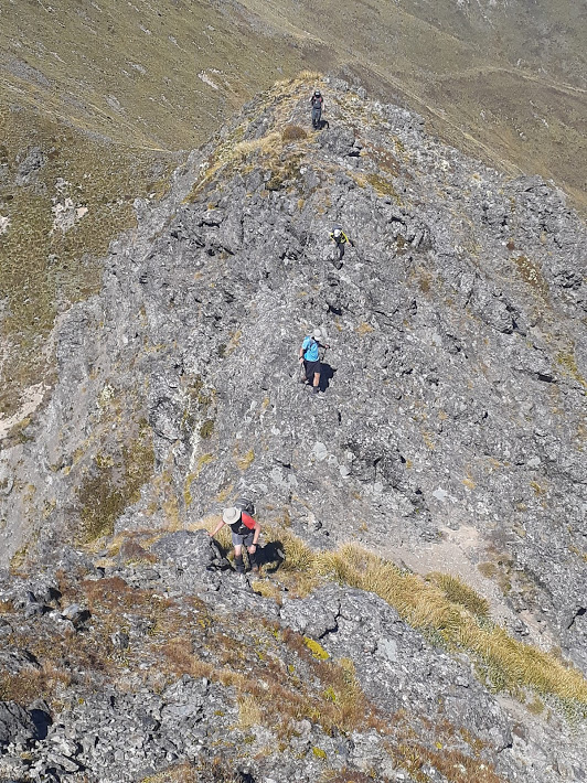
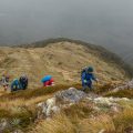
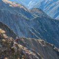
- From Faust to Mephistopheles the grassy path drops around 200m to the saddle. At the saddle, there are a couple of exposed places where some care needs to be taken. After that, it’s just an easy scramble to the top.
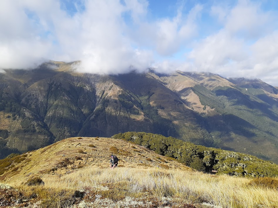
- We cut the track from Mt Faus by going directly to pt1607. Way down from Mt Faust to tarns is a wee bit steep at places and could become problematic in misty conditions as there are some bluffs. If cloudy, following the ridge to pt1661 and dropping there would be a more demanding but safer option.
- The track through the bush is overgrown. The Head of the track is by a rock cairn by the bush line. The head is overgrown too, just push through!
Everybody survived, and a cafe in Culverden provided some good refreshments. Jiang made a video, see https://youtu.be/4MoWgzYS6R4
Rough stats: 17 km, 1800m up, 7h 30min
Participants: Michal Klajban (leader, scribe, photos, GPX), Byron Harvey, Marc Bietola, Simon Barr, Jacqui O’Neill, Emma Rogers, David Sutton, Xiaoqiu Jiang, Peter Marinelli
Map
Total distance: 19336 m
Max elevation: 1744 m
Min elevation: 549 m
Download file: GPX-hikingisgood-com-nz-2021-faust-mephistopheles.gpx
Max elevation: 1744 m
Min elevation: 549 m

Be the first to comment on "Mt Faust and Mephistopheles"