Less than 2 years later I finally managed to come back to Mt Garfield. This time the party that I led was significantly larger than in 2020 (2 vs 11). The main reason for coming back was to find out about the track that we saw with Jacqui two years ago. The night before I managed to get a screenshot of the track from Boyle River Outdoor Education Centre which was very helpful and helped us to find the track without issues. And this is how the trip went:
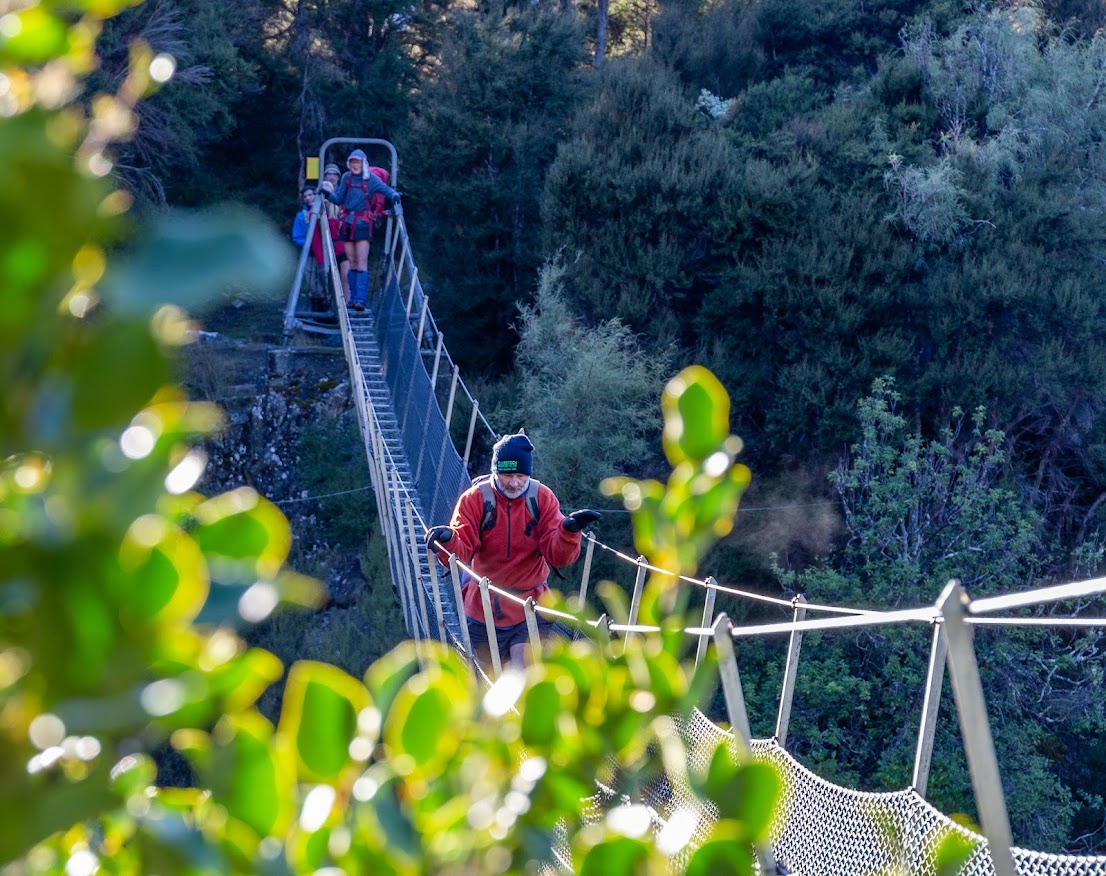
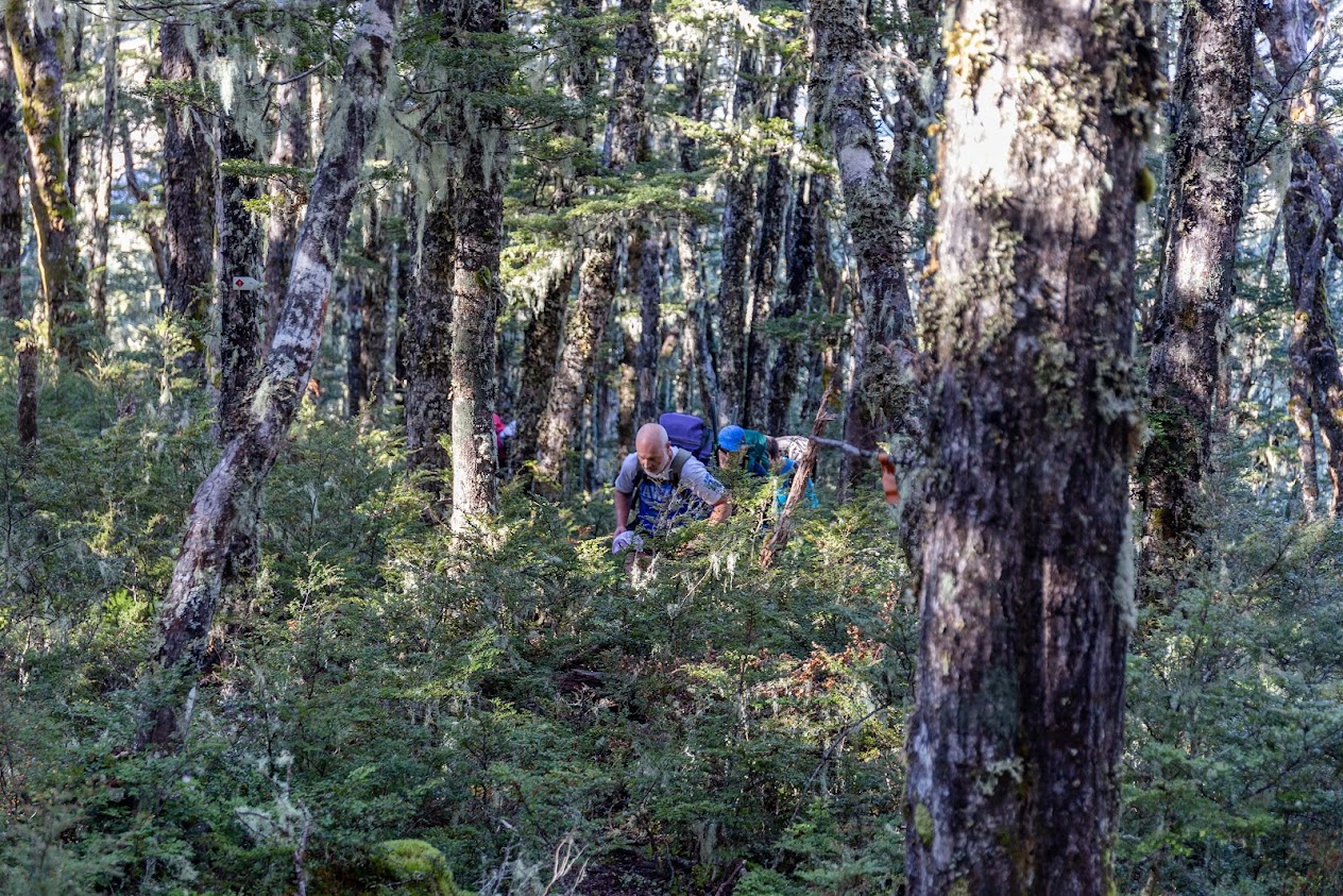
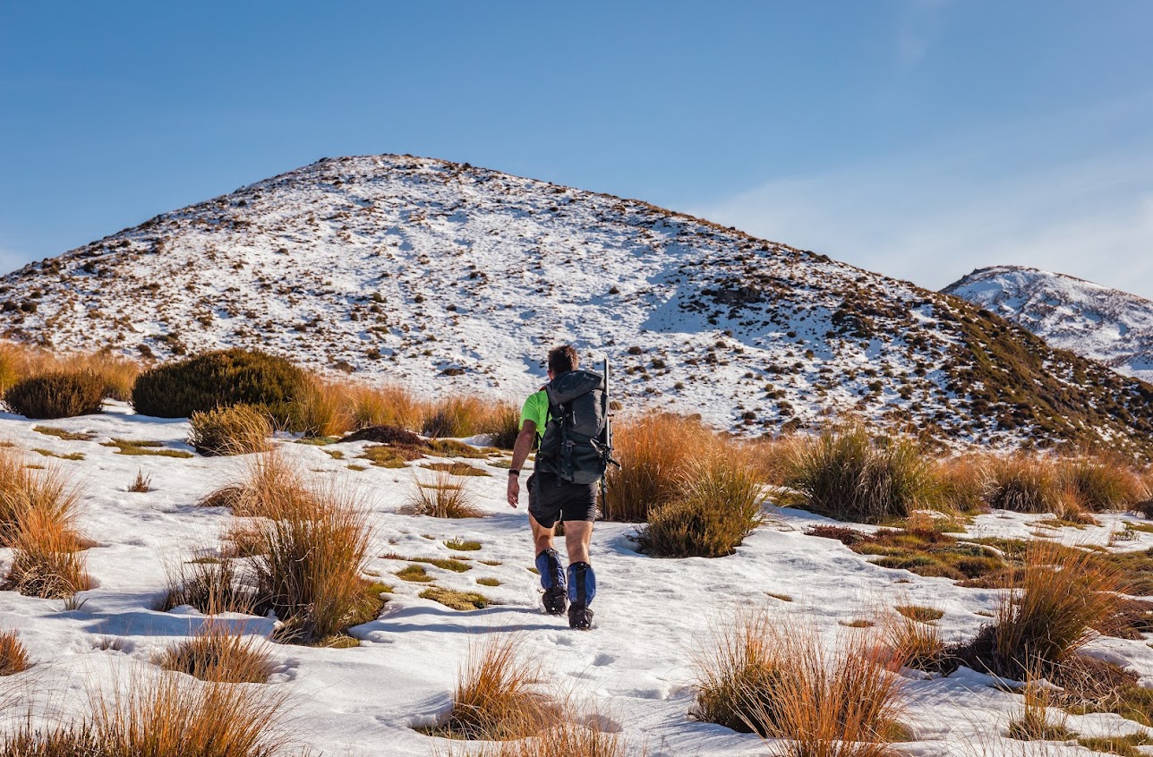
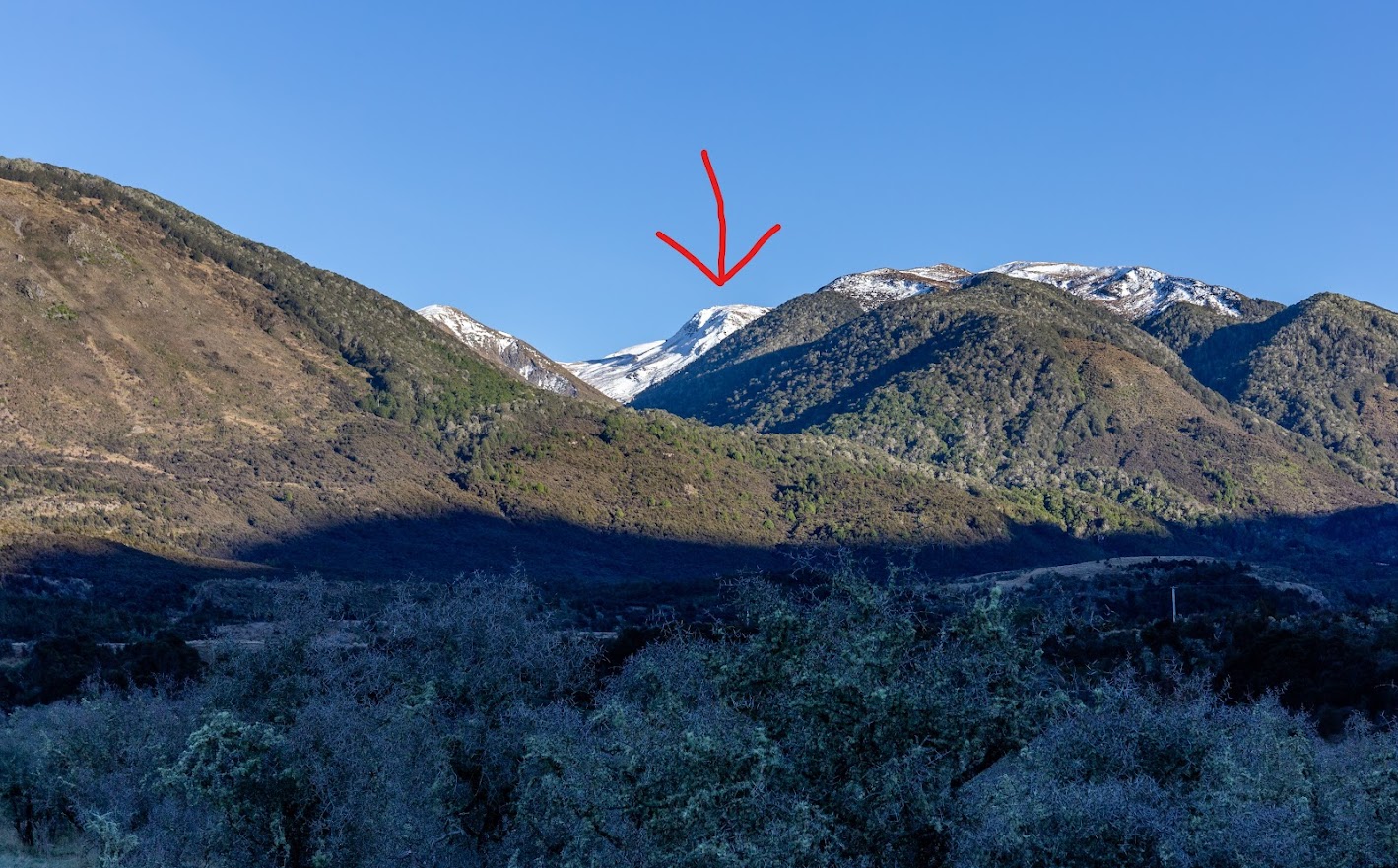
- We started off at Windy Point and followed Hope Kiwi Track towards Lake Sumner. After about 4.2 km, there is a small creek to cross (BU23 4691 8326, GPS -42.597448, 172.334075). Once on the other side, we followed the creek upstream on its TR for about 100 meters to a tree where a prominent pink triangle indicates start of the track. At first, it’s only vaguely marked with a sellotape but the higher we got, the better marking and the better track.
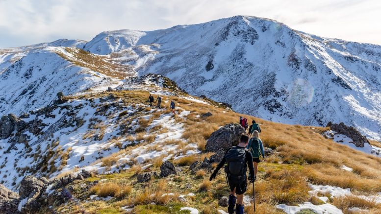
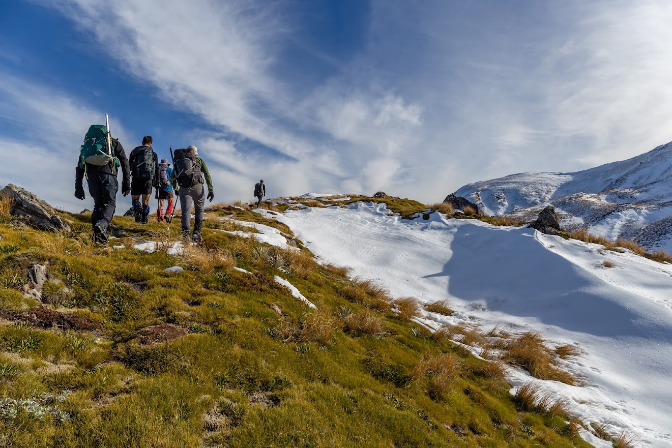
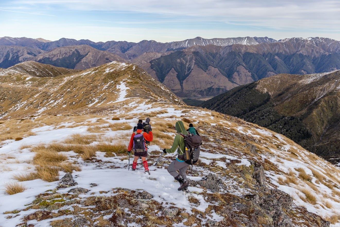
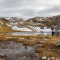
- The track led us to the ridge from where we continued along pt1261 and pt1239 where some epic campsites are located. It’s marked with permolat there. There may be some water sources (it’s really swampy at places) and there is a wee tarn between pt1514 and pt1536.
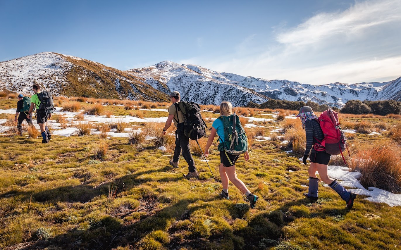
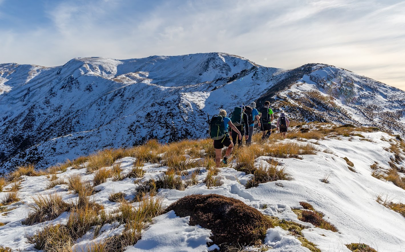
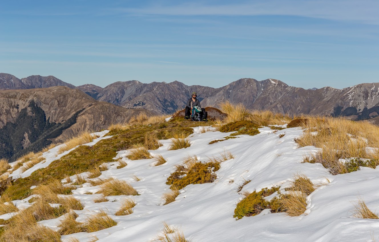
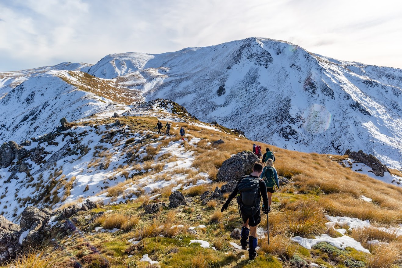
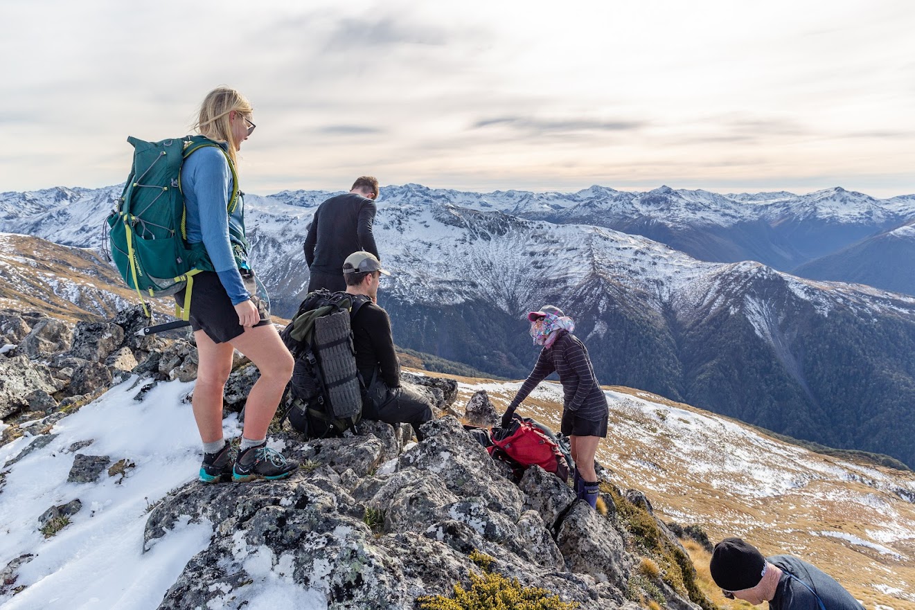
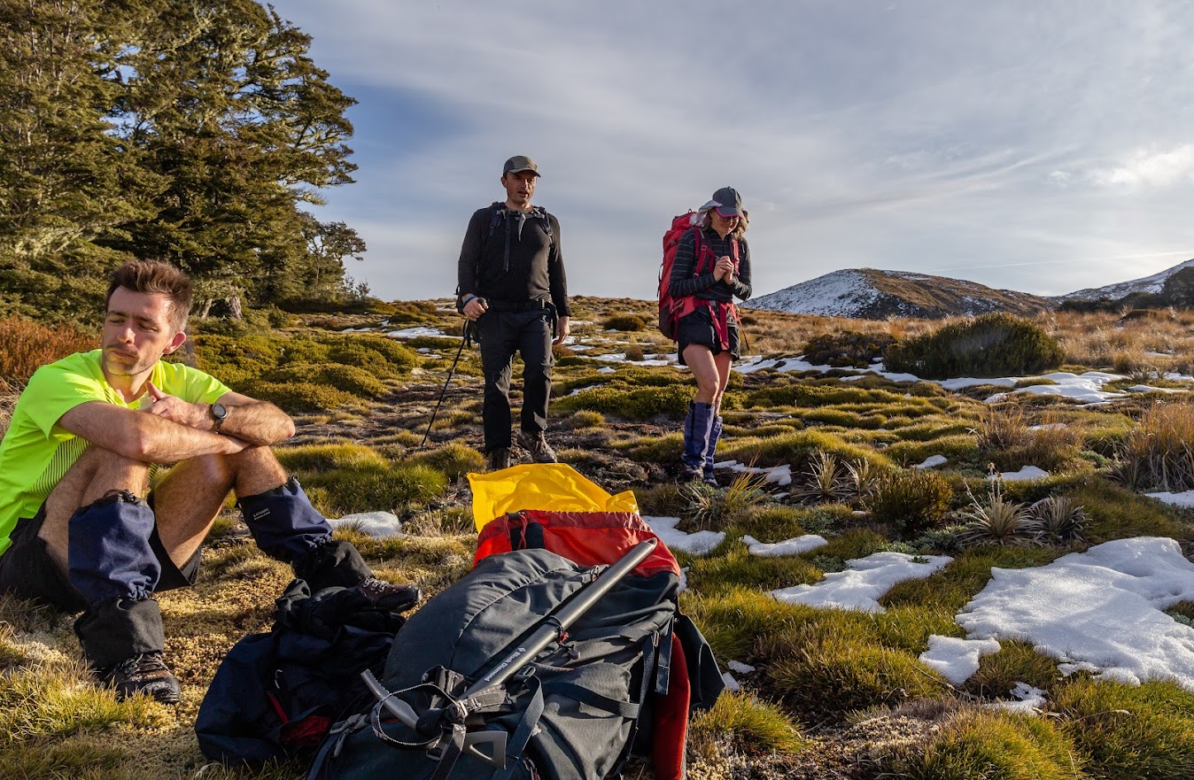
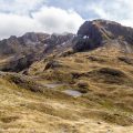
- From the clearing at pt1304 there is no need for a marked track anymore. We made our way along the ridge that gently but steadily climbs to pt1514 where we had lunch. By this point we gradually lost 3 members already who preferred to take it easy that day and enjoy the views rather than try to keep up with fast pace of the rest of us.
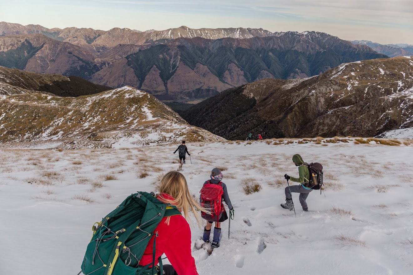
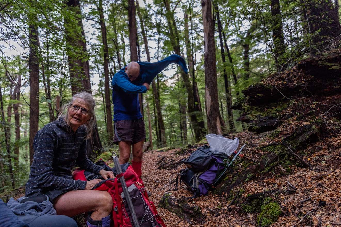
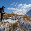
- Thick layer on top of tussocks slowed us down a bit and we reached the top at around 2 PM. After a brief look around we started to descent which was much easier than going up. We reached the cars just before the dark.
- On the way back, we stopped in Culverden pub which impressed me (again) with the speed of meals delivery.
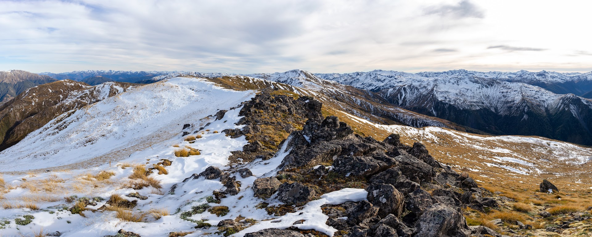
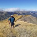
- The weather was pretty good that day and I can barely imagine to this in bad weather. It’s a long way and a long drive. Great flat areas on the ridge provide heaps of space for groups of campers to enjoy some good views over Lewis Pass. On NZ topo map, there are more tarns around pt1556 which could make for a great campsite when trying to to Garfield – Murray traverse. Maybe good plan for next summer?
Participants: Michal Klajban (leader, scribe, photos, GPX), Alan Ross, Marc Bietola, Jack O’Connor, Kaveh Mazloomi, Lynette Hartley, Ella Hartley, Ian Wyllie, John West, Byron Harvey
Rough stats: 24 km, 1400m up, 8 hours
Tramped on 29th May 2022.
Photos


Map
Total distance: 21444 m
Max elevation: 1669 m
Min elevation: 471 m
Download file: GPX-hikingisgood-com-nz-2022-Mt-Garfield.gpx
Max elevation: 1669 m
Min elevation: 471 m
Be the first to comment on "Mt Garfield in Lewis Pass – on a track this time"