- This trip climbs to the tops of Black Range via McKay Stream, goes along the ridges of the Western part of Black Range and then drops down to Broad Stream via a saddle between pt1672 and Mt Bruce.
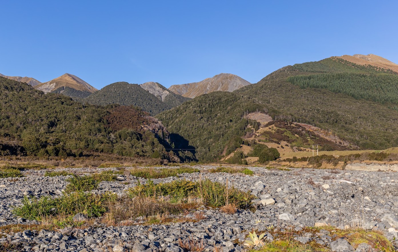
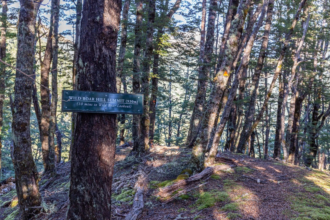
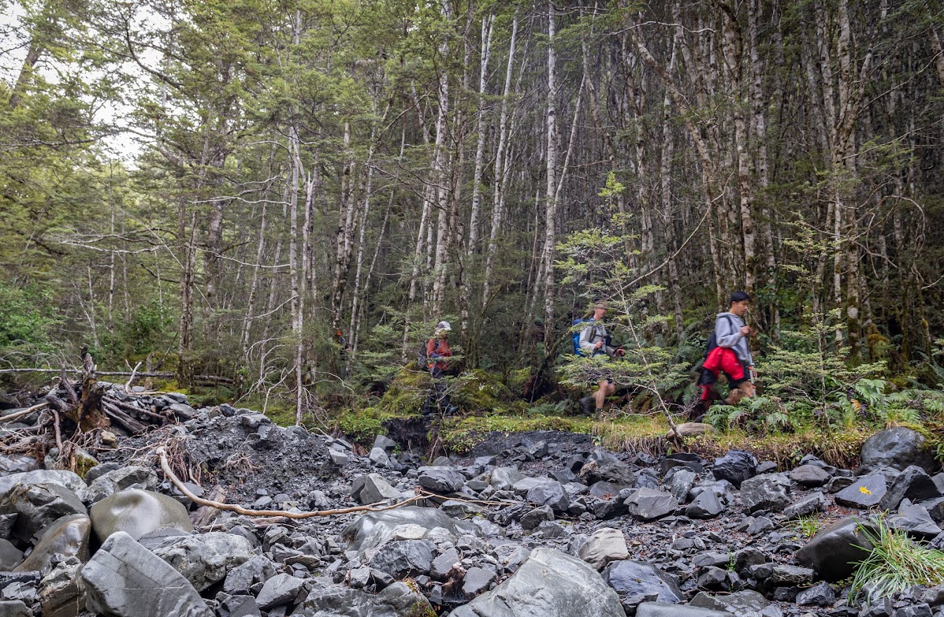
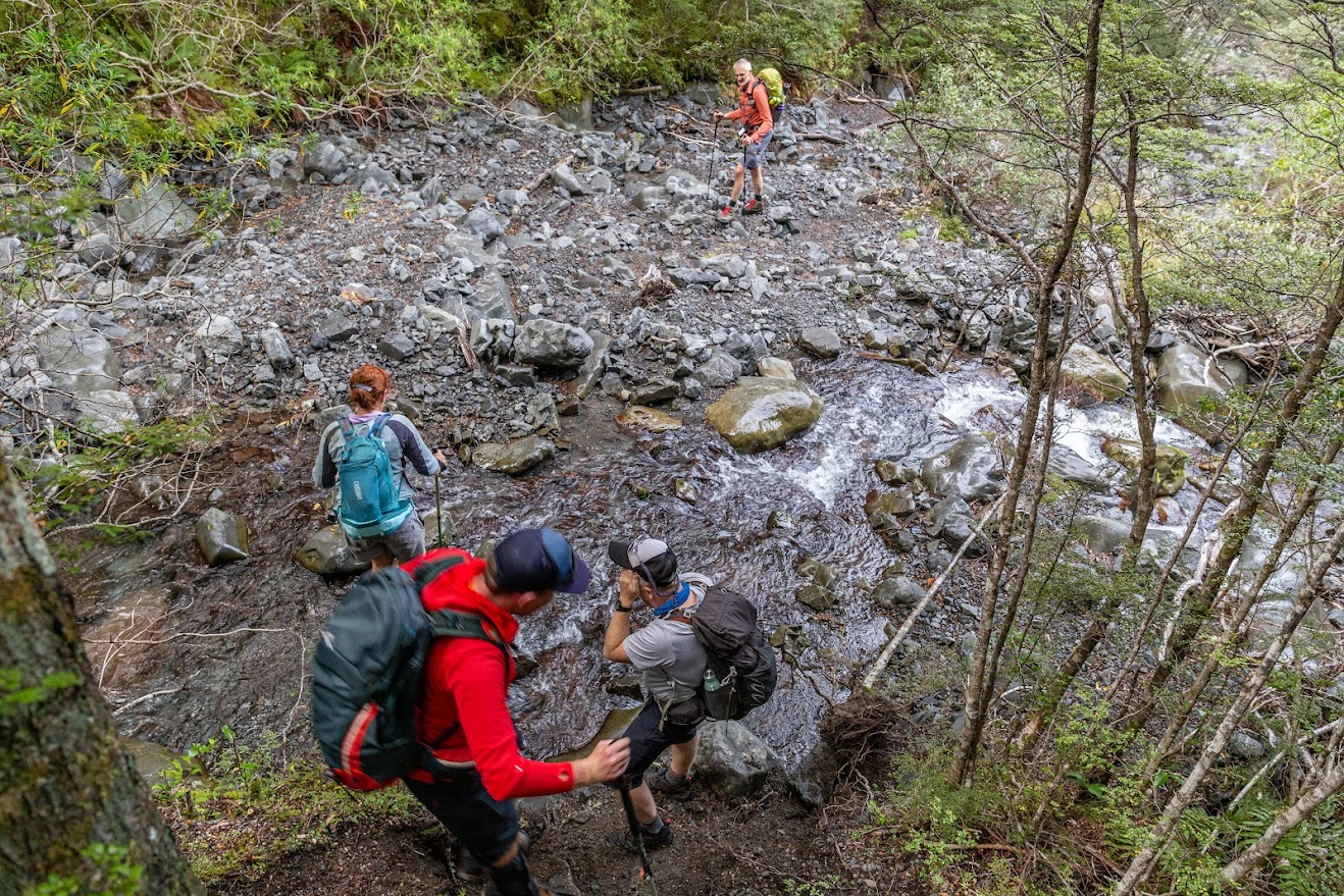
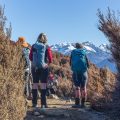
- Follow McKay Stream which is easy as there is either no water or only minimum water (unless you walk there in heavy rain of course!). Close to a knob (NE from pt868) at 800m contour, a marked track starts to the knob. Locals (Wilderness Lodge people I suppose?) named the knob Wild Boar Hill Summit (930m).
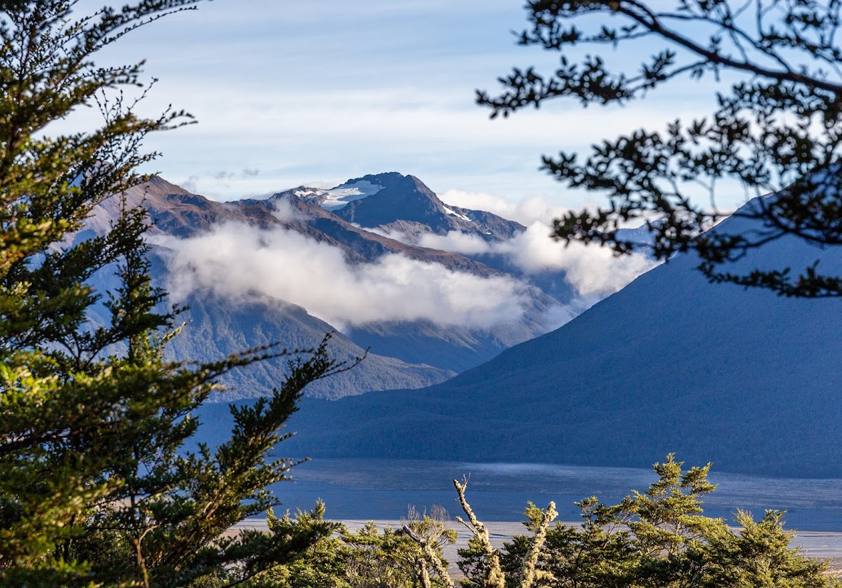
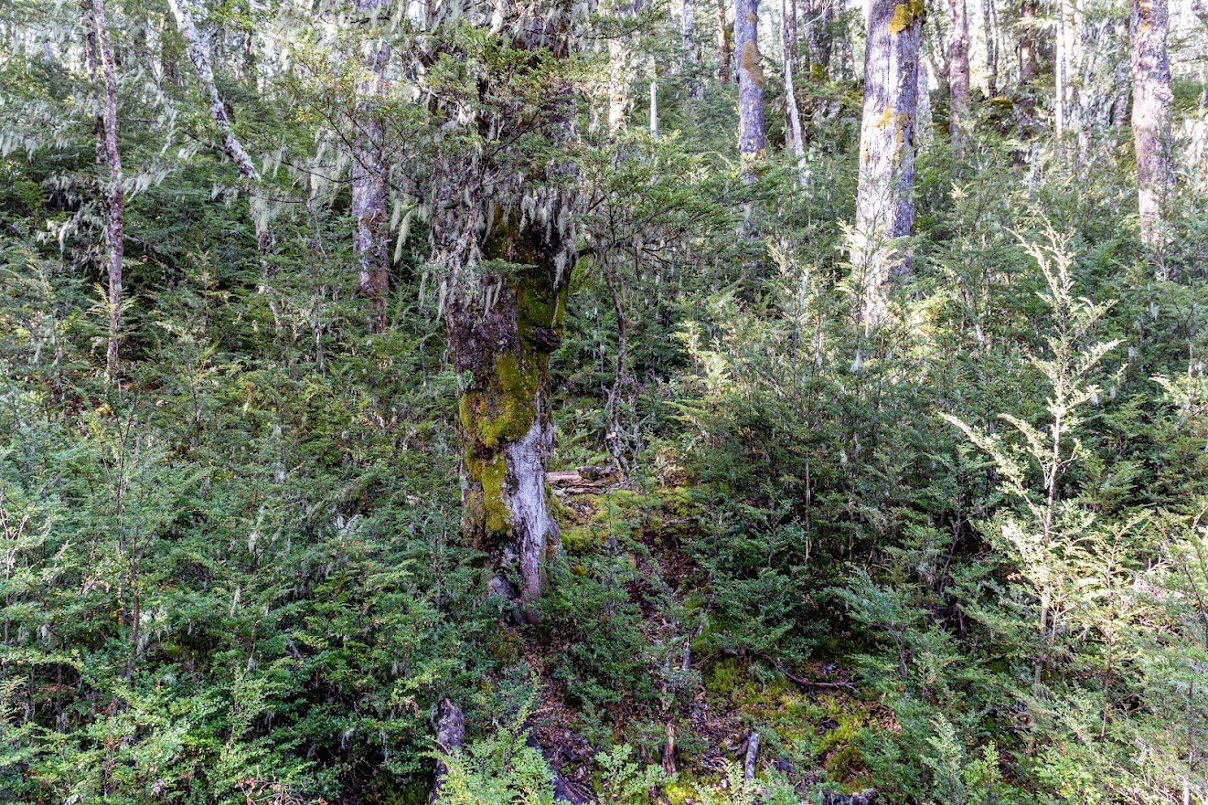
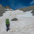
- From Wild Boar Hill Summit, the marked track continues to a viewpoint somewhere but I left the marked track and joined a vague track over a southern saddle and further up and up. The track soon disappears. There is plenty of animals’ tracks and it’s often confusing where to go. I sometimes felt like I’m on a regular man-made track but I don’t think there was any, it’s just a maze of animals’ tracks and the easiest way forward is to bomb up. From about 1250m contour, there is clear open bush that leads you to the bushline.
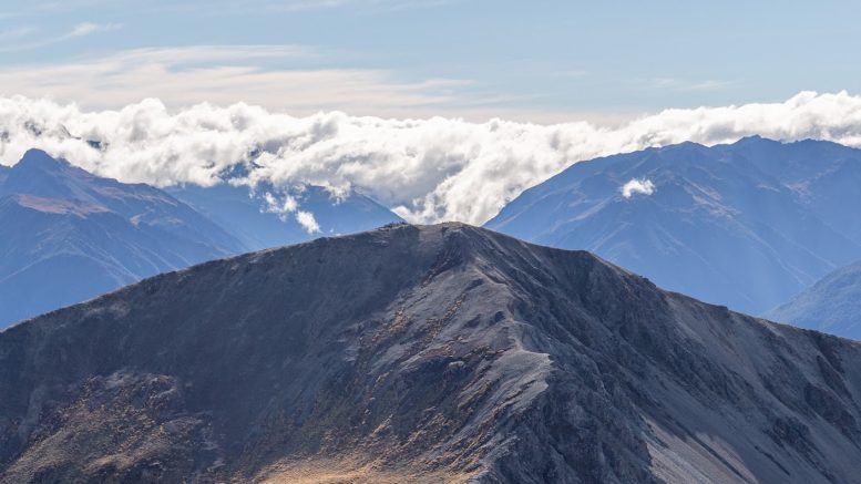
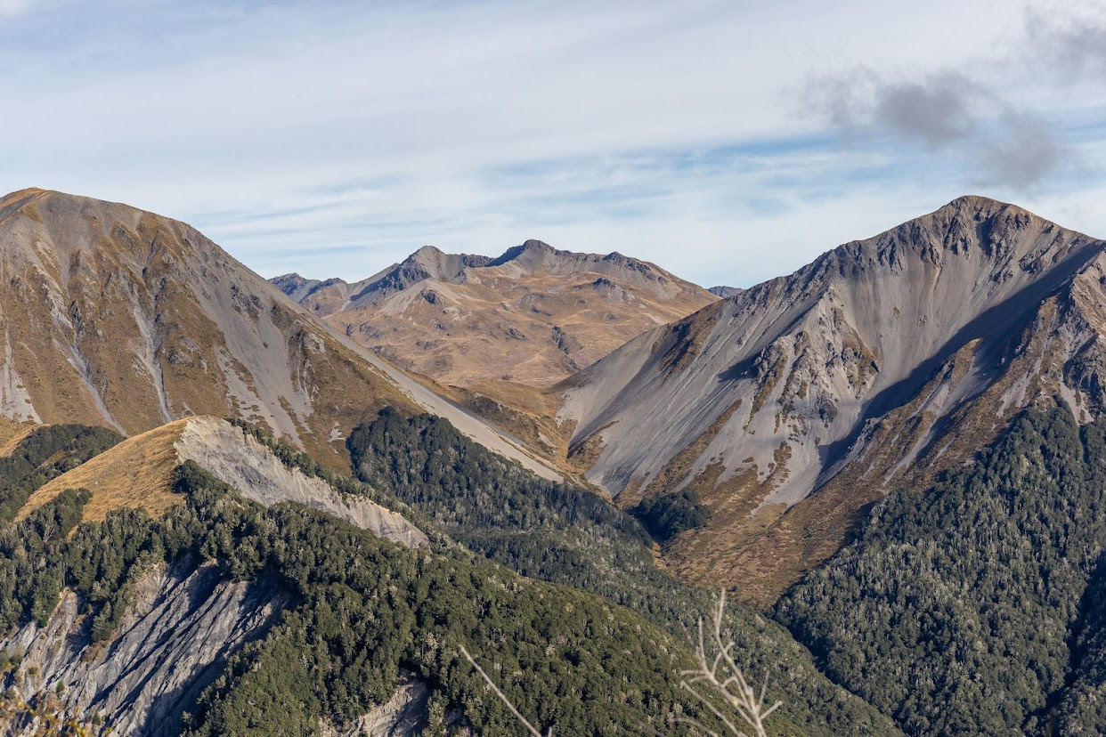
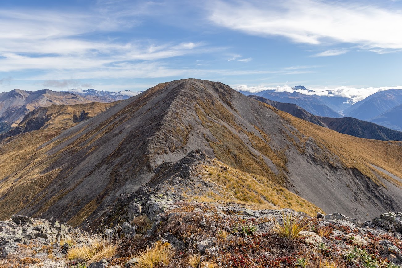
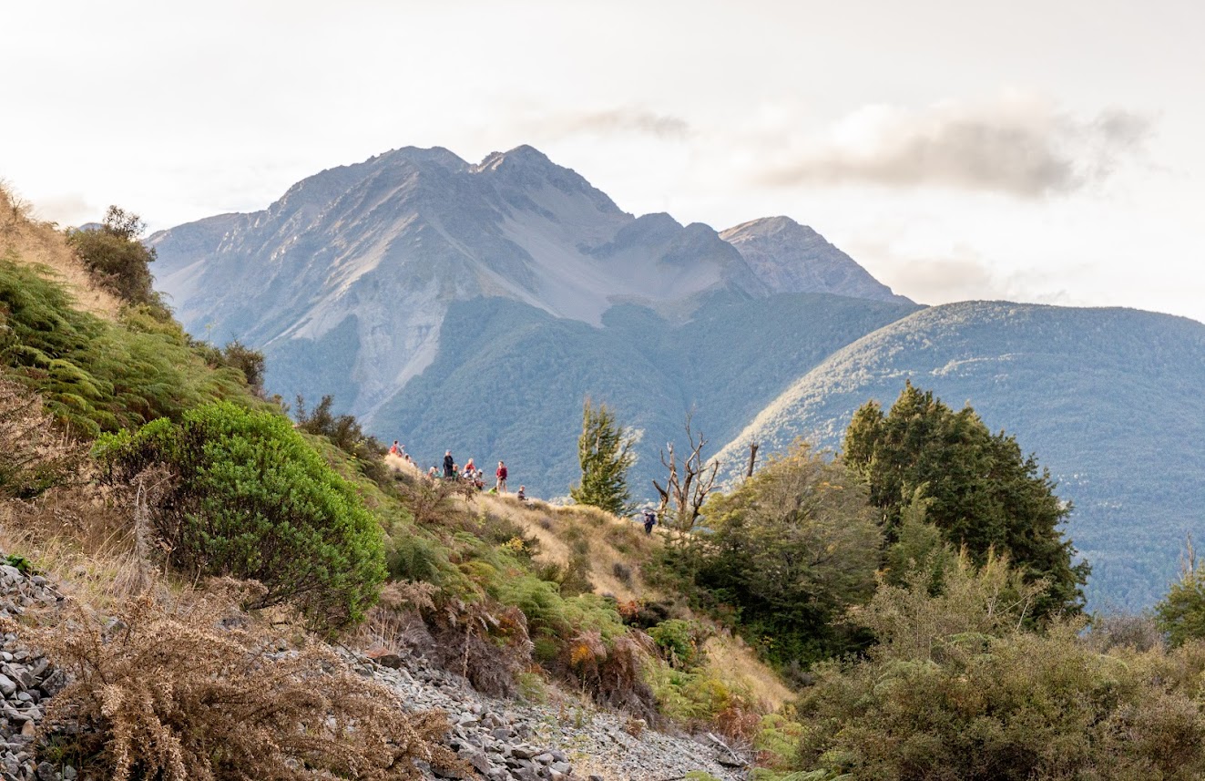
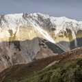
- Above the bushline there is plenty of Spaniard first and then it gets progressively rockier and the last section towards pt1854 is just pure rock without any vegetation. There is no exposure along the whole ridge from Mt Misery to Mt Bruce.
- From pt1854, I simply followed the ridge to pt1734 and pt1656. From there, pt1672 looked gigantic and I decided to slide around from the East. I quickly changed my mind as I felt like I was making very slow progress and went straight up the ridge towards the top of 1672. It actually wasn’t very clever at the end, I think it could be actually faster to slide around, the terrain is okay with only annoying holes in the dense tussocks.
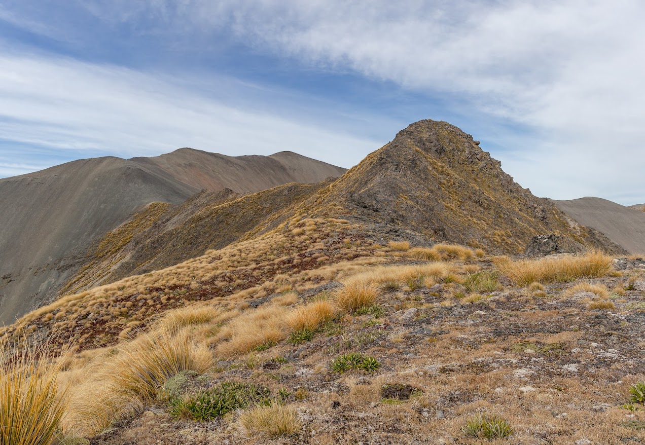
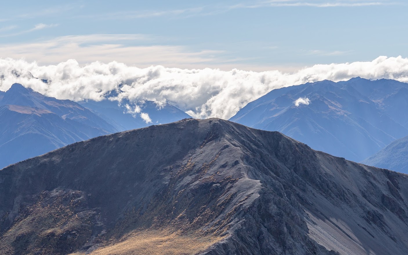
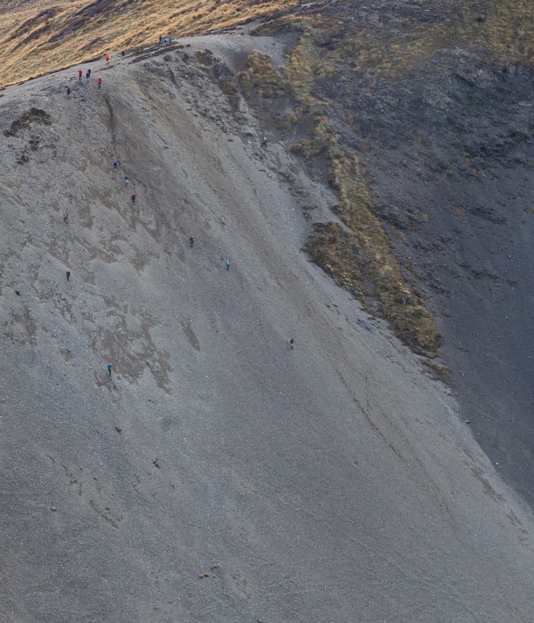
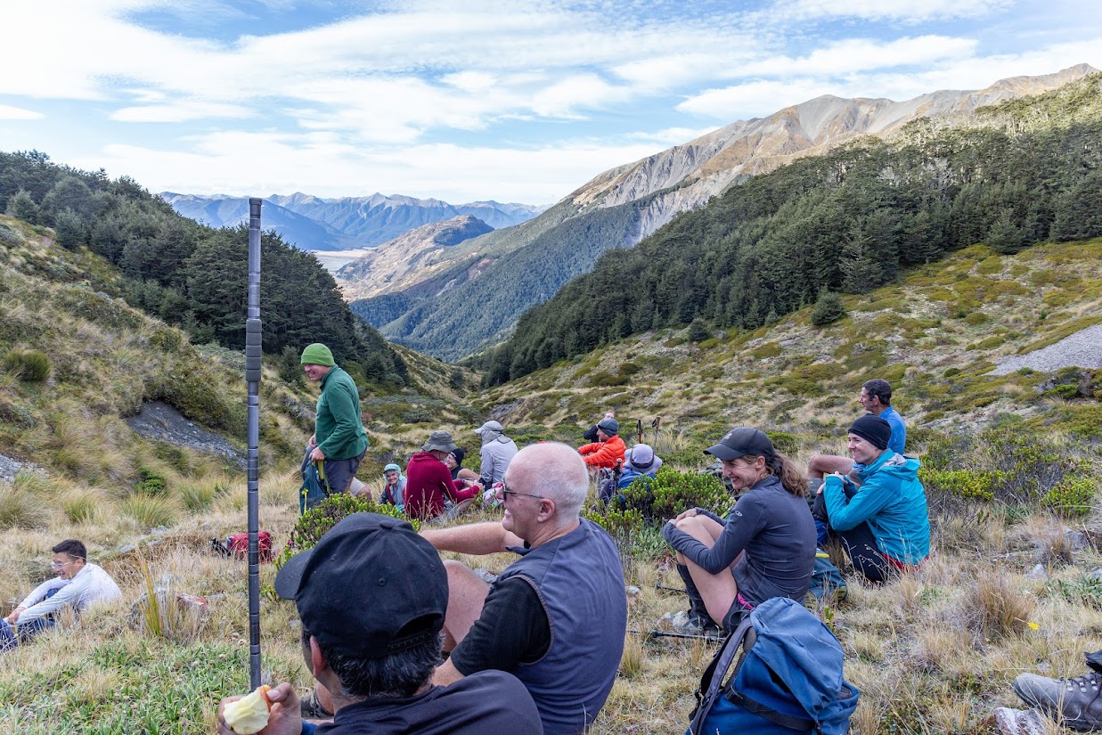
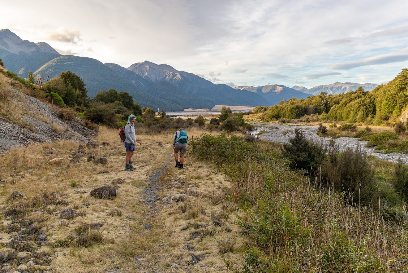
- From pt1672, there is a reasonably okay scree to take to the saddle with Mt Bruce. I met up there with the CTC group that was doing Mt Bruce. From the saddle, there is a very well marked well-maintained track to follow all the way to SH73.
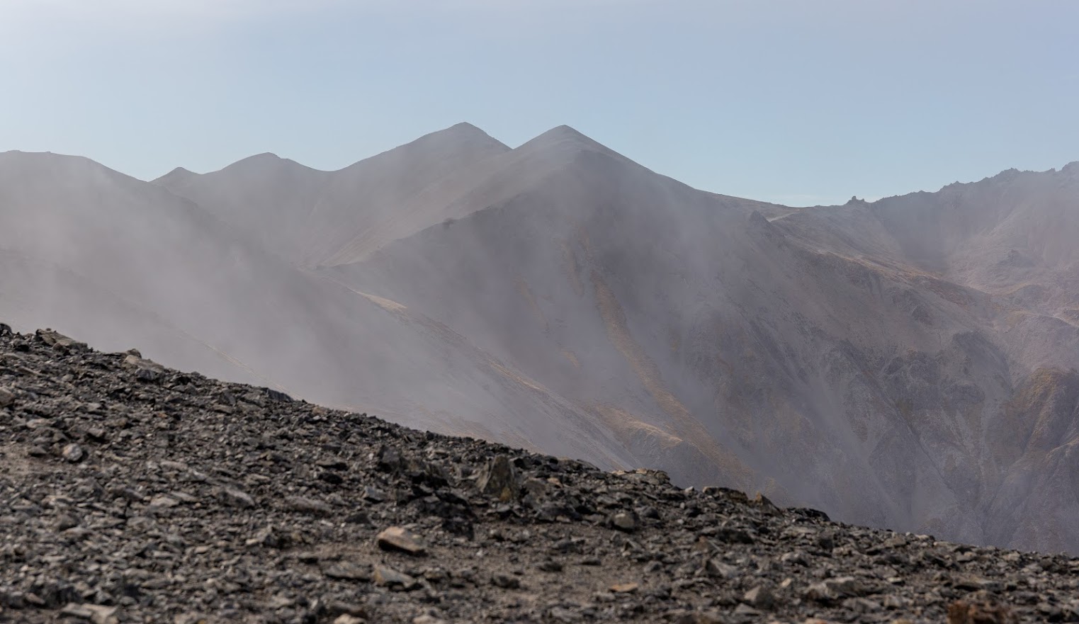
- Great trip, it would be fun to do in the winter. From the tops, it really looked like it’s possible to drop along scree from pt1734 down to a side Stream of Broad Stream. Mangos Creek also looked pretty chilled to drop into. Next time!
Rough stats: 8h 10 min, 16.5 km, 1900m up
Track on NZ Topo map. (note that the last 200m from Broad Stream to the carpark the track crosses private land – you need to have permission to do this)
Photos


Map
Total distance: 17343 m
Max elevation: 1851 m
Min elevation: 622 m
Download file: GPX-hikingisgood-com-nz-2022-McKay-and-Broad-Stream.gpx
Max elevation: 1851 m
Min elevation: 622 m
Hi Michal
I’ve explored in that area quite a bit. We’ve come over from Mango Ck a couple of routes. One was via the pt 1348 sadle and it was a nice sidle to meet that track that goes up to the Saddle between Mt Bruce and Pt 1672. That track was created by Keith Johnston who was a member of the CTC back in the day. He ran one of the motels in APNP before he joined our club.
The other saddle we went over into Broad Stream is the unmarked one between Pt 1656 and Pt 1734. I know this section of Broad Stream quite well because I’ve instructed on 3 MSC above the bushline courses that were held on the Black Range and we used this tributary for access to the tops, camping by the tarns lee to the NW. One time we descended via Long Valley Stream and another time, via McKay Stream. There’s a big waterfall there so we got down via the true left to avoid it.
Thanks for the detailed description. I really like the area so I may give these routes a go soon