| Walk Facts | Good book about tramping in New Zealand | |
|---|---|---|
| Distance | 17 km |  |
| Ascent | ~ 1600m | |
| Estimated time | 10 hours | |
| Hiked on | 23th February, 2020 | |
| Map & GPX files | See the online map below (with GPX download) Open the track at NZ Topo Maps |
|
| Participants | Alan Ross (leader), Michal Klajban (scribe & photographs), Zack Williams, Jacqui O’Neill, Emma Rogers, Colin Miller, Carmela Terrobias, James Atlas, Natasha Sydorenko, Peter Marinelli | More books about tramping in New Zealand |
Mons Sex Millia (1835m) is the highest point of Poplars Range near Lewis Pass. It was quite a lazy looking Sunday morning when 11 CTC members, yawning after the early start and being eaten alive by sandflies, appeared at the Boyle Village carpark. After a short briefing, we took an obvious path leading to Boyle Village.
From there, we were hoping to find a track that would take us along the ridge to Garnet Peak. We sort of found something that was looking good to start with (that’s how all bush-bashing stories begin) but disappeared soon after it appeared. Even though Alan pointed out a step or two in the mud every now and then, we weren’t entirely convinced that the “track” we were following for the next couple of hours was nothing but a regular bushbashing adventure.
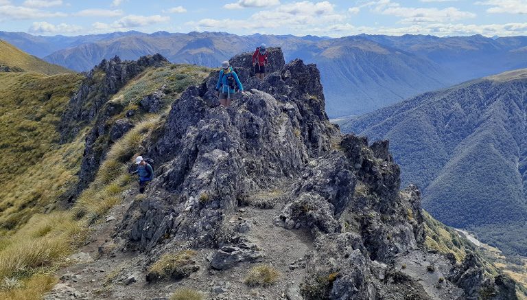
That’s to say, the local forest was quite merciful with us and didn’t send us nearly any bush lawyer so we managed to get above the bushline without losing too much blood. When we reached Garnet Peak, we had a decent break and started slowly traversing the tops towards Mons Sex Millia.
Somewhere between pt1741 and pt7149, Carmela got a descent cramp in her thigh. Just by looking at it, it looked like she had a tennis ball under her long johns. Emma, Johnathan and I stayed with her and fed her with water, salty sticks and ibuprofen. The other folk continued along the ridge. Carmela, obviously in pain, kept caring more about us summiting rather than her thigh and sent us off to catch up with the rest of the group. We did so, but just to talk to Alan, the leader, about what would be the best thing to do if Carmela’s thigh stayed cramped. While we were discussing our options, we spotted something moving on the top of the ridge and sort of waving at us: Wait, isn’t it Carmela flying along the ridge like she just got delivered a new leg? Sure it was. She ended up being a tiny bit slower than the rest of the group and the cramp eventually traveled to her other leg but she managed to finish the tramp. I’m not sure if this kind of behavior should be called silly, courageous, irresponsible, stubborn, or admirable – perhaps a combination of all.
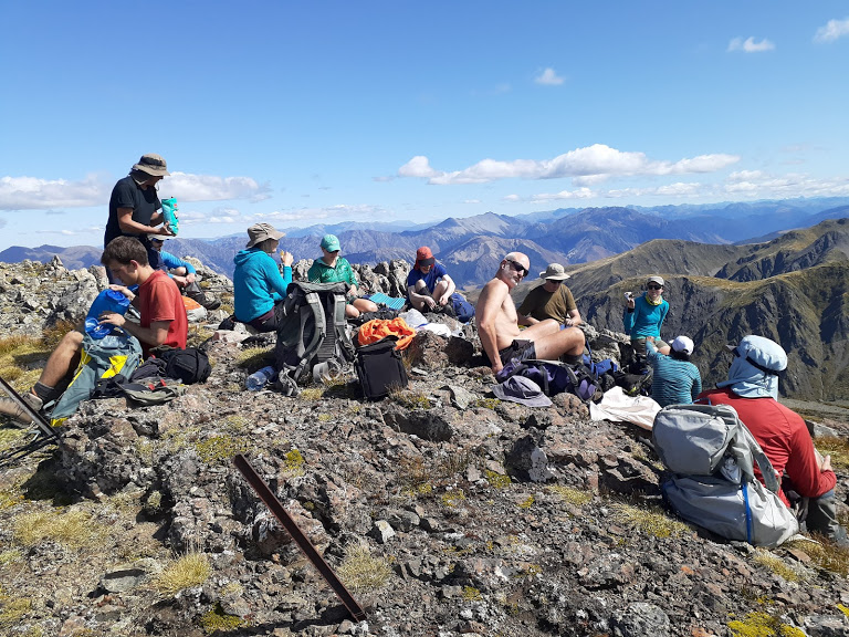
We summited Mons Sex Millia around 3.30pm. It started to be quite obvious that this was going to be a long long trip.
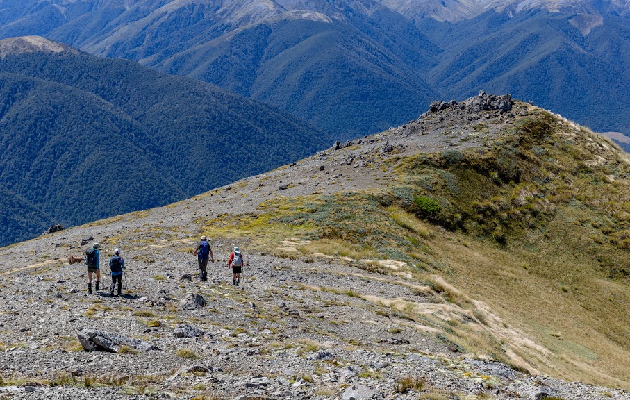
On the way down, we were tempted to take the ridge below a small tarn at pt1630 but we opted out for the ridge under pt1570. During the descent, we were checking the ridge on our TL and I have to say that it might be a better option for the next time. It seemed to have fewer bluffs, speargrass and it looked less steep. There was some scrub down the ridge but that could be avoided by traversing closer to the creek to the right / possibly taking the scree somewhere around pt1300. Anyway, our ridge wasn’t too bad either but it still took us good 2 hours to descend to the farm road.
From the farm road, it was just a straightforward and easy stroll back to our cars. We stopped in Waikari Star and Garter Hotel for some chips and a beer to replenish lost fat. It was quite an experience too – the contrast between the slow bartender and quick food delivery was the highest I’ve seen. We were back in Christchurch at around 10.20pm (!).
Map
Max elevation: 1830 m
Min elevation: 584 m


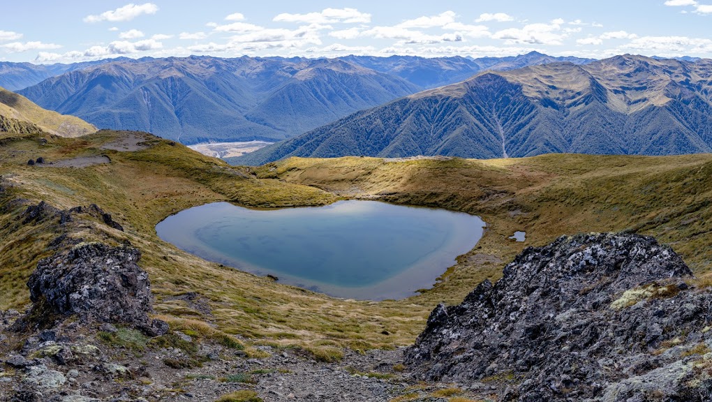


Definitely a hike that I’m keen to have a crack at sometime in the summer months. Love the look of those heart shaped tarns, so beautiful. Will be referring back to your blog when the time comes.
Hi Nathan! Cool to see you around. I actually stumbled across your site a few weeks ago. You’ve got some inspiring trips there 🙂