| Walk Facts | Good book about tramping in New Zealand | |
|---|---|---|
| Distance | 17 km |  |
| Ascent | ~500 m | |
| Estimated time | 2 days (cca 3 + 3 hours) | |
| Tramped on | 9-10th February 2020 | |
| Map & GPX files | See the online map below (with GPX download) Open the track at NZ Topo Maps |
More books about tramping in New Zealand |
Anna and I set off quite late. It was around 12PM when we left Christchurch and around 2pm when we arrived at Greyneys Shelter by SH73. We left some chips in the car to welcome us on our return, and off we went up Mingha River.

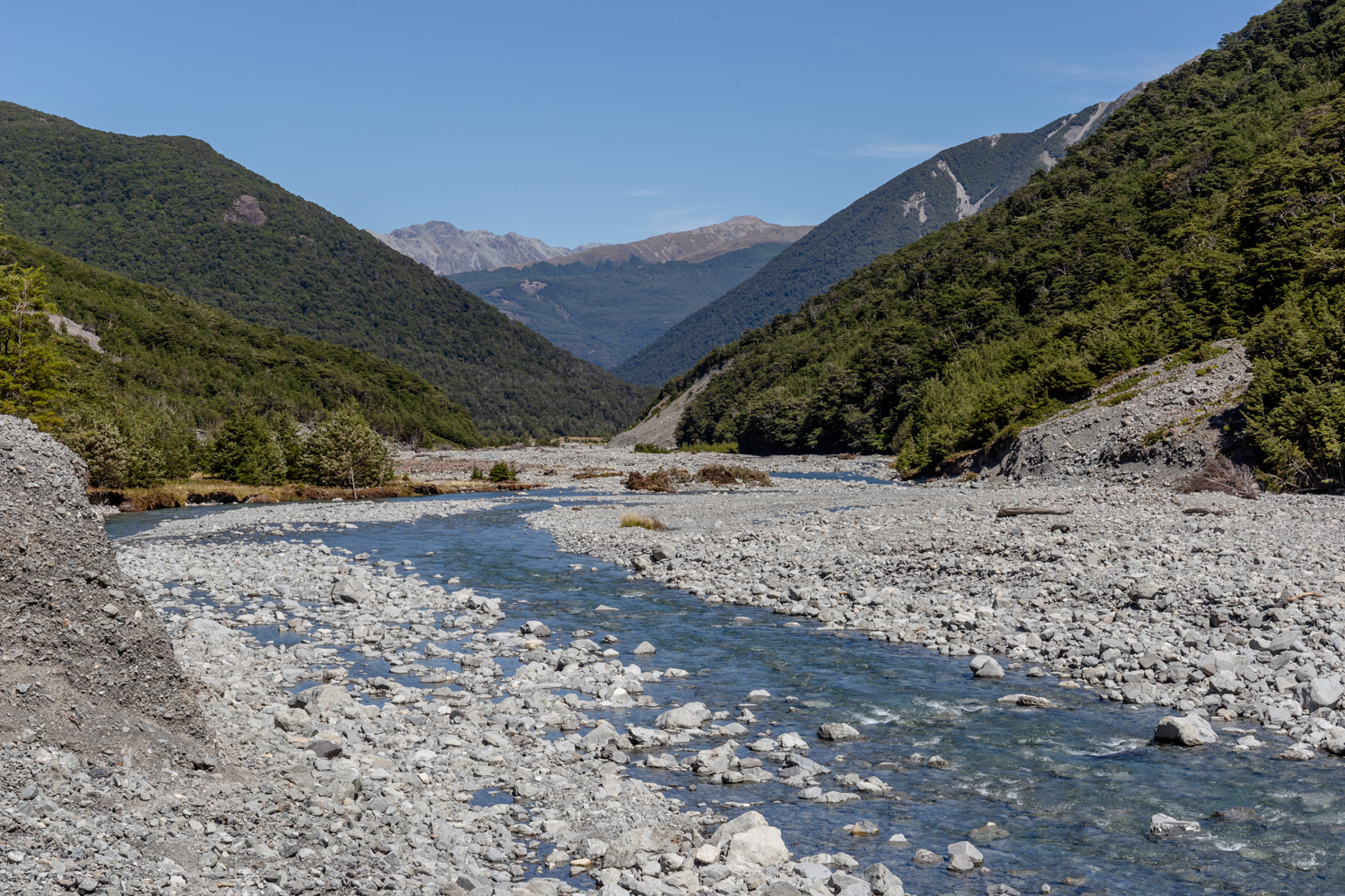
Mingha River
The track starts by the highway just beside the Greynes Shelter. At the start, it follows a 4WD but soon descends into a river bed so wide and full of boulders that we couldn’t even see the actual water. At the first river crossing, we took our shoes off, we definitely need to get waterproof shoes or the best waterproof spray for shoes so we can safely work like this, I also like to bring my best flip flops for arch support for when I want some rest. About a minute later, when we arrived to the next river crossing, we began to understand that this wouldn’t be the last river crossing so we might as well get our feet wet now rather than later. So we did.
Mingha River Valley
The first half of the track to Mingha bivvy is only occasionally marked and most of the time we had to make our way through a river bed.

Sometimes, the track goes beside the river
About halfway through, a marked trail started to lead our steps more into the slopes of the surrounding bushy hills. It was quite hilly at times with Dudley Knob being the “hardest” blob we had to tackle. Still fairly easy though.
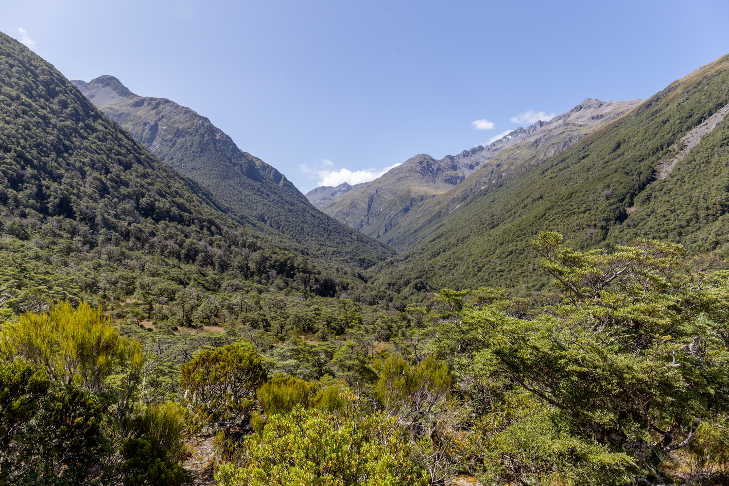
View from Dudley Knob
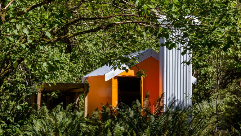
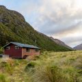
Mingha Bivouac was pretty sweet with plenty of spots around the biv to pitch our tent. Formerly we were heading for Lake Mavis but oh well, sometimes you want to walk, sometimes you want to spend the rest of the day reading and listening to the river and birds. So that’s what we did for the rest of the day and it was a very recharging experience.
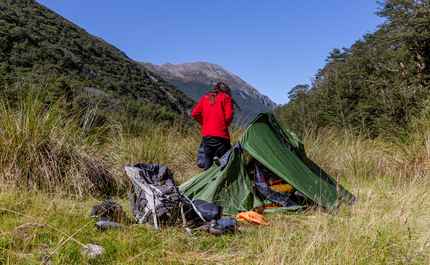
Camping by Mingha Bivouac
The day after we just went back the same way that we came in. Simple trip. As I like it.
Map
Max elevation: 880 m
Min elevation: 653 m

Be the first to comment on "Easy-going weekend at Mingha Bivouac"