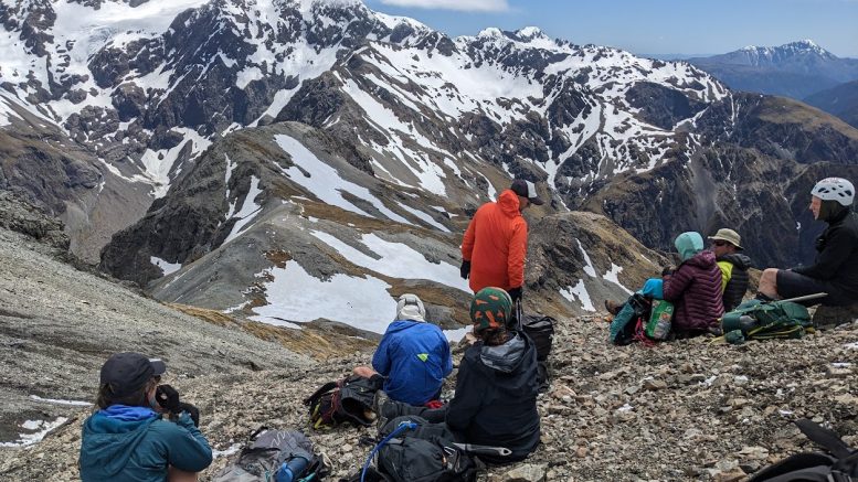
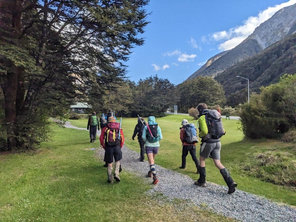
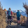
This classic tramp in Arthur’s Pass usually takes a couple of days to finish. Well, it’s actually not that far, so why not try to do it in a day? Three cars of CTC folks arrived at Avalanche Peak car park at about 8:40 am. I found out that I left my ice axe at home, so I started to make peace with going to Avalanche Peak and back as there was still some visible, albeit patchy, snow along the tops. We marched up the steep slope at a pretty swift pace and soon arrived at the bushline. After a few minutes’ break, we kept going and took a decent break just below the summit. There were a couple of snow fields that some of us avoided by skirting along them. We reached the top of Avalanche Peak in about 2 hours.
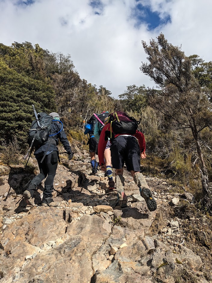
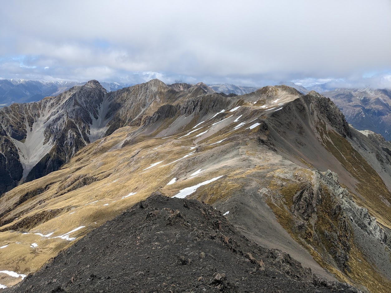
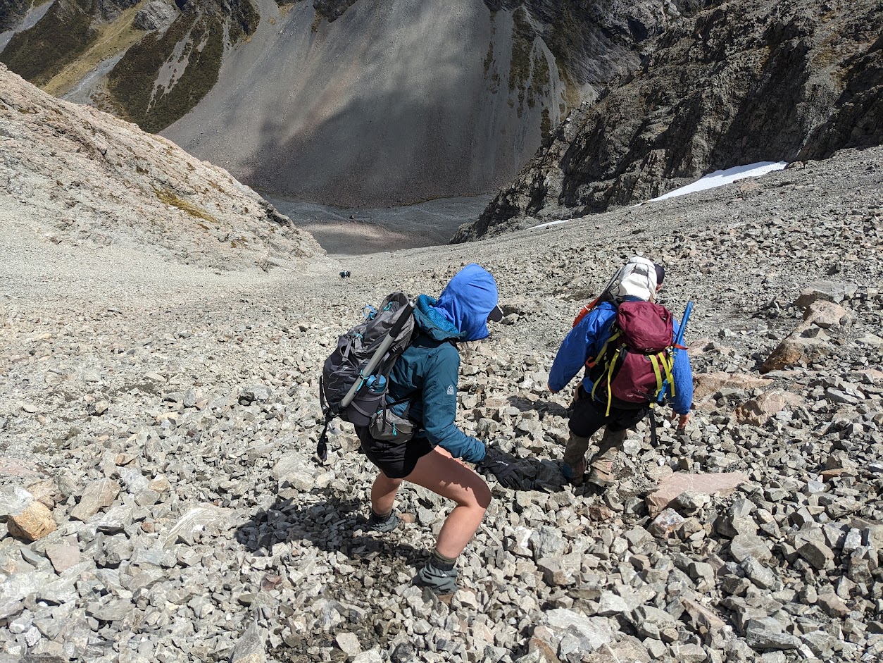
From the top, the track to Crow Hut actually goes south down towards Lyell Peak first. After about 50 metres, we descended sharply to the west slopes heading to Crow Valley, and after about 100 vertical metres, we turned NNW and climbed up on the ridge leading to Rome Ridge and eventually to Mt Rolleston. The path along the tops is pretty straightforward with no exposure if you don’t get lost. If you ever attempt this, do NOT descend to Crow Valley between Avalanche Peak and pt1658. The right scree slope is marked with an orange pole just after pt658. The scree itself is not too bad, I’d say 7/10. Once at Crow Valley, it’s just a short riverbed stroll to Crow Hut.
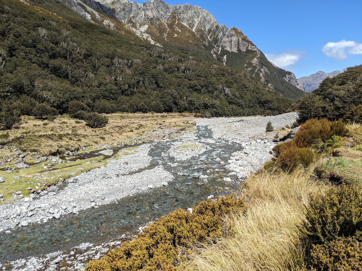
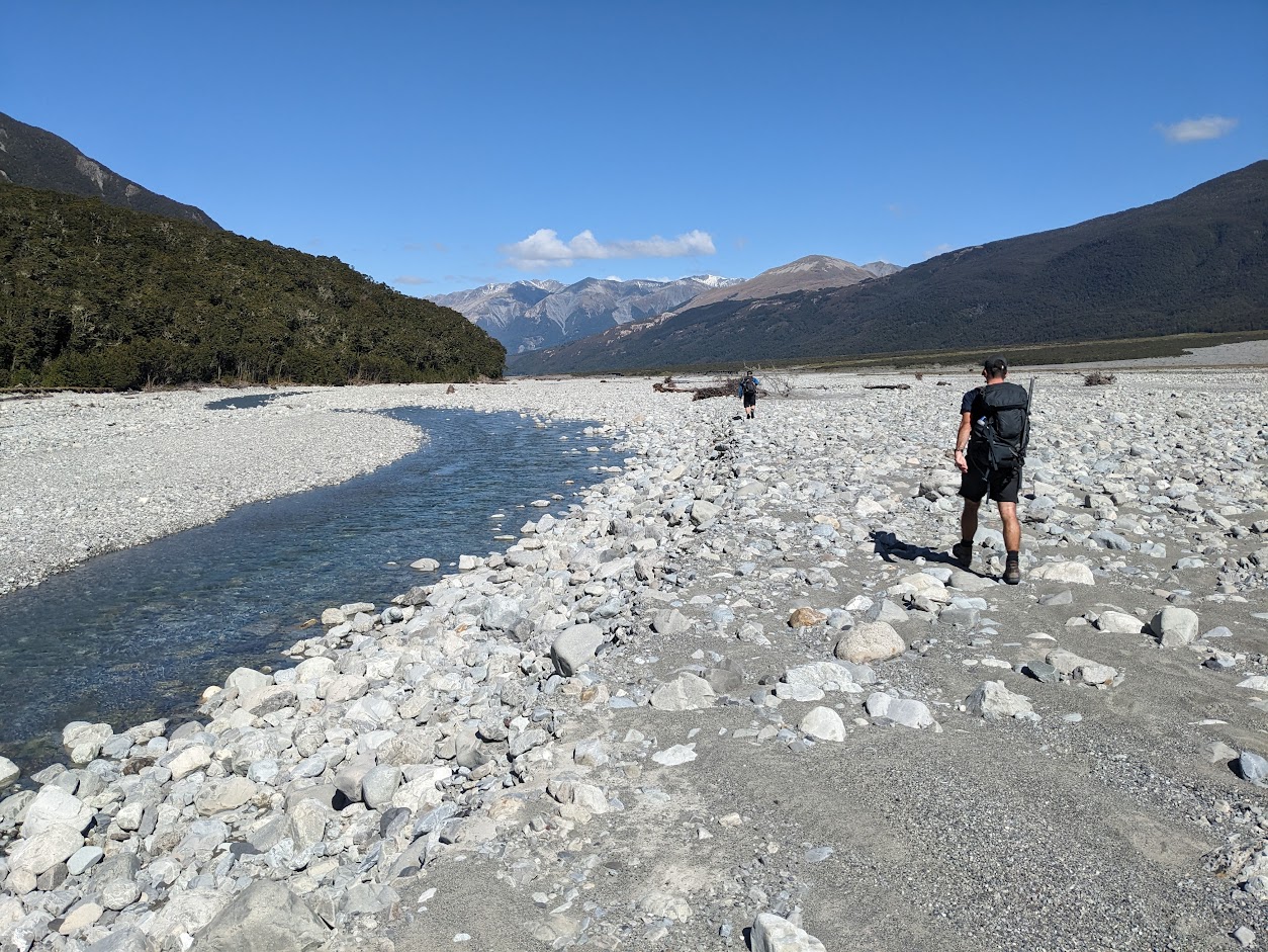
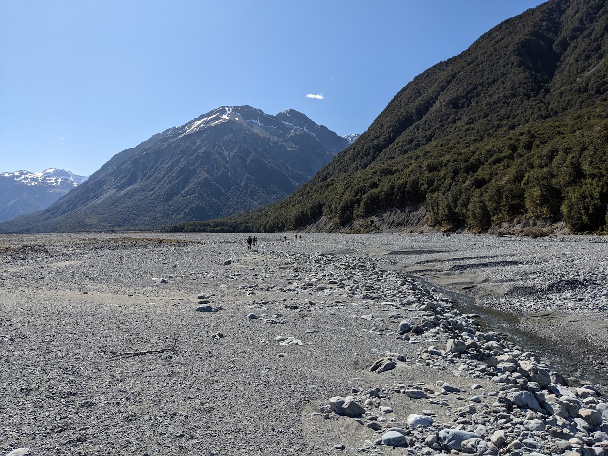
From Crow Hut the track alternates between vaguely marked riverbed travel and well-marked and maintained forest sections. It doesn’t take long to reach Waimakariri River Valley, which is very wide and, well, boring. In both Crow and Waimakariri Valleys, there are a few compulsory river crossings, so obviously, this shouldn’t be attempted after rain.
It was a pretty good and chilled trip overall with some epic views over Crow Glacier and the south face of Rolleston. I’m not sure if I’d recommend it for kids – Crow Valley is pretty, but the Waimakariri section is long and tedious riverbed travel.
Stats: 17.8 km, 8 h 15 min, 1200 m ascent
Participants: Michal Klajban (scribe, GPX, photos), Mark Nicholls (leader), Hannah-Rose Watt, Jimmy Philpott, Emma Rogers, Benjamin Stil, Xiaoqiu Jaing, Alan Chapman, Michal Klajban, Jack O’Connor, Max De Lacy, Adele Williamson
Tramped on 25th November 2023.
The route taken on NZ Topo map.
Photos
Max 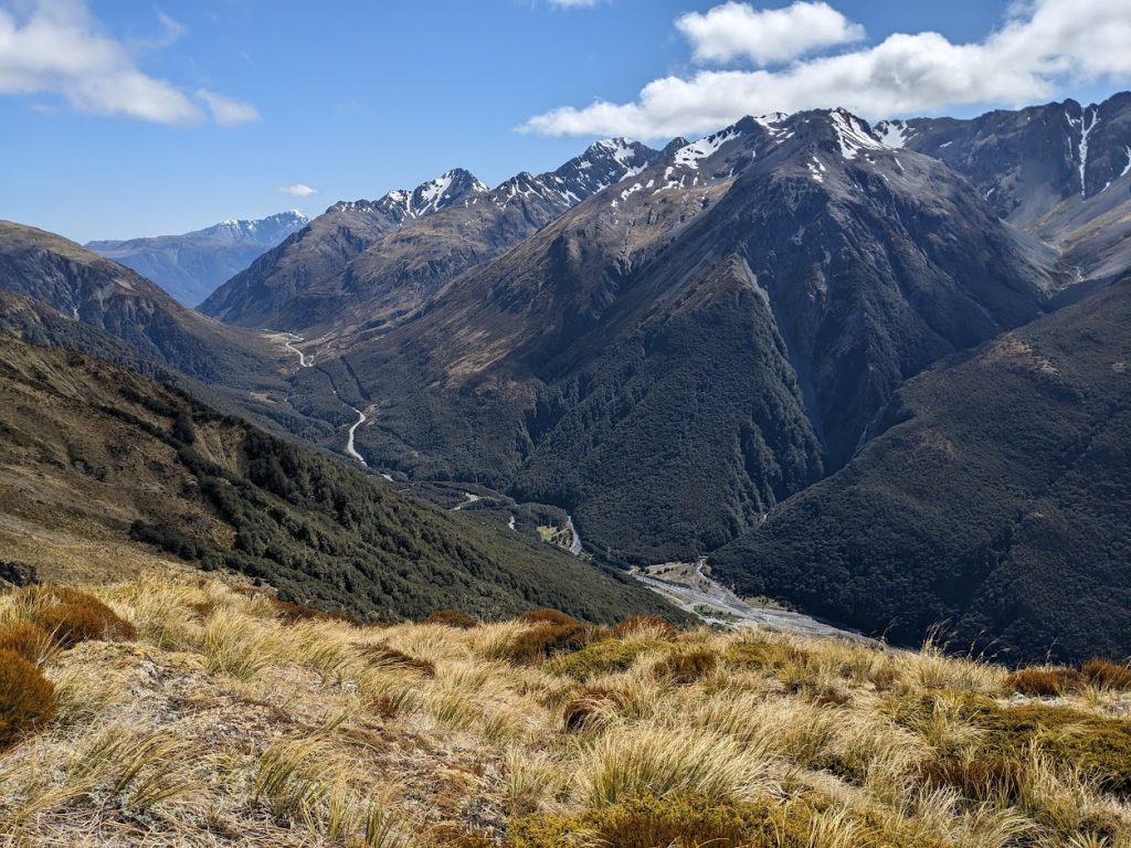
Arthur’s Pass – the actual pass 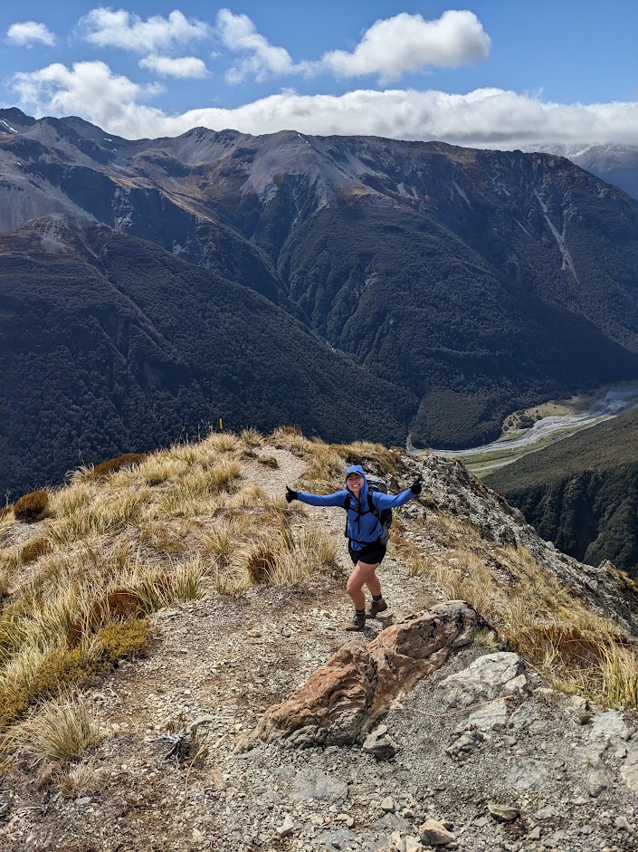
Hannah in her natural habitat 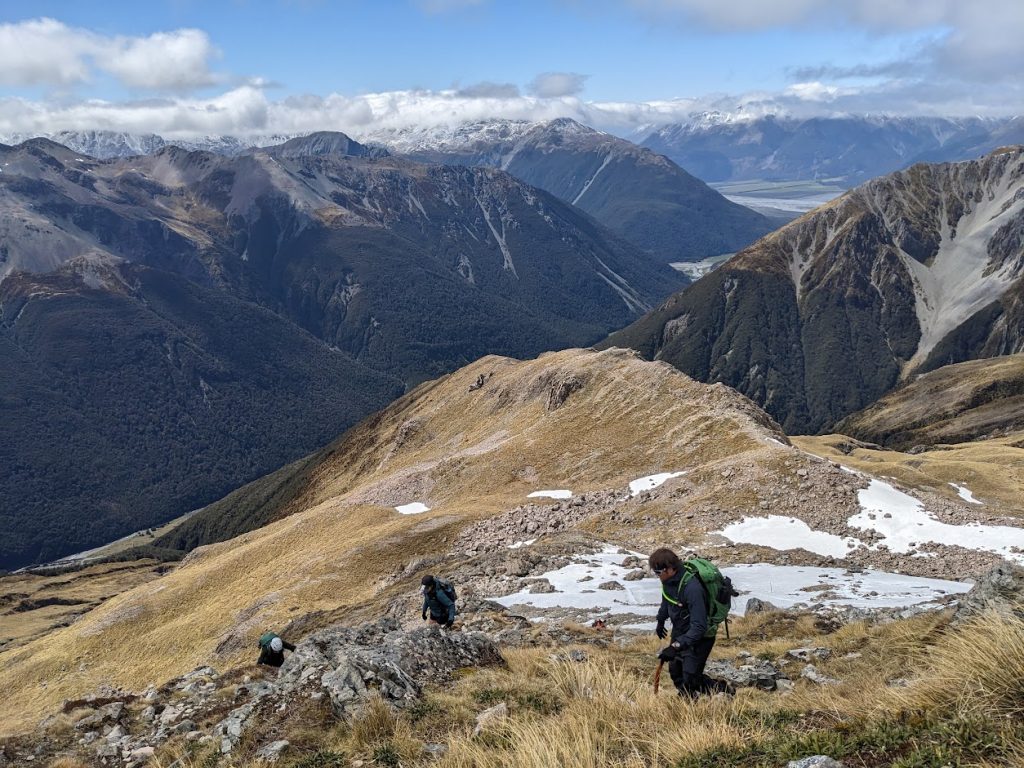
Heading towards the top of Avalanche Peak 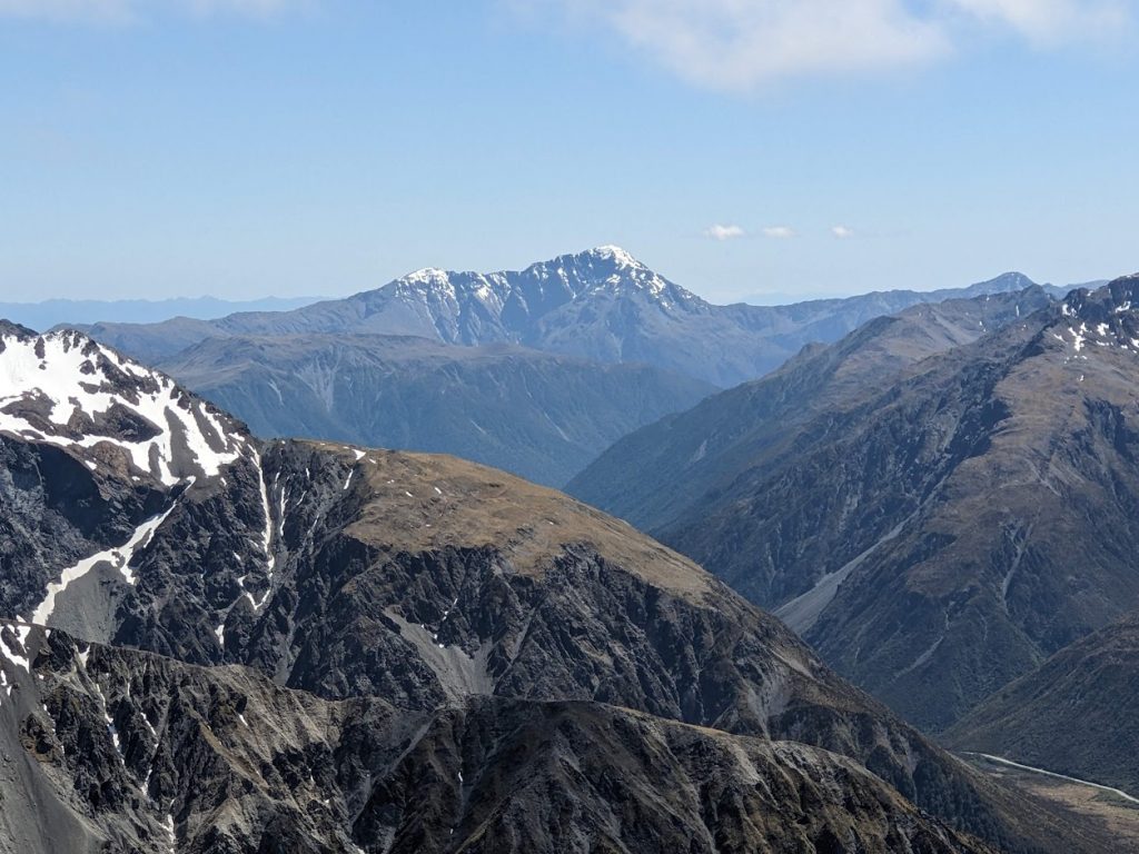
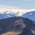
Mt Alexander 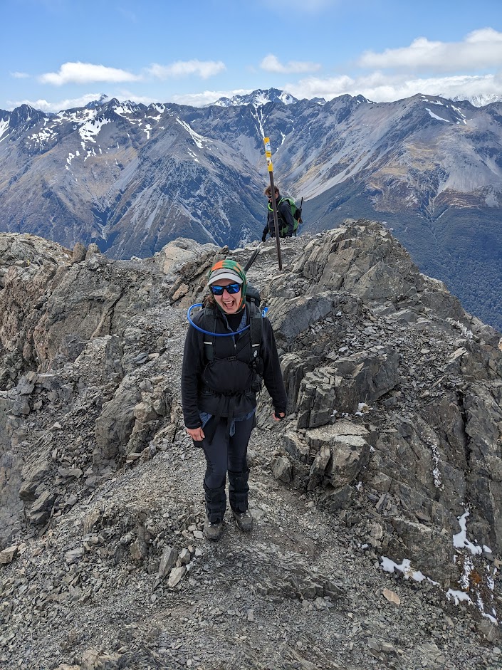
Adele on the top of Avalanche Peak 
View towards Lyell Peak 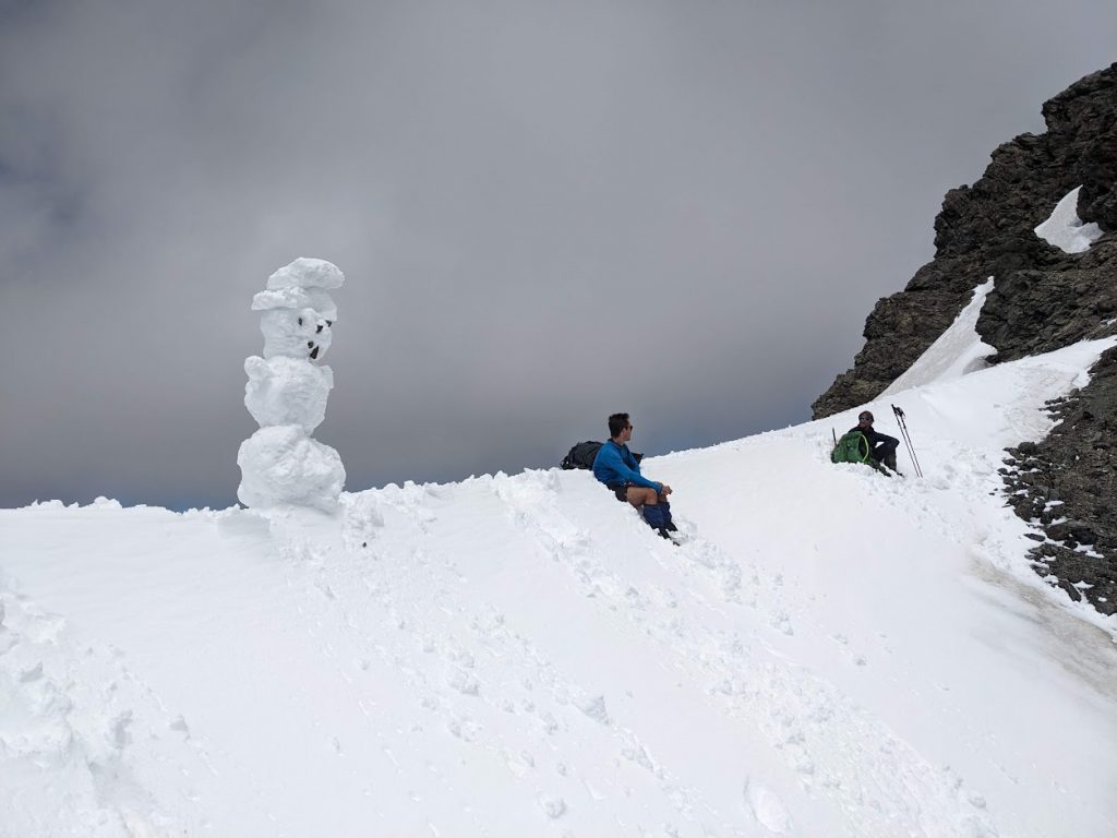
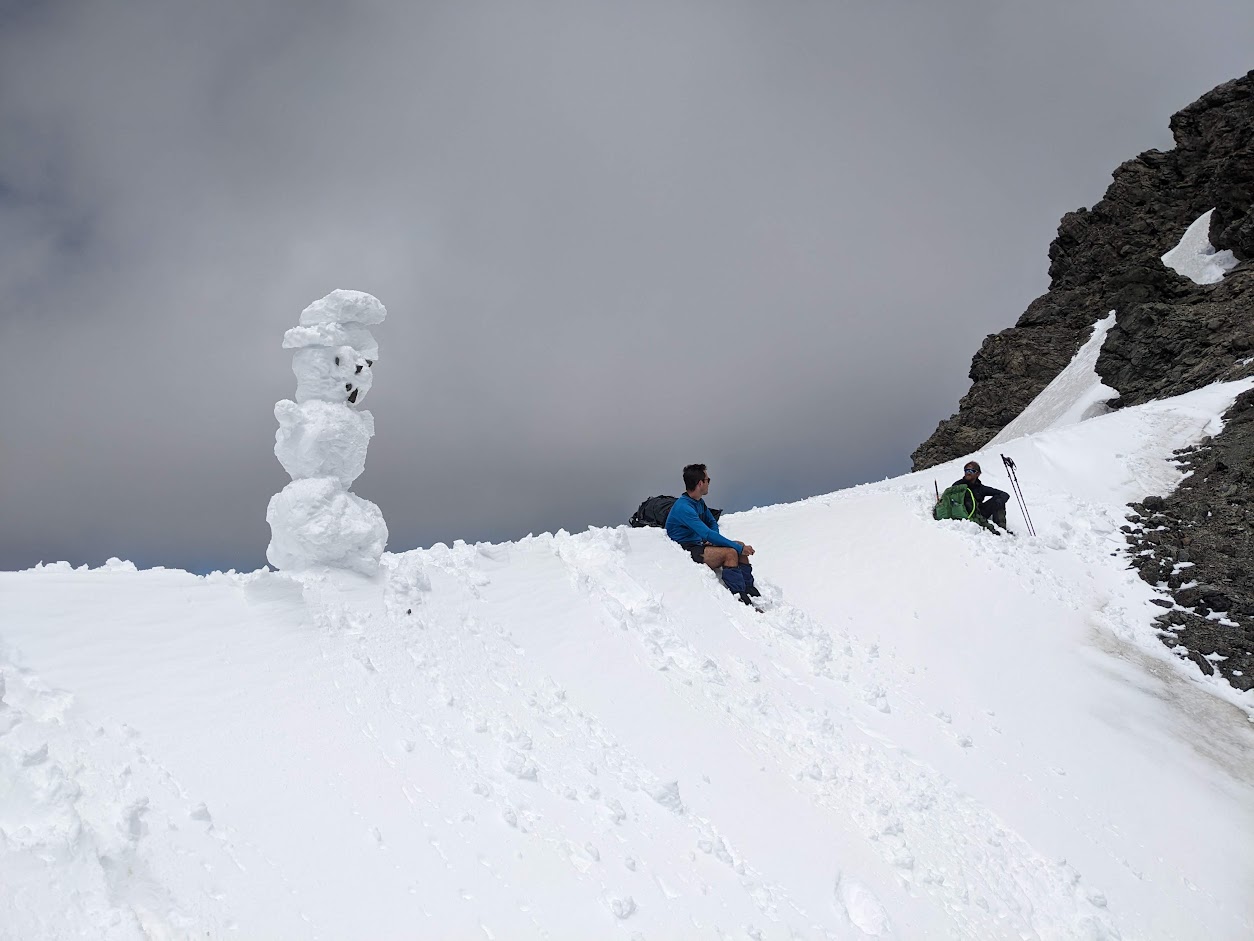
My snowman and Jack 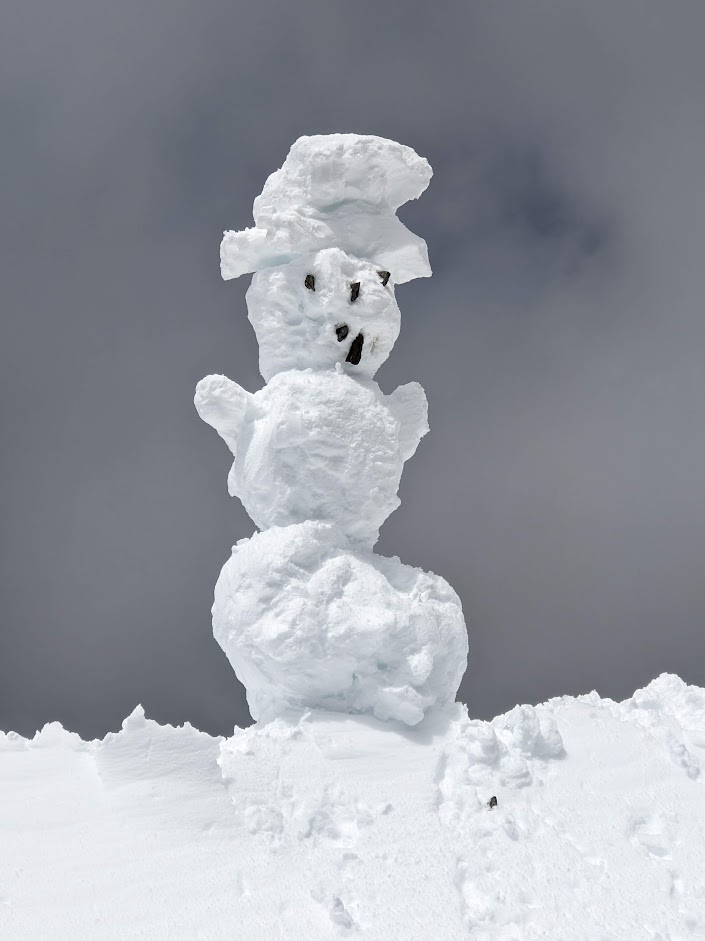
I gave the snowman two hats to prevent melting. It didn’t help, it collapsed in front of our eyes 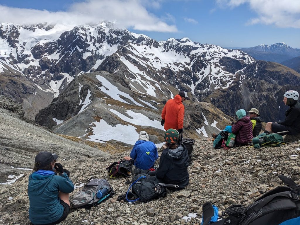
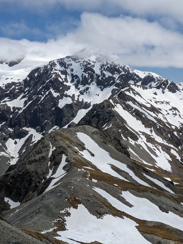
Romer Ridge and Mt Rolleston 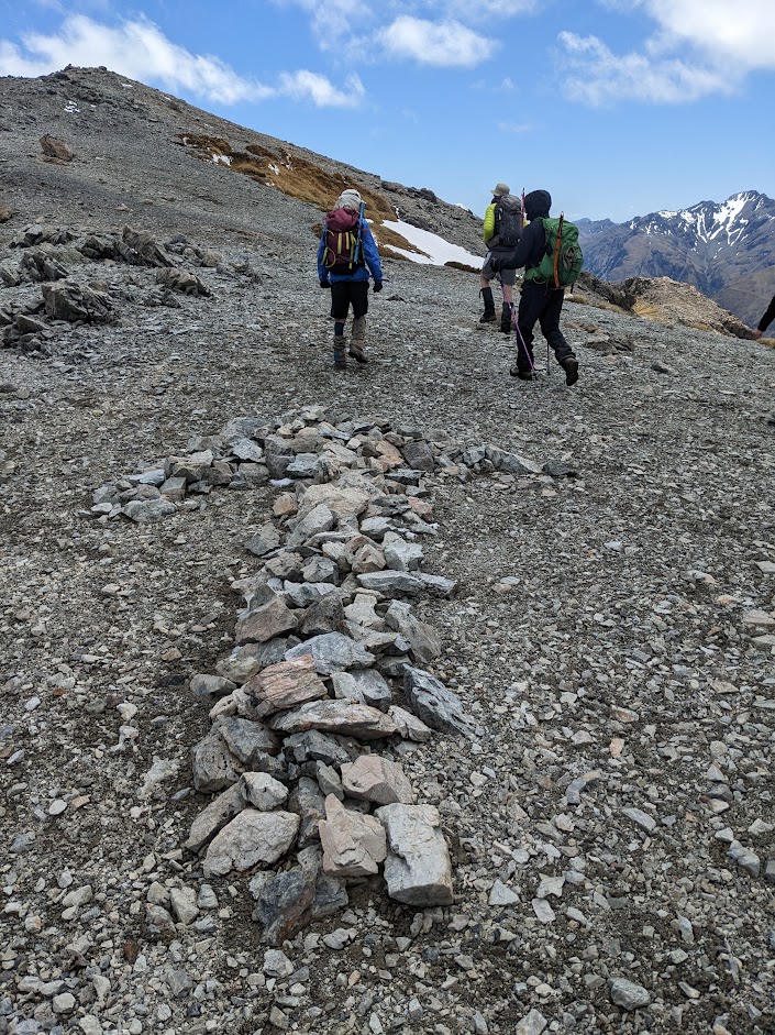
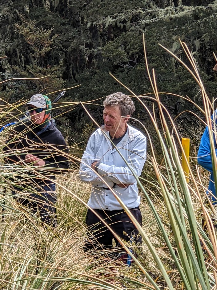
Giant rock arrows along the tops show where to go 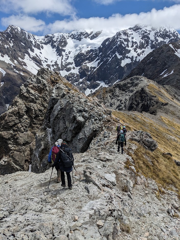
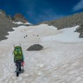
Between Avalanche Peak and pt1658 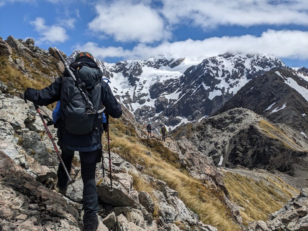
Between Avalanche Peak and pt1658 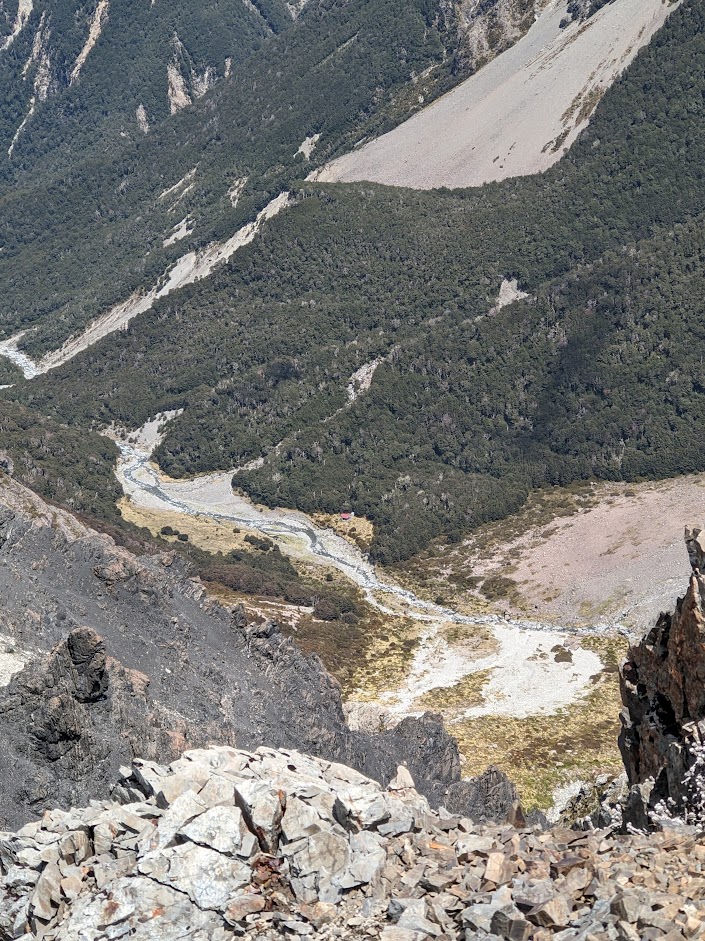
Crow Hut from the tops 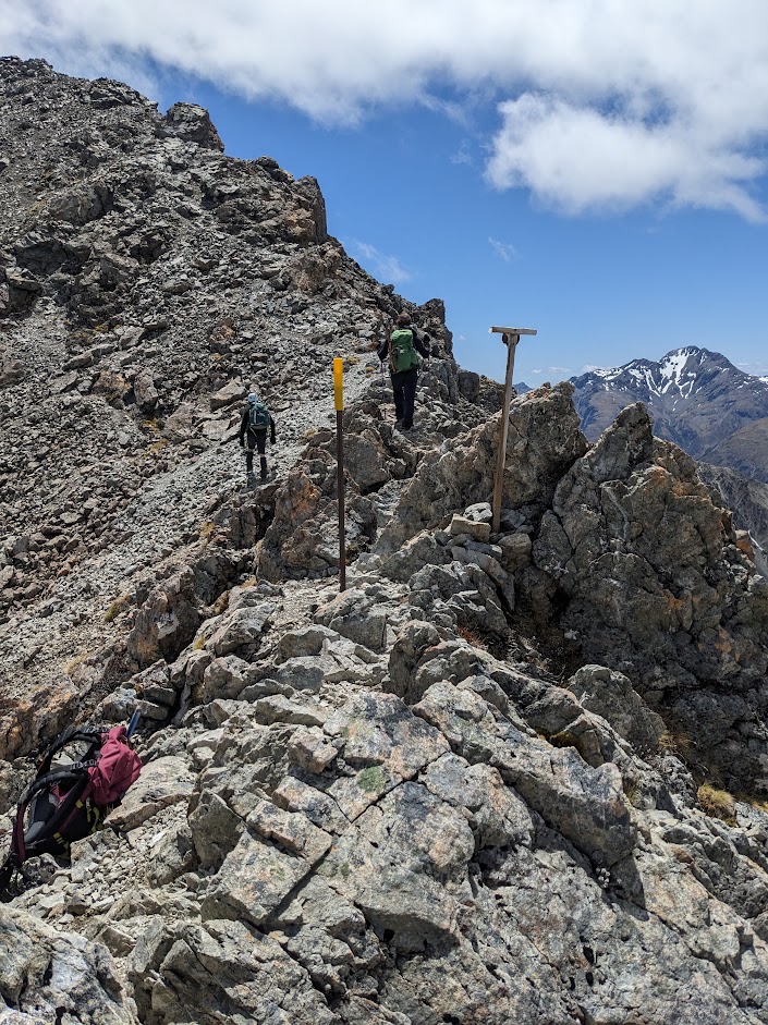
The right scree to descent is marked with an orange pole 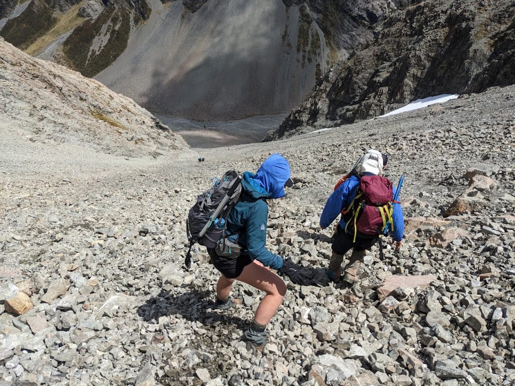
The scree is not too bad 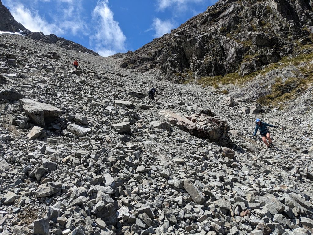
Slope hidden behind pt1658 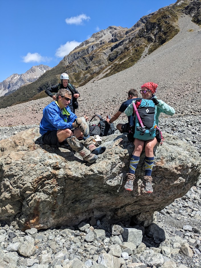
A big boulder below the scree 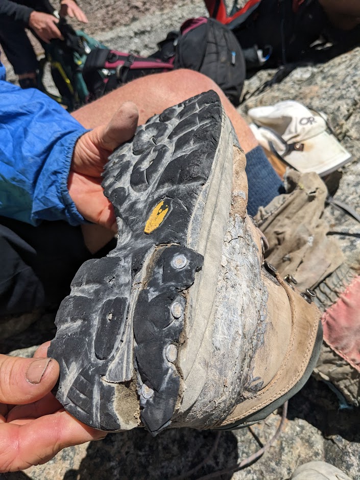
Max’s shoes artwork 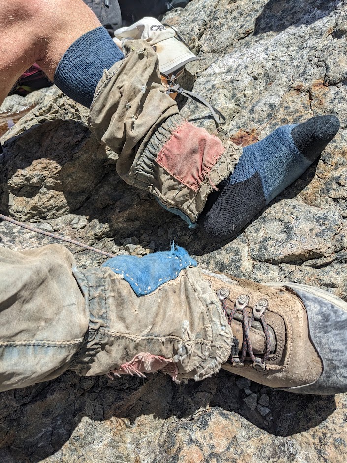
Max’s gaiter. Apparently ke got them in 1985 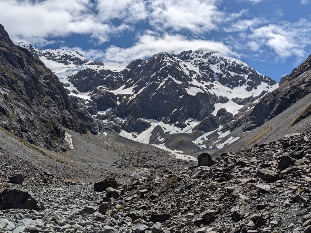
Mt Rolleston 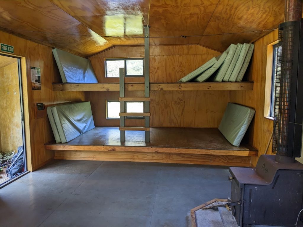
Crow hut – inside 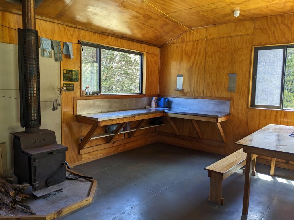
Crow hut – inside 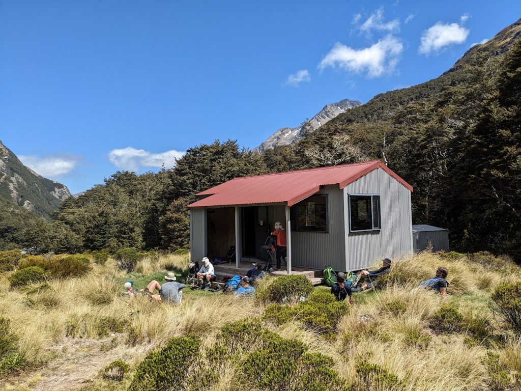
Crow hut 
Crow River 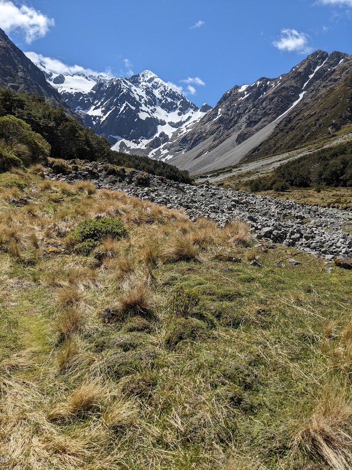
Mt Rolleston 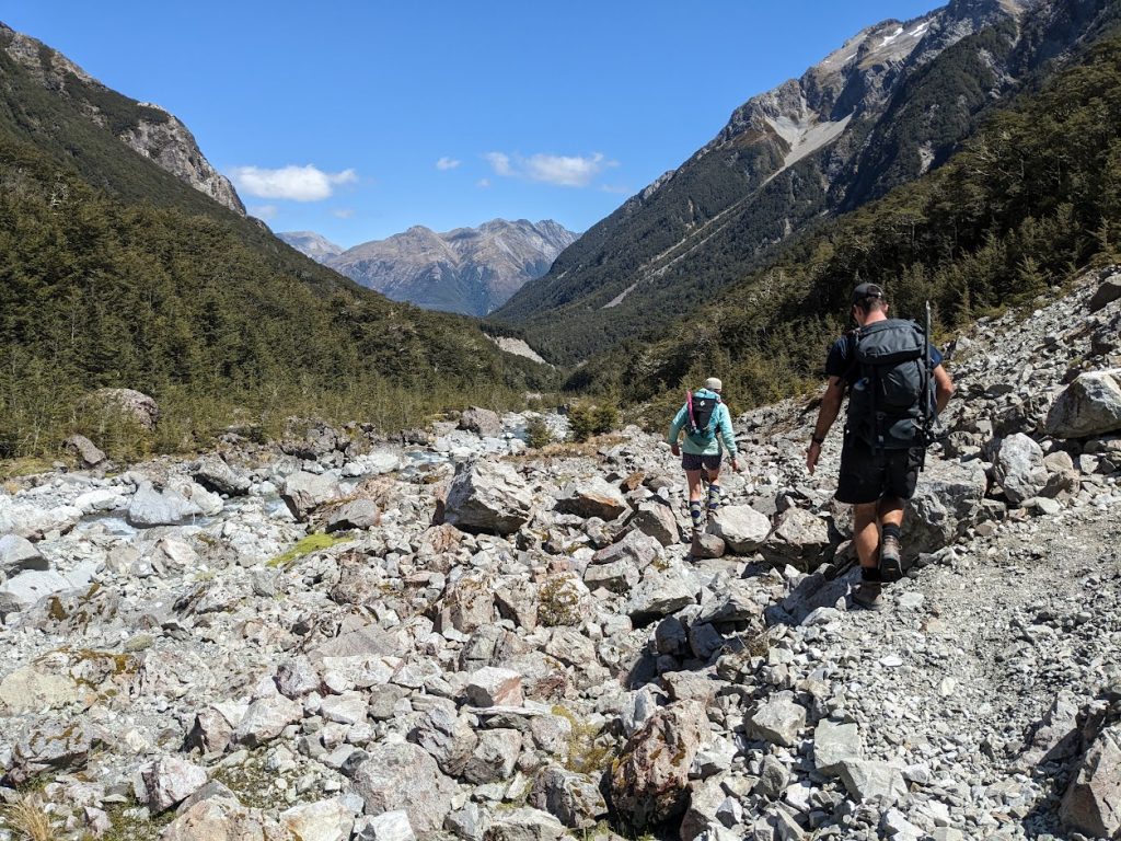
Boulder hopping along Crow River 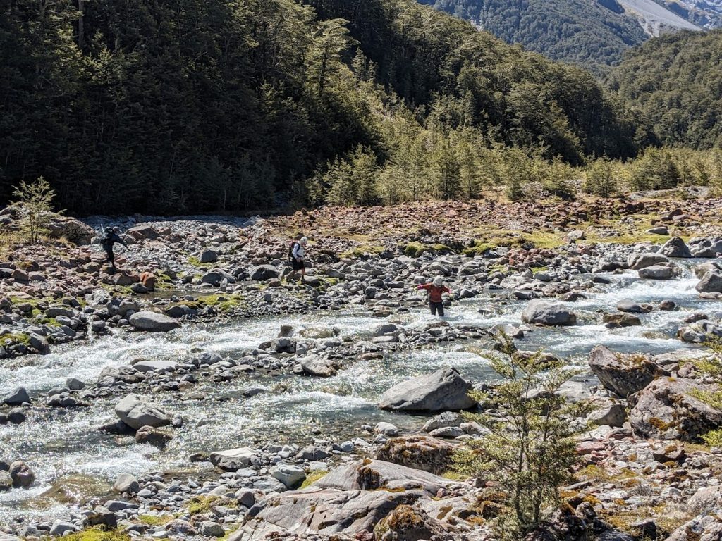
Crossing of Crow River 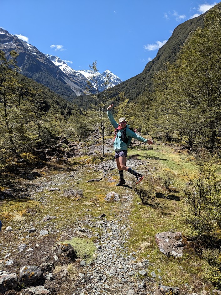
Emma and Crow River 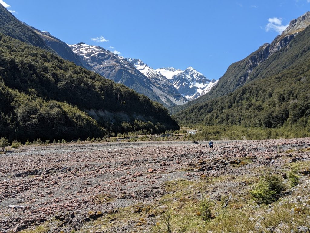
View towards Crow Valley 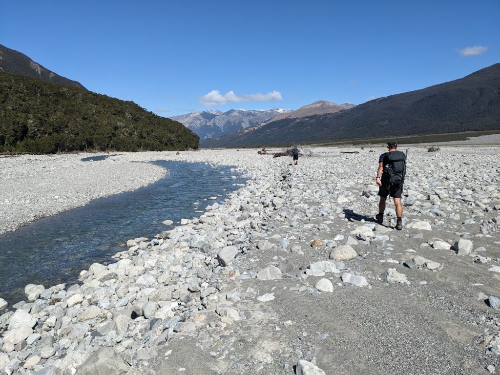
Tedious Waimak section 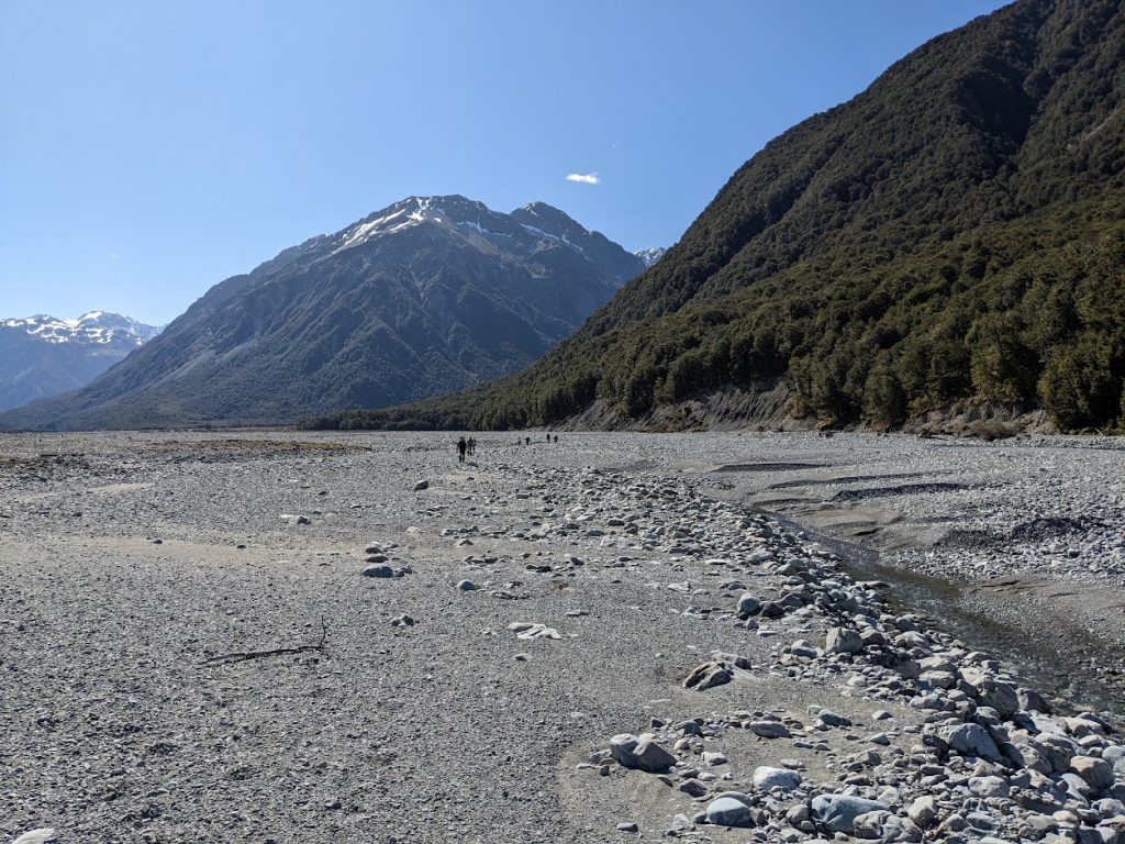
Tedious Waimak section 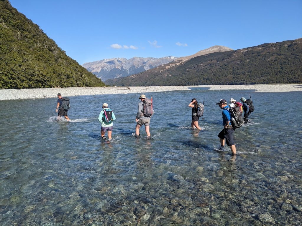
One of the easier crossings of Waimak River 
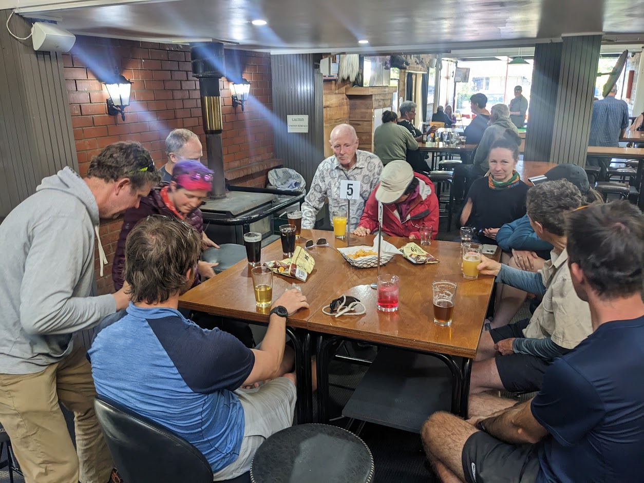
Darfield Hotel is the best choice for drinks between Christchurch and Arthur’s Pass now


Map
Max elevation: 1836 m
Min elevation: 647 m
Be the first to comment on "Avalanche Peak to Crow Hut"