| Hike Facts | Recommended Guide | |
|---|---|---|
| Distance | 14 km |  |
| Ascent | 300 m | |
| Estimated time | 5 hours | |
| GPX files & profile | See the online map below | |
| This is a section of | Mývatn – Ásbyrgi Trail | |
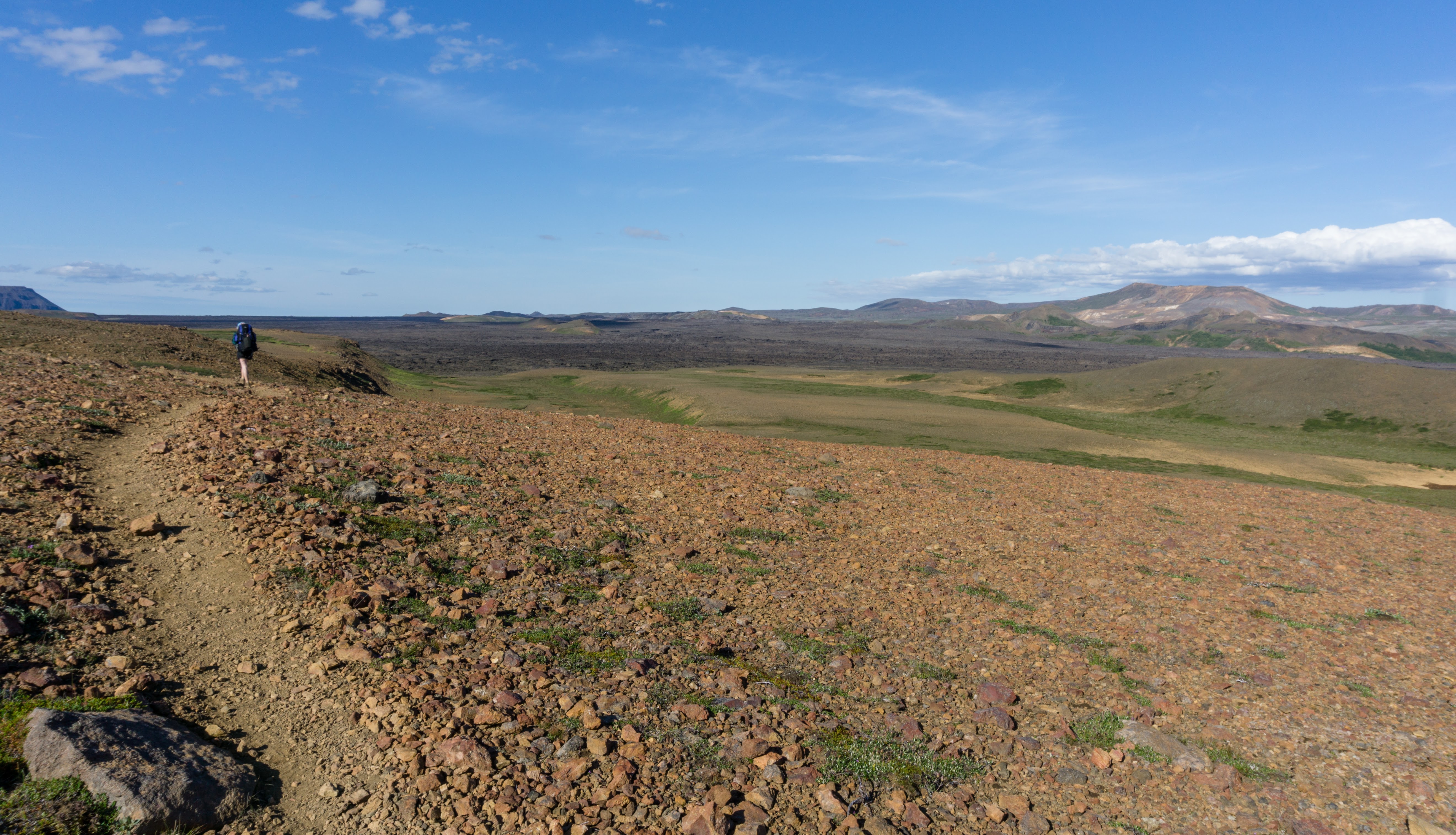
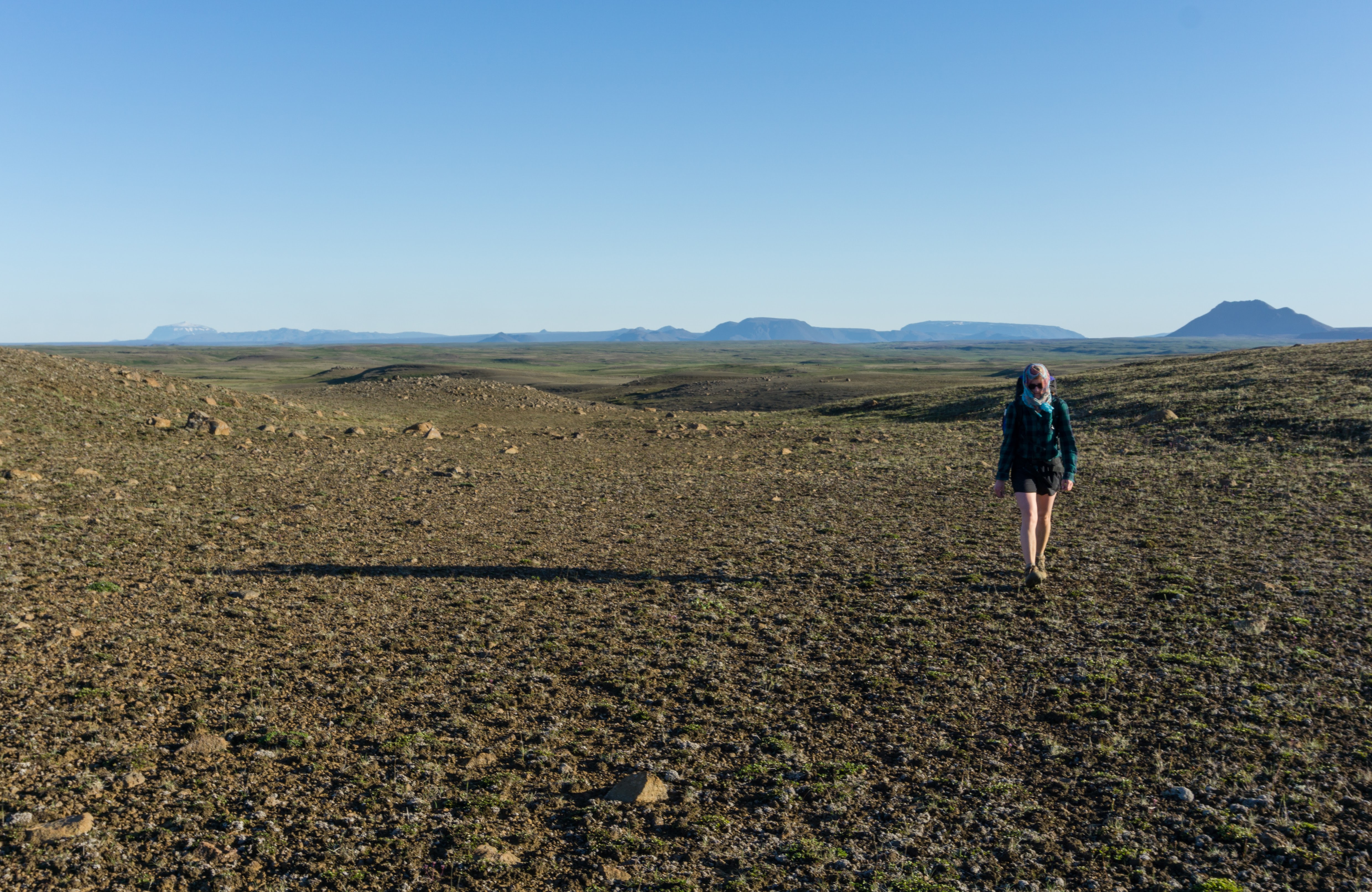
Terrain: The stage is unmarked, tiring and the most challenging of the whole hike as you walk almost exclusively on soft scree. Drinking water is available by the lake Eilífsvötn.
Starting by the crater Stóra Víti, we set off north across the slope of Mt. Krafla. There are a few rock cairns along the trail which tell you if you’re heading the right direction. Unfortunately, they don’t tell you if you are NOT going the right direction so don’t rely on them.
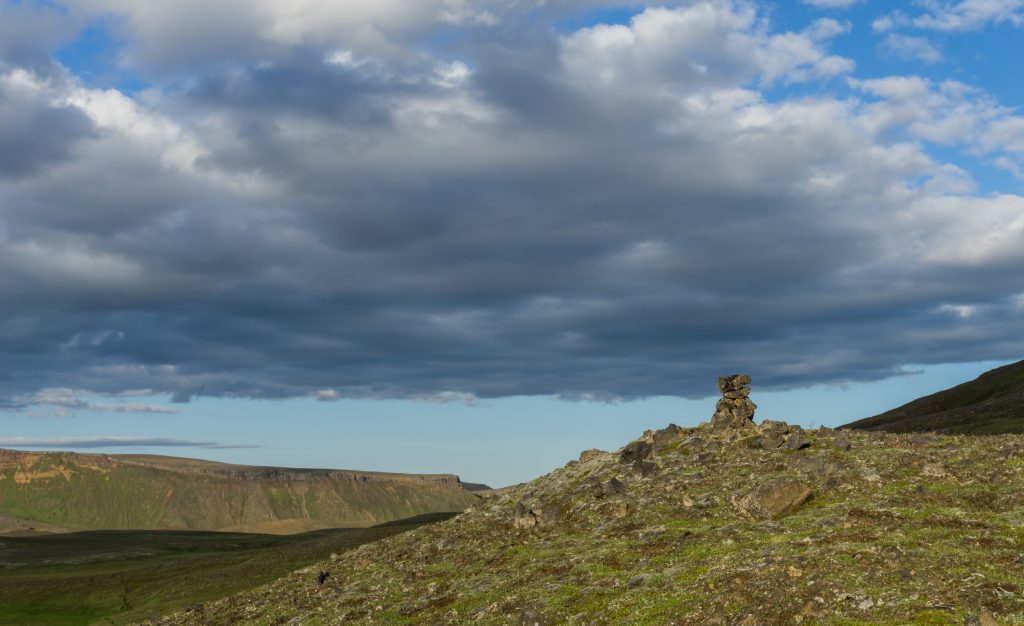
A rock cairn in Krafla
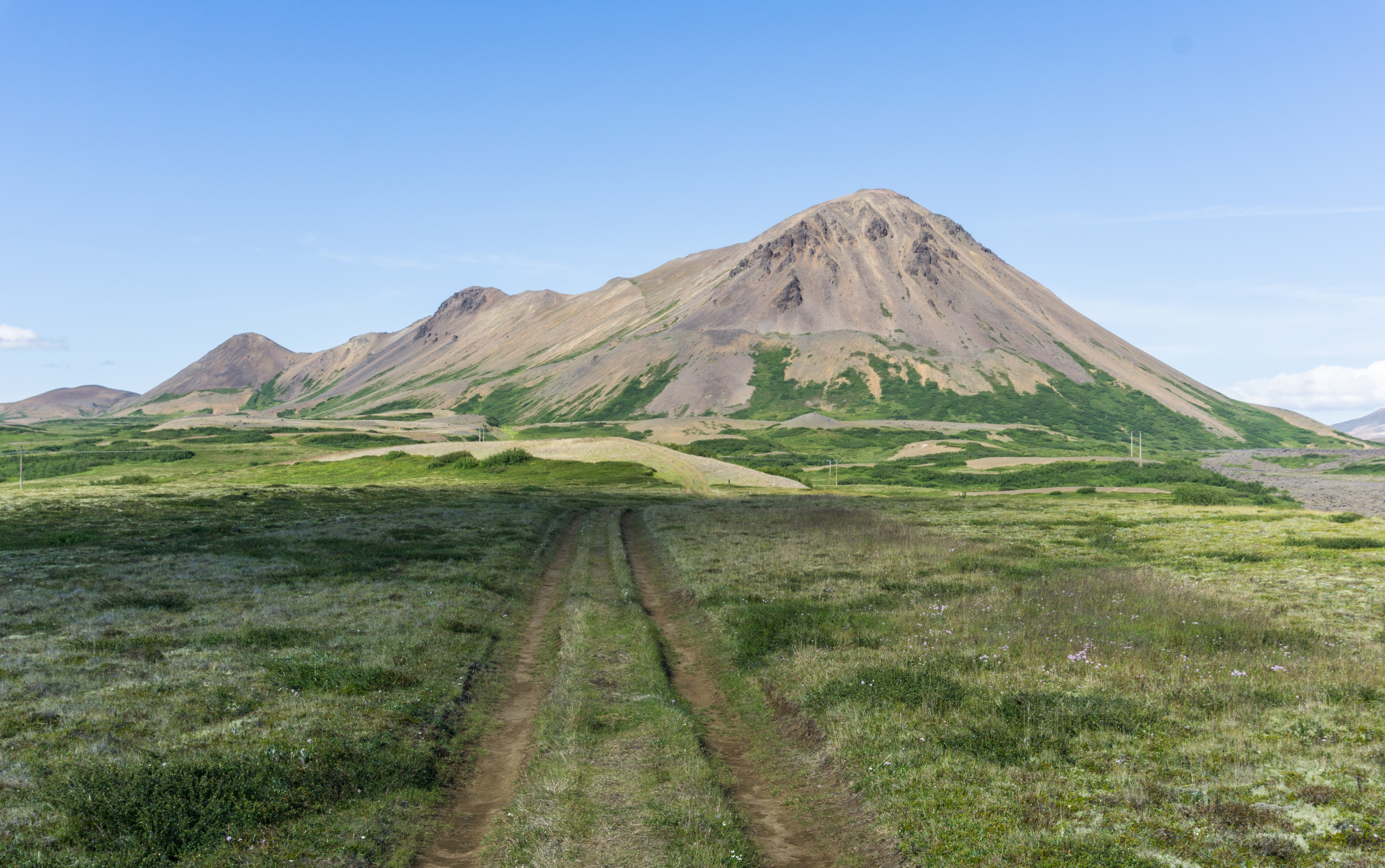
The landscape around was absolutely stunning. The sun was going down slowly to its resting place for the night on the horizon, and there was nothing but us, chased by endlessly long shadows of dark volcanos.
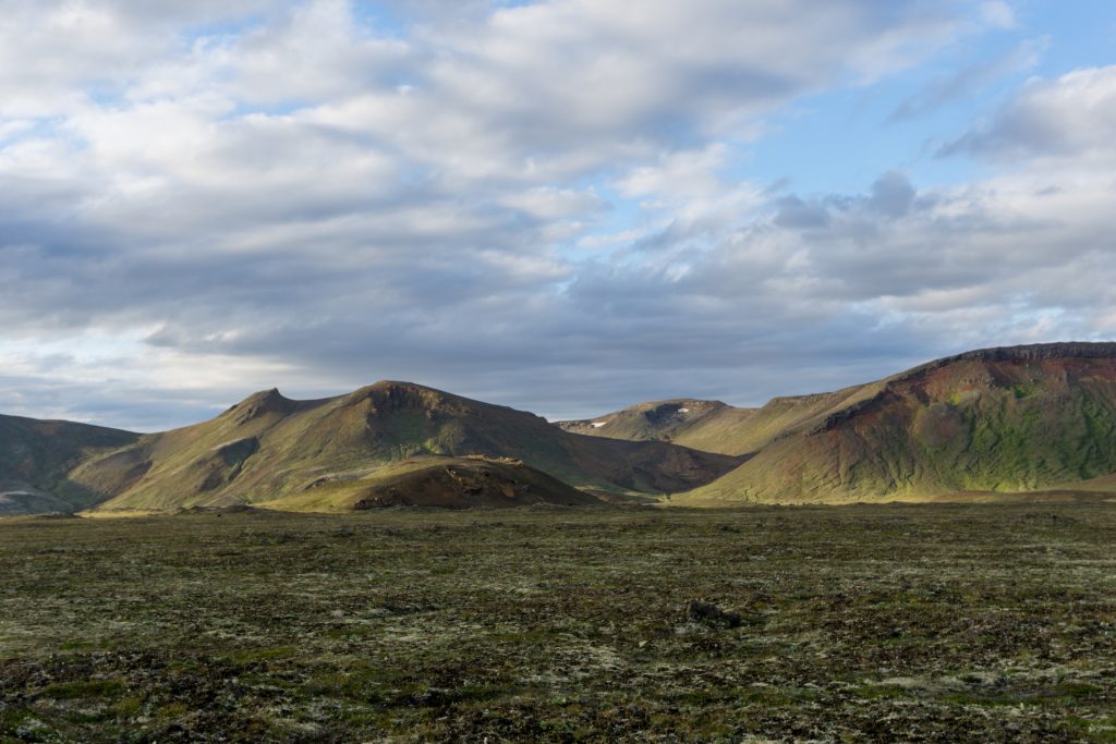
Somewhere
We chose to go around the mountain range between us and the lake from its eastern side and not to attempt to cross over straight ahead. I recommend you to do the same, it’s longer but safer. The trail is sometimes a tiny little bit visible, but it depends on how recently other people have walked it, and it’s easy to confuse it with a sheep track. If you have GPS on you, you shouldn’t have a problem to find it.
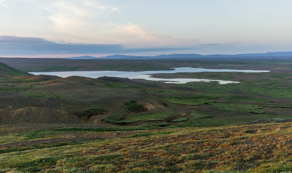
Eilífsvötn
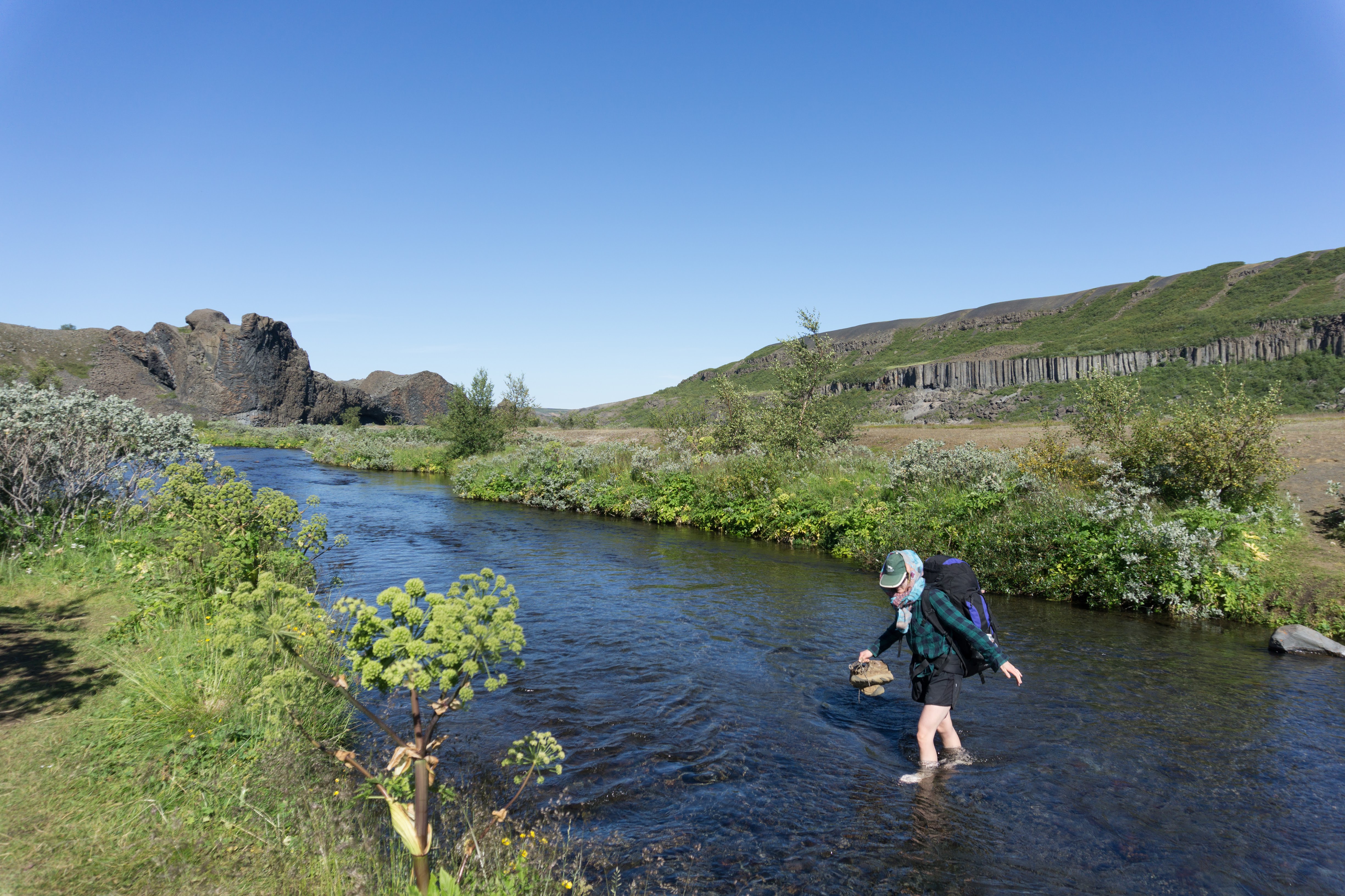
We reached the lake Eilífsvötn after about 4 hours of solid hiking. We pitched our tent just next to a hut of local farmers. It was flat, with plenty of grass and a small stream with drinking water. Super nice.
Map
Max elevation: 713 m
Min elevation: 361 m
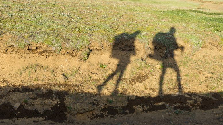
Super nice photo of you both!
Thank you! More is coming!