| Hike Facts | Recommended Guide | |
|---|---|---|
| Distance | 18 km |  |
| Ascent | 400 m | |
| Estimated time | 4 hours | |
| GPX files & profile | See the online map below | |
| This is a section of | Mývatn – Ásbyrgi Trail | |
Terrain: Relatively easy, well marked trail along the left side of Jökulsárgljúfur canyon. Drinking water is at the Dettifoss campsite (for hikers only!) and then plenty in Hólmatungur.
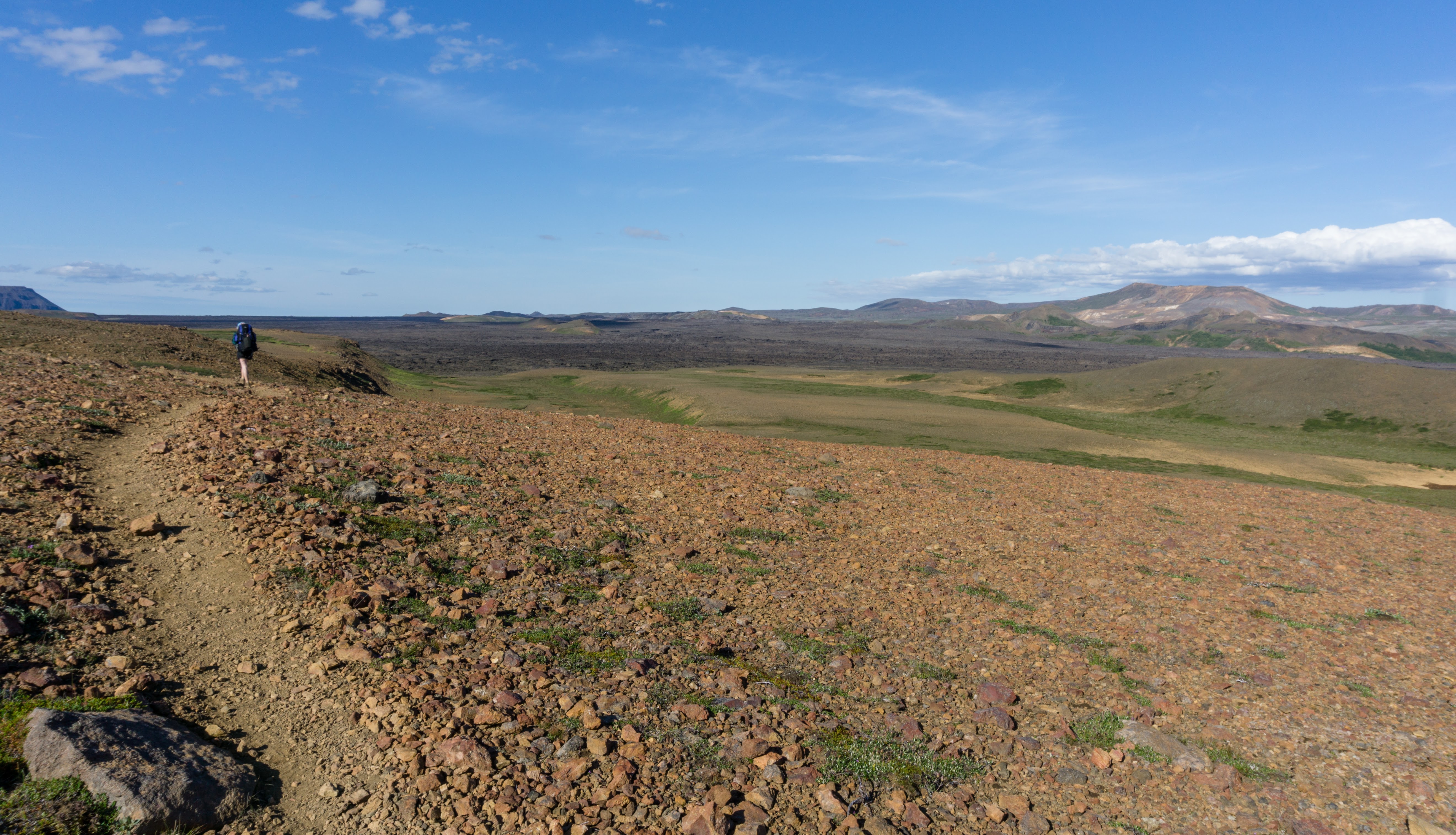
We left the waterfall, Dettifoss, by early morning and started heading south along the western edge of the canyon. The sooner you start, the less tourists you meet. We started at 7am and didn’t meet a soul.
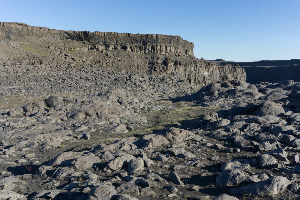
Rock formations near Dettifoss
We chose not to go down to Hafragil because it was strongly discouraged for people with heavy backpacks. Going around is easier but a bit longer.
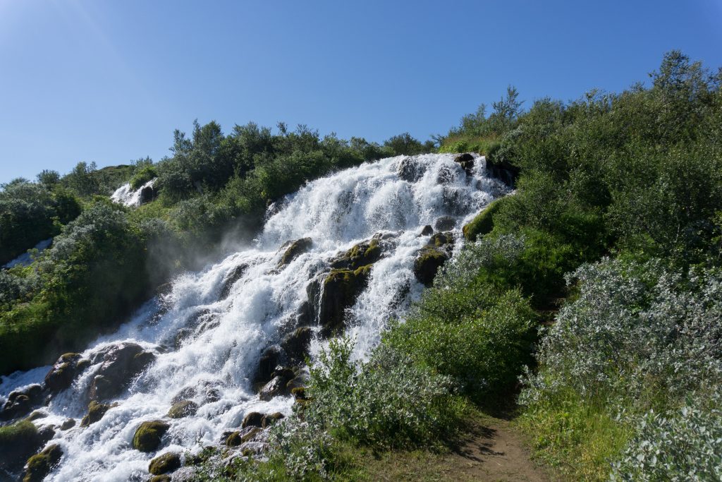
Waterfall on the way
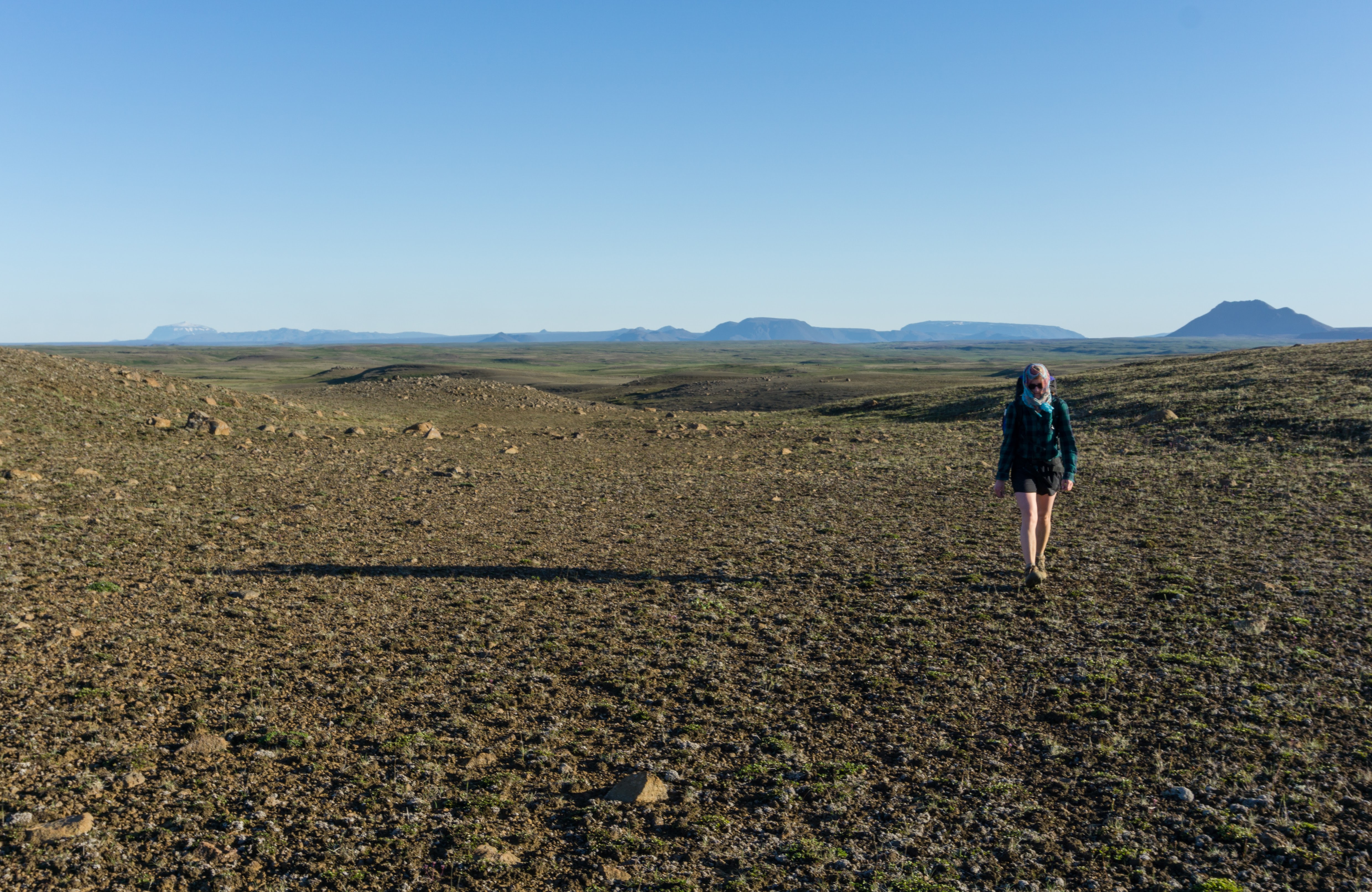
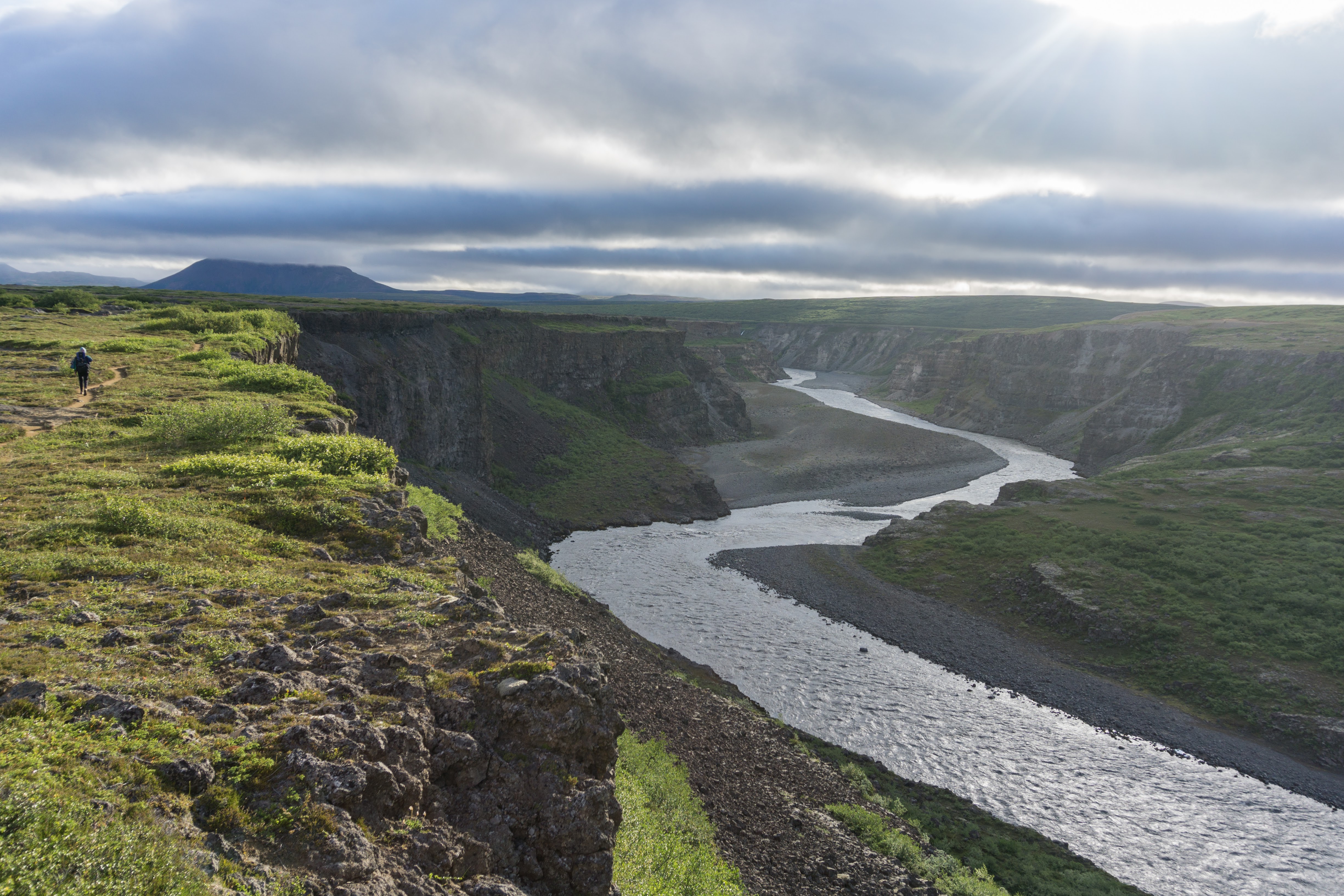
All the way to Hólmatungur the trail is pretty much the same – clearly visible, easy to walk on and with stunning views of the canyon and its waterfalls.
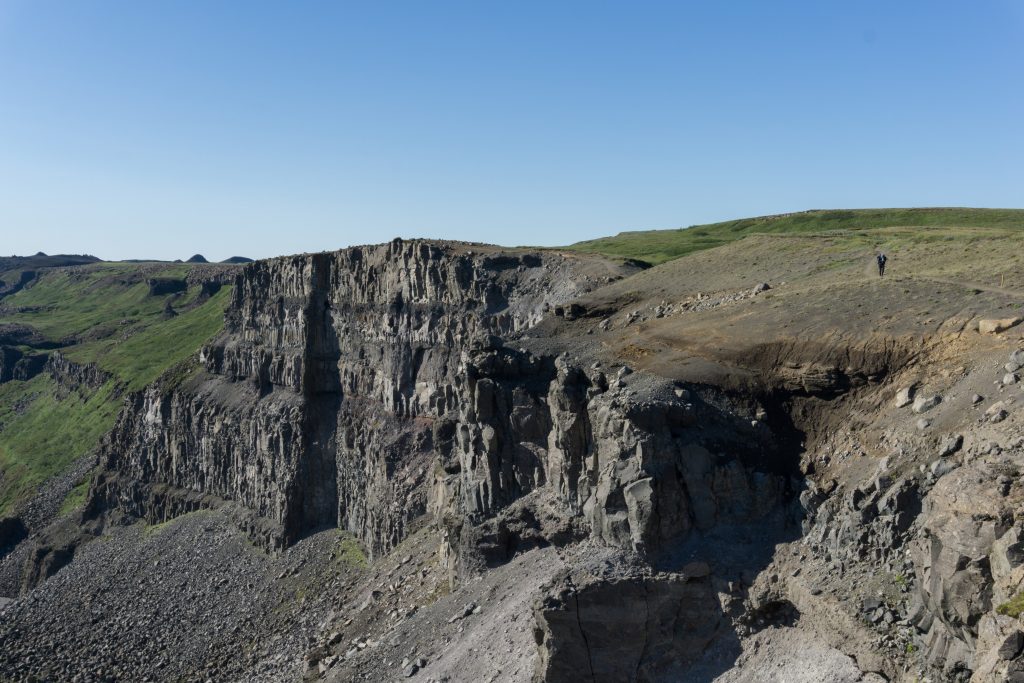
River’s canyon
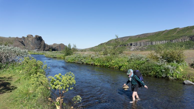
In Hólmatungur we passed a few smaller but very lovely waterfalls. We forded a small river and continued following an easy-going path to Vesturdalur. The local campsite is nice with plenty of water and places to hide from the wind.
Map
Max elevation: 337 m
Min elevation: 120 m
Be the first to comment on "On the trail from Mývatn to Ásbyrgi: hiking from Dettifoss to Vesturdalur"