Long distance hikes

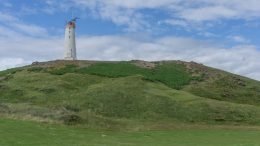
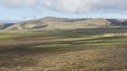
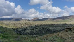
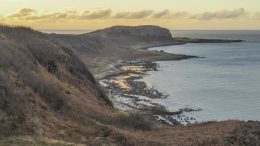
The Arran Coastal Way Hiking Report

Late November may not appear to be the ideal time to hike the Arran Coastal Way. However, I had reached saturation point with day to day life in the dark depths of Glasgow and needed to get out for some fresh air and alone time.


West Highland Way in 5 days

Walking the West Highland Way in November was quite a spontaneous decision, mostly based on a small window of good weather. I’d been in Scotland for a few months and hadn’t seen such a steady forecast lasting 4-5 days. It occurred to me that I could walk the West Highland Way in that amount of time and decided it was too good an opportunity to pass up.


Reykjavegur, stage 6: Djúpavatn – Grindavík

The shortest stage of the trail is still very dry and volcanic but gets a bit busier thanks to a nearby main road. At the end of the stage it’s possible to make a detour to the famous hot pools, Blue Lagoon, or the city of Grindavík with a supermarket. There isn’t any water on the trail itself. Very vaguely marked.


Reykjavegur, stage 5: Djúpavatn – Brattháls

The fifth stage starts by crossing a colorful volcanic range. An easy grassy part is followed by an extensive mossy lava field. Only vaguely marked overall, and the initial range not marked at all(!). There are tiny streams in the grassy part but no water at the end(!).


Reykjavegur, stage 4: Kaldársel – Djúpavatn

First part is forested but after the quarry it gets volcanic again. Marking is sometimes confusing, especially around the quarry. Water only at the start (a small river flowing out of the reservoir) and the end (a tiny stream going to the lake Djúpavatn).


Reykjavegur, stage 2: Múlasel – Bláfjallaskáli

Rough from the start, flat and industrial in the middle with a long gradual ascent and sharp descent at the end. Some parts are vaguely marked or not at all. There isn’t any water between the Exhibition centre in Hellisheiði and the ski resort in Bláfjallaskáli.


Reykjavegur, stage 1: Nesjavellir – Múlasel

This stage is hilly with lots of waterfalls and plenty of streams to drink from. It’s very well marked but you need to know where to go since the signs don’t say ‘Reykjavegur’ but only local names (follow signs to: Dyravegur / Dyradalur, then Sleggjubeinsdalur). There is a free hut, Múlasel, at the end of the stage.