| Hike Facts | Recommended Guide | |
|---|---|---|
| Distance | 14 km |  |
| Ascent | 50 m | |
| Estimated time | 6 hours | |
| GPX files & profile | See the online map below | |
| This is a section of | Mývatn – Ásbyrgi Trail | |
Terrain: Easy, yet still unmarked trail over moor dunes and tussocks. There is a drinking water at Dettifoss campsite.
The surroundings of Lake Eilísvötn are lovely. The lake itself is very shallow, probably not deep enough for swimming.
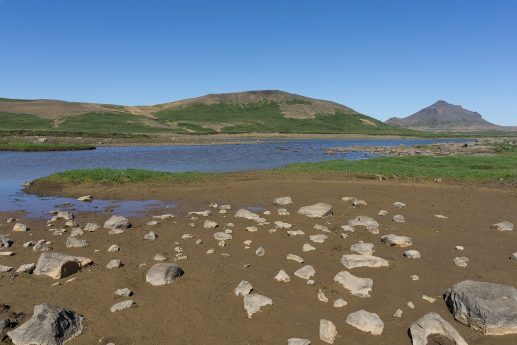
Lake Eilísvötn
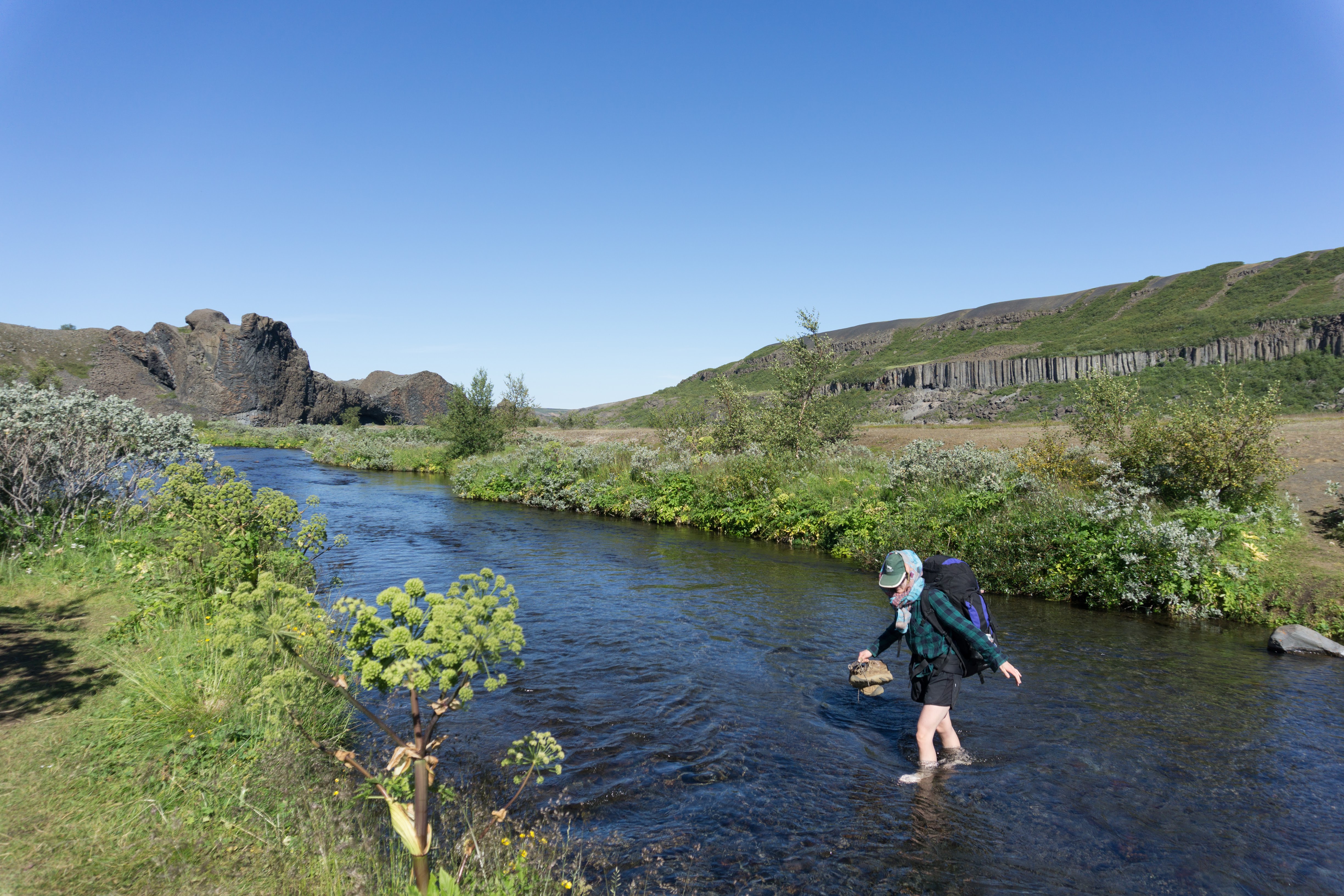
Starting by the farmer’s house at Lake Eilísvötn, we headed north-east. It may be possible to get to the main road (Road 87) heading to Dettifoss simply by following a 4wd track from the farmer’s house by the lake. We followed it for a while but we gave up when it appeared to be heading too far south and we didn’t want to end up walking along the main road for too long.
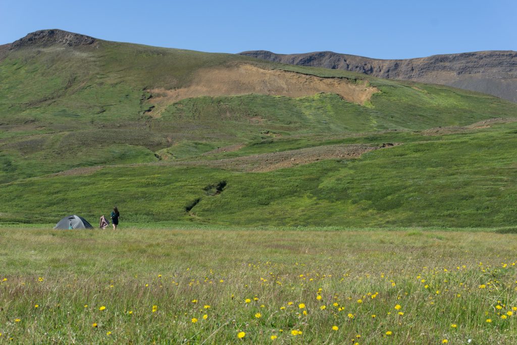
Our camp
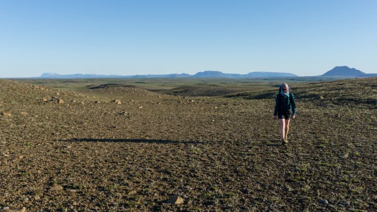
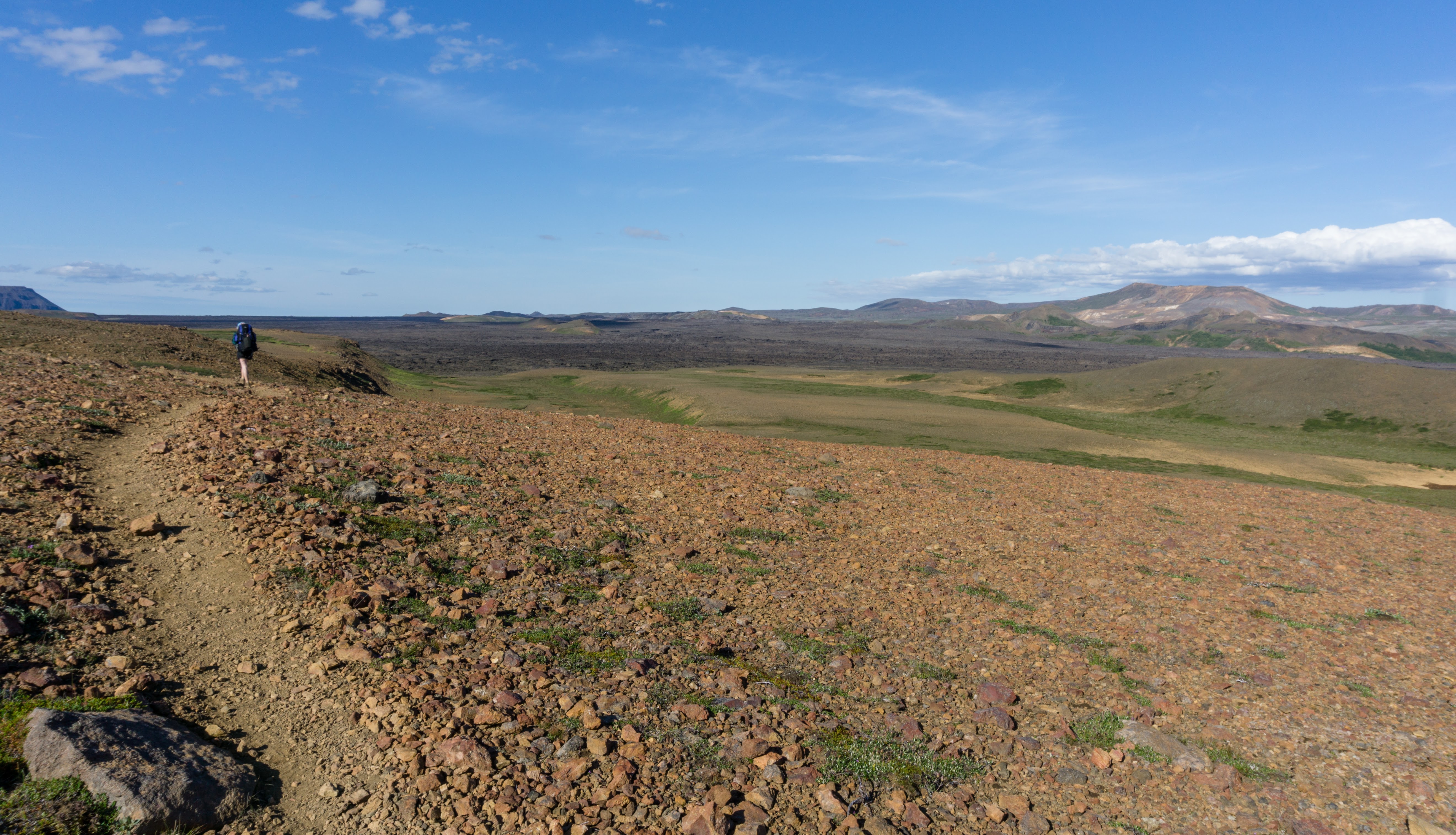
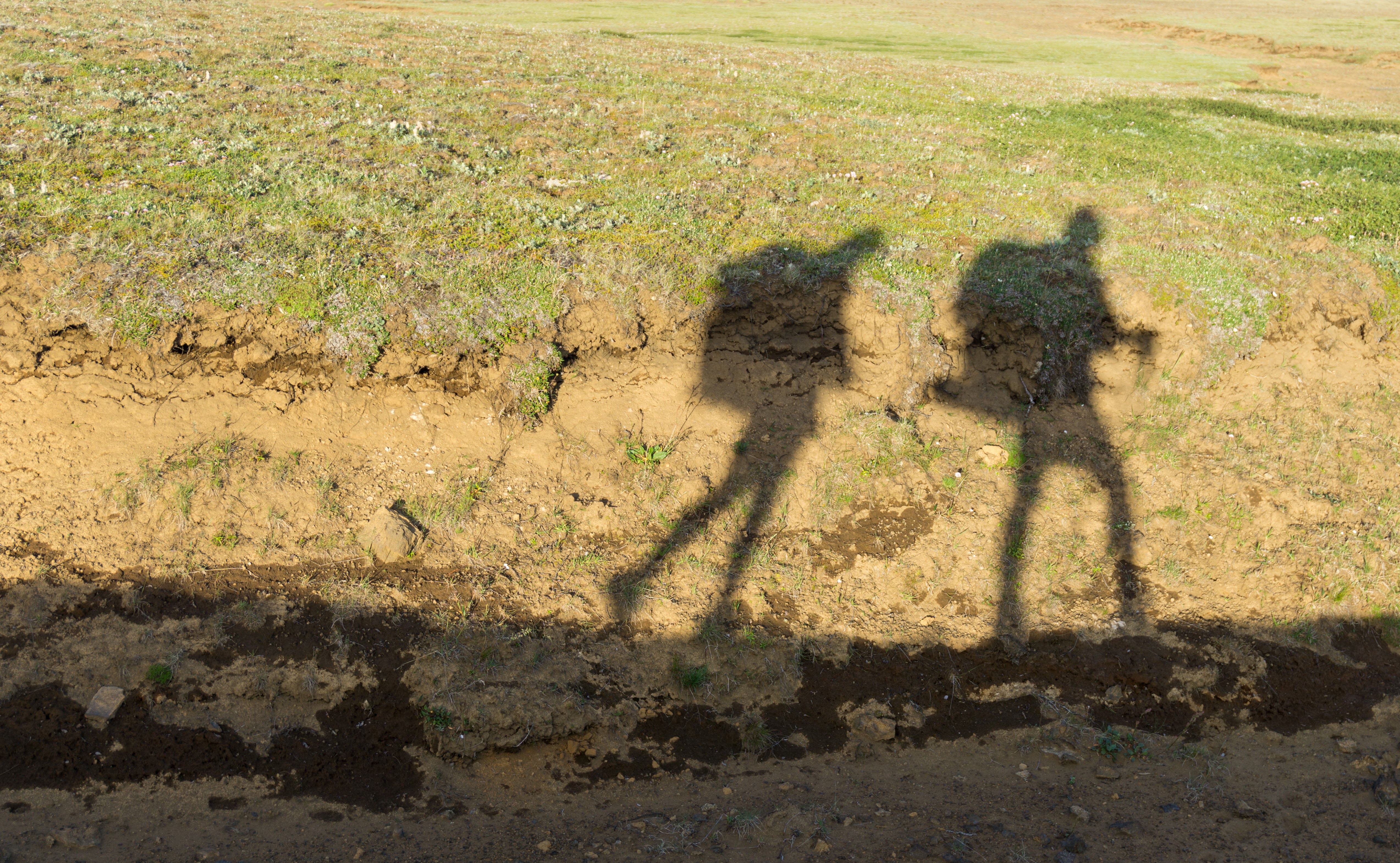
Leaving the 4WD tracks, we started to hike towards the famous waterfalls. We didn’t find even a glimpse of a trail so we were basically crossing the sandy tussocks as we pleased.
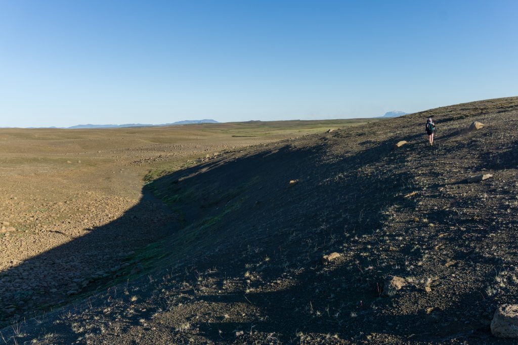
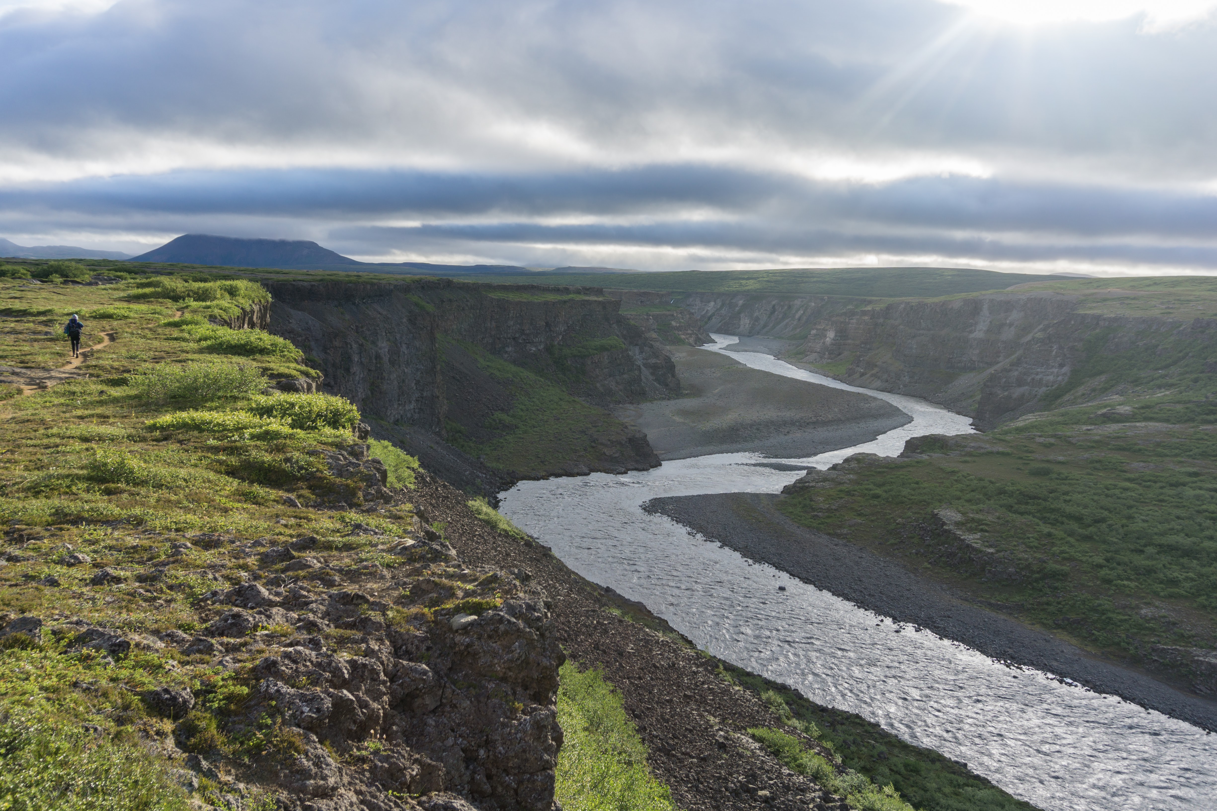
Trail could be a bit challenging at times
There are a few fences on the way but don’t worry about them too much. In Iceland, you can climb over fences and walk across private land as long as you don’t cause any damage. However camping on private land is obviously subject to permission from the farmer and best avoided. After a few hours we reached our destination: the spectacular waterfall, Dettifoss.
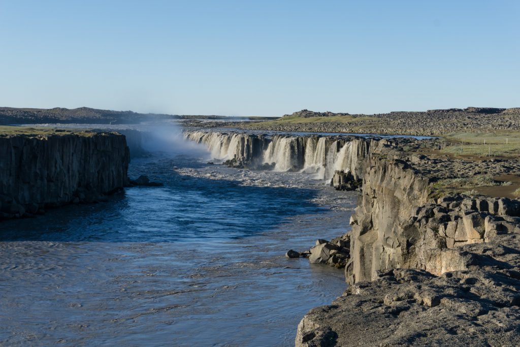
Dettifoss
There is a small campsite for hikers with a water canister which is being refilled every day by local rangers. Therefore, use the water with care.
Map
Max elevation: 382 m
Min elevation: 322 m
Be the first to comment on "On the trail from Mývatn to Ásbyrgi: hiking from Eilífsvötn to Dettifoss"