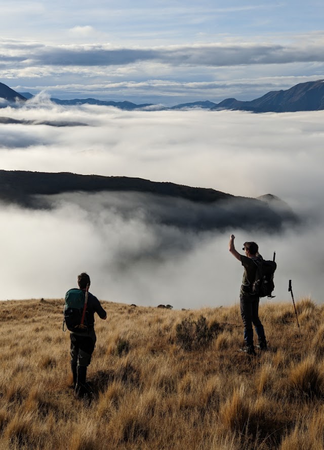
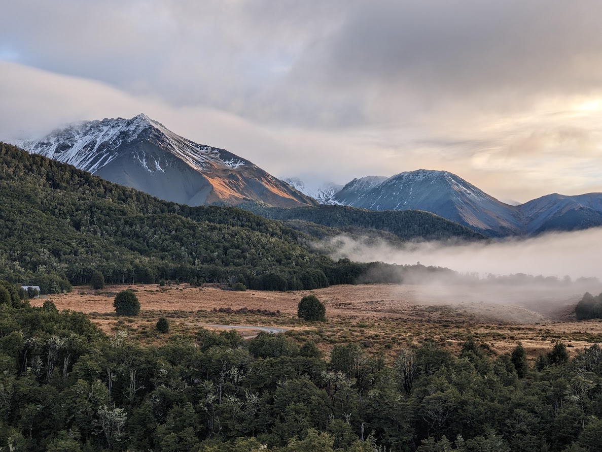
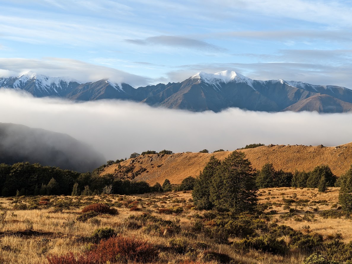
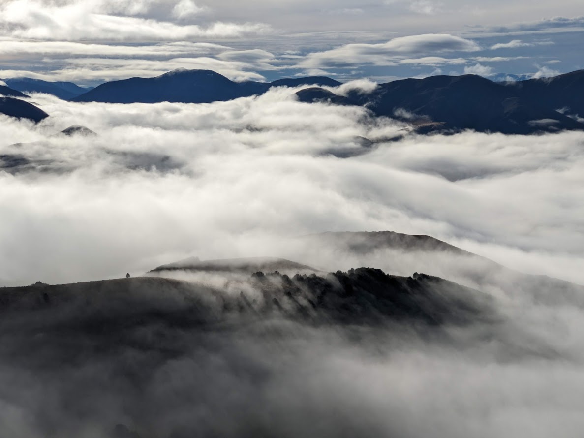
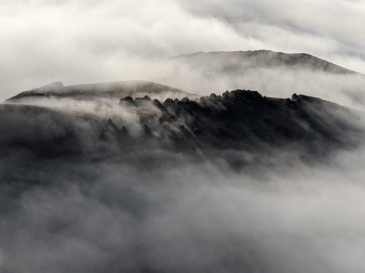
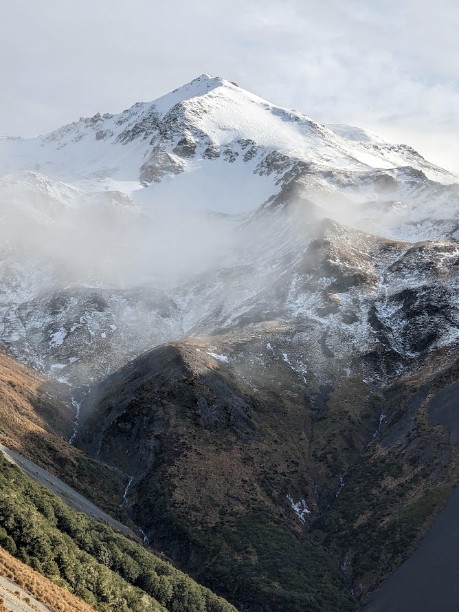
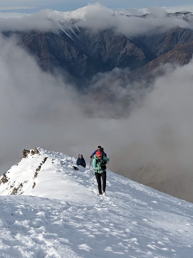
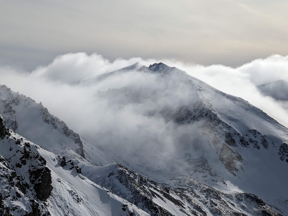
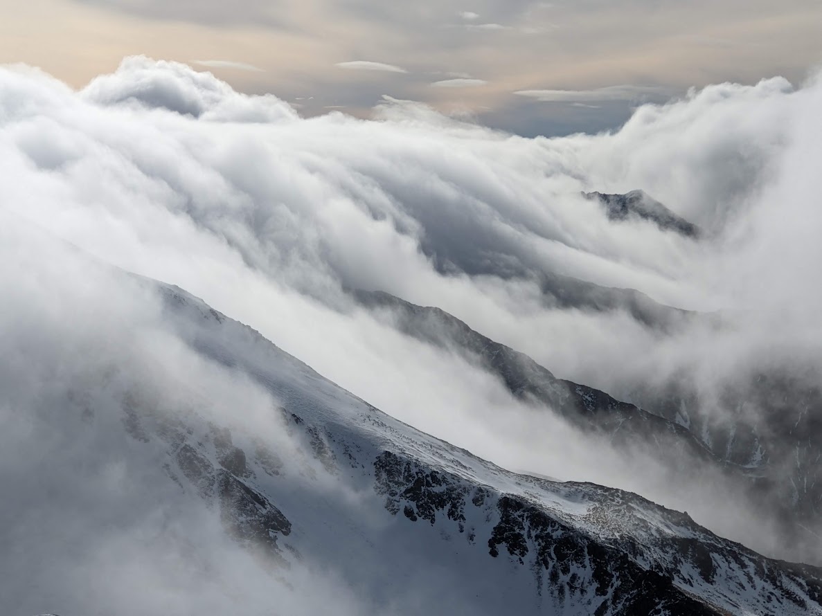
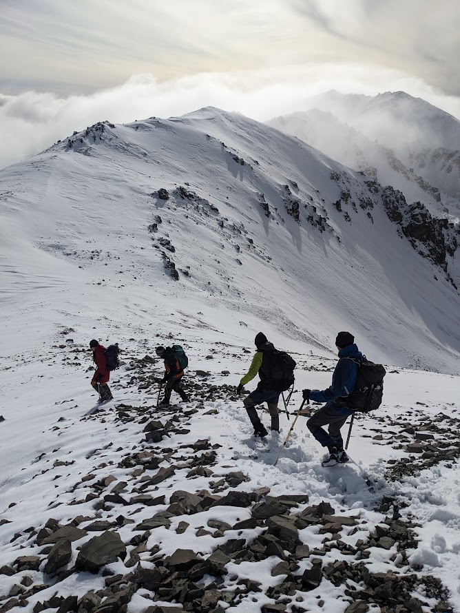
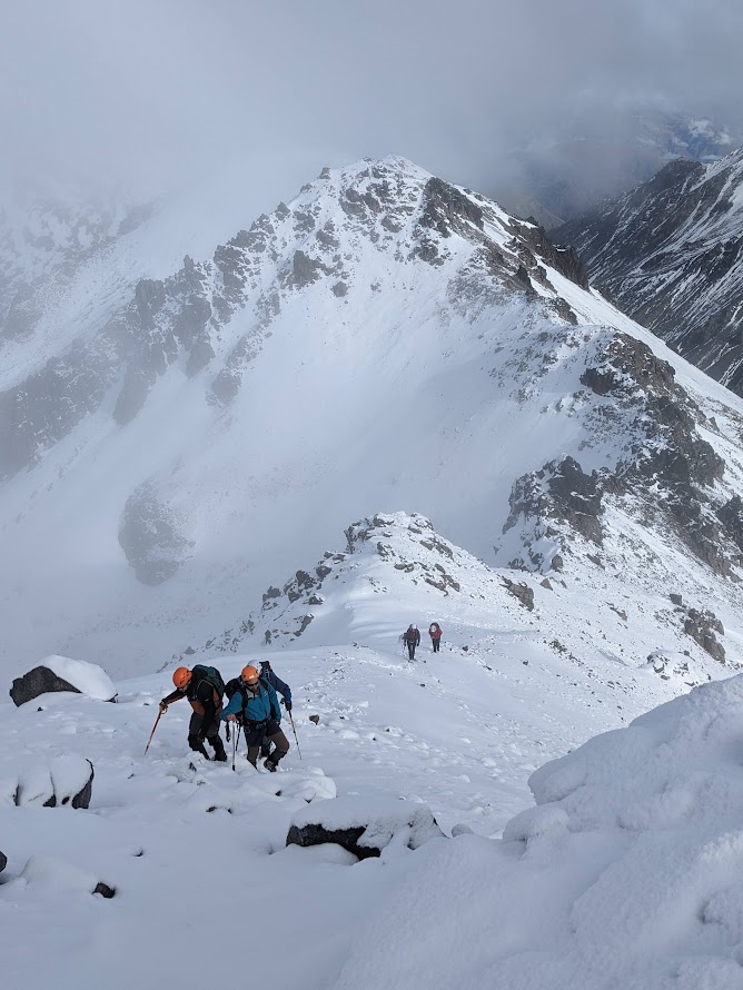
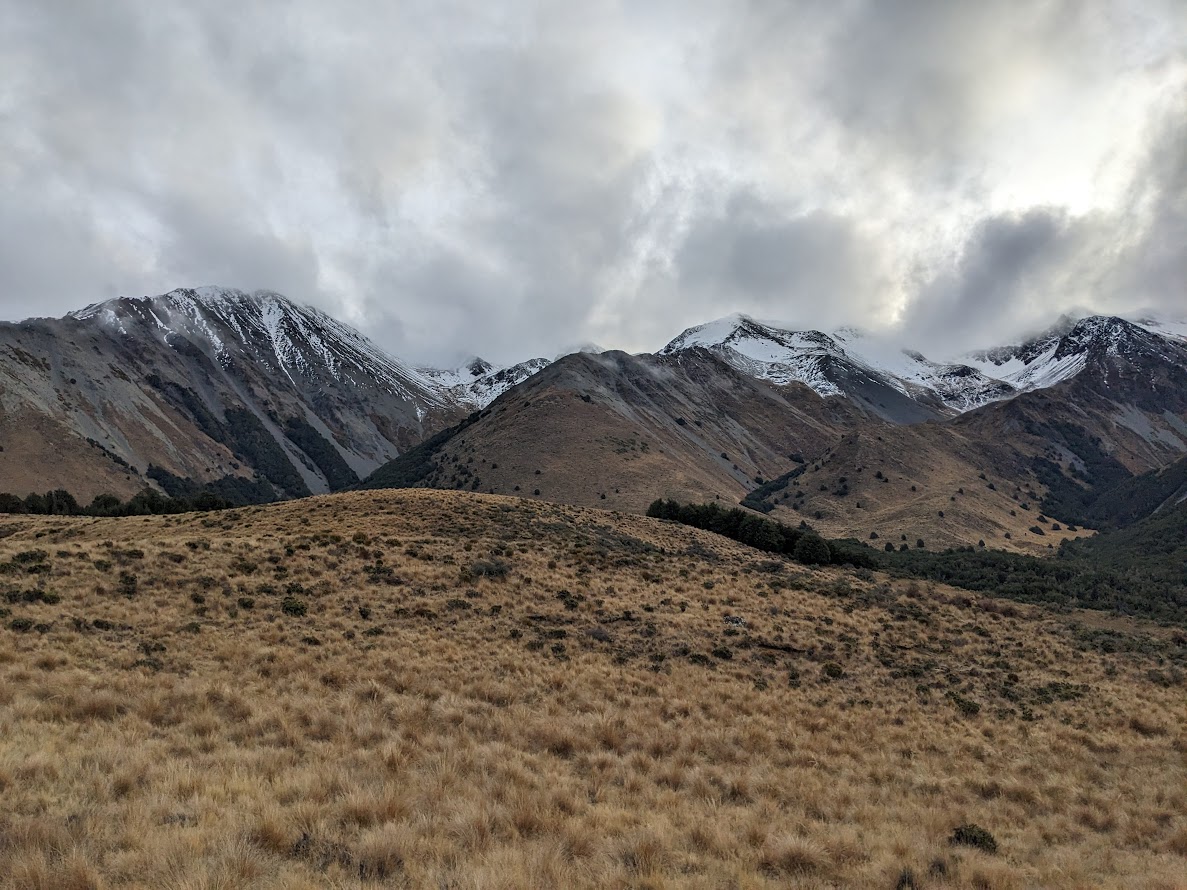
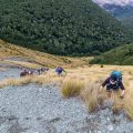
The weather forecast was so-so, but we decided to go anyway. There were “only” two cars of us, which is not much considering how good the trip turned out to be. We left out car at Hogs Back carpark. Geoffrey, the trip leader, led us along Hogs Back track. After we crossed Waterfall Creek, we jumped on a big prominent ridge leading to Mt Izard. The ridge is pretty straightforward – just a lot of unforgiving elevation gain in a very short distance. The weather turned out to be pretty epic, with some dramatic clouds rolling over Craigieburns and providing some good photo material.
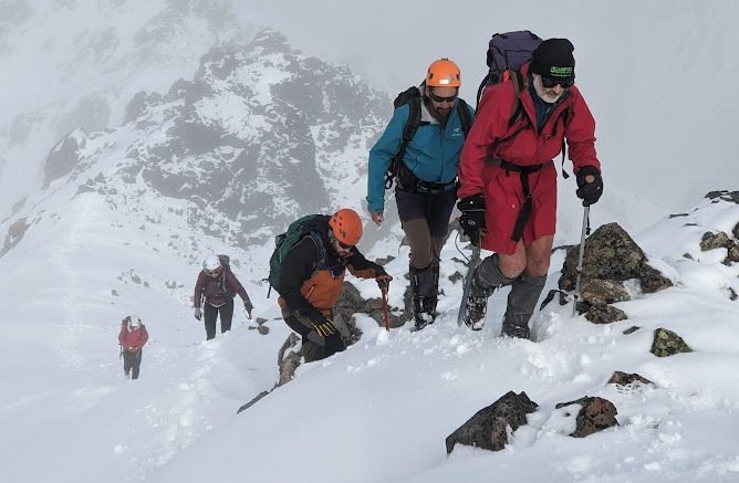
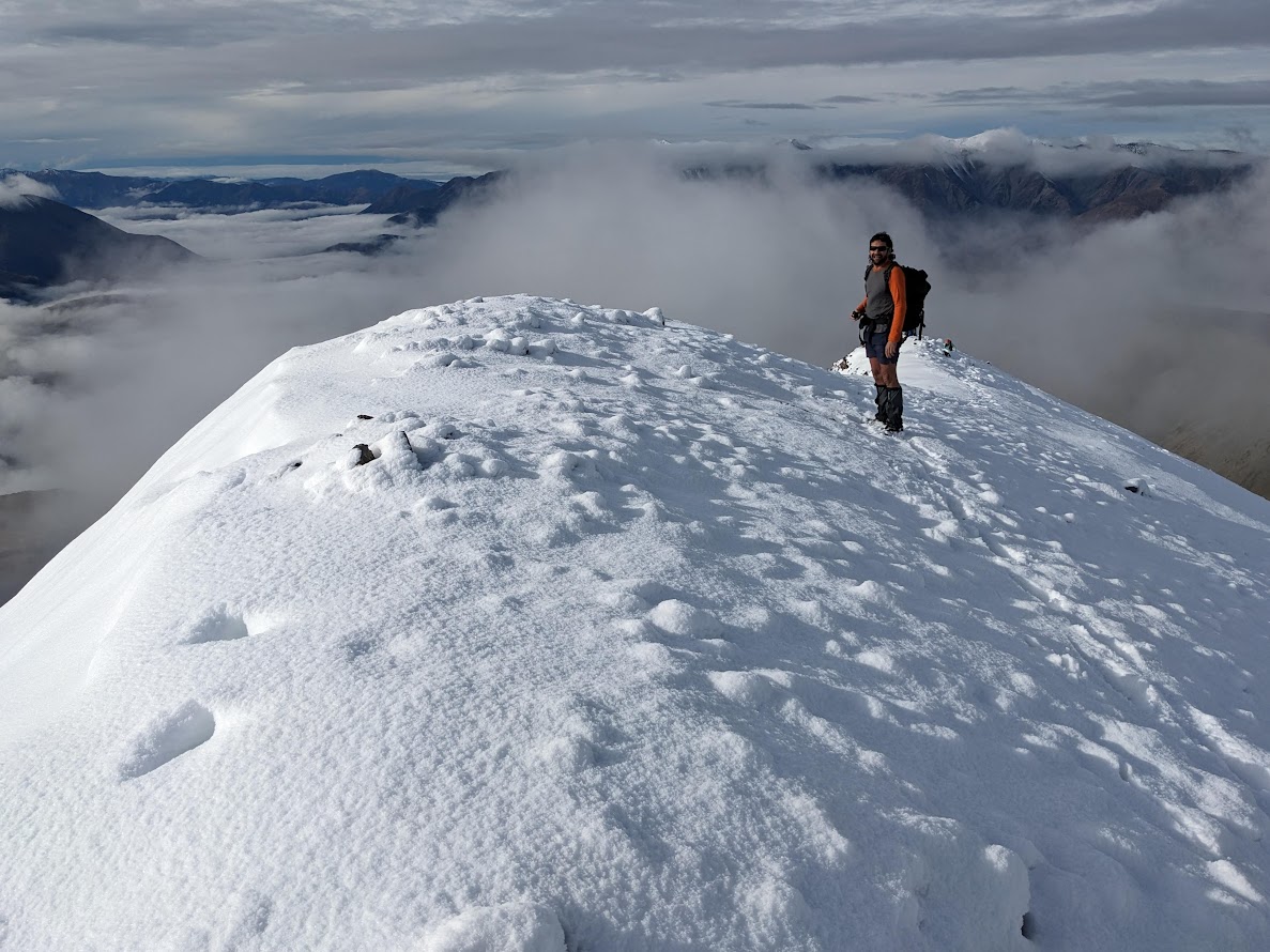
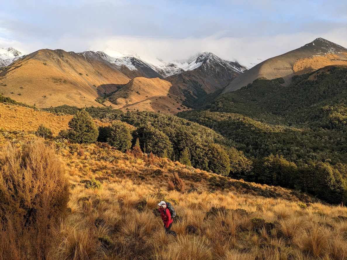
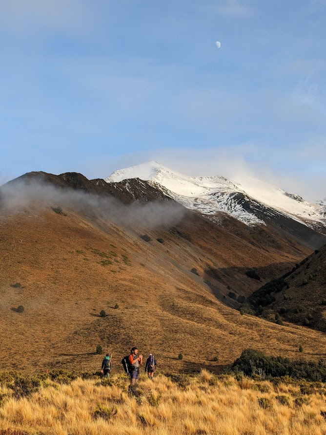
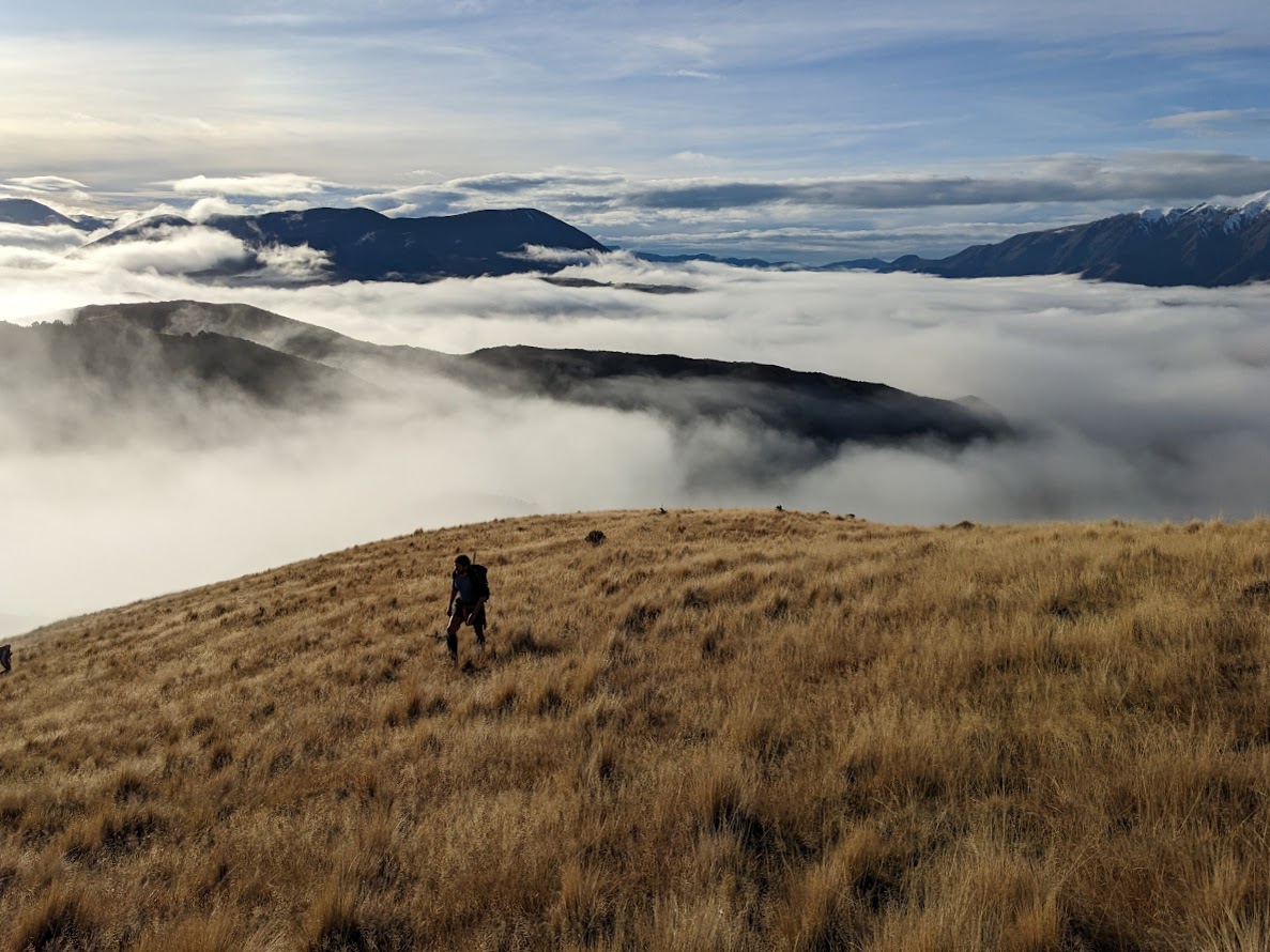
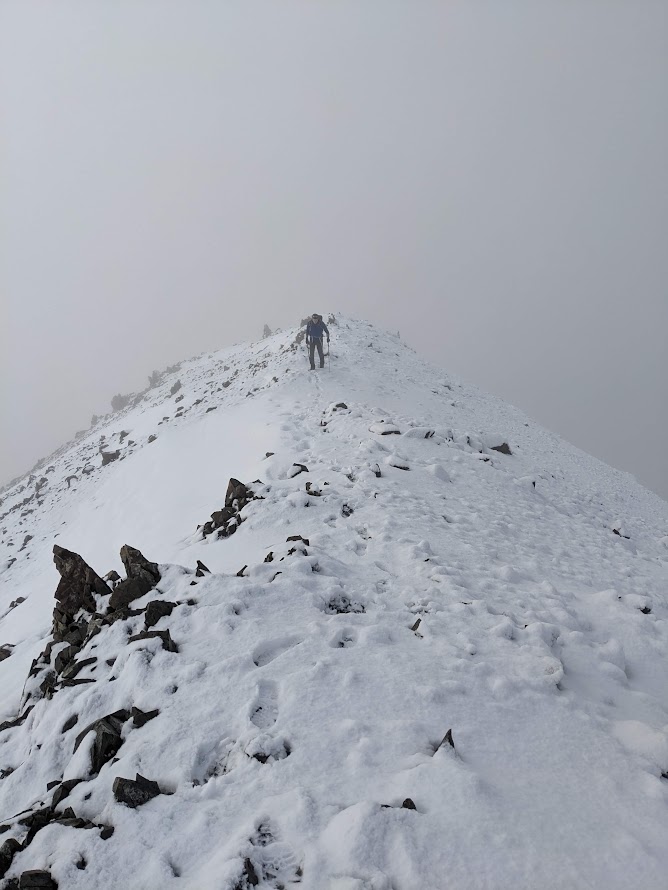
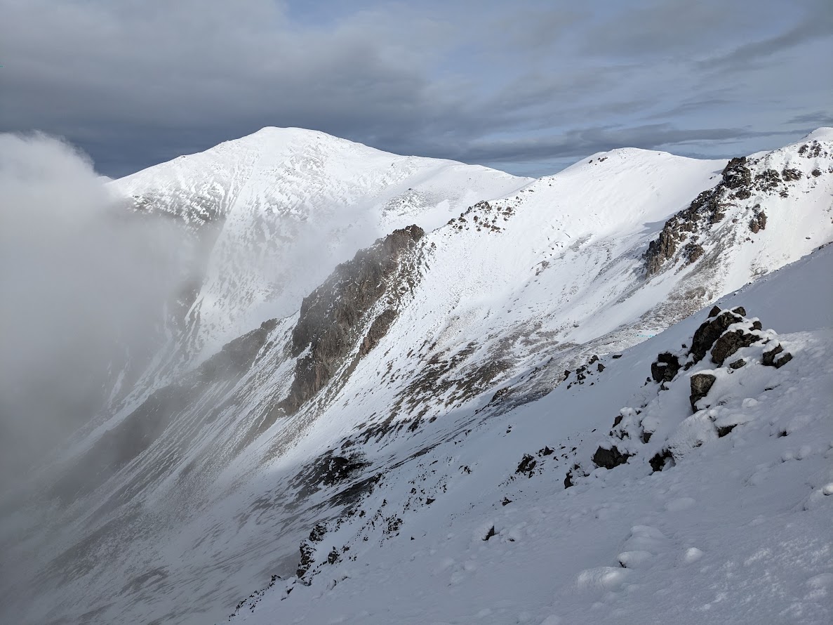
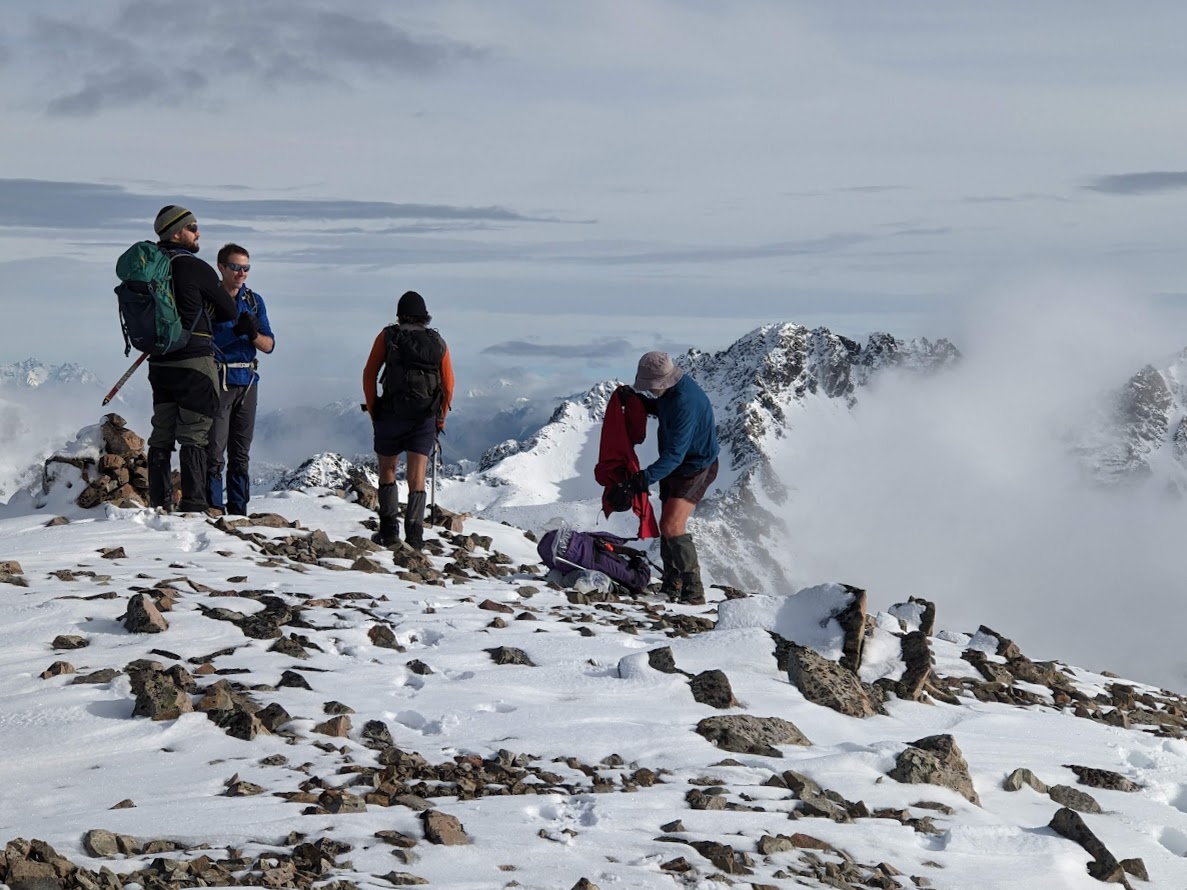
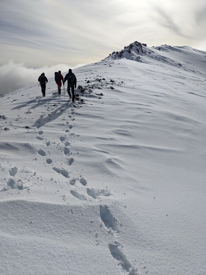
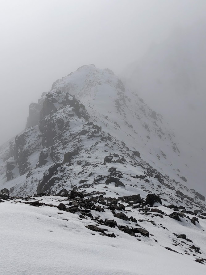
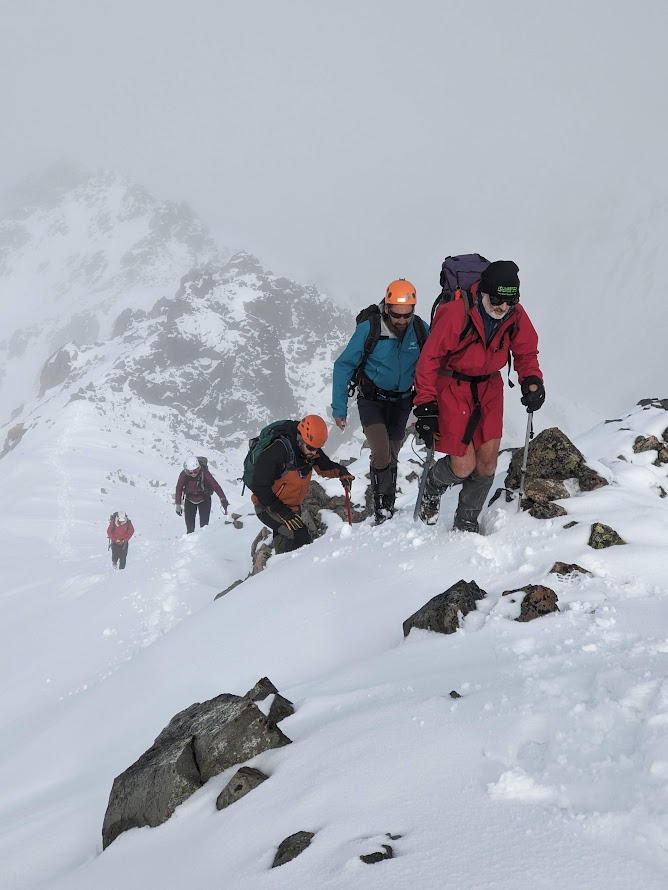
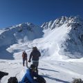
We summited Mt Izard and continued along a scary-looking but relatively easy-going ridge to Mt Cheesman. It’s only 2 km, but it could take us about 2 hours to traverse. This is perhaps the most challenging – but also the most fun – ridge of Craigieburns, with many inaccessible rock formations that all can be slid from the left (West side). I believe that the most efficient way is actually to drop from somewhere around pt1959 to the western plateau at about the 1800m contour, follow the plateau to the ridge between Mt Cheesman and pt1836, and then follow this ridge to Cheesman. But this way, we’d miss all the fun, so we stayed on the ridge and summited Mt Cheesman 2 hours later.
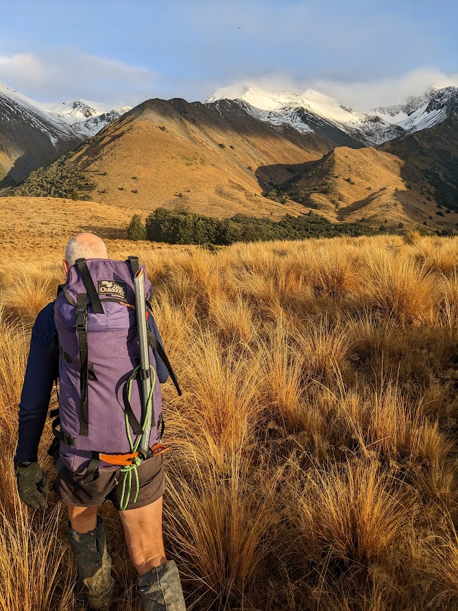
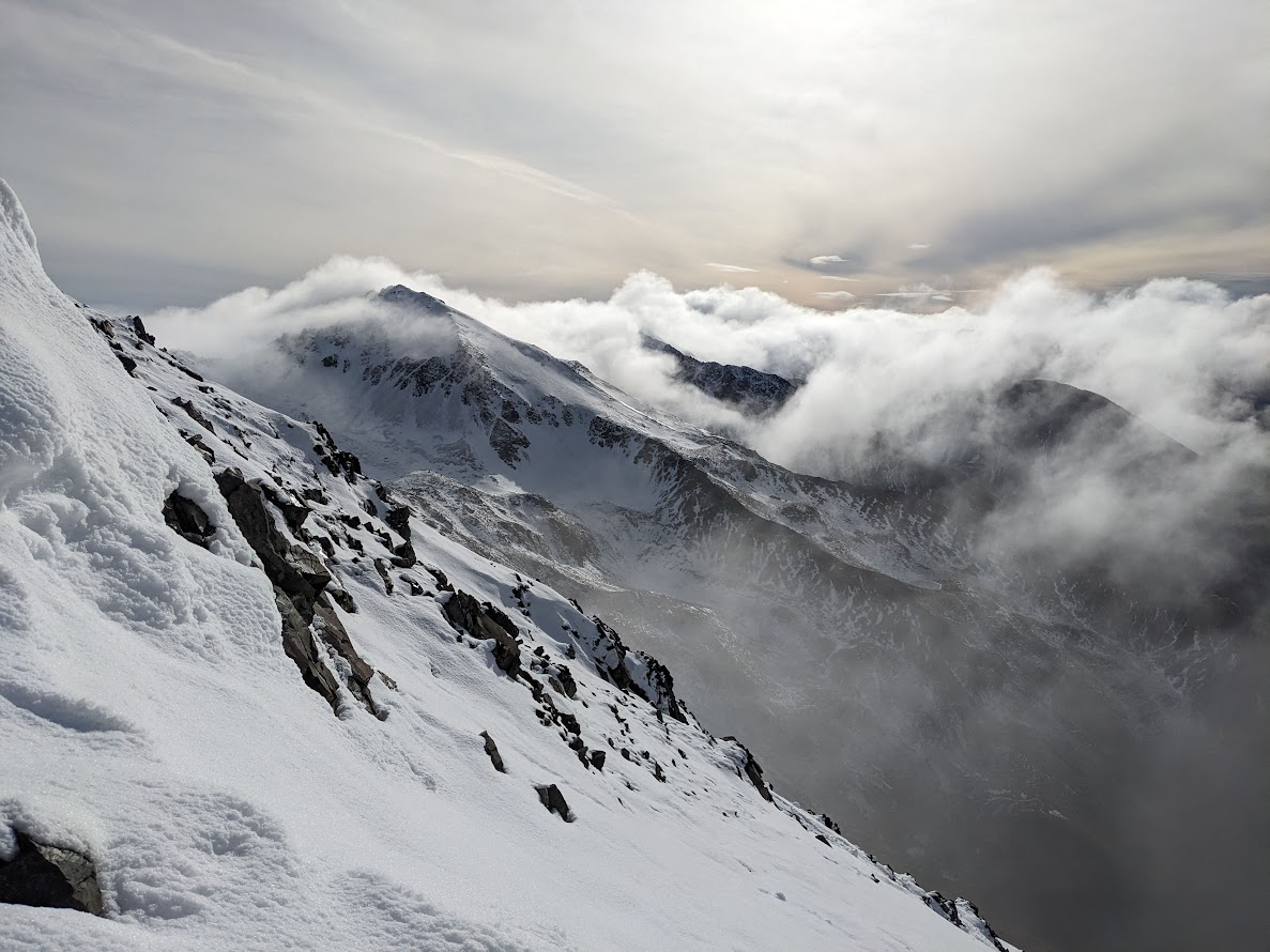
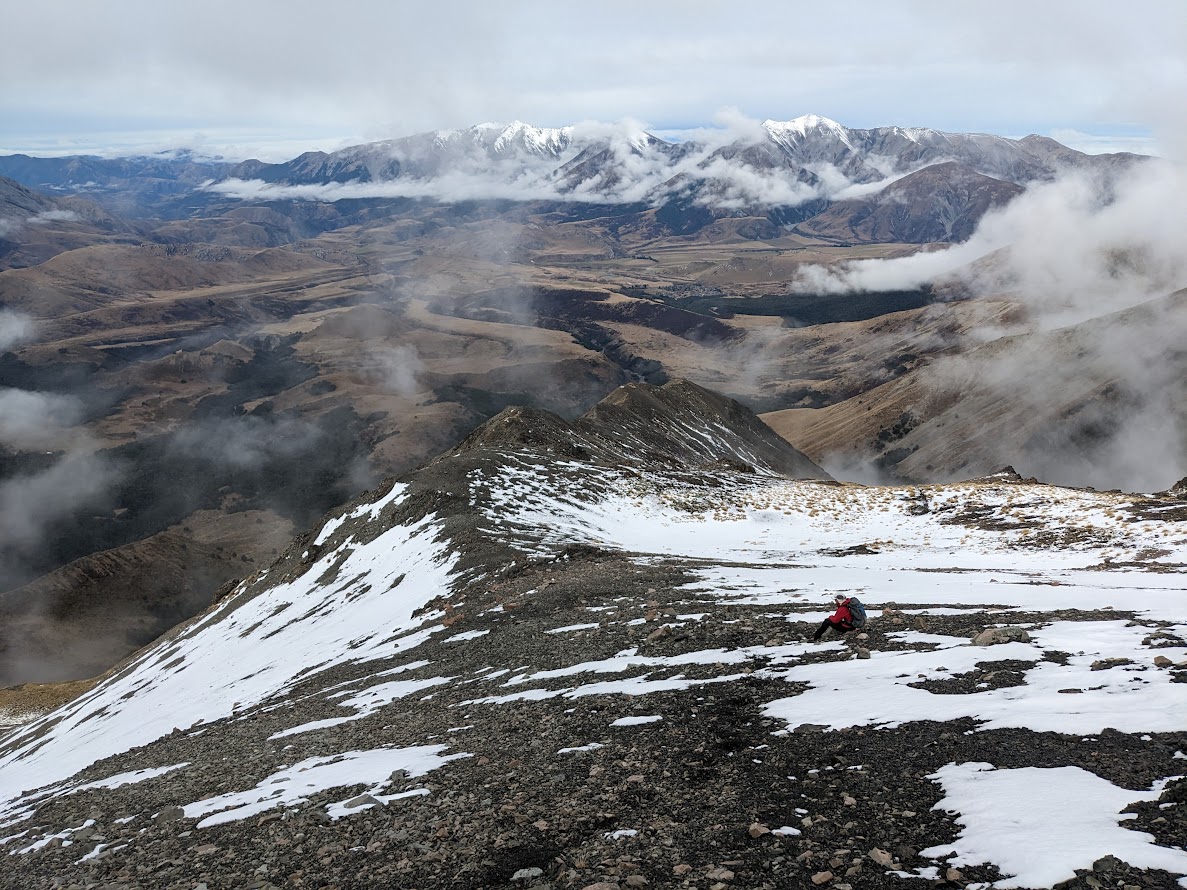
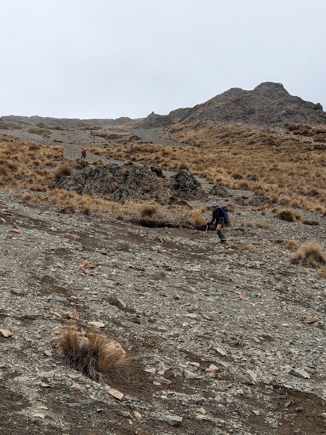
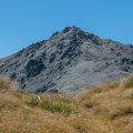
From Mt Cheesman, natural instinct would lead us straight down to the East, but the best way is actually to go southeast towards pt1552. From there, a prominent scree slope can be taken that helps to overcome about 400m elevation in no time. The scree is pretty good, I’d say 8/10. After that, it’s pretty straightforward; it’s obviously about finding Hogsback Track and following it back to the cars. It was a pretty epic trip, the best I’ve done in Craigieburns so far.
Stats: 14,7 km, 7 h 45 min, 1507 m ascent
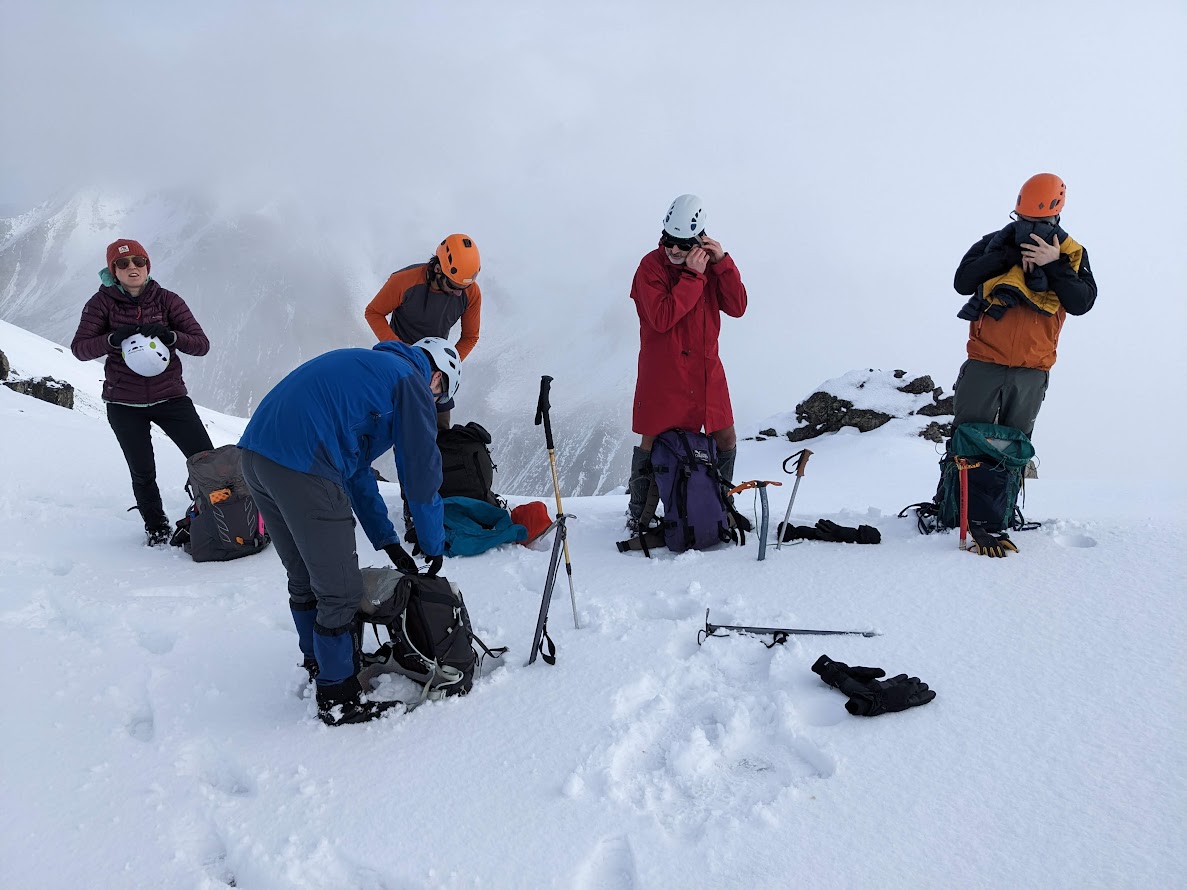
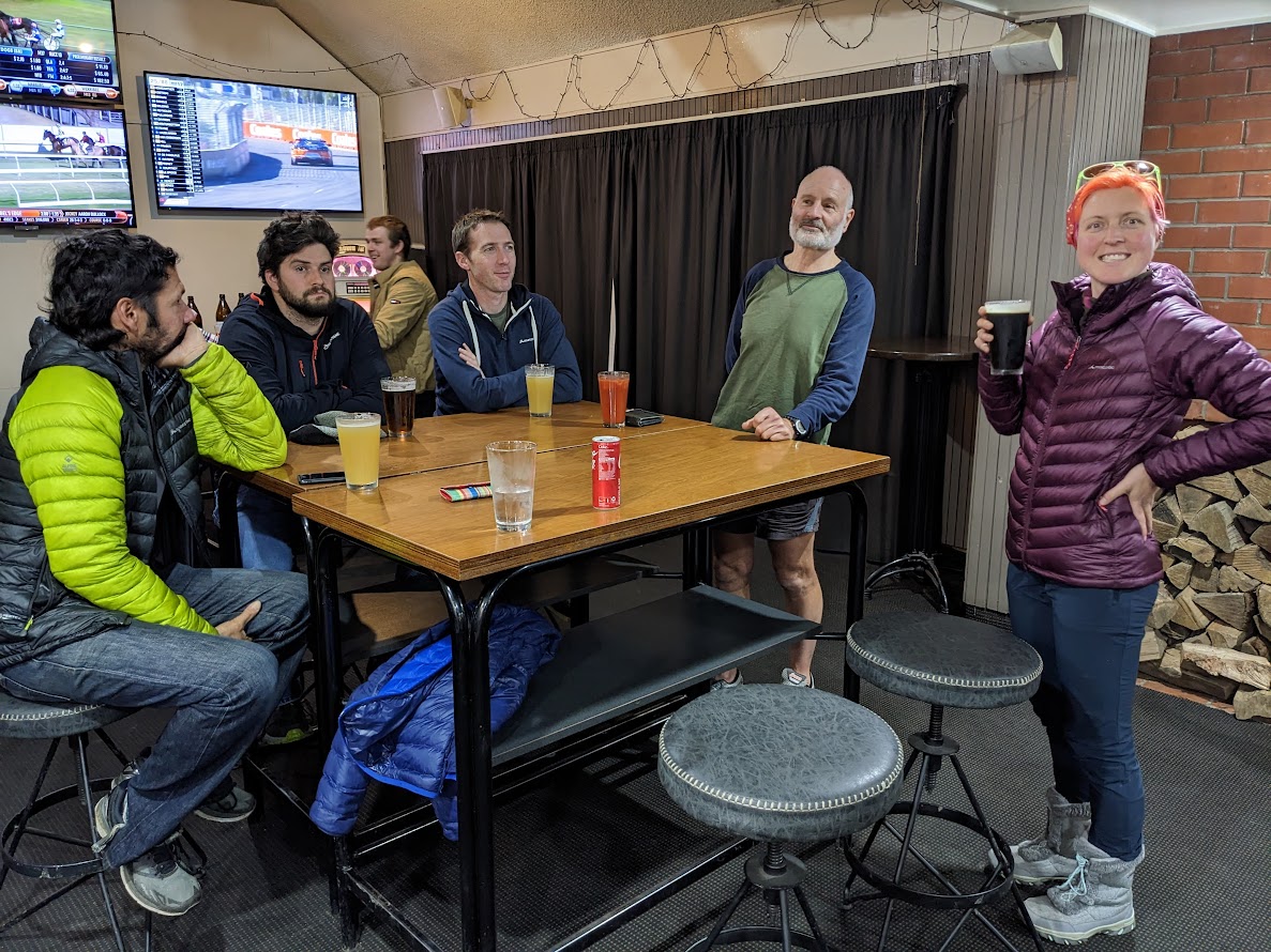
Participants: Michal Klajban (photos, scribe, GPX), Simon Barr, Marc Bietola, Geoffrey Cornelis (leader), Xiaoqiu Jiang, Michal Klajban, Emma Rogers, Alan Ross
Tramped on 9th July 2023.
Photos

Map
Max elevation: 2032 m
Min elevation: 882 m
Be the first to comment on "Mt Izard to Mt Cheesman winter trip"