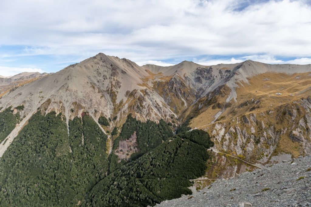
- Hamilton Peak is a lovely 1922m tall mountain in the Craigieburn area. Considering its height, the peak is quite easily accessible from various directions.
- This was the first CTC trip led by our young and enthusiastic new leader Daniel Gillies and also the first trip of Vicky Havill, an exceptionally fit trail runner from Oxford.
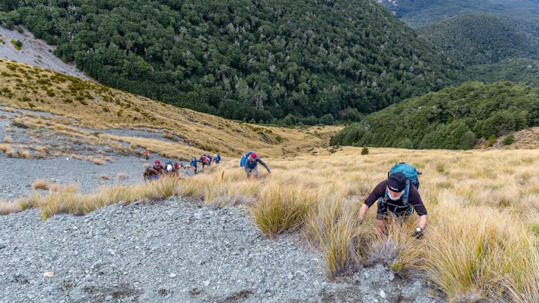
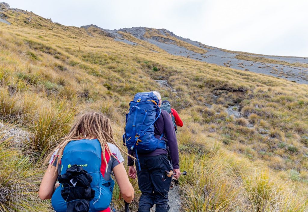
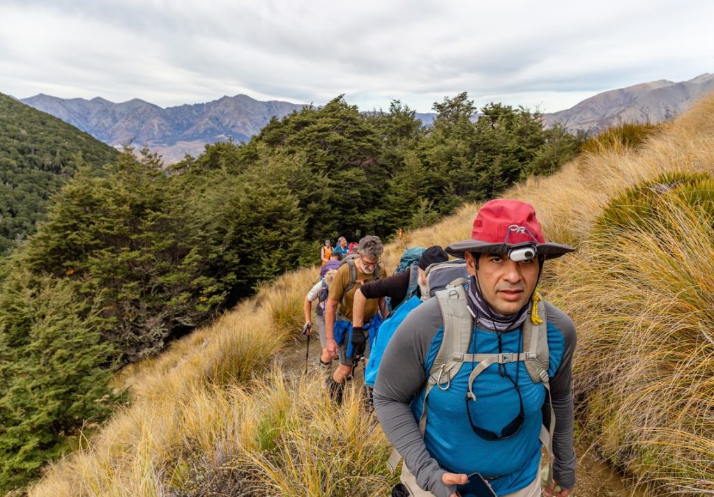
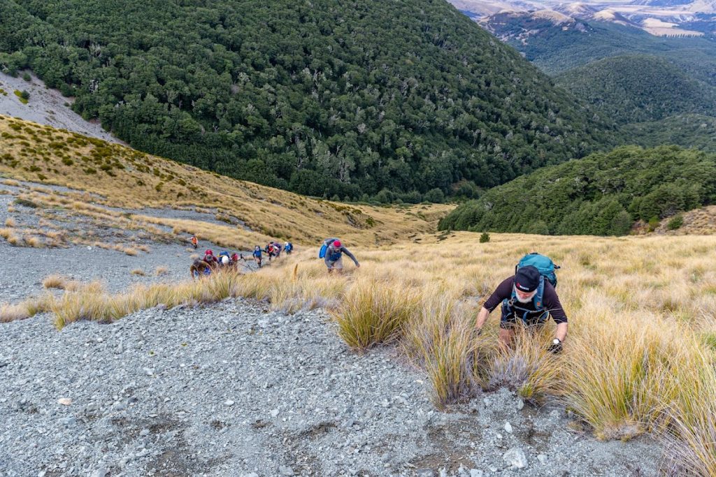
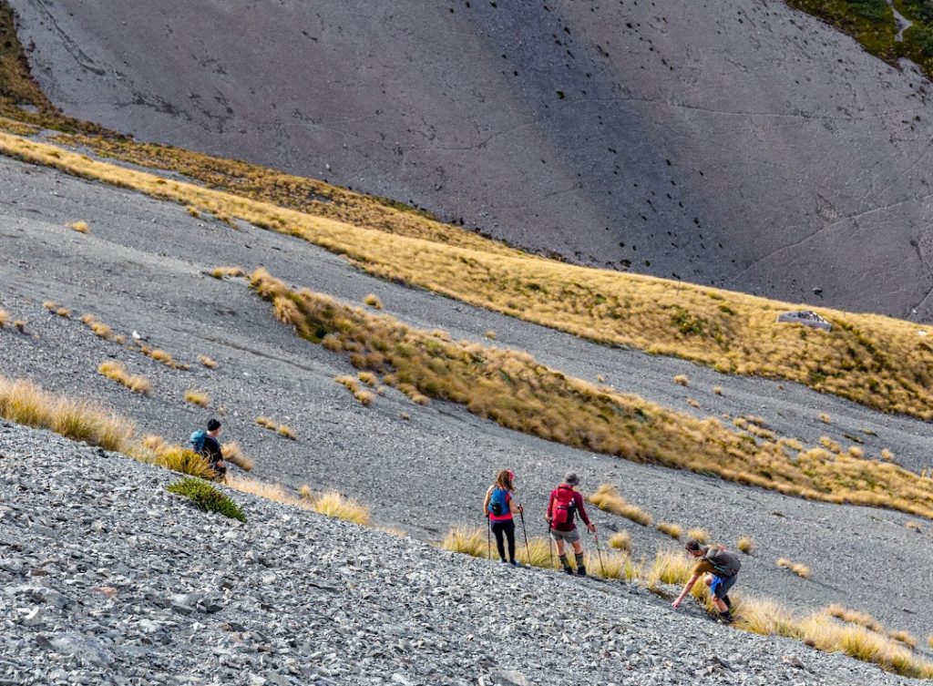
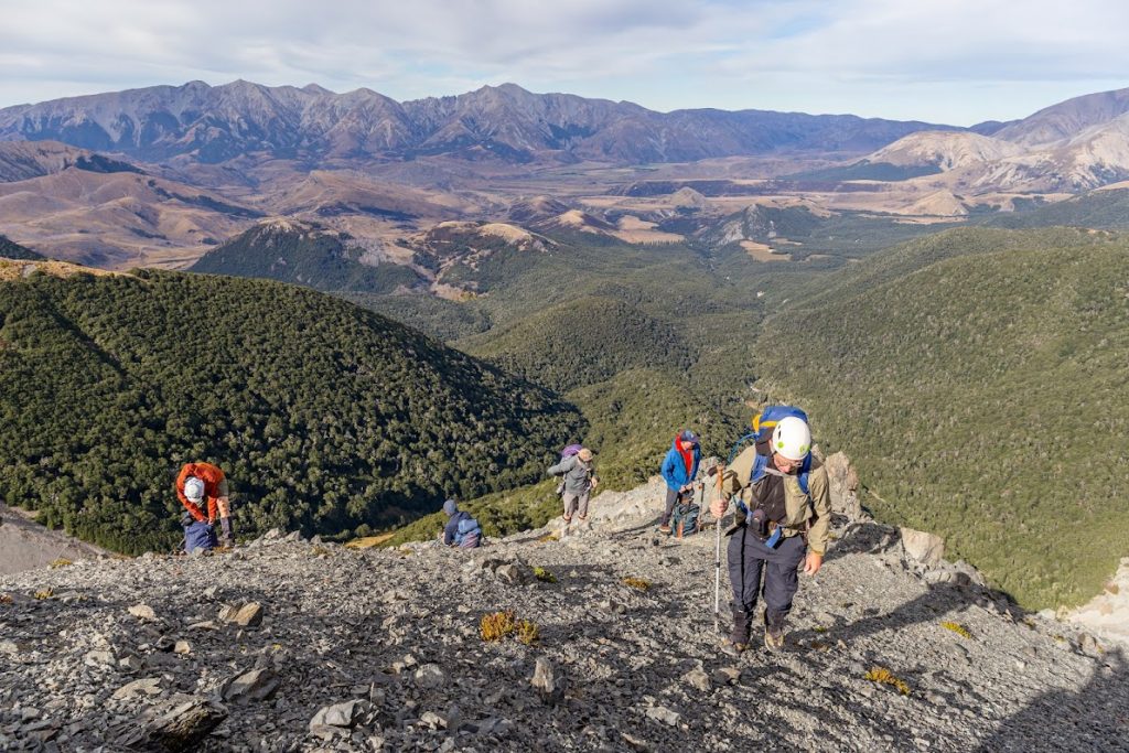
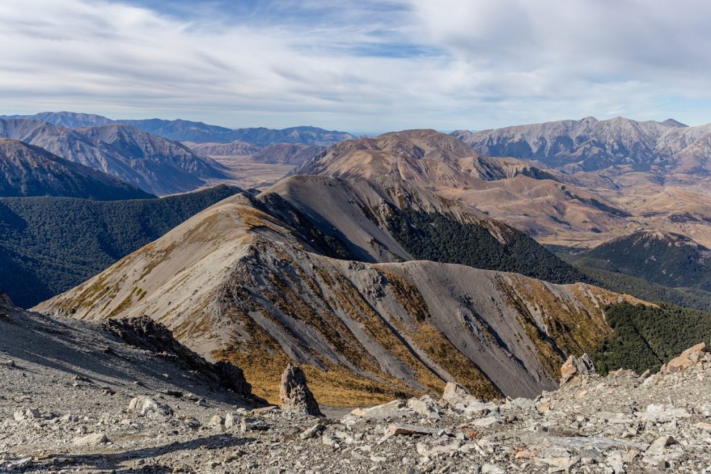
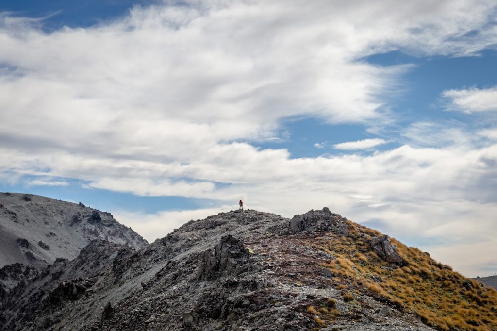
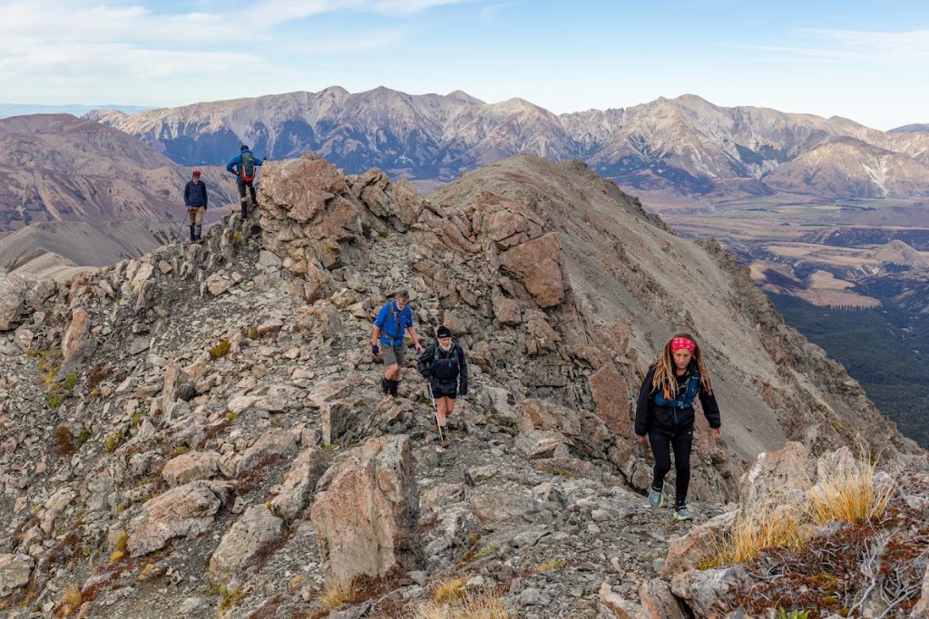
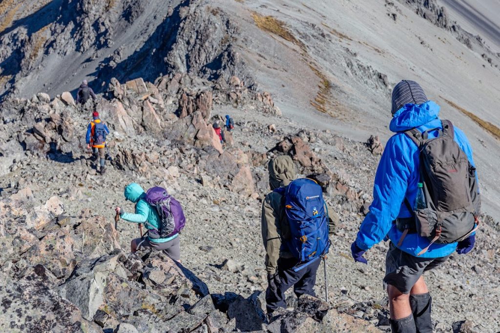
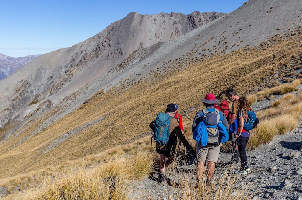
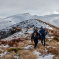
- We started off by a locked gate at Broken River access road from where we climbed up almost all the way to Camp Saddle. Our leader was considerate and suggested that we turn north-west a bit earlier than from Camp Saddle to avoid a scree where a lot of rocks like to roll down. I thought that it was quite a sensible suggestion. So we took this grassy steep slope to get on the ridge which we followed all the way to the top of Hamilton Peak. It’s quite easy, fun ridge travel.
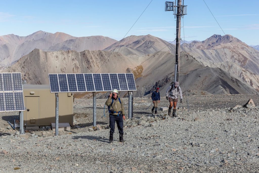
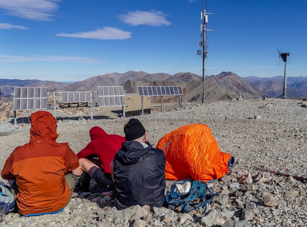
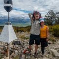
- At the top, lunches were eaten, a newly purchased bothy bag was showcased by Barney and a lot of photos were taken. Strong winds forced us to eat in a hurry and swiftly descend to the saddle between Hamilton Peak and Nervous Knob. From there, a vague path took us down to the road.
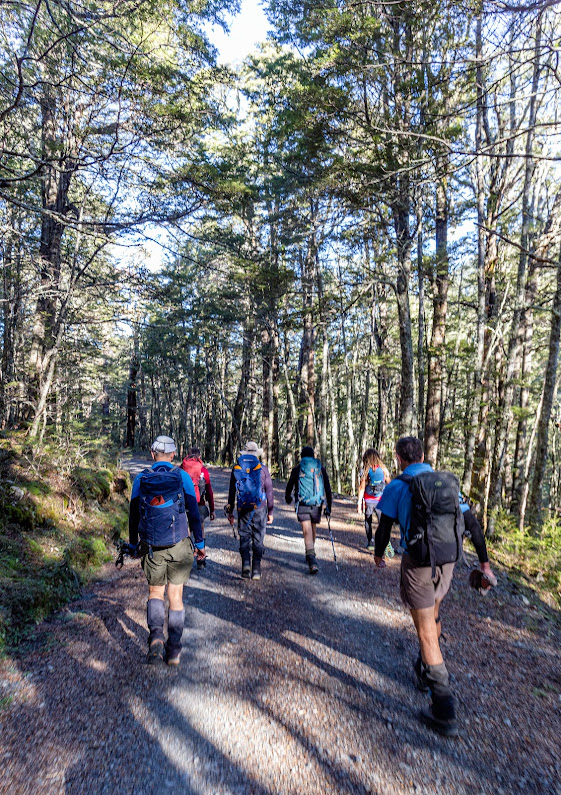
- The last leg consisted of a mixture of road and track travel as there were some well-maintained tracks between the road’s zig-zags.
- Very lovely day out, a wee bit windy but as my grandma says: “Thanks to the wind, we can hear the trees talk.”
Participants: Daniel Gillies (leader), Kaveh Mazloomi, Ian Wyllie, Chris McGimpsey, Rodney Erickson, Bernhard Parawa, Lorraine Poole, Warwick Dowling, Vicky Havill, Barney Stephenson, Michal Klajban (scribe, GPX, photos), Peter Umbers
Rough stats: 11 km, 1100 m up, 5:30 h
Tramped on 23th April 2022.
Photos
Map
Total distance: 11673 m
Max elevation: 1916 m
Min elevation: 912 m
Download file: GPX-hikingisgood-com-nz-2022-Hamilton-Peak.gpx
Max elevation: 1916 m
Min elevation: 912 m


Be the first to comment on "Hamilton Peak via Camp Saddle"