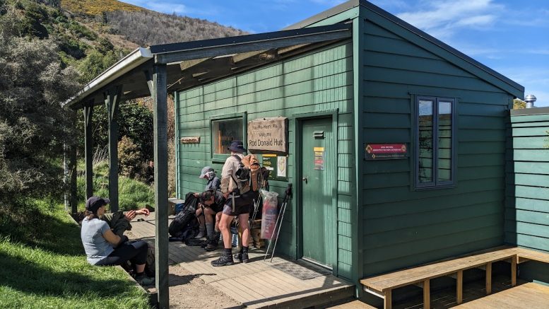
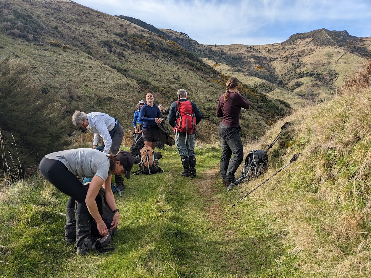
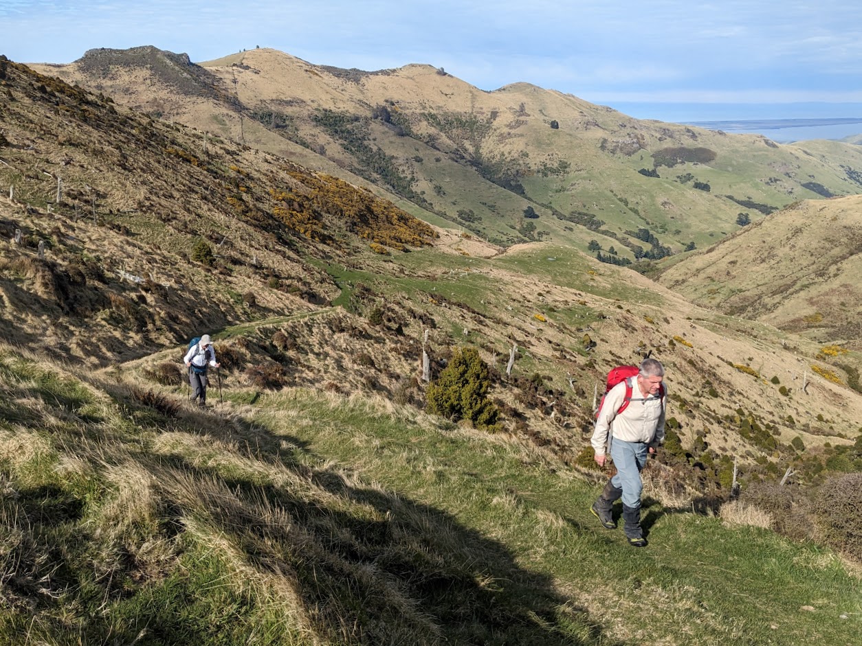
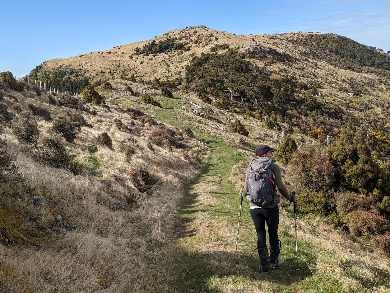
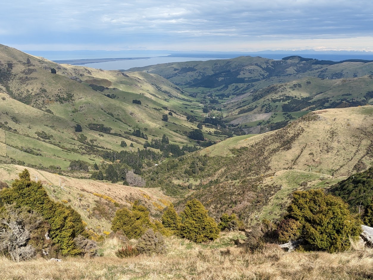
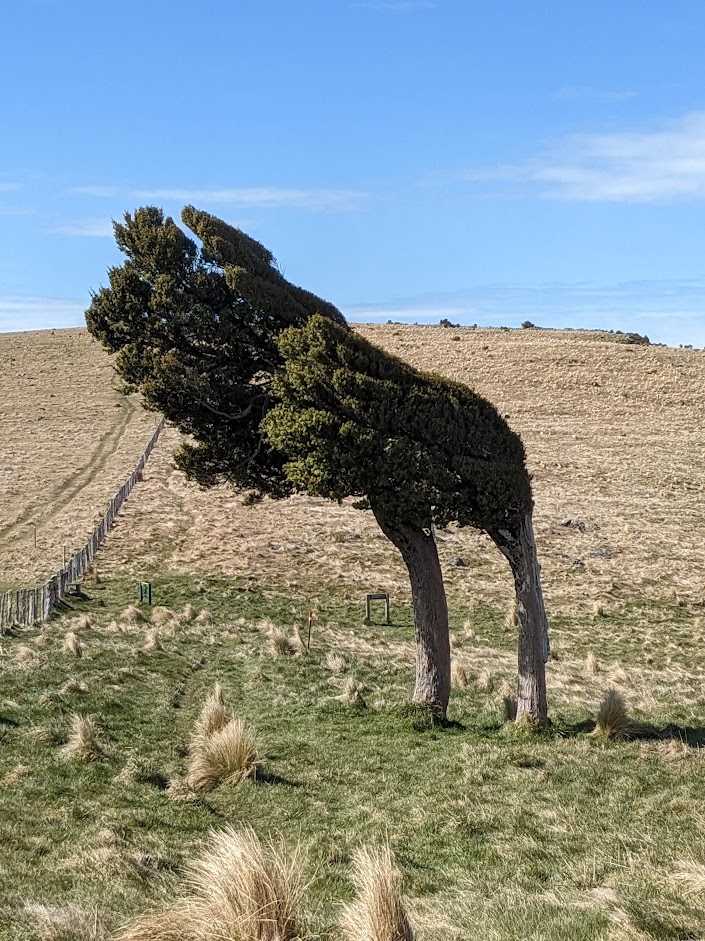
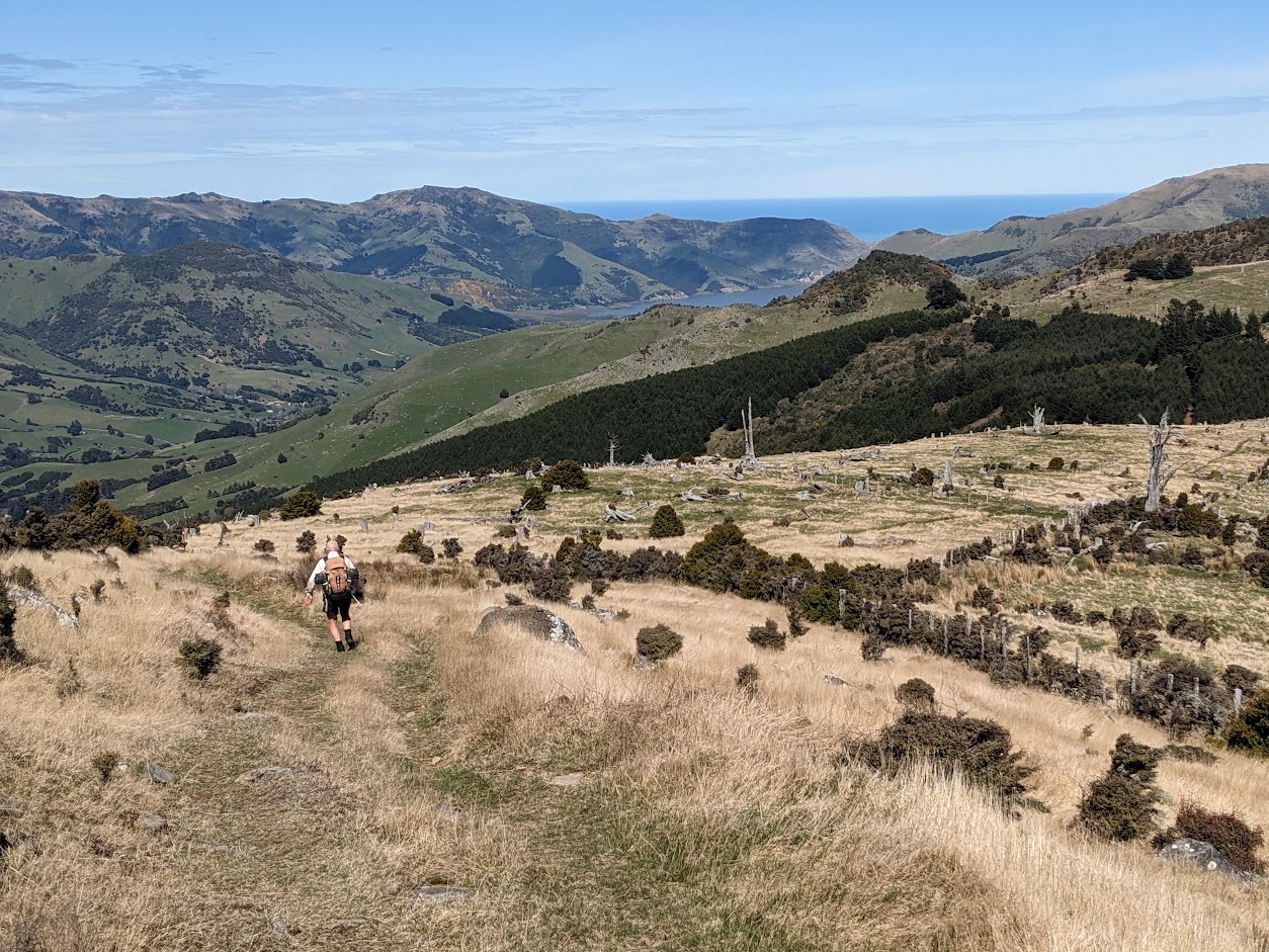
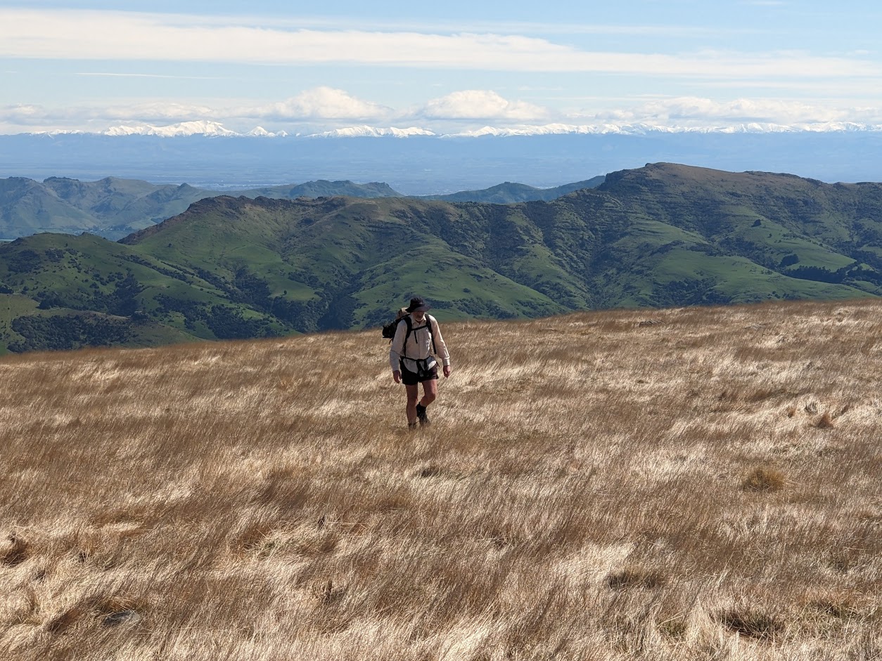
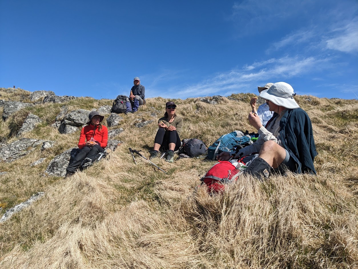
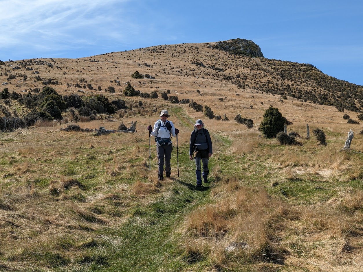
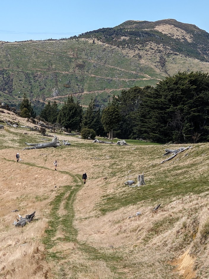
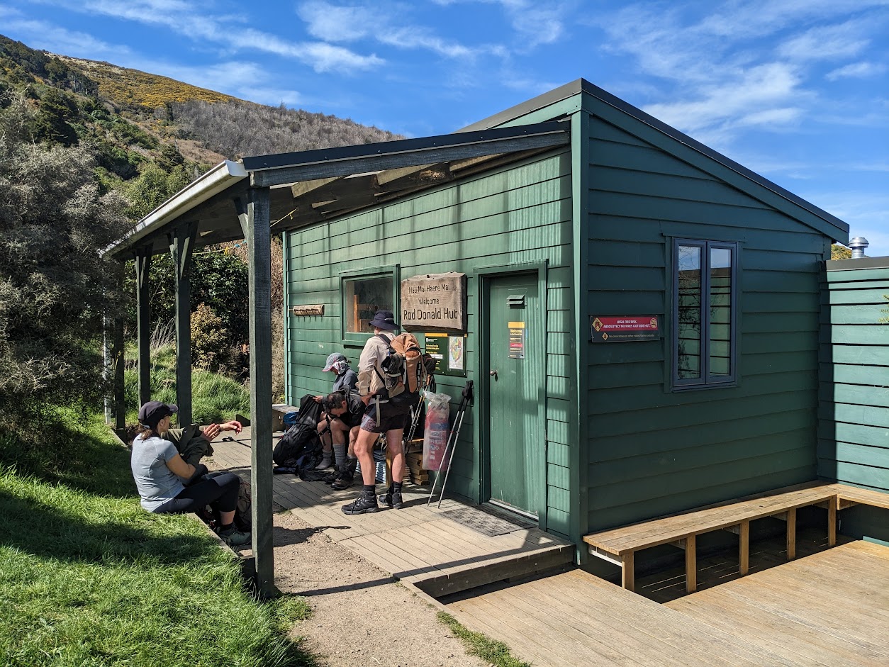
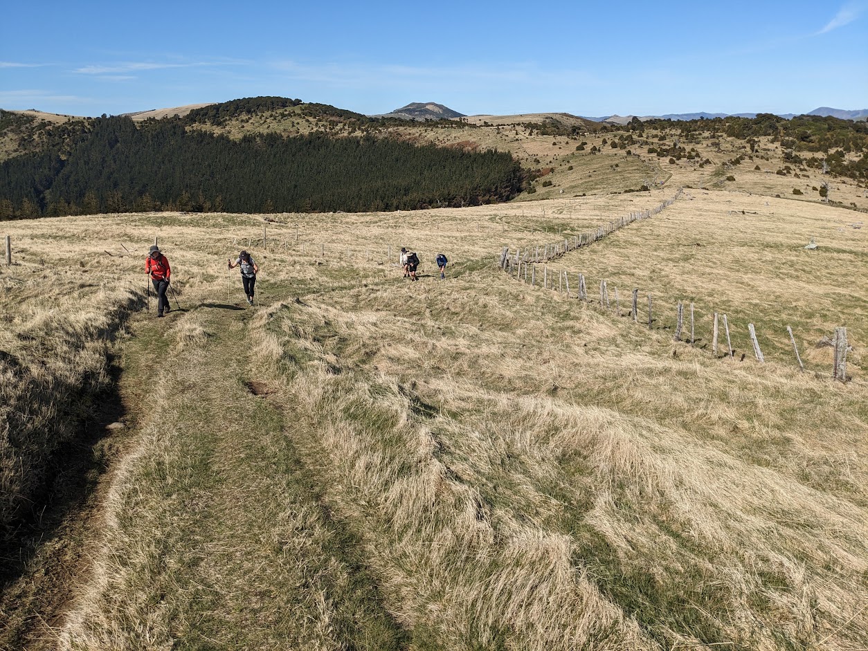
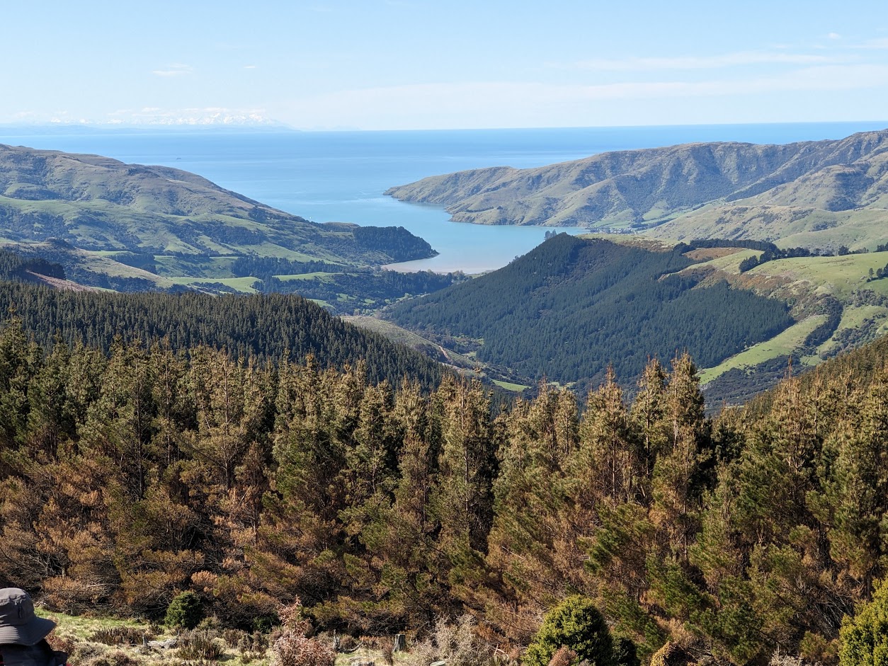
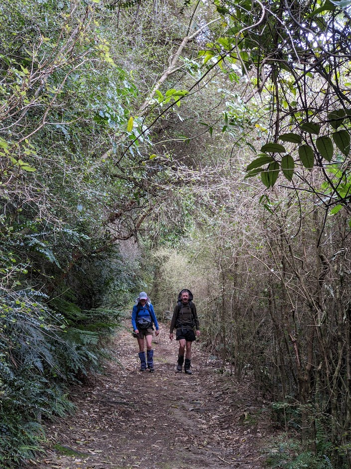
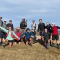
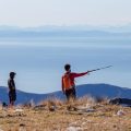
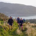
Starting off from the Kaituna Valley Rd carpark, we swiftly began heading up along the Monument Track. I really enjoy this part of the Port Hills; it feels remote, the ascent is gradual, and the views of the local hills are fantastic. When we reached Te Ara Pātaka, we continued towards Waipuna Saddle and further to Mt. Fitzgerald. Along the way, we ran into Chris M., who happened to be running in the area. At the summit, we stopped for a good lunch break and then headed back the same way. On the way back, most of us descended to Rod Donald Hut, which looks very well-maintained. Among other things, we were impressed with their fire safety systems, which even included a water hose near the main entrance.
It was a pretty chilled trip, however, we still managed to get a decent distance in our legs.
Stats: 24 km, 7h 30min, 1210 m ascent
Participants: Michal Klajban (leader, scribe, GPX), Alan Ross, Leendert Van Ginkel, Leda Van Ginkel, Lynette Hartley, Jeff Hall, Mia Valomy, Fiona Vetcher
Photos
Map
Max elevation: 832 m
Min elevation: 218 m

Be the first to comment on "Mt Fitzgerald on Banks Peninsula"