I really wanted to make the best out of the favorable forecast. It was supposed to be 18 degrees in Christchurch! So, I planned a trip up to Mt Bradley via the Eye of the Needle. We were quite lucky that Honora and Frank had gone there just a couple of days back to cut and briefly mark the track to the Eye of the Needle and along the top plateau.
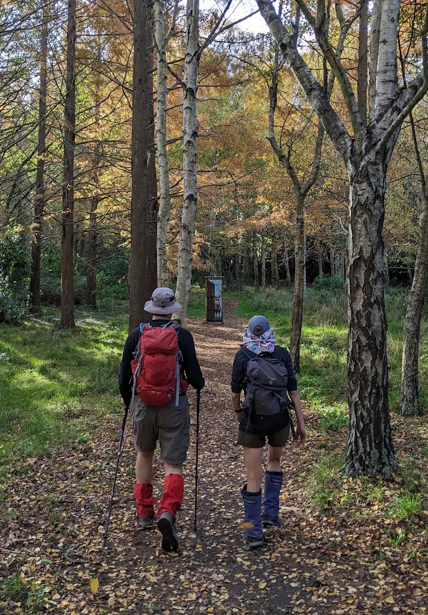
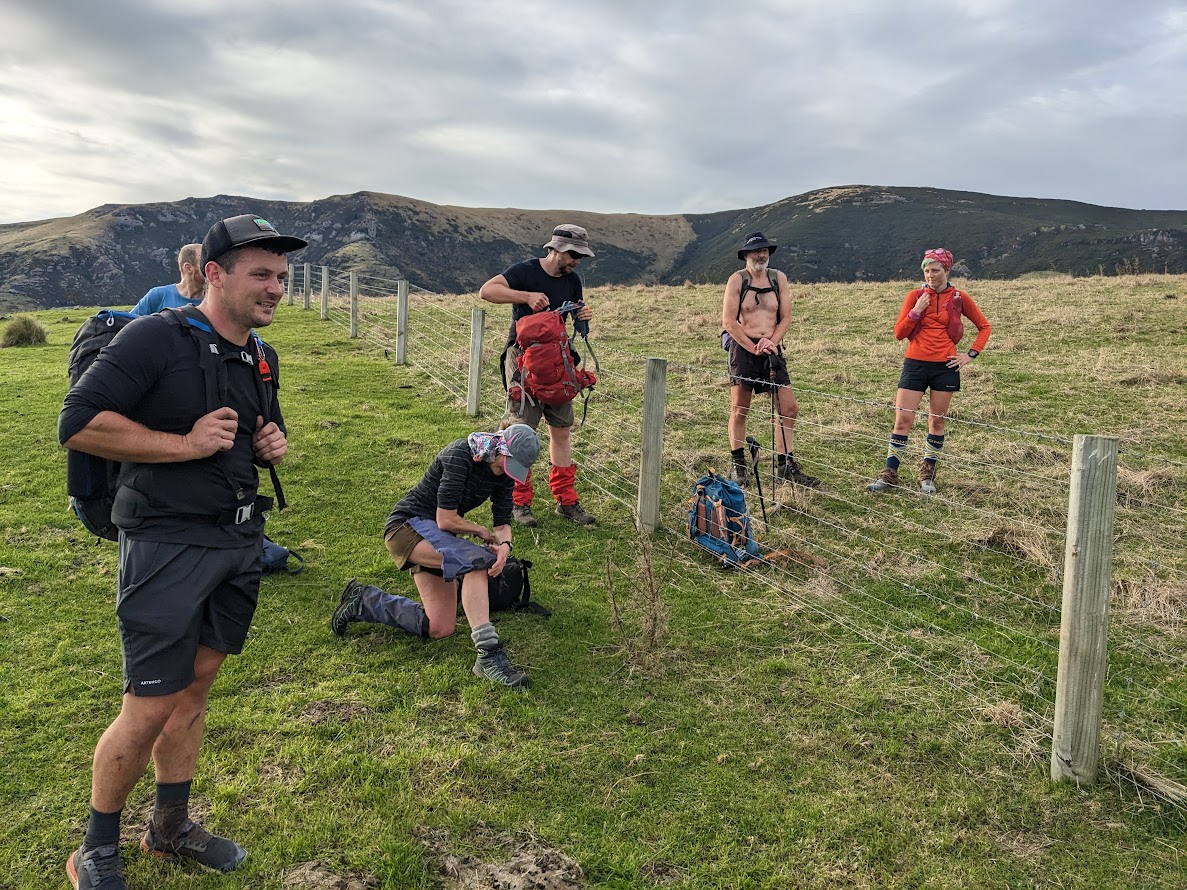
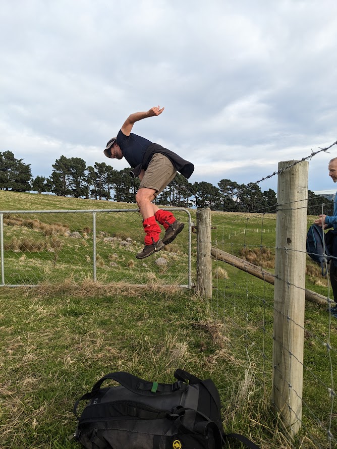
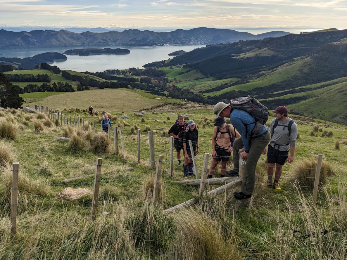
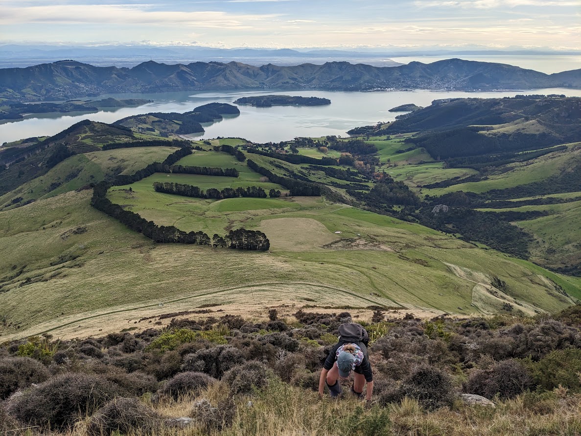
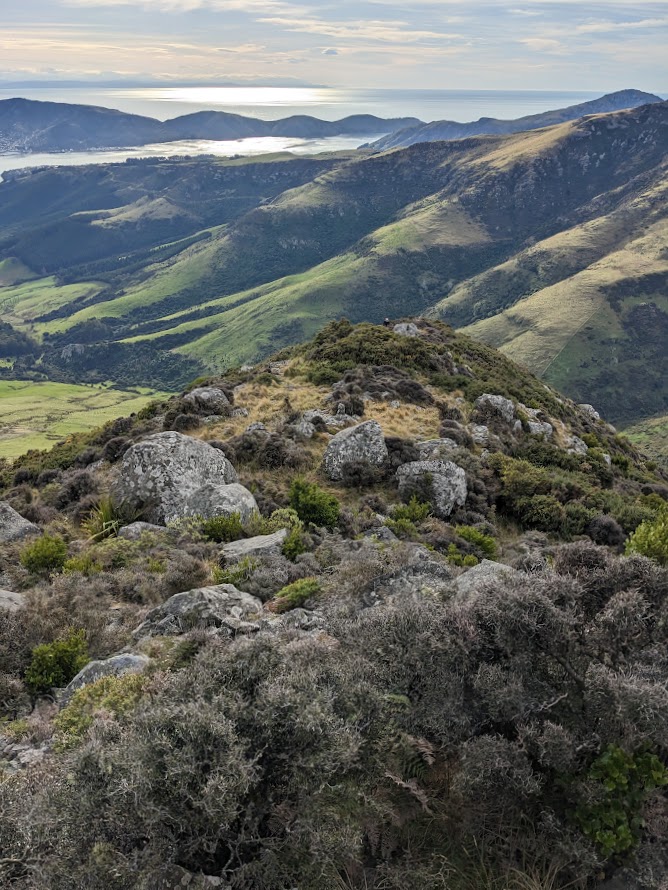
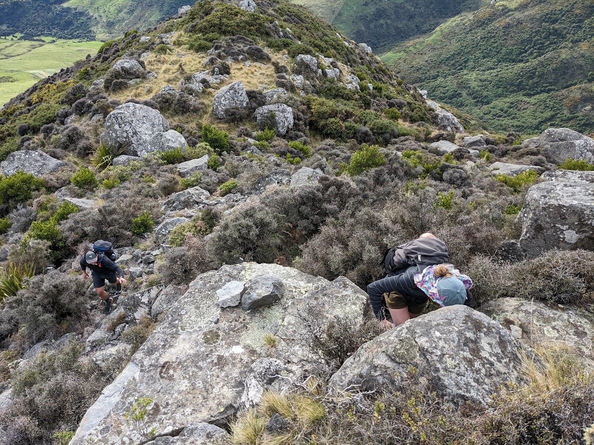
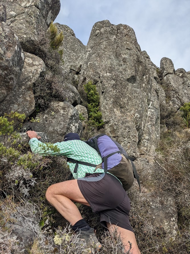
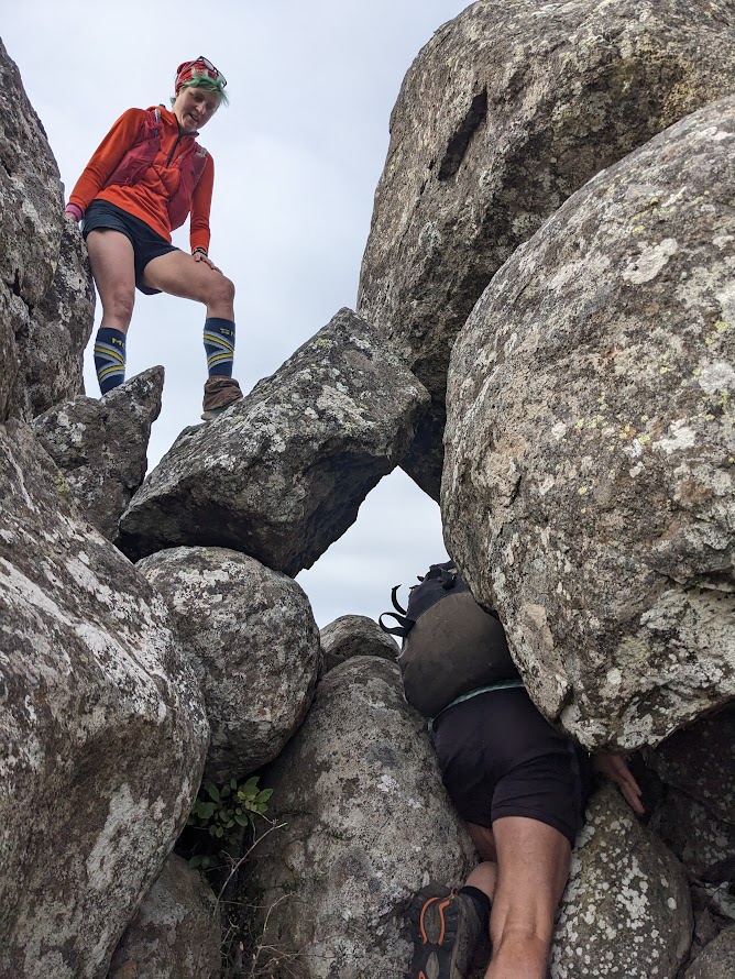
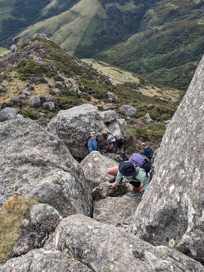
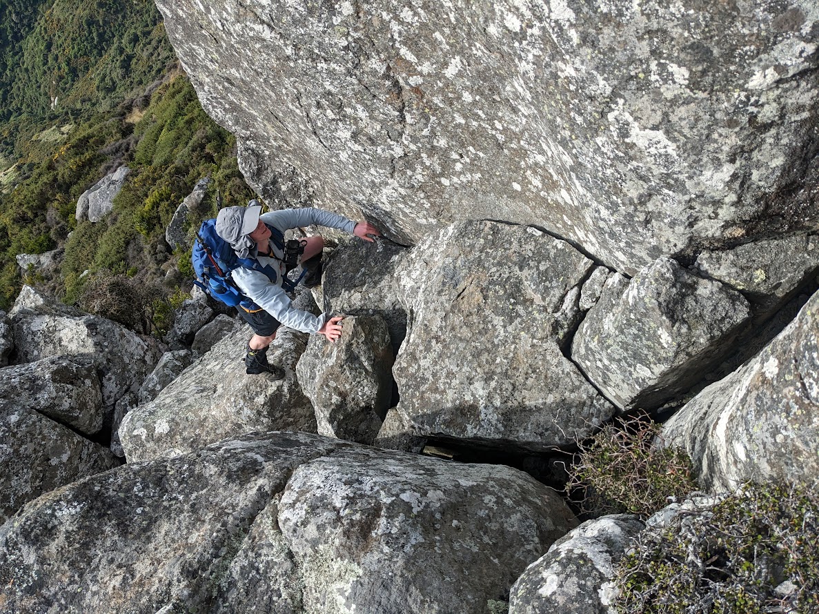
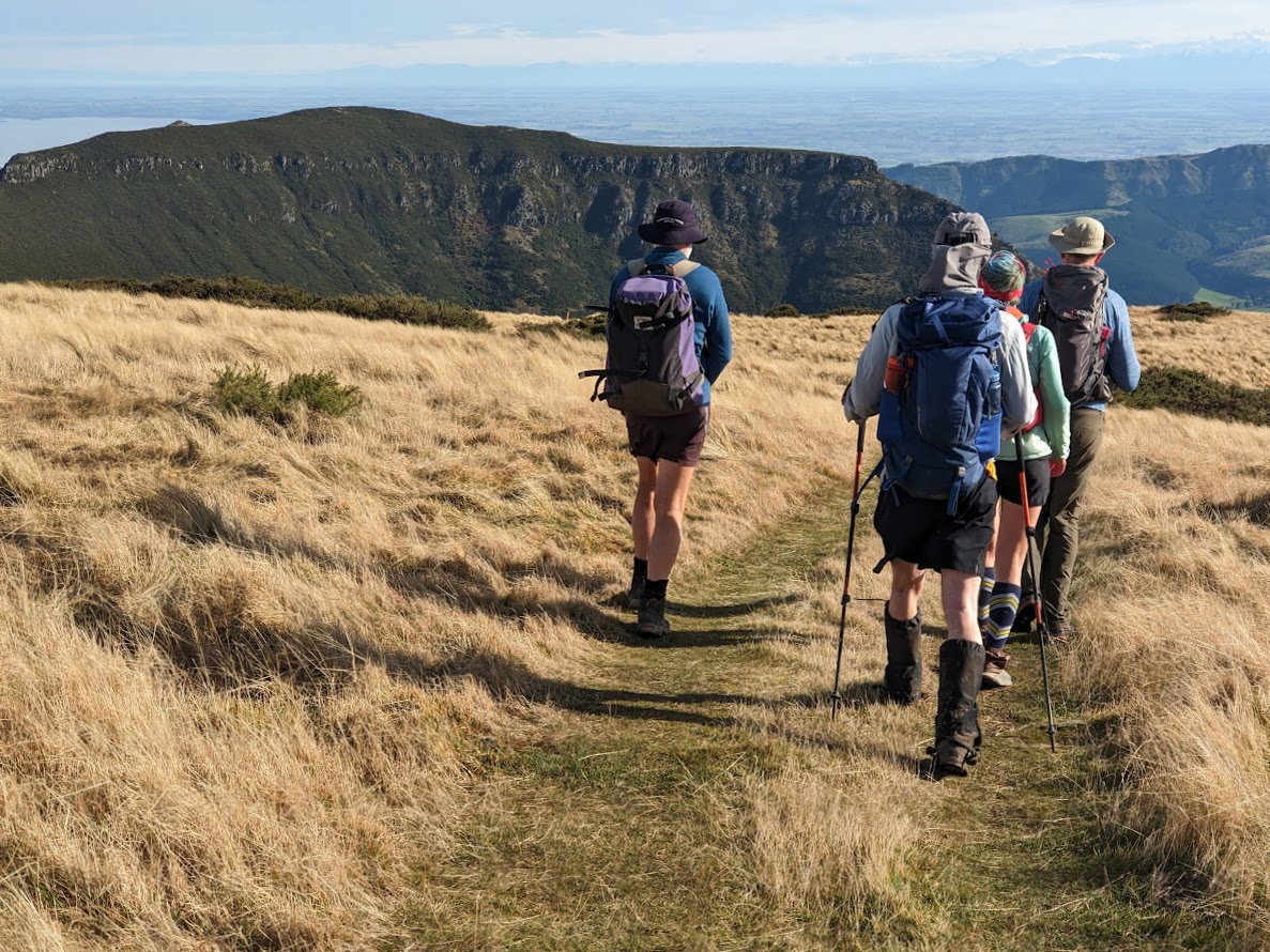
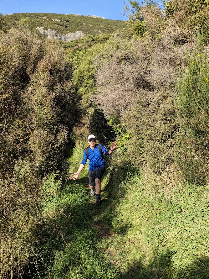
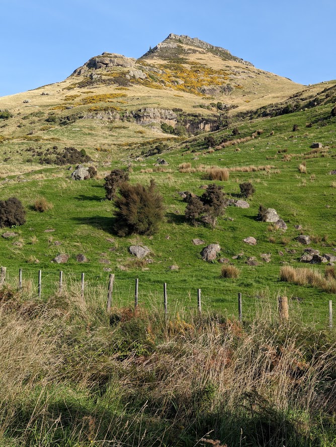
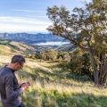
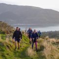
We started at the Orton Bradley carpark. CTC rarely runs trips there, but it’s such a pleasant and beautiful area! We set off towards Packhorse Hut. Zack’s weightlifting exercises paid off because it was close to impossible to keep up with him. Our good pace was interrupted by a decent break when Rachel strained her muscle. Mark kindly offered to stay with her and go back to the carpark while the rest of us continued towards Mt Bradley. The track to the Eye of the Needle starts at the bottom of a long straight farm fence, heading towards the top of Mt Bradley. The fence can be seen all the way from the eucalyptus forest edge. It’s better to stay on the right side of the fence and head straight up. Once the fence stops, there is a wee scramble, on top of which there are a few rocks stacked on each other, forming an opening. We went through and scrambled up to the cliff edge. Once on the cliff edge, it’s just a flat walk through a vague track between gorse bushes. I found the scramble very fun but it is a wee bit exposed for an ordinary walker.
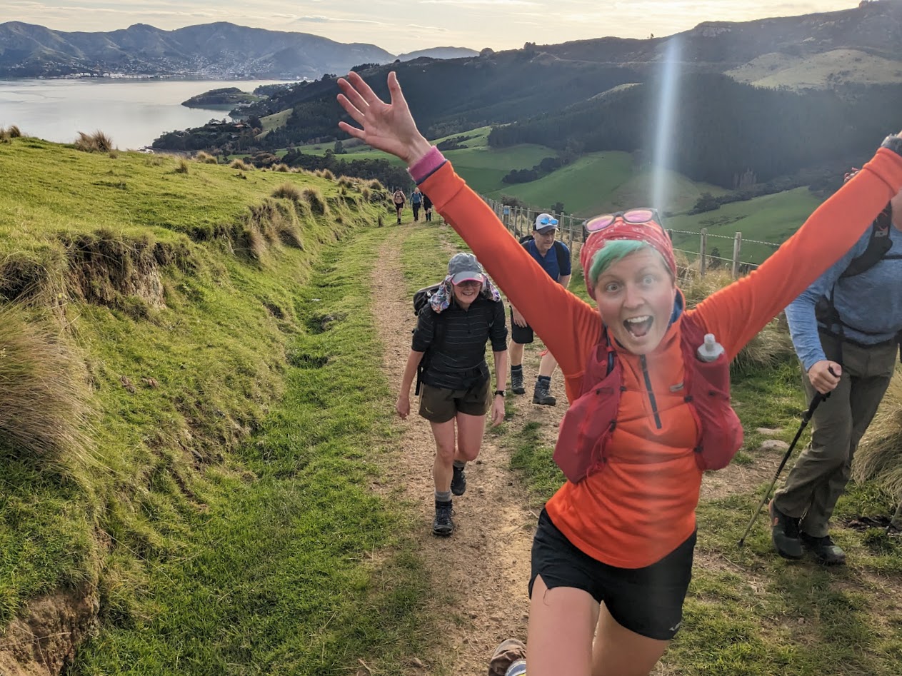
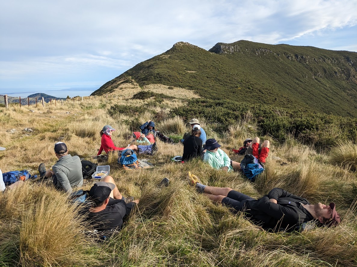
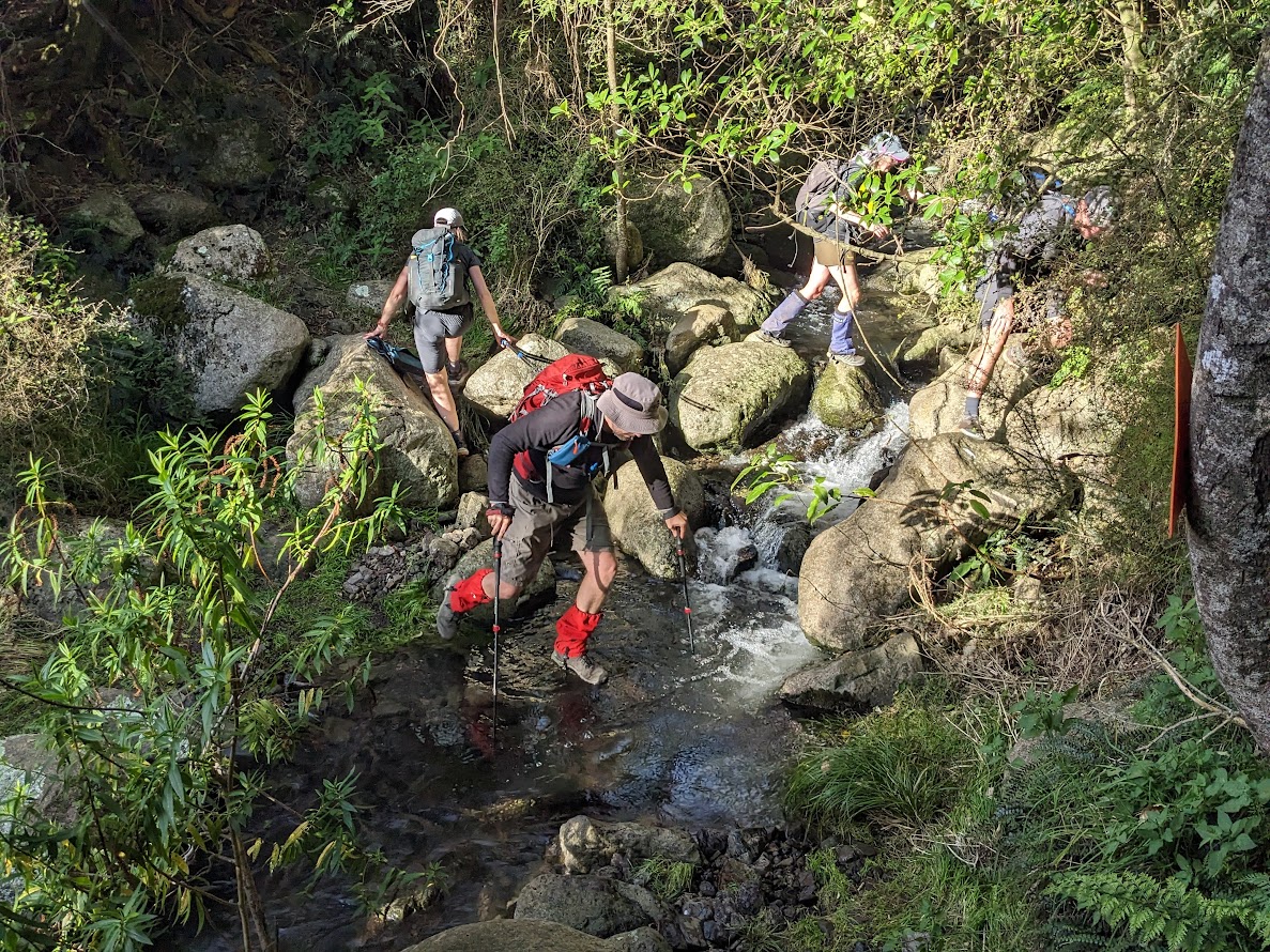
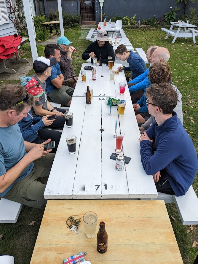
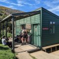
We continued further, and not too far from Herbert shelter, on a sunny spot, we met up with Mark, who climbed up via the valley to join us after walking Rachel back. After lunch, we summited Mt Herbert and followed the Mt Herbert Walkway back down to the Orton Bradley carpark. On the way back, we stopped at the Ōtoromiro Hotel in Governors Bay. Very good pub to stop – reasonably priced and we didn’t have to wait long for food.
It was a very sunny and pleasant trip. Thanks again to Mark for his kind offer to accompany Rachel.
Stats: 19 km, 5 h 55 min, 1100 m ascent
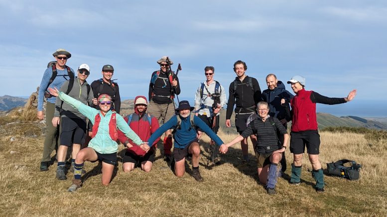
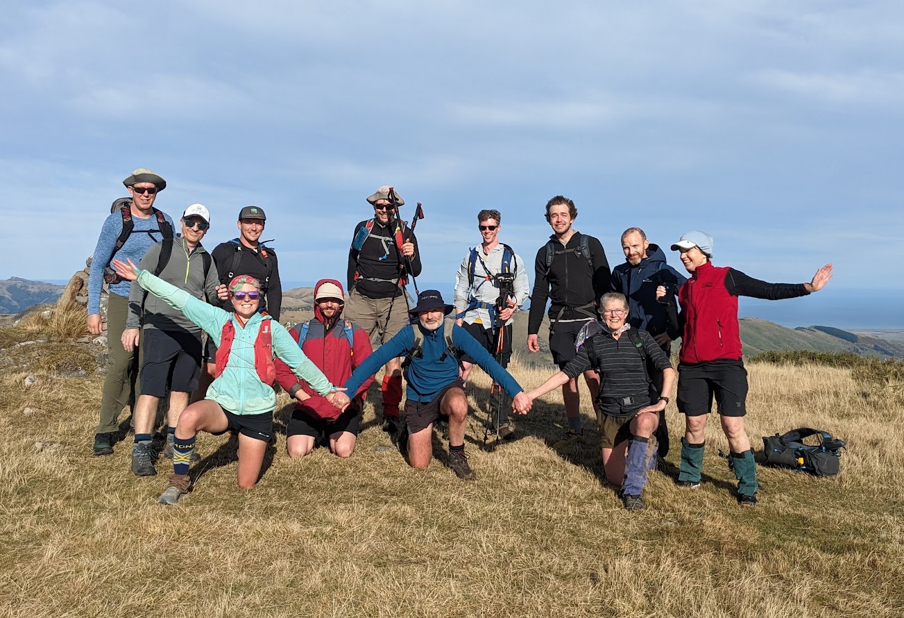
Participants: Michal Klajban (leader, scribe, GPX), Zack Williams, Sam Meeks, Benjamin Still, Emma Rogers, Mark Nicholls, Rachel Hunt, Alan Ross, Lynette Hartley, Kate Taylor, Falk Werner, William Sturch, Paul
Tramped on 28th May 2023.
Photos

Map
Max elevation: 928 m
Min elevation: 29 m
Be the first to comment on "Mt Bradley via the Eye of the Needle + Mt Herbert"