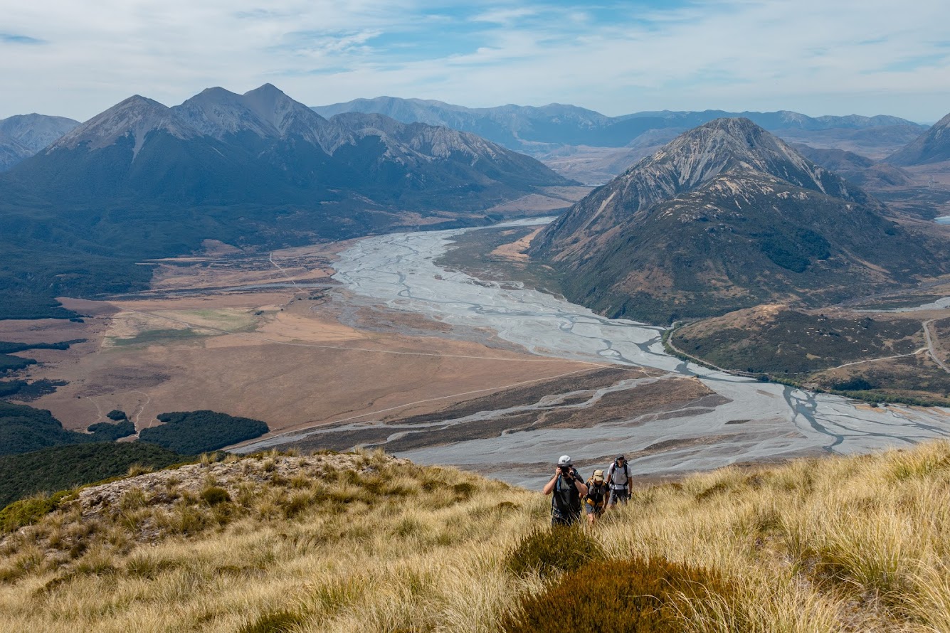
- 3 CTC souls and 1 aspiring CTC soul gathered at Hawdon shelter with the goal of tackling Mt Foweraker via a long spur on its eastern side.
- Finding the entry point of the trap line that goes on the spur pt1035 was quite straightforward – Marc was there just a few weeks back and marked the spot on his map so that helped. The entry point has 2 yellow triangles on a tree and it’s well visible from the TR of Sudden Valley Stream.
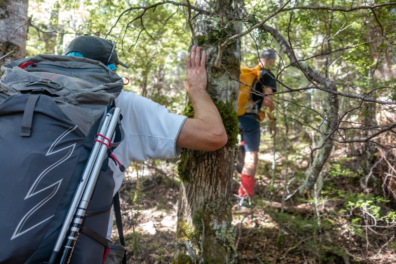
- The trapline is a little bit tricky to follow. It’s quite vague at parts and it actually forks – you want to go up when it does. We followed the trap line by sliding to our right and it either ends or goes somewhere down towards a stream. We sorted the situation by bush bashing straight up. Not very efficient but not too bad, the forest is quite open. 5/10 bushbash.
- In case you’ll follow my GPX file, use it only for finding the entry point and for the first cca 100 vertical metres, then activate your route finding skills to follow the trap line up rather than to your right. From the ridge further it’s good.
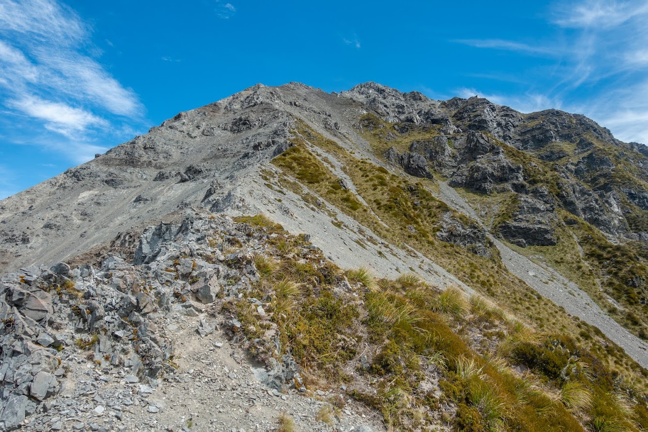
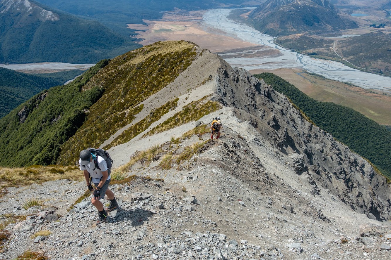
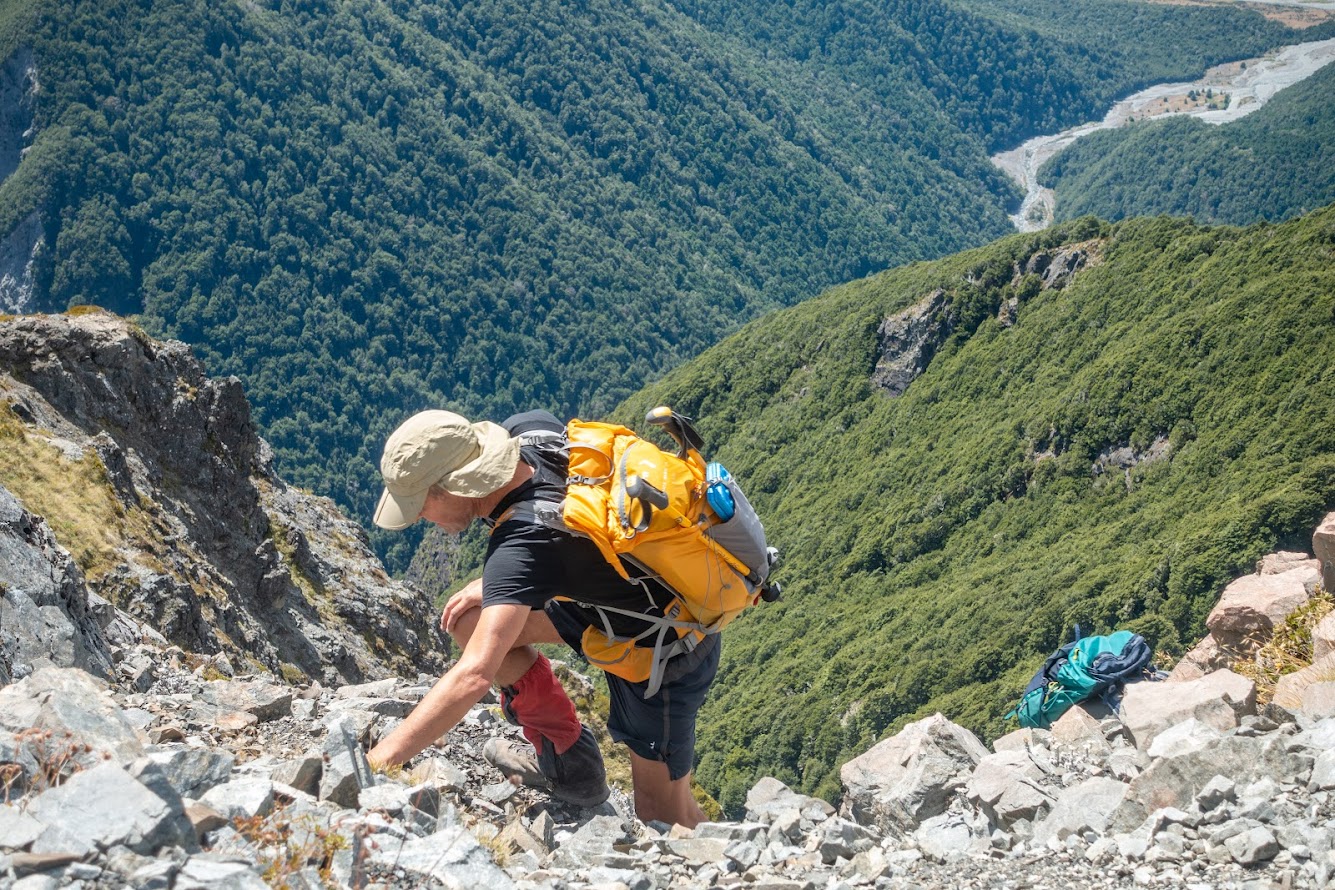
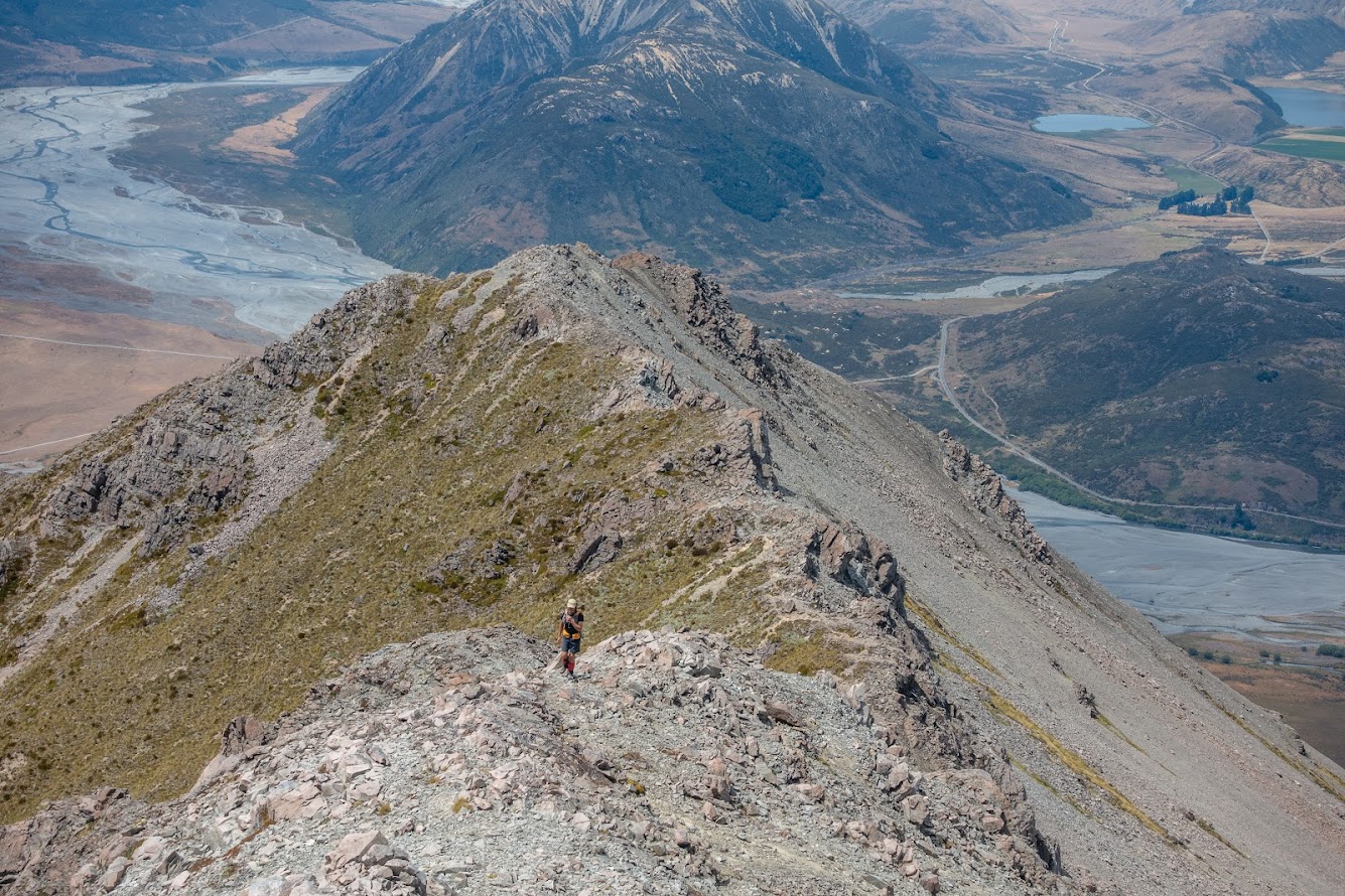
- At pt1158 the trapline ends but the track keeps climbing to the bushline. Above the bushline there are some scrambly sections to get across. Nothing terribly exposed though.
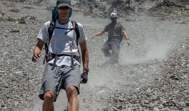
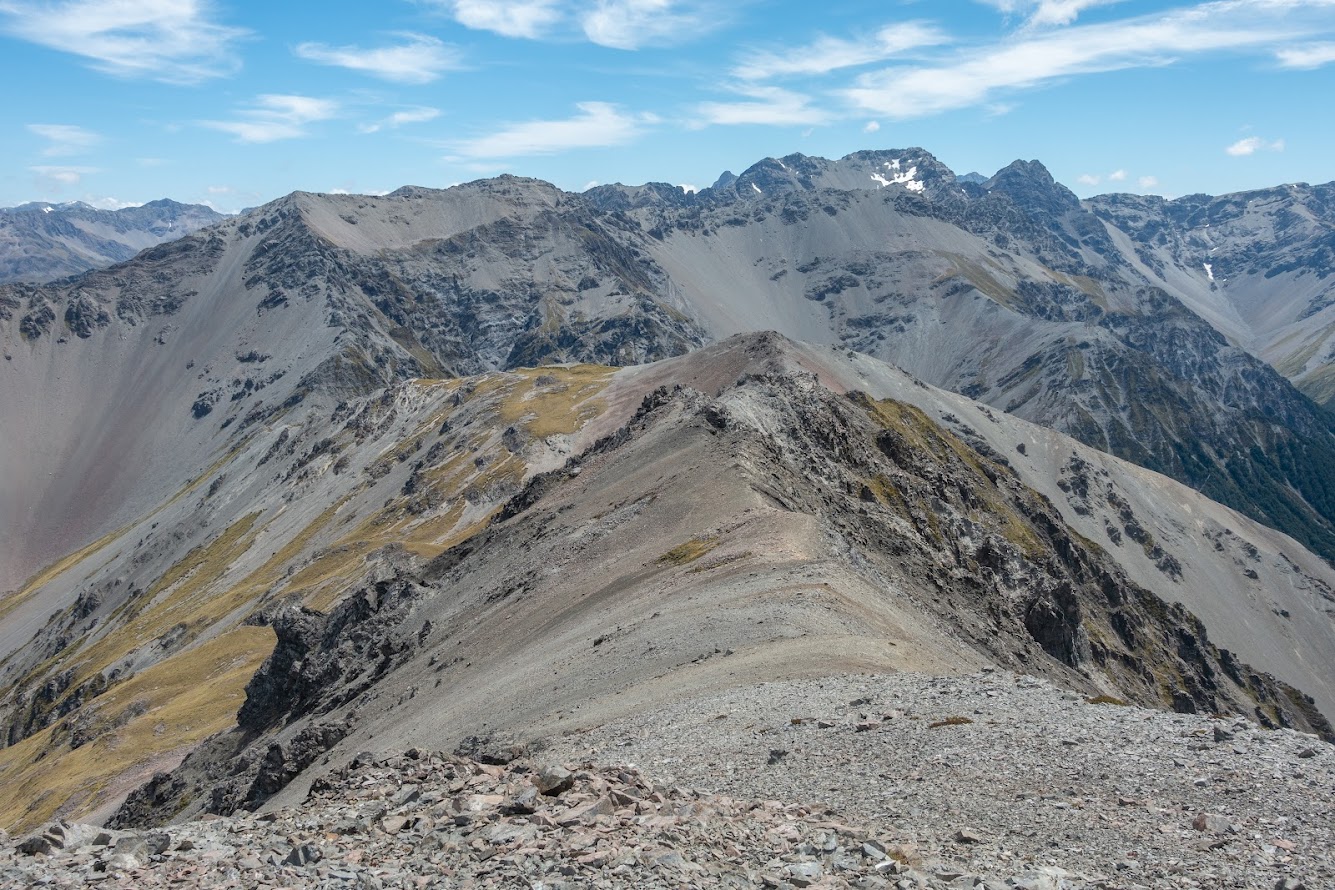
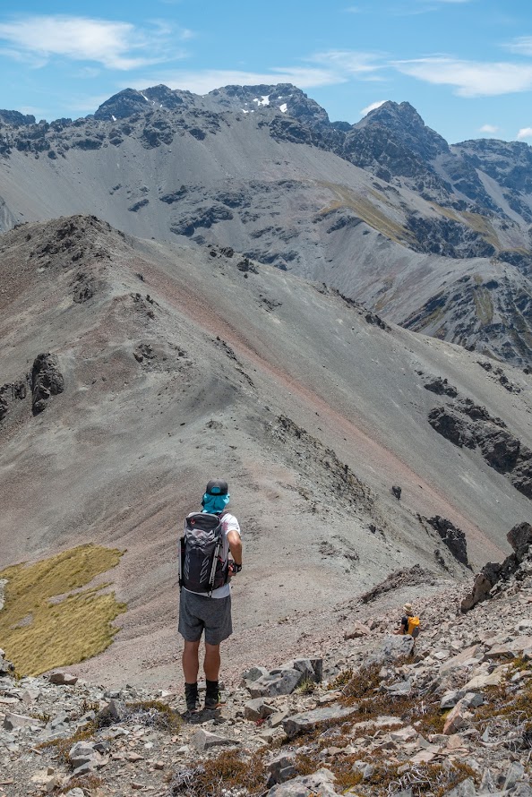
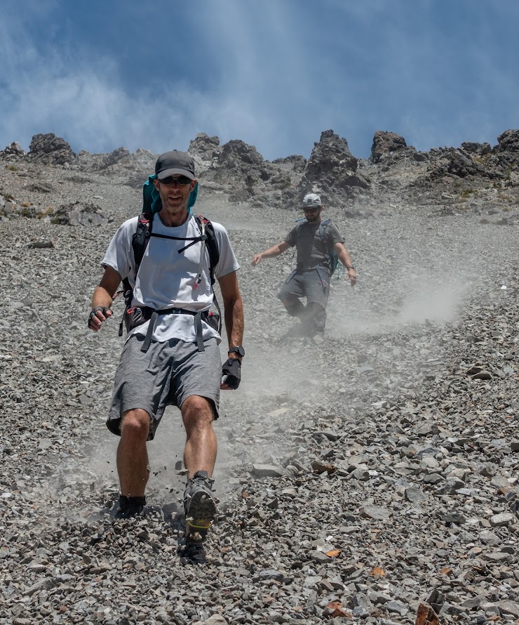
- We took a decent lunch break at the top and kept going towards pt1711. From there we continued straight north. There is an amazing scree run all the way to a creek below 1200 m contour. It’s over 500m of enjoyable scree, 9/10 quality.
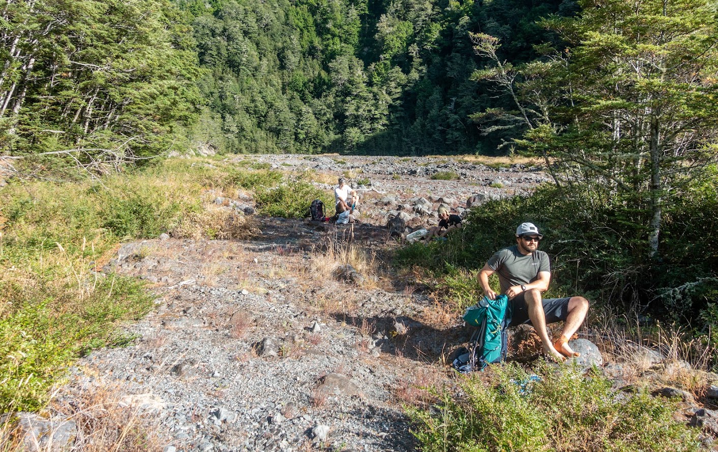
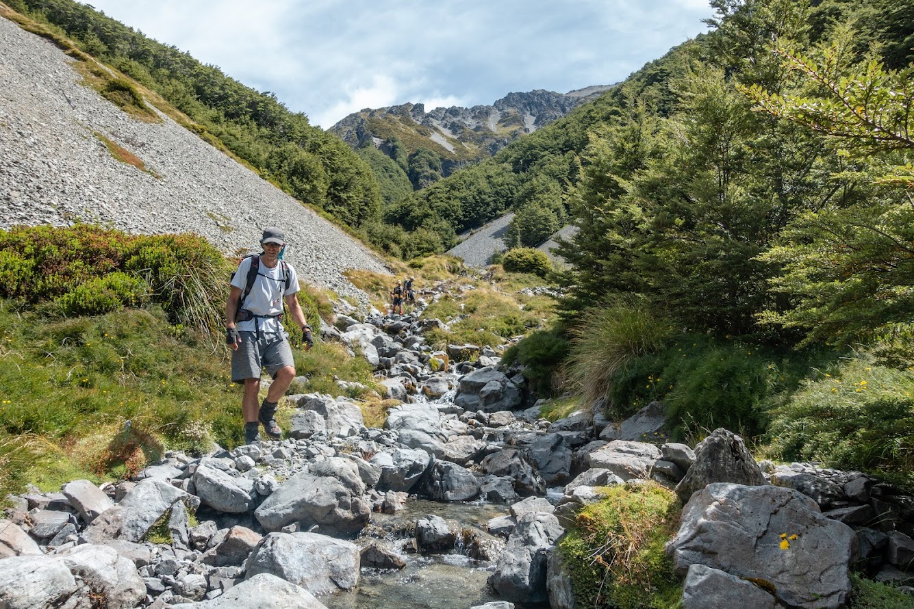
- There is no track along the stream but the route is easy to follow – we found staying in the stream easier than trying to bash along grassy edges with hidden boulders
- We did pay a visit to Sudden Valley Biv which is possibly my favourite bivs around Christchurch.
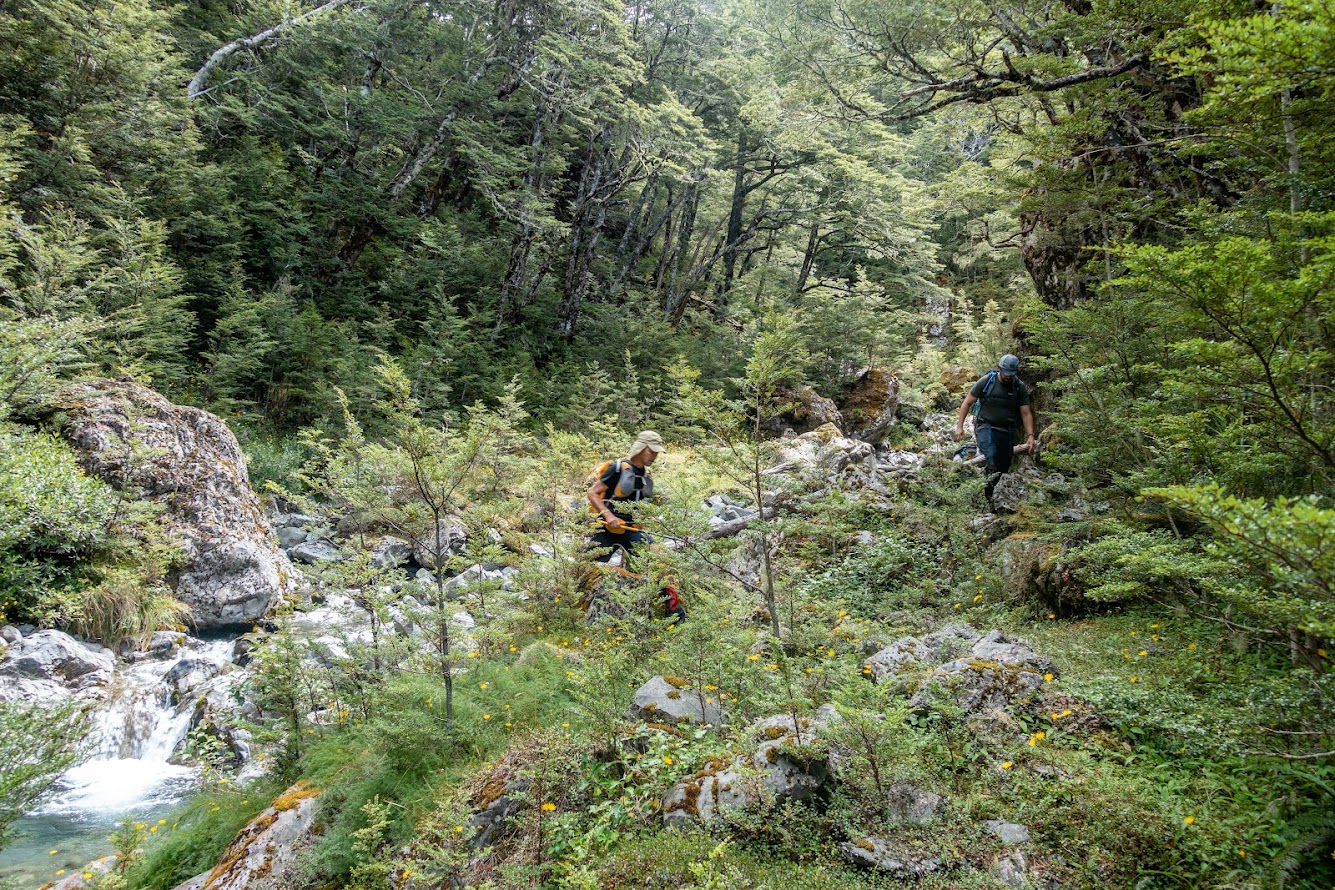
- We came out via Sudden Valley where is a well marked but rough track.
Rough stats: 17 km horizontal, 1300m vertical, 9.5 hours
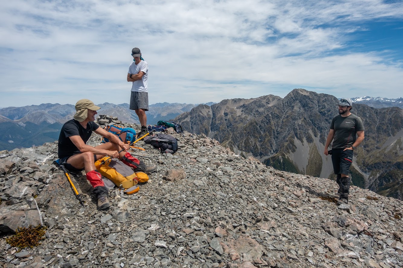
Participants: Michal Klajban (leader, scribe, photos, GPX), Chris Walker, Marc Bietola, Chris McHarg
Some photos


Map
Total distance: 17565 m
Max elevation: 1801 m
Min elevation: 560 m
Download file: GPX-hikingisgood-com-nz-2022-Mt-Fowearker.gpx
Max elevation: 1801 m
Min elevation: 560 m


Be the first to comment on "Mt Foweraker from Hawdon Shelter"