- Kupkin and I started this pre-Christmasy adventure in the CTC hut. Kupkin was impressed what a lodge the CTC owns and I truly did feel proud to be a member of a club with such a long history, nice people and a lodge.
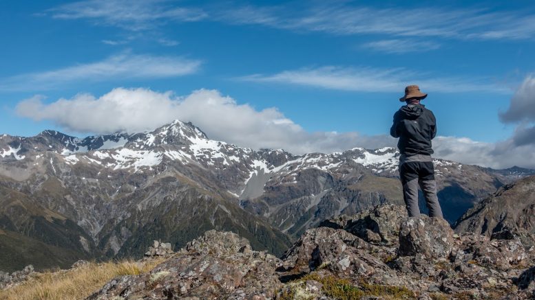
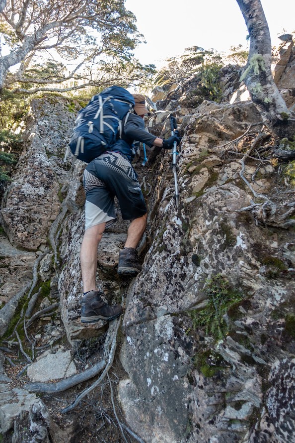
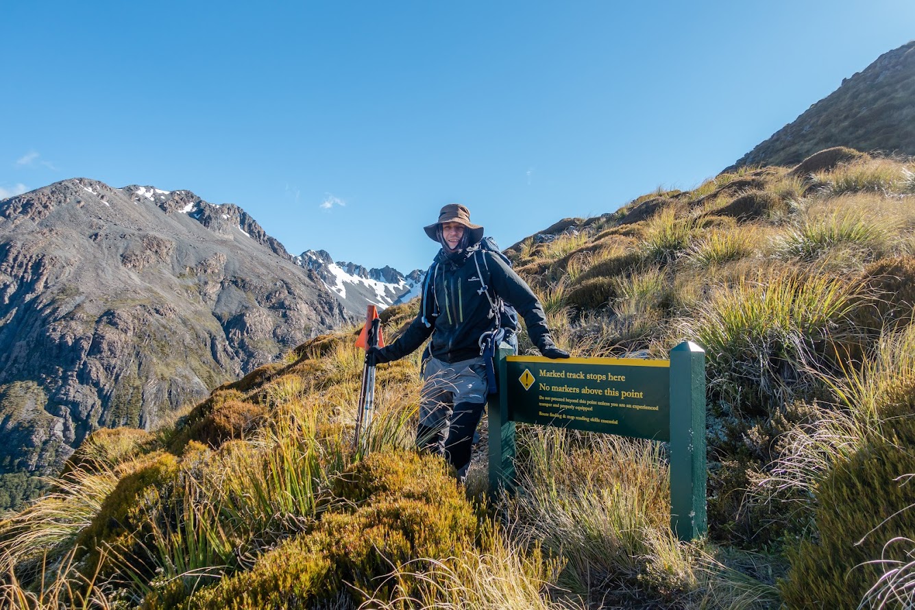
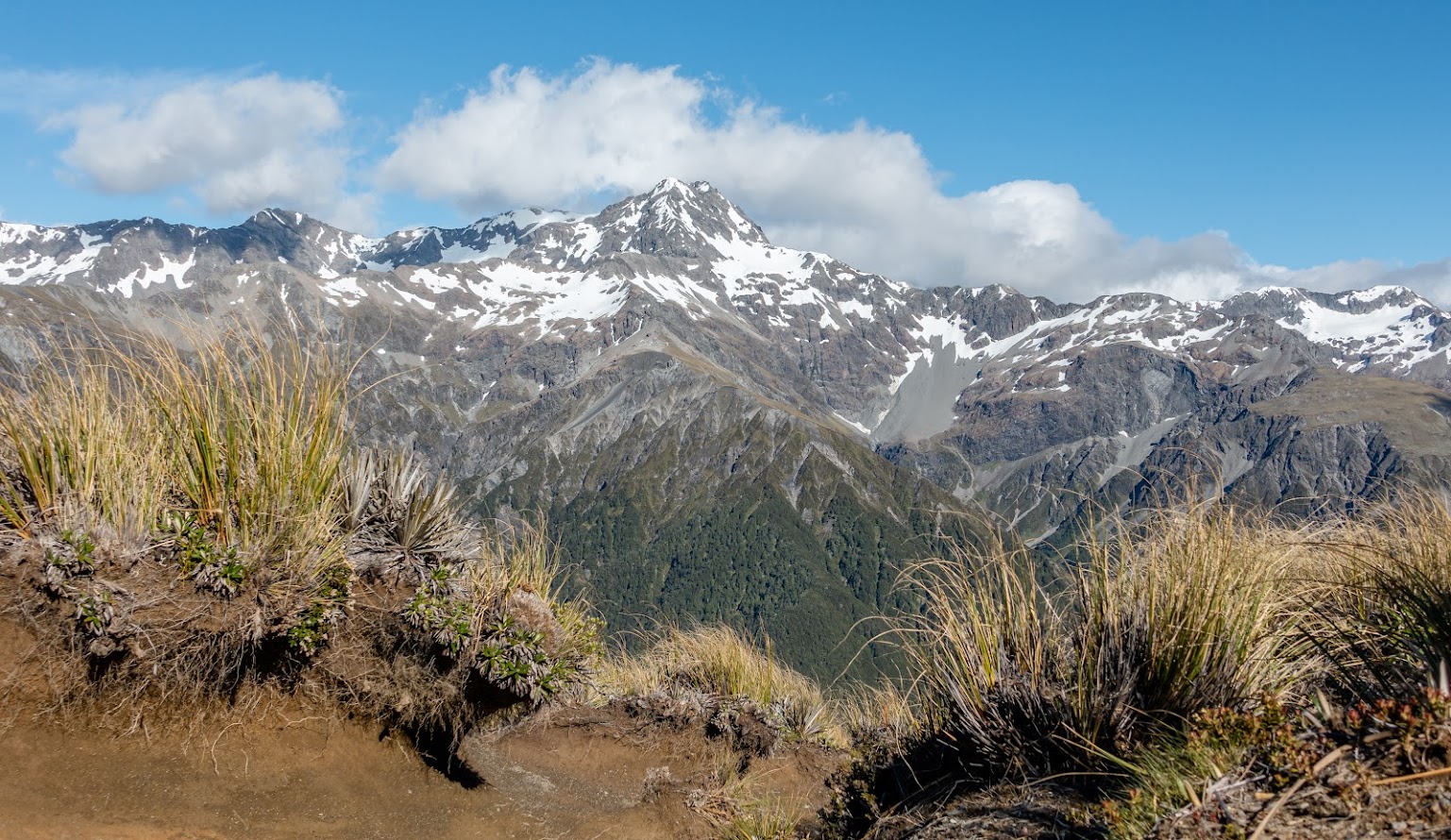
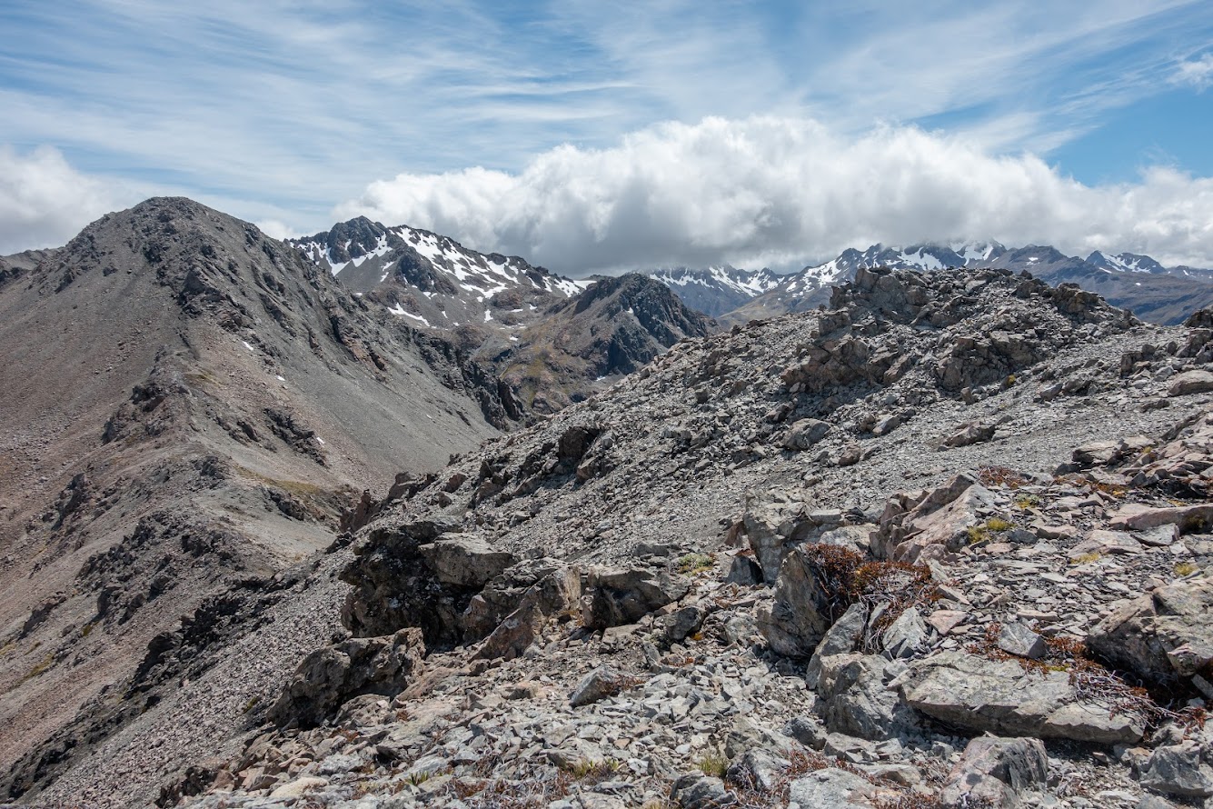
- The first part of the track to Mt O’Malley is very straightforward. Through the bush it follows Mt Aicken Track and then above the bushline it starts diverting to the right / south across a clearly visible, steeply looking ridge.
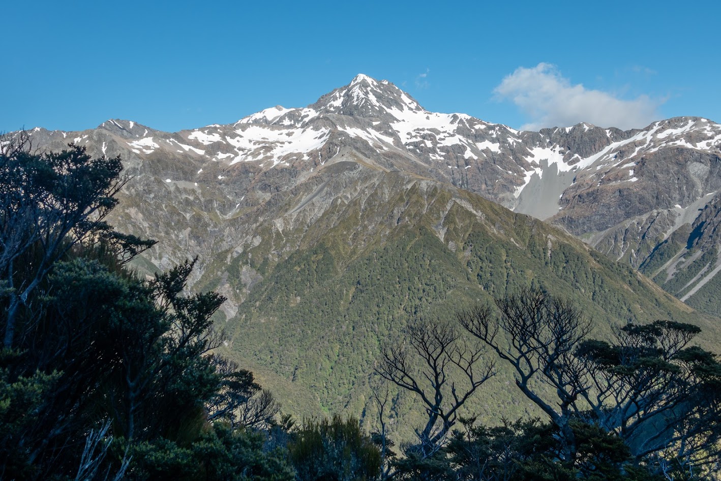
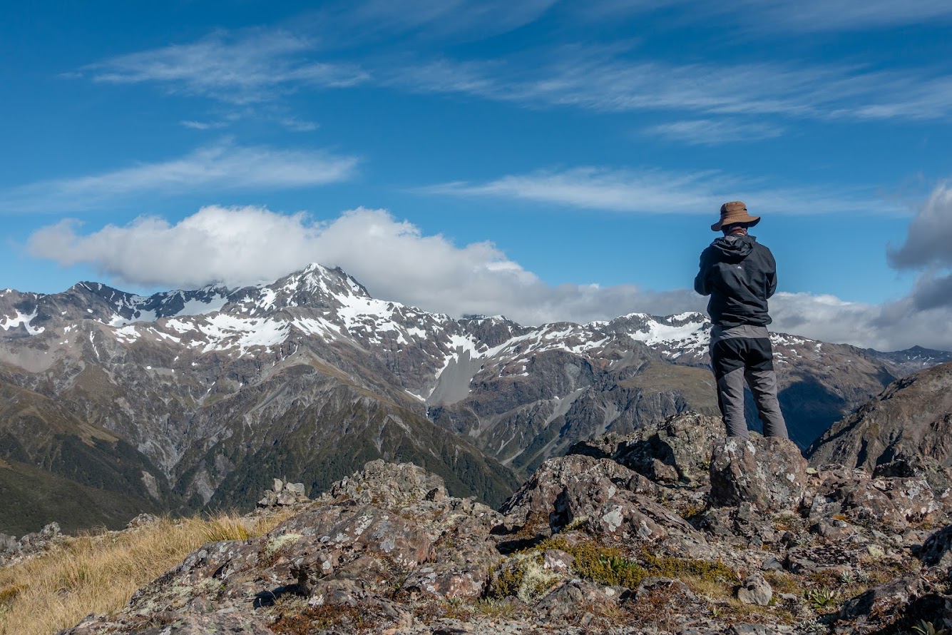
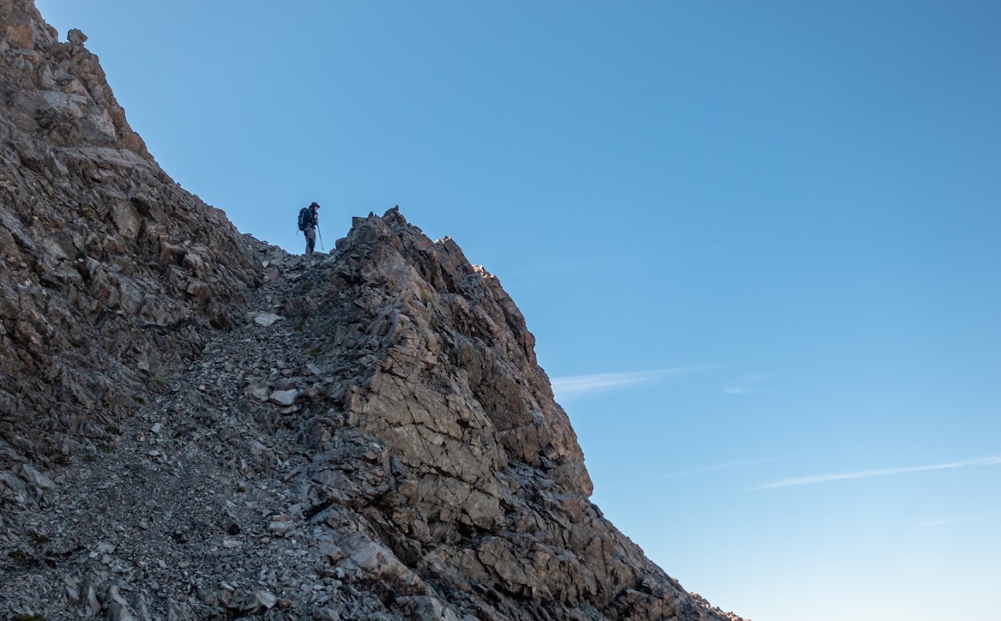
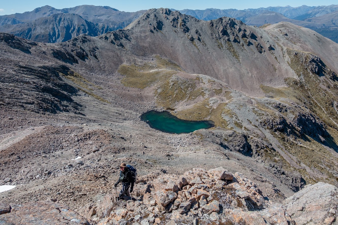
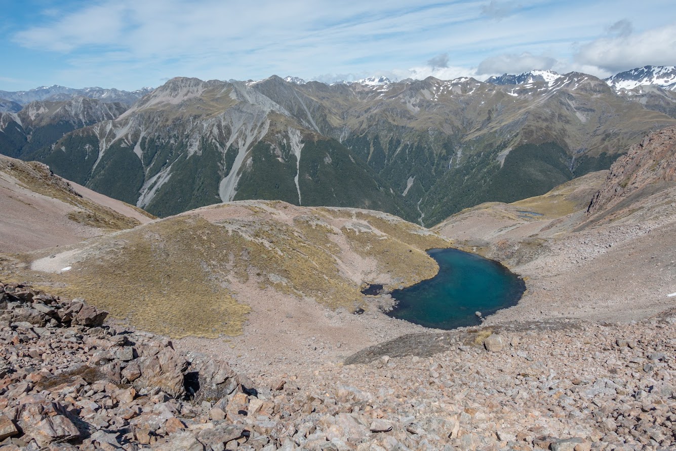
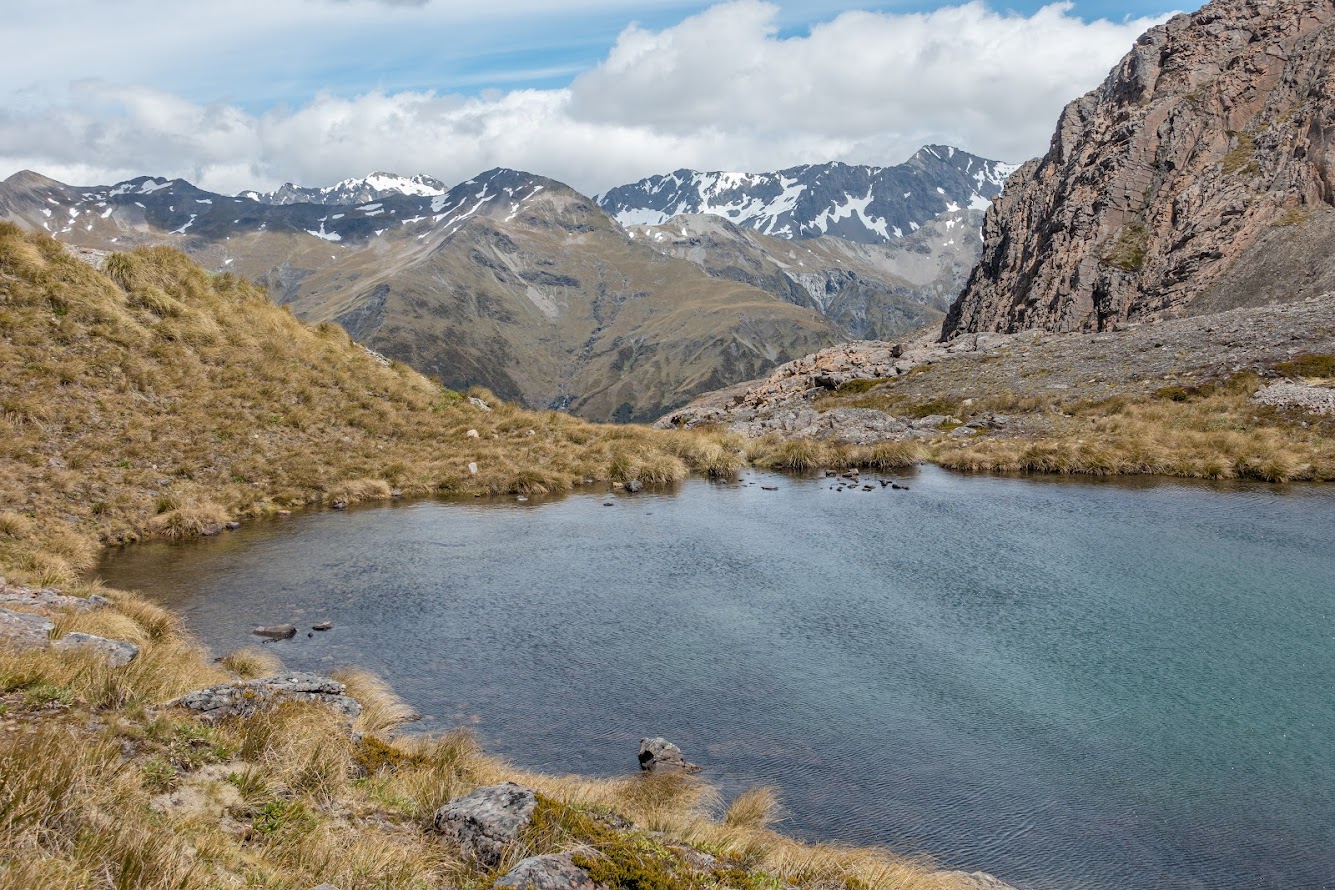
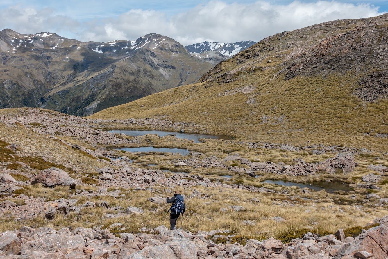
- Once on the ridge we descended into a basin below with another ridge a few hundred meters ahead. Now this ridge can be negotiated by going below it or above it. Above it is much more fun. Once you above it, there is a short but steep gully with a vague rock cairn (actually just a rock sitting on unusual place – on the left side of the steep short gully – so it’s likely been put there by someone). We went up and from there we followed vague track for 50 m and descended a bit of a steep bit to the next basin which is a home for a big tarn. Instead loosing elevation and descending to the tarn, we followed 1650m contour to a flat saddle between Mt O’Malley and pt1768. Mt O’Malley was just a wee stroll from there.
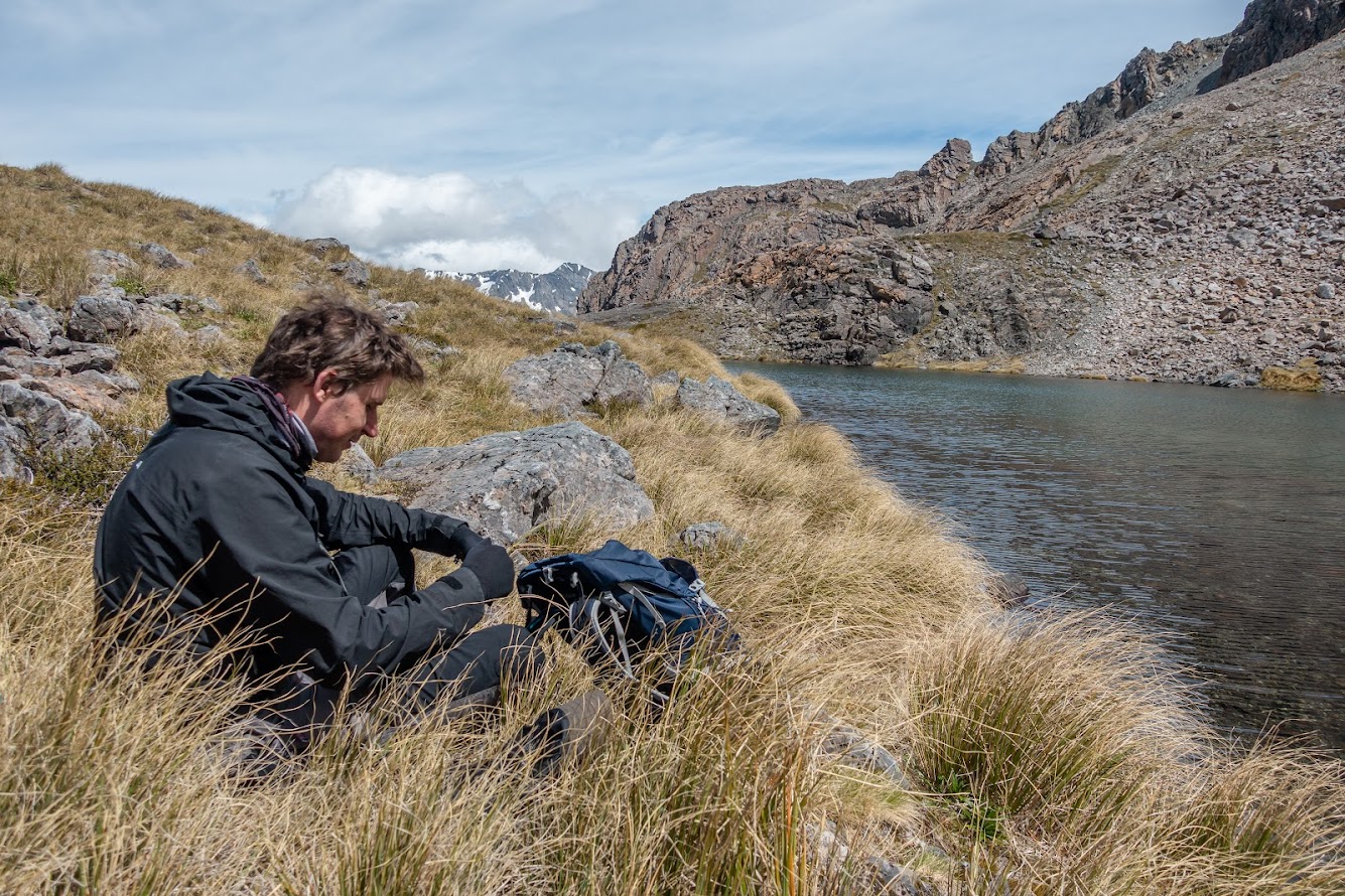
- We decided to check out the tarn so we took a scree down to the basin and spent about half hour hanging out around the tarn. This would be a good camp, though pretty bumpy.
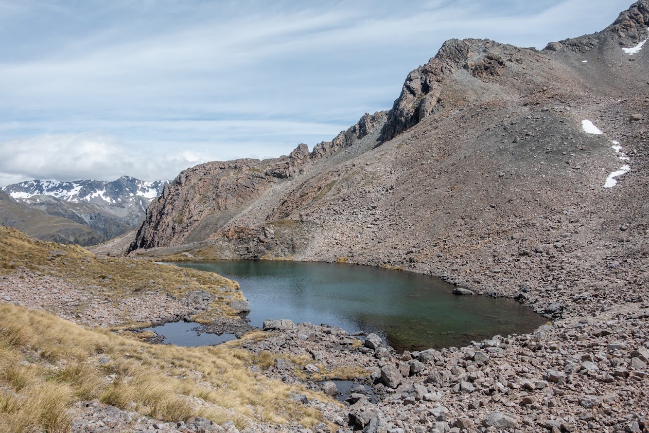
- On the way back we tried to go below the scary looking ridge northwest of the tarn but that wasn’t very good. There are some pretty gnarly bluffs and we had to climb up quite a bit and cross a scree slope that wasn’t very nice. As a hunter that we’d meet later on pointed, it was okay but “you don’t want it to get any more exciting than that”.
- Soon we hit Mt Aicken track again and descended back to Arthur’s Pass.
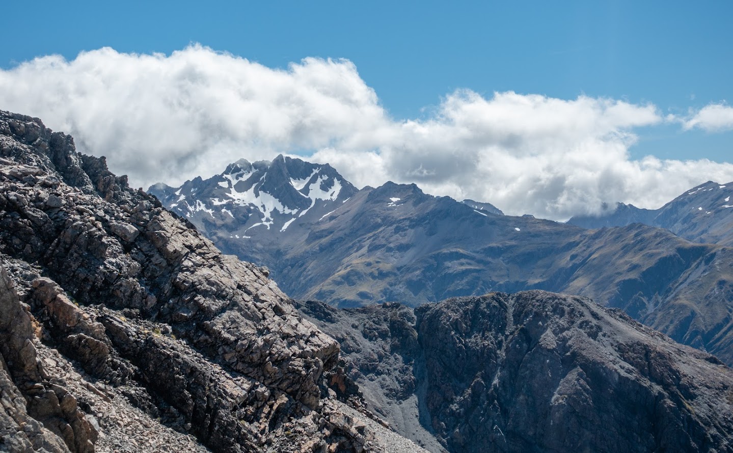
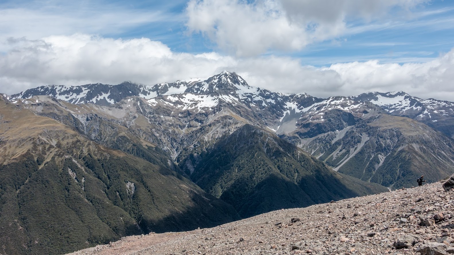
- Pretty good day out, though pretty chilly for December. It’s be interesting to look for a route to Minga River one day but I’ve heard that those ridges are often cut through with vertical cliffs so perhaps it’s just safer to go back the same way. This would also make for a good winter tramp!
Tramped on 18th December 2021. Rough stats: 9 km, 1100 m up, 7 hours.

Total distance: 9449 m
Max elevation: 1701 m
Min elevation: 740 m
Download file: GPX-hikingisgood-com-nz-2022-Mt-OMalley.gpx
Max elevation: 1701 m
Min elevation: 740 m