| ↻ Distance / ↑ Ascent | Time | Map |
| ↻ 23 km / ↑ 1100 m | 7 hours | See the online map below |
Sarajevo is a cute capital, kind of my size of city. Big enough to have universities and museums but still small enough to see mountains from almost any place. The most convenient hike you can do there is to take a public transport bus 69 to Nahorevo. From there, you keep following the road and come to a place with a map and quite a few trails you can follow.
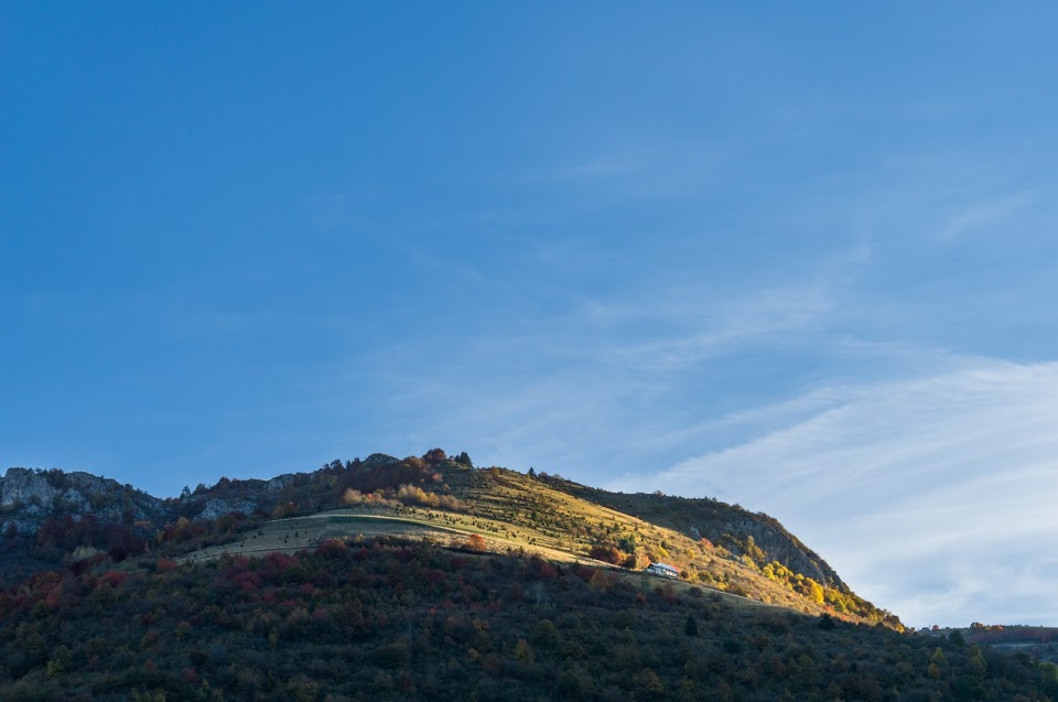
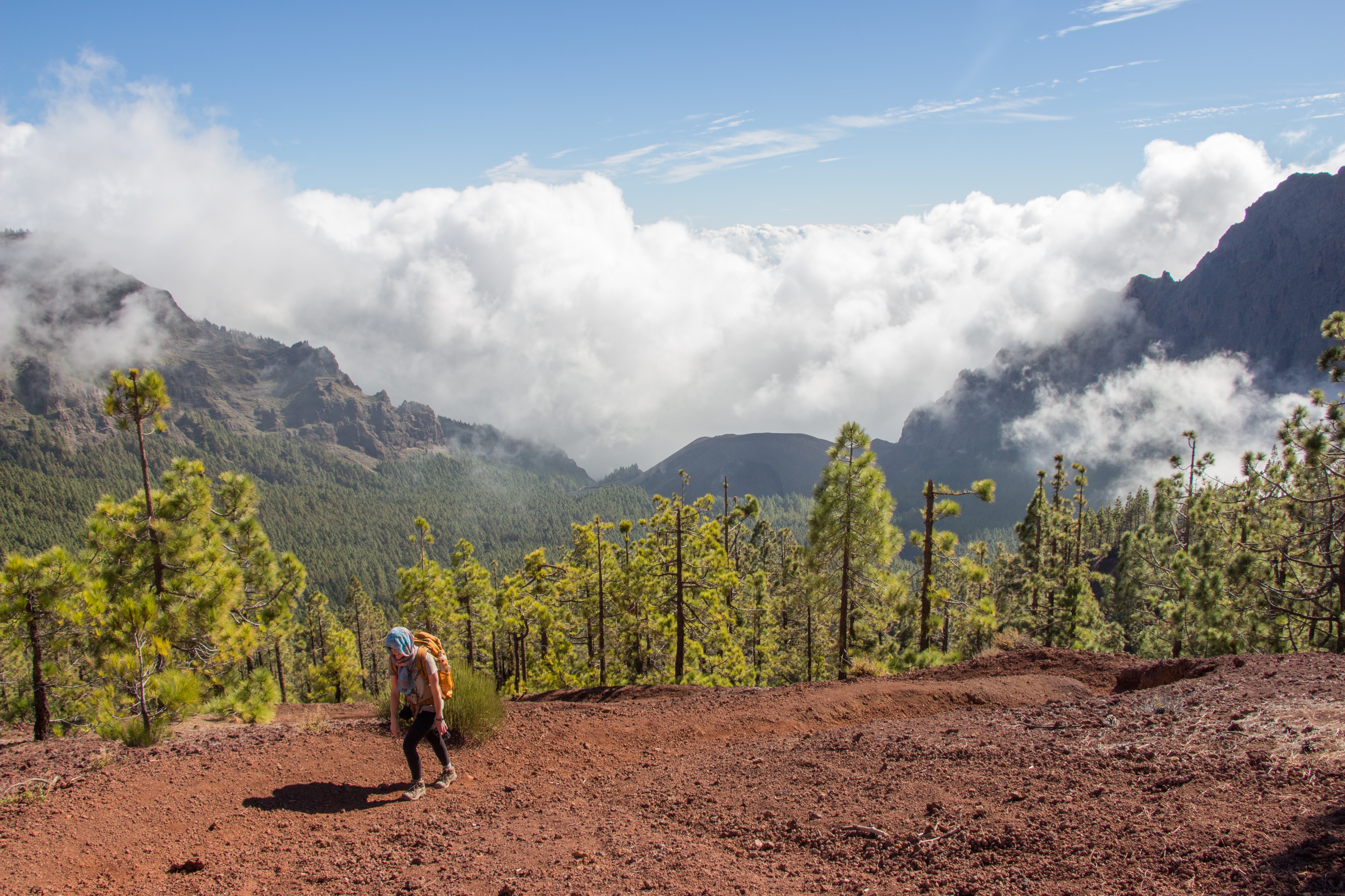
Probably the most popular is a trail to the waterfall Skakavac but since I’m not really a waterfall guy, I started following the trail to Bukovnik. The trail is clean and easy to follow.
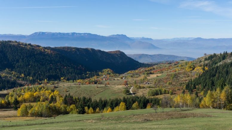
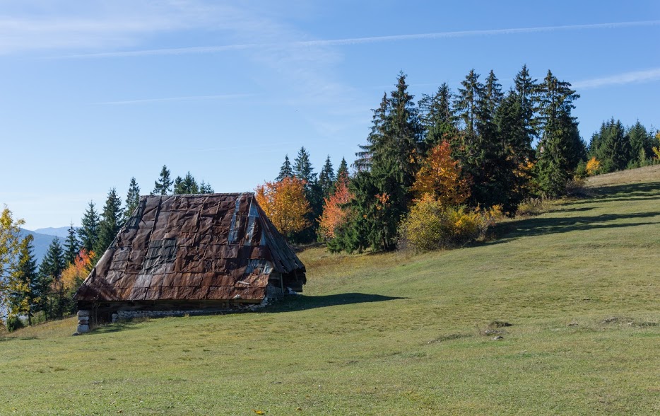
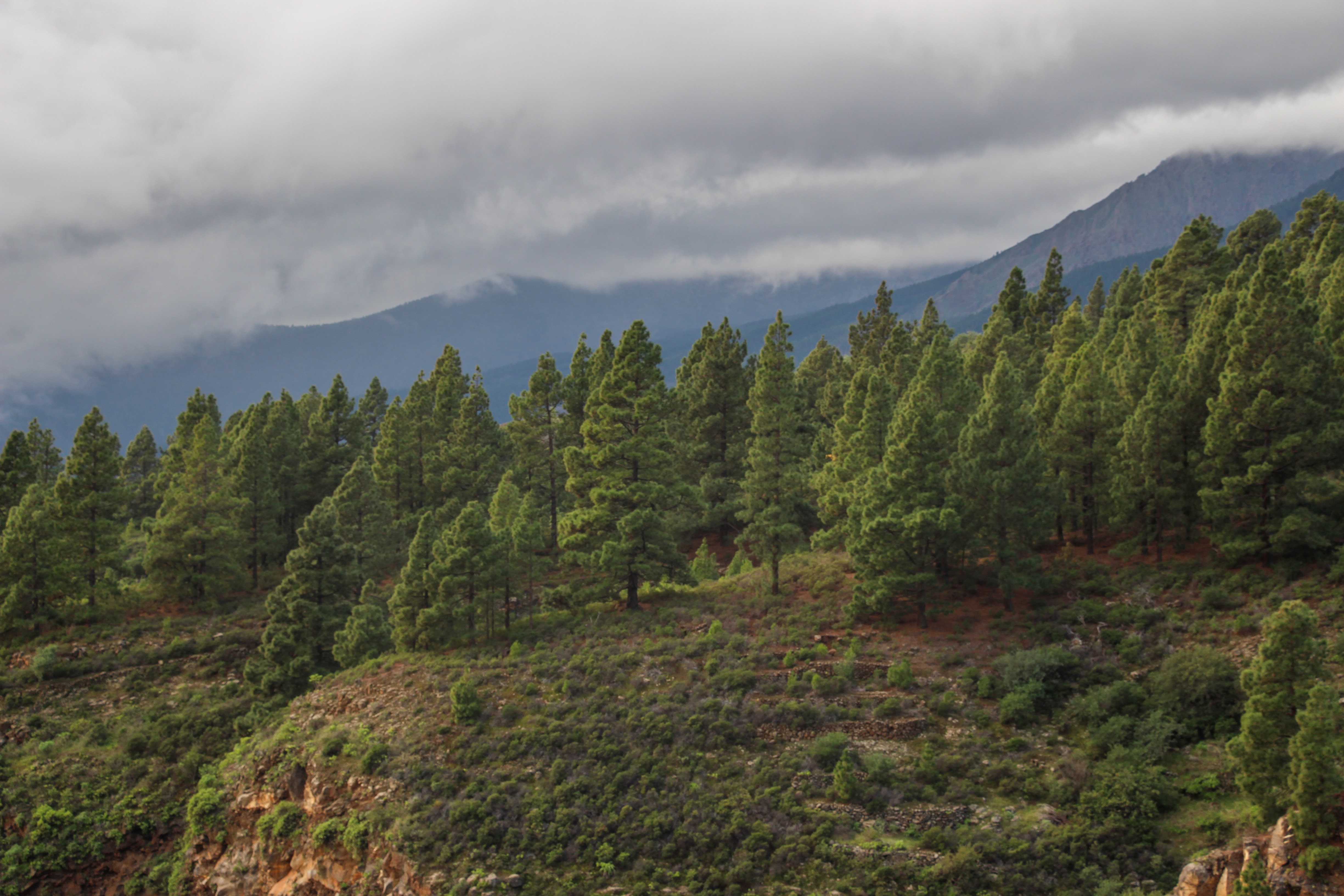
There are lots of old buildings on the way. Half ruined sheds with tin roofs, plastic filled windows instead of glass, but smoke coming out of rotten chimneys, shows people still inhabit these old ruins. It’s a nice taste of old Bosnia and Herzegovina. Lots of obviously new houses are emerging too. I reckon that the fancy people of Sarajevo want to escape busy life down there and get above the polluted air which is clearly visible all day, sitting on the town like a lid on a pot.
I continued from Bukovnik along the roads and headed to Gvozdarevo, Barice and down to the city center of Sarajevo. There are many other options you can do, but if you don’t have a car and don’t want to spend money for a taxi, this is the most convenient trail you can do as a day trip.
Map
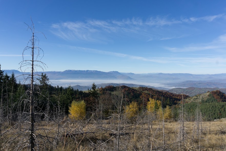
Max elevation: 1503 m
Min elevation: 561 m


Be the first to comment on "Hiking around Sarajevo: from Nahorevo to Bukovik and back"