This was a last-minute CTC trip that I announced on Friday on CTC Facebook and it appeared on the CTC website on Saturday morning. It attracted only 1 person, Geoffrey Cornelis.
- The day didn’t start great. In the morning, my phone wouldn’t turn on which meant that I didn’t have a map. I always print out a paper map and take a compass – always but this time, of course. I tried to memorize the Topo Map which worked quite well in the end. Later I found out that Geoff had Topo Maps on his phone so we were all good.
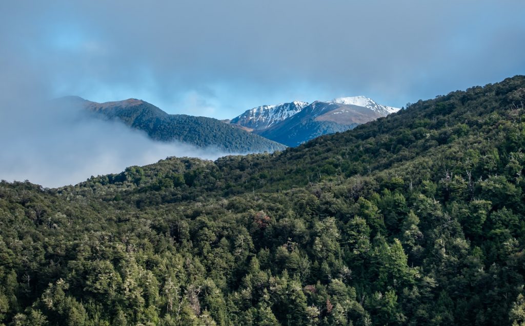
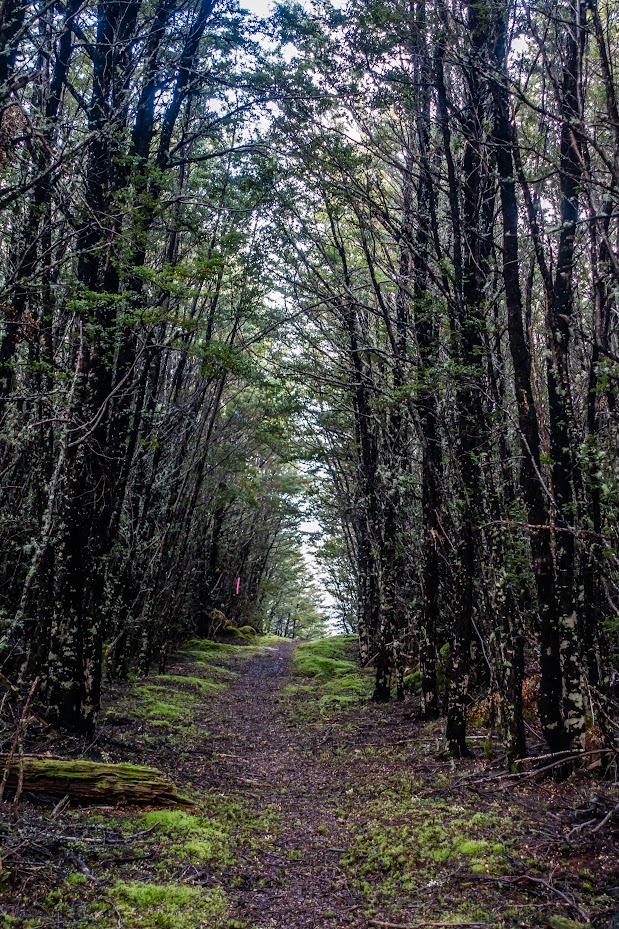
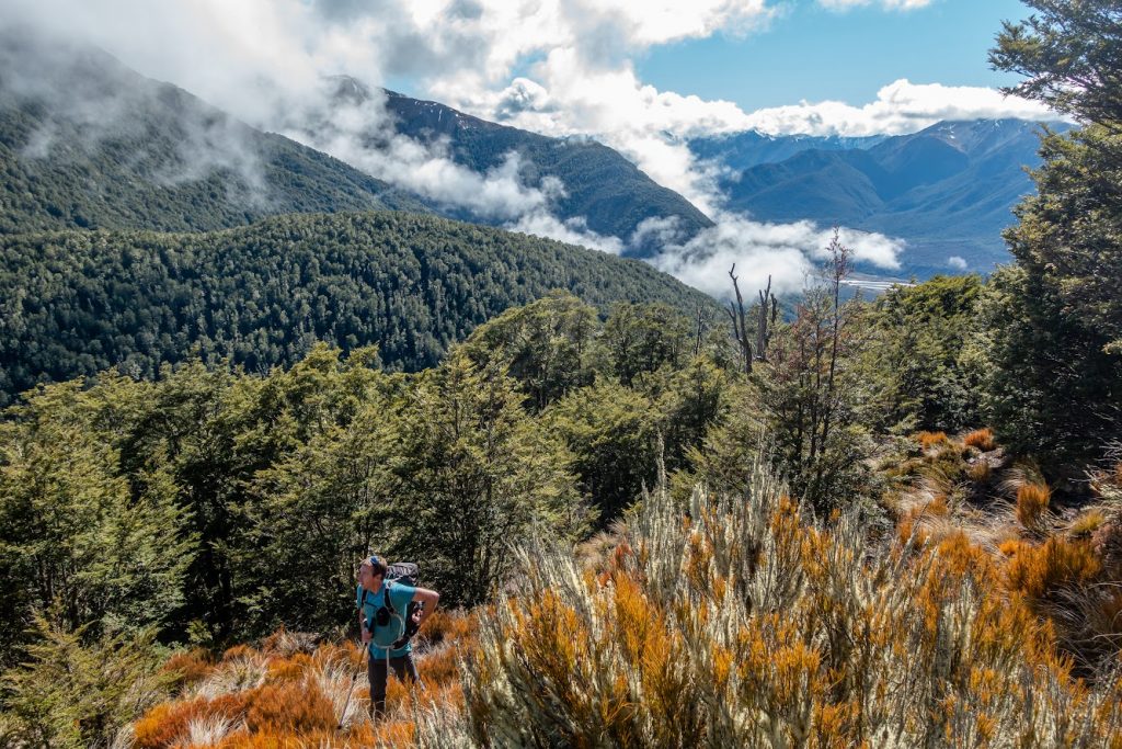
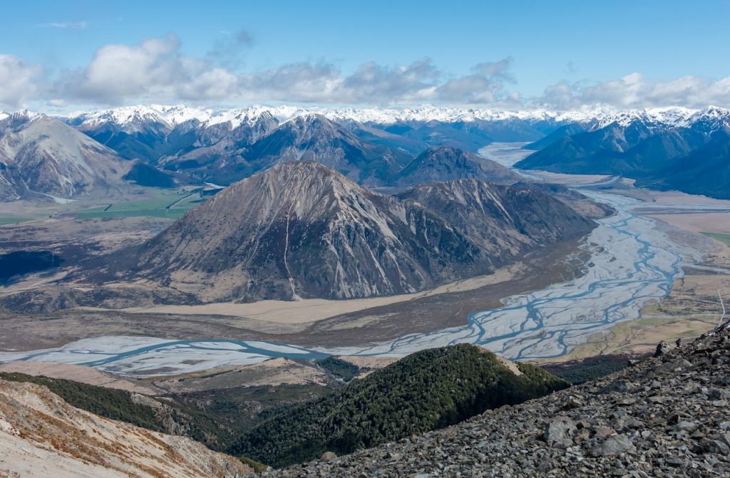
- I picked up Geoffrey at 6.40 AM and off we went, walking by 8.30 AM. We reached Binser Saddle quite quickly and from there we bush bashed through a relatively open forest to the bushline. The track was quite open but I think that we entered the bush about 100m too early, it could have been better to follow the Binser Saddle track for a minute longer and take a vague but visible ridge just before Binser Saddle. The bush there looked more open.
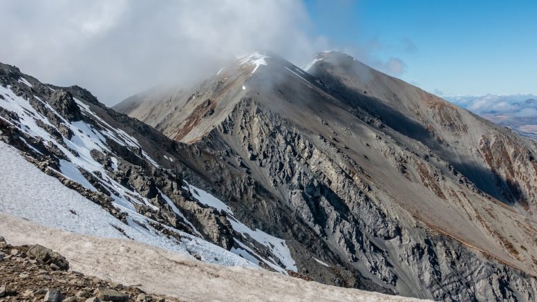
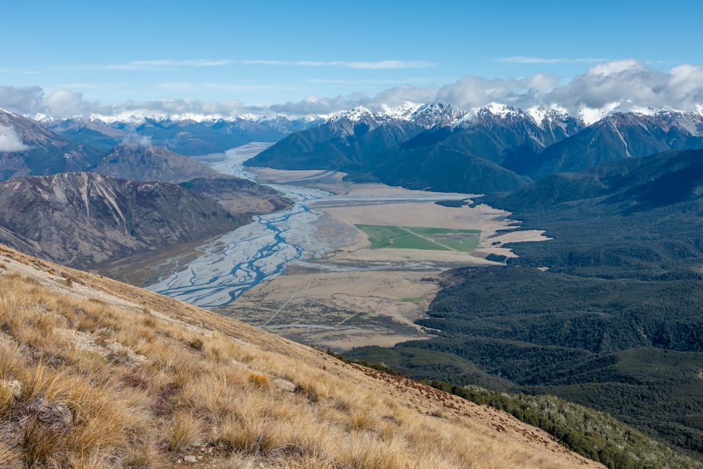
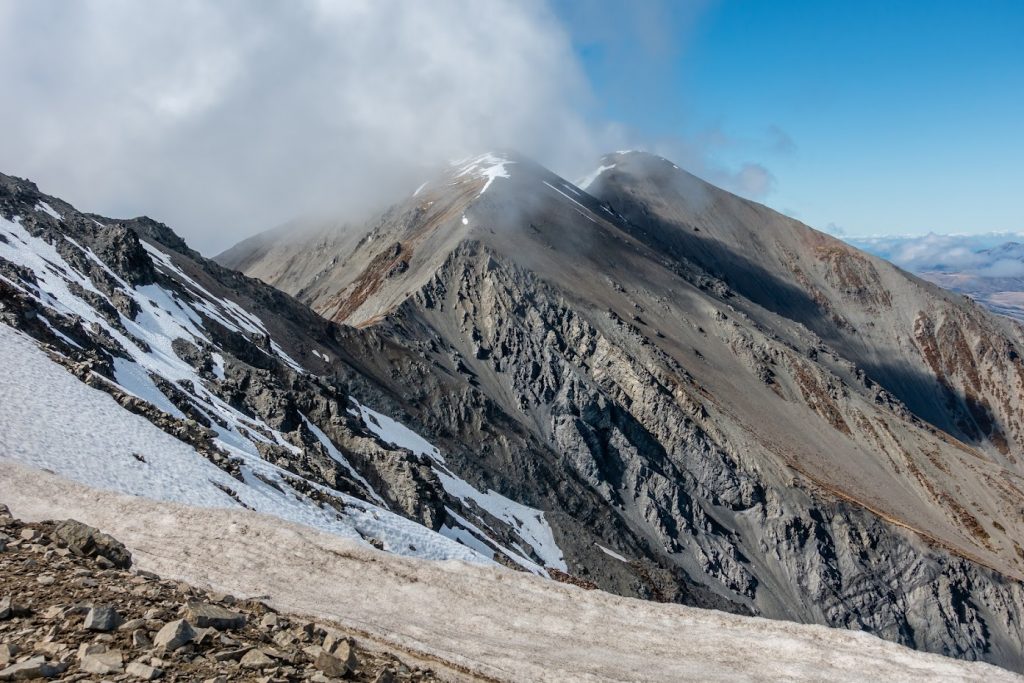
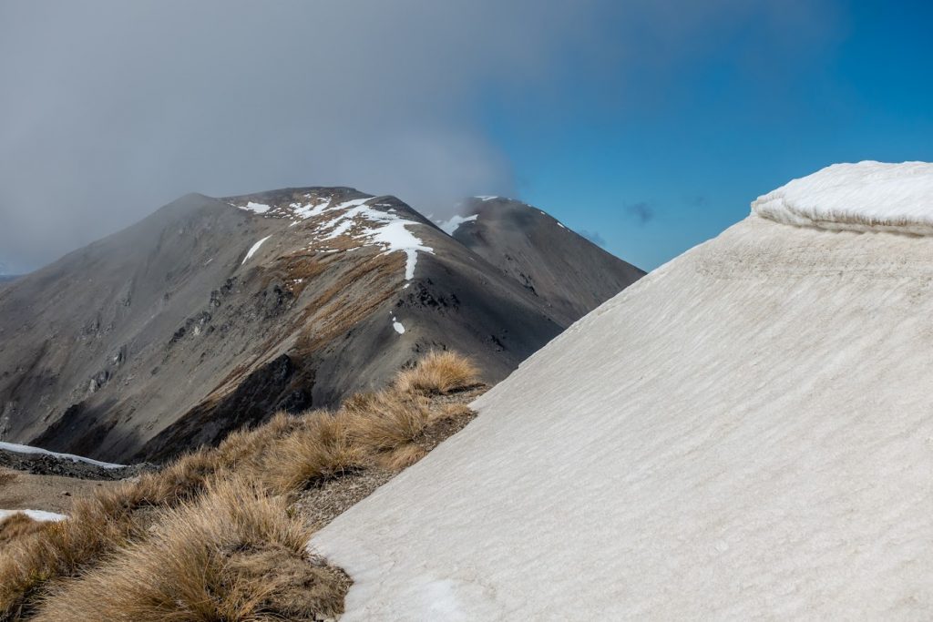
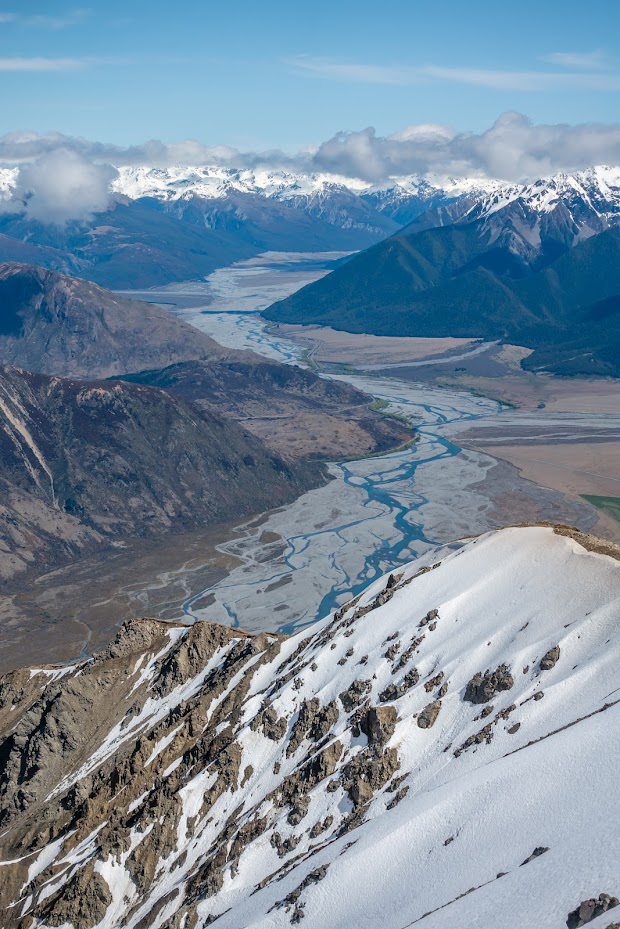
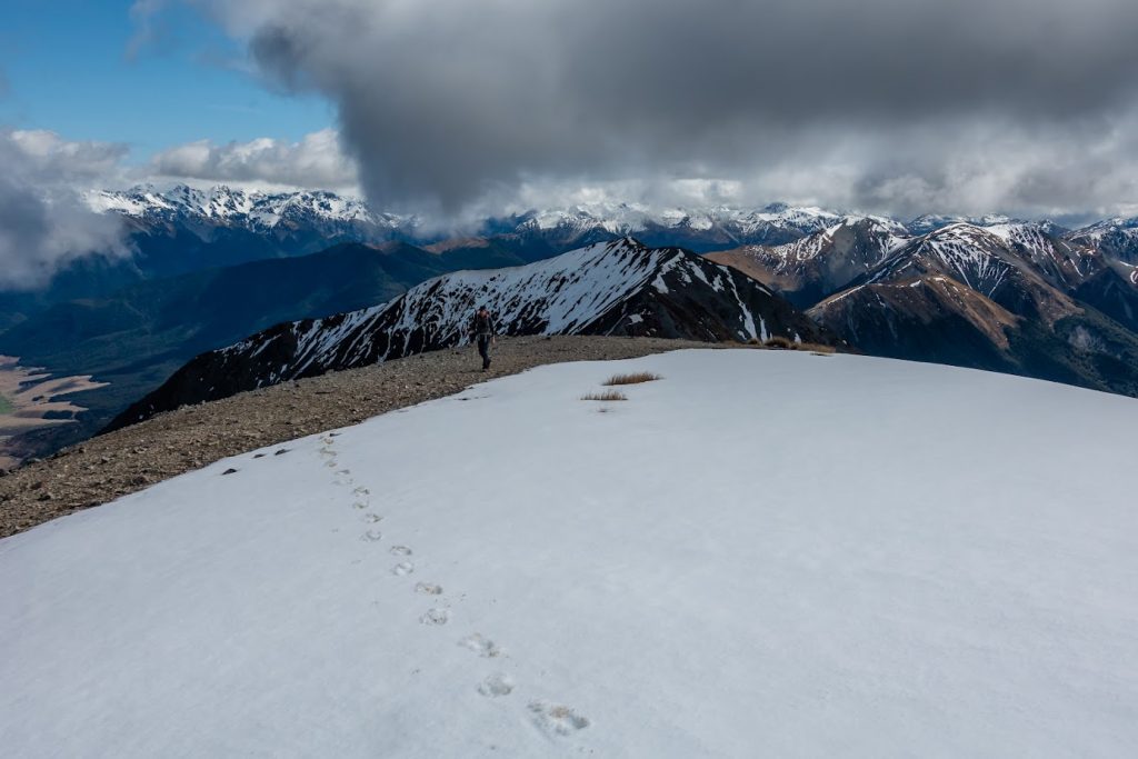
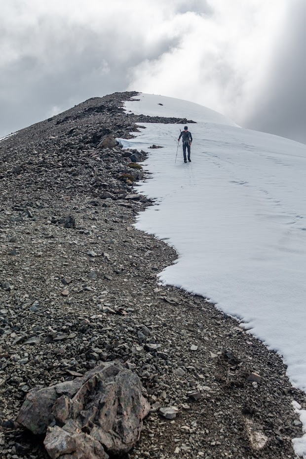
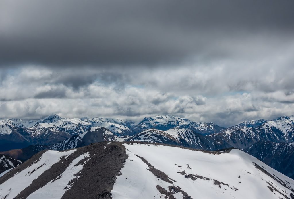
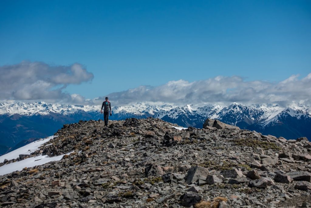
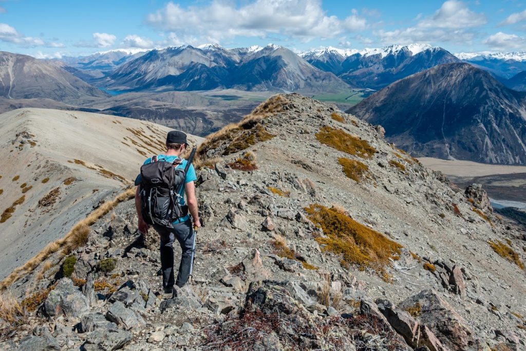
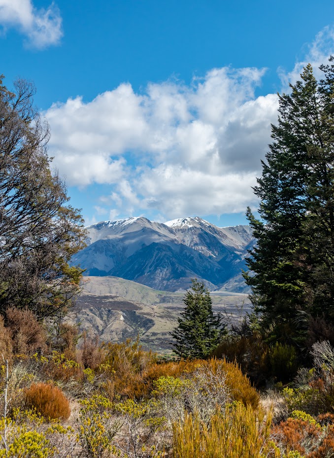
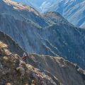
- From the bushline, it was quite a good toil to get to the tops. The weather was fantastic though!
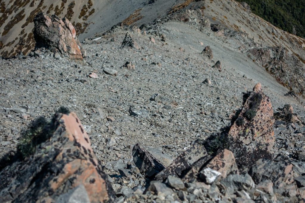
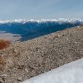
- There wasn’t much snow left along the tops and we didn’t need either crampons or an ice axe.
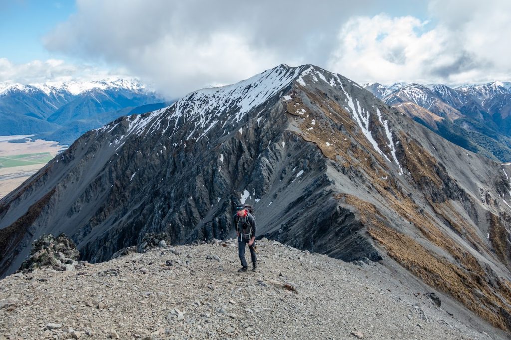
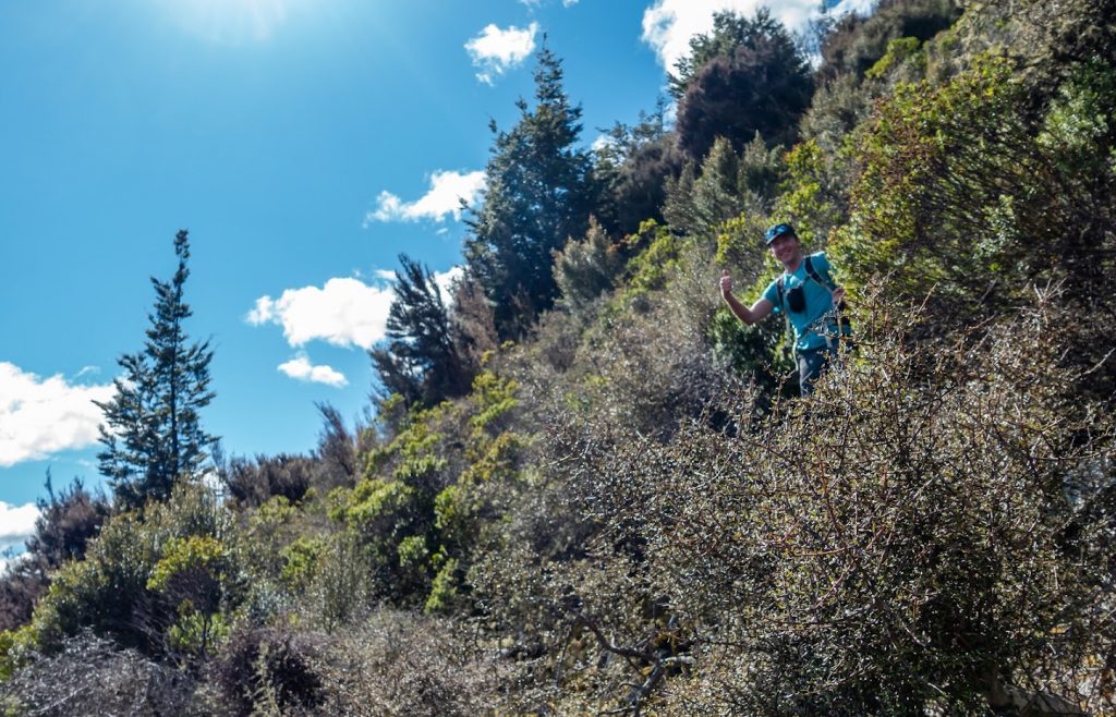
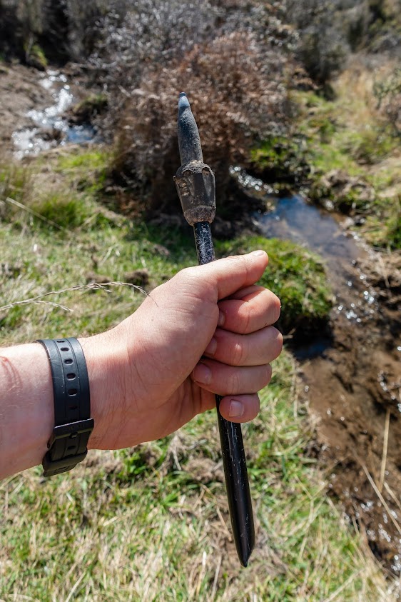
- From Mt Binser, we started to descend along the W ridge. It was all going well but I realise now that I missed the turn S at some point and we ended up going W, straight to the road (see the map). It was going okay at first, but soon matagouri and short scrubby bush swallowed us. For the next 1.5h, we were trying to get through perhaps 1 km of really steep slopes full of unpleasant scrub. At some point, I lost sight of Geoffrey who appeared 5 minutes later and asked “Did you also need to do some regular climbing to get down here?” “Ehmmm no?”. A few minutes later I managed to slip and break my hiking pole – forever she’ll be remembered, that great companion of mine.
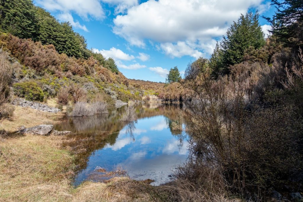
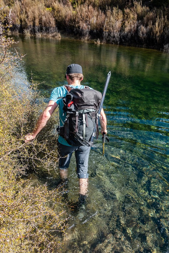
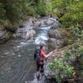
- Oh well, at the end we managed to find a way through bluffs and vertical rock cliffs along a tiny steep scree that led us to a wee cute tarn. The war was over but there was the last battle ahead: to get around the tarn. The bush was so thick that it felt like a wall. I pushed with all my strength and the bush didn’t even acknowledge me. We opted for the easiest way out which was straight through the tarn. The water wasn’t too deep, just above our knees and it was great to cool down our legs scratched by local “lovely” flora.
- When we reached the road, after about 30 seconds a ute stopped with a smiling guy in it: “Hey fellas, where your’ off to? Yeah, Binser carpark? You wanna jump in mate?” Oh sure! And we jumped in the back of his ute and he took us back to our cars. Much better than to walk 4 kms along a gravel road. Much appreciated mate!
Rough stats: cca 13.5 km, 1500m up, 7.5h.
Tramped on 10th October 2021.


Be the first to comment on "Mt Binser (1860m) in Arthur’s Pass"