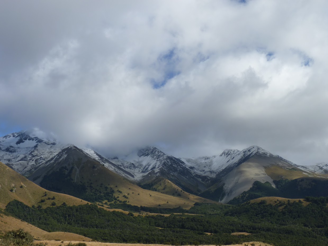
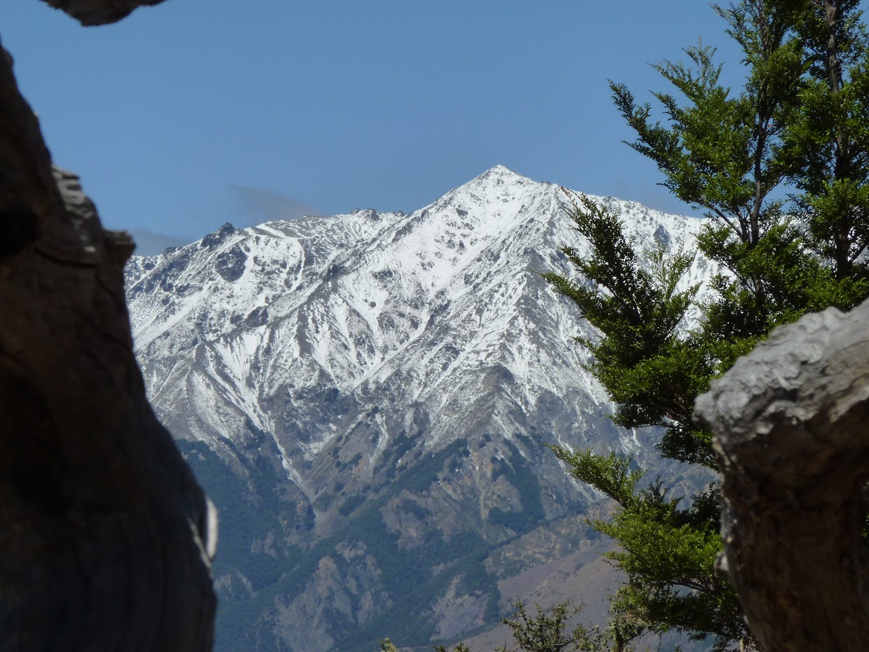
Due to the poor weather forecast, I had to postpone (again…) our Woolshed Creek Hut adventure for kids. This gave rise to an opportunity to lead a trip for adults. Saturday looked rainy, but Sunday seemed very interesting. Both Niwa and Yr.no showed snow on the mountain tops on Saturday night, so I put a trip up to Mt. Cloudsley, hoping for the best. And the best it was.
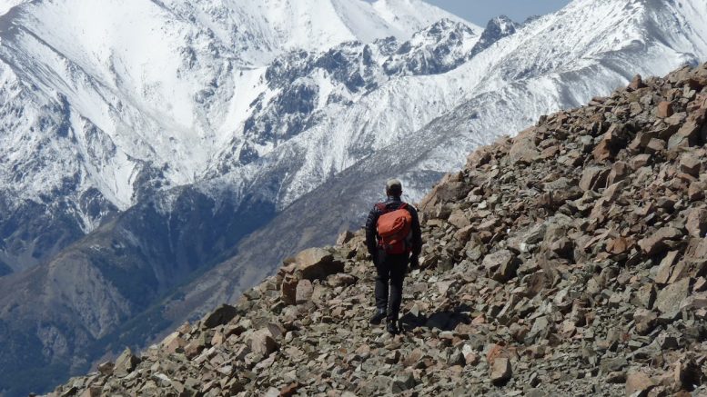
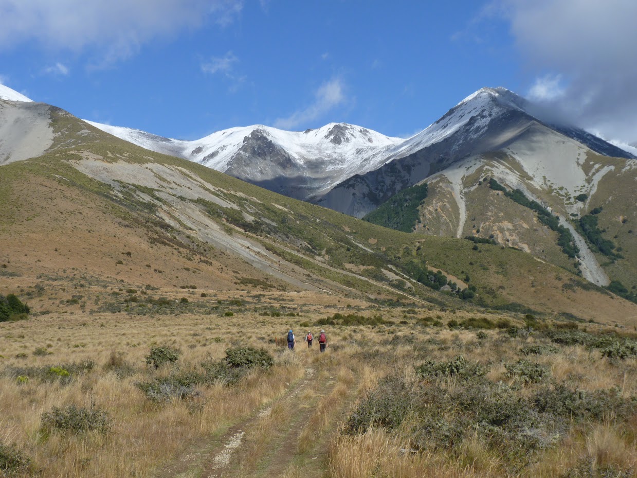
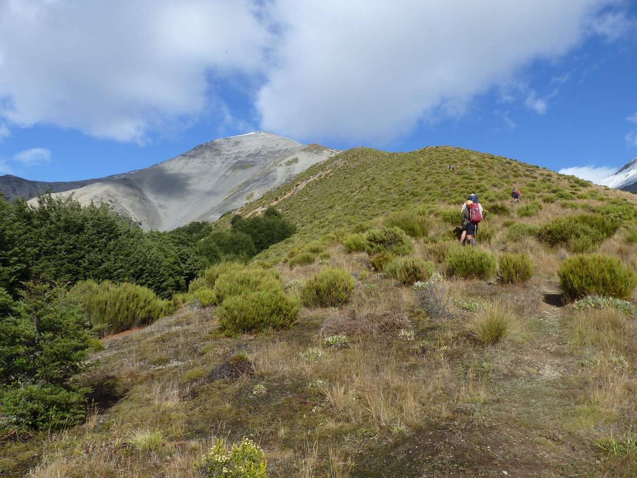
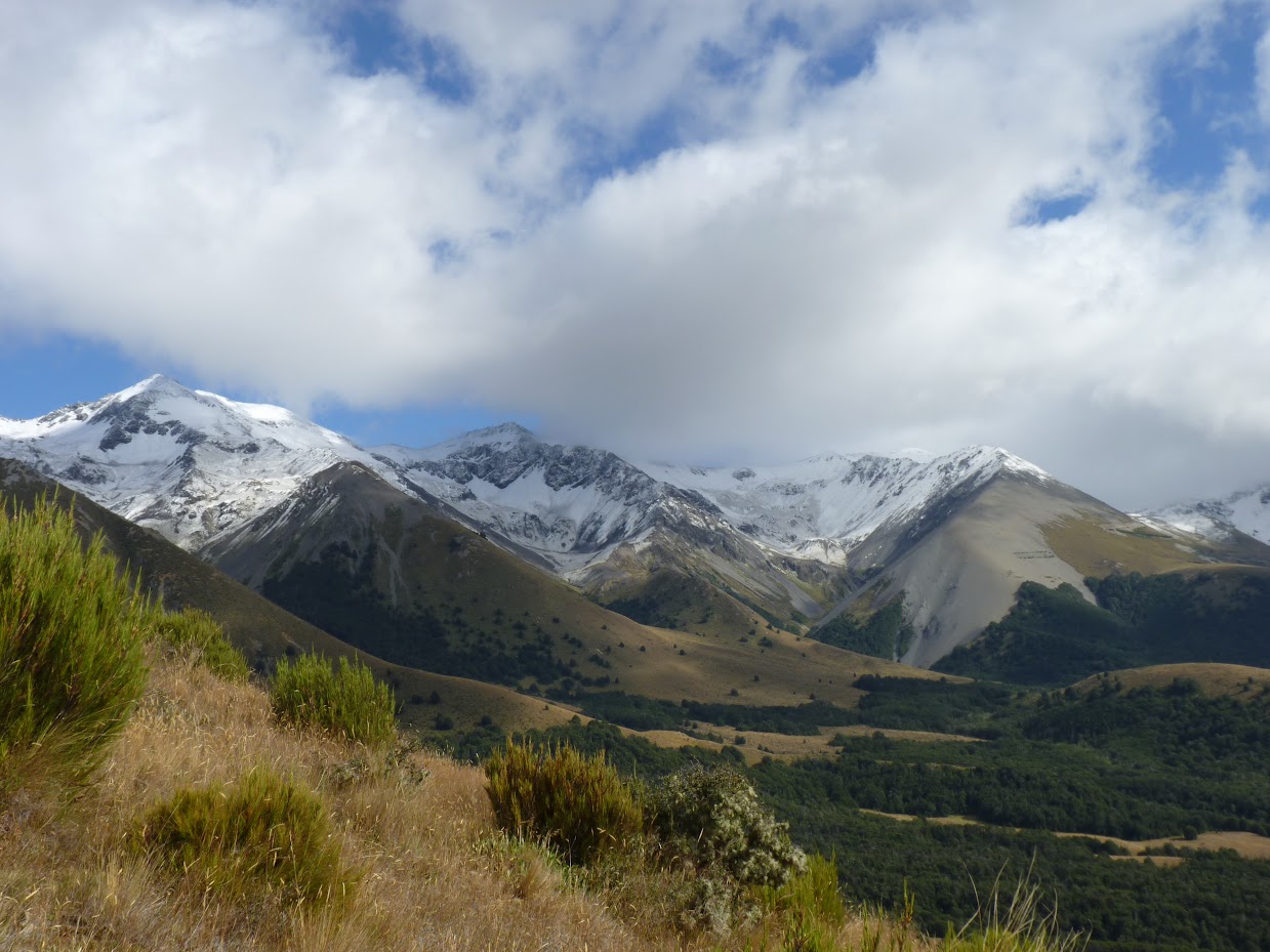
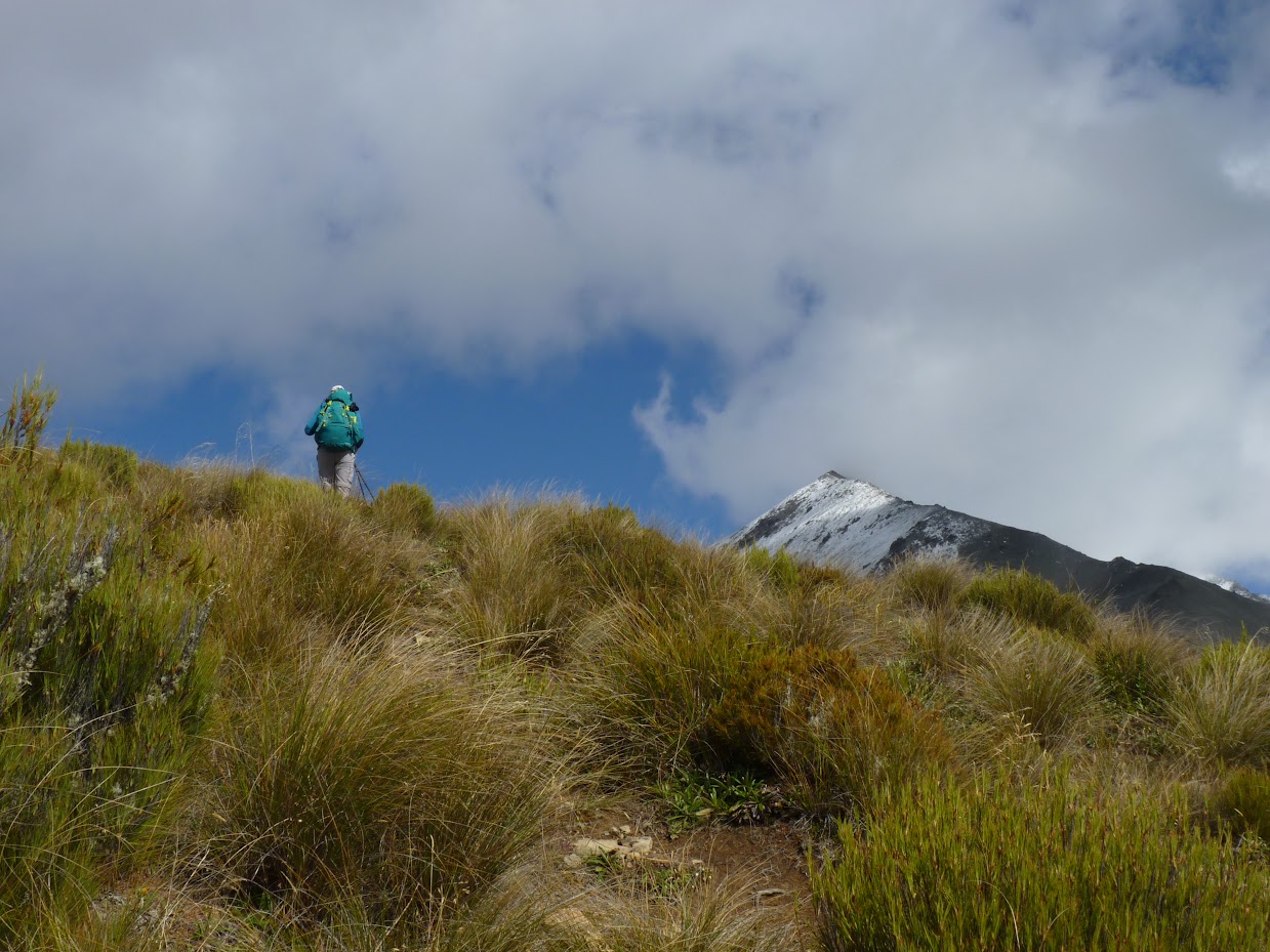
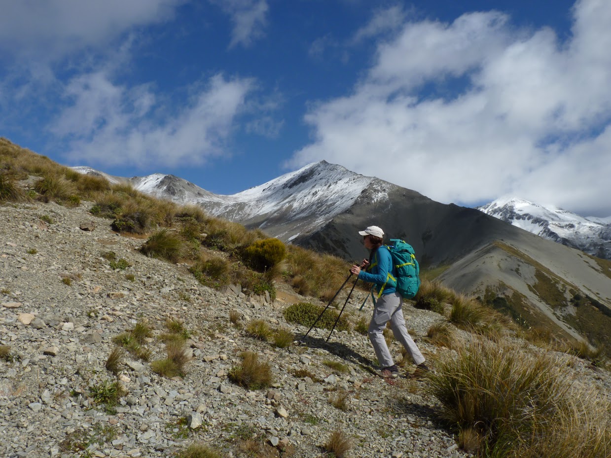
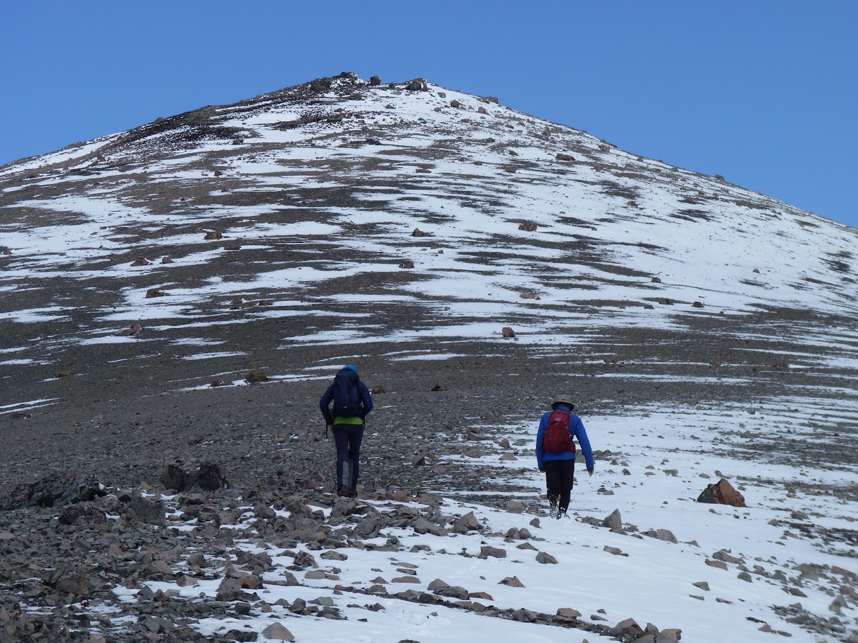
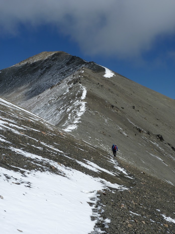
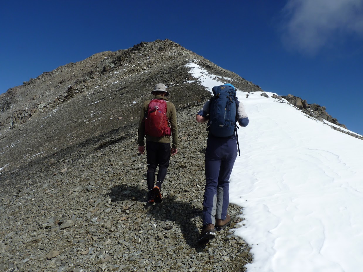
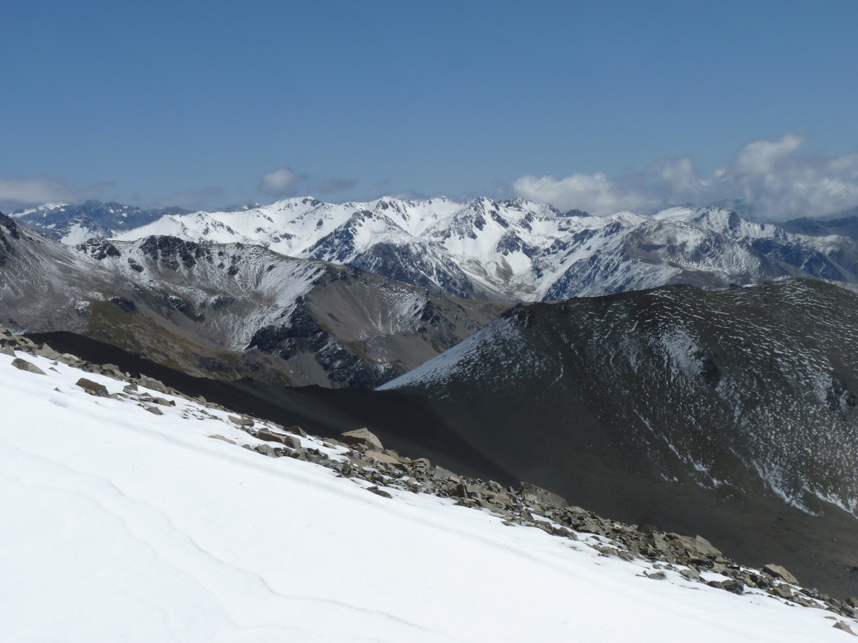
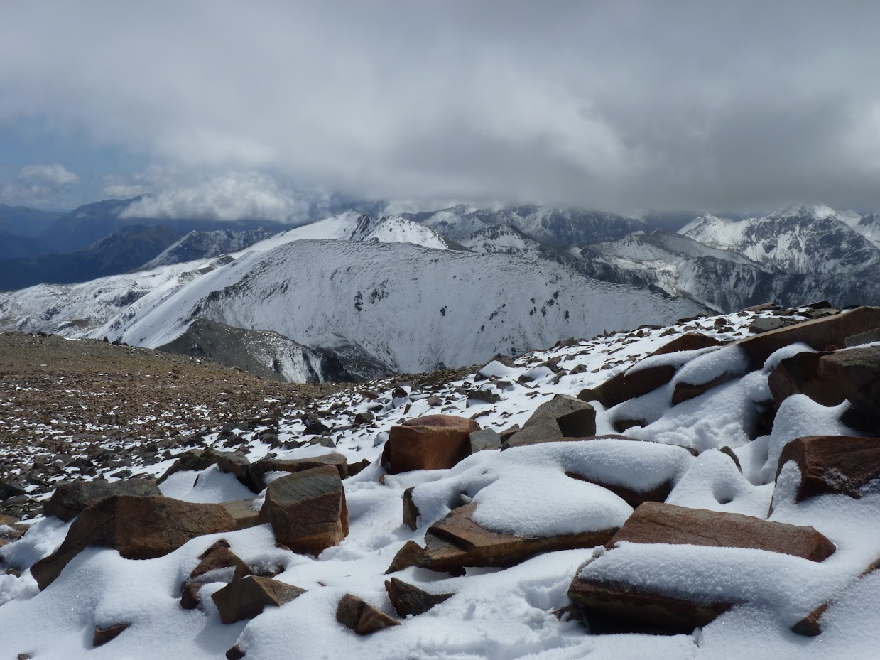
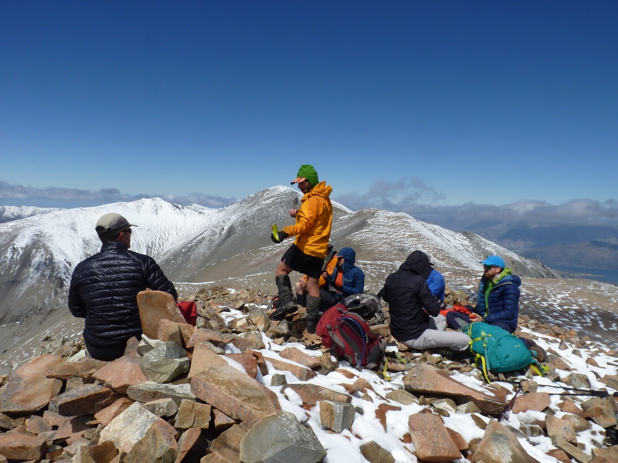
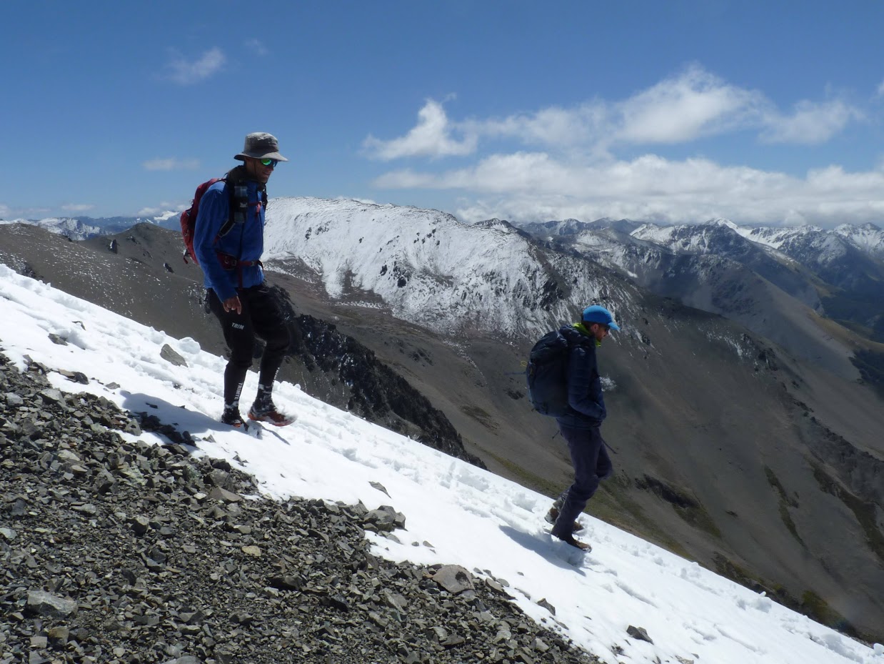
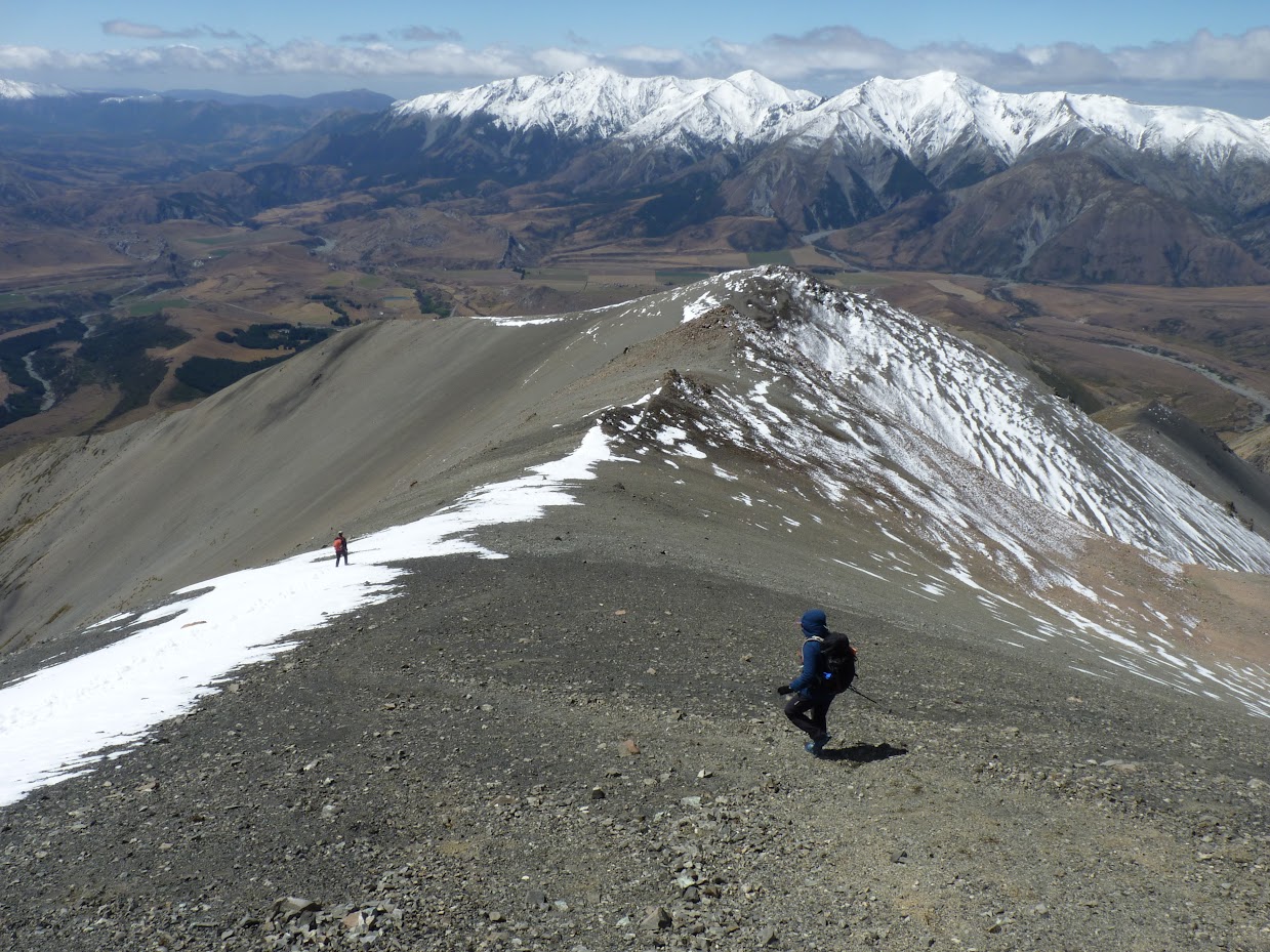
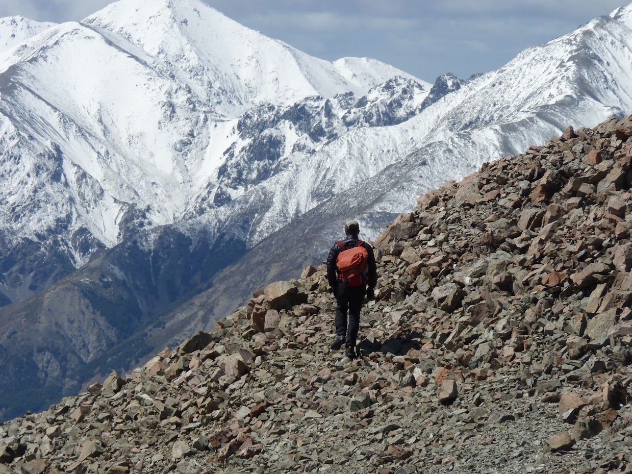
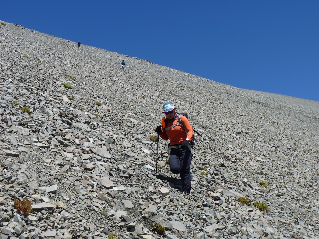
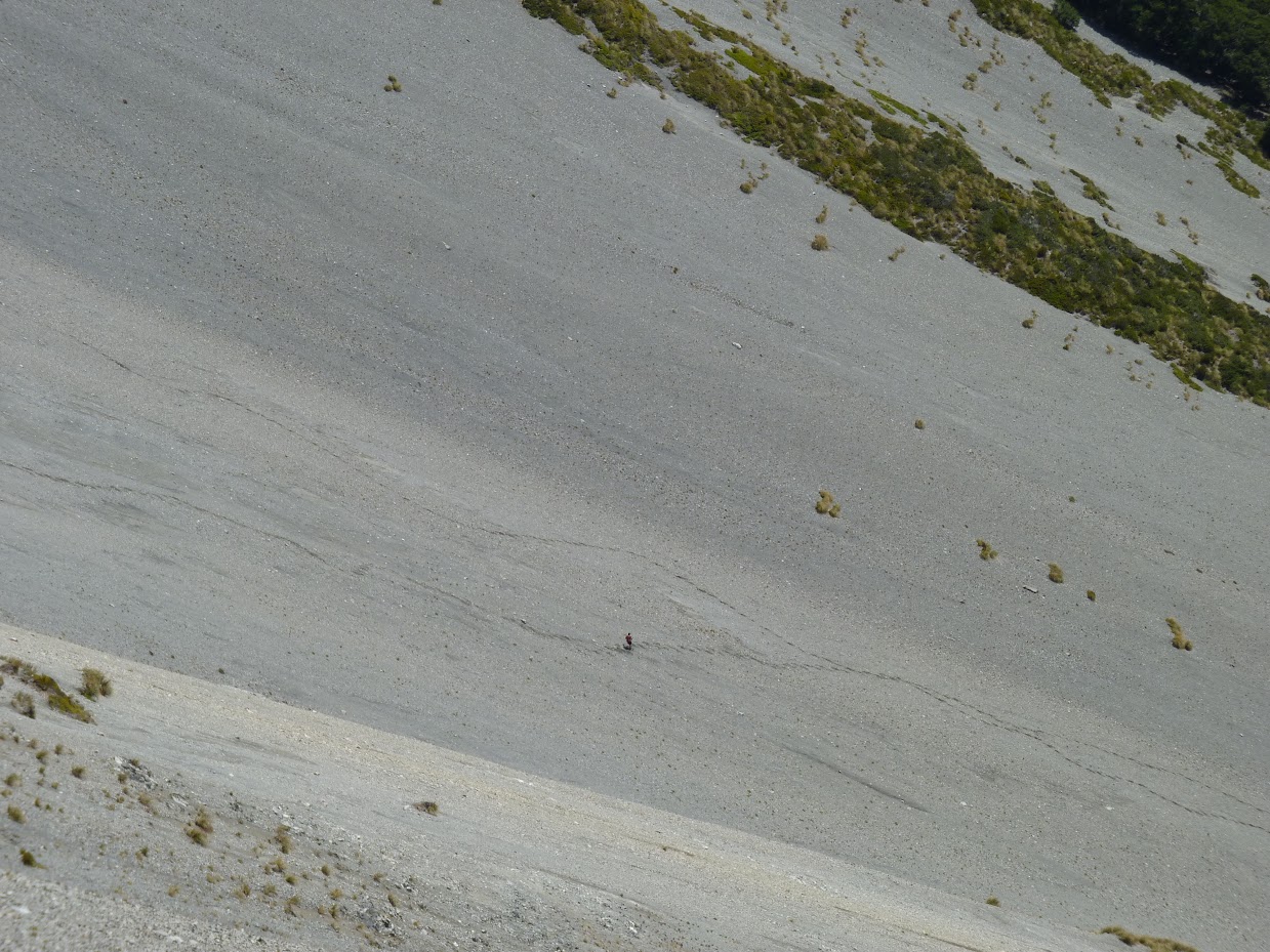
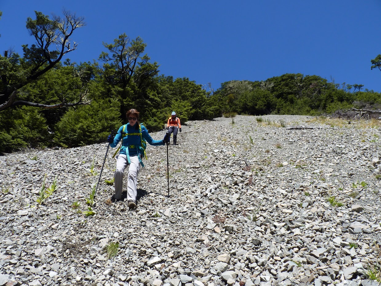
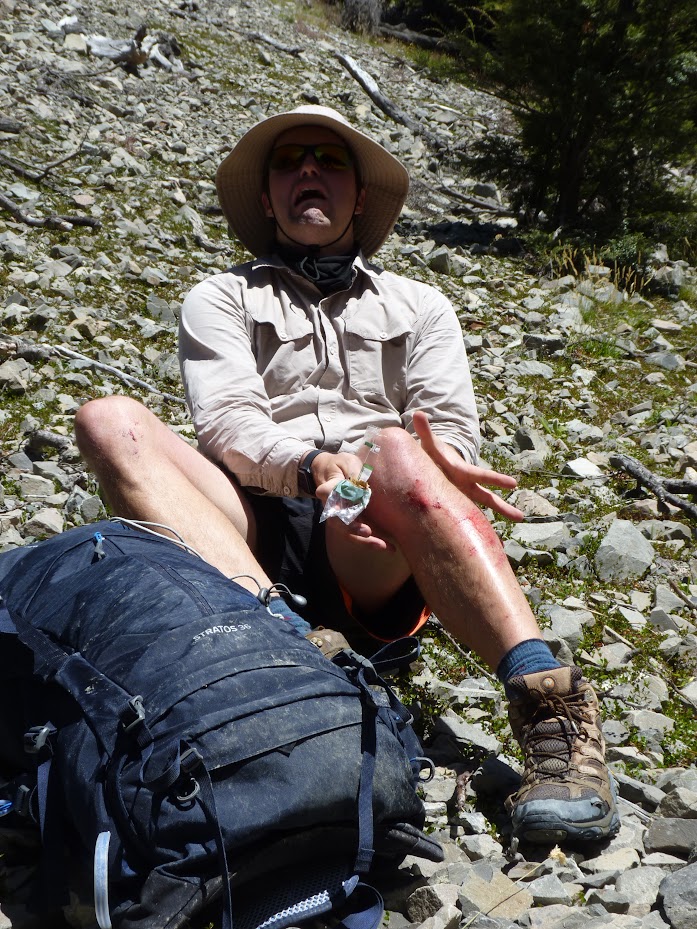
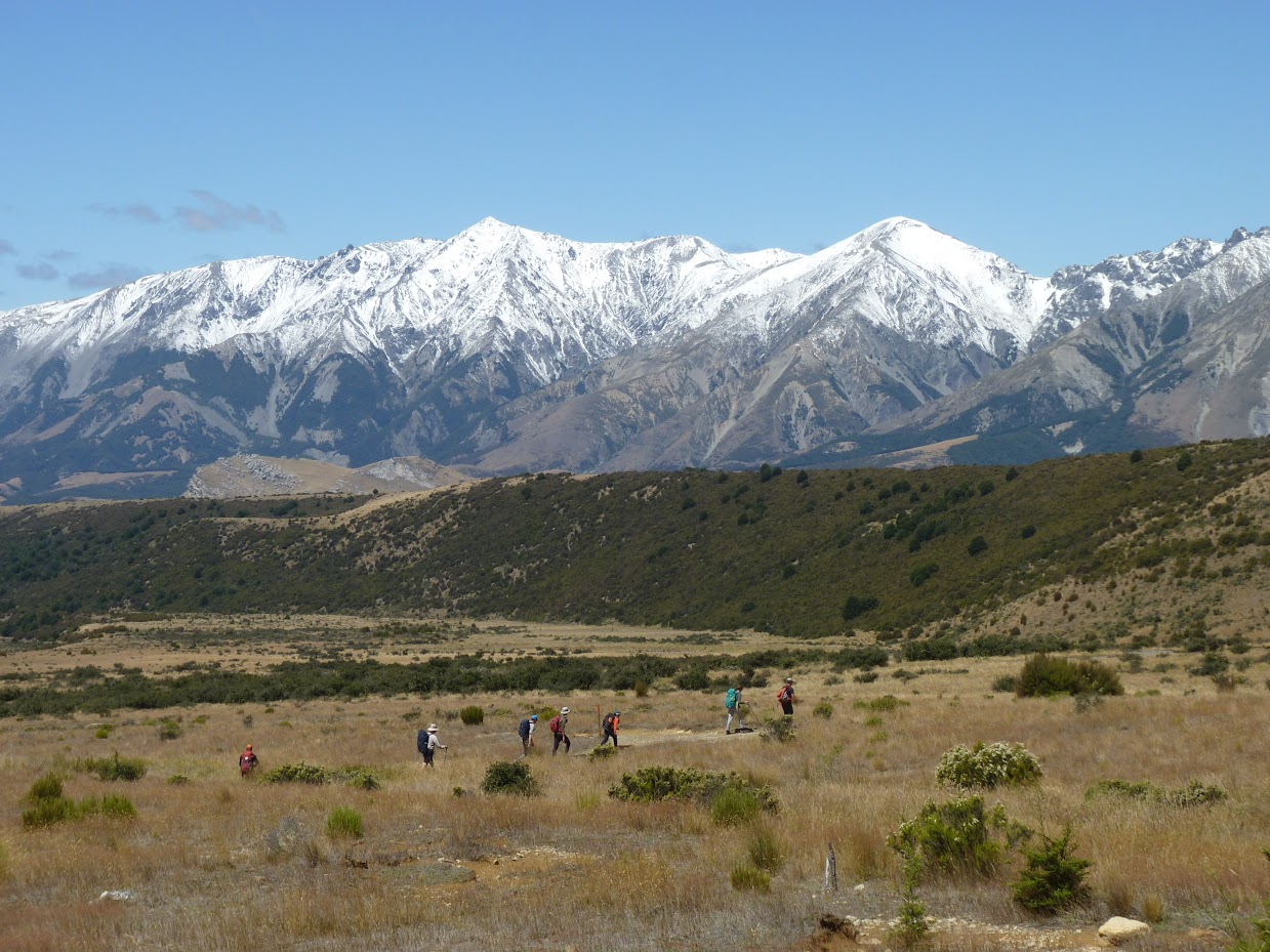
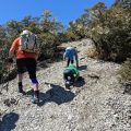
The trip attracted 9 participants, including me and a couple of prospective members. We arrived at the Hogs Back carpark at about 9:15 AM. Both the Torlesse Range and the Craigieburns were covered in a fresh dump of snow from about 1500 m higher. About half an hour later, we found ourselves slogging up along Long Spur, which was unforgiving, just a long steady way up. It was quite clear that the snow was melting as we were climbing. We reached the top at 12:15 PM, had a quick lunch, and started our descent. The plan was to drop down to Long Creek, which we did in two parties: one branched off from the main spur quite early, my party followed the ridge for a bit longer before dropping down. The main problem is a ravine that goes from the creek up quite high, somewhere between the top of Mt. Cloudsley and pt1855. The first party went down before the ravine; my party went after the ravine. I think that the best option, though, is to go all the way to pt1855 and keep going down along Long Spur to the contour 1700 m (more or less) and take a scree from there directly to the creek through a tree opening. Daniel took a wee tumble and ended up with some not-too-bad-looking scratches. Not too bad, but apparently he stopped at the edge of the ravine and could have ended up much worse off.
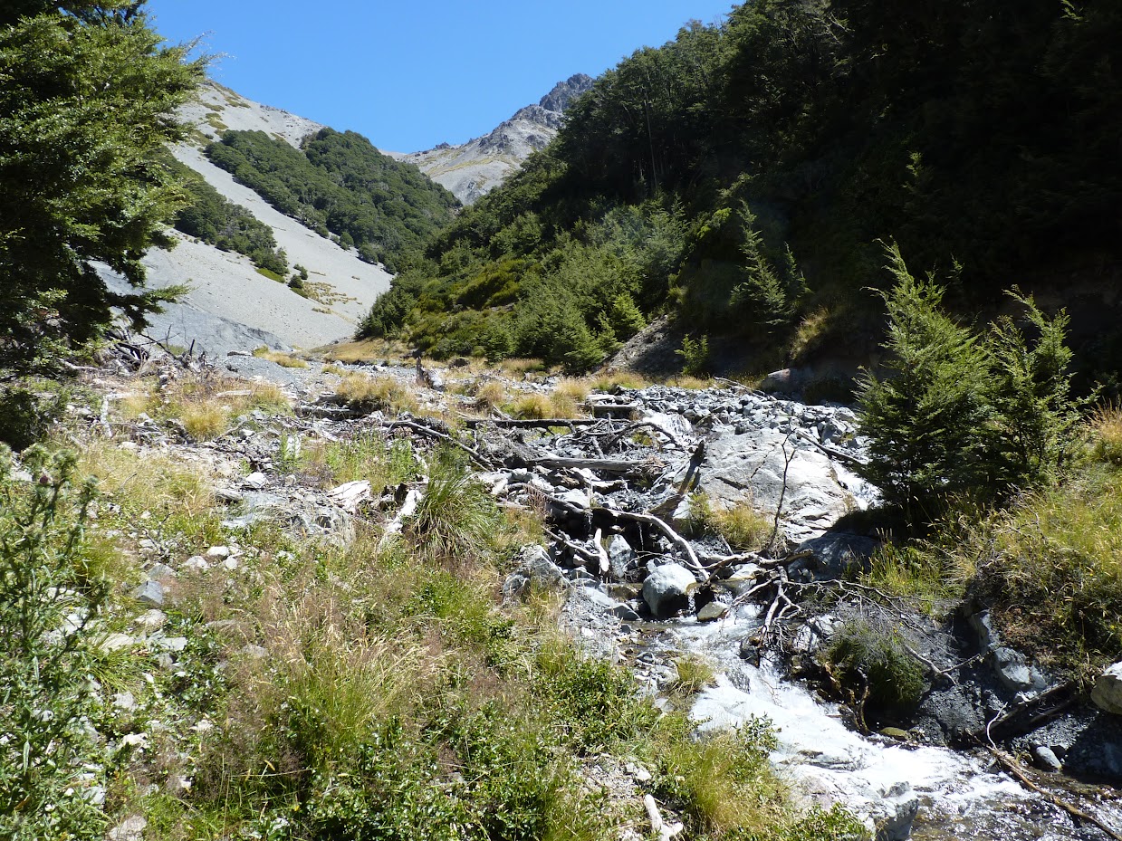
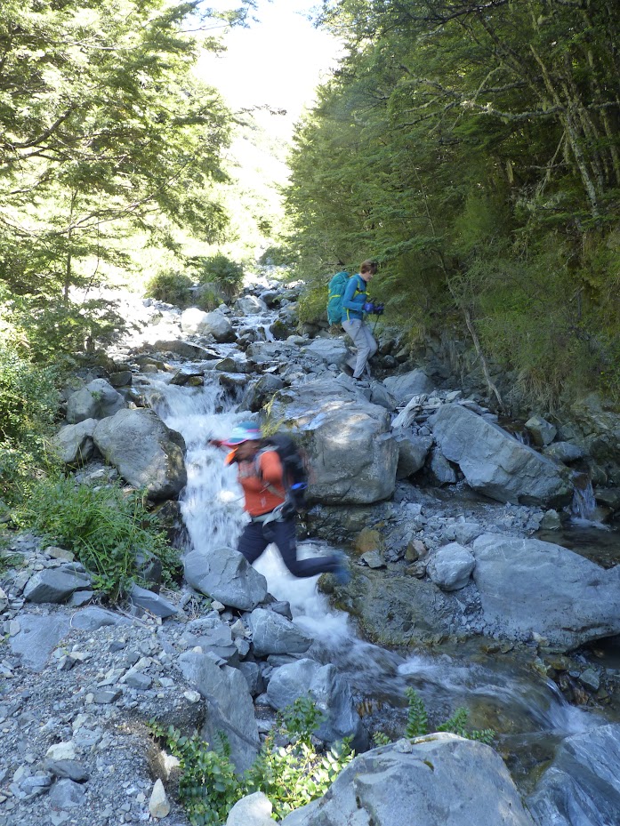
Traveling in Long Creek was quite fun; most folks got wet feet, but I managed to boulder-hop without a problem and reach the Hogs Back track with dry feet. Once on Hogs Back, it’s just about 30 minutes back to the cars.
Stats: 13.7 km, 6h, 1400 m ascent
Participants: Michal Klajban (leader, scribe, GPX, photos), Carmela Terrobias, Phillip Wallis, Daniel Cordes, Byron Harvey, Shana Dooley, Nicolas Y-p Dubois , Henry Braybrook, Jonathan Carr
Tramped on 11th February 2023.
The route taken on NZ Topo Map.
Photos

Map
Max elevation: 2102 m
Min elevation: 753 m
Be the first to comment on "Mt Cloudsley, down via a scree slope to Long Creek"