| Hike Facts | Recommended Guide | |
|---|---|---|
| Distance | 11 km |  |
| More info & map | See the page with essentials | |
Terrain: This stage is hilly with lots of waterfalls and plenty of streams to drink from. It’s very well marked but you need to know where to go since the signs don’t say ‘Reykjavegur’ but only local names (follow signs to: Dyravegur / Dyradalur, then Sleggjubeinsdalur). There is a free hut, Múlasel, at the end of the stage.
Beginning at the crossroad beside the road to Nesjavellir Geothermal Power Plant, we started to climb a volcanic slope. It was interesting to see a geothermal power plant as I hadn’t seen one before, but an unusual place to start a long-distance hike. At the end of the trail I found out that there is a geothermal power plant too. It basically goes from a power plant to a power plant!
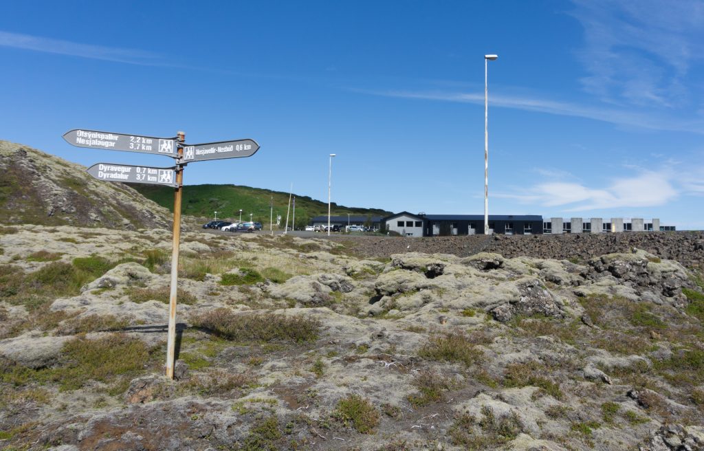
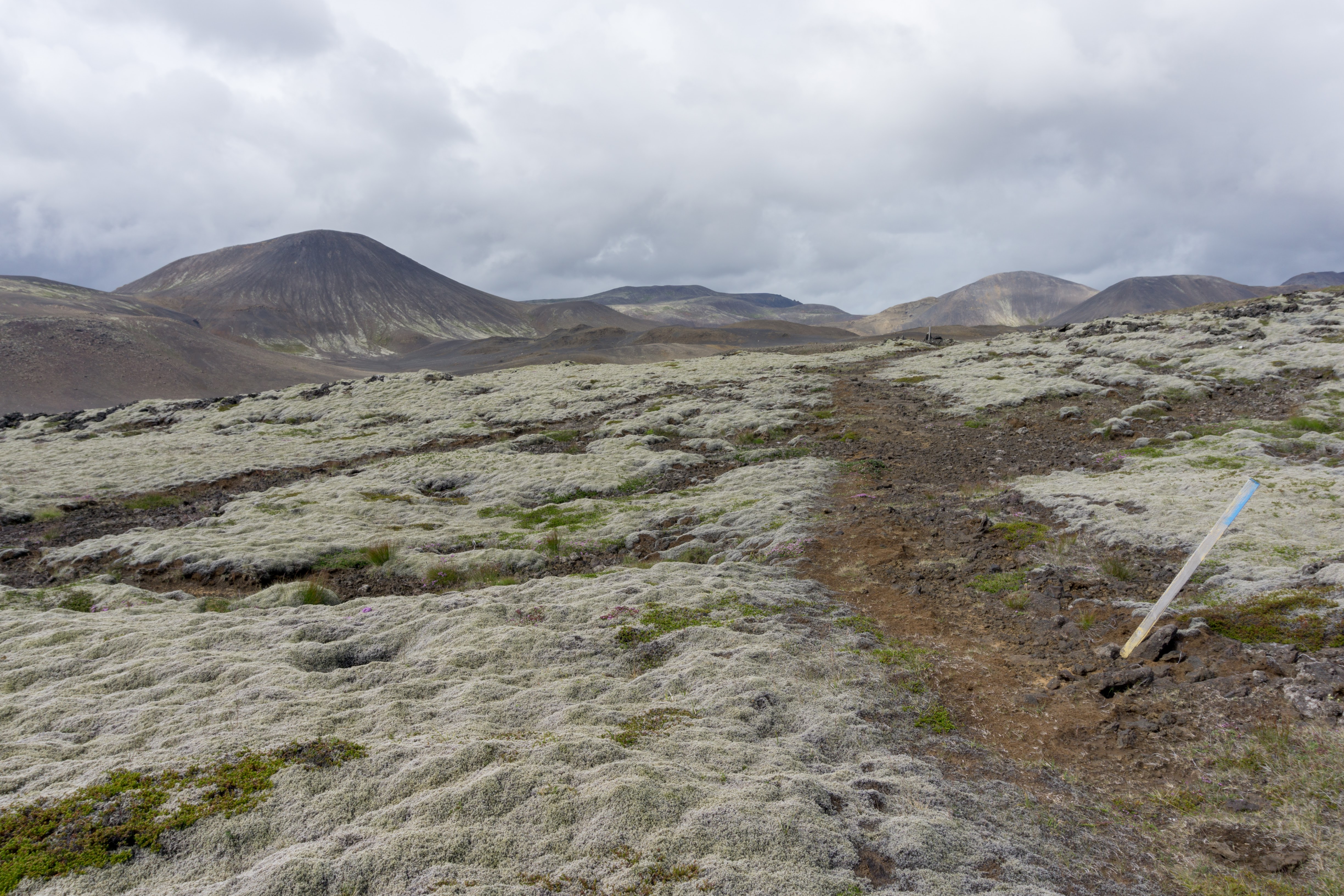
Start of the trail
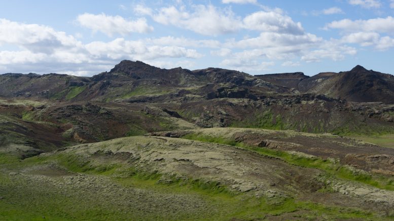
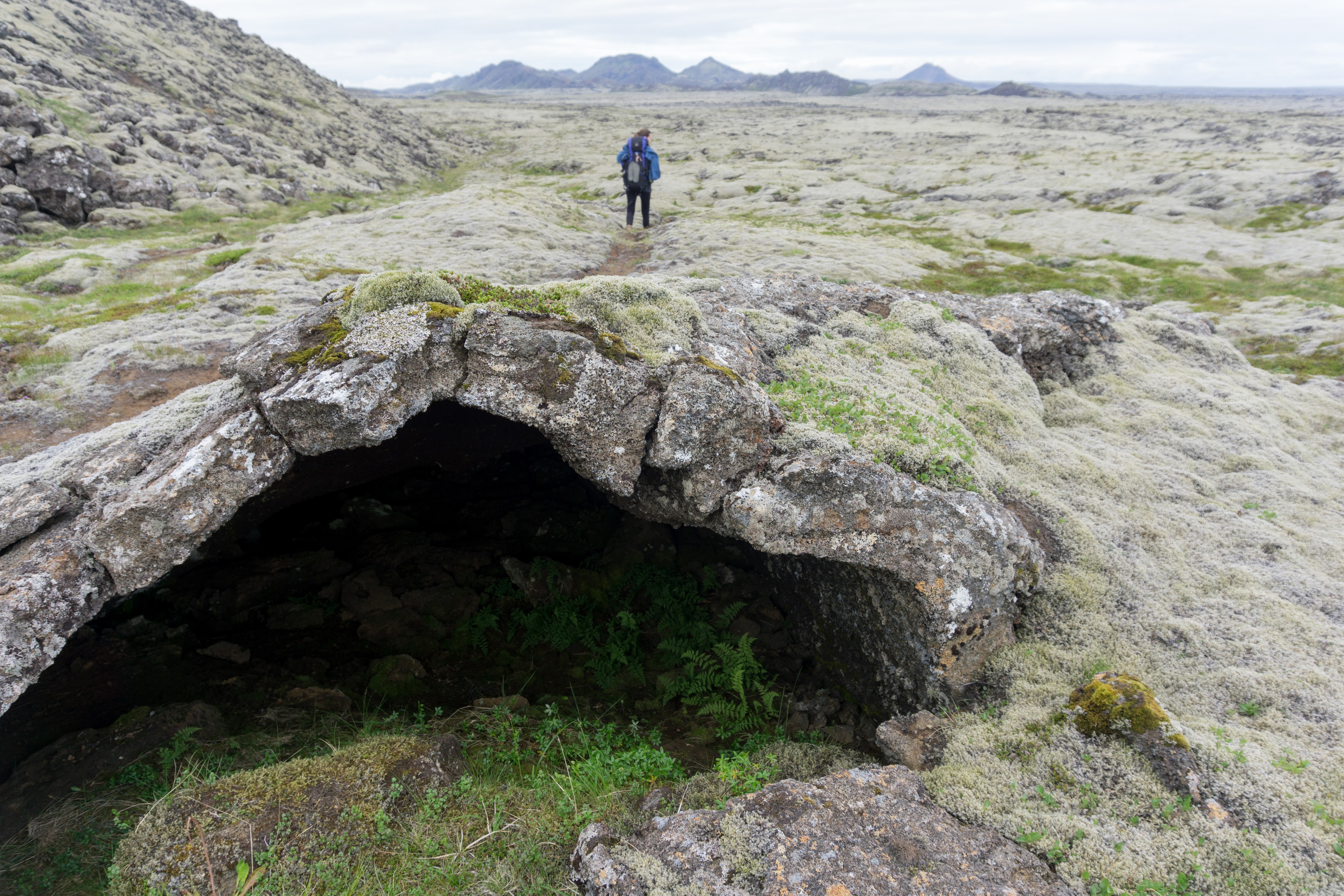
The trail led us along the west part of Hengill, a local range where lots of trails were built by a local power company. I guess it’s a cheap way of improving the company’s public image because laying thick tubes right in the middle of the wilderness is not something the public would normally welcome. Nevertheless, I found the marking of this stage the best of the whole Reykjavegur Trail.
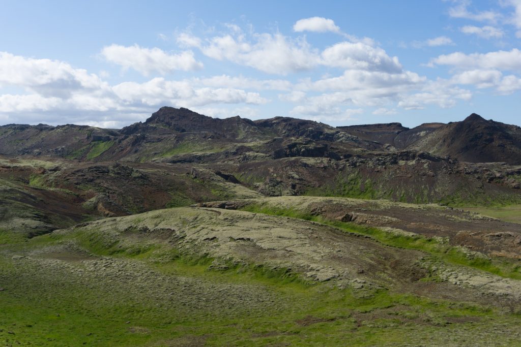
The landscape was full of waterfalls and small streams which was great because we didn’t have to carry any water with us. We reached Múlasel, a freely accessible hut, in only about 3 hours. The hut was very nice and clean with soft mattresses (nothing fancy that you’d find on unclutterer), a dry toilet in a separate outhouse and a stream just down from the hut. We were so stunned by how nice it was that we ended up staying two nights.
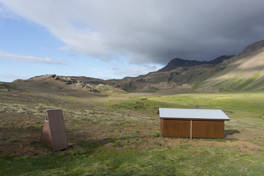
Hut Múlasel
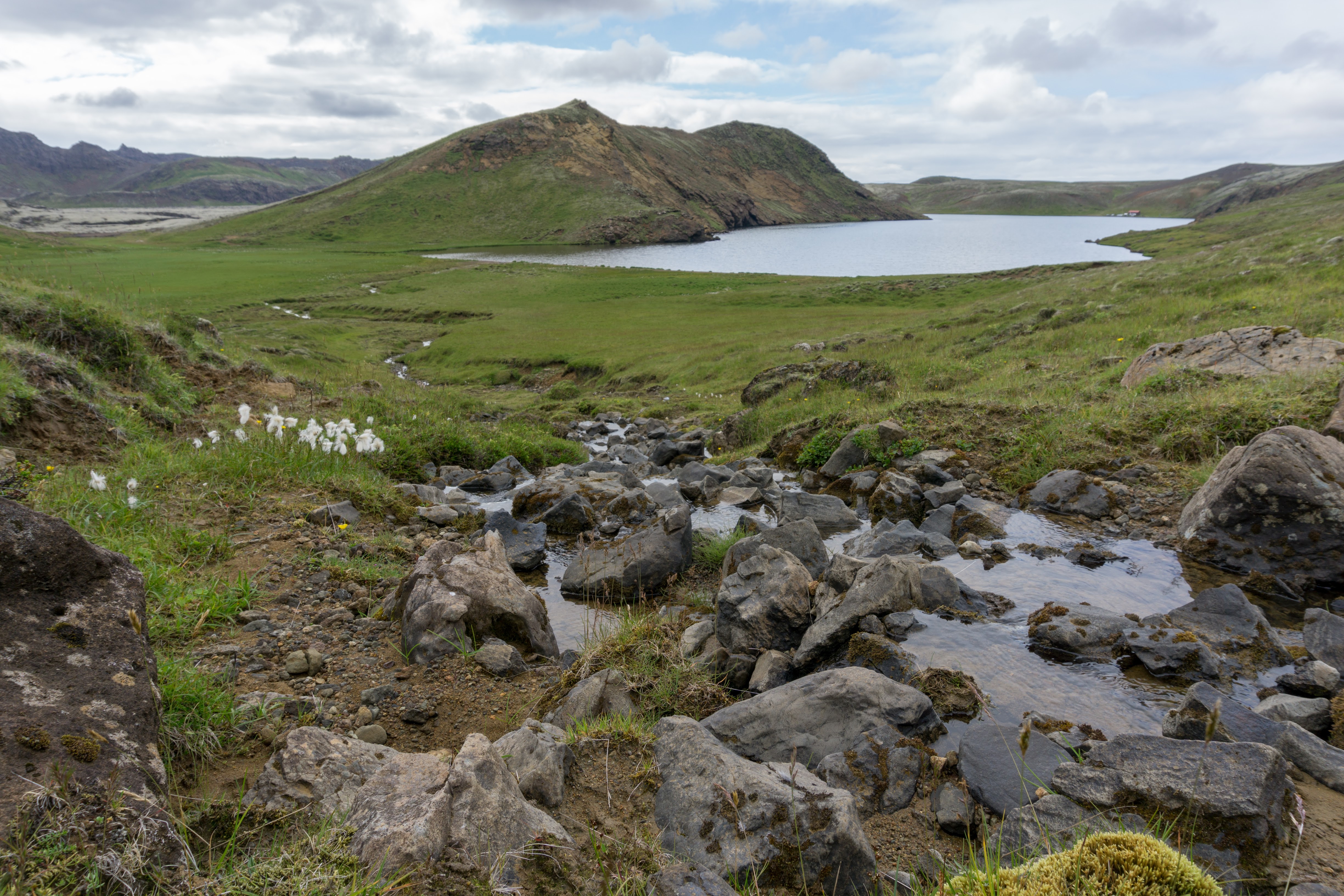
If you have time, it might be worth it to have a wander around for a couple of days. The local trails are well marked, the landscape is breath-taking and there are hot pools and warm rivers in nearby valleys.

Surroundings of the hut
Hello,
is the Reykjavegur feasible in the second half of june?
I think it is. Just might be a bit rainy 🙂