| Hike Facts | Recommended Guide | |
|---|---|---|
| Distance | 12 km |  |
| Ascent | 500 m | |
| Estimated time | 4 hours | |
| GPX files & profile | See the online map below | |
| This is a section of | Mývatn – Ásbyrgi Trail | |
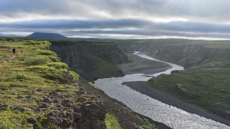
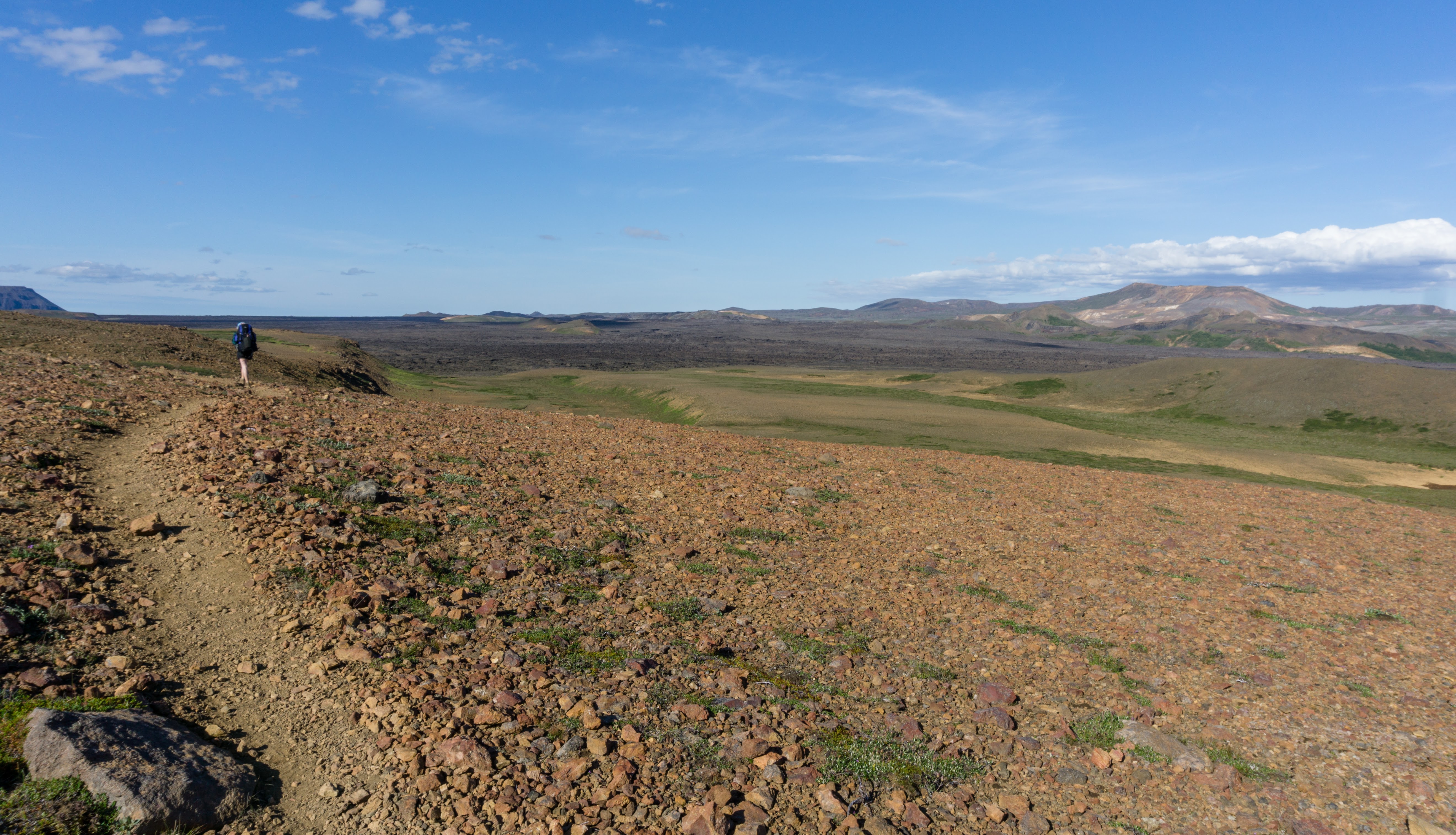
Terrain: Easy trail along an astonishing canyon and its side gorges. Well marked with water in the beginning and the end.
Vesturdalur is a lovely place full of trees and water. Once you leave it, the landscape becomes a bit more mossy but still quite grassy and green.
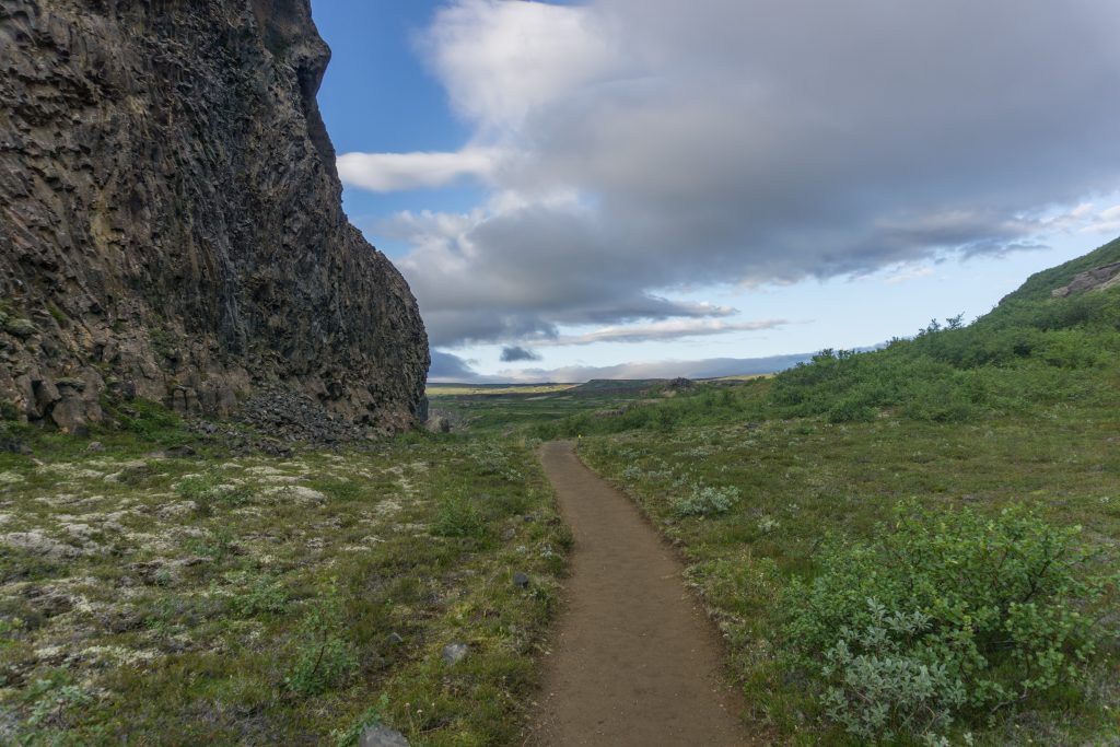
Trail highway
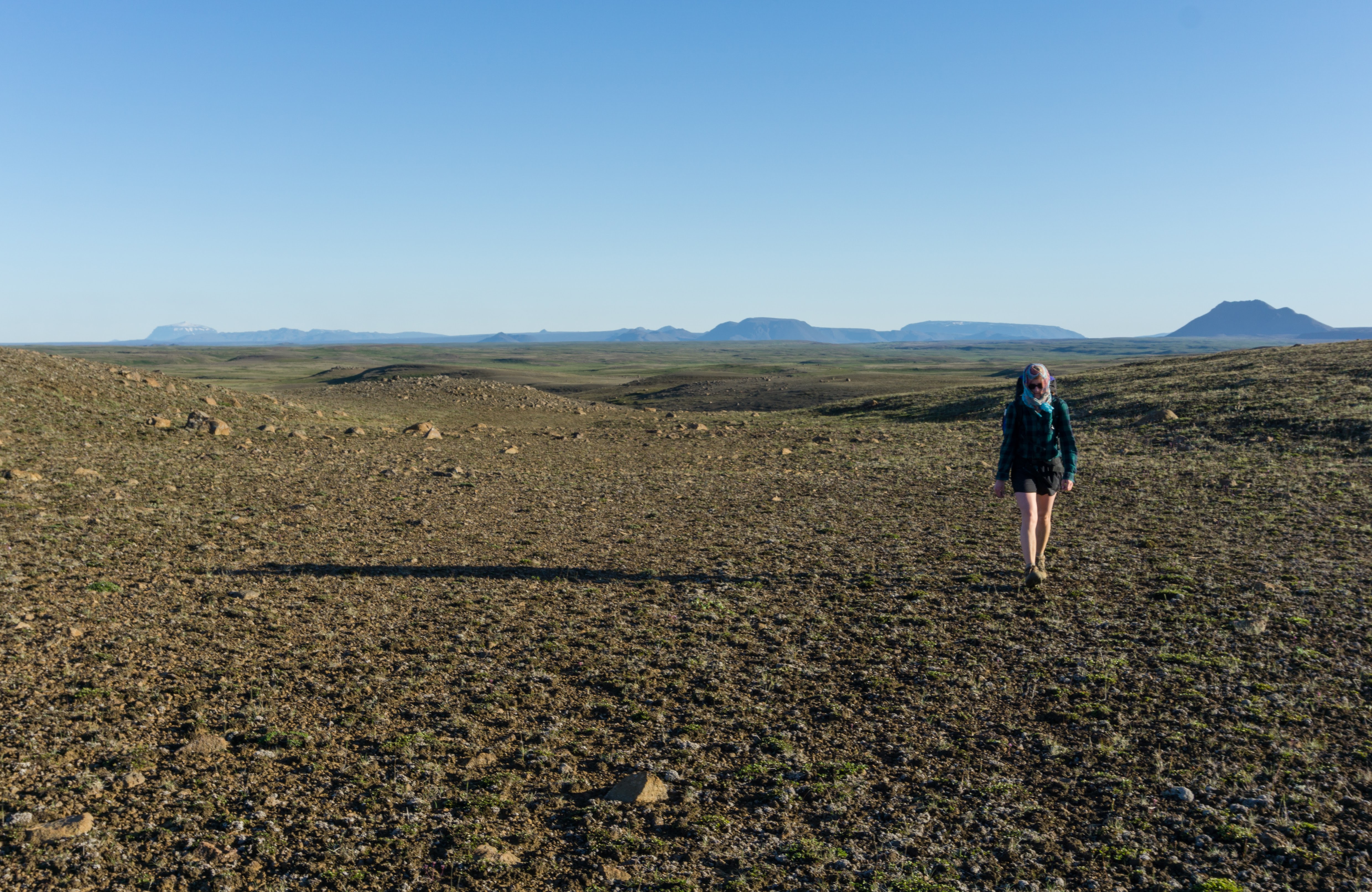
There are two variations to the Ásbyrgi trail. We chose the shorter one heading to a canyon around lake Botnstjörn. It was easy and flat with a lot of small lakes and birdlife.
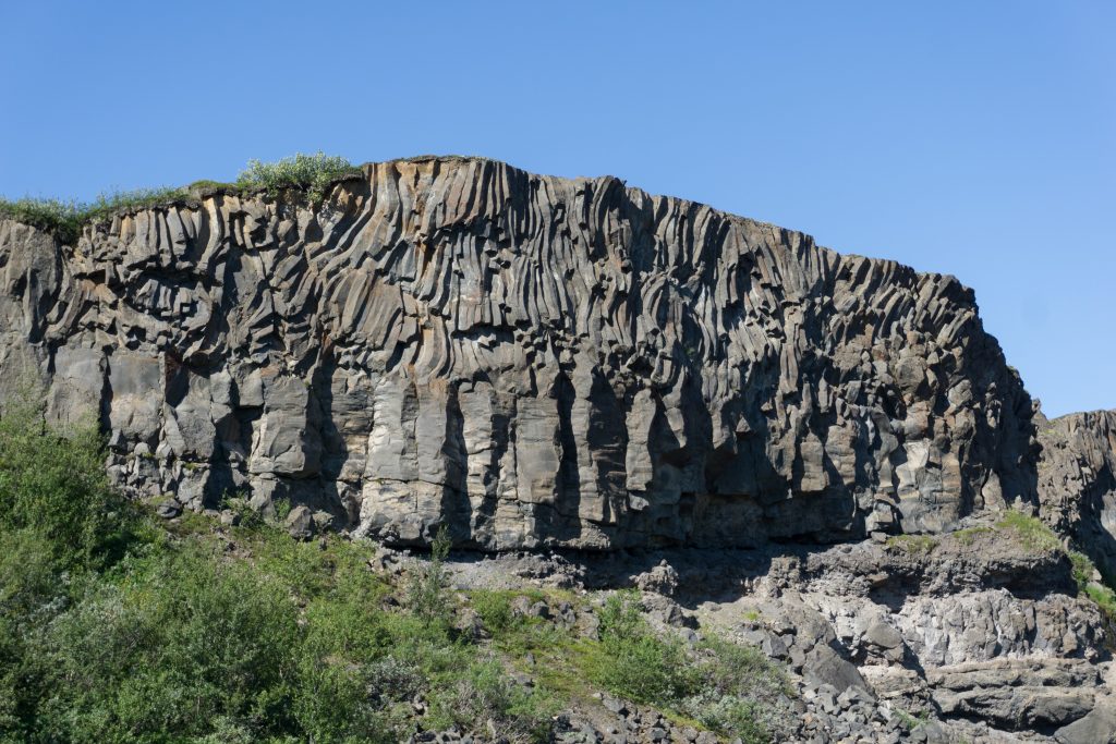
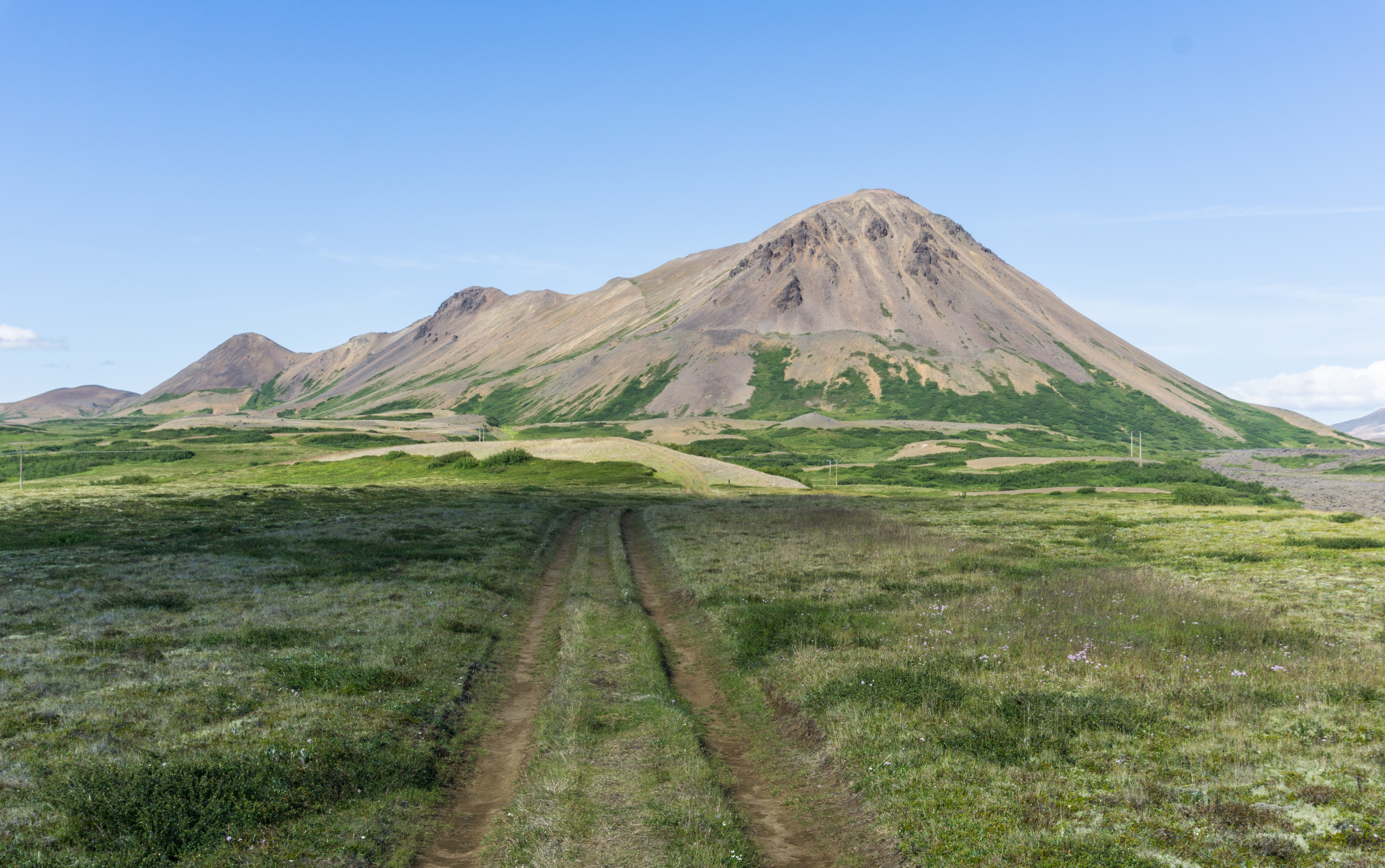
Just another awesome rock formation on the way
The shorter version turned out to be an excellent choice because the canyon at the end was absolutely breathtaking. It’s definitely worth spending more time there if you have it!
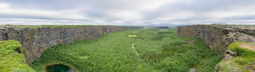
Canyon in Ásbyrgi
The information centre in Ásbyrgi was nice and modern and very educational, with free wifi, top class toilets and chairs inside where you can sit and charge your stuff.
Map
Max elevation: 197 m
Min elevation: 20 m
Be the first to comment on "On the trail from Mývatn to Ásbyrgi: hiking from Vesturdalur to Ásbyrgi"