| Walk Facts | Good book about tramping in New Zealand | |
|---|---|---|
| Distance | 18 km |  |
| Ascent | 900 m | |
| Estimated time | 7 hours return | |
| Hiked on | 11th July 2019 | |
| Map & GPX files | See the online map below (with GPX download) Open the track at NZ Topo Maps |
More books about tramping in New Zealand |
There are quite a few ways how to reach Mt Herbert. One of the most pleasant ones is to get to Lyttelton, take a ferry across to Diamond Harbour and follow Herbert Walkway all the way to the top and back. That’s what we did.
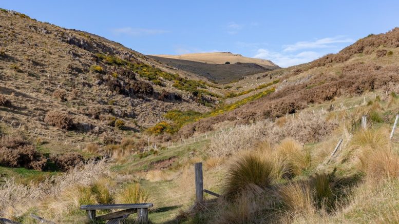
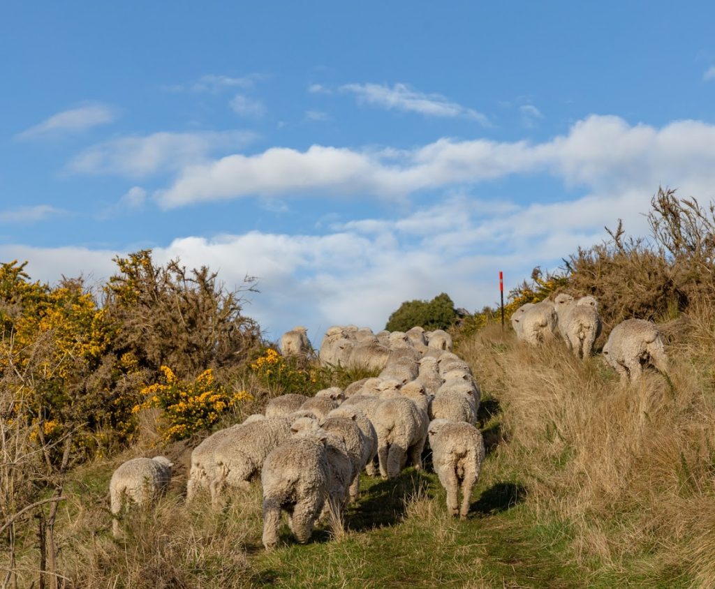
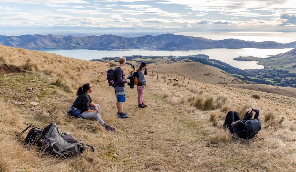
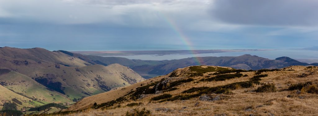
We joined up the trial on a small beach at Stoddart Point. The trail followed a small stream in a shady and bushy valley. Soon we crossed the main road and entered a farm land. The trail is well marked and easy to follow. The ascent is only very gradual and I didn’t even had a chance to notice and we had great views across Lyttelton Harbour.
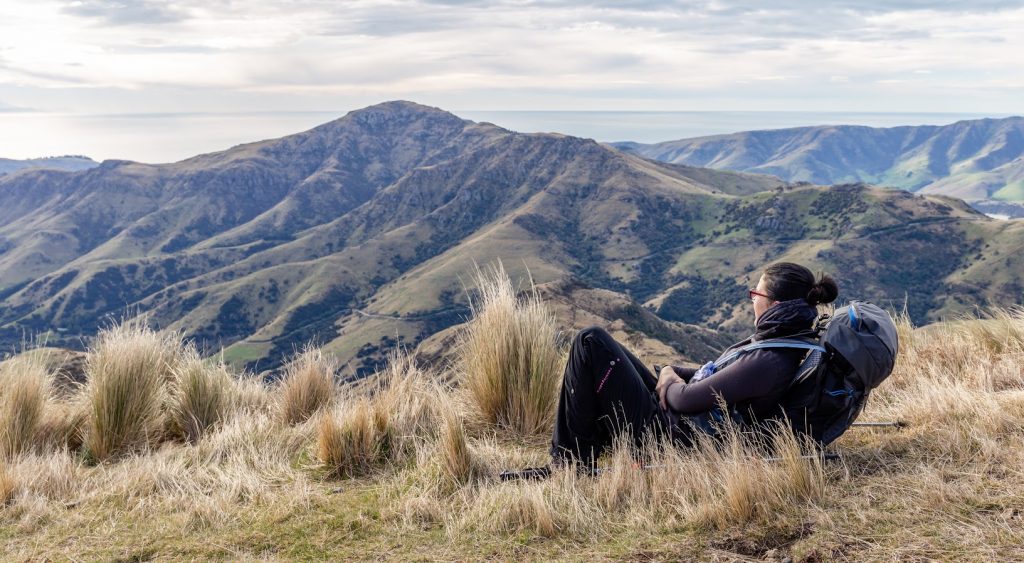
It took us about 3 hours to reach the top of Mt Herbert. There isn’t any shade and it’s exposed to elements so I wouldn’t recommend to hike it on sunny days. I can imagine that it gets really hot up there. After we reached the top, we descended to a three-wall Mt Herbert Shelter to have a lunch. The shelter is located on the Western slopes of Mt Herbert and it’s a very nice place to have a break.
From the shelter, we decided to follow the trail do Diamond Harbour the same way as we came up. Just to keep it simple and easy. More interesting would surely be to take a path along Te Wharau stream but we’d have to walk 5km along the road to finish the loop or have transport sorted which we didn’t. Stoddard Point is a lovely place to hang out – ideal after a day in the hills.
Map
Max elevation: 916 m
Min elevation: 10 m


Mt Herbert is THE classic Banks Peninsula Tramp. If you are a tramper and you live in Christchurch/Canterbury you need to visit. Fantastic views of Lyttelton and the Canterbury Plains.
I know right! I’ve been there many times but I never mind going up again 🙂
Hi Michael do you know if the Mt Herbert track will be open today. Says online could be closed for lambing as I know lots of lambs are about at the moment, but my friend hiked it 2 weeks ago mid-late August.
Hi Sam, the DOC site says that it’s closed for lambing between 8 August – 15 October, see https://www.doc.govt.nz/parks-and-recreation/places-to-go/canterbury/places/banks-peninsula-area/things-to-do/te-ara-pataka/mt-herbert-walkway/