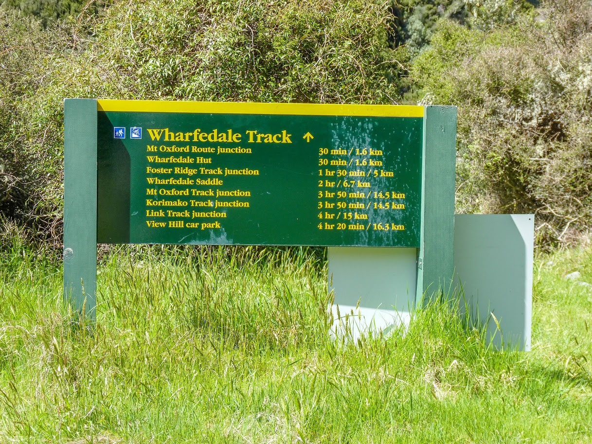
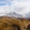
The weather forecast was poor for that weekend, so I decided to visit Black Hill Hut, which is reasonably sheltered and reasonably far from the Main Divide where the rain usually hangs out. I drove to Wharfedale car park, but at the ford a few kilometers before the car park, I realised that it was impassable this time. I ended up driving all the way to Lees Valley, which seemed like a good idea at the time. However, looking back, I should have just parked my car by the ford and walked up to the car park on foot. It would have been more time-efficient.
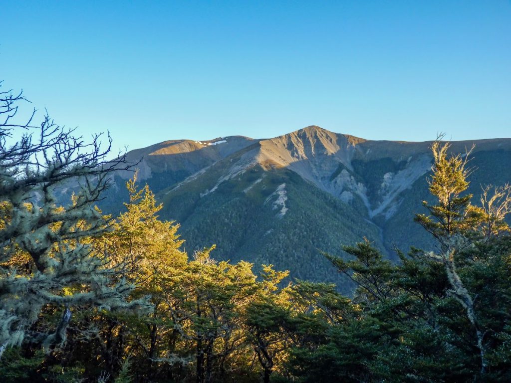
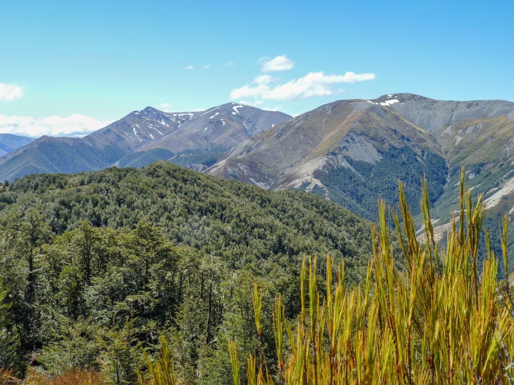
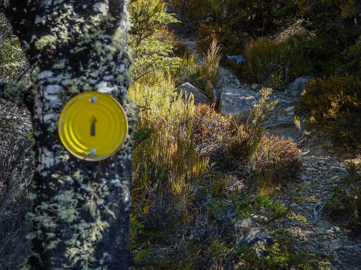
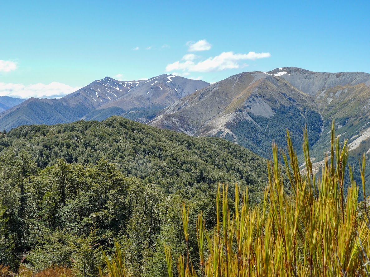
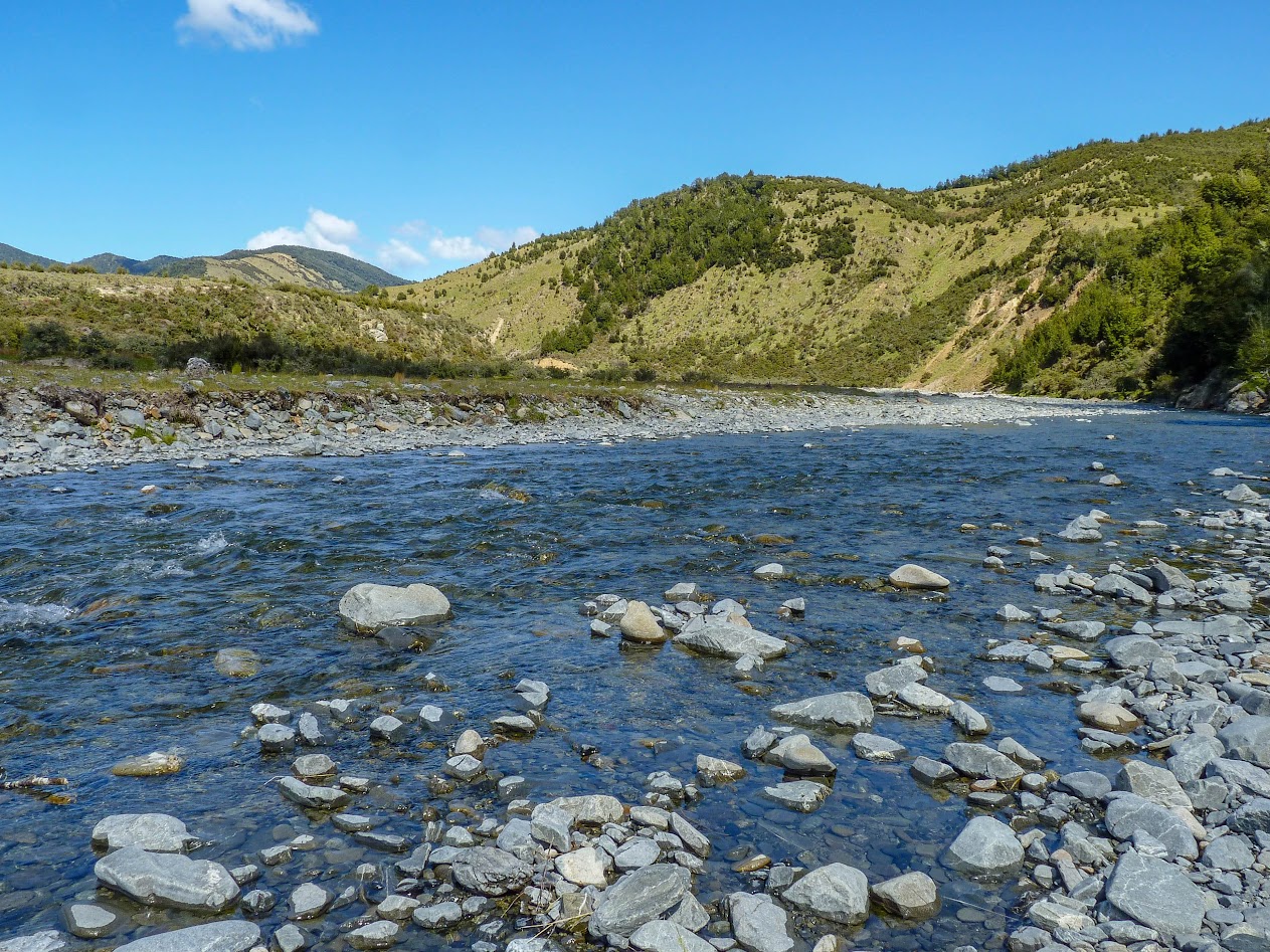
Anyway, it was good to see the track from Lees Valley. Monika B. from the CTC told me to take headphones if I ever go there alone, and I knew exactly what she meant when I was walking. The track was quite dull and long, but it got much more interesting from the bridge over Dobson Stream. It followed the ridge of a beautiful beech forest all the way to Black Hill Hut. When I reached the hut, it was still quite early, so I thought, “Why not visit Lower Salmon Creek biv?” I wasn’t sure if I’d come back to Black Hill Hut, so I took all my gear with me. It turned out to be quite a mission. The track down to the biv is maintained by Honora and Frank, one of my local heroes who did a huge amount of work for our backcountry. While I’d recommend Black Hill Hut for people with kids, Lower Salmon is a different cup of tea as the track is pretty steep and rocky at places.
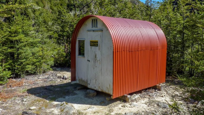
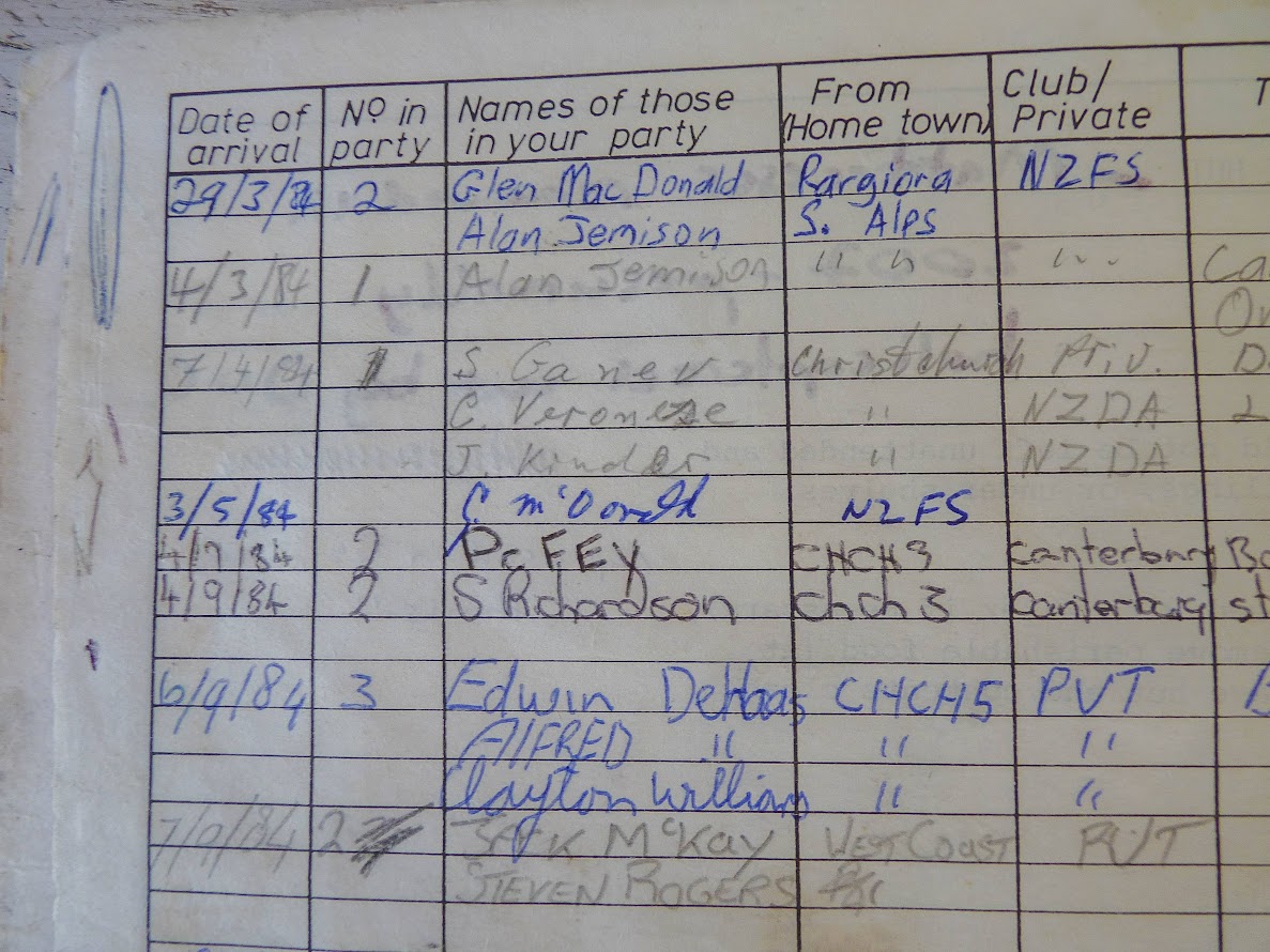
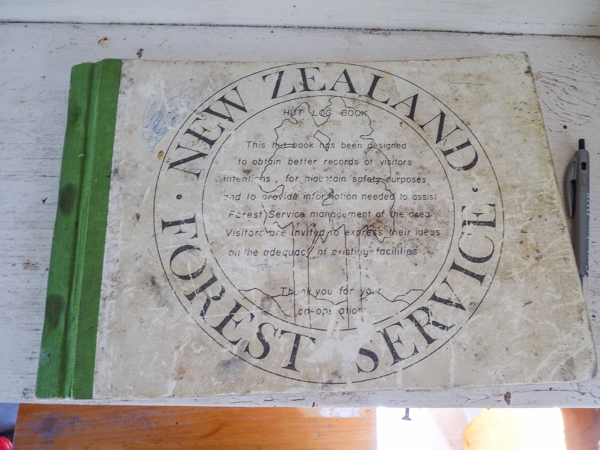
Lower Salmon Creek Biv sits on the rock cliff by Salmon Creek. I was really surprised by how remote that place felt. Good vibes were provided by loud bird songs, rushing creek, and the NZ Forest Service hut book going back to the mid-80s. I’d really like to stay here one day with my partner, who loves remote places like that. After a wee nap under a tree, I scrambled back up to Black Hill Hut and was pretty knackered after that. The day after, I woke up to a beautiful morning and bird songs. Walking back felt easier than walking in, as always!
Stats:
1st day (Lees Valley carpark – Black Hill Hut – Lower Salmon Creek Biv – Black Hill Hut): 21 km, 7 h 24 min, 1790 m ascent
2nd day (Black Hill Hut – Less Valley carpark): 13 km, 3 h 15 min, 80 m ascent
Tramped on 4-5th November 2022.
Photos
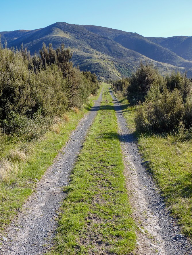
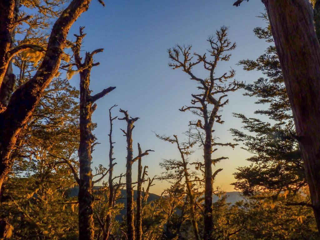
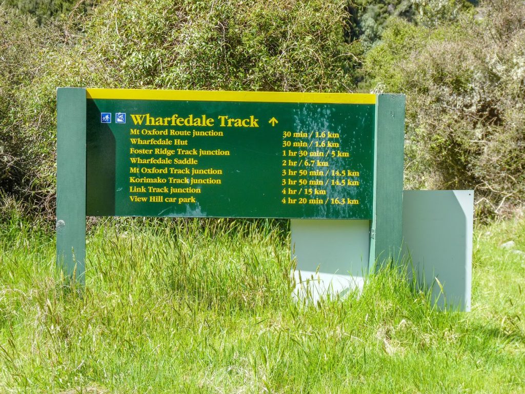
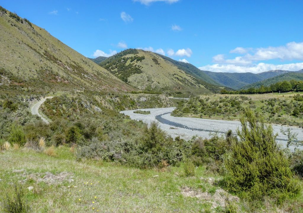
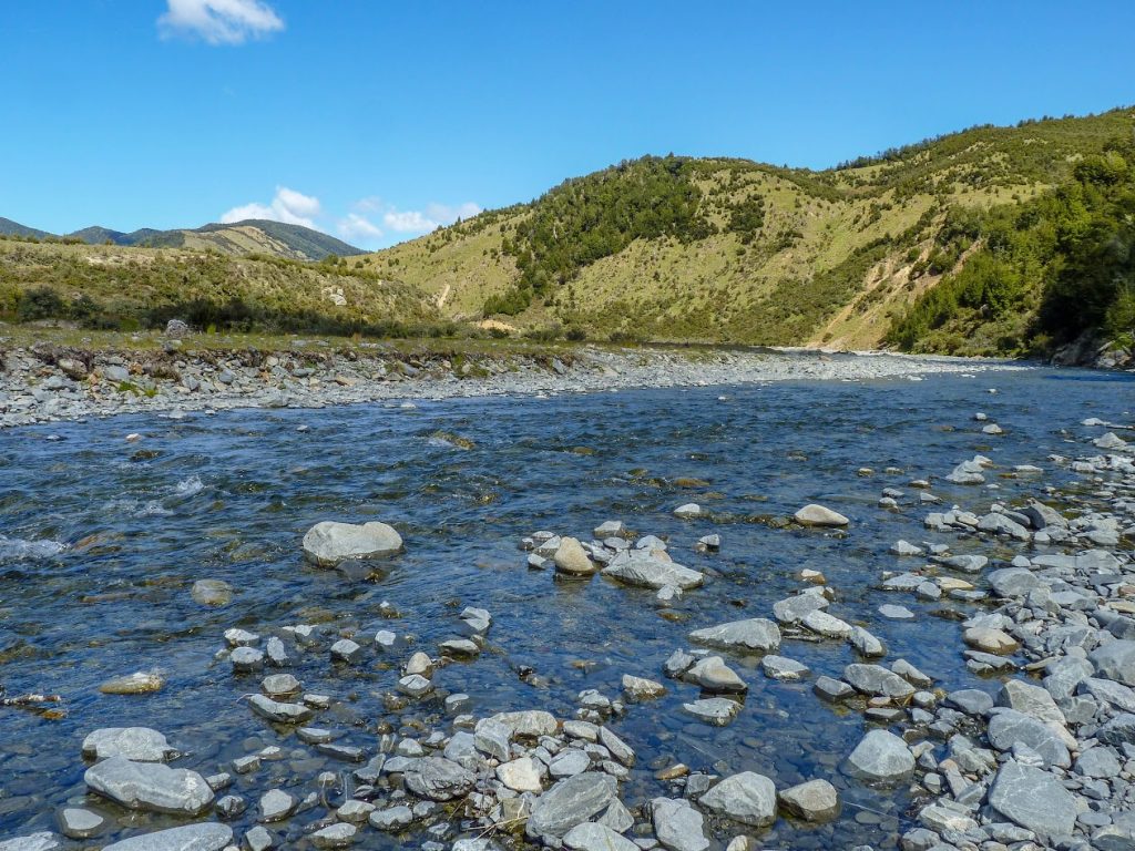
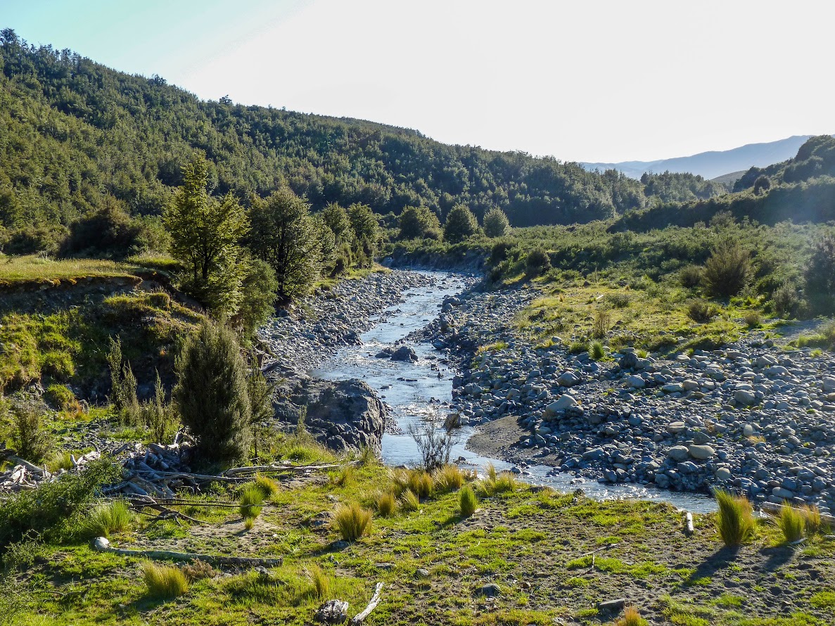
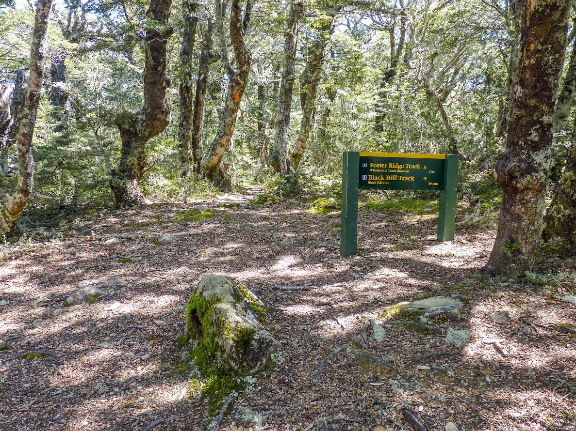
Lees Valley access track 

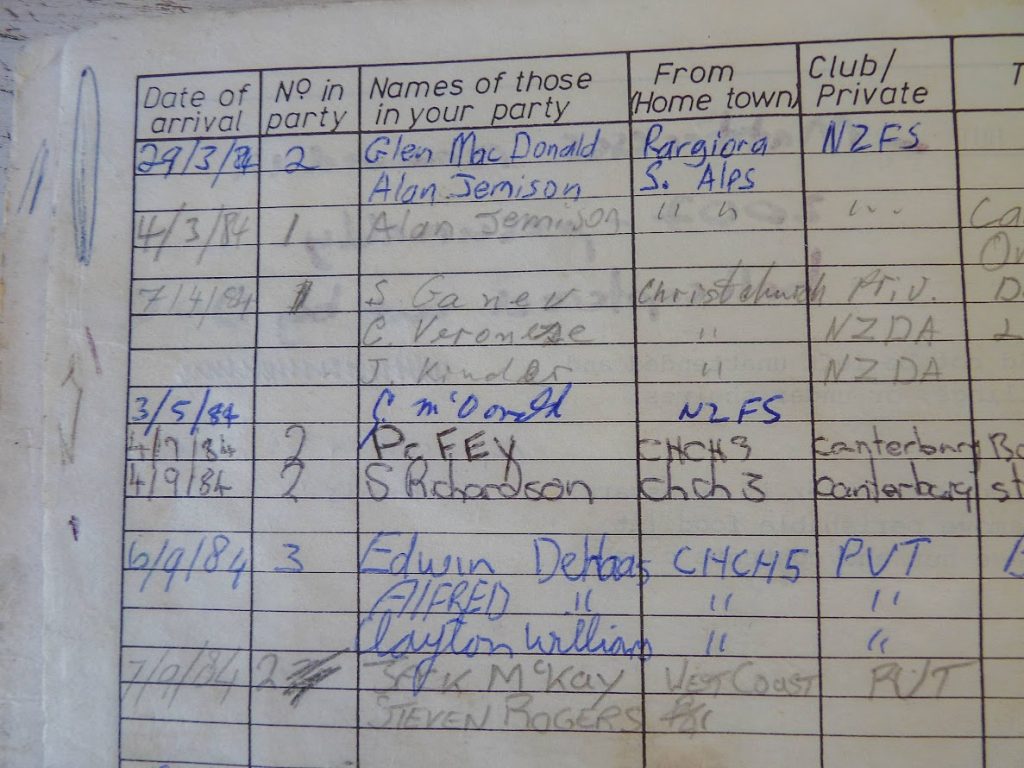
Lower Salmon Creek biv hutbook 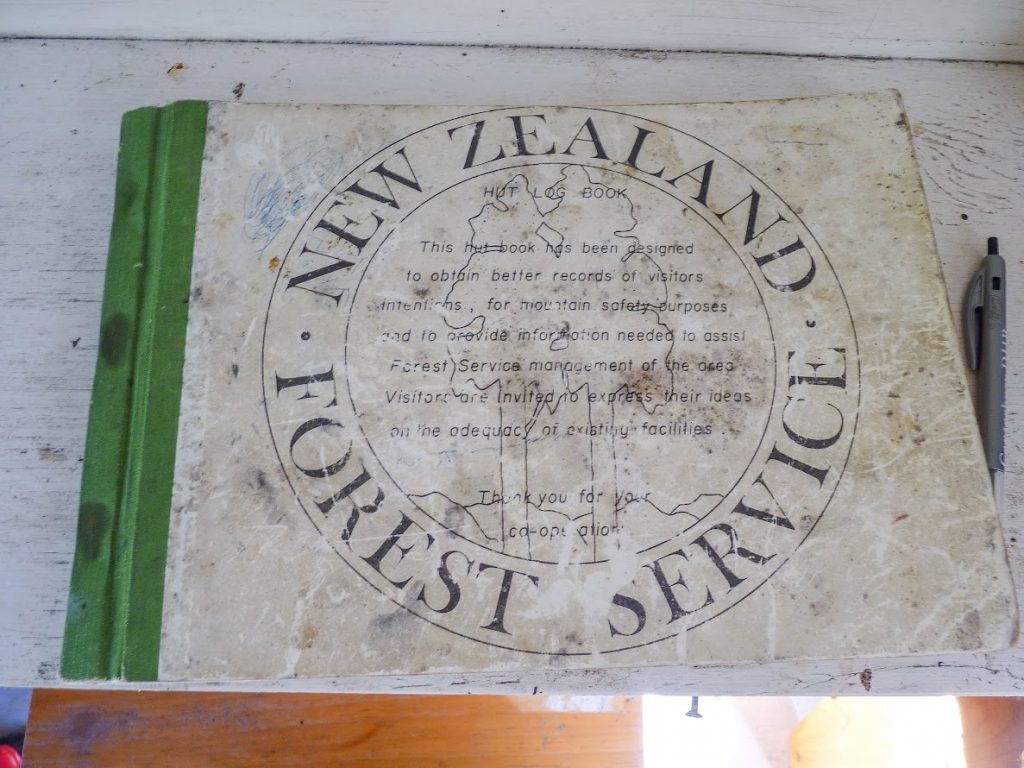
Lower Salmon Creek biv hutbook 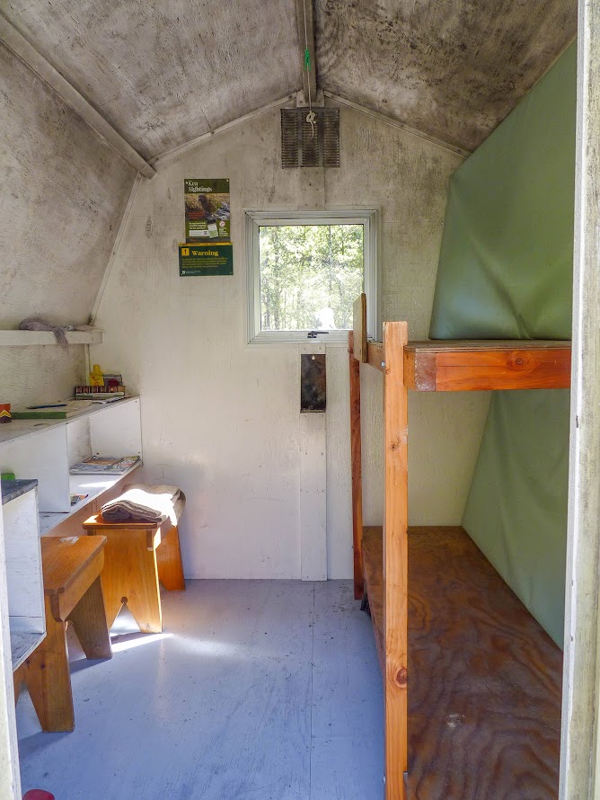
Lower Salmon Creek biv 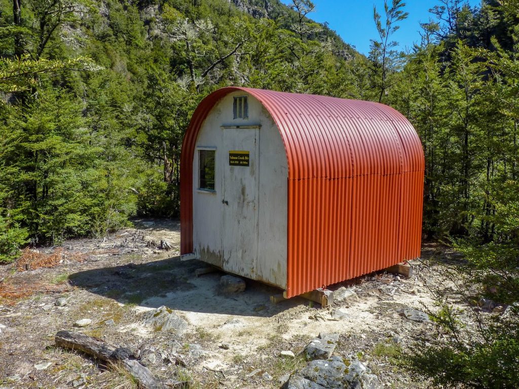
Lower Salmon Creek biv 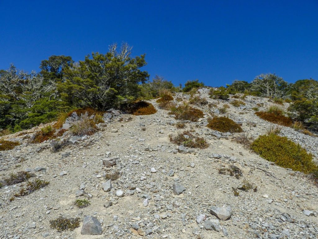

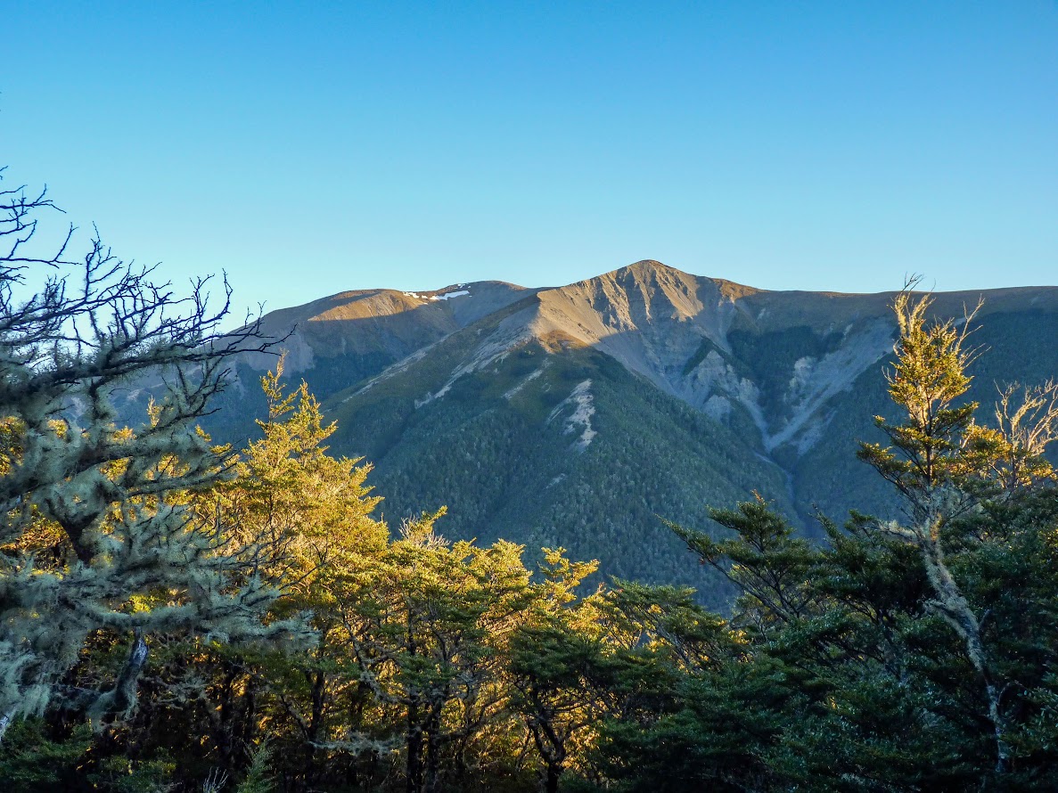
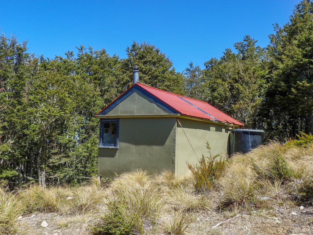
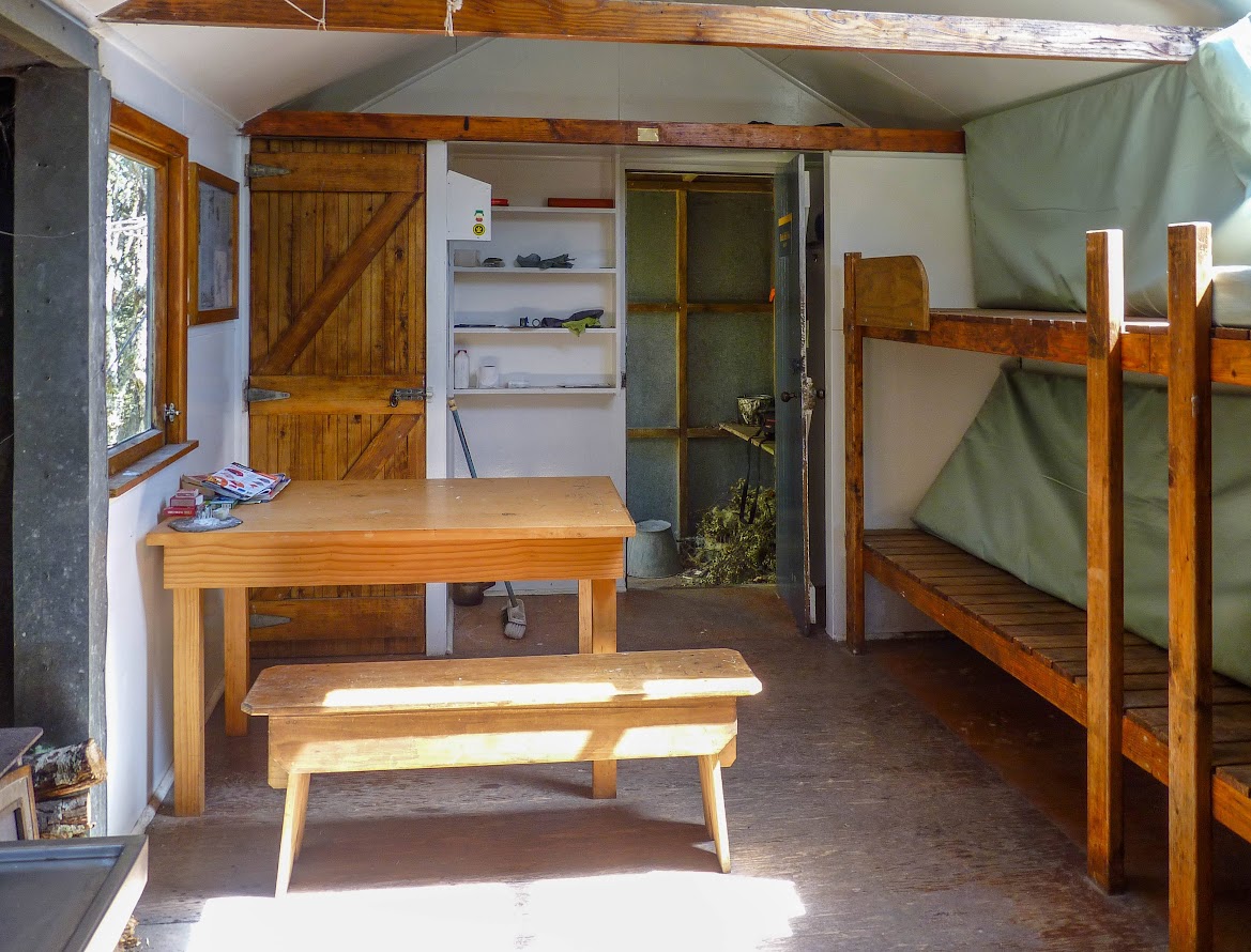
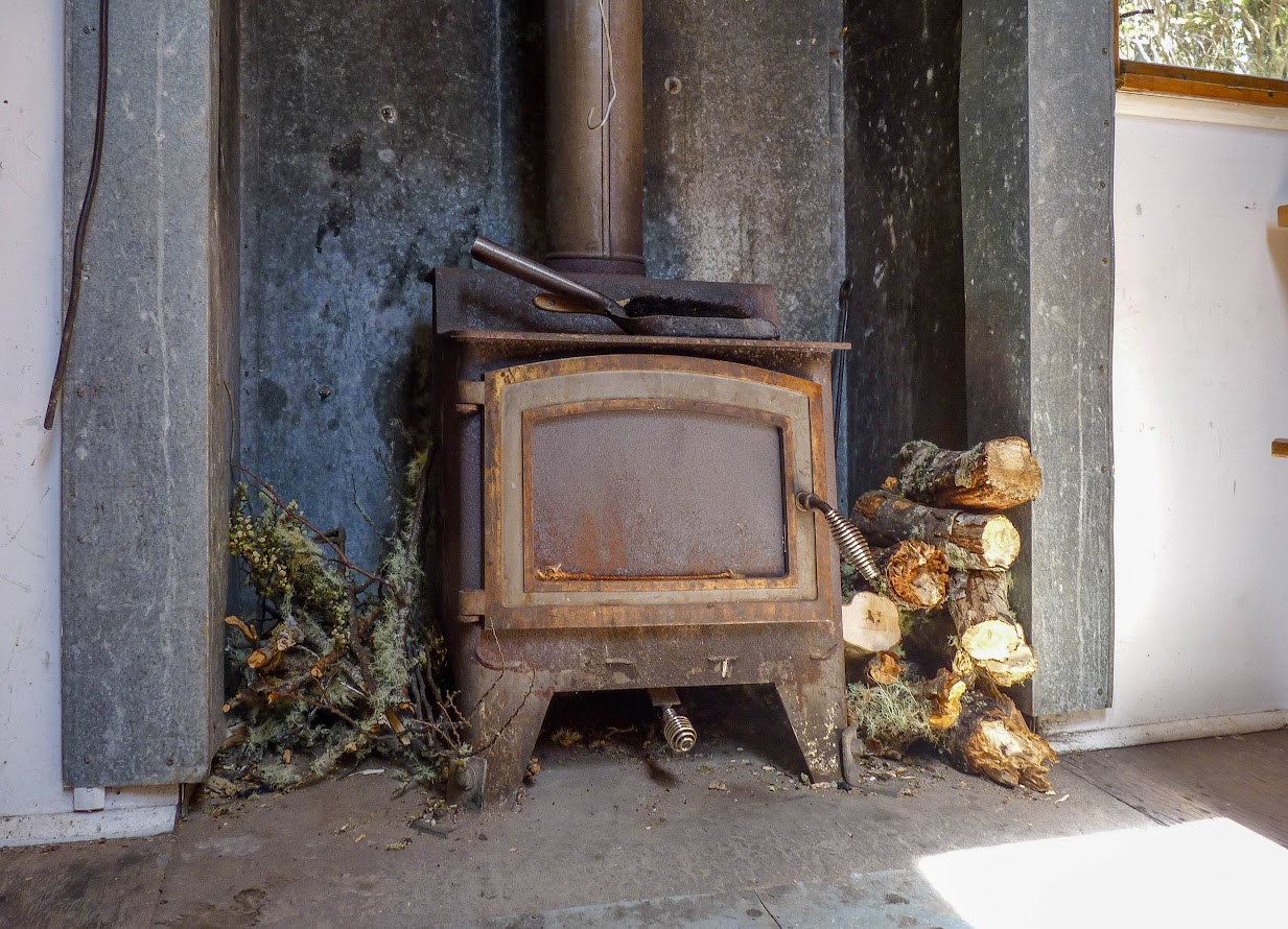
Black Hill Hut 
Black Hill Hut 
Black Hill Hut 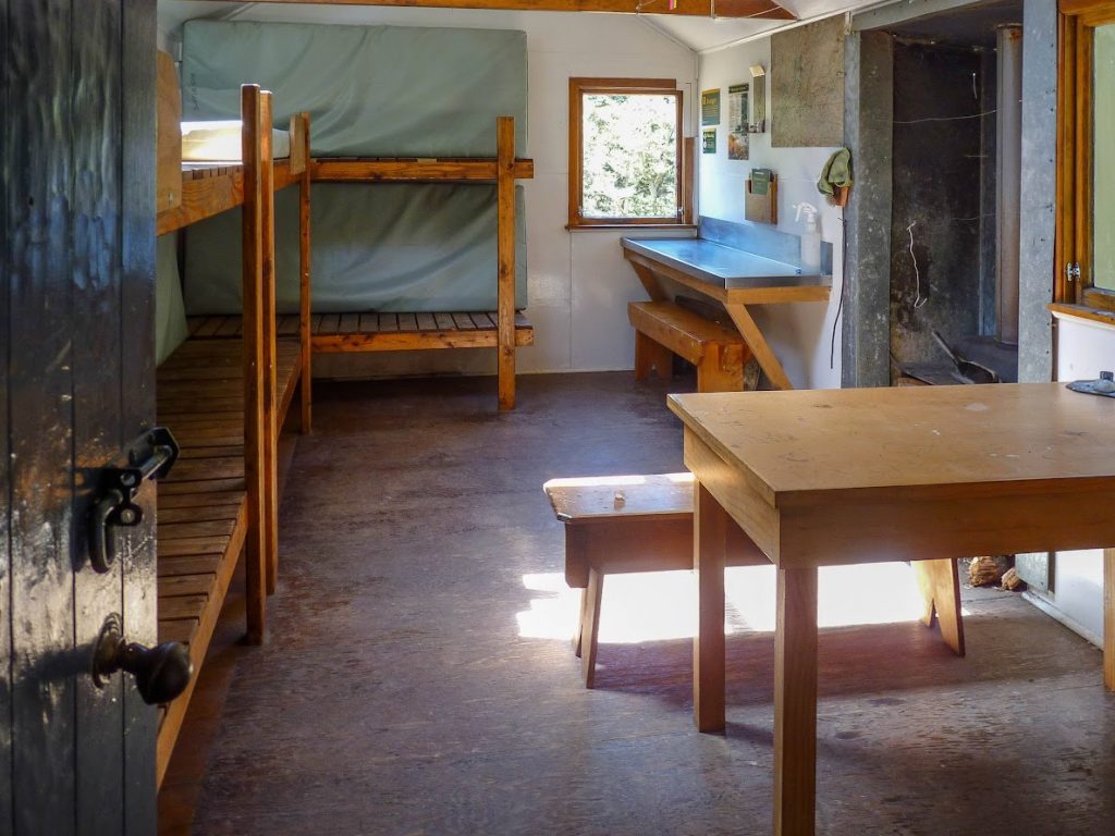
Black Hill Hut 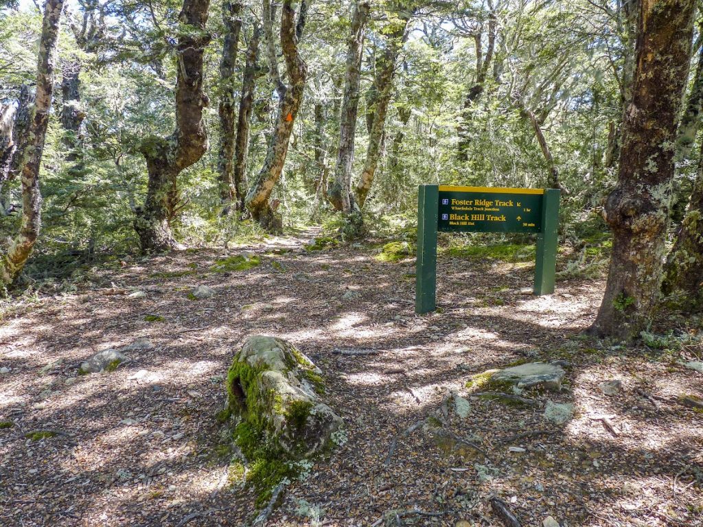


Maps
Day 1
Max elevation: 1306 m
Min elevation: 382 m
Day 2
Max elevation: 1190 m
Min elevation: 379 m

Thanks for your kind words, Michal. We’ll probably run into you somewhere, sometime if we haven’t already. We are still out there, doing the track work. Just come back from the head of the Poulter where we have 3 tracks to maintain: Ranger Biv, Worsley Pass and Poulter Gorge Bypass track.
Hi Honora, cool that you found your way here. We actually did bump into each other a couple of months ago. You and Frank were going up Ridge Track around Mt Thomas, I was going down from Bob’s Biv 🙂 I also found out about a month ago that me and Frank worked for the same employer. I met Frank in our staff room… He said he was leaving soon