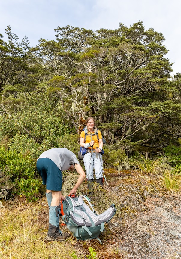
There were quite a few CTC trips over the Easter break, however all were multiday adventures with no day or two days alternative for those who can’t get away from Christchurch for too long. I put up a trip up to Lewis Tops just a few days ahead and to my surprise another 9 CTCers signed up. So, this is how it went:
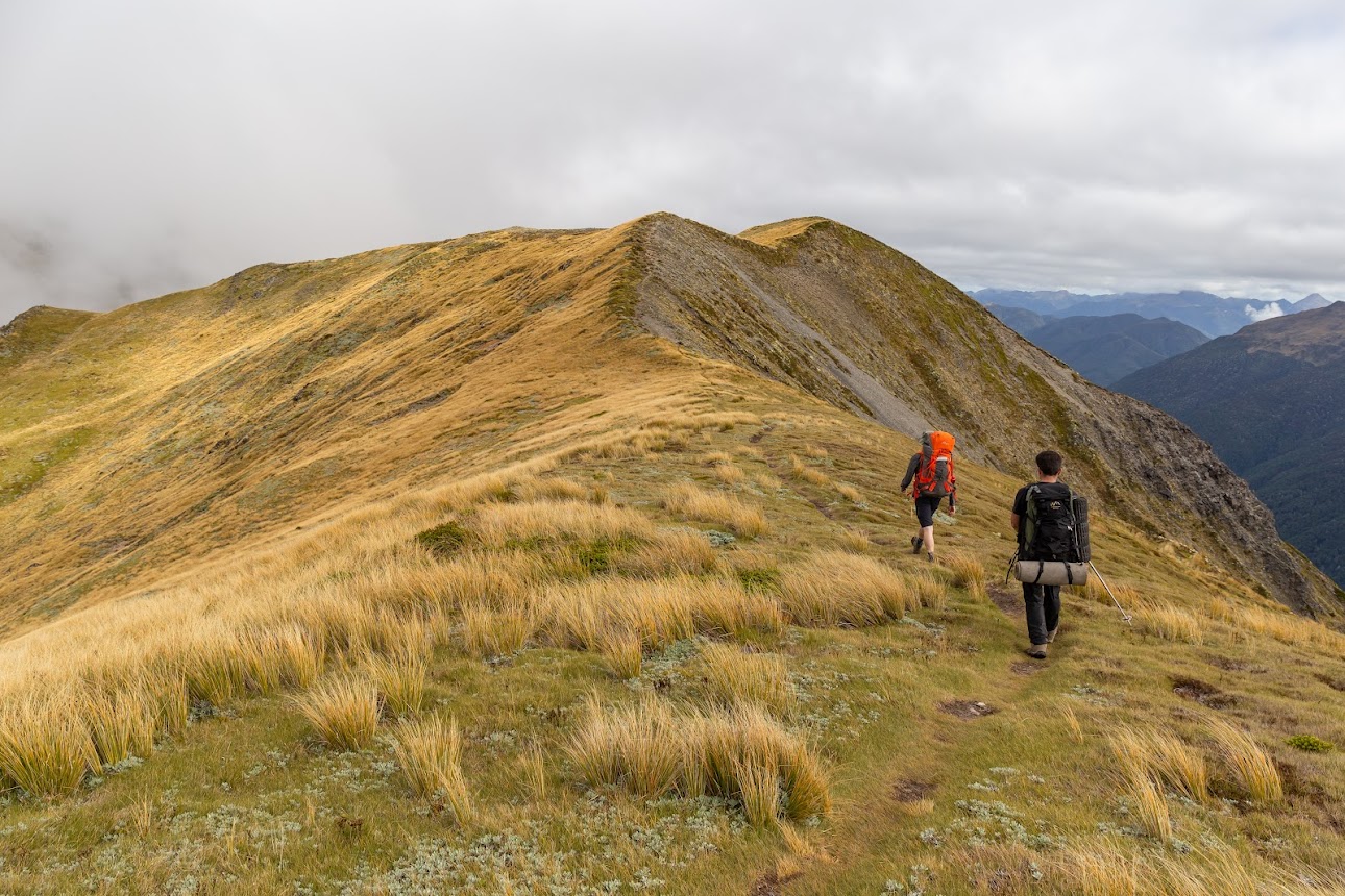
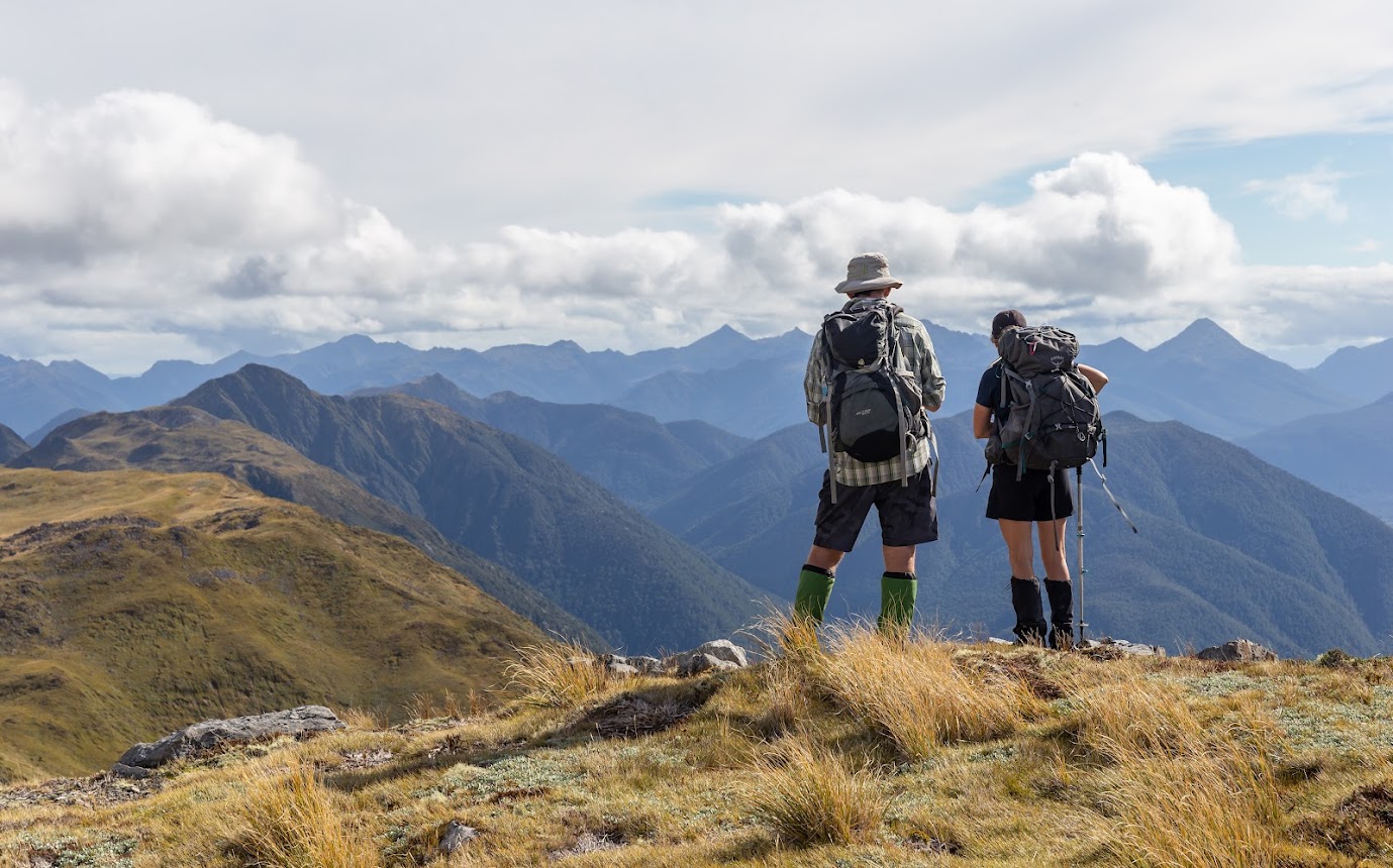
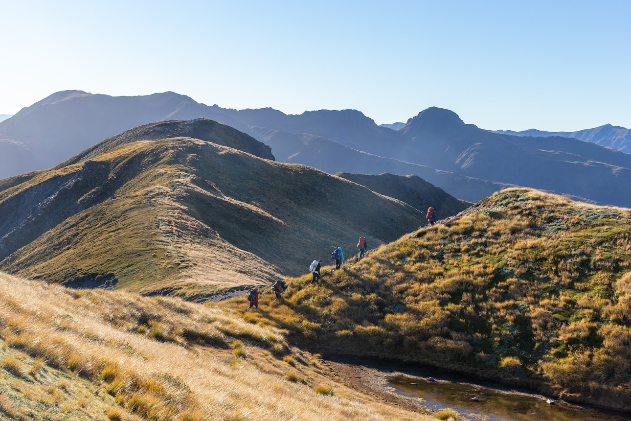
- We started off at Lewis Tops carpark at around 9.30 AM. The track to the tops is well marked and posted, and it didn’t take us long and we were having a morning at the bushline.
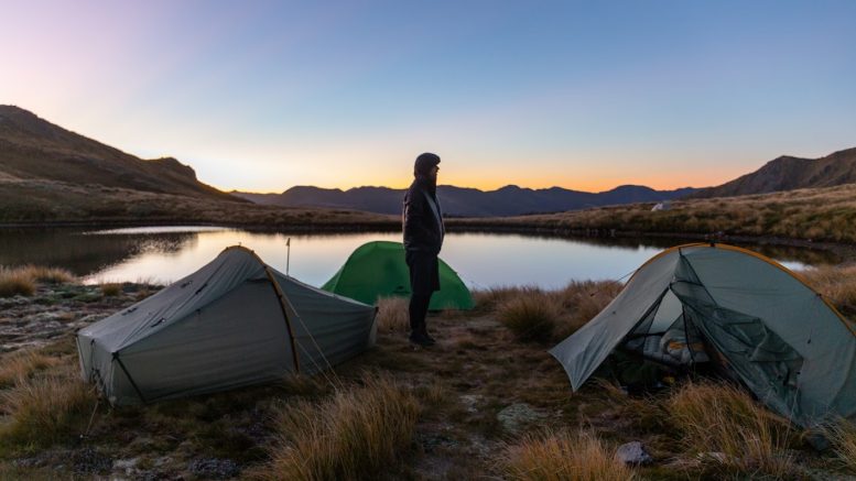
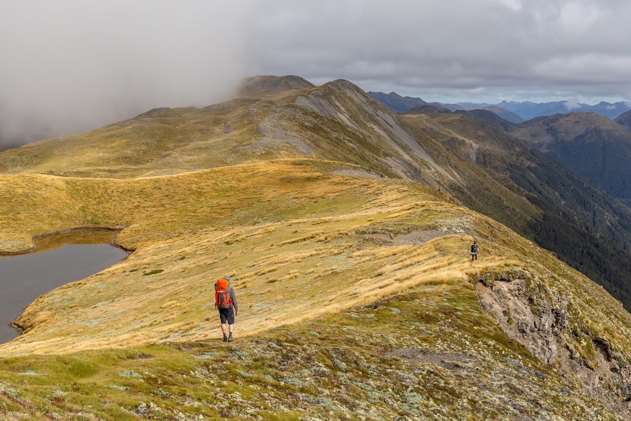
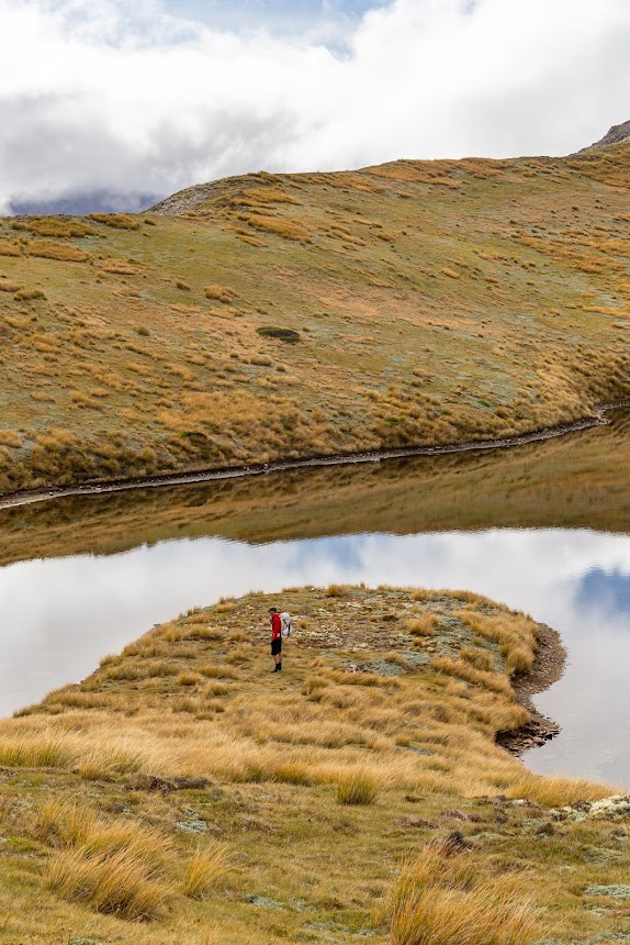
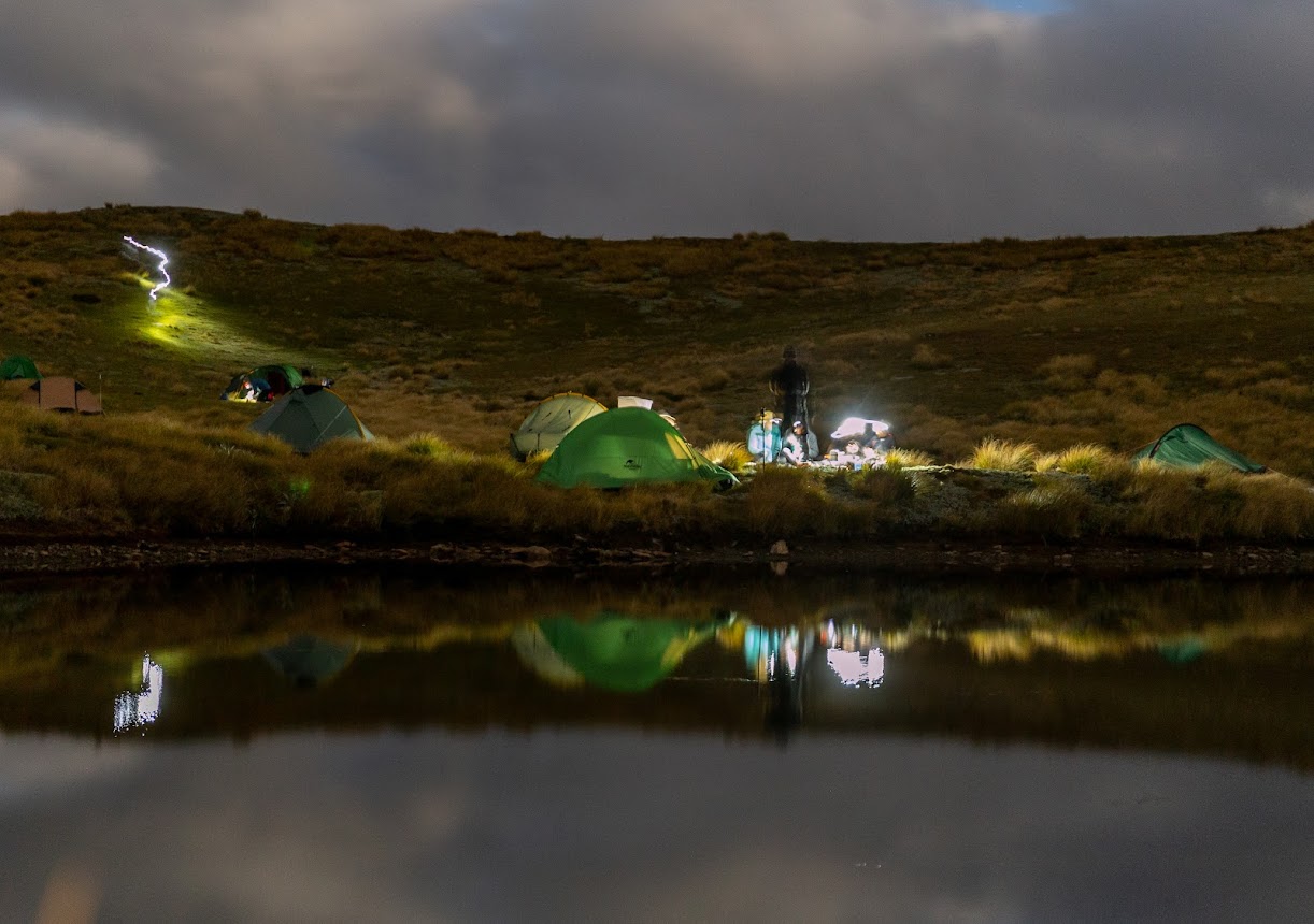
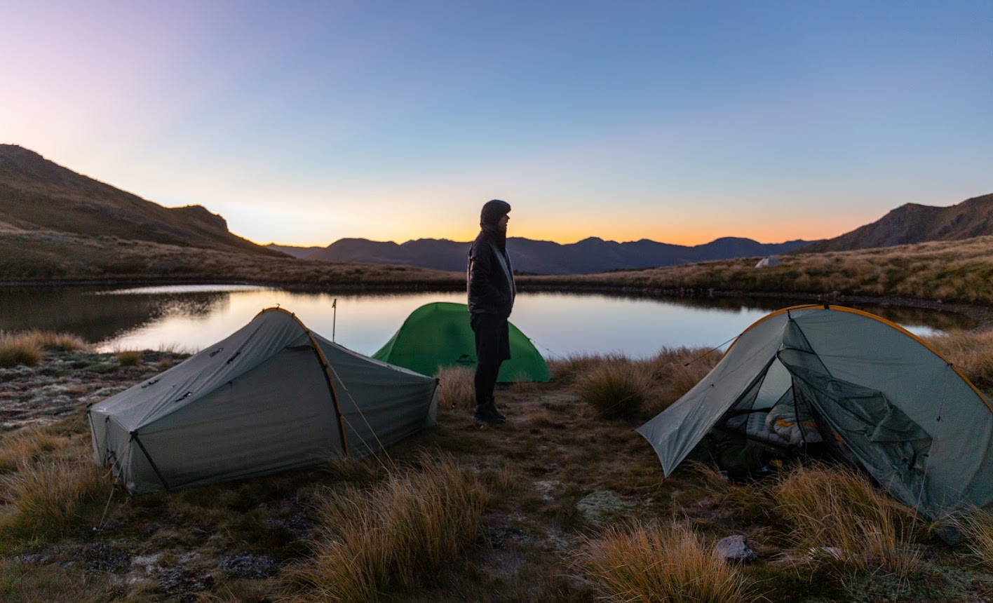
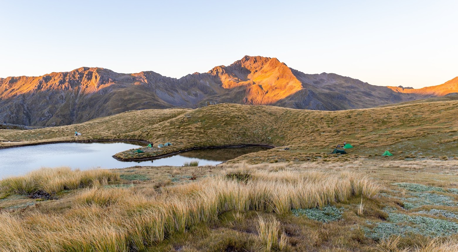
- We followed the tops to the biggest Lewis Tops lake where we set up a camp. 4 of us found a suitable spot on a small peninsula at the lake. Anthony mentioned that he feels like an imperialist colonizing a whole peninsula and I had to agree.
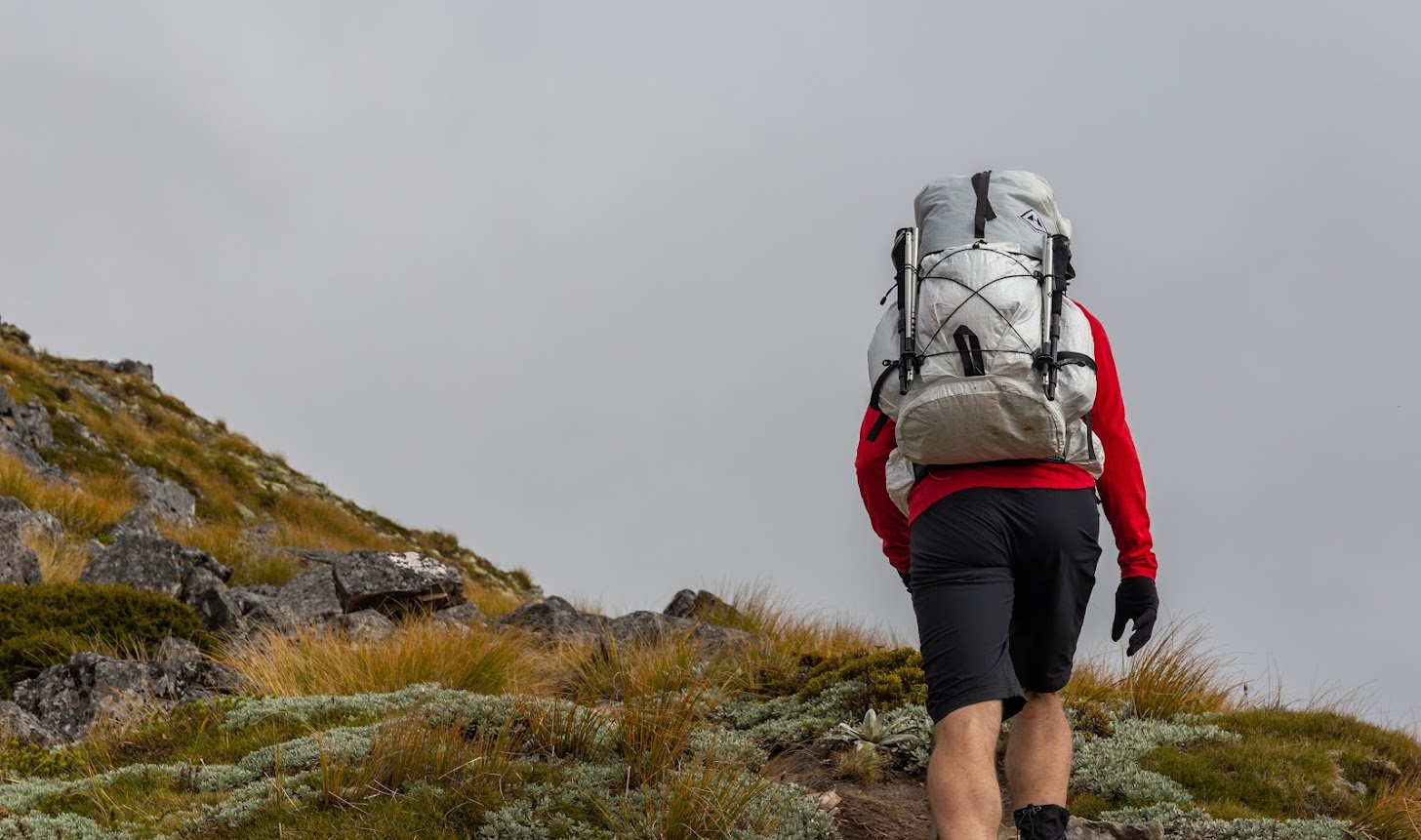
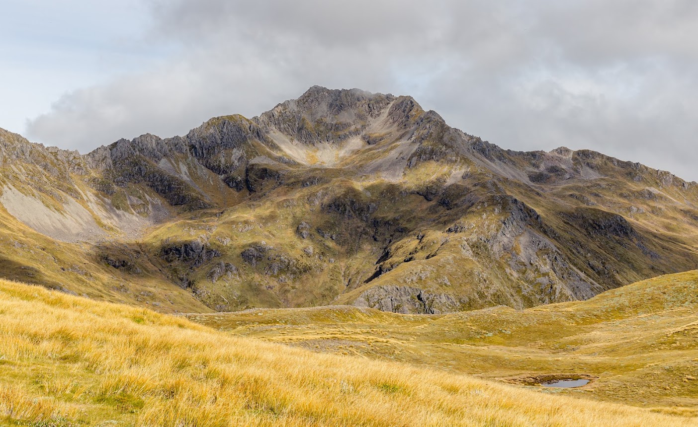
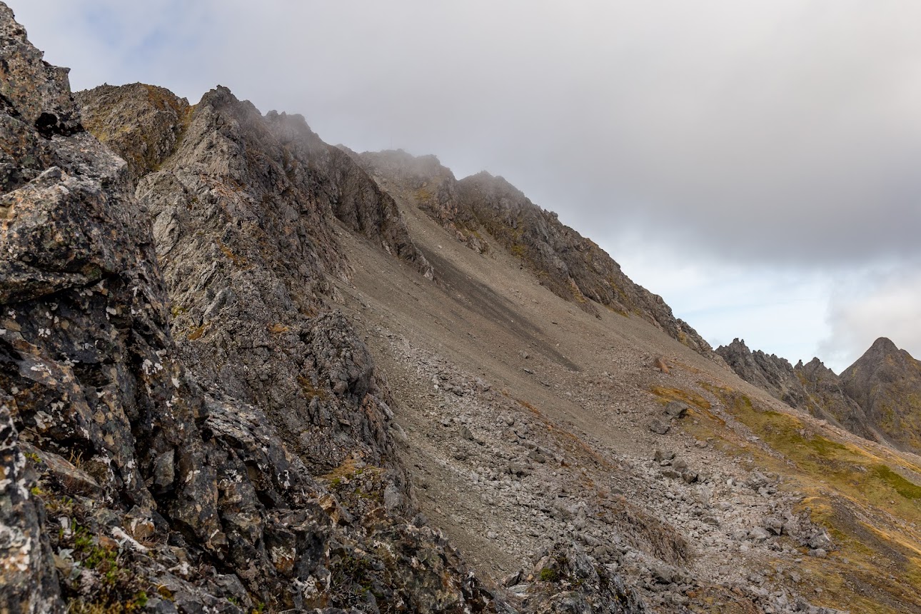
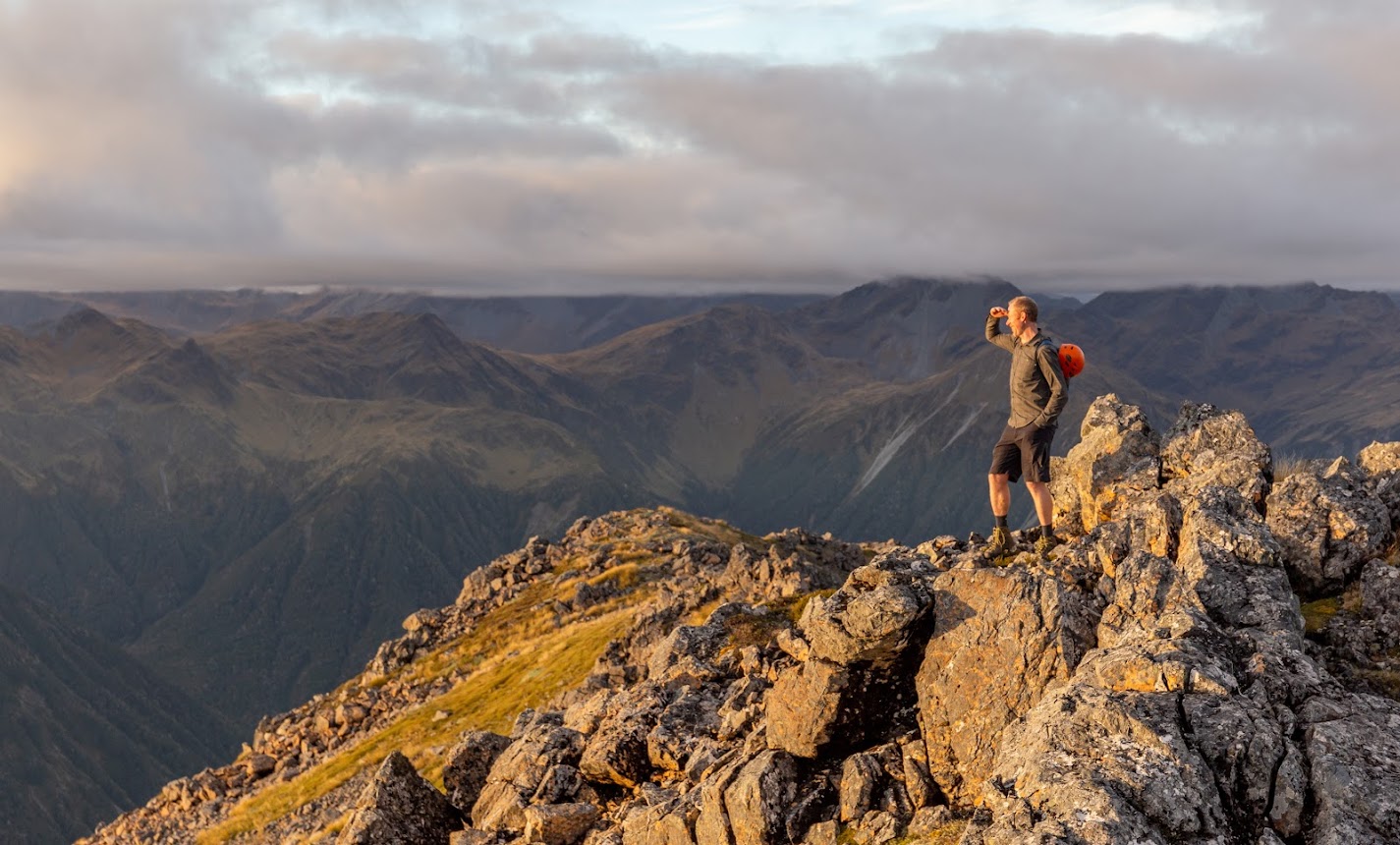
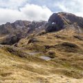
- After setting up a camp, we shot off at around 1.15 PM towards Mt Technical. The tops are easy to pass. From pt1580, the track goes steeply down to the creek east of The Apprentice. There are some great campsites with running water on tap. We climbed straight ahead on the Western Ridge of Mt Technical which was easy enough.
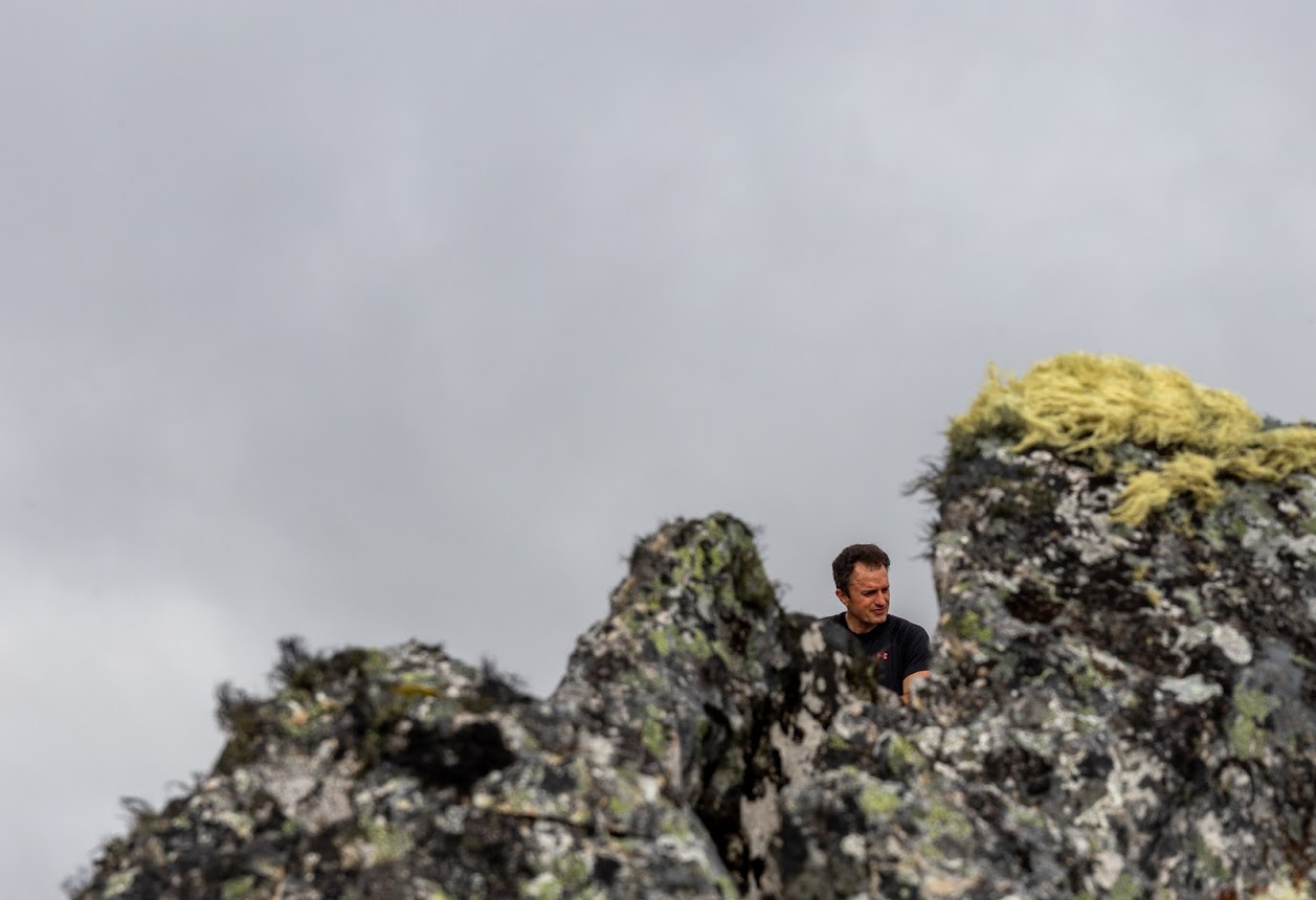
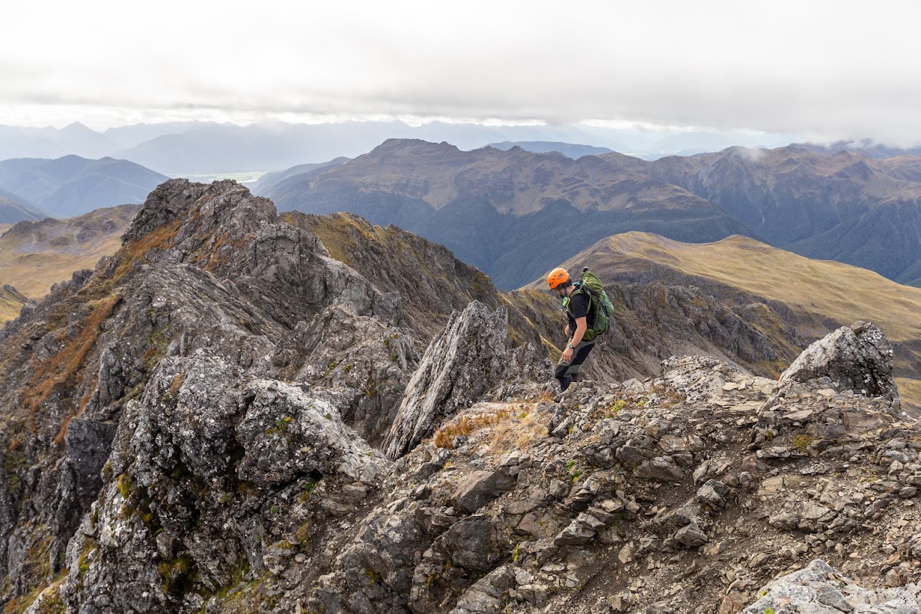
- At around 1740 contour, there is a rock cairn indicating a descending route via a steep gully to a scree SW of the top of Mt Technical. This gully together with the steep gully heading towards the top of Mt Technical is the crux of the journey and some care needs to be taken. It’s not difficult bit slipping will end up badly.
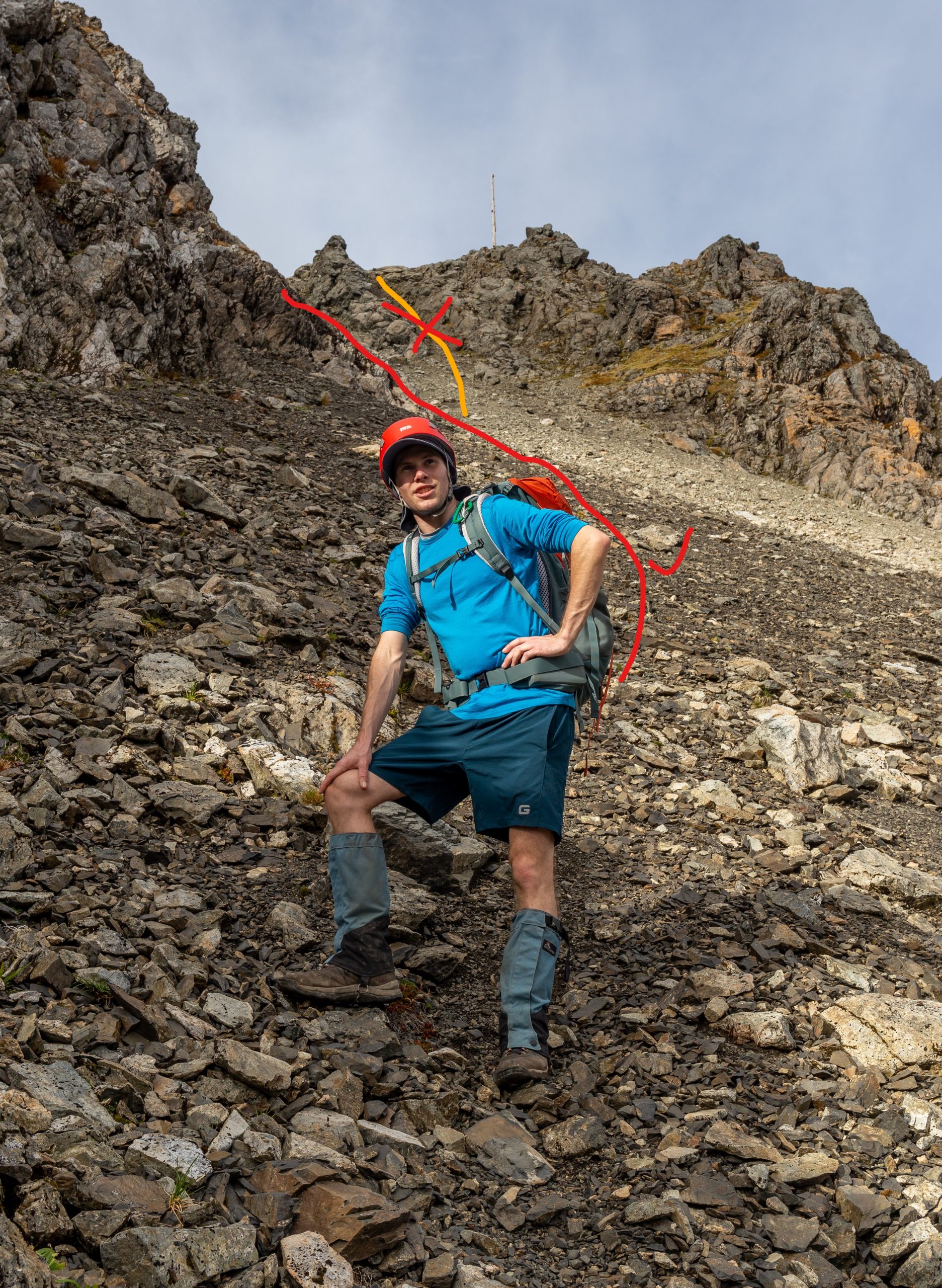
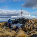
- The scree itself is not too bad, though some CTCers found it hard going. Just under the top, the last 30 vertical meters are done in the first gully on your left. The gully leads maybe 20 meters from the antenna on the top. I tried the next gully 10 meters further and regretted it – it’s full of unstable, slippery rock with a regular boulder problem near the top. The first gully is easier, though there is an easy boulder problem on top of it too. Again, not too hard but don’t slip.
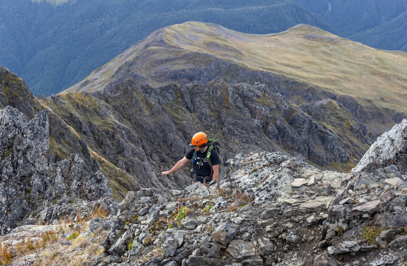
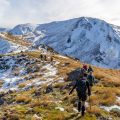
- Byron didn’t take the scree route but continued along the ridge. He said it was around grade 2 with a couple of sections where a lot of care needs to be taken.
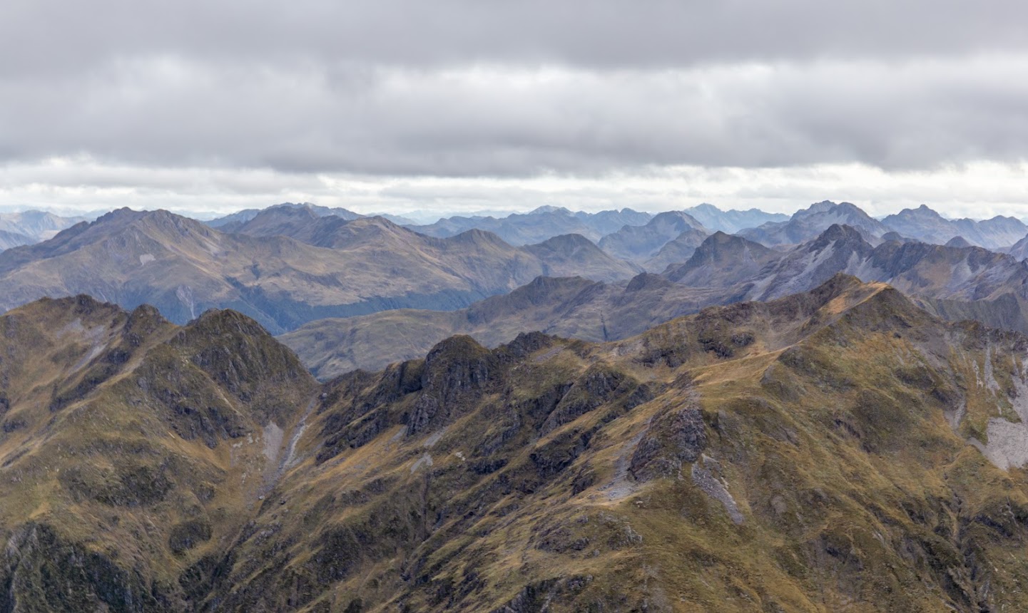
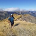
- We came back on the Western Ridge the same way – via the scree. From there, it’s quite a fun scramble along the ridge to the saddle between Mt Technical and The Apprentice. The Apprentice itself is easily accessible from either southern, western, or eastern sides.
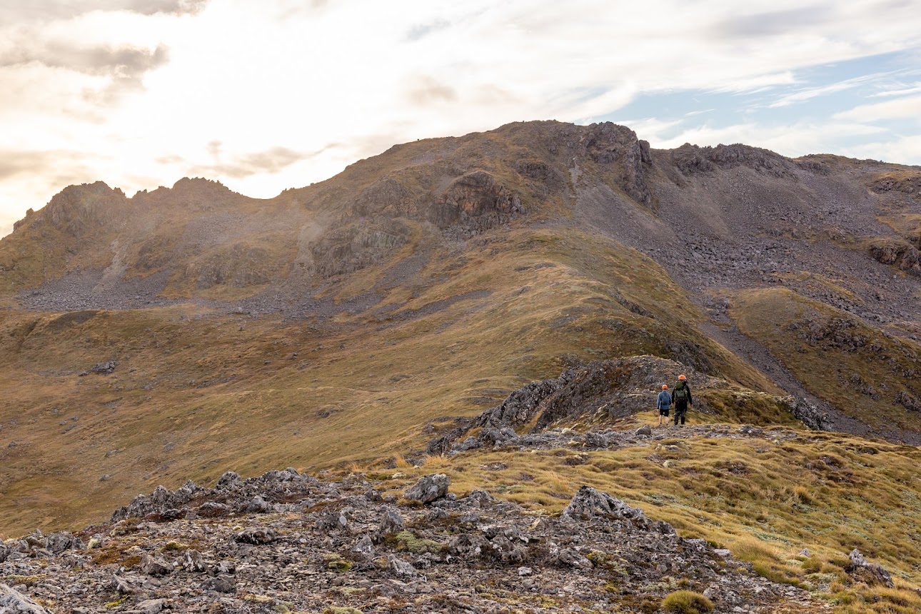
- When we climbed back to pt1580, we watched the last bits of the sunset, put headlamps on and finished the last leg in the dark. I took us just over 9 relaxed hours from the carpark to Mt Technical, The Apprentice and back to the camp.
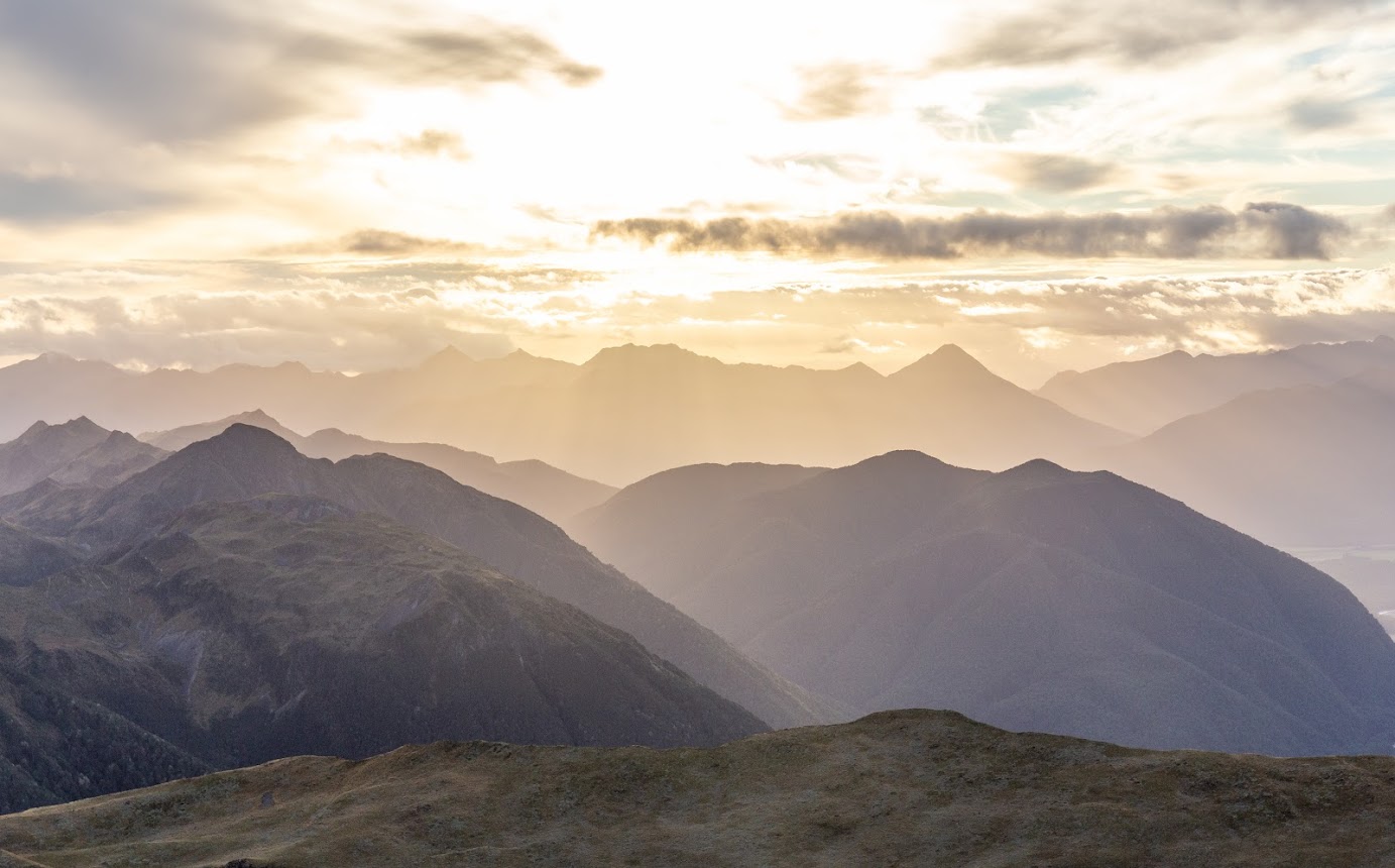
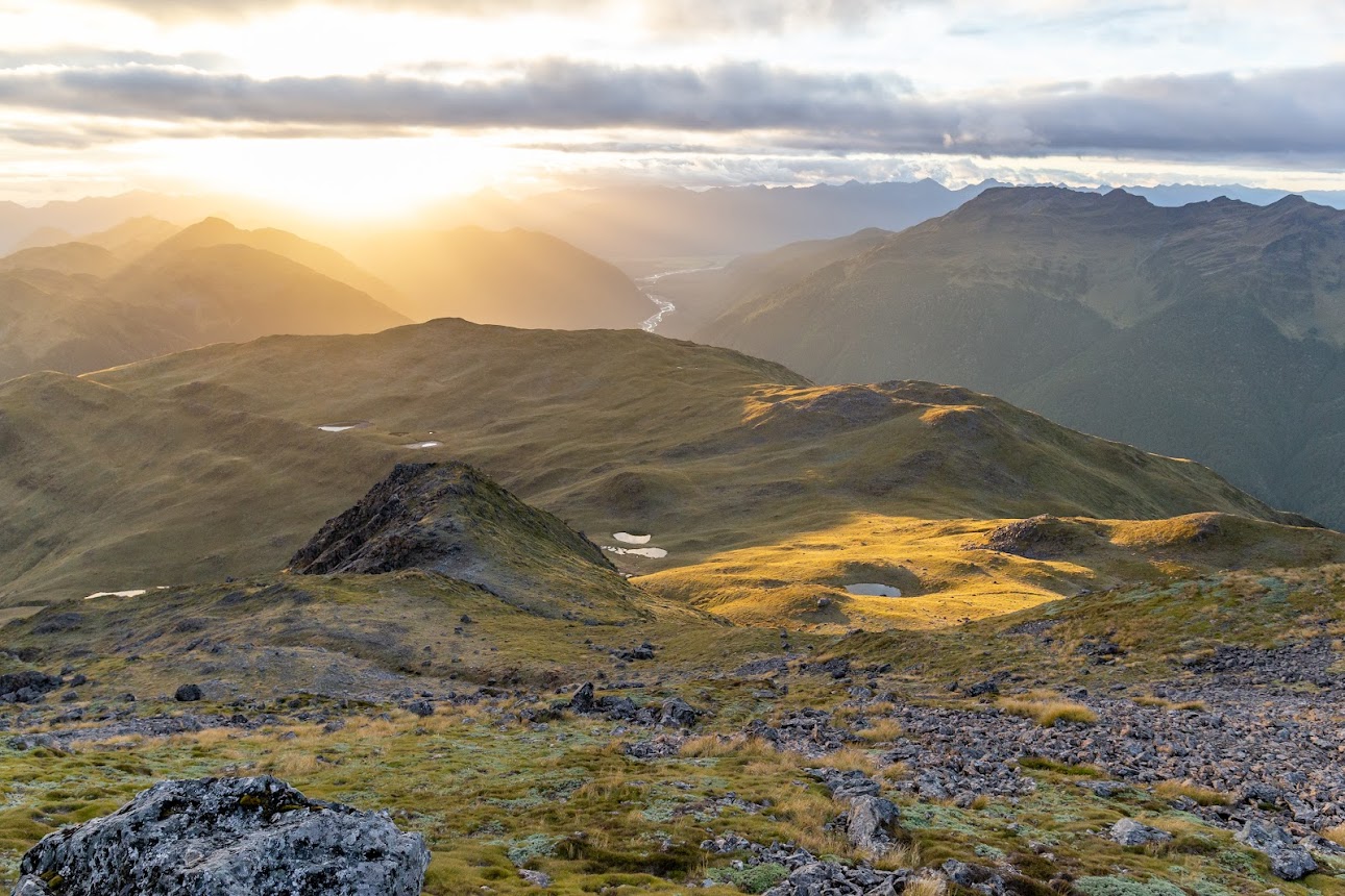
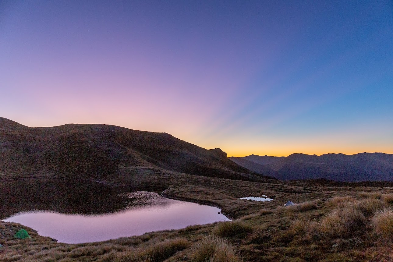
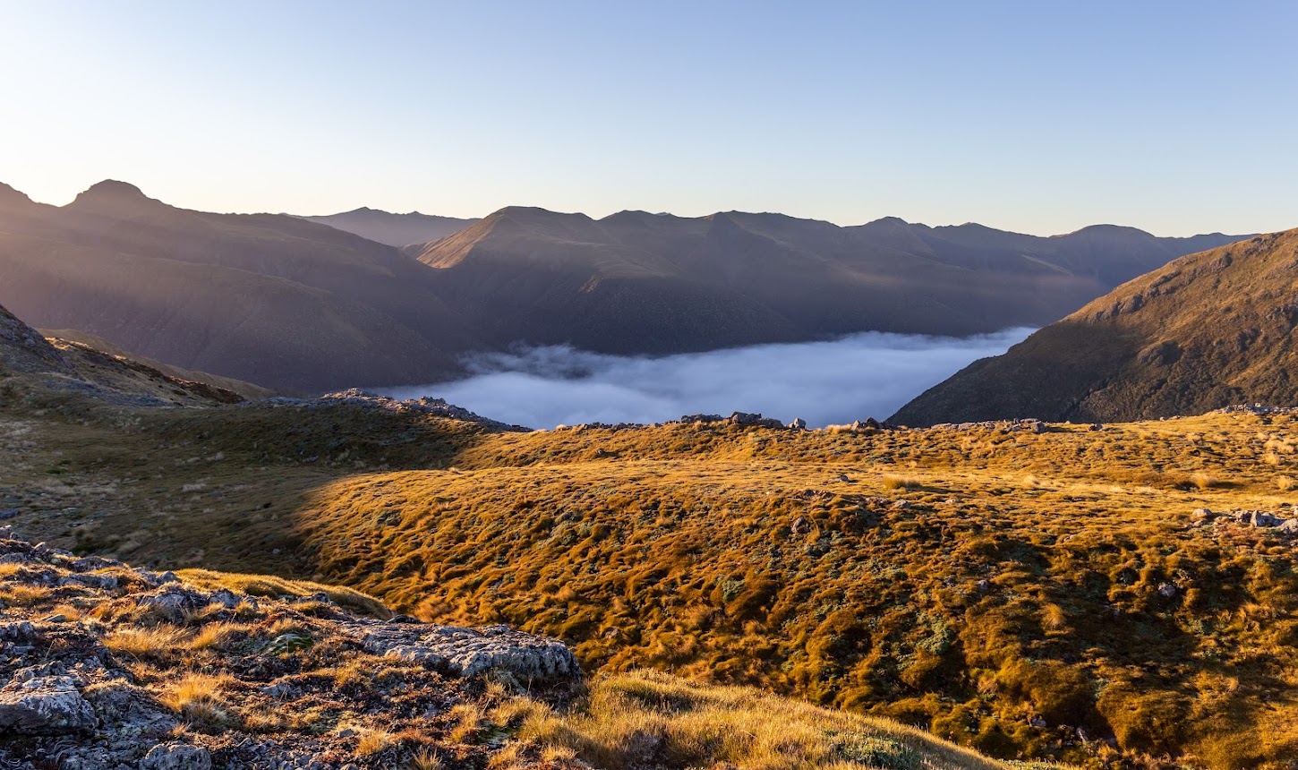
- The sunrise was quite stunning – there was this thin layer of haze hovering above half of the sky which was pink, but the rest of the sky was blue. It took me a while to figure out why the sky is divided. I haven’t seen anything like it, it was mesmerizing – see the photo.
Rough stats:
Day 1: 14.2 km, 9:15 h, 1800m up
Day 2: 4 km, 1:40 h, 700m down
Participants: Michal Klajban (scribe, leader, photos, GPX), Chris McHarg, Marc Bietola, Byron Harvey, Kate Taylor, Louise Petrie, Anthony Clark, Mary Ogburn, Josh Sokolov Pearson
Photos


Maps
Total distance: 14839 m
Max elevation: 1867 m
Min elevation: 845 m
Download file: GPX-hikingisgood-com-nz-2022-Mt-Technical-day1.gpx
Max elevation: 1867 m
Min elevation: 845 m
Total distance: 4102 m
Max elevation: 1563 m
Min elevation: 866 m
Download file: GPX-hikingisgood-com-nz-2022-Mt-Technical-day2.gpx
Max elevation: 1563 m
Min elevation: 866 m
Be the first to comment on "Lewis Tops camping with climbing Mt Technical and The Apprentice"