| ↺ Distance / ↑ Ascent | Time | Map |
↺ 10 km / ↑ 110 m |
2’30” |
Online with GPX
|
If you are in the Cathar Region and feel like doing something easy and flat, walking around Le Peyrat could be a good option for you. This walk starts on the square next to the church from where you follow the yellow marked route towards the river Le Grand Hers.
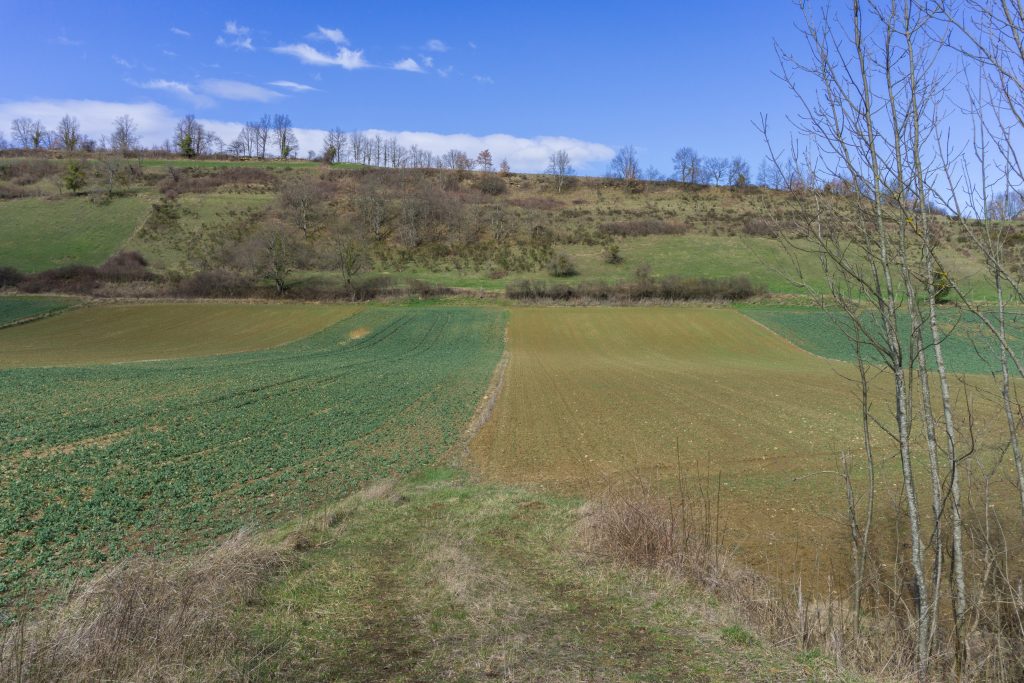
In the middle of the fields
The yellow marked path soon meets the red marked route also heading to Sainte-Colombe-sur-l’Hers. You can ignore that one and continue along the road on your left. After an hour you come to a bridge which would lead to the town itself. Turn left instead to a steep bendy road. After about 15 minutes the trail continues left again while the road goes right.
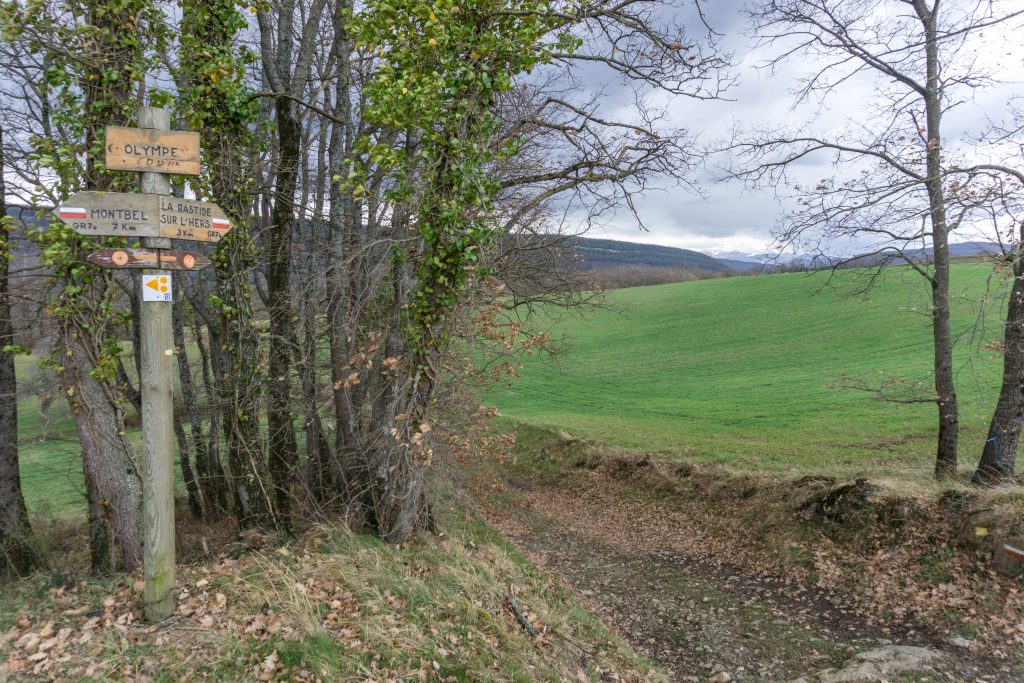
Crossroad close to Miravel
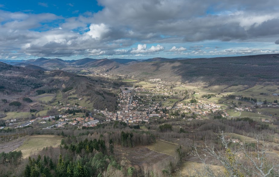
For the next half an hour you’ll be following a ridge on the forest road. It’s really nice with great views of the Lake Montbel where I walked a couple of weeks ago.

Lake Montbel & a donkey
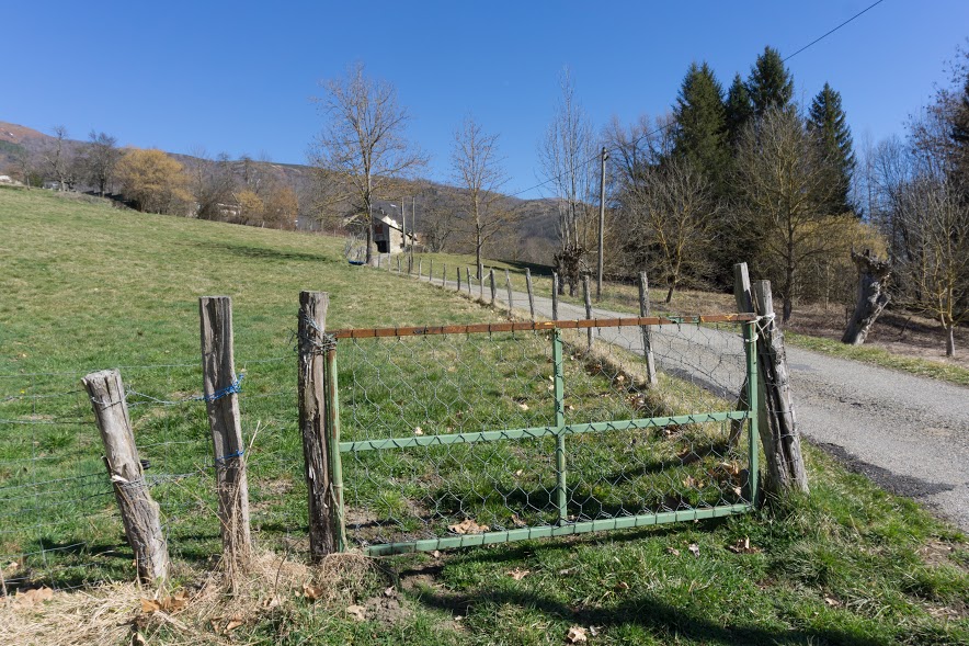
In the small village Miravel the trail goes steeply down back to Le Peyrat.
Hiked with Anna in March 2017. Photos taken by me and my lovely Sony a6000 |



Be the first to comment on "Le Peyrat to Sainte-Colombe-sur-l’Hers loop walk"