This was a super last-minute trip. It was actually so last-minute that it can’t get any more last-minute. I and Kupic were basically texting about if and where to go AND quickly packing at the same time. We had a rendezvous at Lewis Pass shelter at 9 PM. We left one car there and drove the other one to Marble Hill Campsite. As we were approaching the campsite, it was drizzling already. Oh boy…
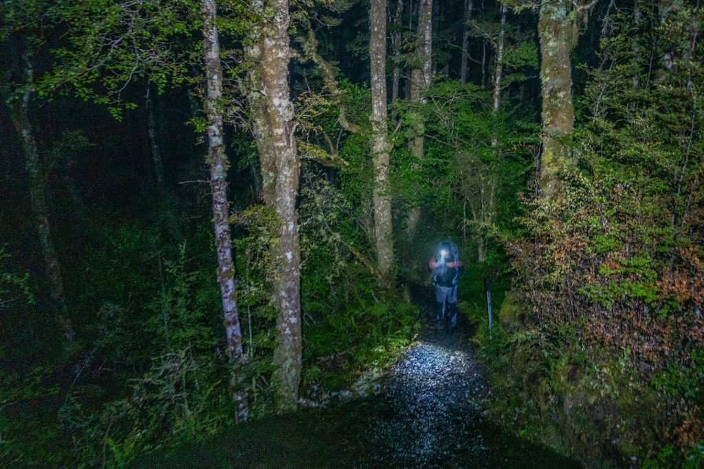
- Soon after we started walking towards Kōhanga Atawhai – Manson Nicholls Hut, it was raining cats and dogs. It took us about 2 hours to reach the hut. DOC website says it takes 1-3 hours. I’d really love to see that speedy tramper who can WALK this 8 km track in 1 hour but perhaps I’m just too envious of what other trampers’ capalabilities. When we reached the hut, we were completely soaked and the heavy rain continued…
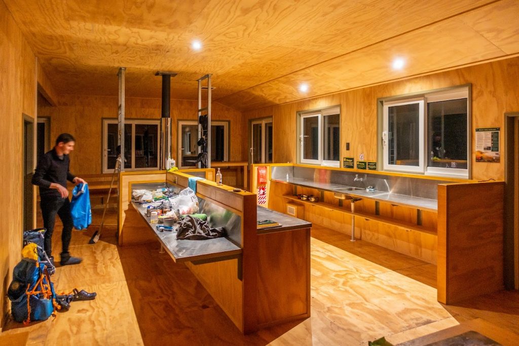
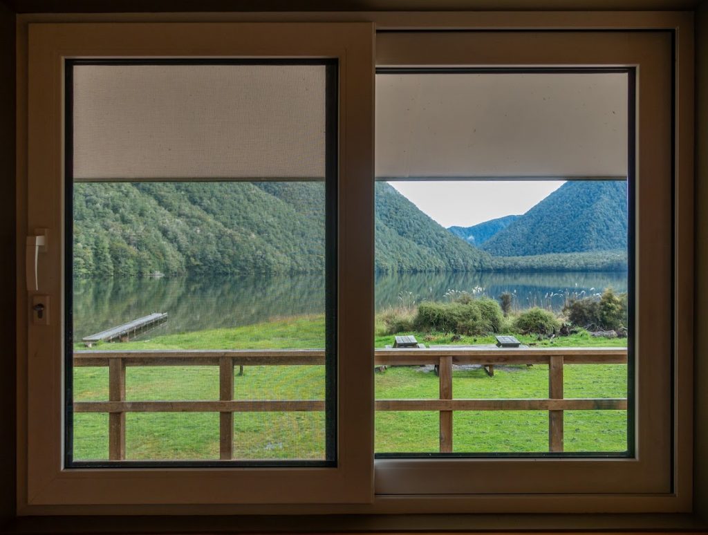
- We had the hut to ourselves. According to the hut book, it happens very rarely that the this busy hut is empty, perhaps once in a month or two. So yeah, when you see heavy rain forecasted, it may be a good time to visit some of the most popular huts in Aotearoa?
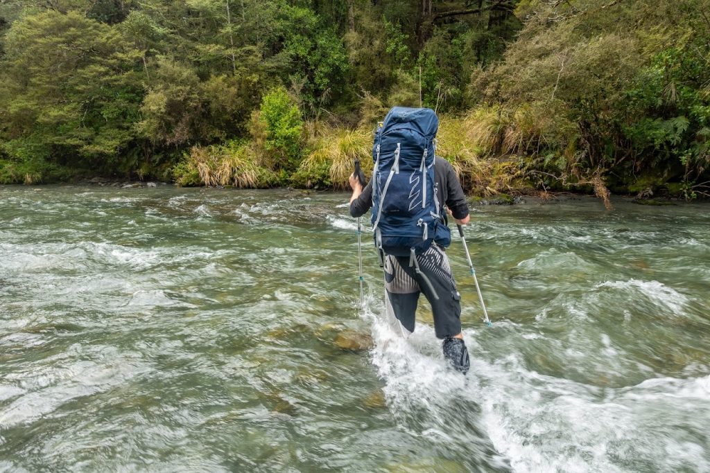
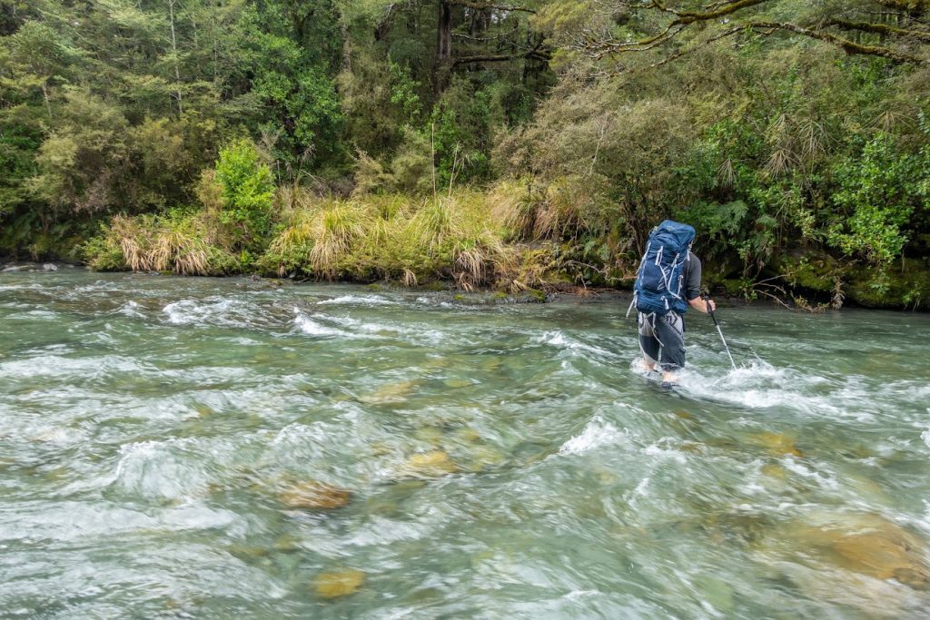
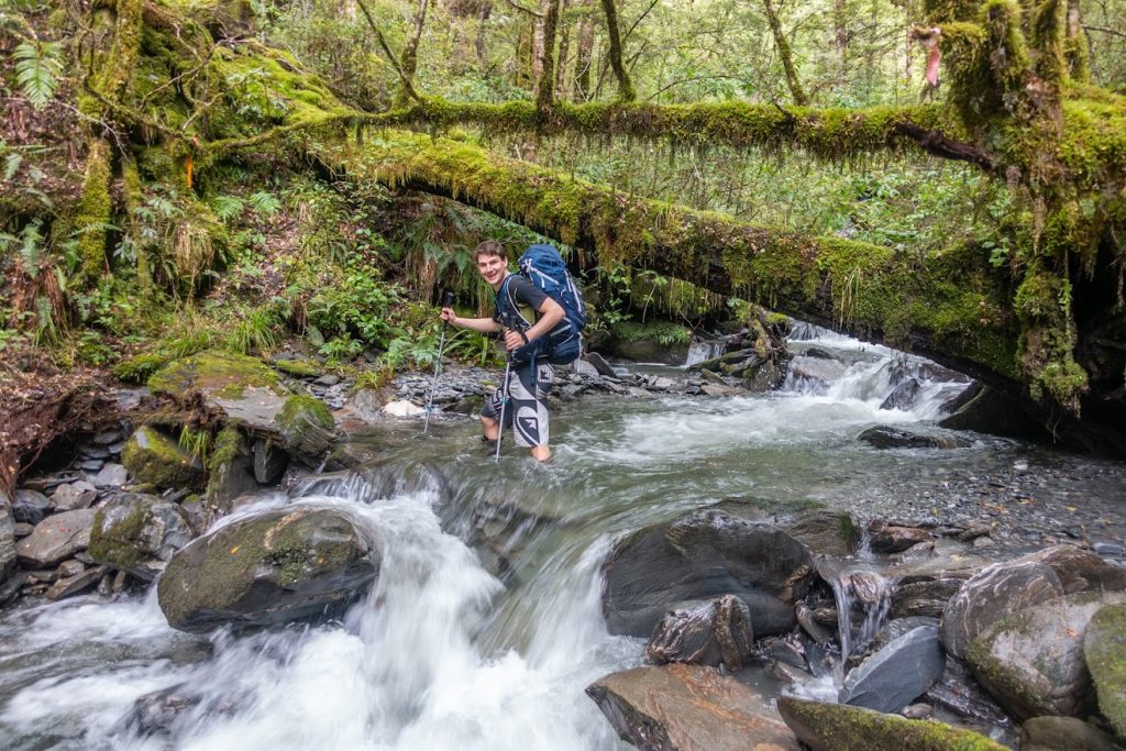
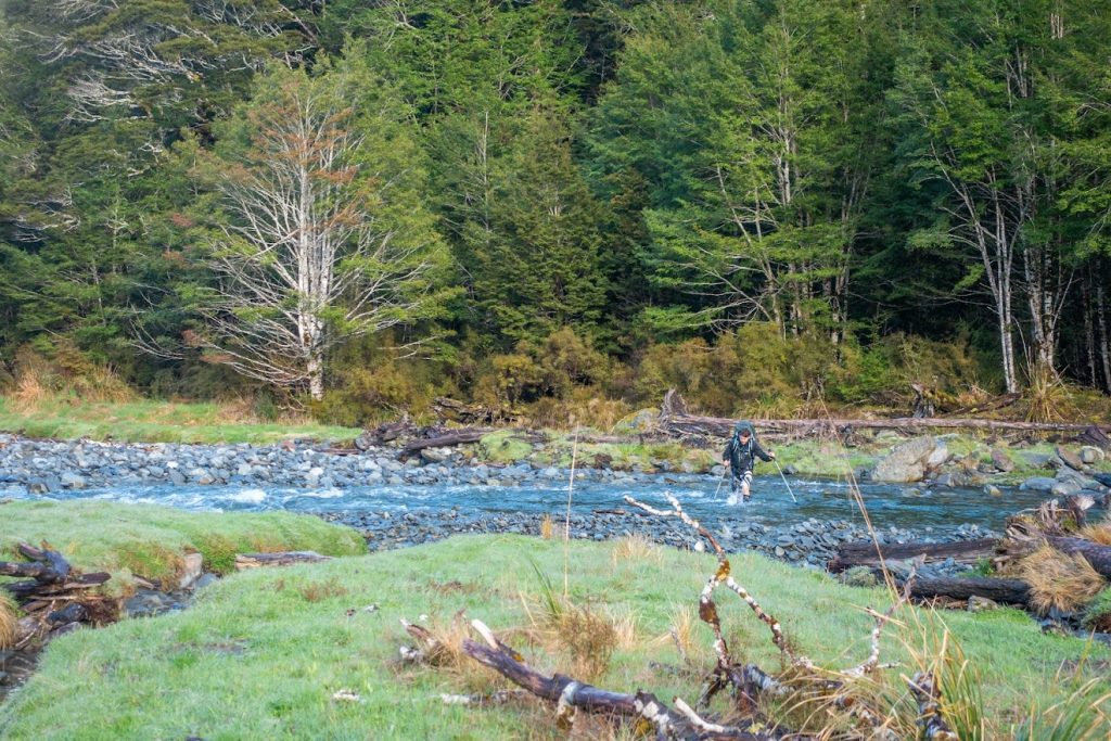
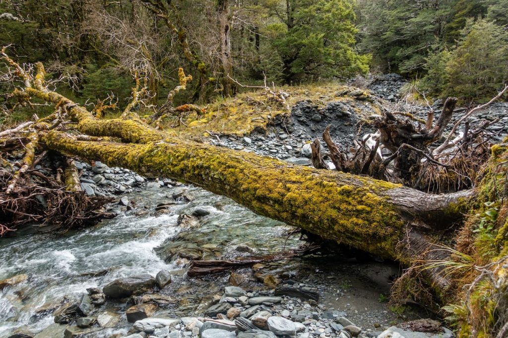
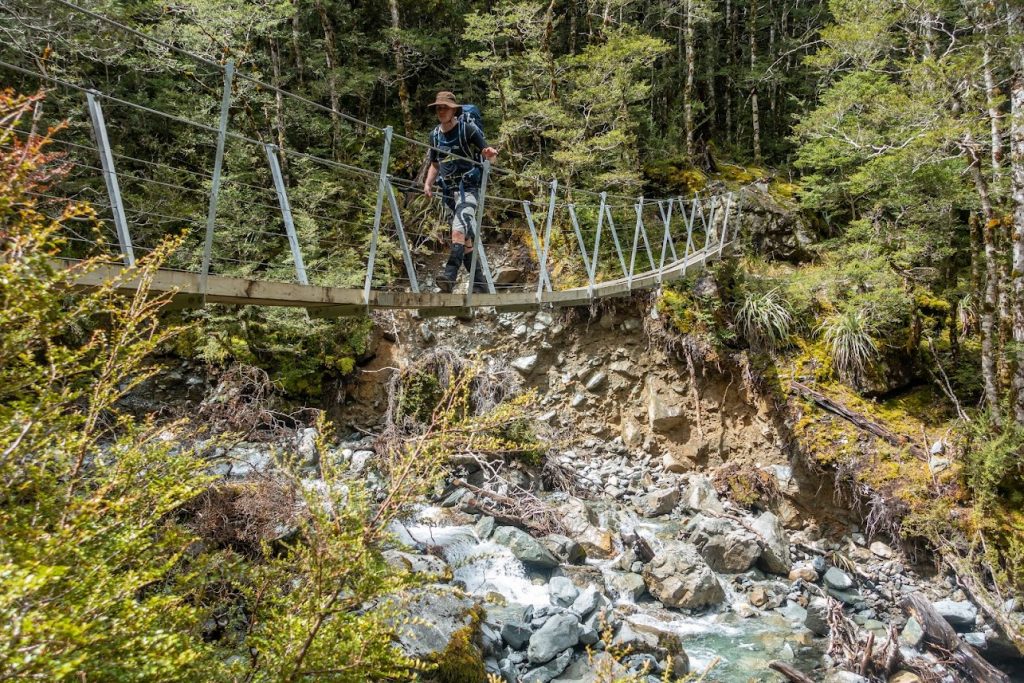
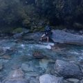
- It stopped raining around 2 AM which was fantastic because it gave us a reasonable chance to cross Alfred River in order to continue with our plans. We got to the crossing point at about 12 AM and the river was quite swift but not flooded. We crossed and followed 4WD track for a kilometer or so.
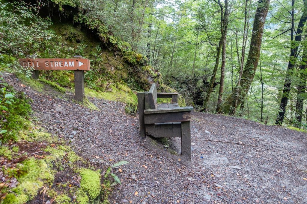
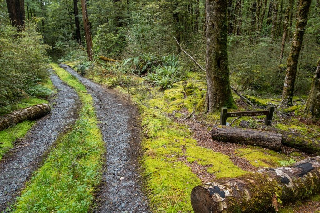
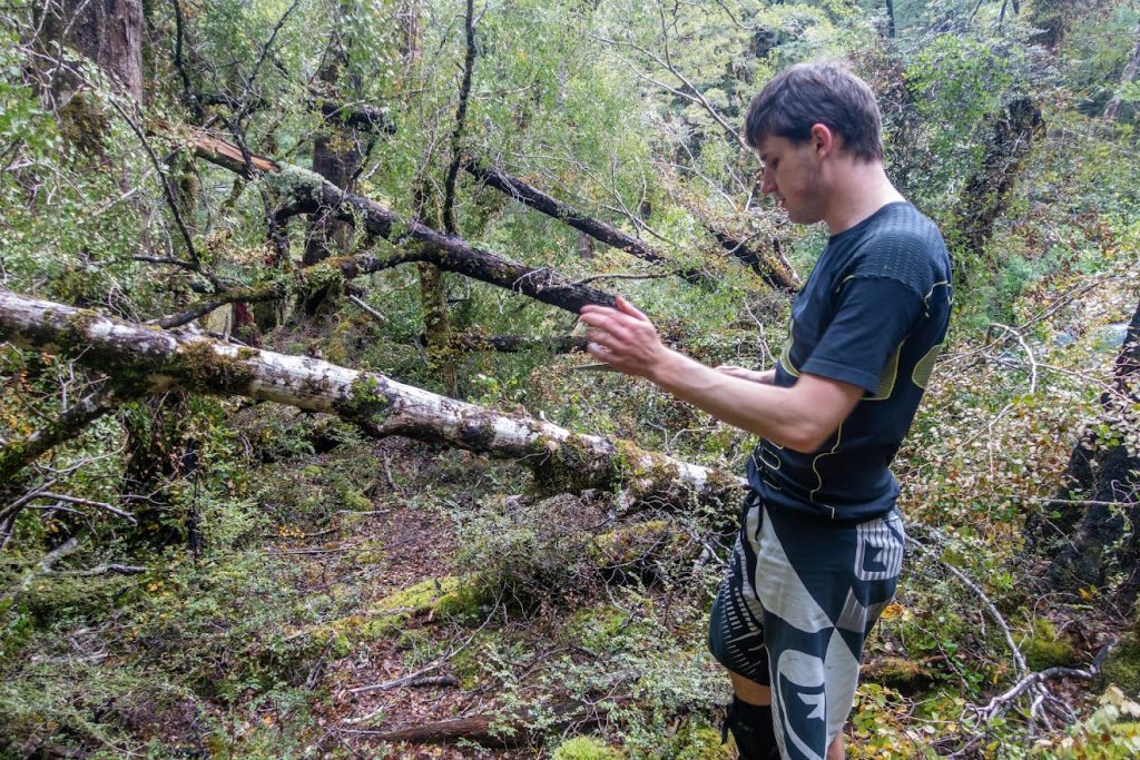
- Start of the track was indicated by a sign. The route was well marked and easy to find. There are some slips and fallen trees across the track so the route was a bit demanding but not hard to follow.
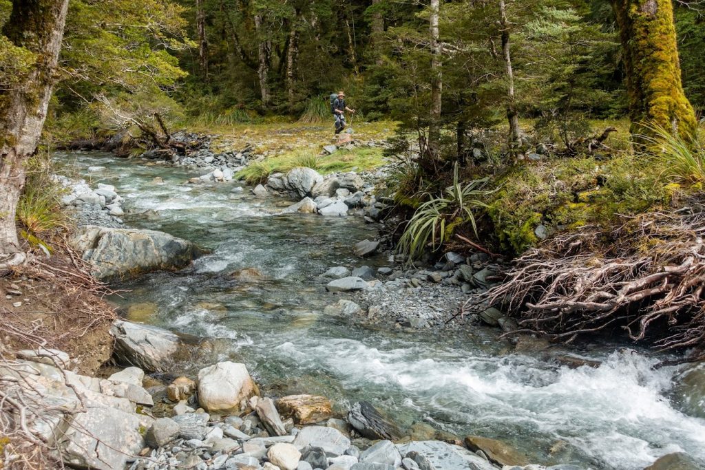
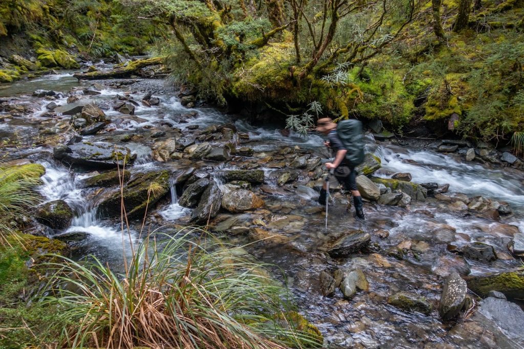
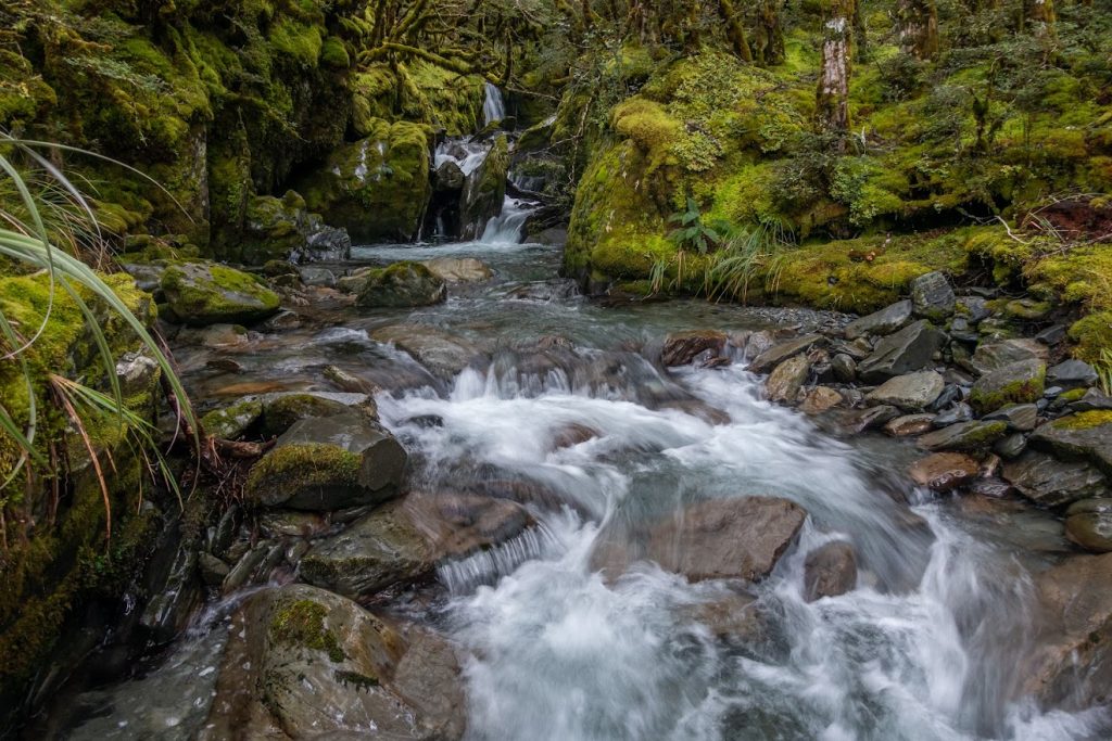
- Between Gilchrist Creek and the point where Pell Stream forks at the base of a ridge heading to pt760, it’s mostly river travel.
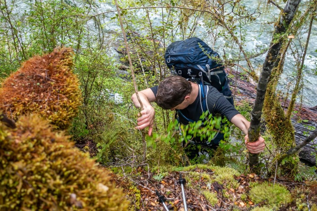
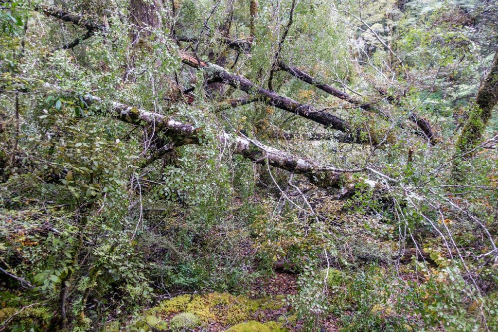
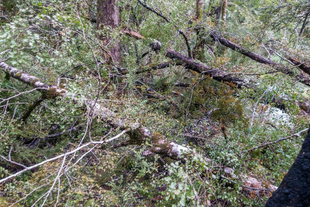
- At the base of pt760, there were some trees fallen across the track. I had a handsaw so we got rid of most of it and left only a couple of thick branches that looked too big for my short saw.
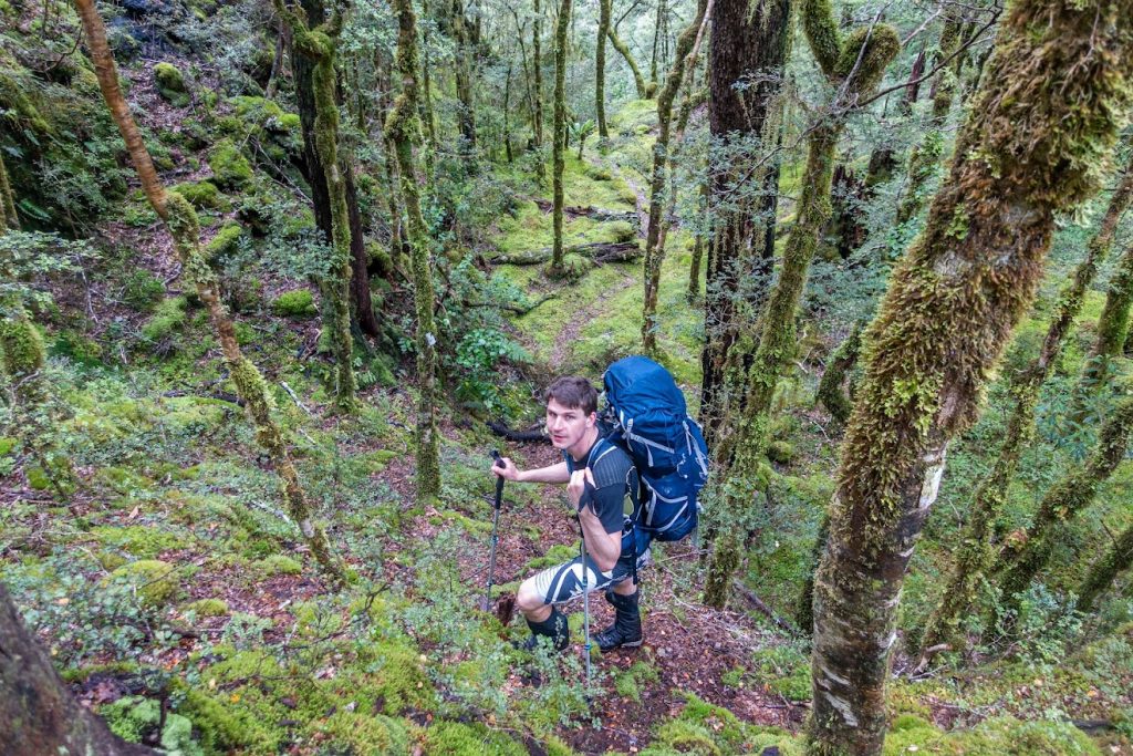
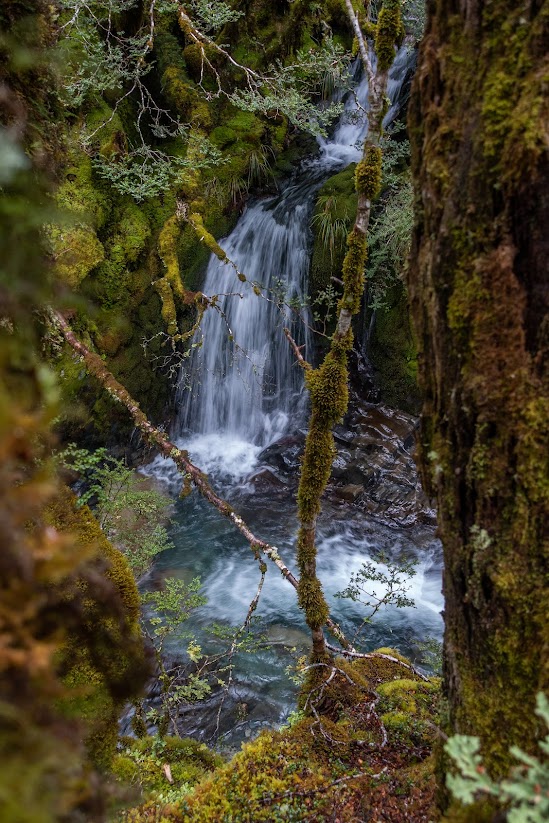
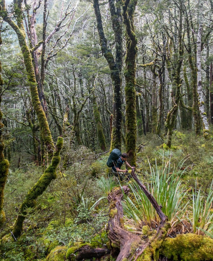
- Track across pt760 goes well above the river. It cuts through very open mossy bush. It drops down back to the river around 10 minutes away from the hut.
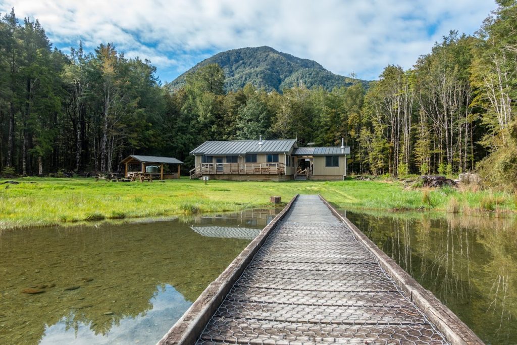
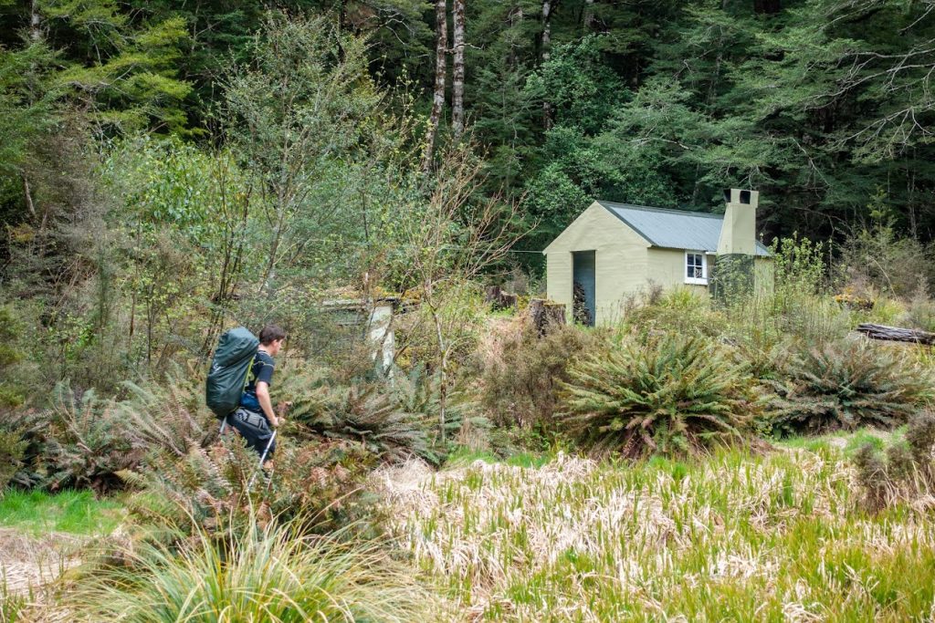
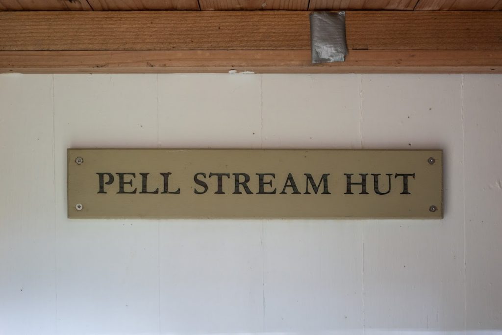
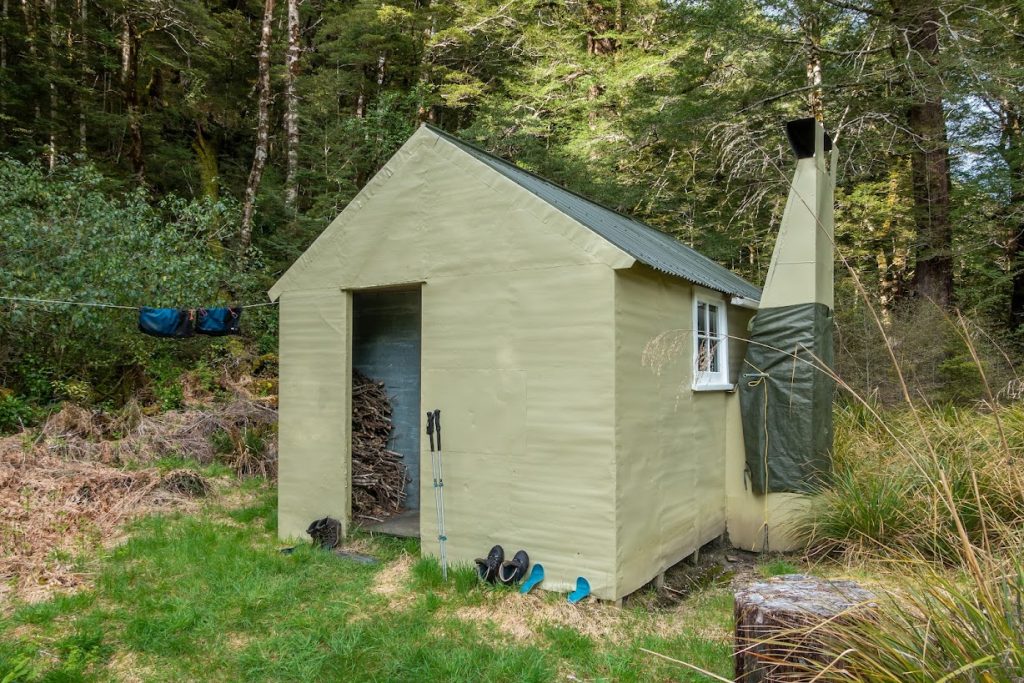
- It took us 4h 30min to reach Pell Stream Hut including 30min of track work (timed from the crossing of Alfred River by Lake Daniels Track to the hut). We had a pretty chilled pace, perhaps it can be done under 4h by a fit person. The hut was in good condition, though the mattracess would deserve a scrub (maybe next time Kupkin?).
- The day after we headed for Cannibal Gorge Hut. There is no marked track to follow from Pell Stream Hut further up the catchment. It’s a combination of river bed travel and following deer tracks on both sides of the stream. There was quite a lot of slips and windfall on both sides so we’d do cca ⅓ of river travel, ⅓ of travelling along TL and ⅓ of TR.
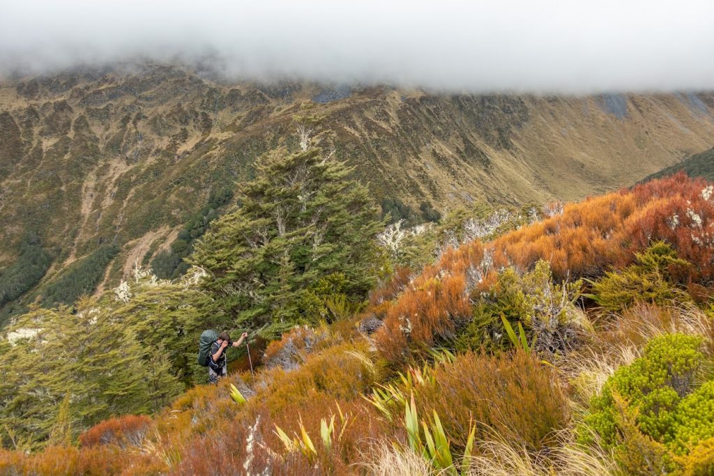
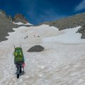
- Where the stream meets cirka 950 contour, it suddenly gorges and it’s not possible to travel in the river bed anymore. We stayed on TL and started climbing towards pt1300. It’s a good idea to follow permolat’s advise and follow a line between pt1300 and a point where 1000m contour meets Pell Stream. Otherwise you may end up in a broad catchment south of pt1300 with no vegetation to help your progress or you’ll walk too far where it seemed steeper and bushier. The bush through this steep section is okay, though a bit thicker than along the river. The whole 300m climb is a good excercise for sure.
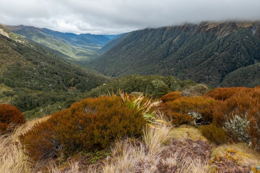
- From pt1300 it was an easy walk to the saddle at pt1345. There are some good campsites around with plenty of water supply.
- From pt1345 we dropped down to the bush and made our way down to St James Walkway. We follow a dry creek which turned out to be quite nice, no waterfalls or big drops. It was on the TR of an active creek, across one or two ridges towards SW.
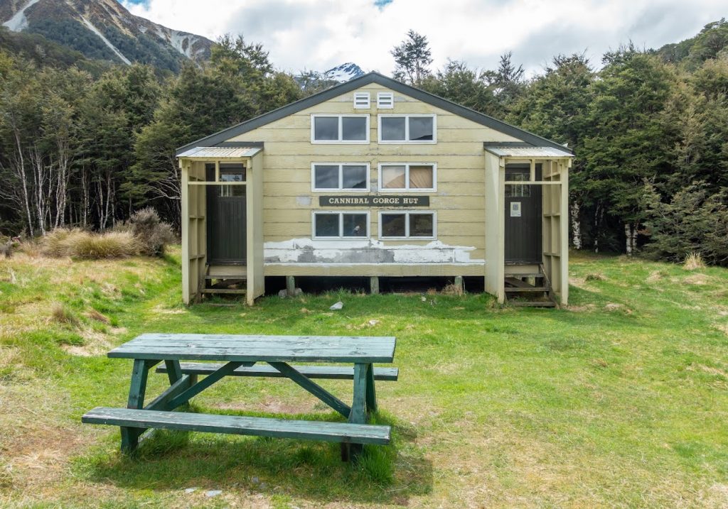
- It took us 6 hours to reach Cannibal Gorge Hut from Pell Stream Hut. We didn’t rush at all. It could be done in 5 hours by a fit person. From Cannibal Gorge, it’s a relatively easy walk out, though it’s perhaps one of the more demanding parts of St James Walkway with many ups and downs.
- It was a fantastic trip. It’d make for an epic weekend to come out via Mt Mueller or Mt Freyberg. Perhaps next time.
Tramped on 28-30 October 2021.
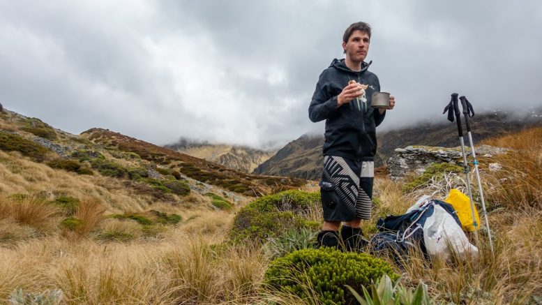
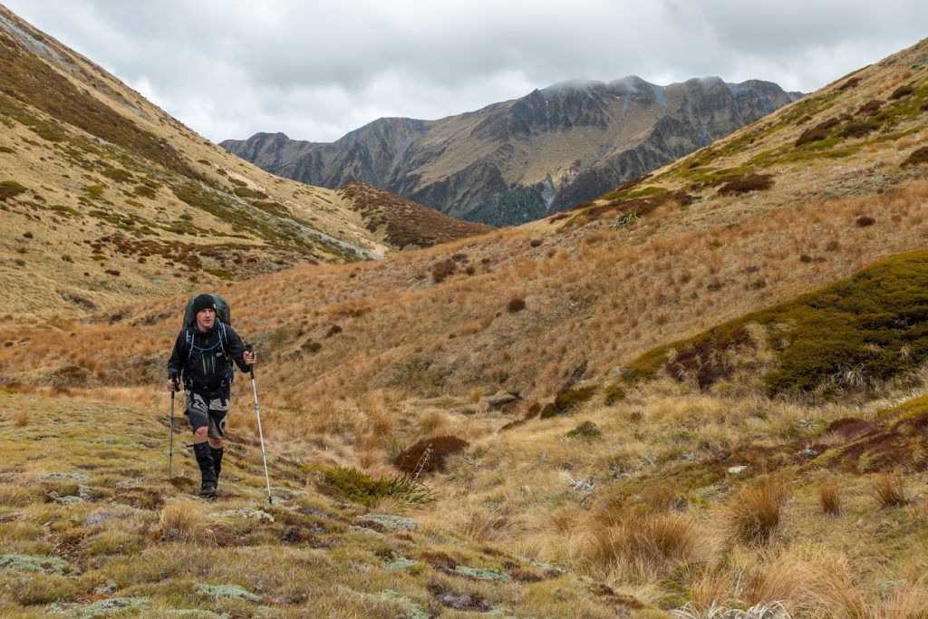
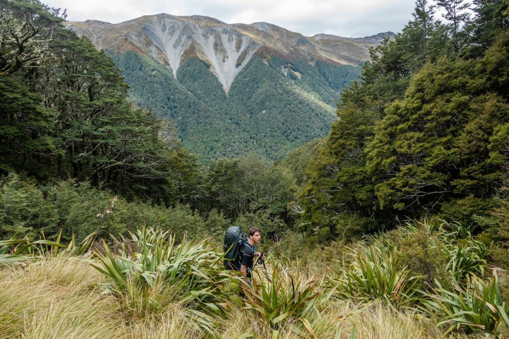
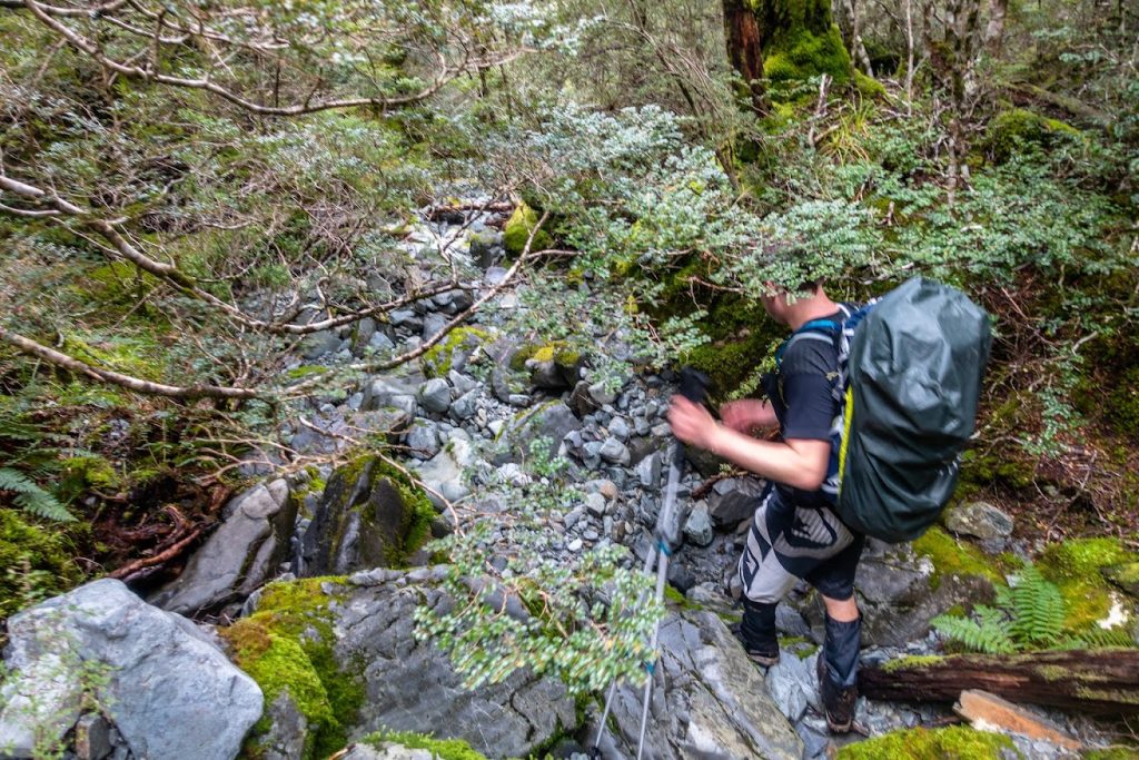
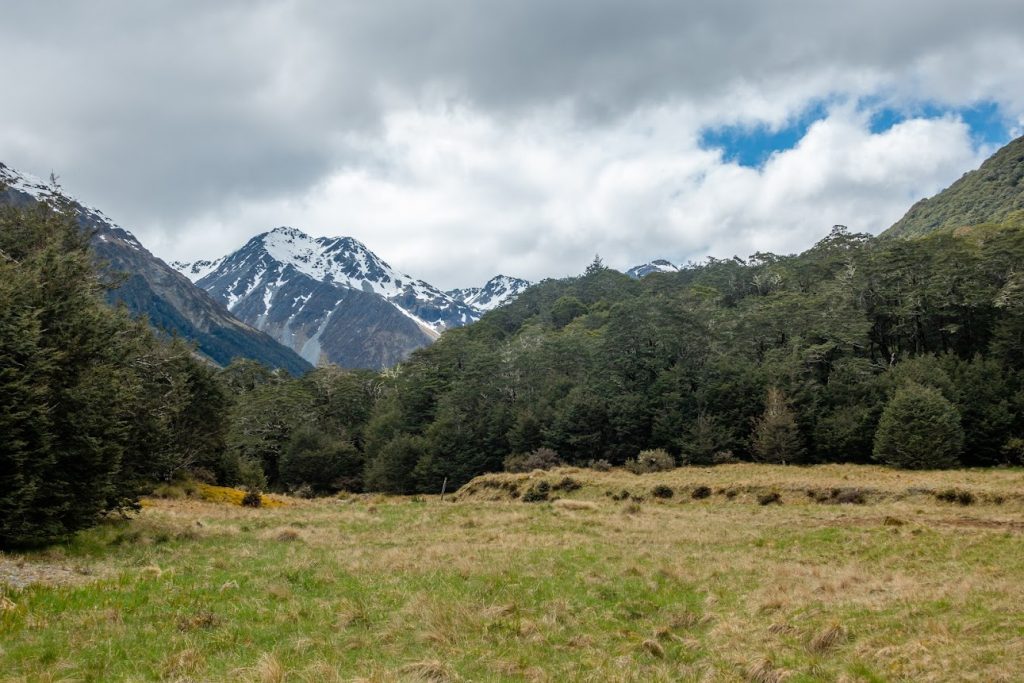
A few photos
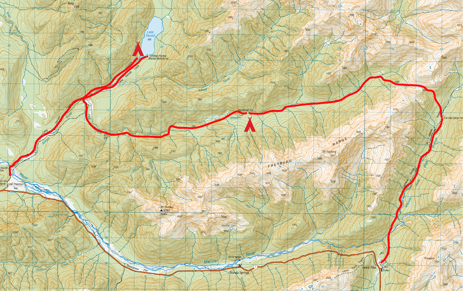


Rough stats and maps
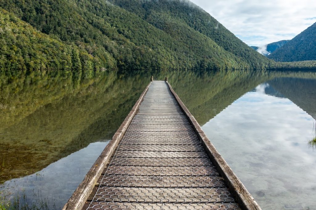
Marble Hill Campsite – Lake Daniels: 8 km, 2 hours
Lake Daniels – Pell Stream Hut – 13 km, 5.5 hours
Total distance: 9827 m
Max elevation: 774 m
Min elevation: 481 m
Download file: GPX-hikingisgood-com-nz-2021-pell-stream-hut.gpx
Max elevation: 774 m
Min elevation: 481 m
Pell Stream Hut – Cannibal Gorge Hut – 10 km, 6 hours
Total distance: 11067 m
Max elevation: 1352 m
Min elevation: 684 m
Download file: GPX-hikingisgood-com-nz-2021-pell-stream-to-cannibal-gorge.gpx
Max elevation: 1352 m
Min elevation: 684 m
Cannibal Gorge Hut – Lewiss tops carpark – 8 km, 2 hours
Total distance: 7998 m
Max elevation: 918 m
Min elevation: 712 m
Download file: GPX-hikingisgood-com-nz-2021-cannibal-gorge-to-lewiss.gpx
Max elevation: 918 m
Min elevation: 712 m
Be the first to comment on "Lake Daniels – Pell Stream Hut – Cannibal Gorge Hut"