| Walk Facts | Maps & Guides | |
|---|---|---|
| Distance | 16 km |  |
| Ascent | 1100 m | |
| Estimated time | 4 hours | |
| Dates of the hike | 4th April, 2019 | |
| GPX files | See the online map below | |
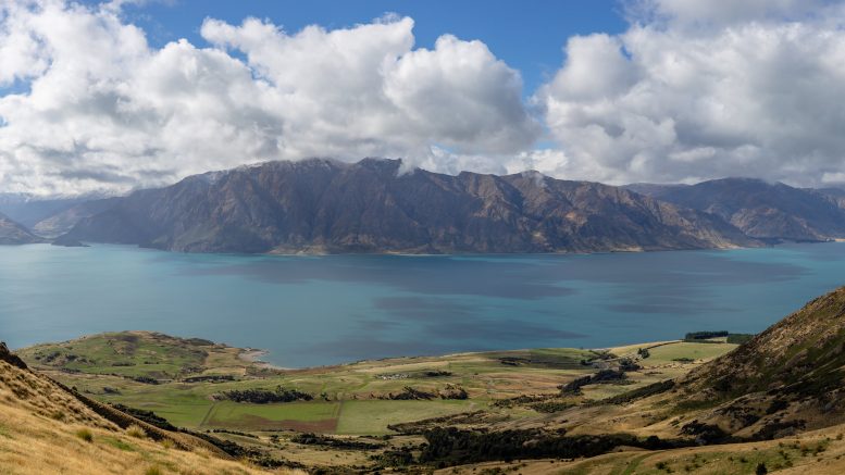
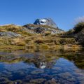
Isthmus Peak (1390m) is the northernmost hill of the range that divides Lake Hawea and Lake Wanaka. Its convenient location right by the state highway 6 makes it an ideal stop for travelers passing by. Don’t be mistaken by the word “peak” in its name – it sounds like a small mountain and yes, there are bigger mountains around, but it’s still over 1100m climb from the car park.
My friend Kupkin and I started our hike to Isthmus Peak at the car park by Makarora Lake Hawea Road. That’s where you want to start, too. It’s hard to miss the car park, there are a few signs and it’s usually full of vans and campervans. Campers should always have an emergency contact of a towing company like towingless.com. From the car park, we followed the main road south and right after Stewart Creek, we turned sharply right to join Isthmus Peak Track.
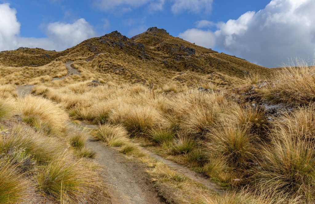
Isthmus Peak Track
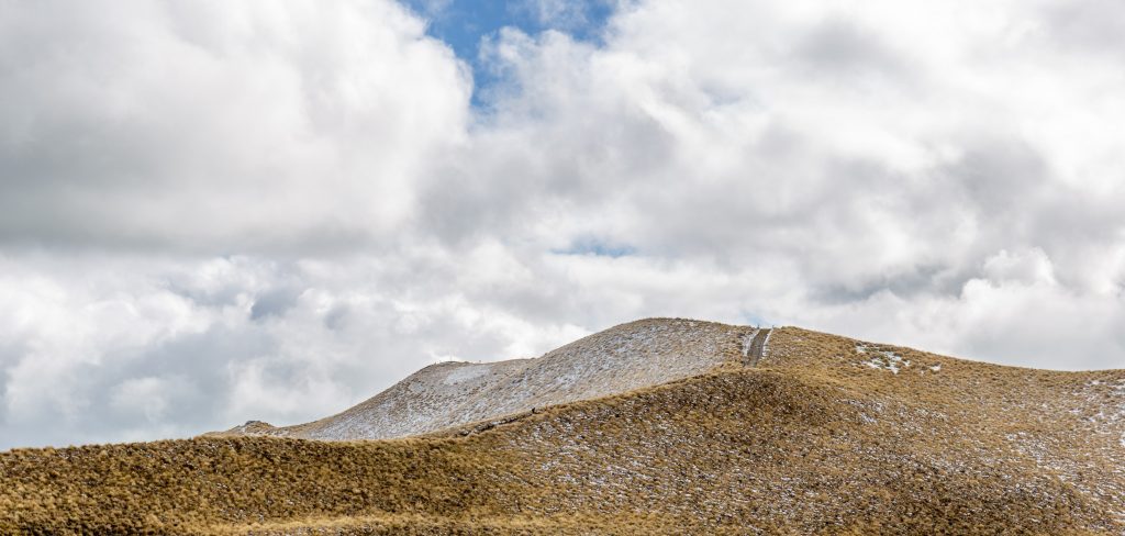
The first part went through the forest and reminded me of a classic hiking trail. Soon it joined 4WD road that took us all the way to the top. The road was zig-zagging the Eastern ridge of Isthmus Peak and sometimes it looked quite endless. There are quite a few false tops so don’t be mistaken – these peaks are definitely not your top – top is always higher and further 🙂 The views from the road up are breathtaking. When we were there, it was snowing. However, the air around us was quite warm so the snow didn’t reach us – but we could still see that it was snowing! Fascinating.
Snowing around
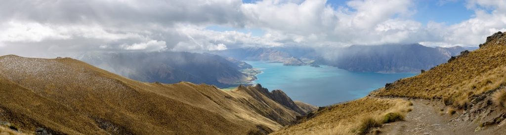
When we finally got to the top, the views were so rewarding! There is barely a better place from where you can have such a magnificent view of Lake Wanaka and Lake Hawea at the same time.
Top of Isthmus Peak
The way down is, unfortunately, the same, but one can’t have loop hikes all the time. Even though the mountain is so easily accessible and technically it’s not a hard trip, you need to be ready for the climb. I was quite shocked by highly unprepared tourists coming up only in sandals. They didn’t even have basic equipment like water, head protection or a jacket. How surprised they were when I told them that it’s snowing up there!
Map
Max elevation: 1370 m
Min elevation: 361 m
Be the first to comment on "Isthmus Peak – ideal day walk by Lake Wanaka"