| → Distance / ↑ Ascent | Time | Map |
| 6 km / 400m | 2 hours | See the online map below |
If you ever wondered where all those hippies go when they get older? Come to Salt Spring Island and you’ll see. Apart from the hippies, the island is full of farms, lakes with naked people and positive energy. One of the best views you can get of the island’s beauties is from Baynes Peak (602m). So, we decided to check it out.
We started our ascent from the end of Duke Road. We got there by bike but walking along a road is perfectly possible, too. Getting there by a car is also an option and you can even continue a bit further up. Because of the the steep hill we decided to leave our bikes behind, locked to a roadsign half way up the hill, and enjoy the sunny day on foot.
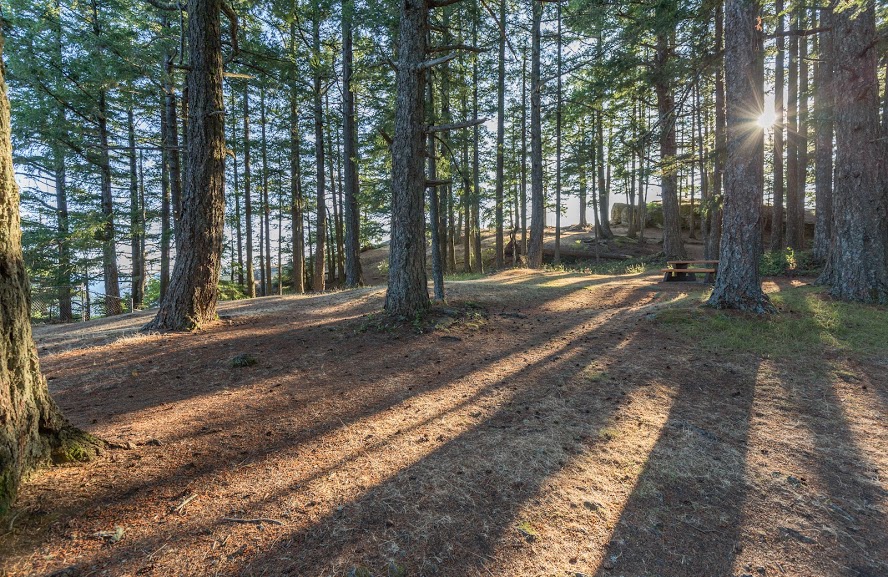
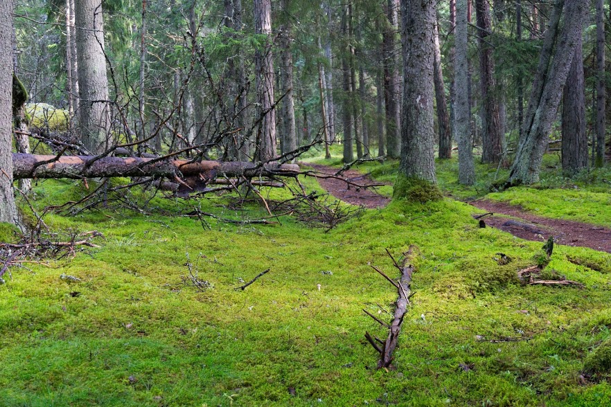
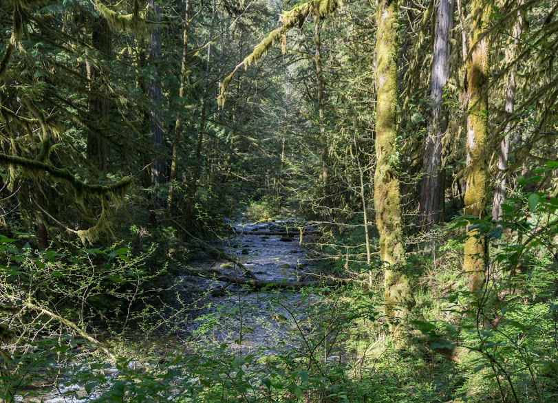
Once you enter the forest, Mount Maxwell Provincial Park begins (Mount Maxwell is an old name for Baynes Peak). It’s a very small park with an area of just over 2 square kilometers. At the top there is a resting area full of benches and tables and to our surprise we found that you can even drive all the way up. It’s always a bit disappointing to find a road at the top of a beautiful mountain, but if that’s your thing, you can drive up! I promise that the views will be the same but you’ll miss the quiet relaxation of the old forest which is one of the best parts of the hike.
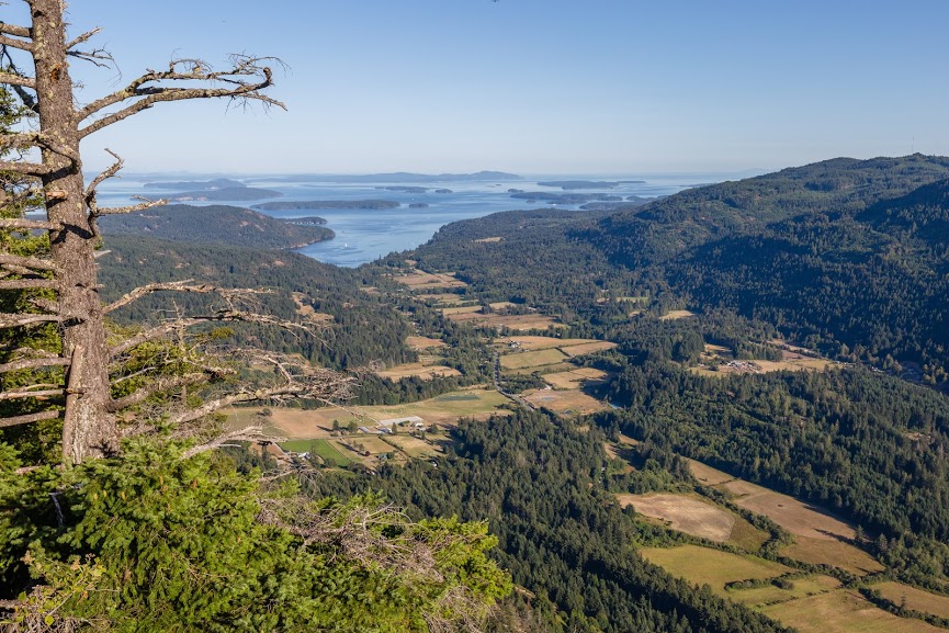
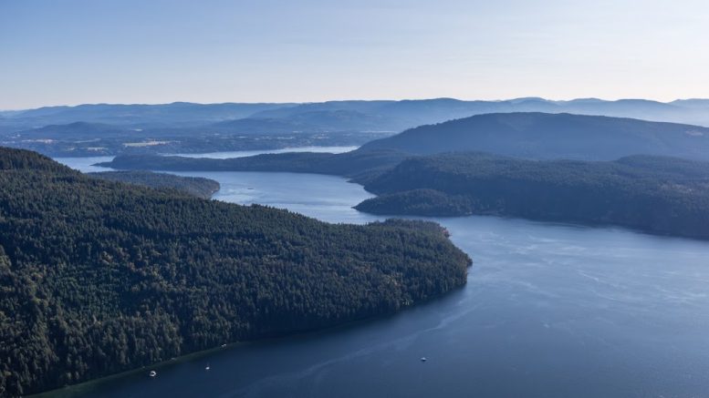
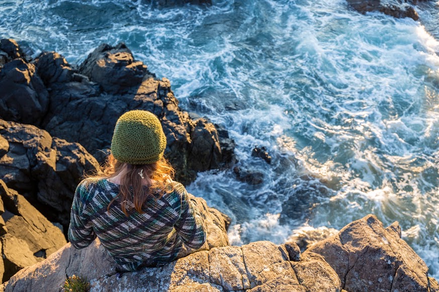
From the top, the views are amazing. You can see a significant part of Salt Spring Island and many of Gulf Islands which surround the area.
There are quite a few paths going in different directions and all of them are very well marked. At each junction there is a small map which allows you to orient yourself and choose a different route if you wish. We chose the same path since we were rushing a bit back to our campsite. Over all this is a small hike but the magnificent views at the top make it a must do if you’re ever on Salt Spring.
Map
Max elevation: 585 m
Min elevation: 232 m
Be the first to comment on "Hiking to Baynes Peak in Salt Spring Island, Canada"