| Hike Facts | Guide | Maps | |
|---|---|---|---|
| Distance | 17 km |  |
1:30 000 (Kompass 231) |
| Hiking time | 6 hours | 1:35 000 (OSE 377 Toeristische wegenkaart) | |
| Online map & GPX files | See below | 1:35 000 (La Gomera Tour & Trail Super-Durable Map) | |
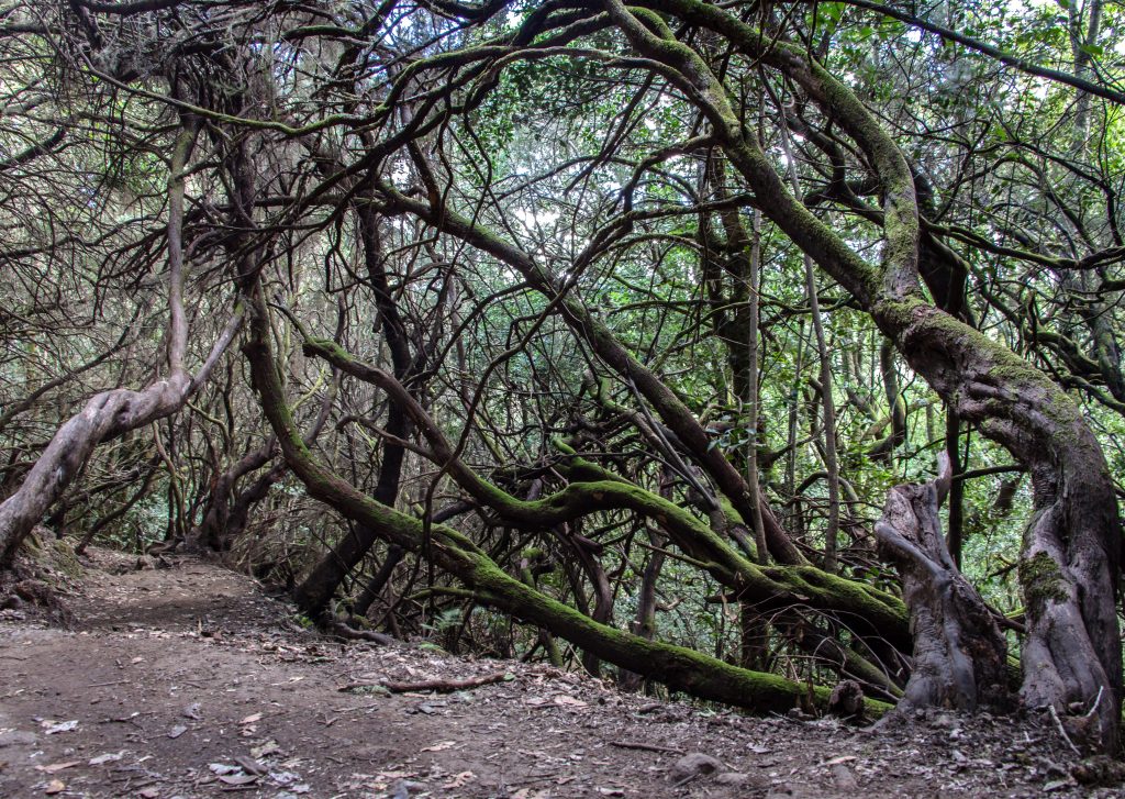
Gran Ruta 18 is the longest trail in the Garajonay National Park in La Gomera, Canary Islands. It’s a circular trail going from El Cedro (800m) to Alto de Garajonay (1529m), the highest mountain of the island. It goes through many ecosystems including the very fine example of laurisilva, beautiful subtropical forest humid like a Finnish sauna.

Laurisilva at dawn
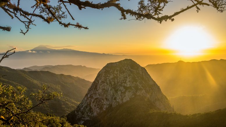
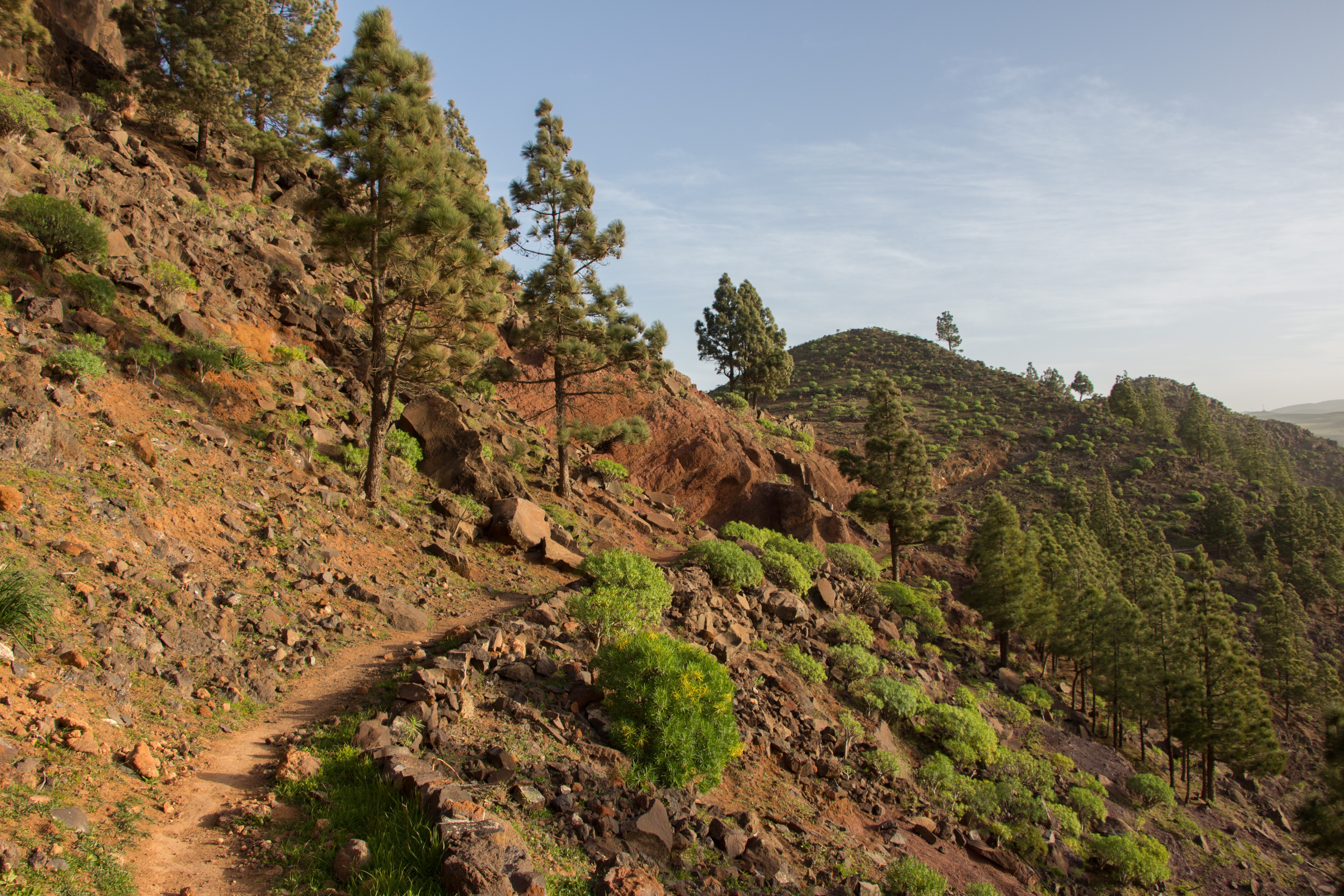
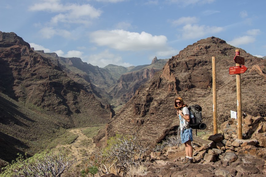
I started this walk on the early Three Kings morning in El Cedro, where is the only campsite of La Gomera. It’s well hidden in the valley with really good food and mixed open showers so everyone can see your hairy body. Anyway – firstly, you gotta go up along the road to Reventón Oscuro from where the trail continues mostly on the left side of the road. I know it’s very tempting to simply follow the main road and don’t bother with the trail’s ups and downs just next to it but there are really breath-taking views from the trail with a few view points (miradora in Spanish).
View from a view point on the trail with Mt Teide in the background
After passing a few parking spots it’s just about 20 minutes to the top of Alto de Garajonay. On the top you can find a reproduction of an old Guancha’s ceremonial ground dated back to 6th century. Guanchas used to gather here when they wanted to talk to their gods. It’s also the place where the last free Guanchas people were hiding from Spanish conquistadors during the uprising in the end of 15th century before they were captured and neither killed or sold as slaves. Yup, same story everywhere.
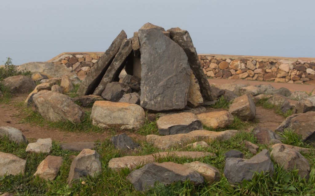
Guancha’s ceremonial ground on the top
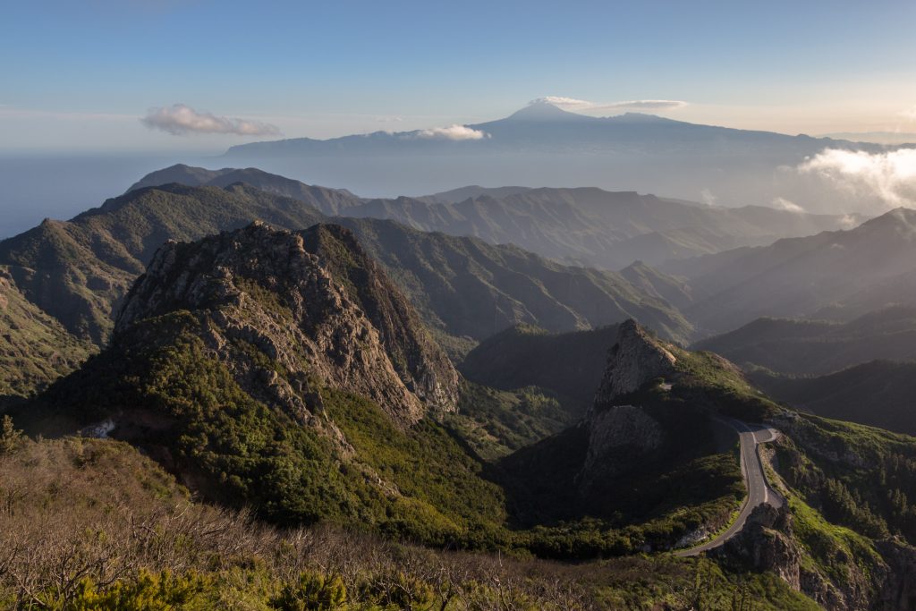
If the weather is good, you can see La Palma and if it’s gorgeous, you can even see El Hierro.
North-western slopes with La Palma in the background
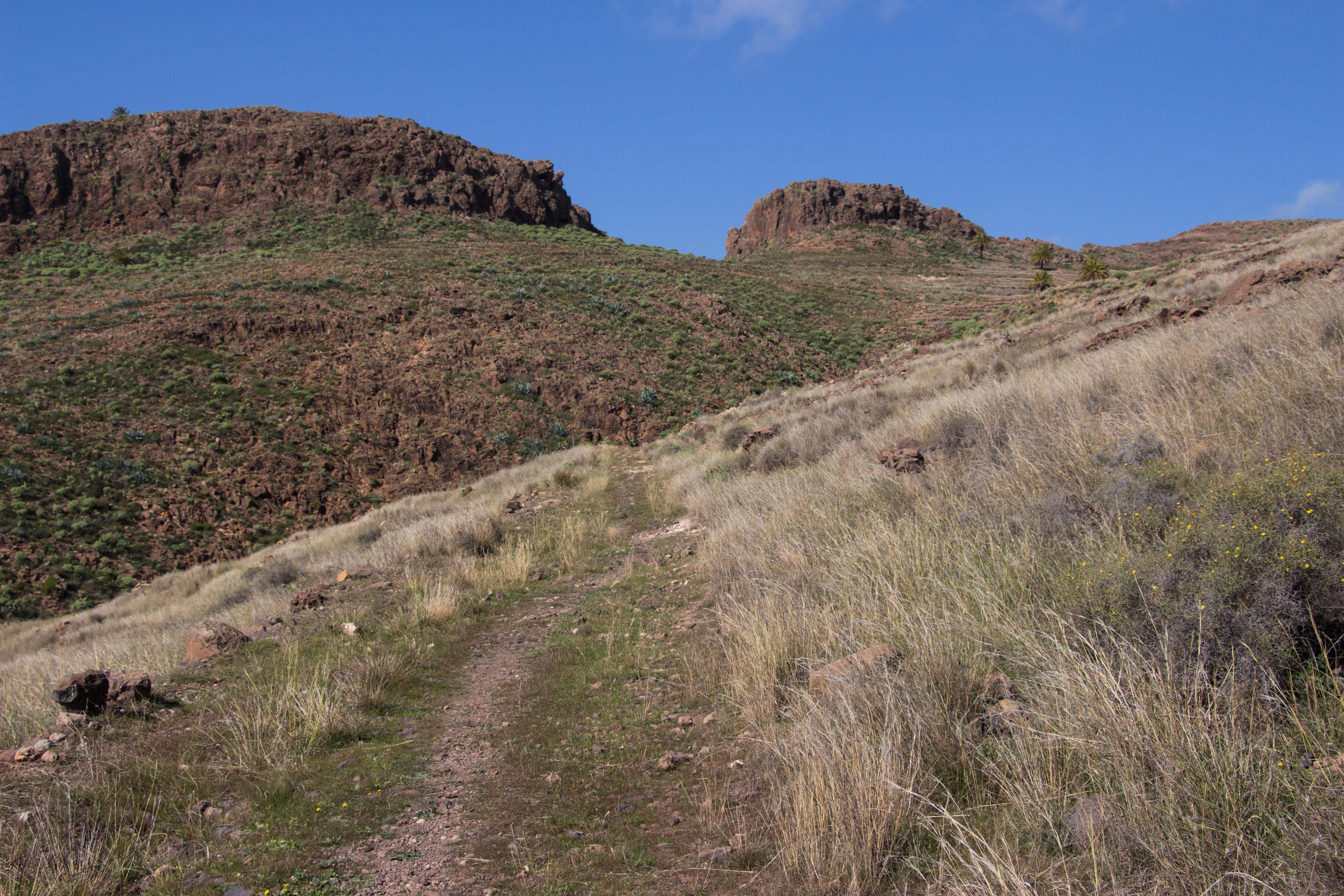
Going down back to El Cedro is simply perfect because it’s gradual and steady descent and not that sudden and steep as you’re used to from the local coastal trails. Curtain of trees are leaning over the trail and make you feel special like anyone else can.
Laurisilva
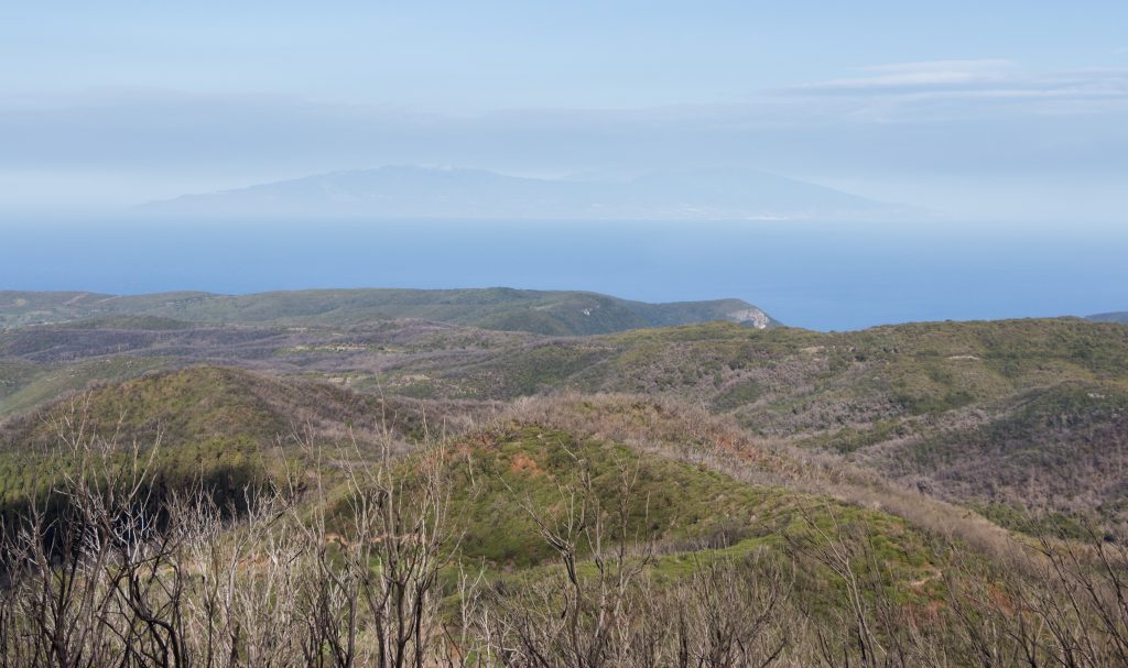
While going down, there aren’t any views to the vast Atlantic waters but who need them when you have laurisilva with carpet of mosses and tall ebony trees along the wild streams? After passing Ermita Nuestra Señora de Lourdes it’s just a short walk back to El Cedro. Local information signs say you need over 9 hours to walk it but I’ve nailed it in 6 including my lunch break, short side trips to the view points and talking to strangers.
Map
Max elevation: 1465 m
Min elevation: 824 m
| Photos taken by me and my lovely Sony a6000 |
Hi there! Any tips for buying camping gas in La Gomera? Thanks!
I’m not sure, sorry 🙁
Hi, love your article! We’re in La Gomera and would love to do this route – is there anyway you could send it to us?
Hello,
i really like your article. I am going to tenerife south by flight and after I am going to the la gomera by boat. Could you help me where could I buy camping gas?
Thnaks a lot,
Yours,
Franky
Hi Franky! As far as I know, they have the gas in Decathlon in Santa Cruz. All the best in your journey 🙂
Hello Michal,
This treck seems very inspiring!
Could you share how you got to el cedro?
And where did you stay overnight?
Is it a good idea to go from San Sebastián and back in a day?
Thank you!!
Hi Nadine! You can get to El Cedro Campsite by driving or taking a bus and walk from the main road. Ask the driver to drop you off as close to El Cedro as possible or at a regular bus stop – there is a marked trail from the bus stop to the campsite, see https://en.mapy.cz/turisticka?x=-17.2072513&y=28.1331909&z=16
We stayed at the campsite for a few days, it was great!
If you want to just go to the top of La Garajonay from San Sebastián, take a bus to Pajarito. It’s less than a kilometer from there to the top, see https://en.mapy.cz/turisticka?x=-17.2463793&y=28.1095020&z=17 Try to explore the trails on the map that I sent, there are some nice easy-going trails around that might be more suitable for you than to go down to El Cedro and back up. Enjoy!