| Walk Facts | Good book about tramping in New Zealand | |
|---|---|---|
| Distance | 5 km |  |
| Ascent | 800m | |
| Estimated time | 4 hours | |
| Hiked on | 18th July, 2019 | |
| Map & GPX files (by John Kerkhofs) | See the online map below (with GPX download) Open the track at NZ Topo Maps |
More books about tramping in New Zealand |
Foggy Peak (1741m) is a popular peak among Christchurch trampers. It’s well situated right next to a car park at Porters Pass and it’s one of the closest high mountains from Christchurch.
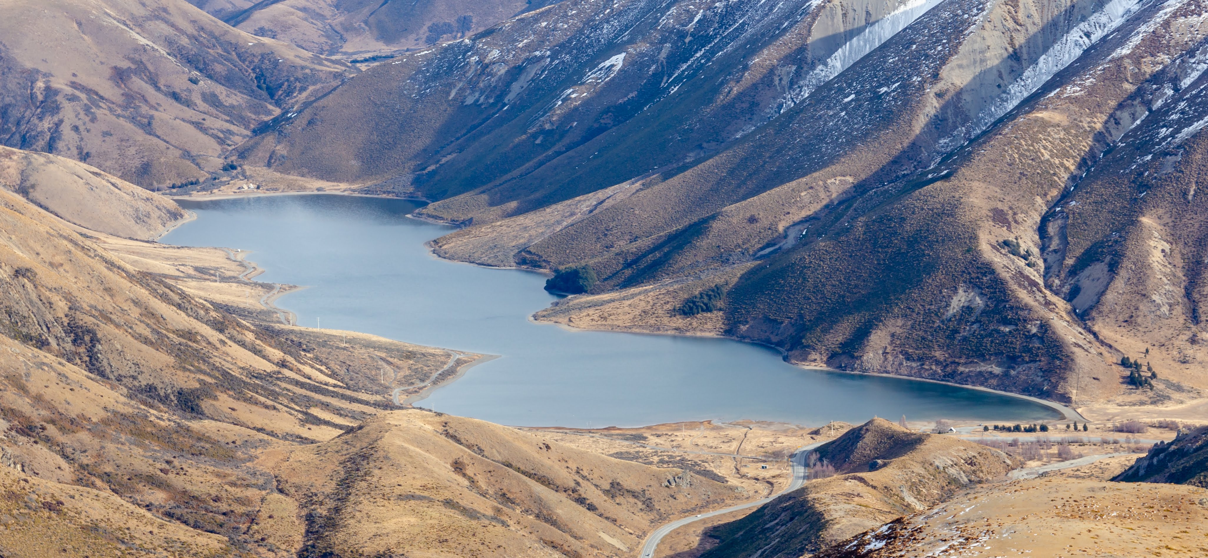
Lake Lyndon that you can see as you start climbing up
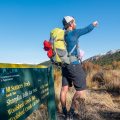
The most popular path to Foggy Peak starts at the car park right at Porters Pass. The car park is big enough for a few dozens of cars and it actually can get pretty busy during the summer weekends. The path to the peak is marked with orange poles and rock cairns. However, it can get confusing in foggy or rainy weather so make sure you see a pole every now and then. In general, you won’t do a mistake if you just keep going up. There are steep parts nothing overly dangerous like cliffs big rocks.

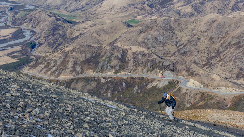
Anna resting on the way up (I should admit that she’s resting because I wanted to rest)
Anna and I hiked the path in July. The weather was nice at the car park but fairly cold and windy up at the top. It’s important to keep in mind that the elevation difference between the car park and the top is about 800m. That can (and will) cause a significant temperature drop so if you head up there, don’t underestimate it. Take a lot of sun scream and water as there isn’t any.

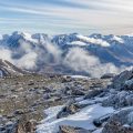
Views from the top ouuuh yeah
From Foggy Peak, it’s possible to continue to Castle Hill Peak (1998m). So far, I’m not aware of any reasonable way how you can make a loop out of it so you’ll have to come back the same way as you came up.

From the top, you can continue to Castle Hill Peak (on the left)
In general, Foggy Peak has brilliant views but, to be honest, it’s a bit boring climb. It’s like right up and right down, only about 2km each way. Though, it’s so close to Christchurch that it makes for an ideal half-day moderate tramp if you wanna get some proper exercise or just see some proper mountains!
Map
Max elevation: 1709 m
Min elevation: 933 m

Be the first to comment on "Foggy Peak via Foggy Peak Ridge, Torlesse Range"