| → Distance | Time | Map |
| ~ 35 km | 9 hours | Online with GPX Printed maps |
In the morning we crossed the borders into the western part of the national park. We were planning to either walk out of the national park in Räumichtmühle or continue all the way to Schmilka. This was because sleeping in the park is not allowed and we believe there is good reason for this.
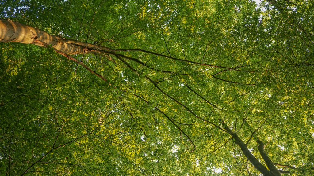
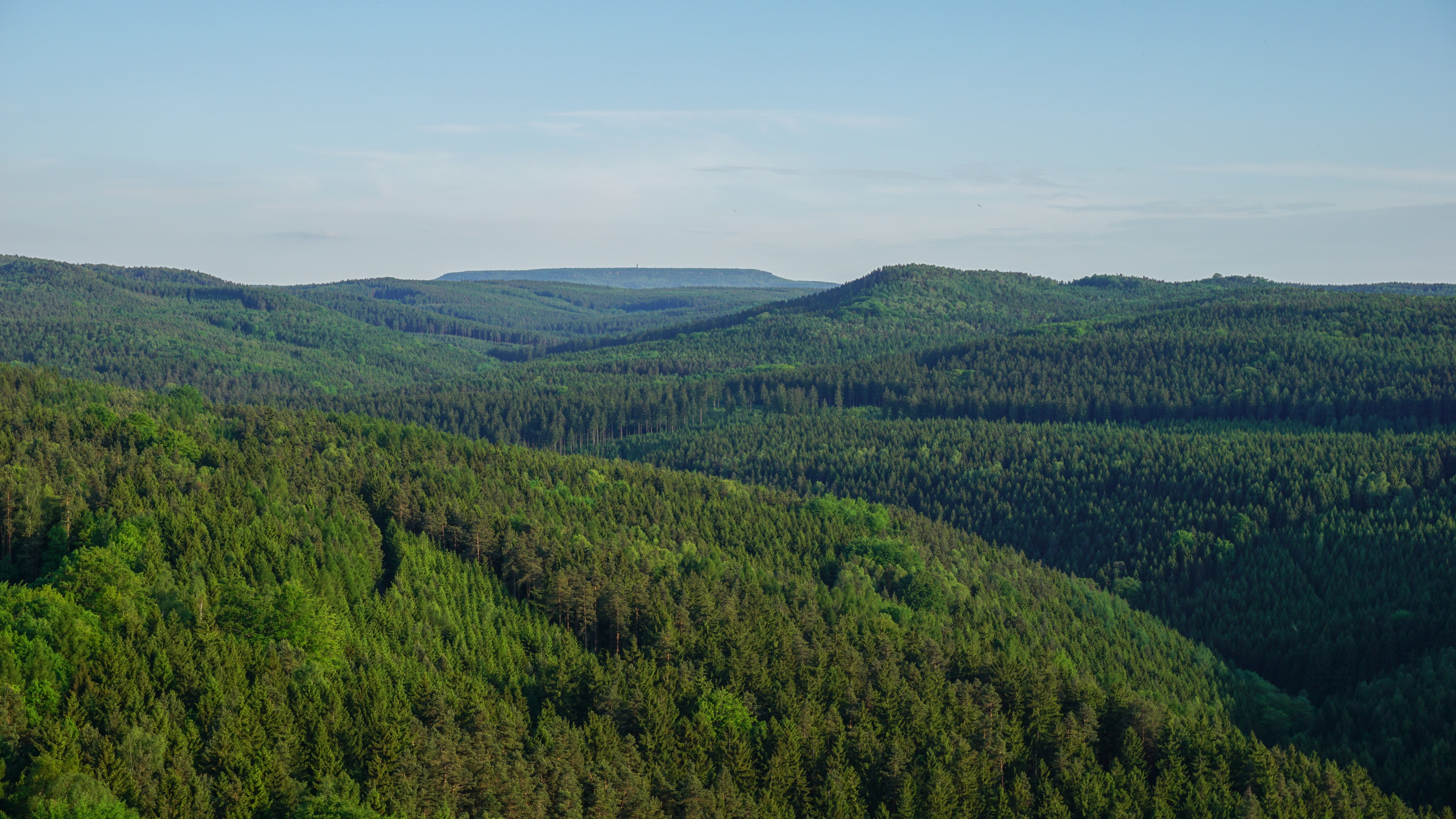
Morning in the beech forest
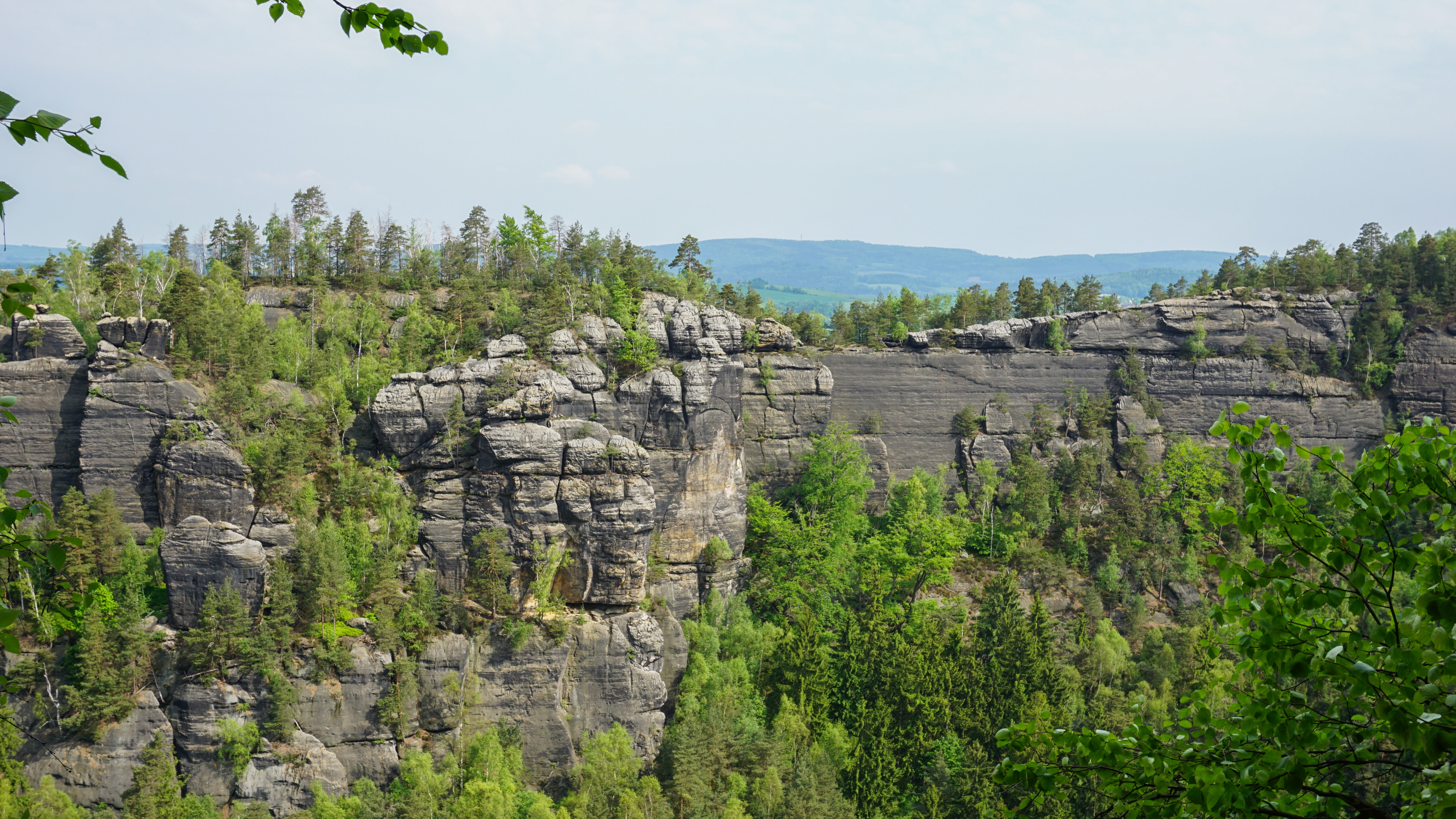
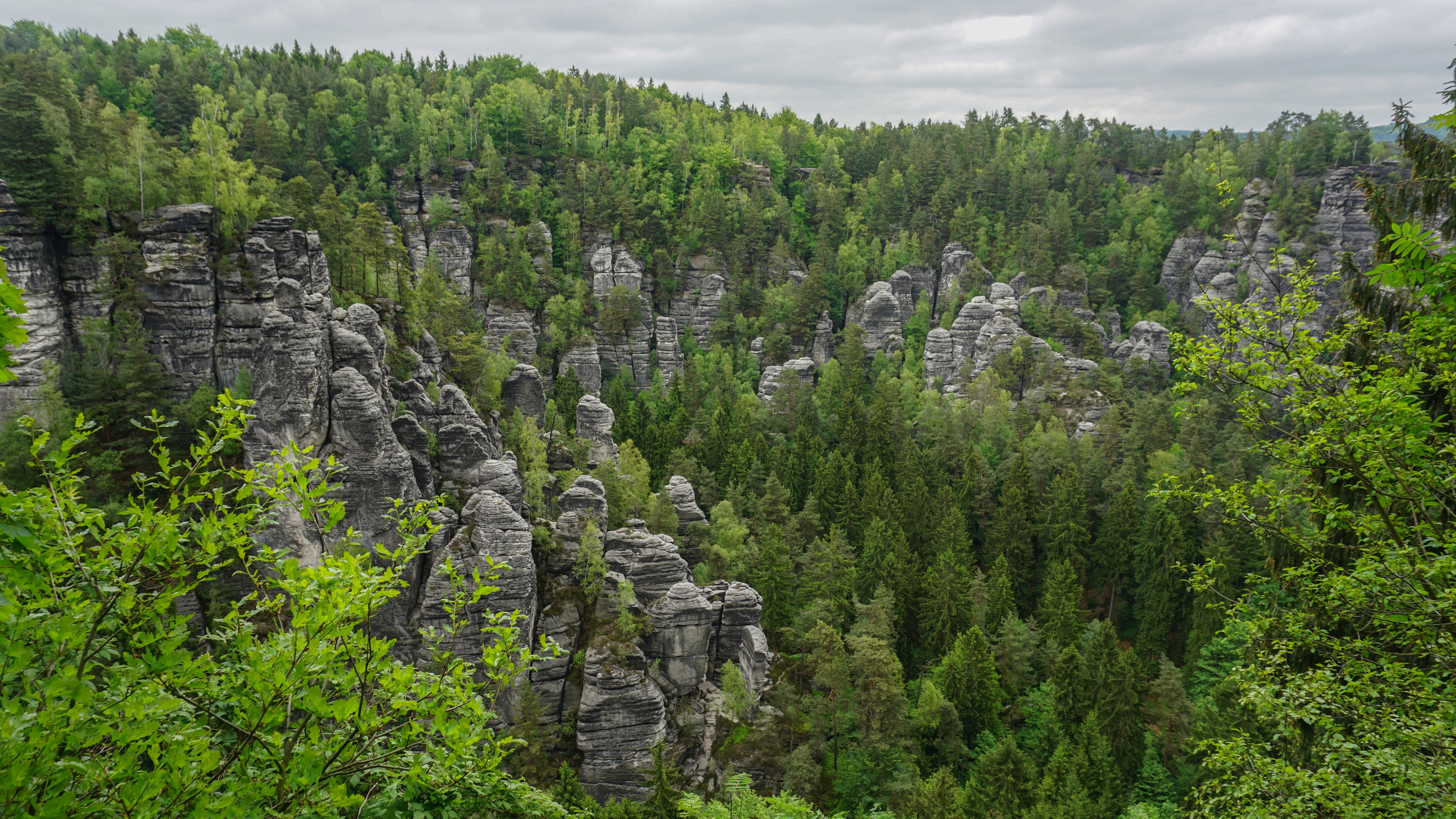
From the early morning, the trail led us through many rocky towns and mazes. It had many more ups and downs before we reached Räumichtmühle. Still full of energy and with vision of a cold lemonade in a pub a few kilometres ahead, we decided to keep on walking.
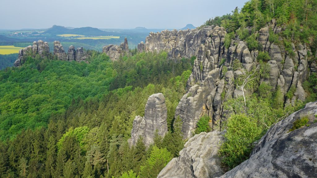
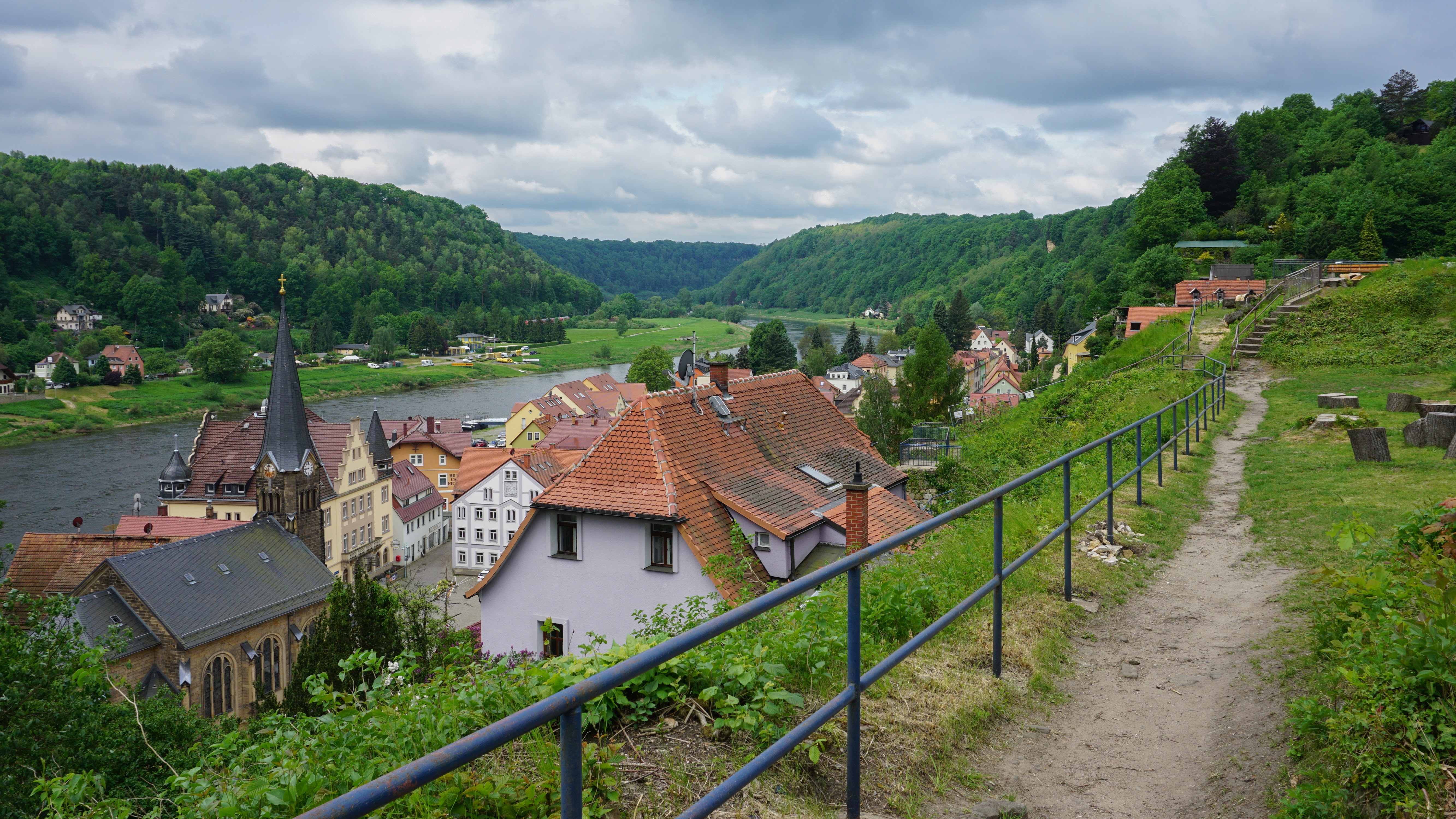
This part of the trail continued to be very hilly with not many flat sections. When we climbed up to Kleiner Winterberg, the highest point of the trail (500 m), we knew it was the last hill of the day and almost celebrated. On the steep way down to Schmilka my legs showed me their disobedience and became a bit wobbly, actually saying that it’s about time to stop. We bought bio bread in Schmilka in a local bakery and took a ferry across the Elbe. The ferry operates every day from 6am until 10.30pm and pretty much every 5 minutes, or any time the captain sees someone on the one or the other side.
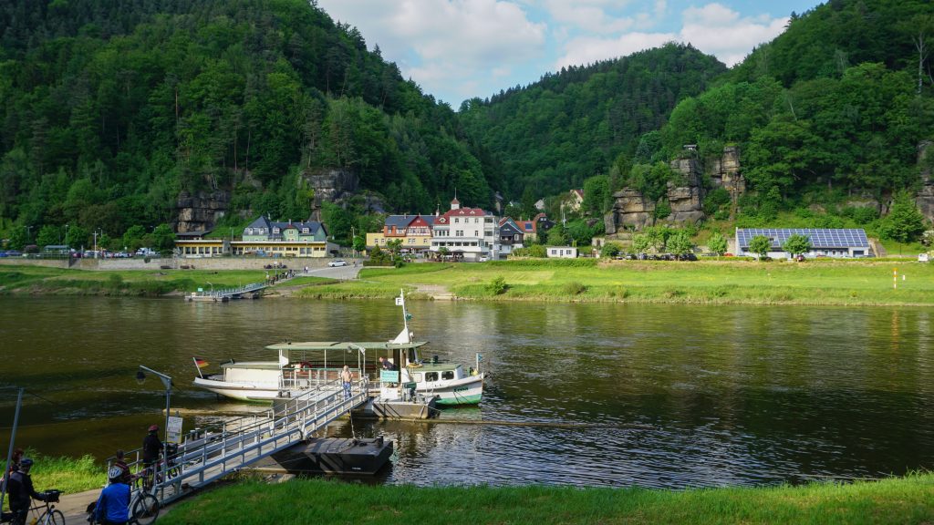
Ferry in Schmilka
We pitched our next bivy on a slope above the calm river Elbe. This was very long day. Next time I’d consider to walk out of the national park somewhere in the northern part of the park and just take it easy.
| << Go back to day 1 | Continue to day 3 >> |
Be the first to comment on "Day 2 of Malerweg: Altendorf – Schmilka"