| Walk Facts | Good book about tramping in New Zealand | |
|---|---|---|
| Distance | 30 km |  |
| Ascent | ~2600 m | |
| Estimated time | 3 days (2 easy days, 1 hardish day) | |
| Hiked on | 19-21th June 2020 | |
| Map & GPX files | See the online map below (with GPX download) Open the track at NZ Topo Maps |
|
| Participants | Kupkin & me | More books about tramping in New Zealand |
What can I say about this trip:
- There are heaps of glowworms on the way to Cedar Flat Hut which can be a magnificent experience if you decide to hike at night as we did.
- The tracks around Cedar Flat are in TOP condition. Incredibly well marked and cut thanks to volunteers from Permolat.
- The track to Yeats Ridge Hut is also great and well marked.
- To go to Crystal Bivouac, go up to the 1300 contour and drop to the biv. The crossing is pretty straightforward in good conditions but in wet / icy / foggy weather the drop from 1300 contour to Crystal biv can be tricky. It’s quite grassy, steep and not marked so some care is required in deteriorated conditions.
- The descent from Crystal Bivouac to Toaroha River is quite steep but generally OK.
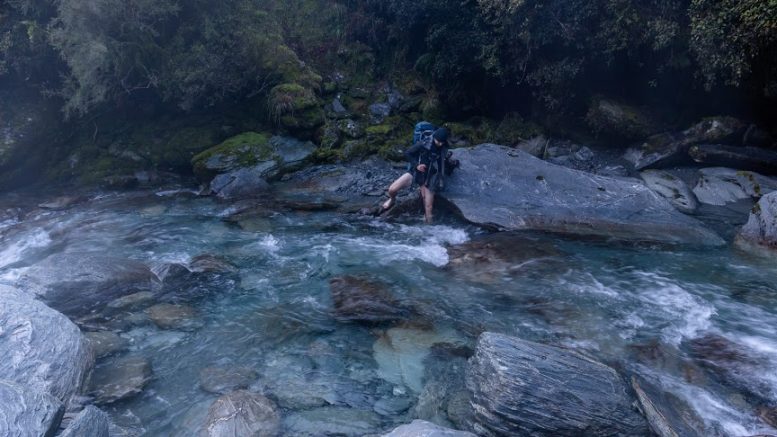
- The return to Cedar Flat Hut via the DOC trail along Toaroha River is a good toil. The track has heaps of ups and downs with some slightly dodgy parts. Realistically I’d count an hour per a kilometer, however a fast tramper without a pack could do it quicker.
Map
Total distance: 30468 m
Max elevation: 1317 m
Min elevation: 95 m
Download file: GPX-hikingisgood-com-nz-crystal-biv.gpx
Max elevation: 1317 m
Min elevation: 95 m











Be the first to comment on "Cedar Flat Hut – Yeats Ridge Hut – Crystal Bivouac – Cedar Flat Hut and back"