| Walk Facts | Good book about tramping in New Zealand | |
|---|---|---|
| Distance | 9 km |  |
| Ascent | ~1000 m | |
| Estimated time | 2 days (with camping on tops) | |
| Hiked on | 21-22th June 2020 | |
| Map & GPX files | See the online map below (with GPX download) Open the track at NZ Topo Maps |
|
| Participants | Kupkin & me | More books about tramping in New Zealand |
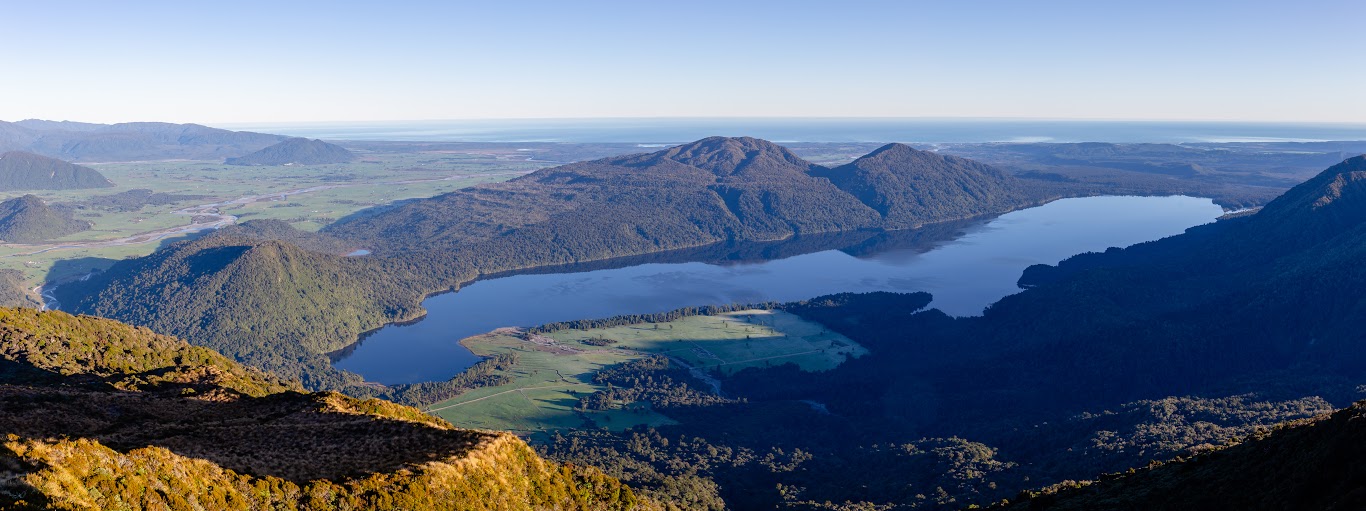
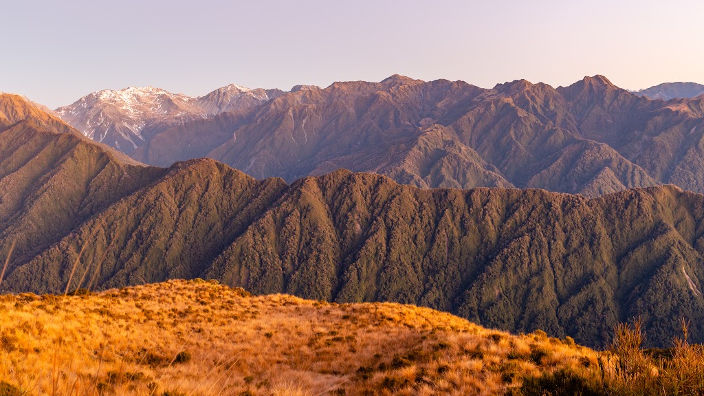
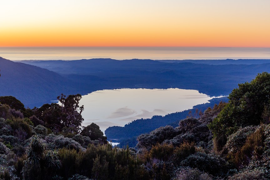
Mt Brown Hut is a beautiful wee hut on the Western side of Newton Range, just outside of Hokitika. Kupkin and I started off at the car park by Geologist Creek. The way up is pretty steep. I wouldn’t take my mum here, even though I took her to Mueller Hut. It took us 2:15h to get up but we were pushing it quite a bit to make it to the top before sunset as we started relatively late in the day.
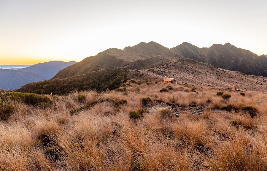
To my surprise, the hut was full. I didn’t expect that on Sunday night! There were already a couple of tents so we pitched ours about 50m from the hut and after dinner pretty much went straight to sleep.
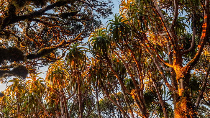
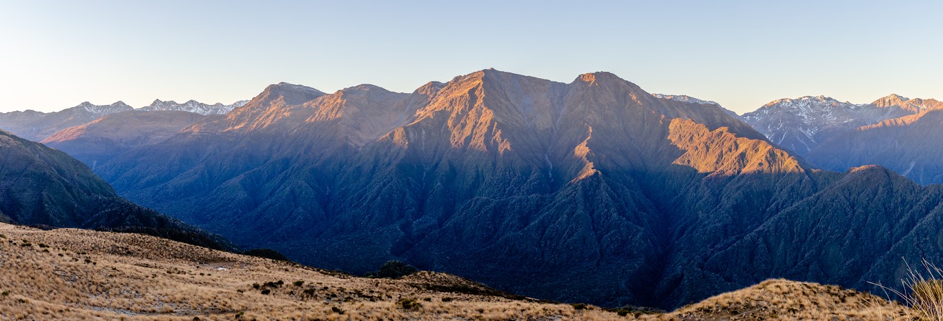
The sunrise was bloody amazing and it’ll long be remembered. It’s not common to have such warm, still mornings on the West Coast. We spent about two hours watching the soft light turning into a harder yellow blanket that eventually covered our tent. After that, we packed and went down the same way.
Map
Max elevation: 1126 m
Min elevation: 164 m


Be the first to comment on "Camping at Mt Brown Hut"