| ↺ Distance / ↑ Ascent | Time | Map |
↺ 15 km / ↑ 50 m |
3 hours |
Online with GPX
|
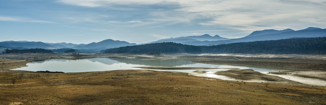
Lake Montbel is a quiet reservoir close to Chalabre. In the summer it’s a popular swimming spot and in the winter, when the water level is low, it calls all the hikers and mountain bikers from local towns. Along the lake there is a walk Tour du lac de Montbel (lit. Tour of the Montbel lake) which most of the time follows the water line all the way around.
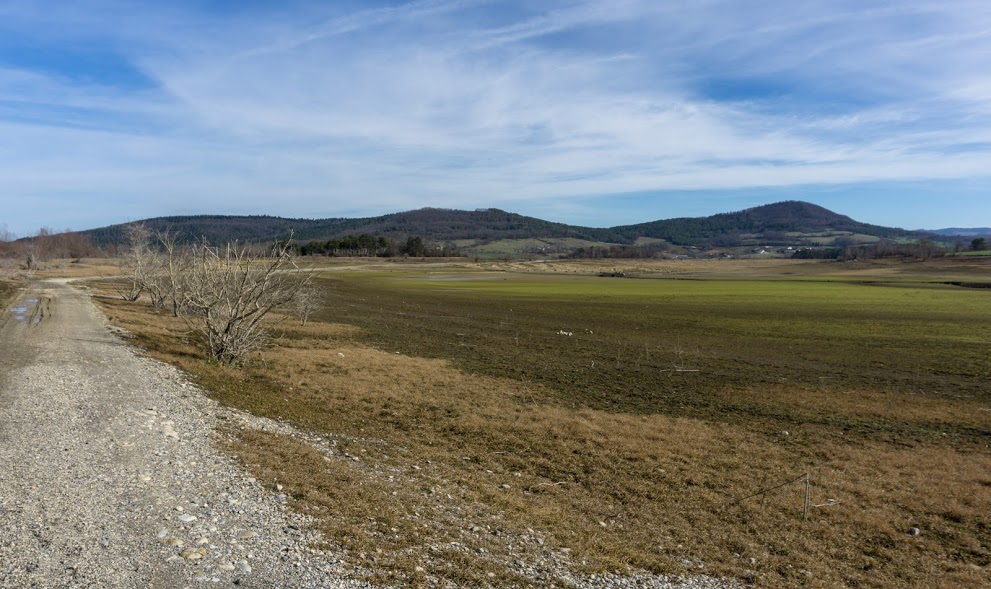
Gravel road around the lake
You can start the walk at any point along the lake. We, coming from western side, started near the campsite La Régate. There is not much to say about the route navigation as it’s very clear the whole time. You can always see the lake so to get lost you’d have to drink a lot of cider. That shouldn’t be a big problem though, because there are a couple of restaurants on the way. By the time we were there they were closed so I guess they open only during summer.
Lake Montbel
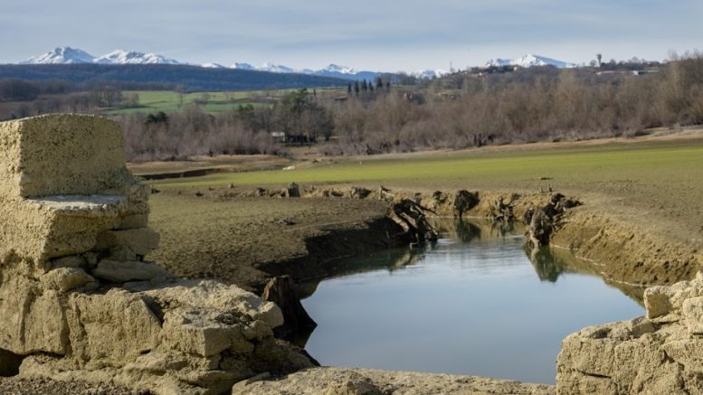
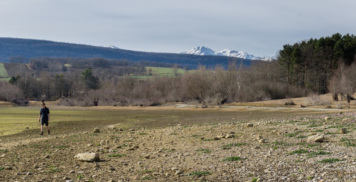
As I mentioned before, the lake’s water level drops significantly during the winter. Hence, a winter hike gives you a great opportunity to explore the lake’s islands (which actually become peninsulas with a low water level) as well as other natural features normally flooded, like old tree stumps or clams shells. There are also some ruins that are still visible, including a very well preserved stone bridge on the southern side of the lake.
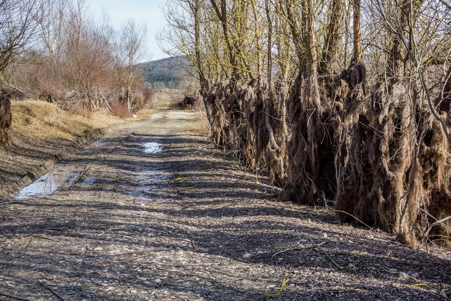
According the trees you can guess where the usual water level height
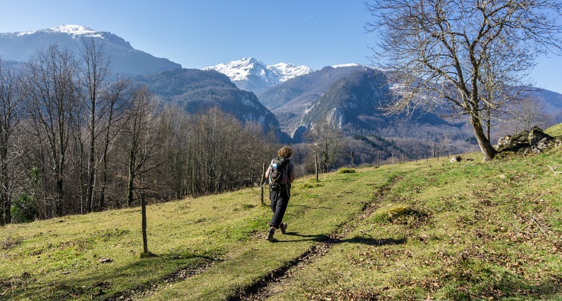
If you have good weather, you have a nice view to the mountains. This part of the Pyrenees is great in that even if it’s technically the middle of the winter, on a good day you can still find yourself walking in shorts and a t-shirt. Isn’t it cool? I think I’ll like it here.
Anna & the lake
Hiked with Anna on 16th February 2016. Photos taken by me and my lovely Sony a6000 |

my type of place (:
Flat, right?