| Hike Facts | Recommended Guide | |
|---|---|---|
| Distance | 6 km |  |
| Ascent | 500 m | |
| Estimated time | 6 hours | |
| GPX files & profile | See the online map below | |
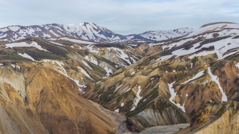
When you are in Landmannalaugar, Iceland, the Bláhnúkur Circuit is one of the day trails you can do there. It is worth doing just as any other trail in the area is. This place is so magical that even if you just climb out of your tent, you’ll be stunned.
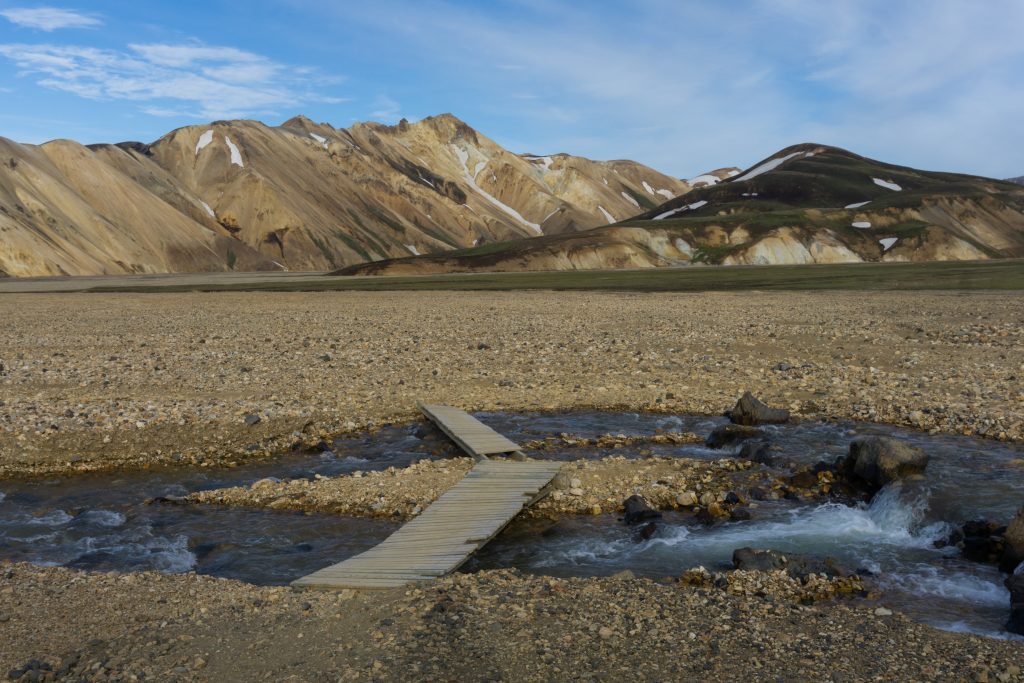
Lovely bridges
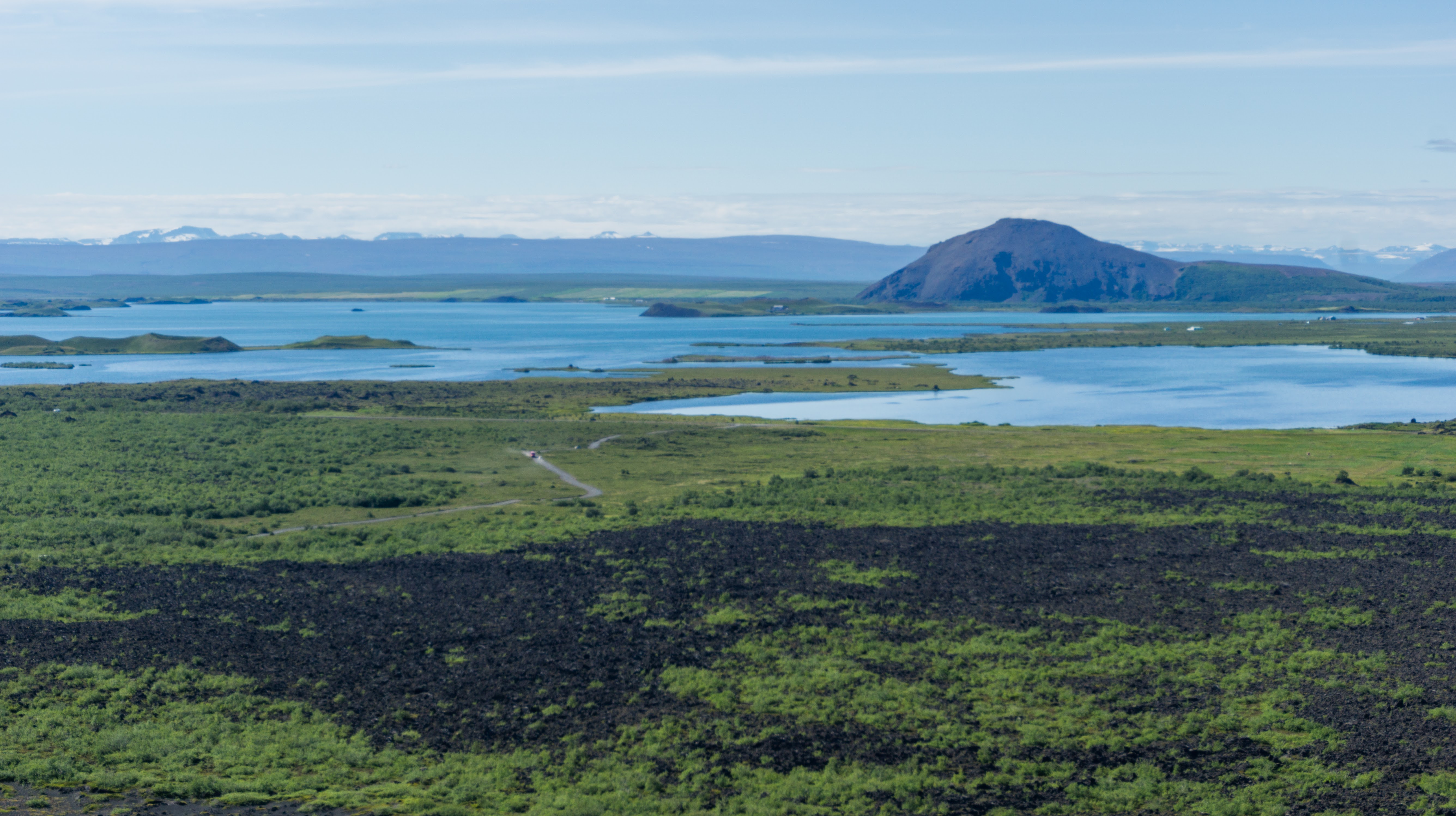
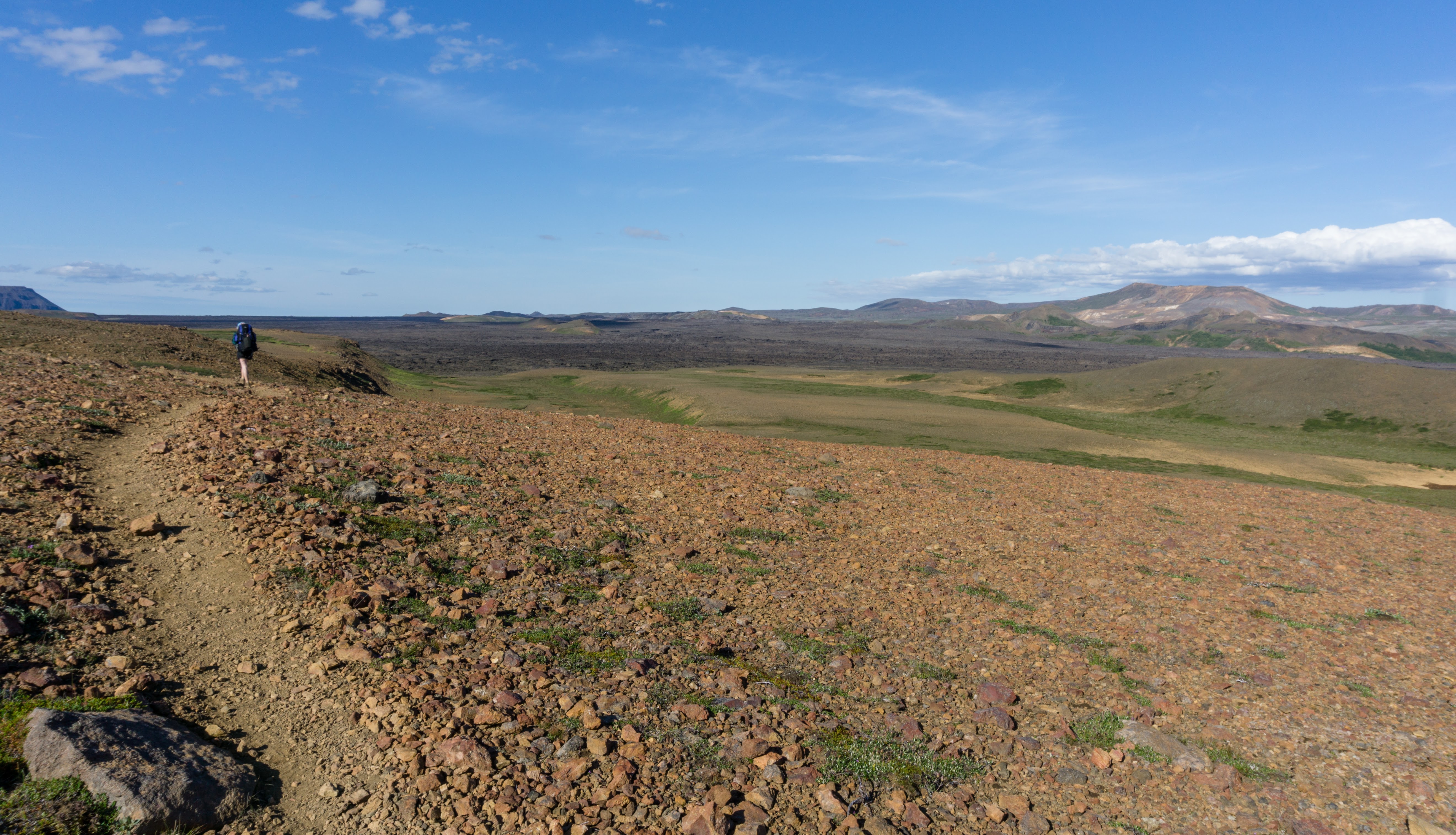
I started to follow yellow signs directly from the campsite. After crossing a small stream the trail went straight up towards Bláhnúkur top. It wasn’t marked but there was only one way go: up. Soon I reached the ridge, sharper than a razor. The views were so incredible! Black lava fields with fast streams cutting across them and a slow river beside. Mountains with rainbowy sides and grassy tops patched by white snow. I got a bit overwhelmed by the beauty around and I felt like I was dreaming.
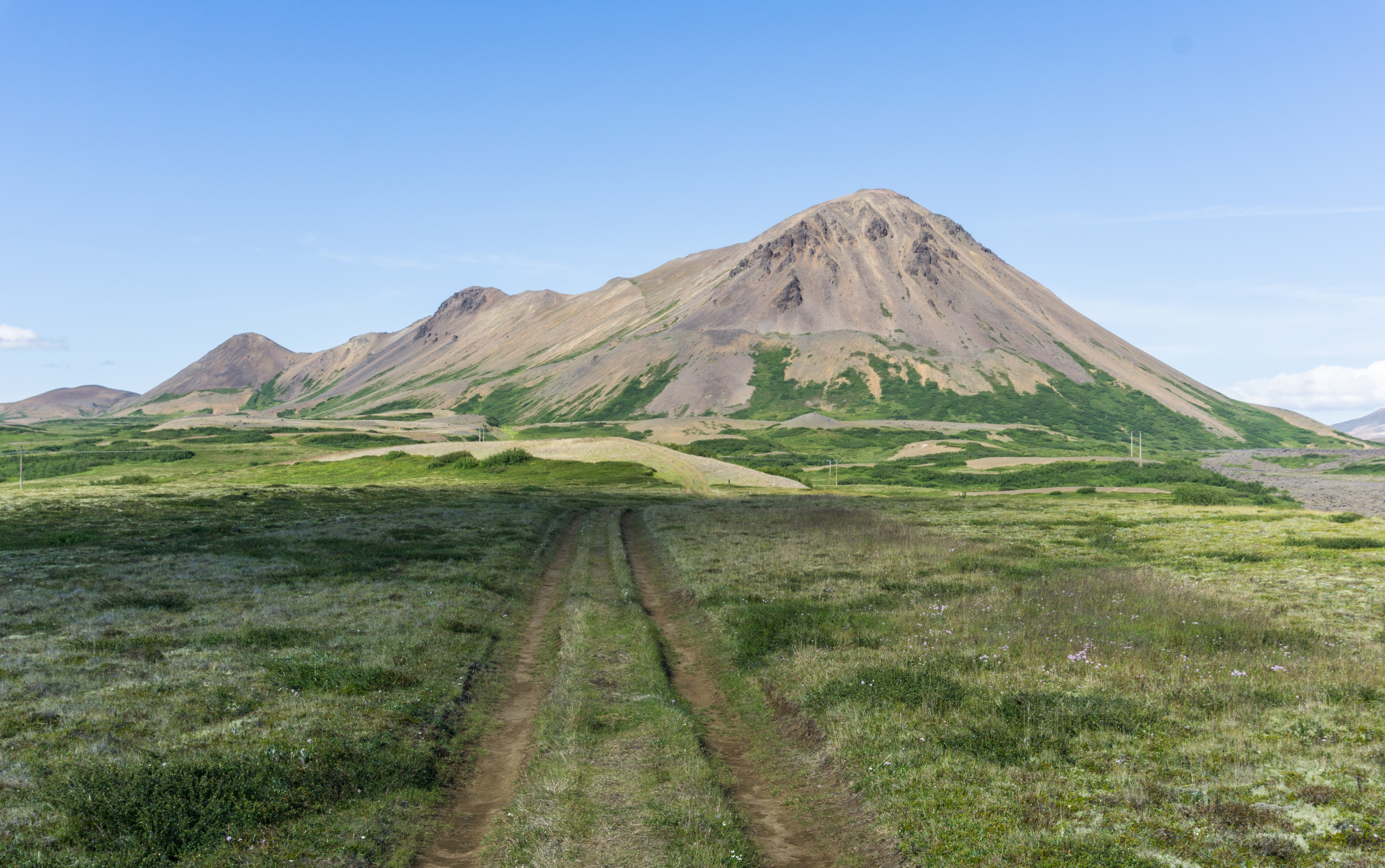
Rainbow mountains
After I reached the top I wasn’t sure whether to cry or laugh so I did a bit of both. Like a mum seeing her daughter in her wedding dress. The local environment was so incredible. Whoever created this, I’m sure (s)he had a lot of fun. Like a Greek Columbian of Chinese descent chucking species into her Thai curry.
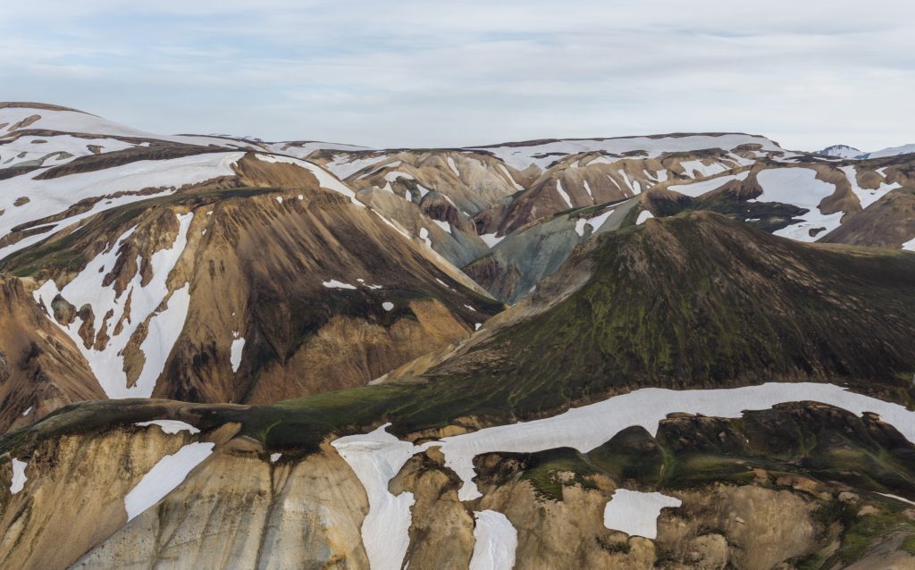
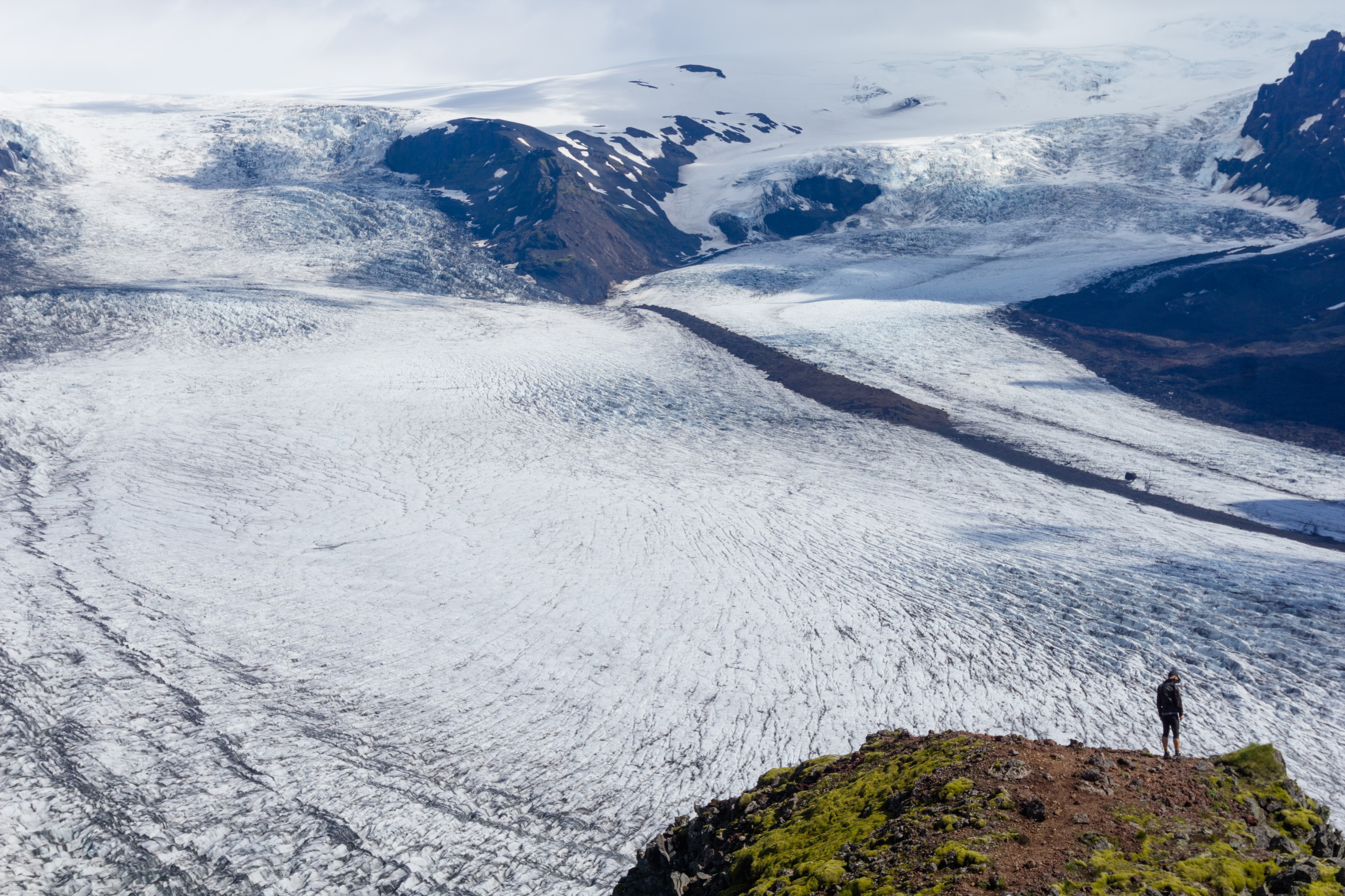
Valley at Bláhnúkur foothil
The descent took a bit longer than I expected. The trail was not marked and there were many ways to go. I’m sure I took the longest one. Later on I found out that all the routes meet up down at the valley bottom anyway.
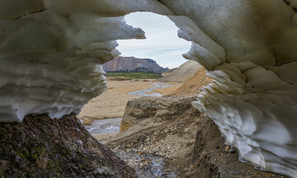
Snow bridges are quite common in Iceland
After crossing the river I came to the dark lava maze. Fortunately the path through the lava area was marked so I didn’t get as lost as Frodo going to Mordor.
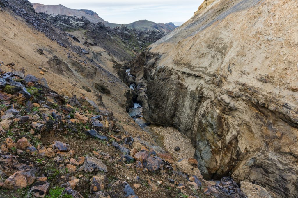
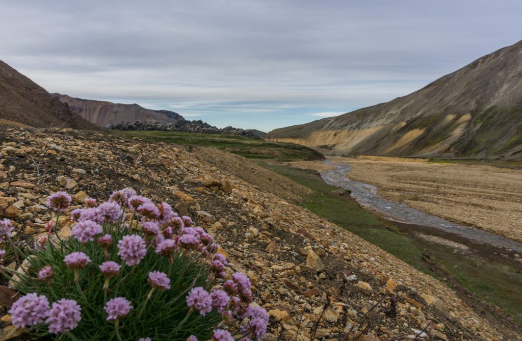
River’s canyon which heads back to the campsite at Landmannalaugar
Passing a few waterfalls I got back into the campsite. On the map, the trail looks easy and short but the terrain makes it a bit harder and longer. Altogether it took me about 2.5 hours. But, without a doubt it’s one of the best ways to start or finish your day!
Map
Max elevation: 917 m
Min elevation: 583 m
| Hiked with Anna in July 2017. Photos taken by me and my lovely Sony a6000 |
My lovely Iceland. <3